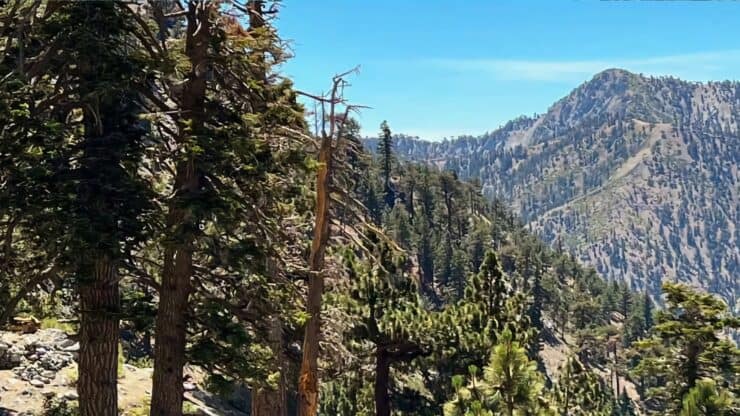

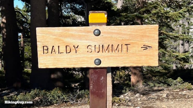
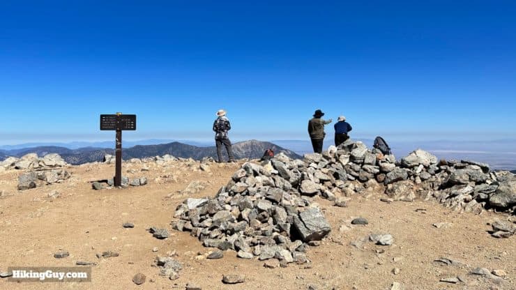
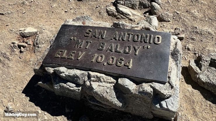
The Baldy Bowl Trail, also known as the Ski Hut Trail, is the shortest route to the summit of Mt Baldy. Unfortunately, that short distance comes at the price of a very steep climb. For fit hikers, you'll have to work, and for those out of shape, expect to take breaks to catch your breath as you navigate the steep slopes. Along the way, you'll have a picture-perfect spot to rest, the Sierra Club Ski Hut. And the final payoff is reaching the highest point in Los Angeles County, Mount San Antonio, known colloquially as Mt Baldy because of its bald face.
- Video and Turn-by-Turn Directions for the Baldy Bowl Trail
- Is There Snow on the Trail?
- Parking For the Baldy Bowl Trail / Ski Hut Trail
- Tips & Recommendations
Although this is the shortest hike to the summit, the route to Mt Baldy via Baldy Notch and the Devil's Backbone is the more traditional beginners' experience. The slopes are not as steep (overall), and there are more places to catch your breath.
Where is the Baldy Bowl Trail?
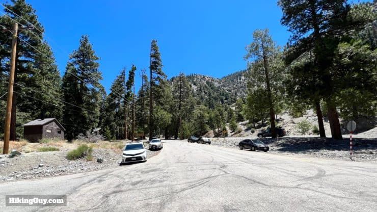
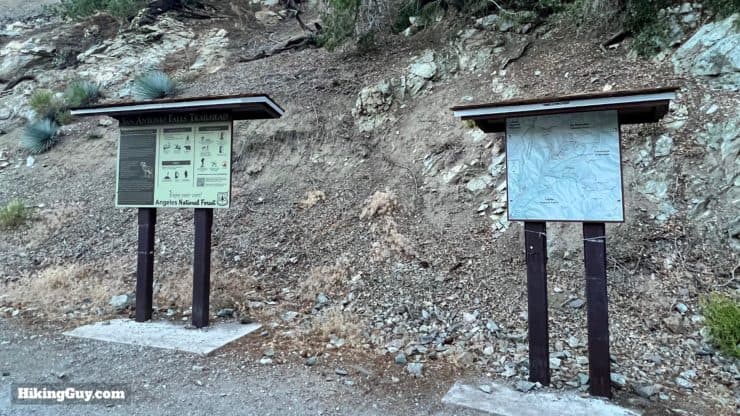
The Baldy Bowl Trail hike starts from the Manker Flats parking area, about 4.5 miles past Mt Baldy Village. Use this trailhead address:
993 Falls Rd, Mt Baldy, CA 91759
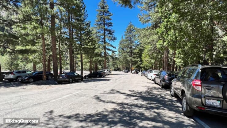

Do you need a parking pass? Technically, if there's a facility like a bathroom (which there is), you do. But according to the Forest Service fee area map, at the "Baldy Bowl Trailhead" you don't. If you park further down at the Manker Flat Campground you need an Adventure Pass or National Parks Pass.
Is There Snow on Mt Baldy?
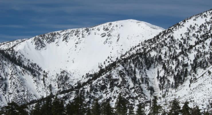
Unless you have mountaineering experience and local knowledge, the Baldy Bowl Trail should only be attempted when free of snow. The weather is more unpredictable than ever, but generally, the area is free of snow from May to November. Even if it hasn't snowed in a while, snow can linger on the cooler slopes of the Baldy Bowl Trail. So, if you are in a shoulder month and want to check for snow, here's what I'd do.
- Check the ski report for Mt Baldy Notch. If there's snow a the notch, there's probably snow at Baldy Bowl.
- View webcams that show Mt Baldy in the distance and look for snow.
- Visit the Mt Baldy summit weather website. If you see freezing temperatures at the summit, there may be ice.
- Check the USDA snow-depth tool.
Want an alternative hike that's usually snow-free? Hike to the highest point in Los Angeles (city), Mt Lukens.
Gear For the Hike
Assuming the conditions are good, you'll still want to prepare for the alpine environment. It can be hot at the trailhead and cold and windy at the summit. Here's what I recommend:
- Bring extra layers and a shell for the summit. The average wind speed on the summit is 45mph.
- Trekking poles are crucial when navigating these steep slopes.
- 3L of water should be enough for the hike. If you have a water filter you can carry less and refill at San Antonio Creek by the Ski Hut, which generally flows all year.
- The sun can be brutal, even if it's cool. Bring some protection.
- Snacks will help keep your energy levels up.
Gear That I Love Right Now
Nothing is sponsored or promoted, just the actual gear that I use.


Camping On Mt Baldy
There are no official campgrounds on the Baldy Bowl Trail or Mt Baldy. And there's conflicting information from Angeles National Forest on whether dispersed camping outside official trail camps is allowed. But in practice, it is permitted, and there are several stone wind shelters on the summit where you can camp. If you decide to camp, know that it's extremely windy at the summit and not a calm place to sleep. I've marked some alternative sheltered (and unofficial) spots along the way on the map below if you'd like to overnight in the area. Your best bet for water is the creek crossing by the Ski Hut.
Baldy Bowl Trail Maps
How Will You Navigate?
 Using the Apple Watch for Hiking
 Garmin Fenix 7 & Epix Review For Hikers
 How To Read a Topographic Map
 Garmin GPSMAP 67i Review
Elevation Profile
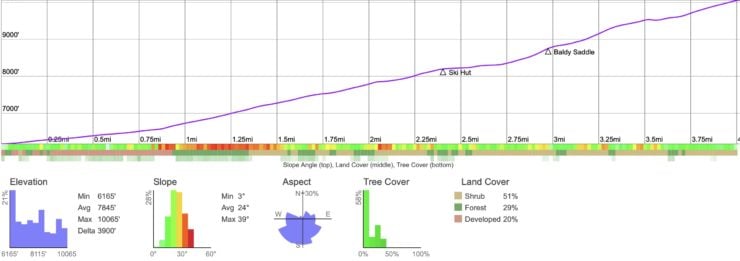
Landmarks on the Hike
| Landmark | Distance | Elevation |
|---|---|---|
| Trailhead | 0 | 6165 |
| Ski Hut | 2.5 | 8250 |
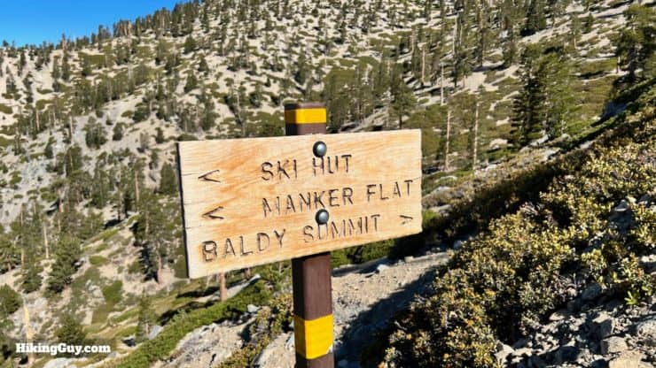
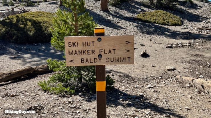
| Baldy Saddle | 3.1 | 8800 |
| Summit | 4.4 | 10064 |
3D Map
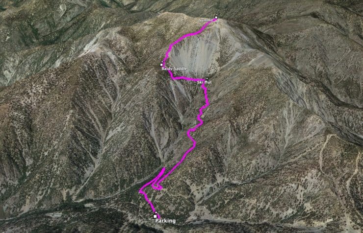
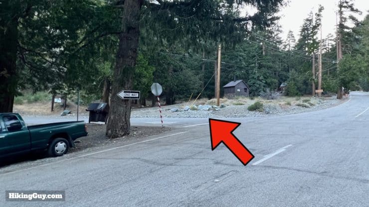
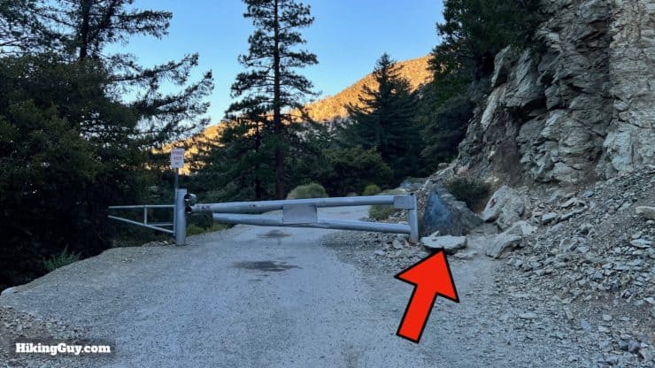
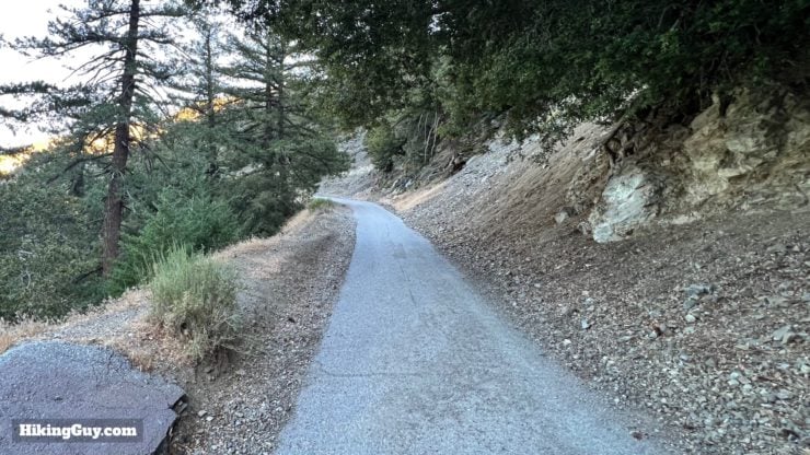
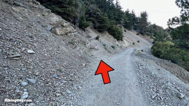
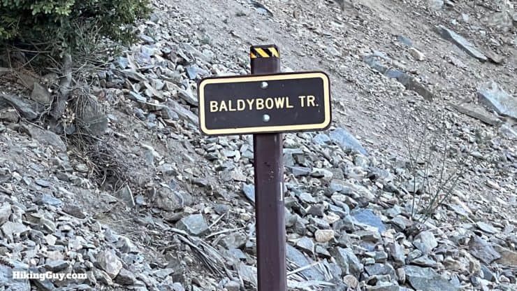
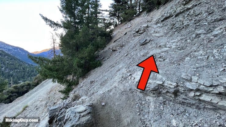
Baldy Bowl Trail Hike Directions
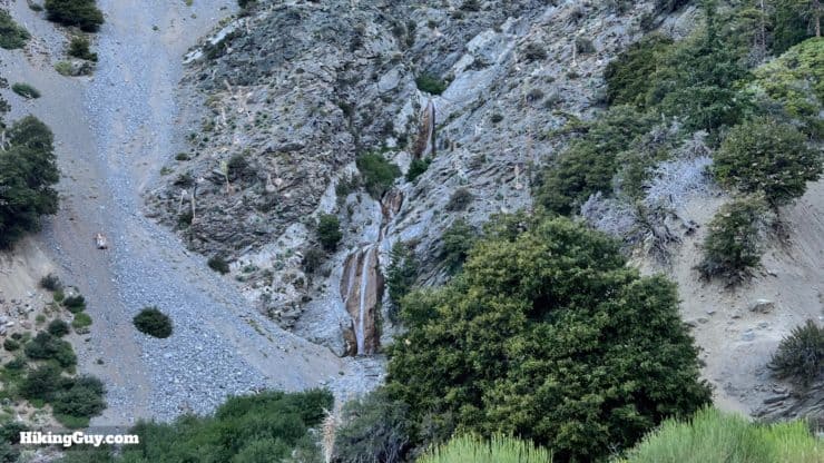
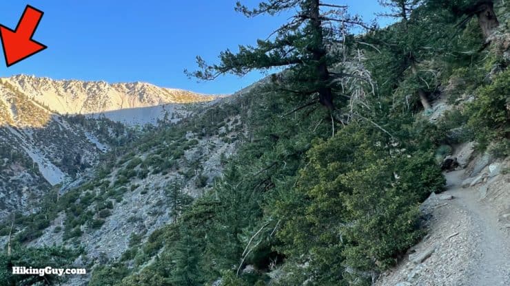
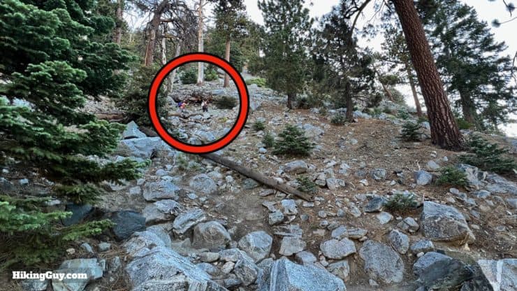
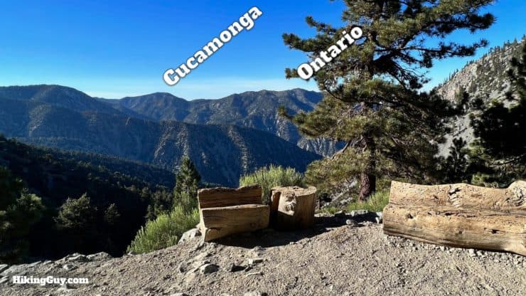
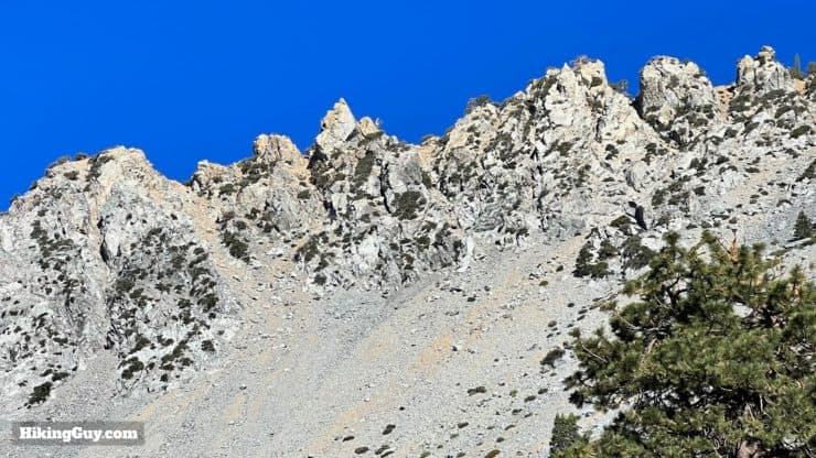
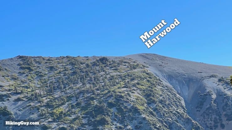
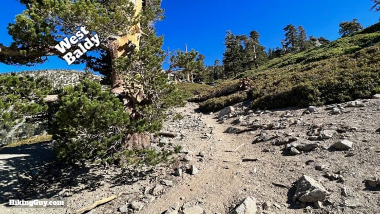
The Gold Ridge / Agamemnon Mine used to sit at the head of the canyon in front of you. Operating from 1897-1907, it was destroyed by an avalanche. Although some scattered wreckage remains, most has been washed away by flooding over the years.
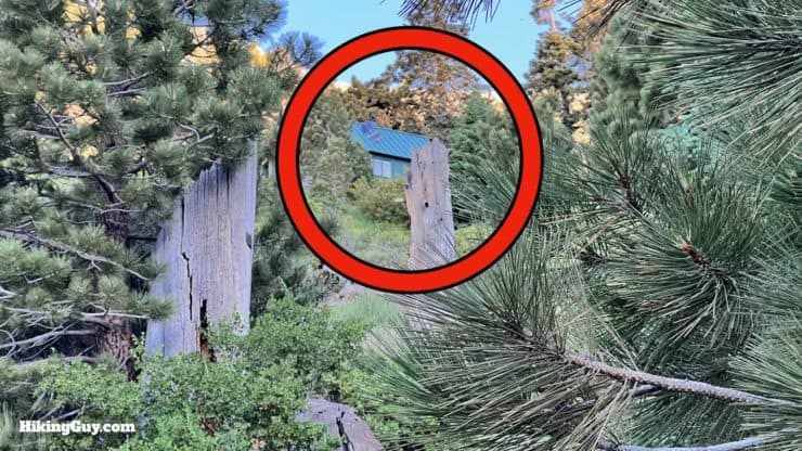

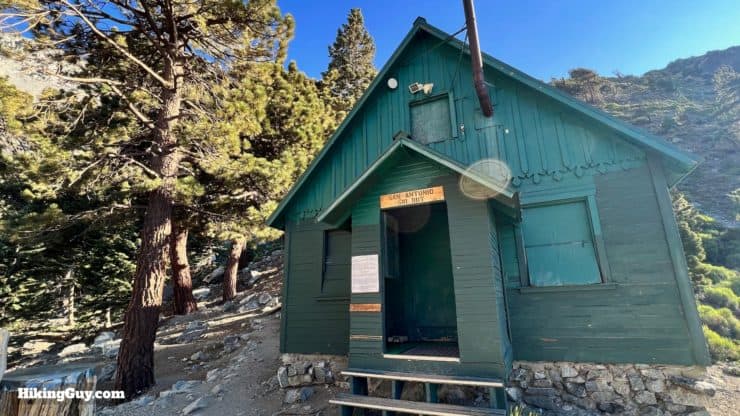
The Ski Hut was first built in 1936 by an Austrian transplant to LA who wanted to recreate the hut experience of the Alps. That hut burned down and was rebuilt in 1937, which is the hut you see today. The Sierra Club runs the hut, and you can make reservations to overnight there.
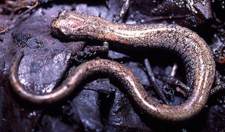
salamander, a species discovered in the 1990s that only exists on these upper slopes of Mt Baldy.
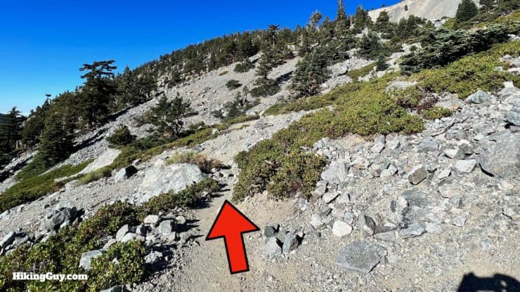
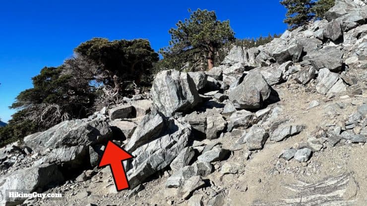
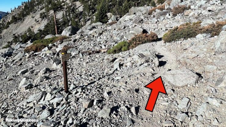
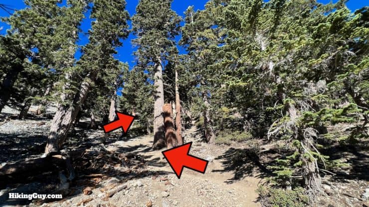
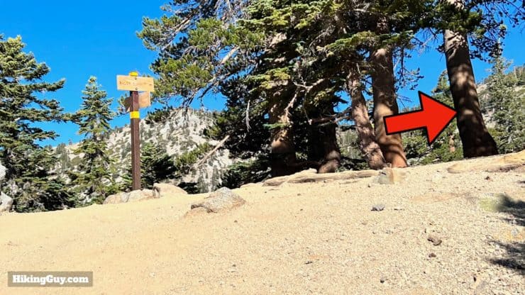
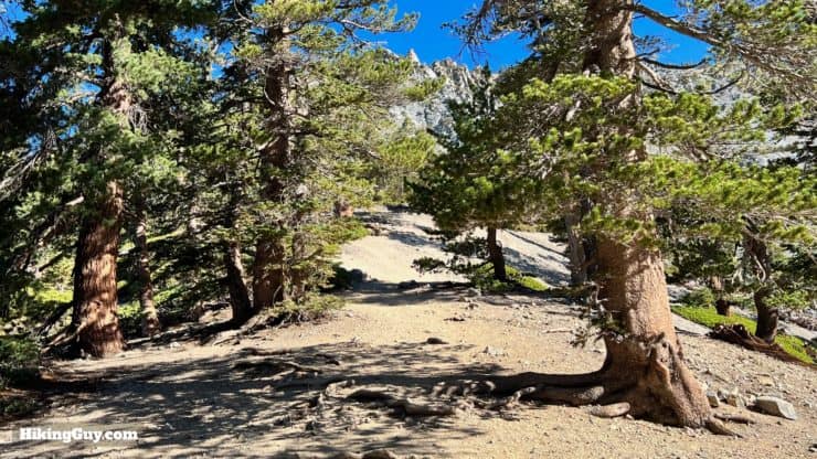
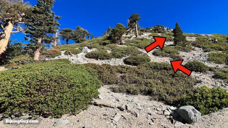
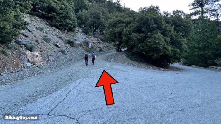
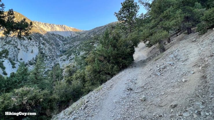
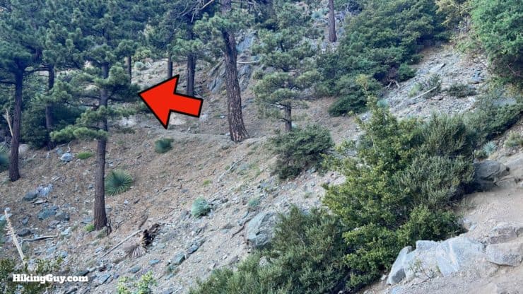
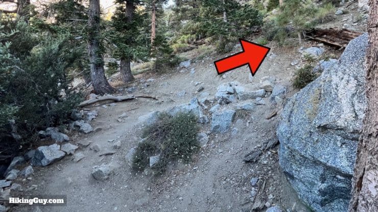
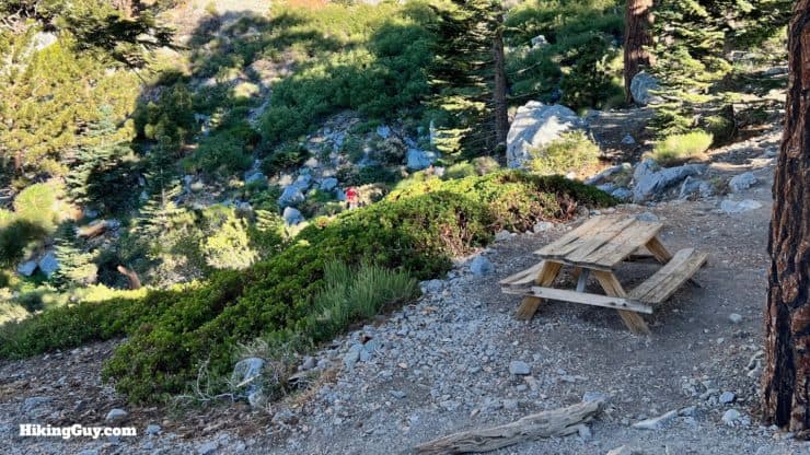
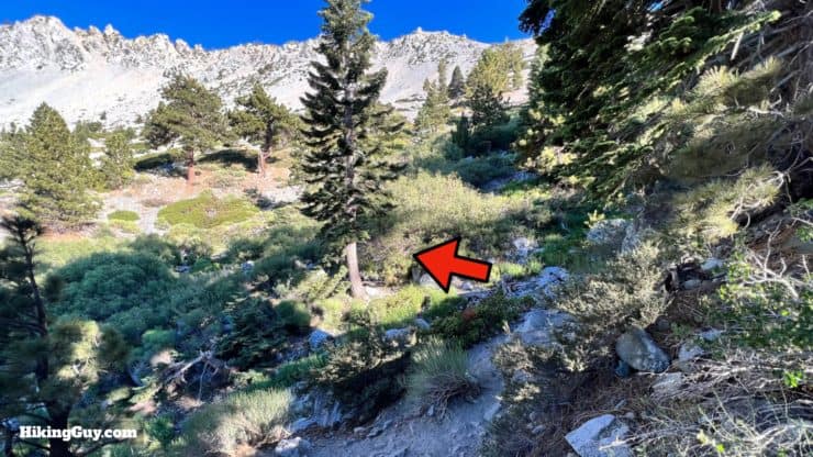
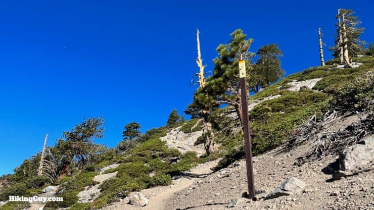
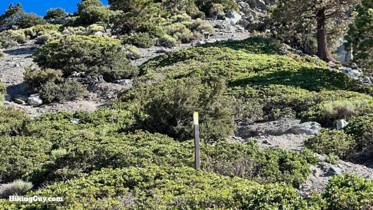
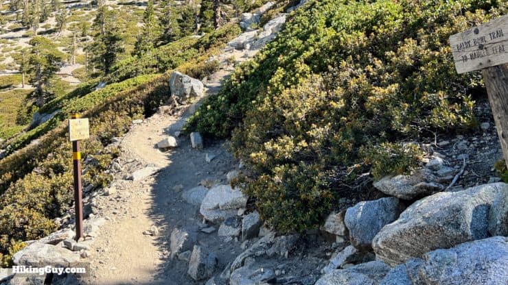
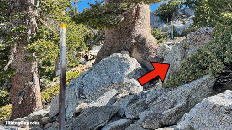
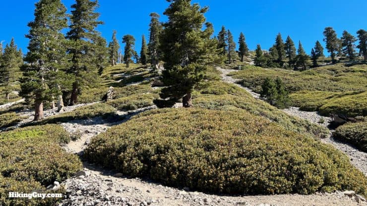
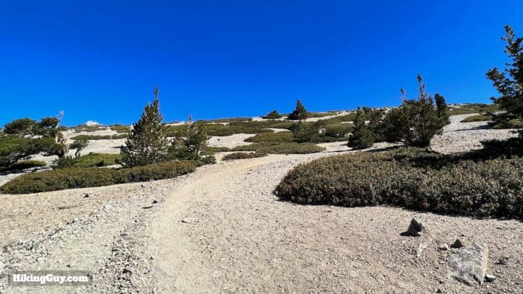
From here to the summit the trail frequently splits and rejoins itself. Just look for the path with the most footprints as you climb. If your trail starts to fizzle out, backtrack or look for it to join a more established trail to your left or right.


Need More Info?
- Have a question about the guide or want to see what other people are saying/asking? View the Youtube comments for this video. Leave a comment and I will do my best to respond.
- When planning, always check the park website and social media to make sure the trails are open. Similarly, check the weather and road conditions.
Related Guides
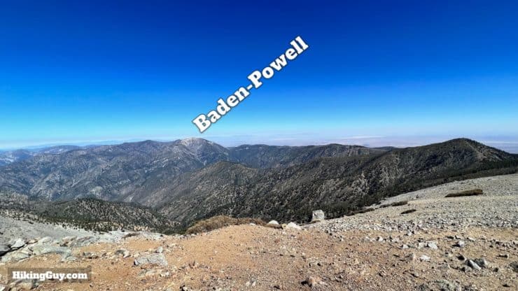
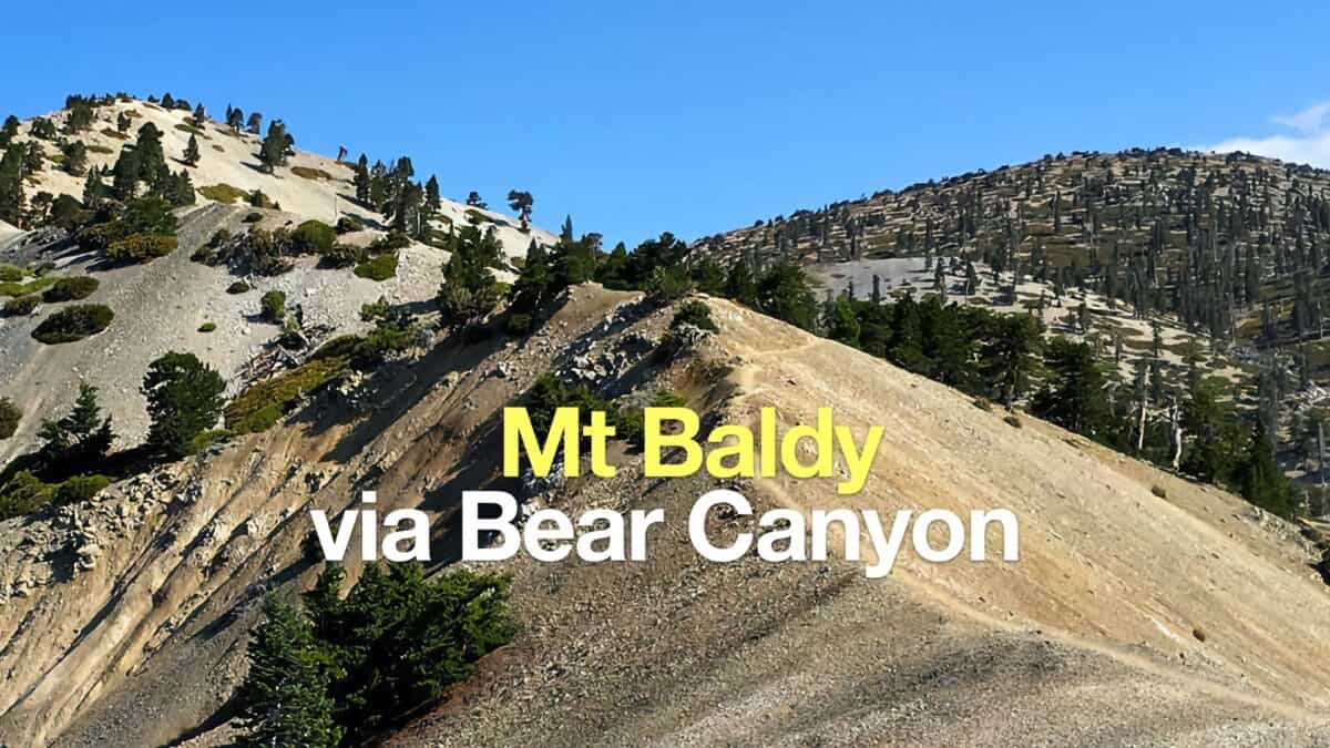 Hike Mt Baldy on the Bear Canyon Trail
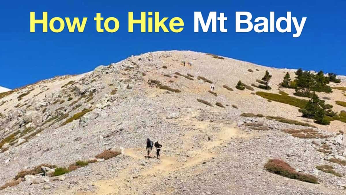 Mt Baldy Hike
 Cucamonga Peak Hike
 Los Angeles Hikes
 Angeles National Forest Hikes
 LA Mountain Hikes
 San Gabriel Mountains National Monument Hiking
 Sierra Club 100 Peaks
Popular Guides
 Best Hiking Gear 2024
 Hiking Boots or Shoes: Do I Really Need Hiking Boots?
 When to Hit SOS on inReach
This Guide Was Written by Cris Hazzard

Hi, I'm Cris Hazzard, aka Hiking Guy, a professional outdoors guide, hiking expert, and author based in Southern California. I created this website to share all the great hikes I do with everyone else out there. This site is different because it gives detailed directions that even the beginning hiker can follow. I also share what hiking gear works and doesn't so you don't waste money. I don't do sponsored or promoted content; I share only the gear recommendations, hikes, and tips that I would with my family and friends. If you like the website and YouTube channel, please support these free guides (I couldn't do it without folks like you!). You can stay up to date with my new guides by following me on YouTube, Instagram, or by subscribing to my monthly newsletter.