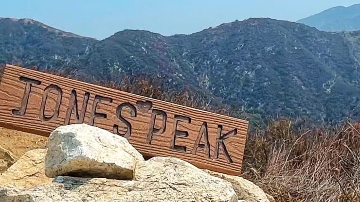

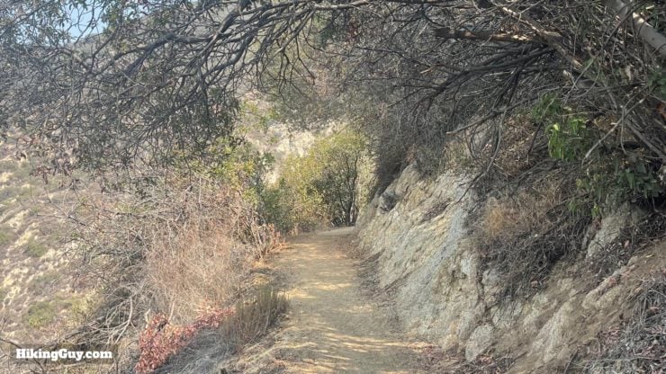
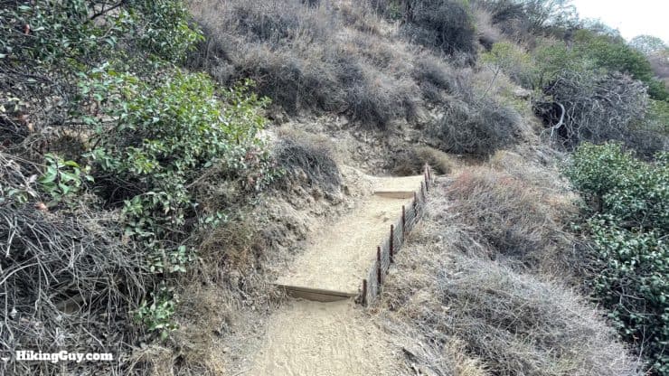
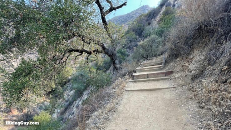
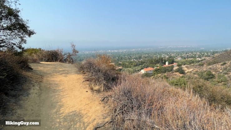
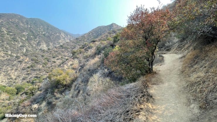
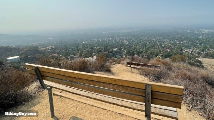
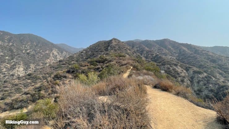
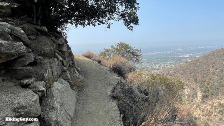
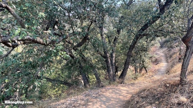
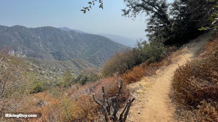
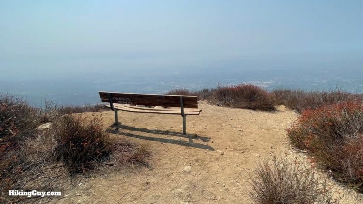
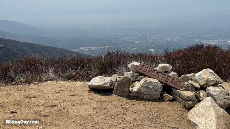
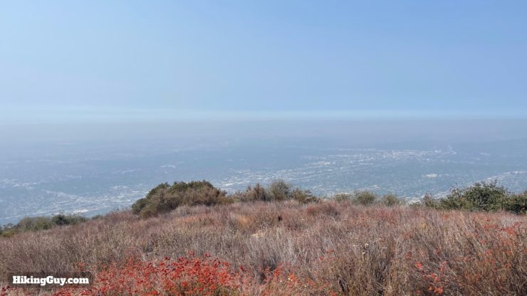
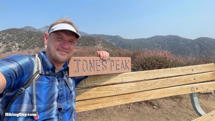
Don't let the shorter distance fool you; the hike to Jones Peak from the Bailey Canyon Trail is a tough one. The climb up through Bailey Canyon features steep canyon walls, sweeping views, and a well-maintained trail with many switchbacks. Along the way, there are ruins of a cabin in a lush gully, and then after some more switchbacks, you get to Jones Peak at 3375 feet. The peak offers panoramic views from Mt Wilson to Catalina. Overall it's a solid hike with a little bit of everything.
- Video and Turn-by-Turn Directions to Jones Peak
- How to Get to the Bailey Canyon Trail
- Insider Tips and Recommendations
Where is the Bailey Canyon Trail?
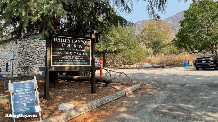
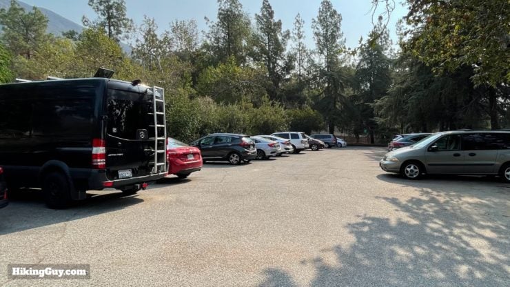
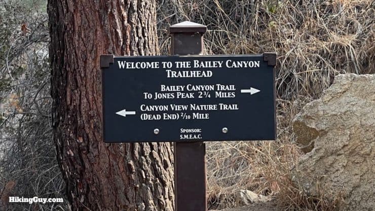
Parking is easy and free. There's a medium-sized lot at the Bailey Canyon Wilderness Park. Locals and dog walkers use the park–it can get crowded. If the lot is full, find a spot on the streets around the area that doesn't have "no parking" signs. Be respectful; this is a residential neighborhood. Use this trailhead address:
Bailey Canyon Wilderness Park, 451 W Carter Ave, Sierra Madre, CA 91024
Gear For the Hike
- I'd play it safe and bring 2L of water.
- You can get away with fitness clothing here or light hiking gear.
- I'd use trekking poles if you have them. They'll help on the steep slopes.
Gear That I Love Right Now
Nothing is sponsored or promoted, just the actual gear that I use.


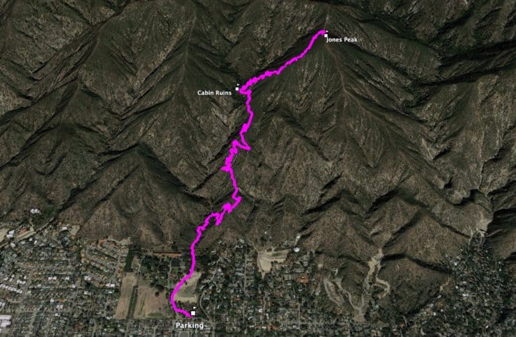
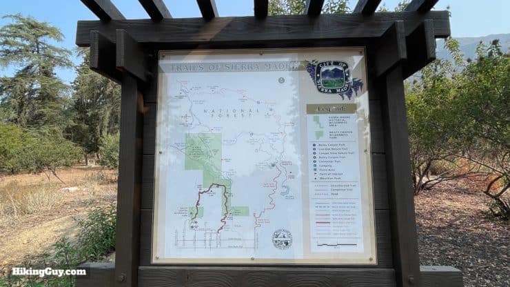
Jones Peak Trail Maps
How Will You Navigate?
 Using the Apple Watch for Hiking
 Garmin Fenix 7 & Epix Review For Hikers
 How To Read a Topographic Map
 Garmin GPSMAP 67i Review
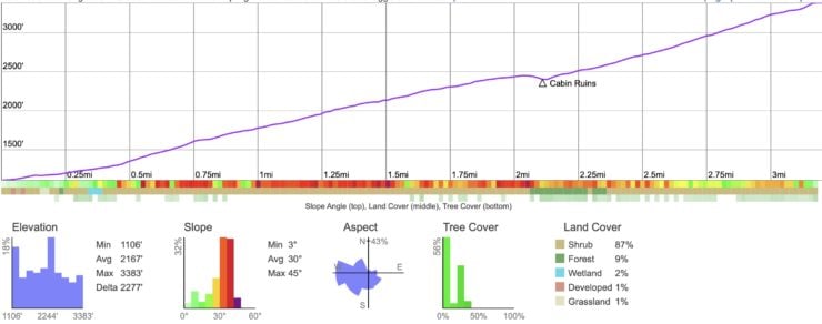
Elevation Profile
3D Map
Hike Brief
- Bailey Canyon, which you will ascend, was named after R.J. Bailey, who received a homestead from the U.S. Government here in 1875. It had a reputation for being a great place for animal trapping, and you can even read newspaper articles about the animals trapped there in early editions of the LA Times.
- The trail has an interesting story. Before 1969 there was no official Bailey Canyon Trail, and bushwhackers venturing up the canyon often had to be rescued by the Sierra Madre Search and Rescue Team. In stepped two youth organizations, largely comprised of the rescue team's children, the Sierra Madre Mountaineers and Sierra Madre Rangers. With the help of their parents, CA Parks, and the US Forest Service, they started building a trail to Jones Peak. They got as far as the cabin before work stopped in the early 70s. In the 1990s a $50,000 grant allowed the trail to continue to Jones Peak, and then on to the Mt Wilson Trail.
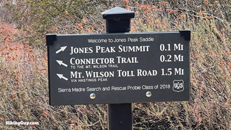
- Jones Peaks is not an official summit name in the USGS database, there are no survey markers there, and it's not named on USGS topographic maps. But thanks to a tip from Rob S. - the peak was (informally?) named after Sierra Madre's first mayor, C.W. Jones.
- The area that you are hiking through is recovering from the 1993 Kinneloa Fire. This is what regrowth looks like between then and now.
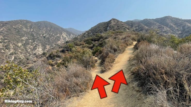
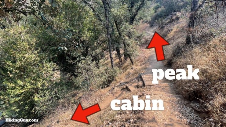
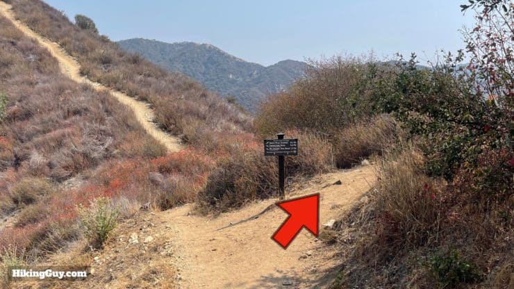
Jones Peak Hike Directions
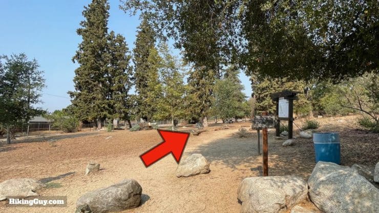
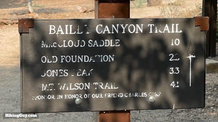
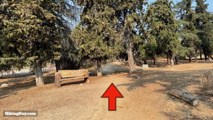
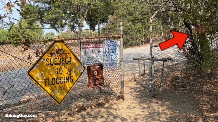
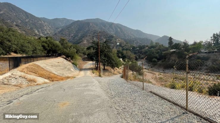
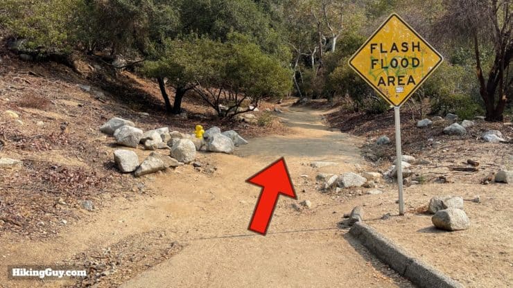
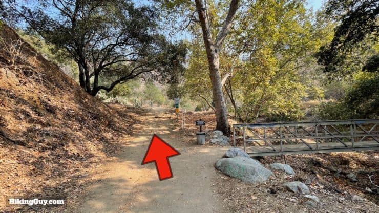
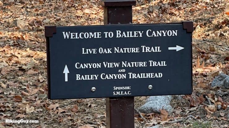
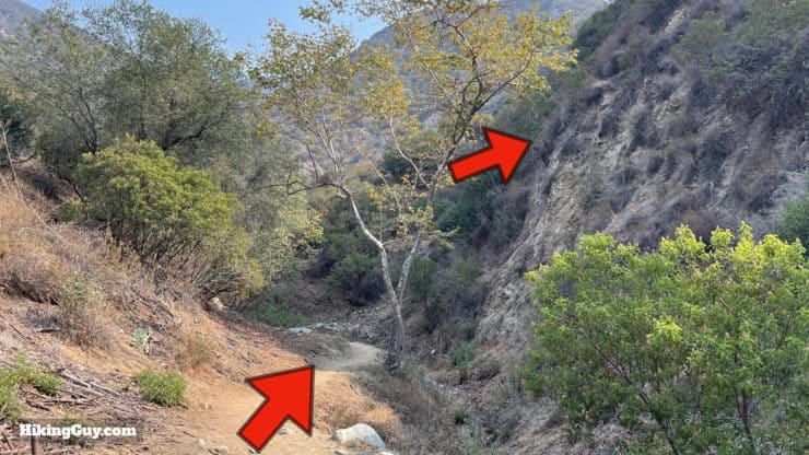
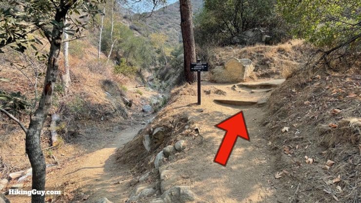
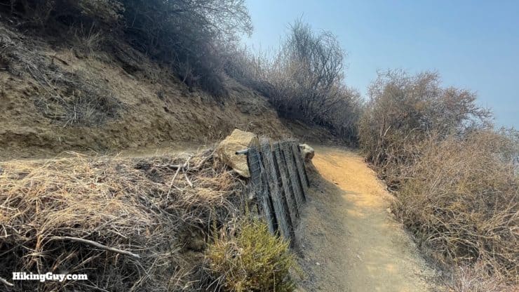
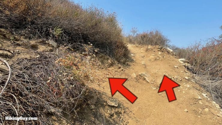
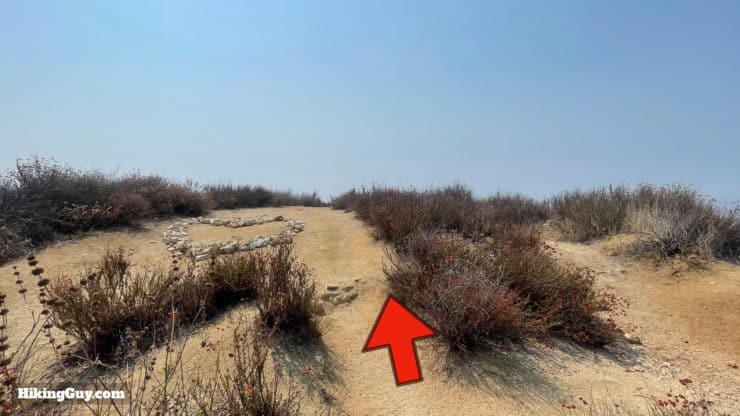
The trickiest part of the hike are the twists and turns in the beginning. The first few images below all occur in the first half-mile, between the parking lot and the Bailey Canyon Trail.
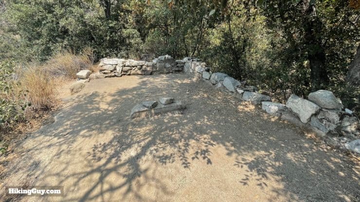
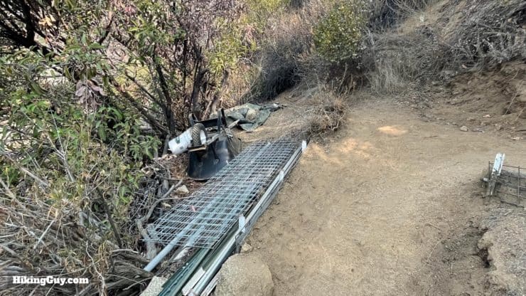
There used to be a strange historical marker here that mentioned someone with smallpox or something along those lines. I noticed it was gone. The real story behind the cabin ruins is this. In 1910, three college students built the cabins and used them until 1942, when the canyon was closed to the public and became an Army firing range. The cabins stood for years until (of course) they were vandalized until almost totally destroyed. You can see an earlier stage of this type of vandalism playing out at Beek's Place.
Need More Info?
- Have a question about the guide or want to see what other people are saying/asking? View the Youtube comments for this video. Leave a comment and I will do my best to respond.
- When planning, always check the park website and social media to make sure the trails are open. Similarly, check the weather and road conditions.
Related Guides
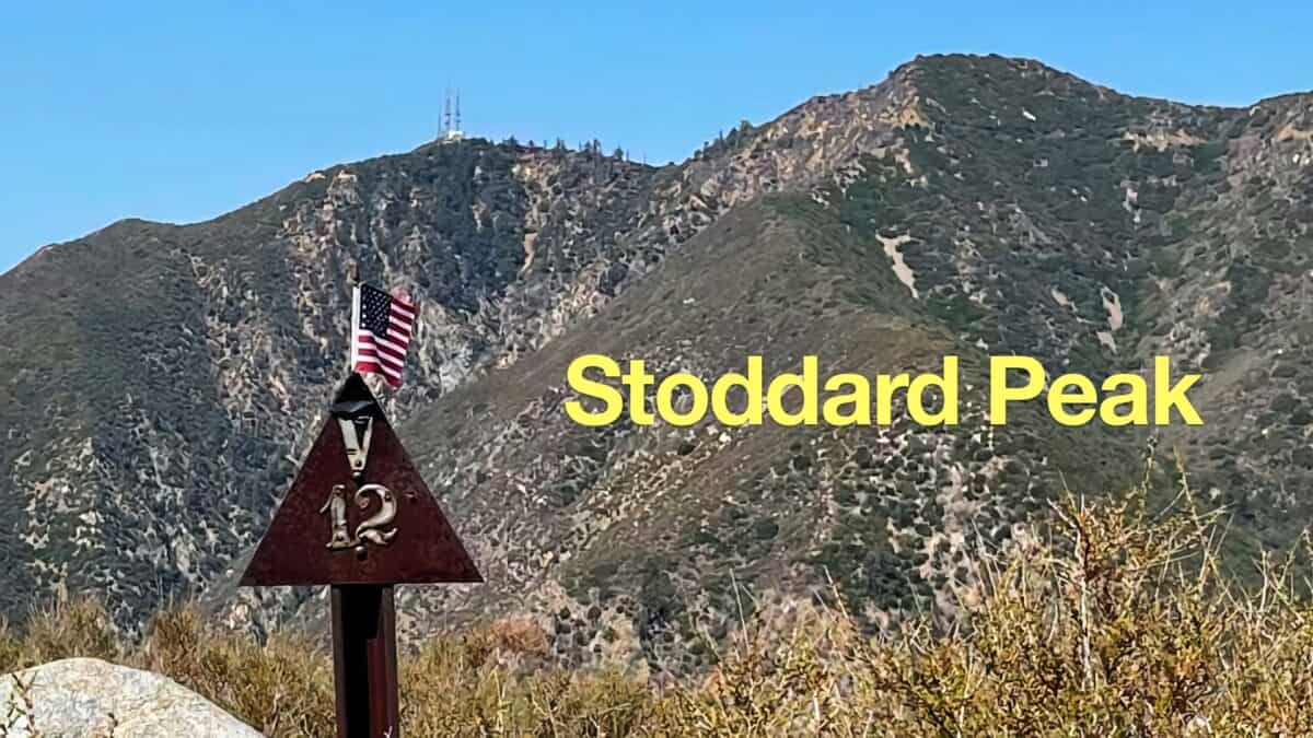 Stoddard Peak Hike
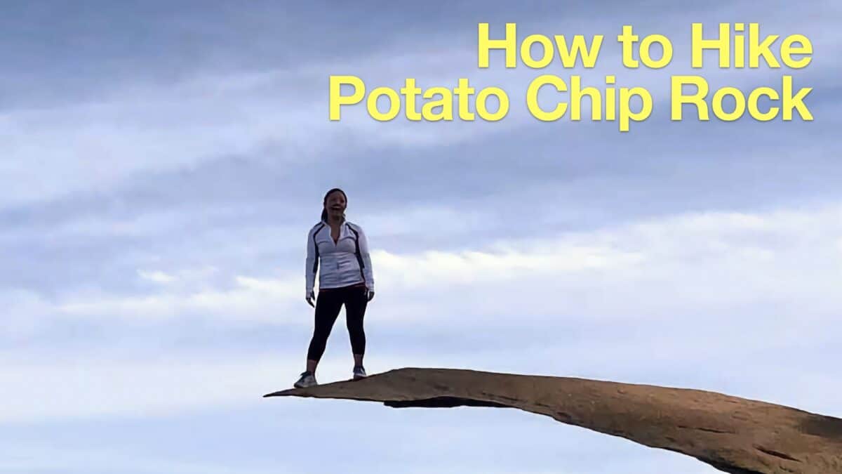 Potato Chip Rock Hike (San Diego)
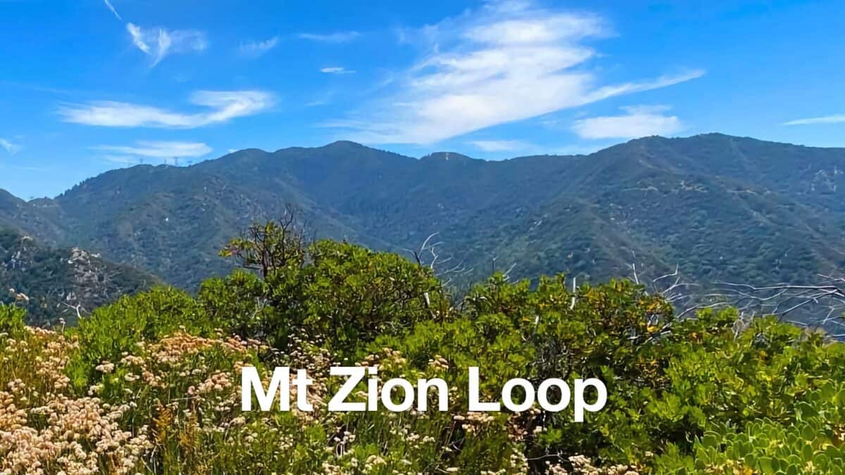 Mt Zion Loop Hike From Chantry Flat
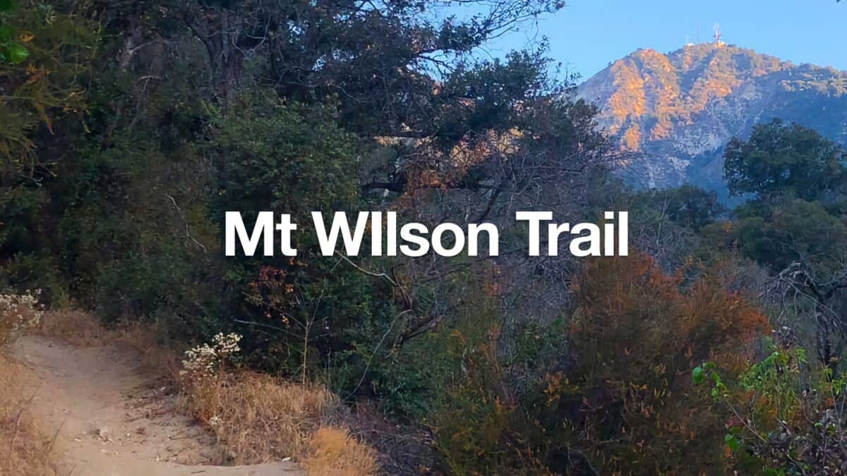 Mt Wilson Trail Hike
 Hike the Teepee Trail (La Cañada Flintridge)
 Los Angeles Hikes
 Angeles National Forest Hikes
 LA Mountain Hikes
 San Gabriel Mountains National Monument Hiking
Popular Guides
 Best Hiking Gear 2024
 Hiking Boots or Shoes: Do I Really Need Hiking Boots?
 When to Hit SOS on inReach
This Guide Was Written by Cris Hazzard

Hi, I'm Cris Hazzard, aka Hiking Guy, a professional outdoors guide, hiking expert, and author based in Southern California. I created this website to share all the great hikes I do with everyone else out there. This site is different because it gives detailed directions that even the beginning hiker can follow. I also share what hiking gear works and doesn't so you don't waste money. I don't do sponsored or promoted content; I share only the gear recommendations, hikes, and tips that I would with my family and friends. If you like the website and YouTube channel, please support these free guides (I couldn't do it without folks like you!). You can stay up to date with my new guides by following me on YouTube, Instagram, or by subscribing to my monthly newsletter.