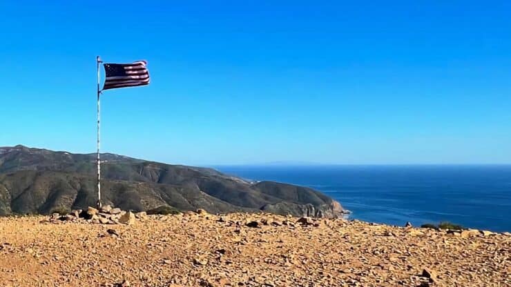

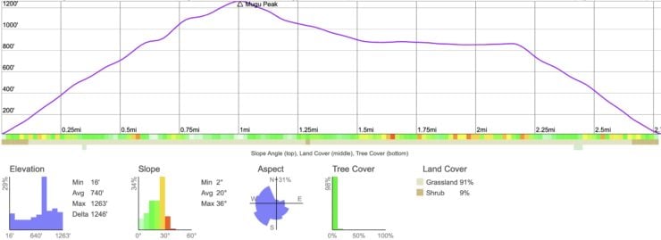
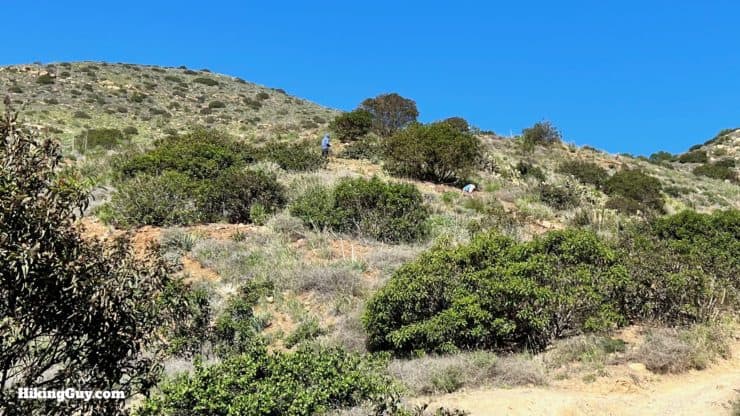
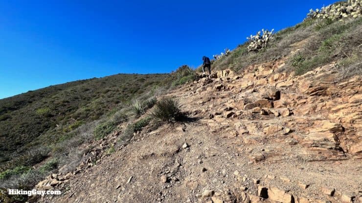
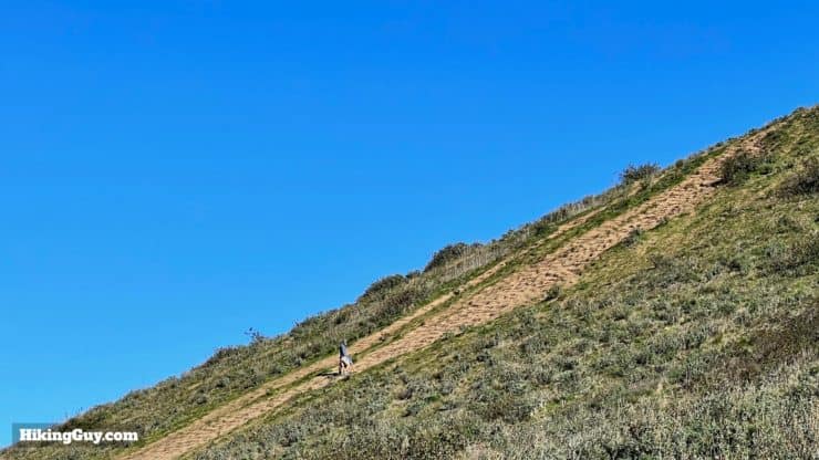
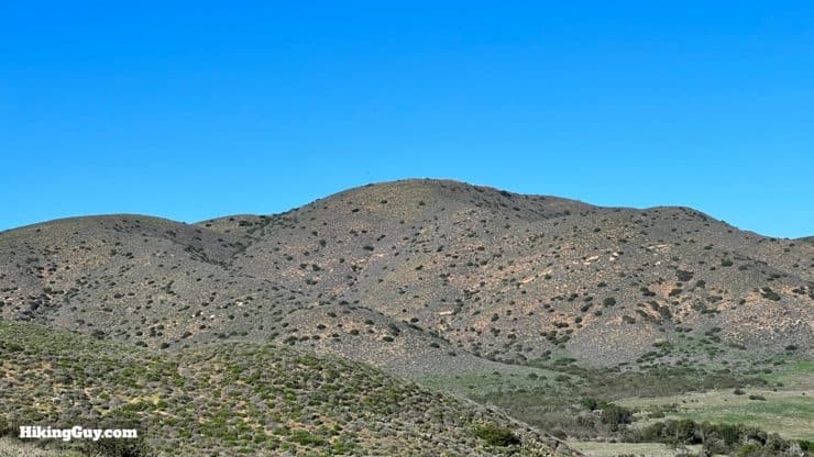
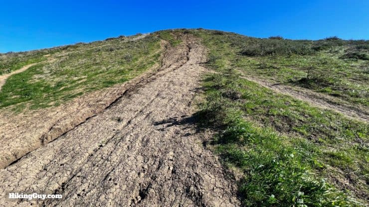
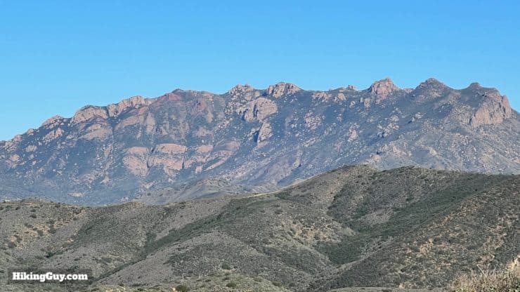
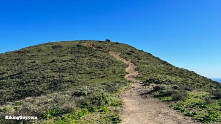
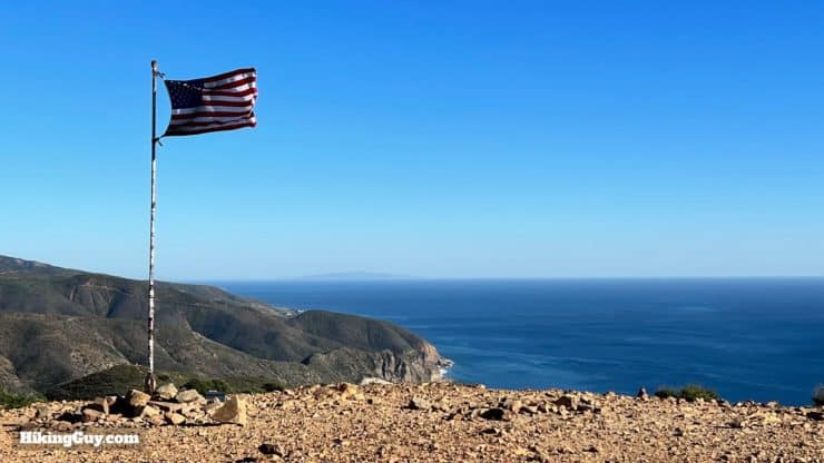
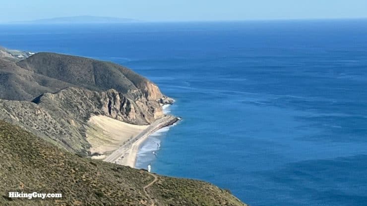
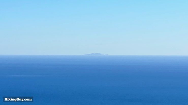
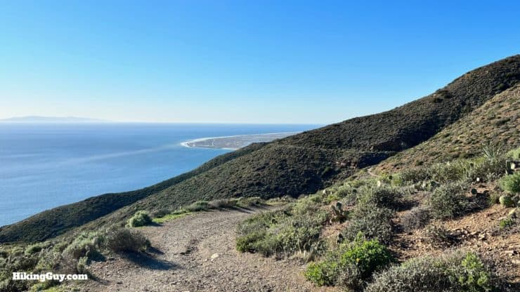
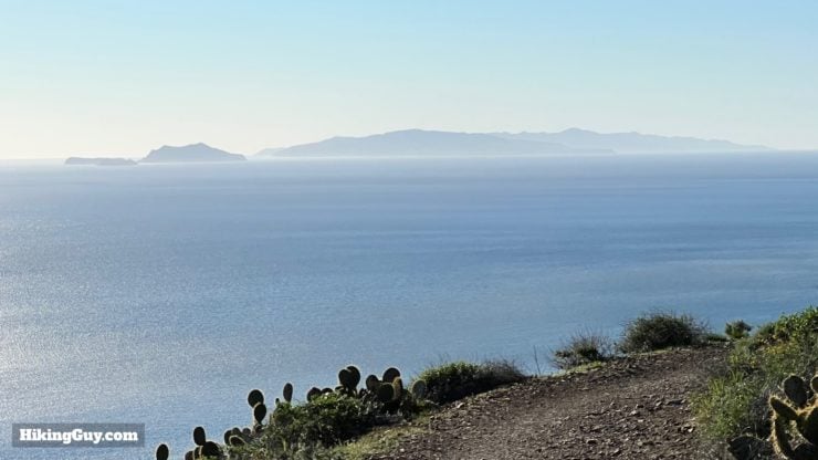
Don't let the short distance fool you; the hike up to Mugu Peak is challenging, climbing 1200 feet in about a mile. But with great effort comes a great reward, and the views from the summit of Mugu Peak are spectacular, from the high peaks of the Santa Monica Mountains to the Channel Islands. And while you're suffering on the climb, let your mind wander by thinking about the trail you are on, used by the native Chumash peoples for over 7,000 years. The Mugu Peak Trail is a fun adventure that's worth the effort.
- Video and Turn-by-Turn Directions to Hike the Mugu Peak Trail
- Where to Park for the Mugu Peak Trail
- Insider Tips & Recommendations
Where is Mugu Peak?
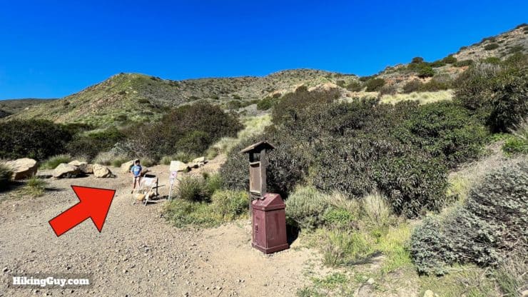
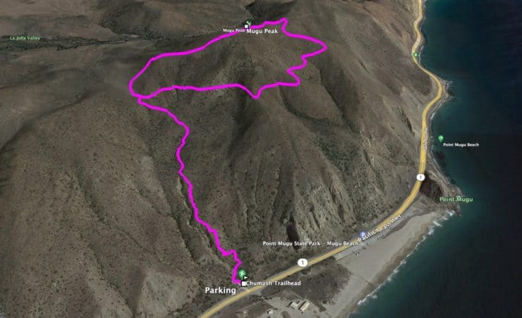
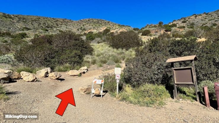
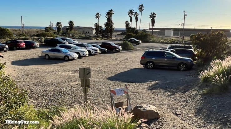
The trailhead for Mugu Peak, up the Chumash Trail, is right off the Pacific Coast Highway in Point Mugu State Park. The trailhead doesn't have any official parking area or park signage, so you have to keep your eyes open for it. Use these GPS addresses:
Chumash Trailhead, Malibu, CA 90265 or 34.09171787401509, -119.06571593445499
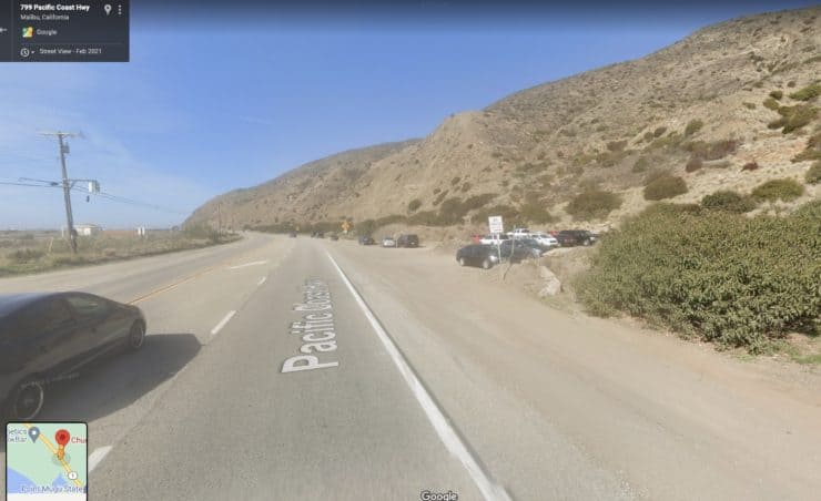
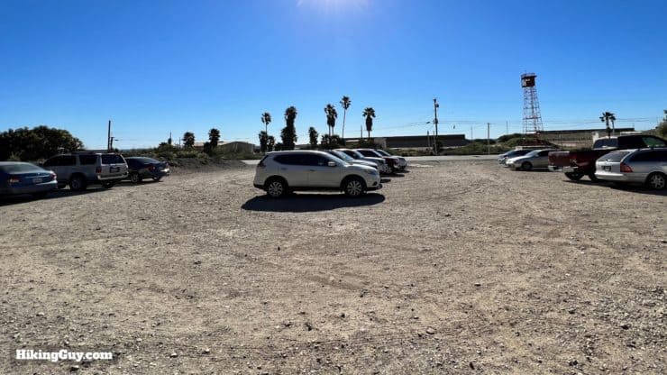
There is no parking pass needed here.
This hike is best done at sunrise or sunset when the crowds and temps are not too bad.
Gear For the Hike
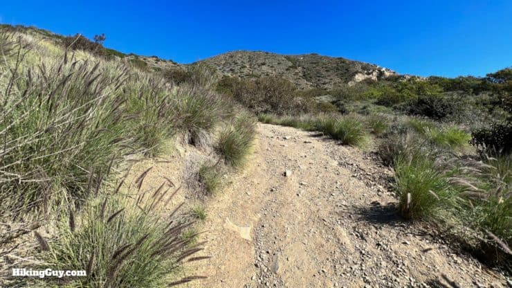
This isn't a long hike, and you are best served with light hiking gear or fitness clothes. You're going to want good footwear for the dirt and rocks, and trekking poles will be helpful on the steep slopes. The coastal weather is often variable, it can be foggy or clear depending on the winds and season.
Gear That I Love Right Now
Nothing is sponsored or promoted, just the actual gear that I use.


Mugu Peak Trail Maps
How Will You Navigate?
 Using the Apple Watch for Hiking
 Garmin Fenix 7 & Epix Review For Hikers
 How To Read a Topographic Map
 Garmin GPSMAP 67i Review
Elevation Profile
3D Map
Hike Brief
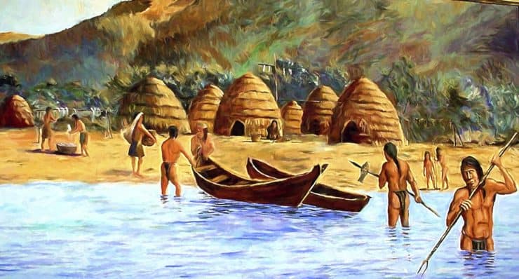
- The trail we'll take up the climb is called the Chumash Trail, named after the native peoples who originally lived here. It is believed that the Chumash used this trail as early as 7,000 years ago. It is the only (open and accessible) native trail in the Santa Monica Mountains.
- Mugu is named after the Chumash village Muwu, oncelocated by the trailhead. It was the largest coastal settlement in the area and is even noted by the Spanish explorer Juan Rodríguez Cabrillo in his 1542 journal. By the early 1800s the village was gone, a victim of western encroachment and expansion.
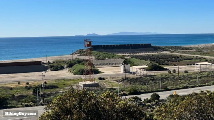
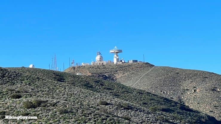
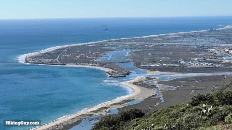
- It's not uncommon to see Naval aircraft flying in the area. North of the trail is Naval Base Ventura County, originally the major staging base for the Navy Seabees construction force during World War 2.
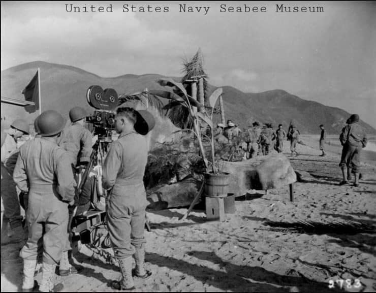
The 1943 movie "The Fighting Seabees," starring John Wayne, had some scenes shot here. Mugu Peak is in the background in this photo. Photo US Navy Seabee Museum.
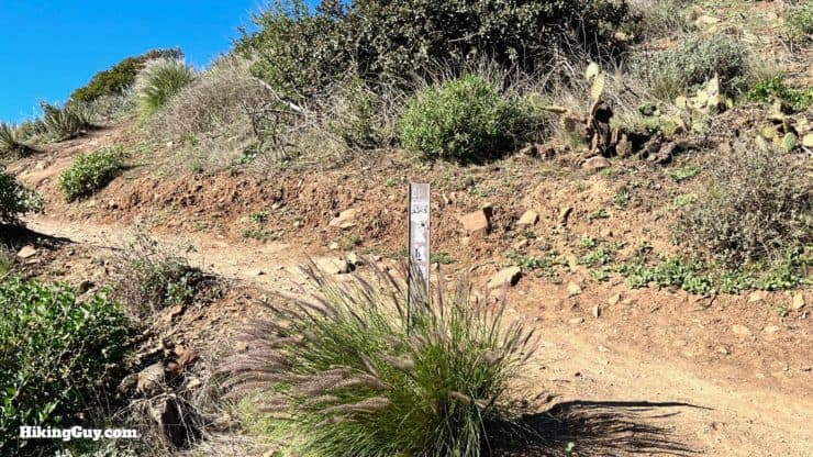
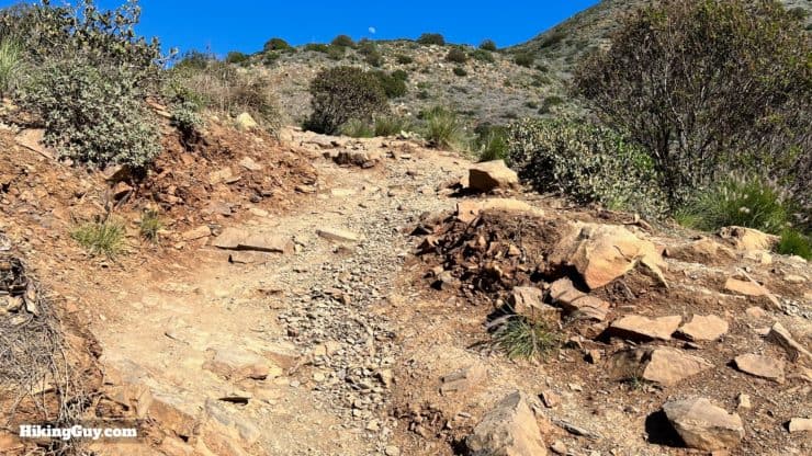
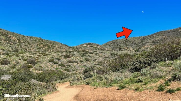
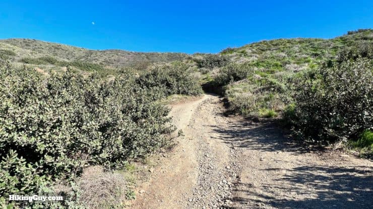
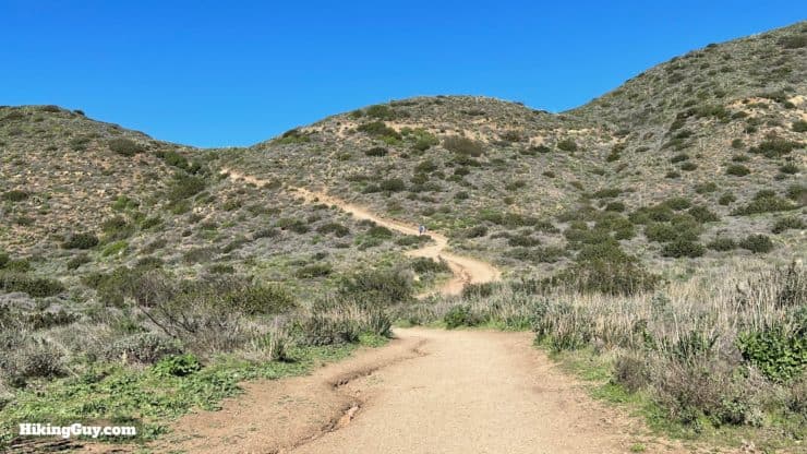
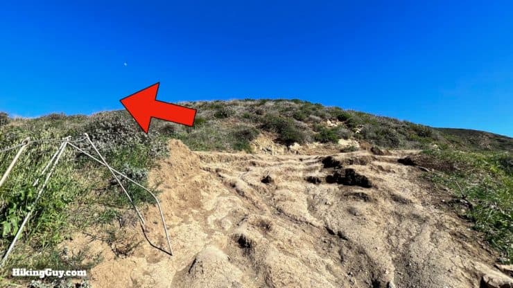
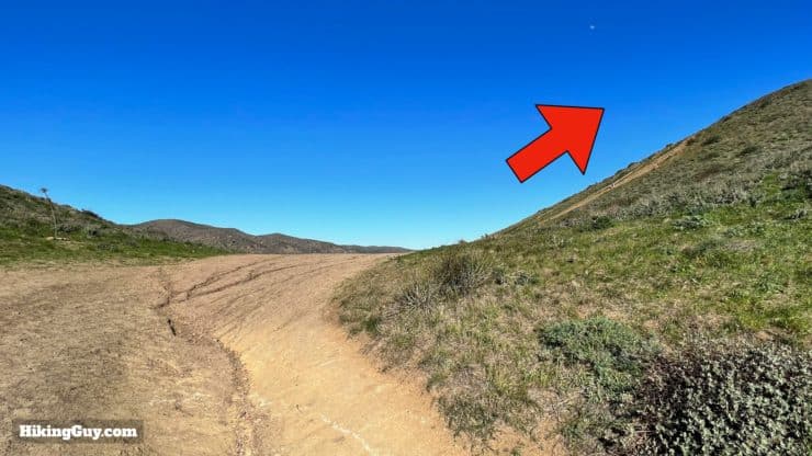
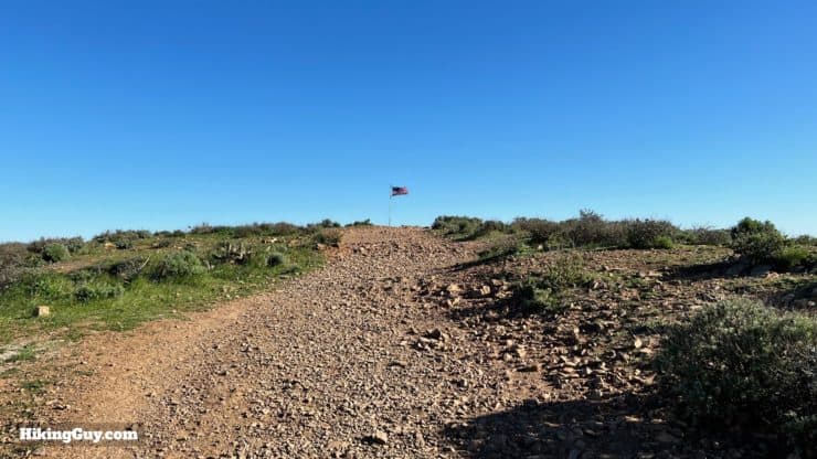
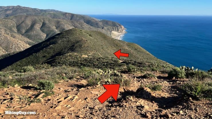
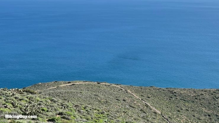
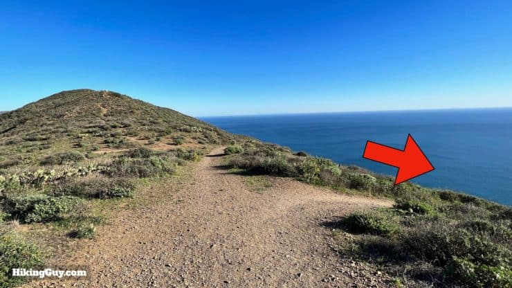
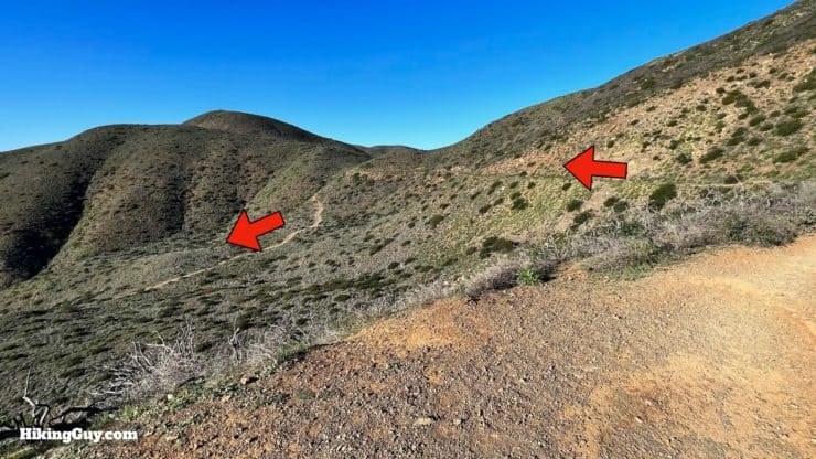
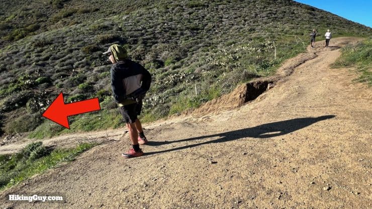
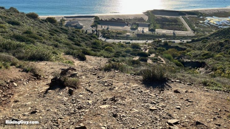
Mugu Peak Hike Directions

Need More Info?
- Have a question about the guide or want to see what other people are saying/asking? View the Youtube comments for this video. Leave a comment and I will do my best to respond.
- When planning, always check the park website and social media to make sure the trails are open. Similarly, check the weather and road conditions.
Related Guides
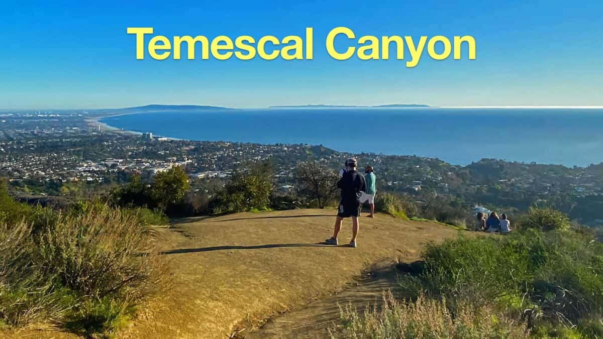 Temescal Canyon Hike
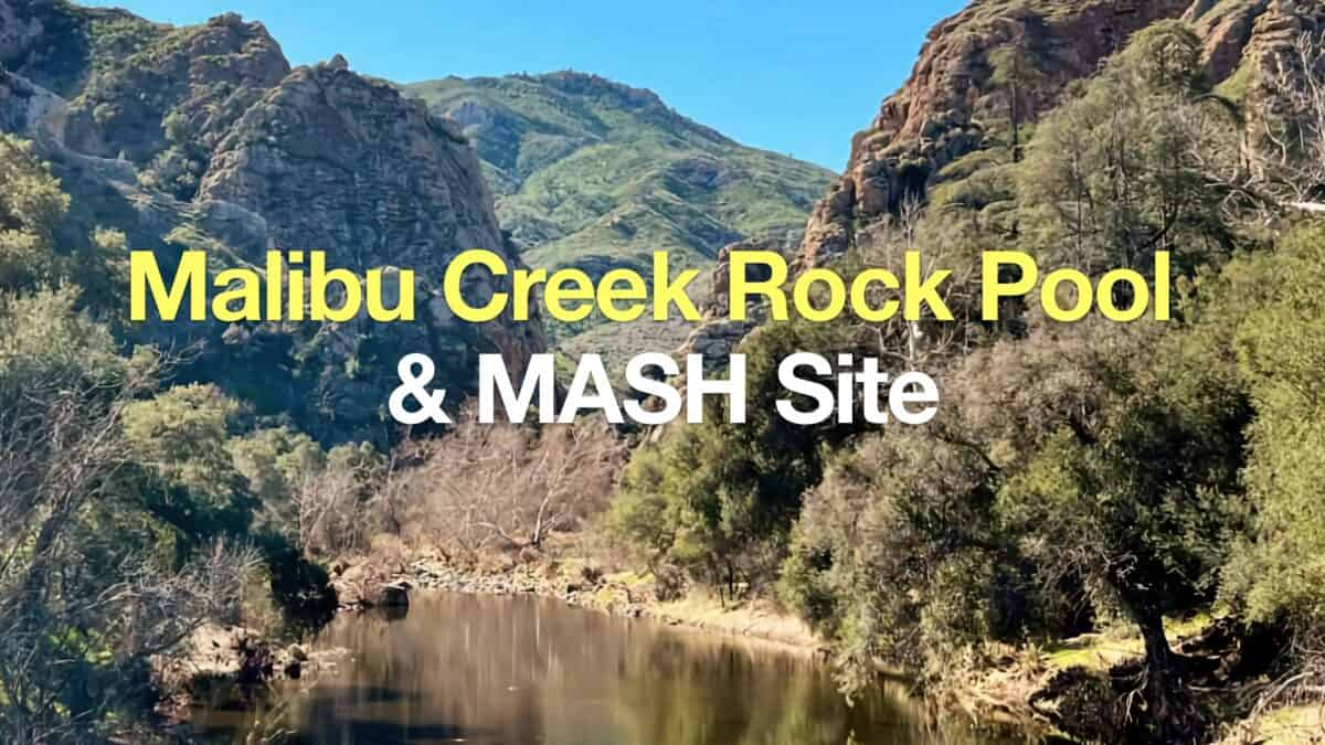 Hike Malibu Creek Rock Pool + MASH Site
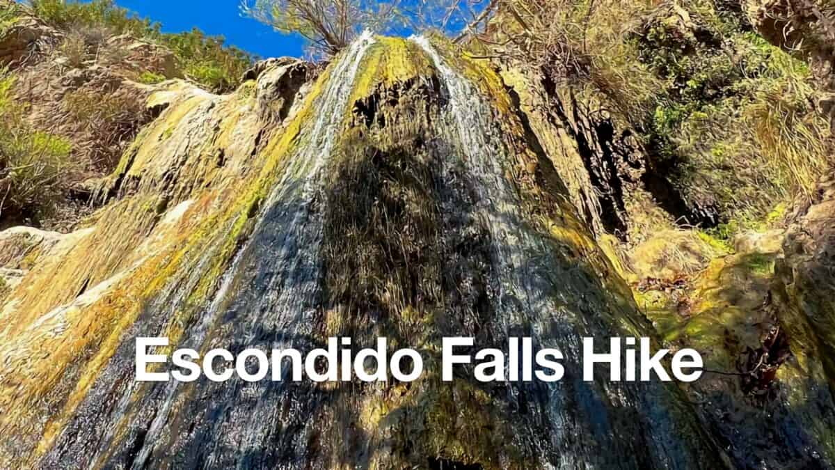 Escondido Falls Hike
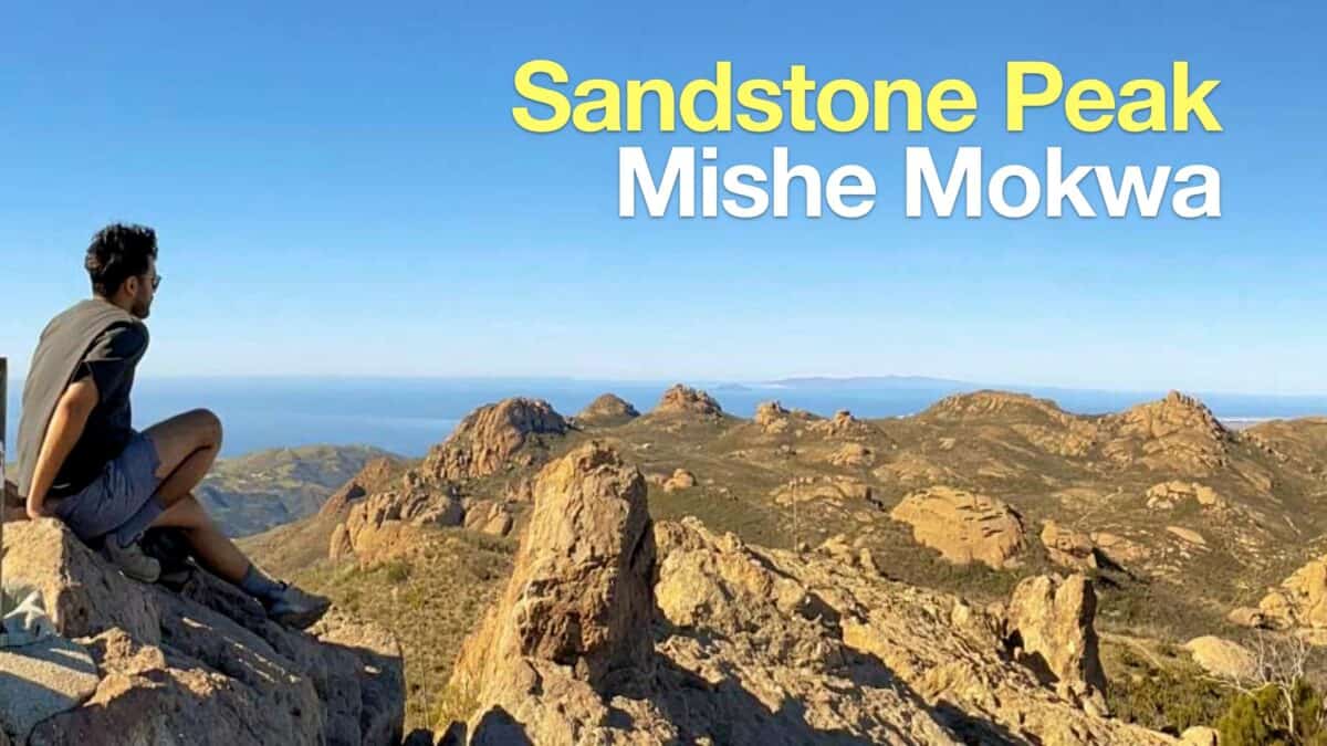 Hike Sandstone Peak on the Mishe Mokwa Trail
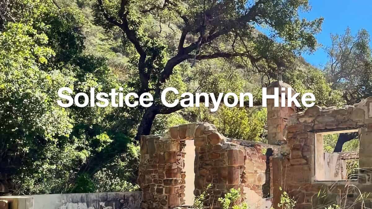 Solstice Canyon Hike
 Los Angeles Hikes
 LA Mountain Hikes
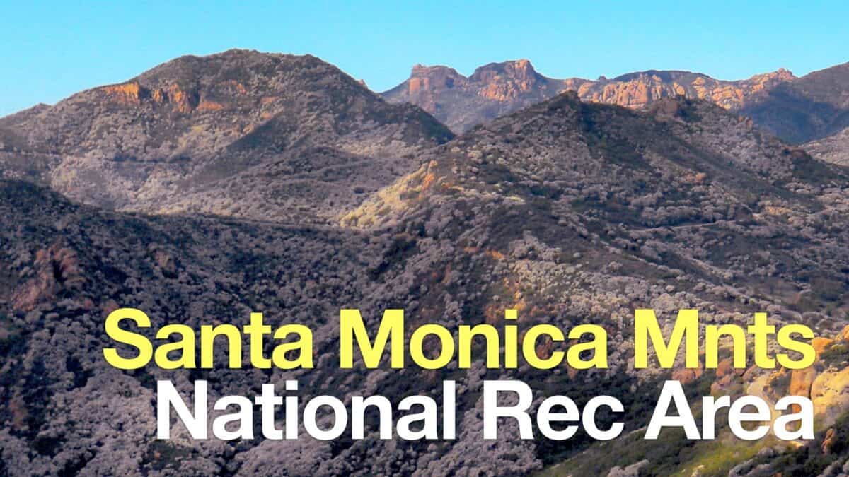 Santa Monica Mountains National Recreation Area Hikes
Popular Guides
 Best Hiking Gear 2024
 Hiking Boots or Shoes: Do I Really Need Hiking Boots?
 When to Hit SOS on inReach
This Guide Was Written by Cris Hazzard

Hi, I'm Cris Hazzard, aka Hiking Guy, a professional outdoors guide, hiking expert, and author based in Southern California. I created this website to share all the great hikes I do with everyone else out there. This site is different because it gives detailed directions that even the beginning hiker can follow. I also share what hiking gear works and doesn't so you don't waste money. I don't do sponsored or promoted content; I share only the gear recommendations, hikes, and tips that I would with my family and friends. If you like the website and YouTube channel, please support these free guides (I couldn't do it without folks like you!). You can stay up to date with my new guides by following me on YouTube, Instagram, or by subscribing to my monthly newsletter.