If you want to get off the beaten path in Angeles National Forest, head over to the Pacifico Mountain hike. Pacifico Mountain, the highest peak in the northwestern part of the forest, offers unique views spanning from Mt Baldy to Los Padres National Forest to Nevada. There are several approaches to the summit of Pacifico Mountain, and we'll take what I think is the most scenic one up the Pacific Crest Trail (PCT). It's a great hike without big crowds.
In this Guide:
Video and Turn-by-Turn Directions to Hike Pacifico Mountain on the PCT
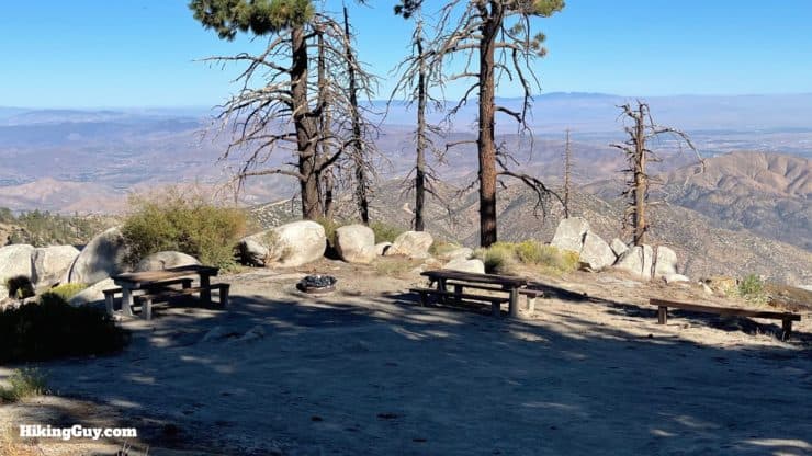
This hike offers some great short overnight camping options. It's especially great if you want to camp after work and get back in the morning, as the distances aren't long, and the climbing isn't bad. You can even drive your car to the summit (I'd recommend high-clearance AWD) and just camp.
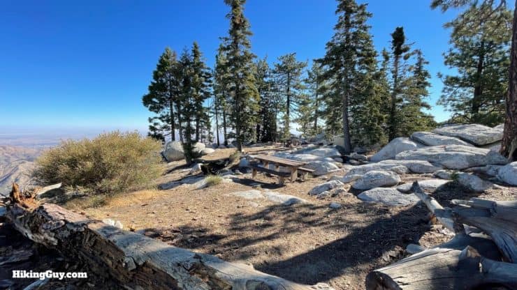
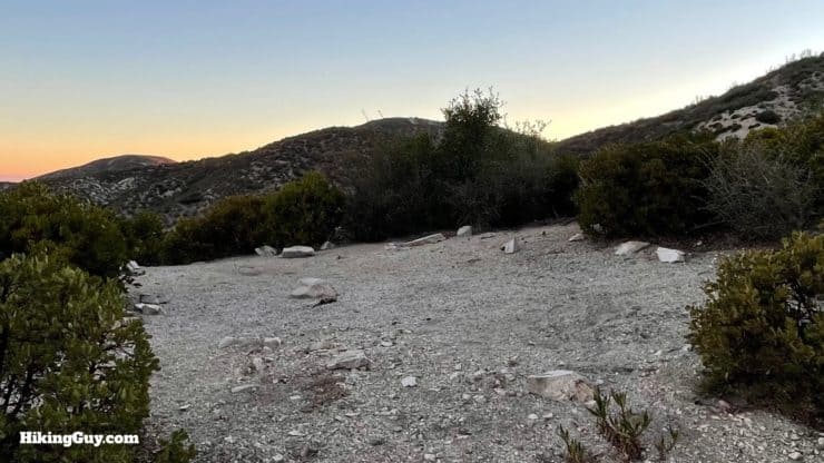
The summit area has several camp areas where you can pull a car up and get great views.There are also at least a dozen of flat PCT primitive tent sites along the trail. The best ones are when you get to the flat section along the ridge.
Pacifico Mountain Trail Maps
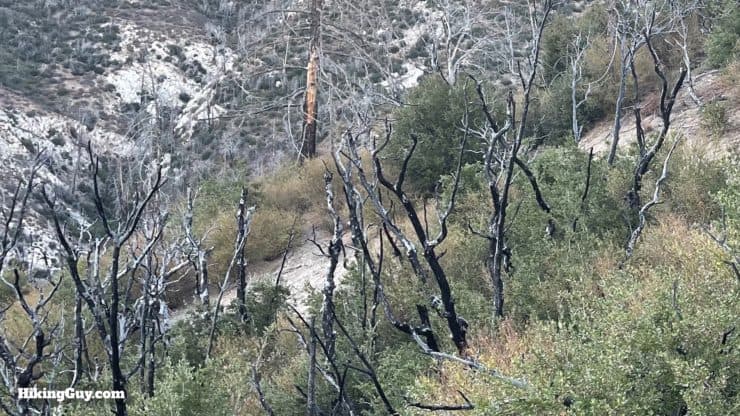
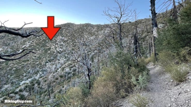
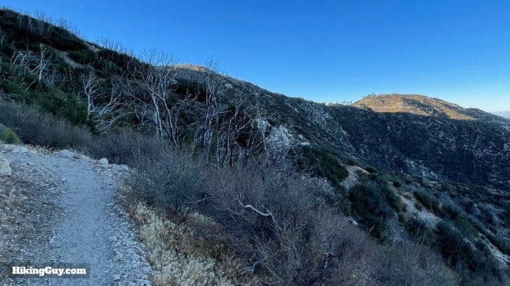
Much of the area along this hike was destroyed in the 2009 Station Fire, and you can still see evidence of it today.
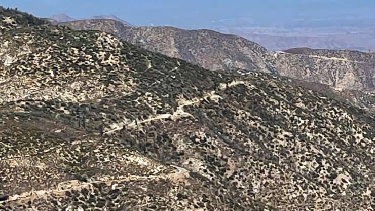
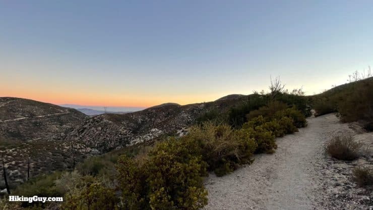
We will take the PCT from Mill Creek up to a saddle, and then do the last mile on a dirt road (with great views). There aren't a lot of twists and turns, and overall the gradient is gentle.
It's a gentle climb to about the mid-way point, where you get a flat breather along the ridgeline, and then do the final climb to the summit.
3D Map
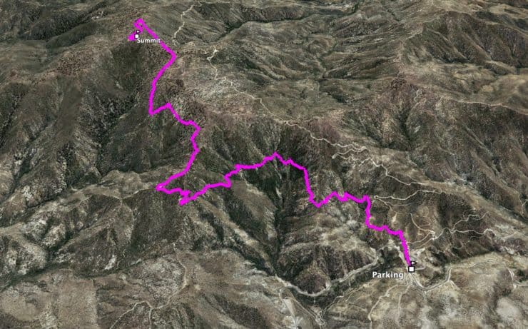
From Mill Creek, we ascend around the steep Tie Canyon, then up to the ridge where the views open up. From there we head along the spine to the summit.
Pacifico Mountain Hike Directions
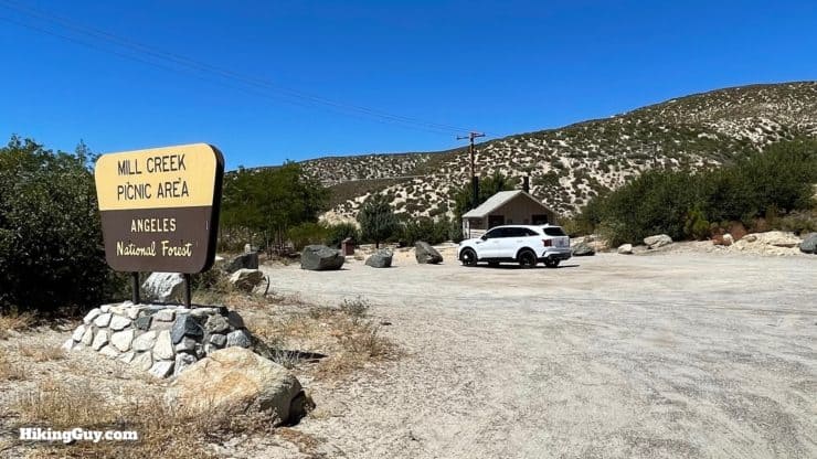
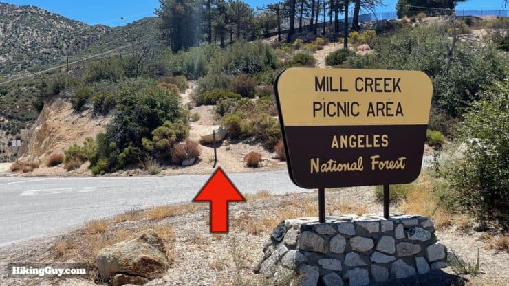
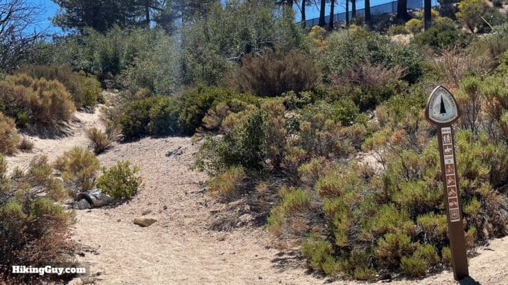
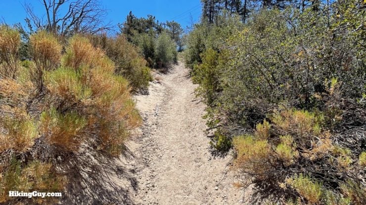
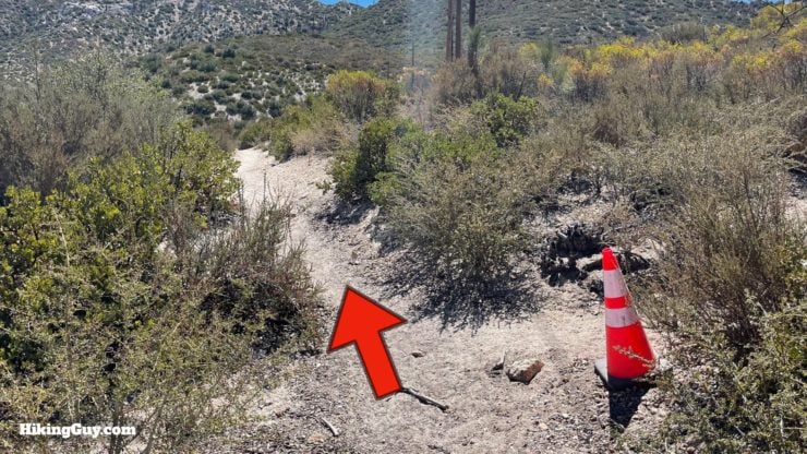
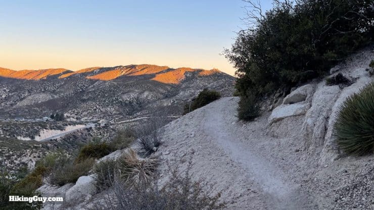
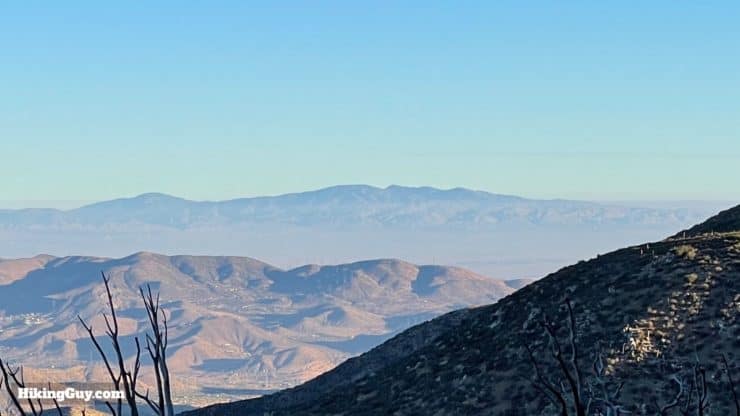
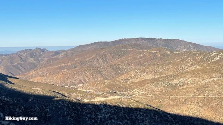
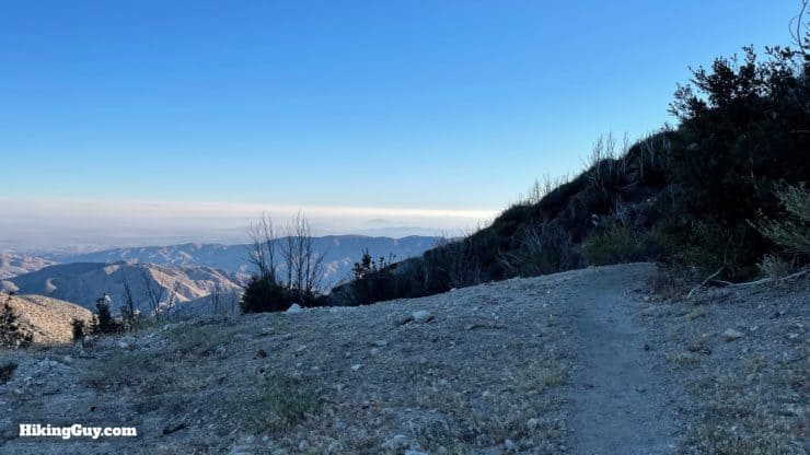
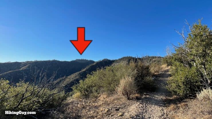
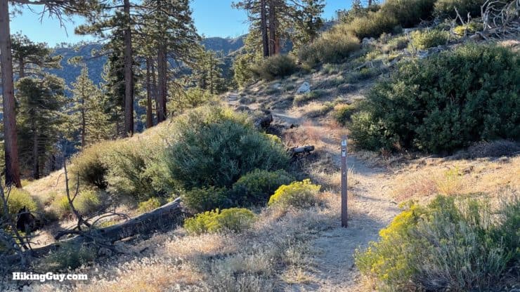
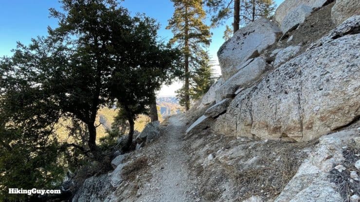
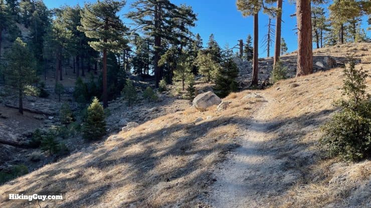
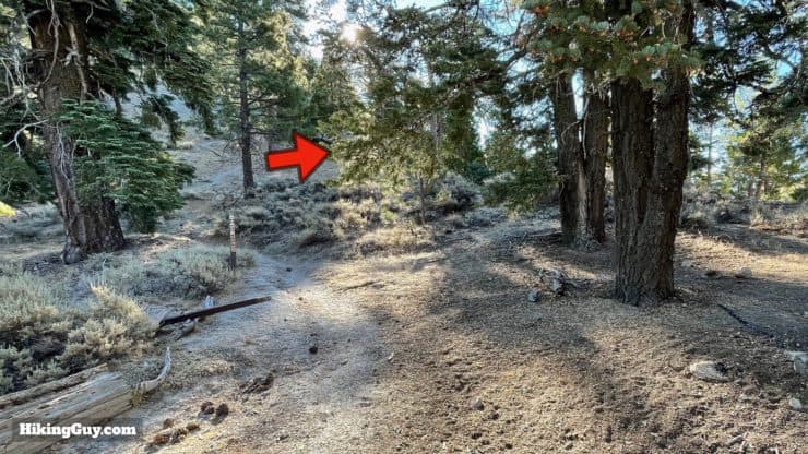
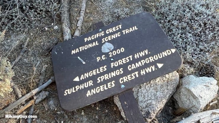
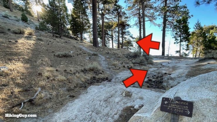
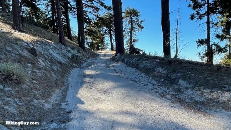
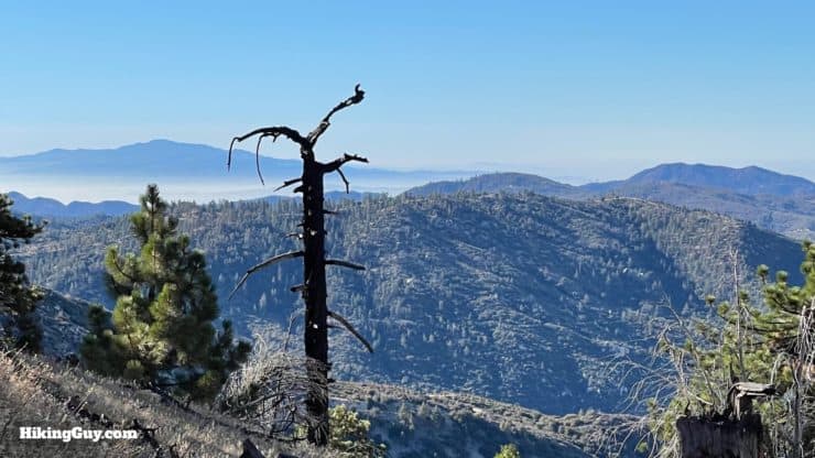
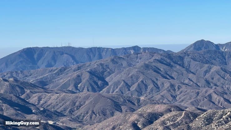
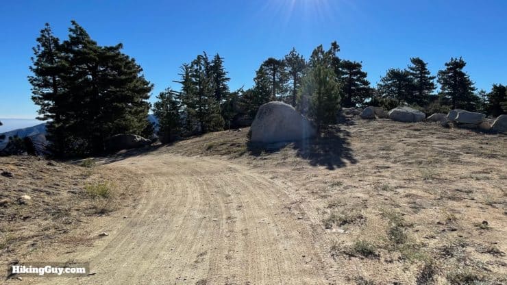
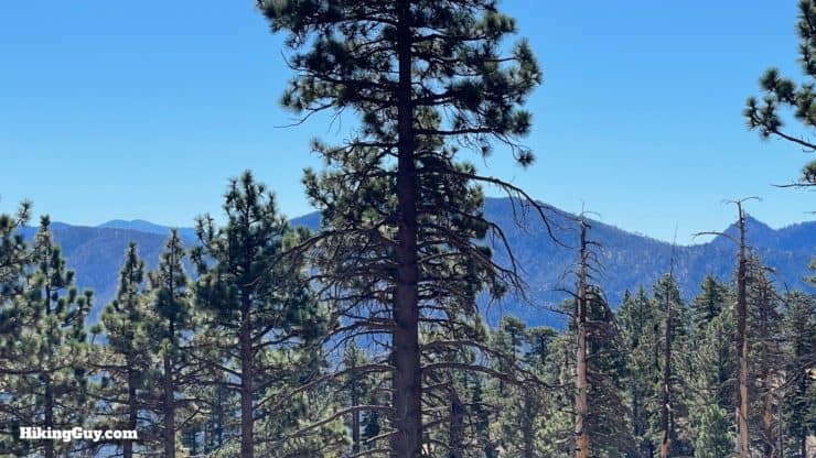
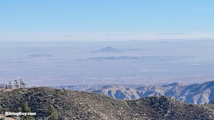
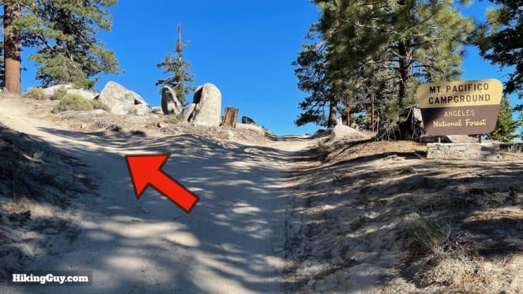
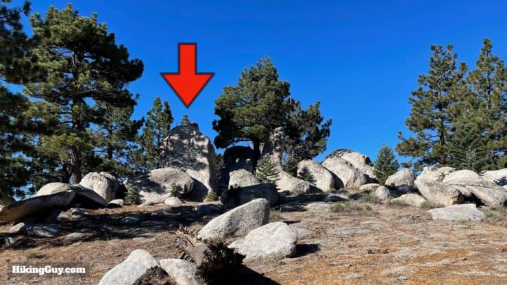
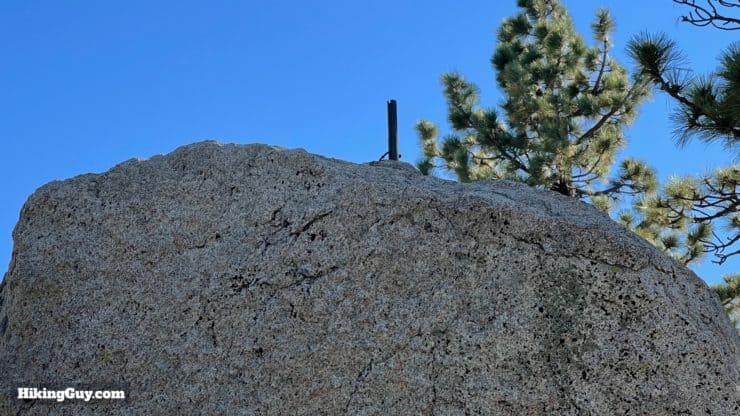
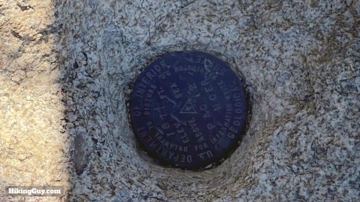
The trailhead is on the corner, across Pacifico Mountain Road.There's a nice big PCT marker at the start of the trail.The steepest part of the hike is right at the beginning, as the trail leaves the road.Avoid the small cutoff to the Pony Park equestrian trailhead and continue straight.Now we start the gradual climb.You'll wind around and along the folds on the side of the canyon. The views are great.As you wind into Tie Canyon, look up to see the trail continue above you.In the distance you'll be able to see the Tehachapi Mountains, which separate the Mojave from California's Central Valley to the north (Bakersfield, etc.).Once you get around Tie Canyon, the trail doubles back with some switchbacks. In front of you is Granite Mountain at 6603 feet.And back across the valley from where you started, you can see Mount Gleason, home to the (now closed) highest elevation Nike Missile site in the country at 6523 feet. The road to the summit is paved and you can drive up there.And then you crest the ridge, and can see north into the Mojave.The trail then levels out and heads east along the ridge. In the distance, Pacifico Mountain, which looks closer than it actually is. There are a few nice primitive camping spots along this stretch.You'll leave the scrub and enter the shade of some pines that survived the forest fires. Stay straight on the PCT.The trail is level here as it hugs the ridge.Eventually you'll approach the saddle where we are going to hop onto the road.At the saddle, we're going to continue through and make the right. The PCT heads off to the left.There's a sign here that needed some TLC during my visit.At the split, go right to the road. There's also use trail on the left that climbs steeply and directly to the summit, which we're not going to take. Head to the road.Now you're on the road for the last mile to the summit.And immediately the views open up. In the clouds on the left is Saddleback Mountain, and on the right Monrovia Peak.And then Mt Wilson, Mt Disappointment, and Strawberry Peak.The road winds around to the north past some informal campsites.Look back to your right as you turn north. You'll see views of (left to right) Mt Baldy,Mt Waterman and the Twin Peaks.And to the north you'll see into the Mojave. On a clear day you can even spot Mt Charleston, which is outside of Las Vegas.When you get to the campground sign, make the hard left to hit the summit.The summit area is this group of boulders. There are some use trails heading into it.You can climb to the top of the bigger boulders to reach the "top top."Or just check out the summit marker on the lower boulder.
Pacifico, which means peaceful, accurately describes the vibe up here. Some people think the peak is named Pacifico because you can sometimes see the ocean from here. Others speculate it was named by the bandit that the Zorro stories were based on, Tiburcio Vásquez, who had a hideout nearby at Sheep Springs.
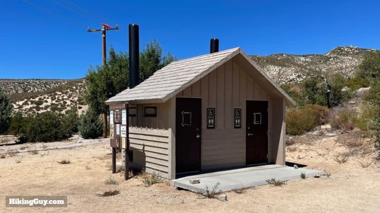
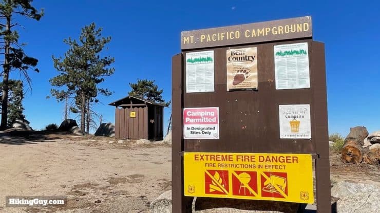
The views are okay from the summit boulders, but you'll want to visit the campsites around the permitter to enjoy better views.The campground has a toilet.Enjoy the summit, and then head back down the way you came up.
You can also make this a loop by taking the road back down, but I find the hike on the PCT to be much nicer.
Need More Info?
Have a question about the guide or want to see what other people are saying/asking? View the Youtube comments for this video. Leave a comment and I will do my best to respond.
When planning, always check the park website and social media to make sure the trails are open. Similarly, check the weather and road conditions.


 Using the Apple Watch for Hiking
 Garmin Fenix 7 & Epix Review For Hikers
 How To Read a Topographic Map
 Garmin GPSMAP 67i Review
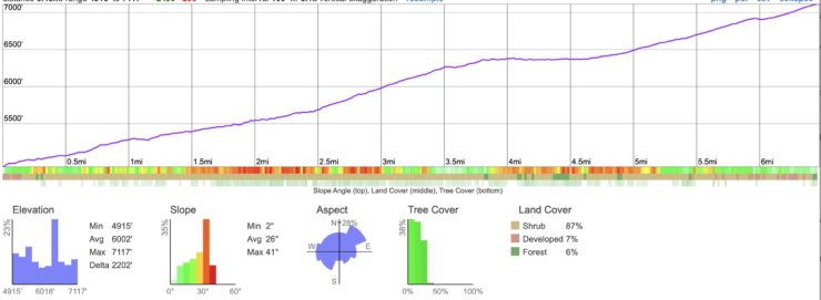
 Mt Hillyer Trail Hike
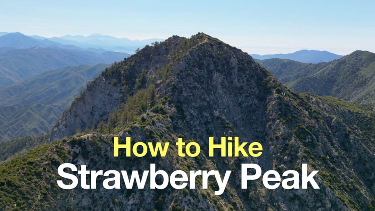 Strawberry Peak Hike
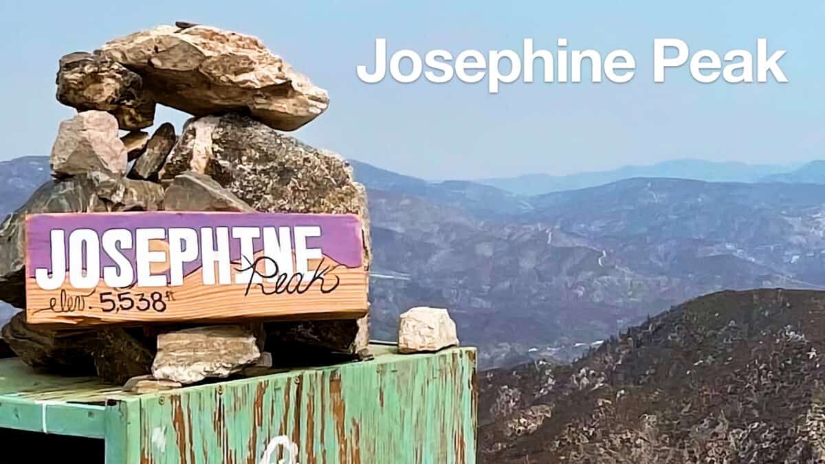 Hike Josephine Peak From Colby Canyon
 Los Angeles Hikes
 Angeles National Forest Hikes
 Backpacking Trips
 LA Mountain Hikes
 San Gabriel Mountains National Monument Hiking
 Sierra Club 100 Peaks
 Best Hiking Gear 2024
 Hiking Boots or Shoes: Do I Really Need Hiking Boots?
 When to Hit SOS on inReach