
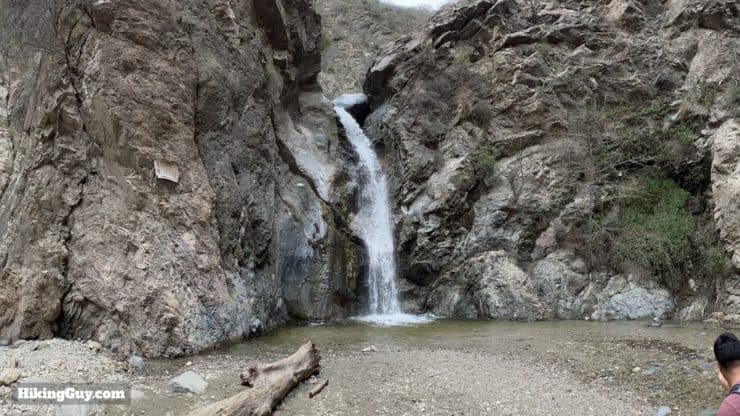
The hike to Eaton Canyon Falls is one of those LA classics you have to do at least once. Eaton Canyon and the falls are spectacular, one of the true gems of the San Gabriels. Even John Muir wrote about Eaton Canyon Falls's beauty. But its easily accessible location means that you'll find crowds here, and many people on the trail are not familiar with hiking etiquette. The best time to hike Eaton Canyon Falls is early on a weekday when the canyon is still peaceful, and the masses haven't yet arrived.
- Video and Turn-by-Turn Directions to Hike Eaton Canyon Falls
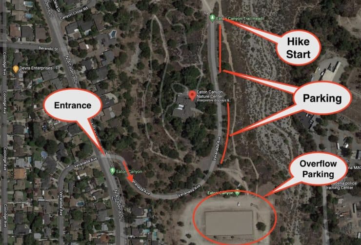
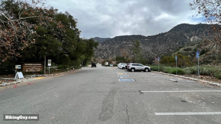
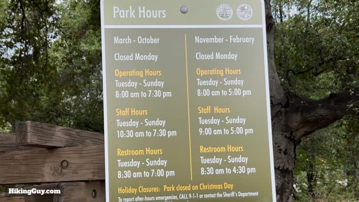
- Where to Park for Eaton Canyon Falls Trail
- Insider Tips & Recommendations
Where is Eaton Canyon Falls Trail?
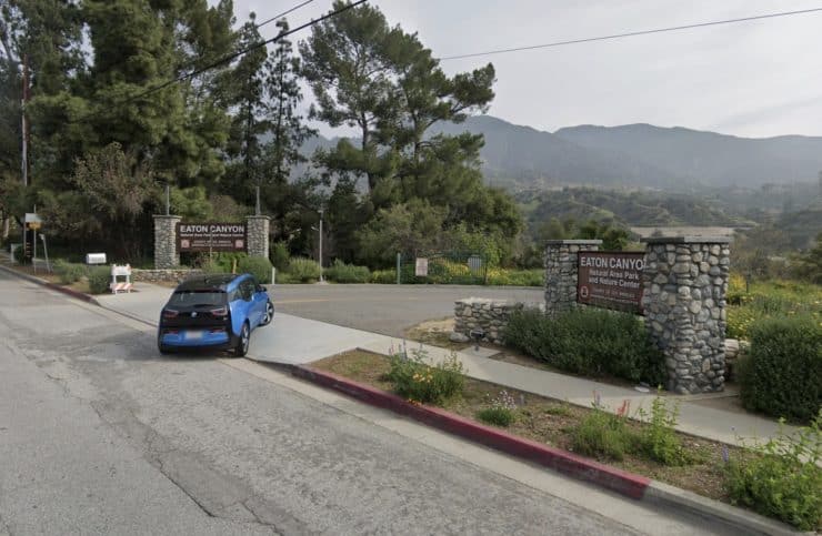
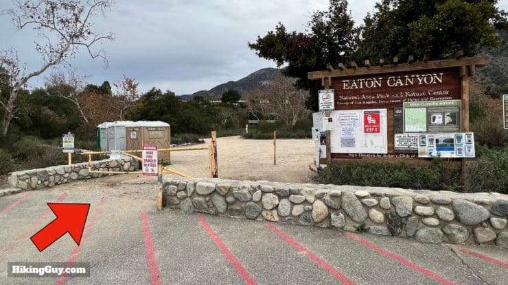
There are a few ways to get to Eaton Canyon Falls, but the main route starts from the Eaton Canyon Nature Center in Pasadena. Use this address:
Eaton Canyon Nature Center, 1750 N Altadena Dr, Pasadena, CA 91107
Gear For the Hike
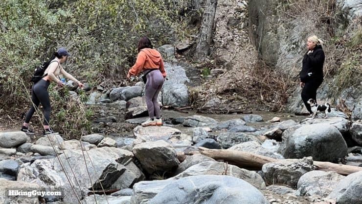
Your best bet on this hike is to wear fitness clothes or light hiking gear. You may have to scramble up and down some small rises, so be prepared to get your hands dirty. If you have trekking poles, they can be helpful on the stream crossings. Or, as I said earlier, get comfortable with getting your feet wet and plow through the stream crossings.
Gear That I Love Right Now
Nothing is sponsored or promoted, just the actual gear that I use.


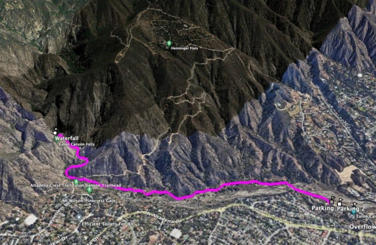
Eaton Canyon Falls Trail Maps
How Will You Navigate?
 Using the Apple Watch for Hiking
 Garmin Fenix 7 & Epix Review For Hikers
 How To Read a Topographic Map
 Garmin GPSMAP 67i Review
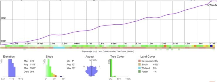
Elevation Profile
3D Map
Hike Brief
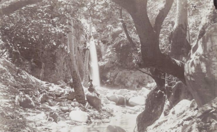
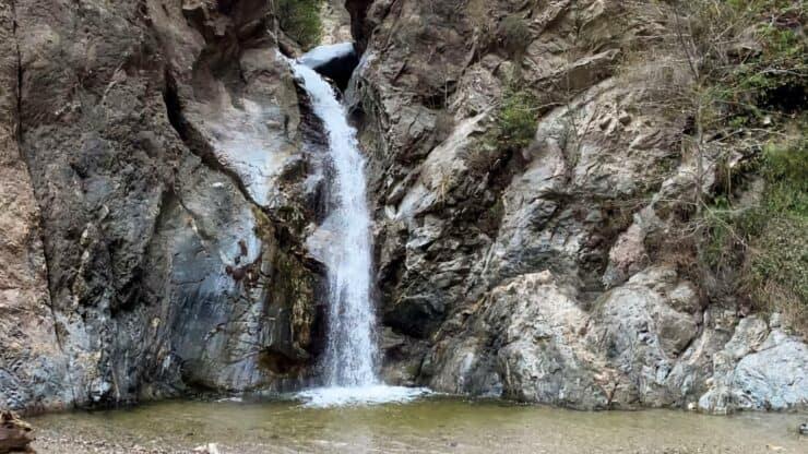
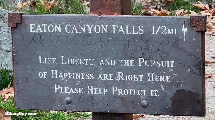
- Eaton Canyon Falls has long been a popular attraction. In 1877 John Muir wrote about it. "It is a charming little thing, with a low, sweet voice, singing like a bird, as it pours from a notch in a short ledge, some 35 or 40 feet into a round mirror-pool."
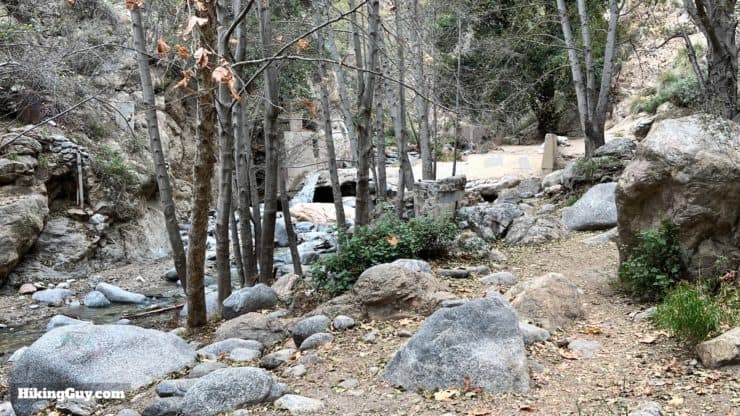
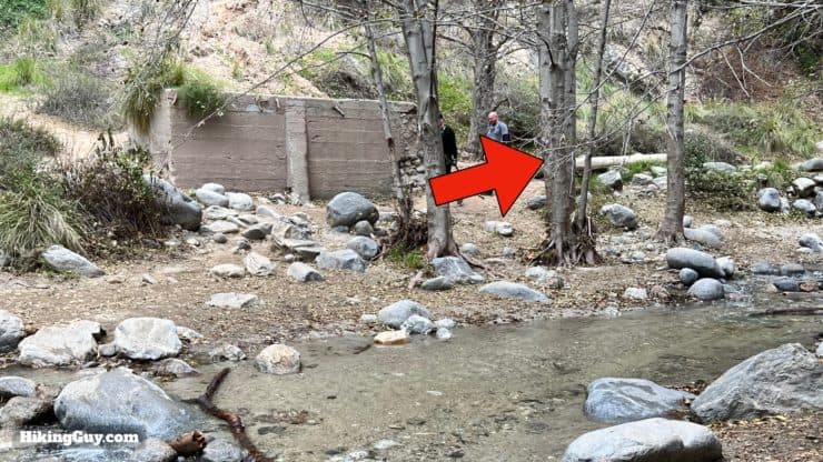
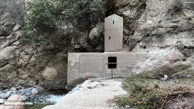
- You'll see some structures along the trail once you get into the canyon proper. Most were built to support what's known as "water mining" or gathering fresh water and supplying it to farms and ranches farther down toward Pasadena. The Precipice Canyon Water Company, named after the canyon's original name, El Precipio, was started here in 1887, and there were over 50 "water mines" in Eaton Canyon.
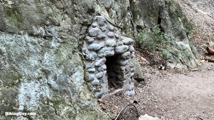
Here's one of the original "water mines" along the hike, although this mine tunnel has now been filled in. - If you've been here before and it looks noticeably cleaner, you can thank Edgar McGregor. He's spent hundreds of days cleaning up the trash around Eaton Canyon and other SoCal trails. Pitch in and pick up any trash you may see on the hike!
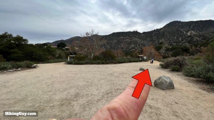
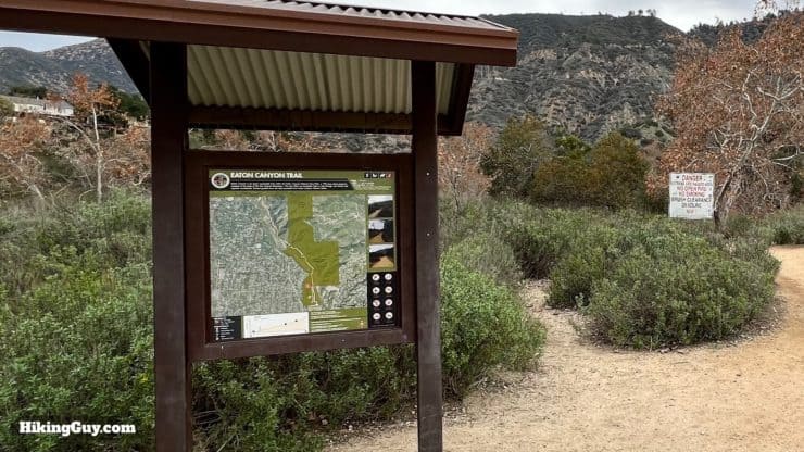
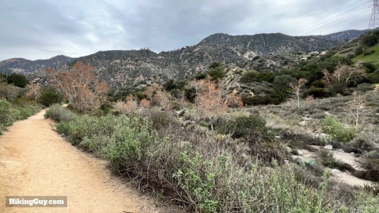
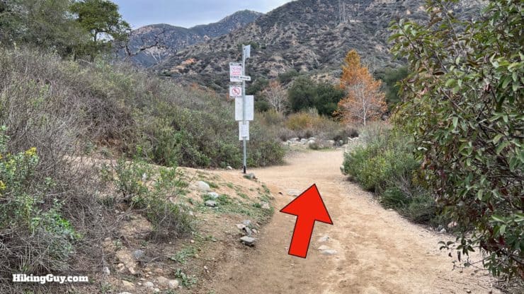
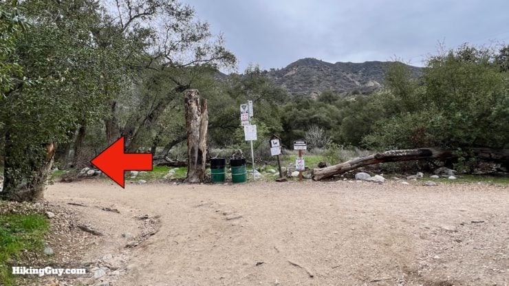
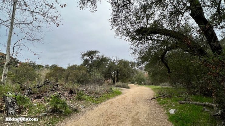
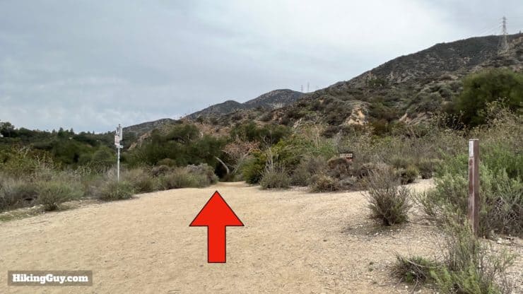
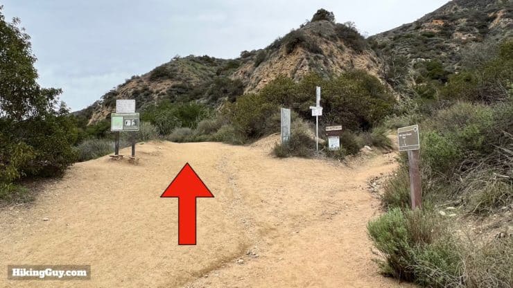
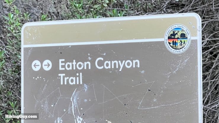
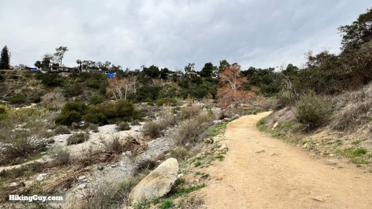
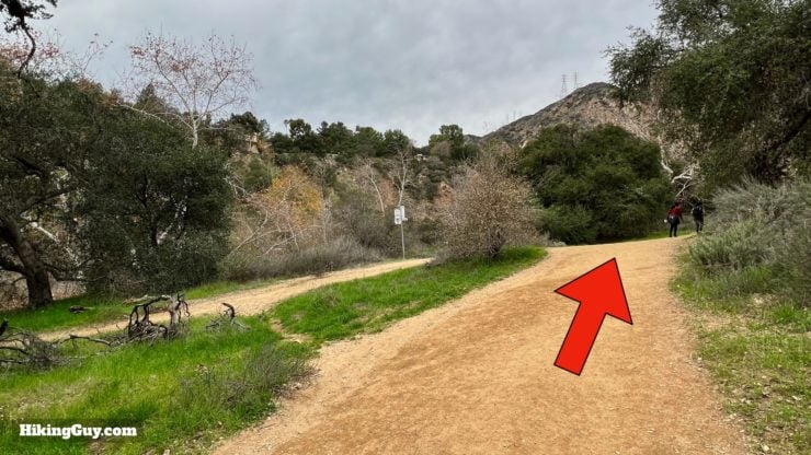
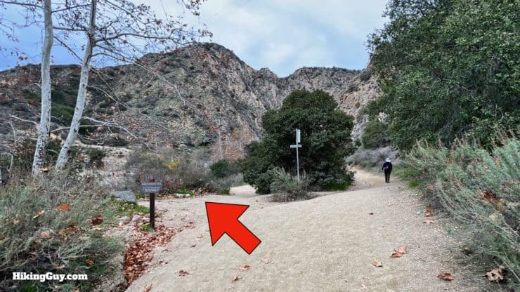
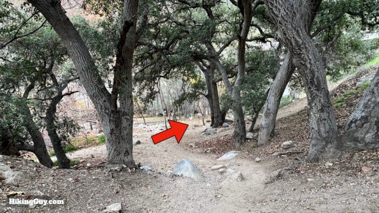
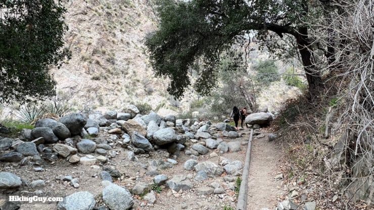
Eaton Canyon Falls Hike Directions
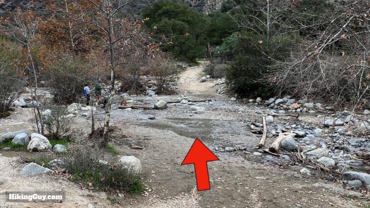
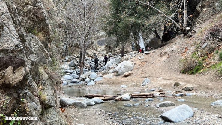
If there's a decent water flow at this crossing, chances are good that the falls will be flowing. In these times of extreme weather, the falls can dry up occasionally, especially in the summer and early fall.
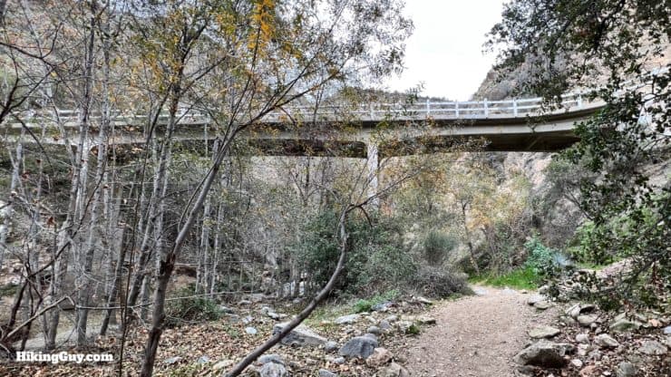
The original bridge here was wooden, and built for the Mount Wilson Toll Road Company. That bridge and a few others were washed away during flooding in Eaton Canyon. The bridge you see today was built after the flood in 1969. Today the bridge is known as the "Chuck Ballard Memorial Bridge," after the man who was a banker by day, and a badass member of the Altadena Mountain Rescue Team in his off time. Chuck Ballard served for more than 50 years with the rescue team and passed away in 2020.
From here, just turn around and return the same way that you came up!
Eaton Canyon Falls used to be known as LaBelle Cascade, named after Judge Benjamin Smith Eaton's daughter, who the canyon is named after.
Need More Info?
- Have a question about the guide or want to see what other people are saying/asking? View the Youtube comments for this video. Leave a comment and I will do my best to respond.
- When planning, always check the park website and social media to make sure the trails are open. Similarly, check the weather and road conditions.
Related Guides
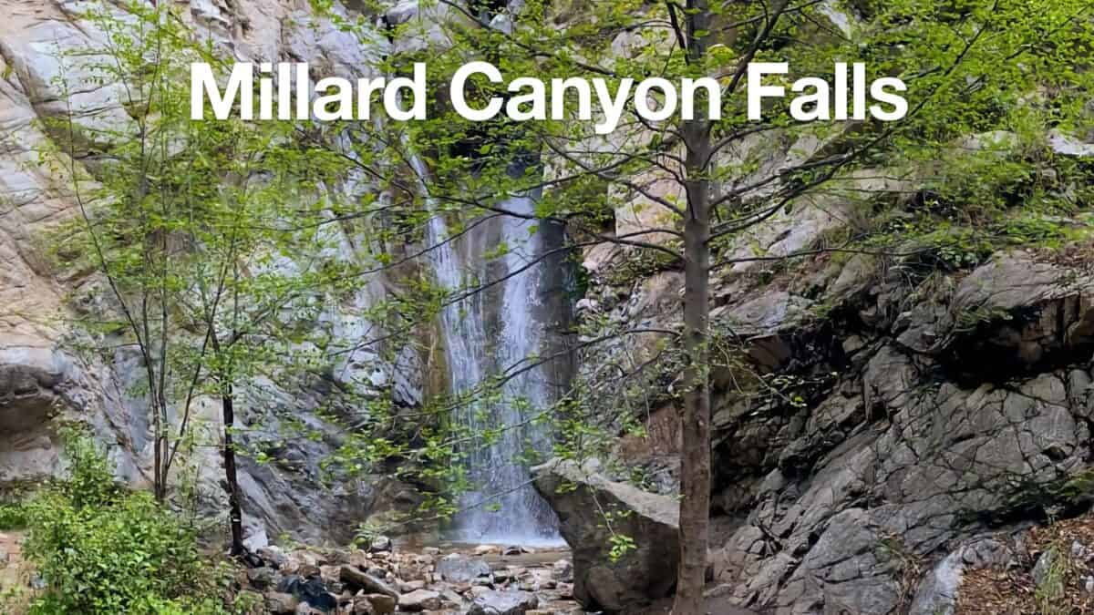 Millard Canyon Falls Hike
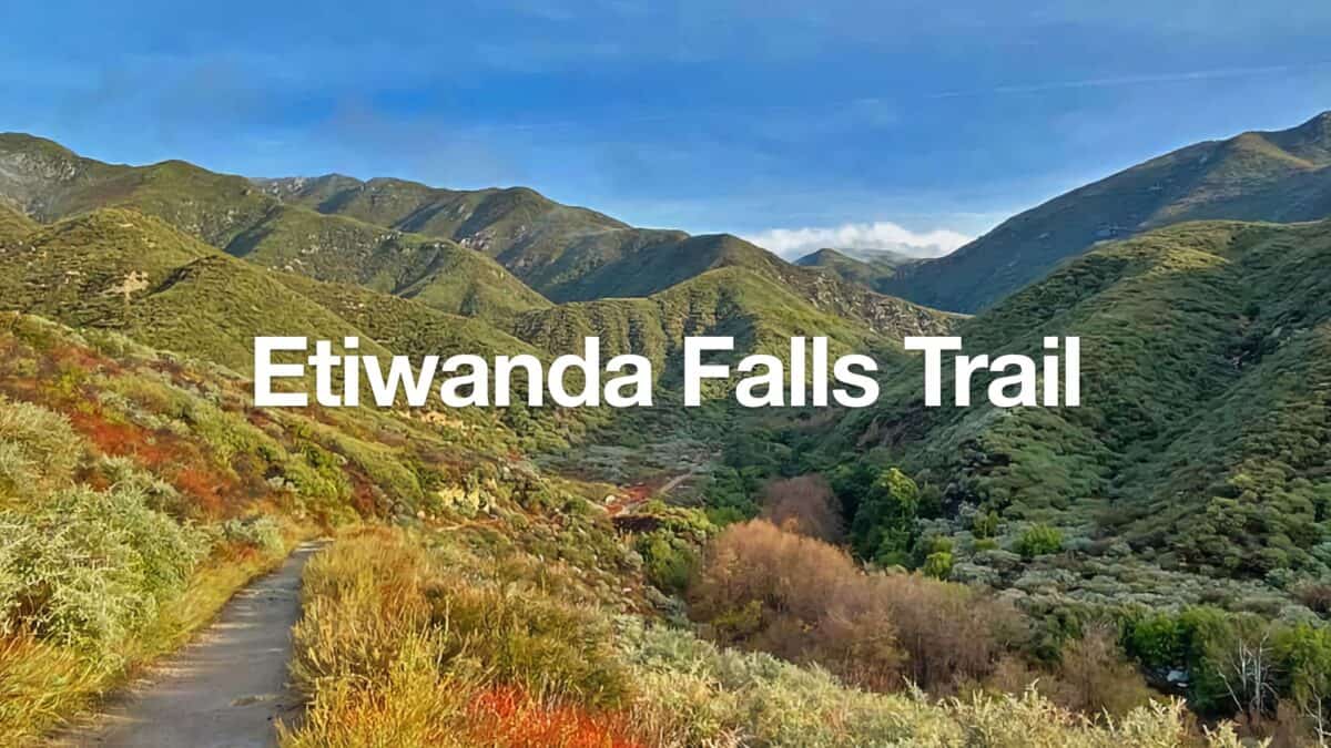 Hike the Etiwanda Falls Trail
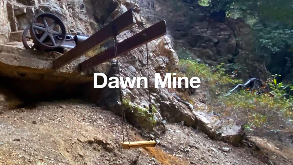 Dawn Mine Trail Hike
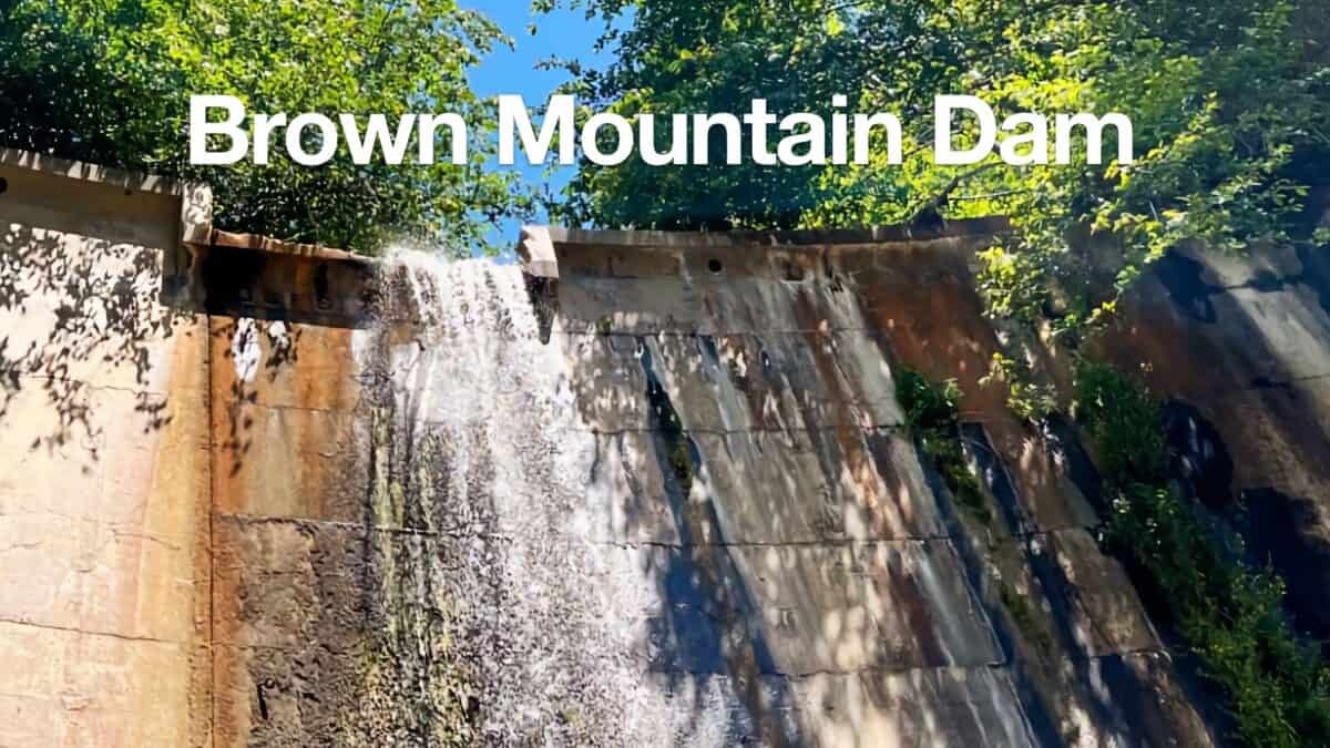 Hike Brown Mountain Dam (Arroyo Seco)
 Los Angeles Hikes
 Angeles National Forest Hikes
Popular Guides
 Best Hiking Gear 2024
 Hiking Boots or Shoes: Do I Really Need Hiking Boots?
 When to Hit SOS on inReach
This Guide Was Written by Cris Hazzard

Hi, I'm Cris Hazzard, aka Hiking Guy, a professional outdoors guide, hiking expert, and author based in Southern California. I created this website to share all the great hikes I do with everyone else out there. This site is different because it gives detailed directions that even the beginning hiker can follow. I also share what hiking gear works and doesn't so you don't waste money. I don't do sponsored or promoted content; I share only the gear recommendations, hikes, and tips that I would with my family and friends. If you like the website and YouTube channel, please support these free guides (I couldn't do it without folks like you!). You can stay up to date with my new guides by following me on YouTube, Instagram, or by subscribing to my monthly newsletter.