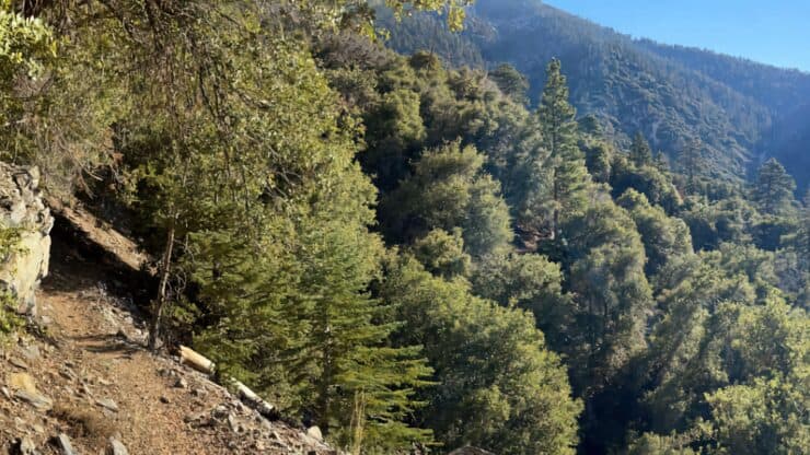

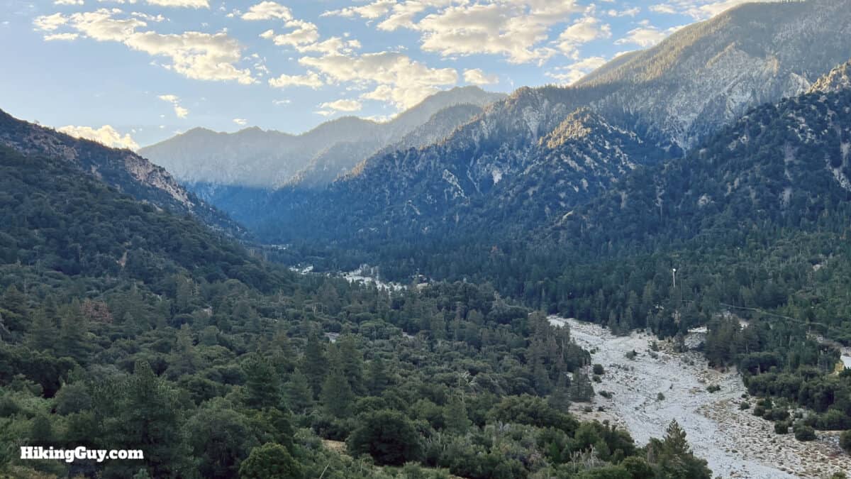
Located in some of the most pristine wilderness of Southern California, the hike up Momyer Creek Trail to Dobbs Cabin is a real treat. The hike offers several camping options, solitude, and a backcountry feel, even though it is not that far from civilization. And Momyer and Dobbs are influential figures in local history: this peaceful hike route was at the center of the battle between development and wilderness protection.
- Video and Turn-by-Turn Directions to hike Momyer Creek Trail to Dobbs Cabin
- Getting a Permit for the Hike
- Insider Tips & Recommendations
Where is the Momyer Creek Trail?
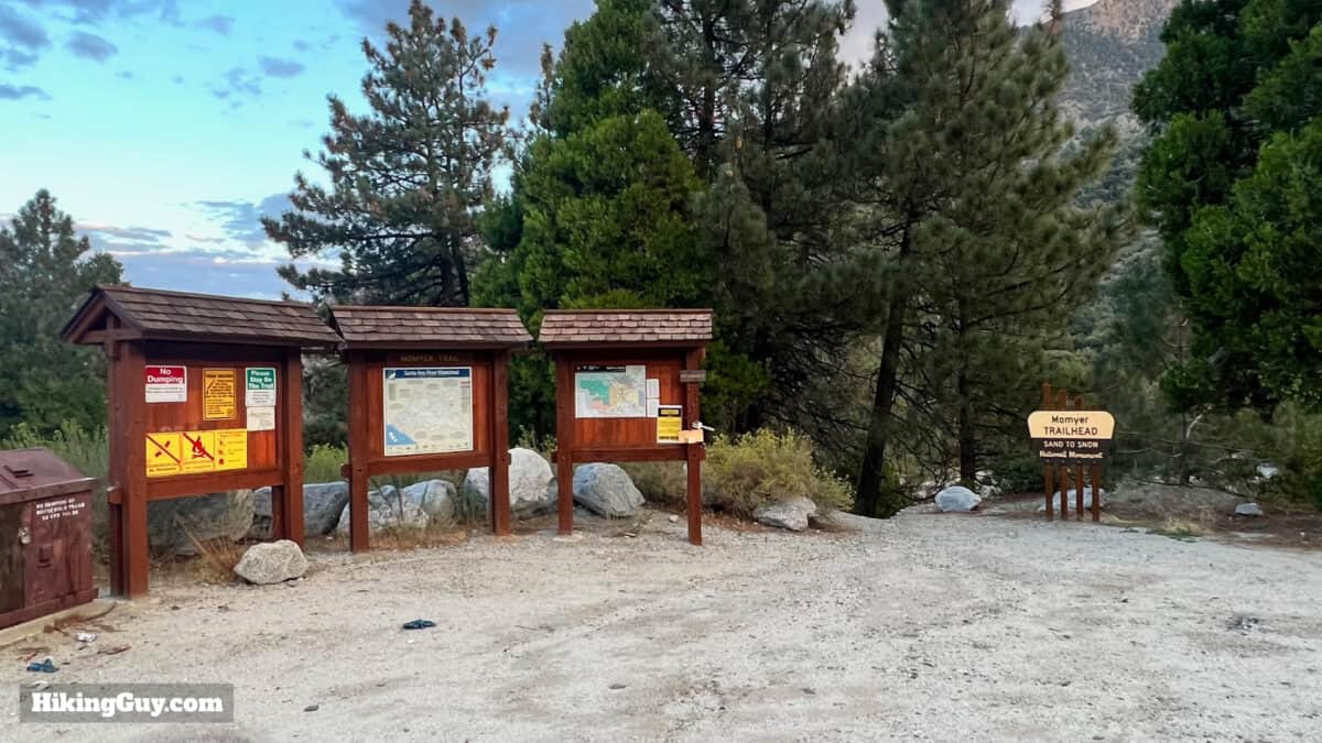
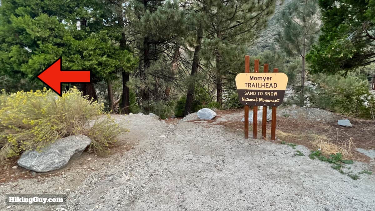
The hike starts at an established trailhead in Forest Falls, CA. Use this trailhead address:
40560 Valley of the Falls Dr, Forest Falls, CA 92339
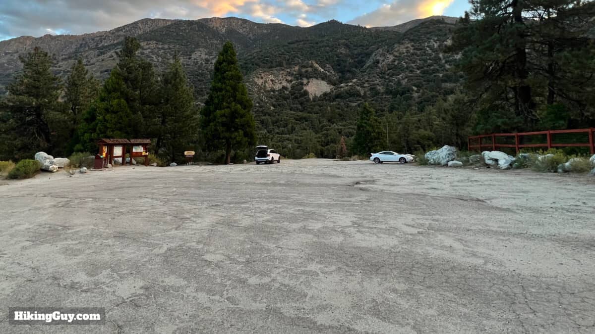
There are no bathrooms here. If you have to go, drive up to the nearby Falls Picnic Area.
You do not need a parking pass at the Momyer Creek Trailhead.
Permits
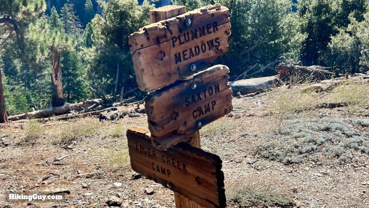
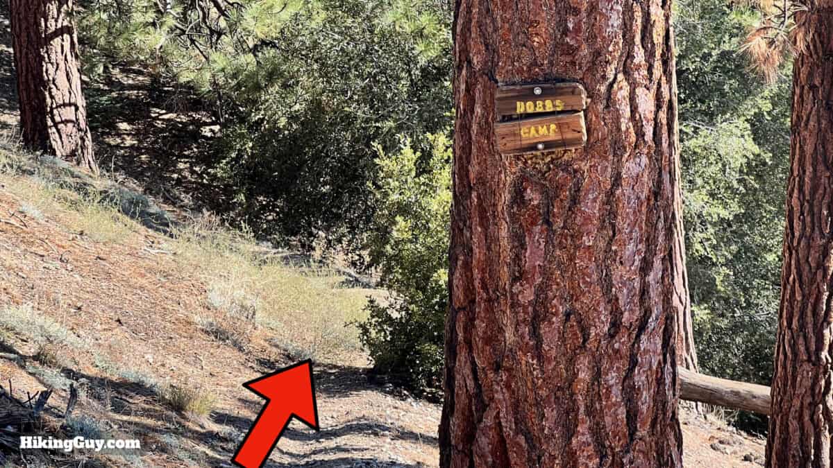
You can get a free permit for a day hike or overnight camping trip at the San Gorgonio Wilderness Association's permit website. Save the permit on your phone or print it out. This isn't a popular trail and you should be okay to score a permit at the last minute. The two campsites are Dobbs Camp and Alger Creek. Space is limited at the trail camps (no facilities), but again, this is not a popular area.
Permit Availablity
Can't get a permit for your date? Try OutdoorStatus.com and get a text message as soon as a cancelled permit opens up!.
Gear For the Hike
This is a backcountry hike and you should plan accordingly.
- Trekking poles help on the slopes and stream crossings.
- Your feet could get wet at the stream crossings.
- There are perennial water sources along the route; you can get away with 1L and refilling with a filter.
- In the winter, snow and ice can be on these lower slopes.
- The route is well-shaded and cooler in the summer.
- Bugs can be intense when it's warm out.
Gear That I Love Right Now
Nothing is sponsored or promoted, just the actual gear that I use.


Momyer Creek Trail to Dobbs Cabin Trail Maps
How Will You Navigate?
 Using the Apple Watch for Hiking
 Garmin Fenix 7 & Epix Review For Hikers
 How To Read a Topographic Map
 Garmin GPSMAP 67i Review
Elevation Profile
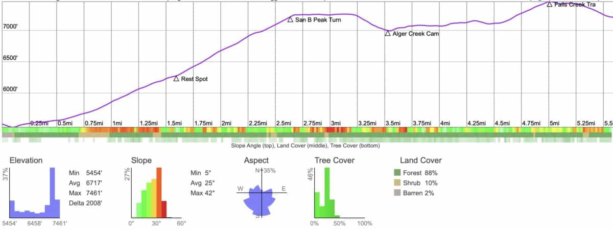
3D Map
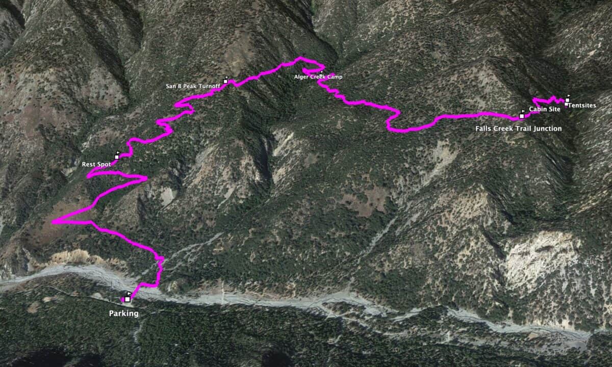
Hike Brief
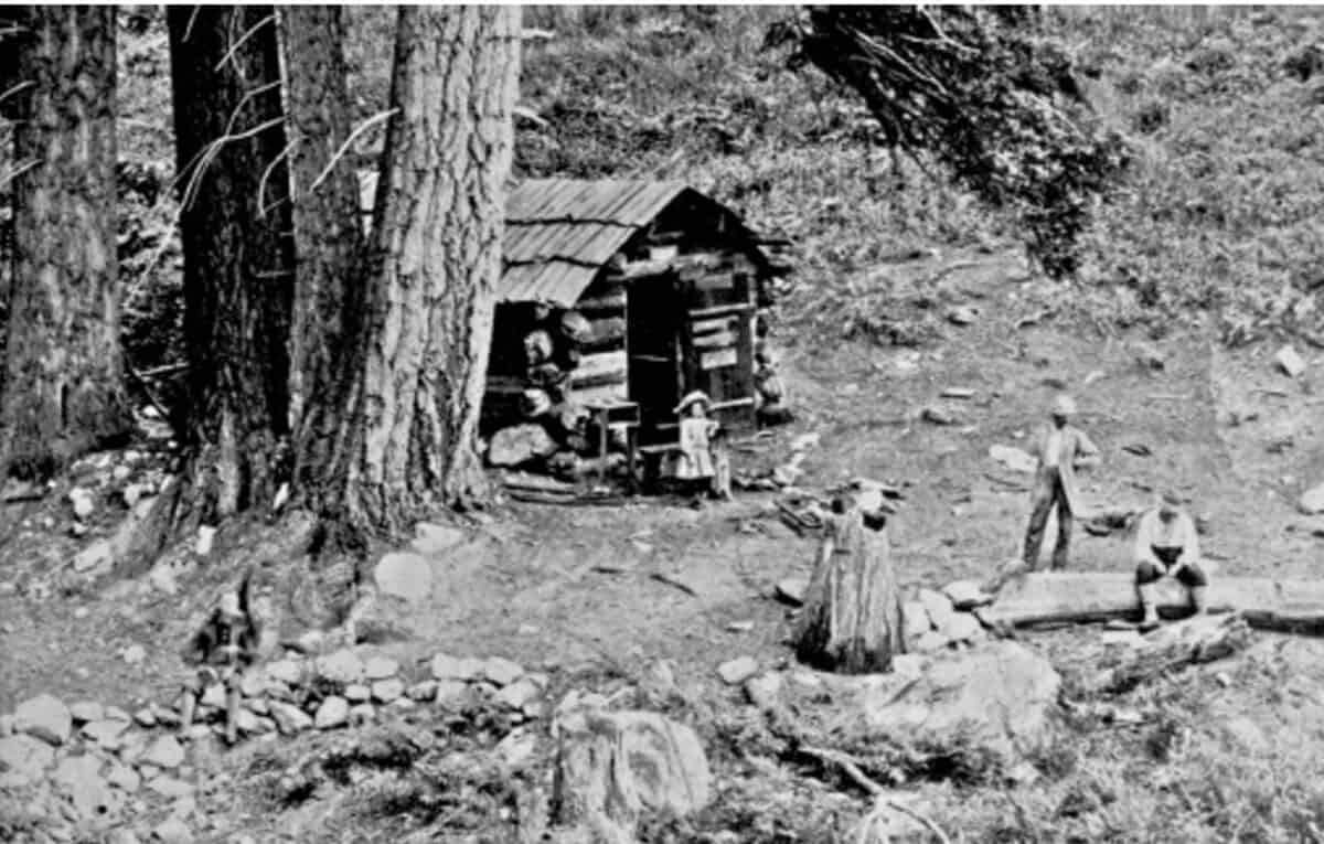
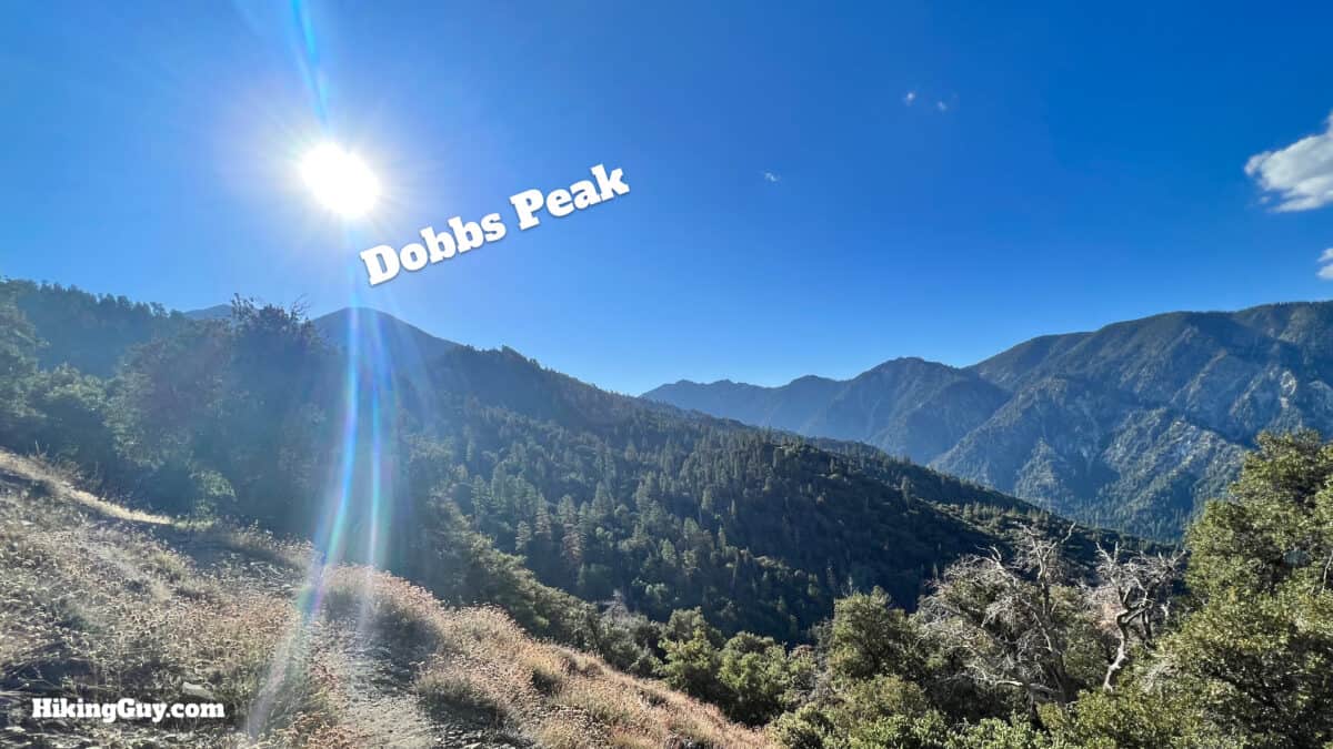
- Dobbs arrived in the area in 1896, originally from Arkansas and then Texas. He quickly became a fixture in the area, working as a mountain guide. Dobbs Cabin and Dobbs Peak were named after him.
- Dobbs was also opportunistic, staking mining claims here and pursuing his most significant project, a hydroelectric power generation system. He teamed up with hydroelectric pioneer Cyrus G. Baldwin to channel the water on the north side of Mill Creek into a flume, providing power to developed communities like Lakeview and Perris. The project never panned out, and Dobbs focused on tourism, but you can still scattered lumber from the flume project in the area.
- Dobb's original Falls Creek Trail and flume route was east of the Momyer Creek Trail. However, local homeowners shut down the lower slopes of that trail in the 1960s because they didn't want hikers traversing their land. After that, Boy Scouts created the connector trail from Momyer to the old Falls Creek Trail, which you'll hike on for this route.
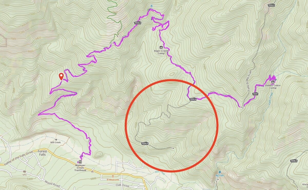
You can still see the old trail on some maps. I haven't explored it and I'd imagine it's pretty overgrown. - Dobbs was hit by lightning when hiking by San Gorgonio. After getting hit, he retired and wasn't seen often.
- This area of the San Bernardino mountains was at the forefront of the battle against development. From the early 1900s, Forest Falls was home to several resorts. Baldwin (Dobbs's partner) wanted to use his hydroelectric power to build a gondola from Forest Falls to the summit of San Gorgonio. The high slopes were also popular with skiers, and in the 1960s, Walt Disney tried to build a ski resort here.
- But in 1962, Joe Momyer and a few others created the Defenders of the San Gorgonio Wilderness, which fought against Disney and others. Eventually, they helped pass the Wilderness Act, and today the entire wilderness is protected against development. The Momyer Creek Trail honors one of the folks who saved the area.
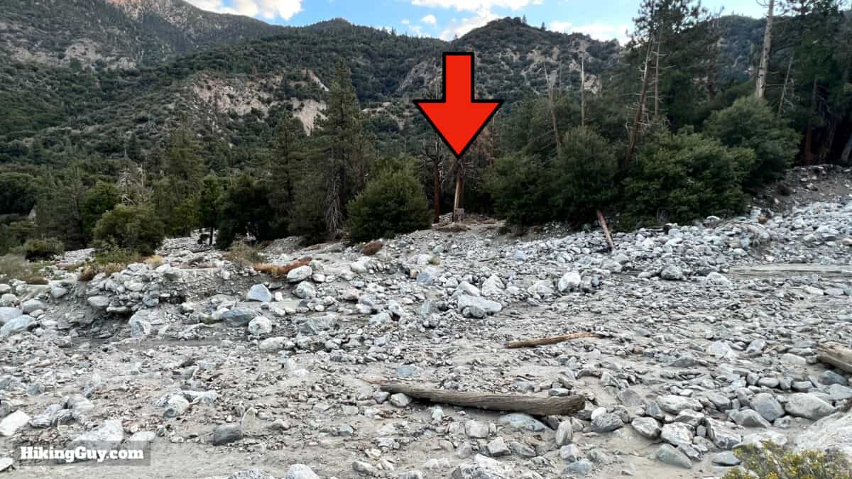
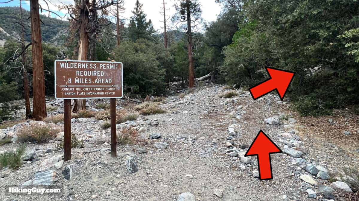
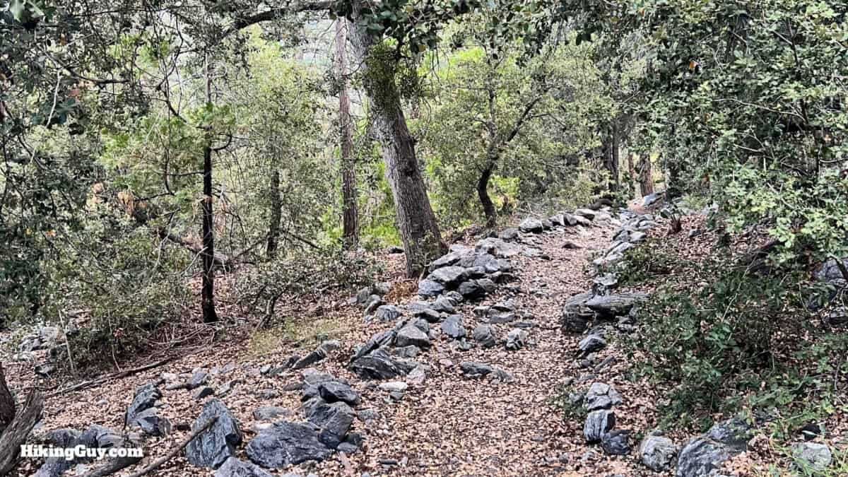
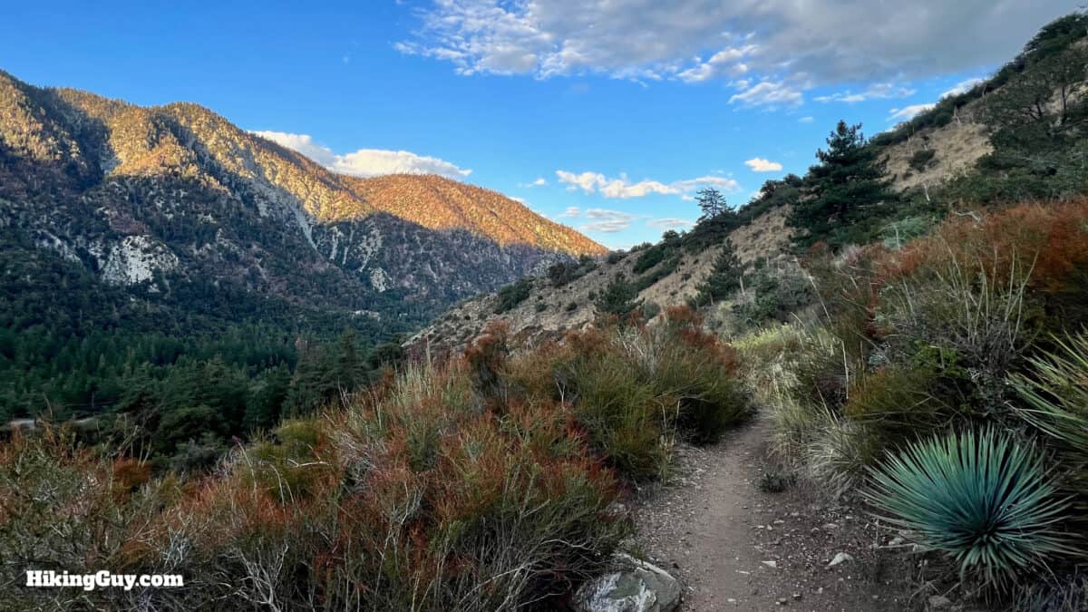
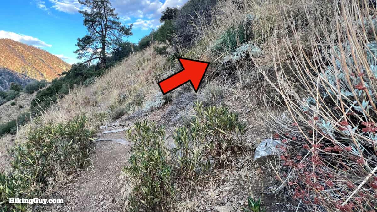
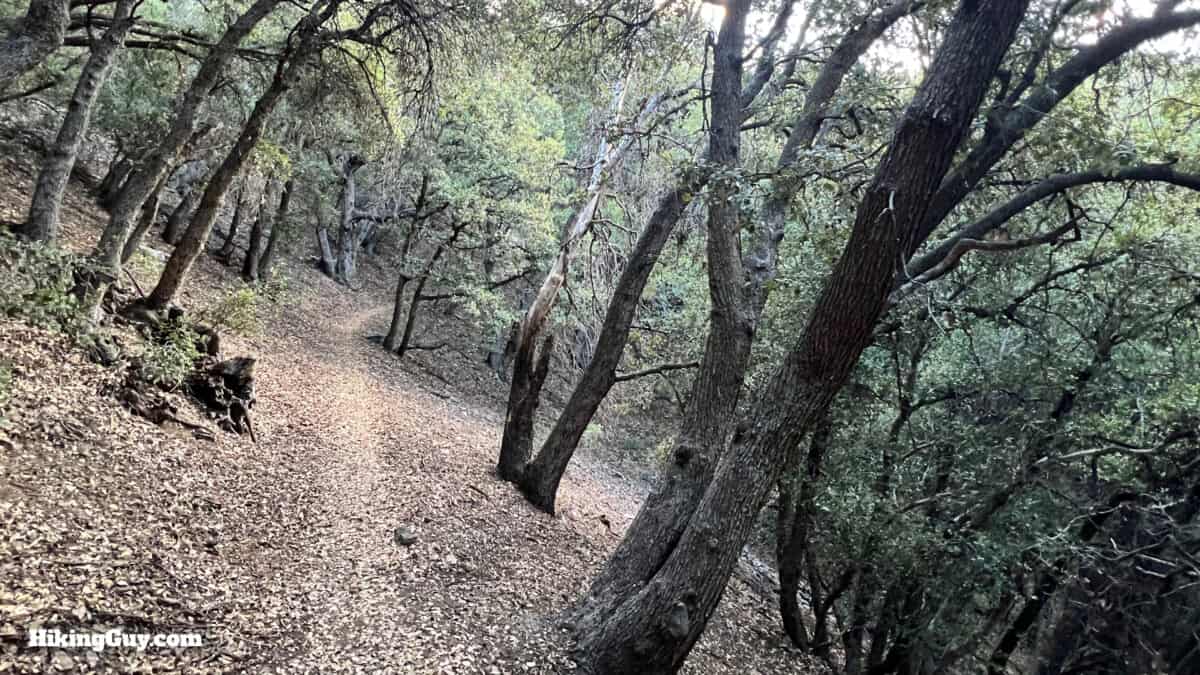
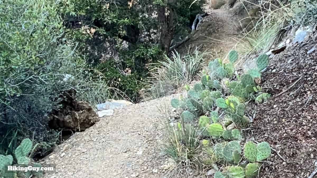
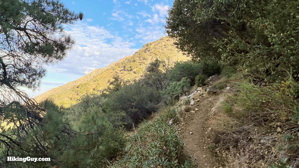
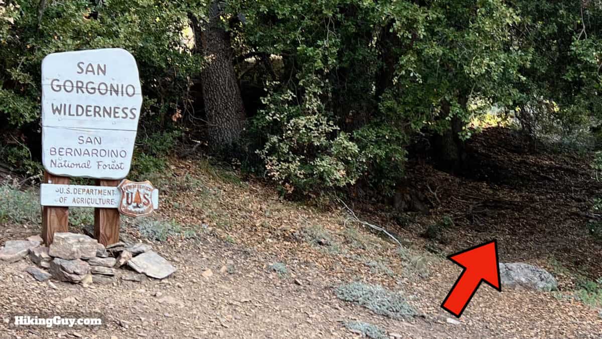
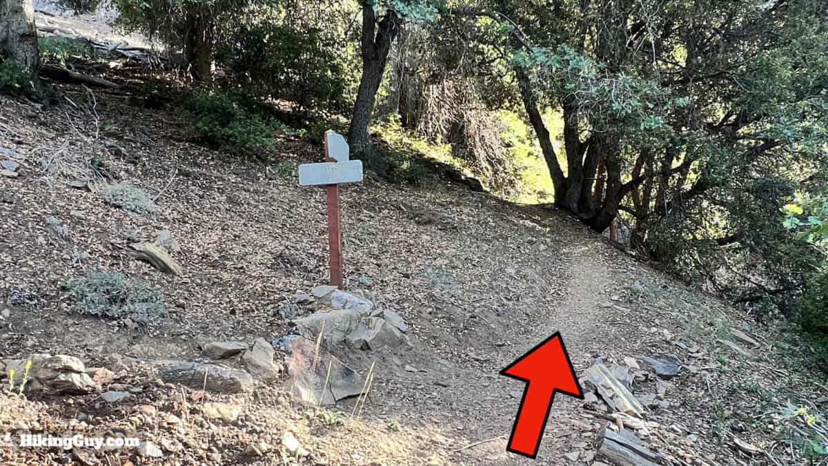
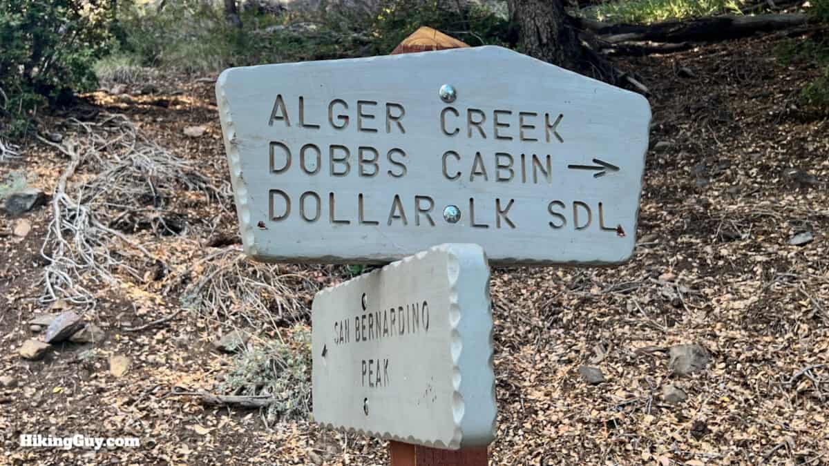
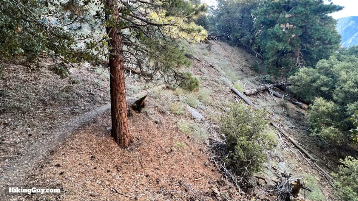
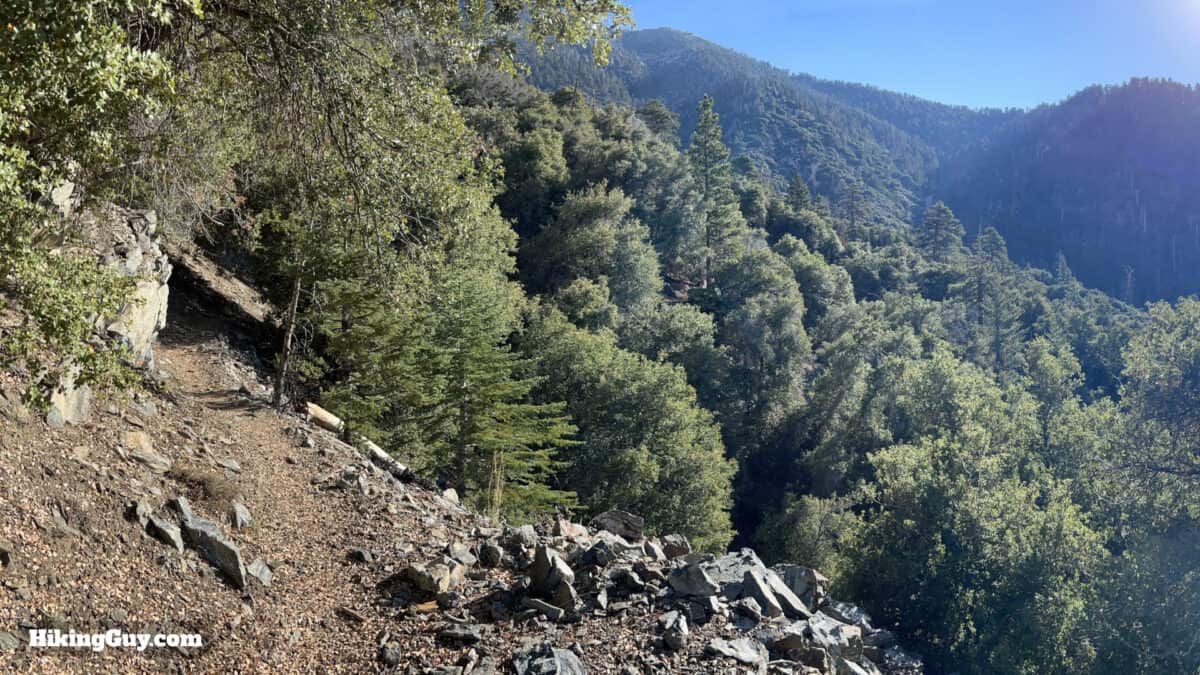
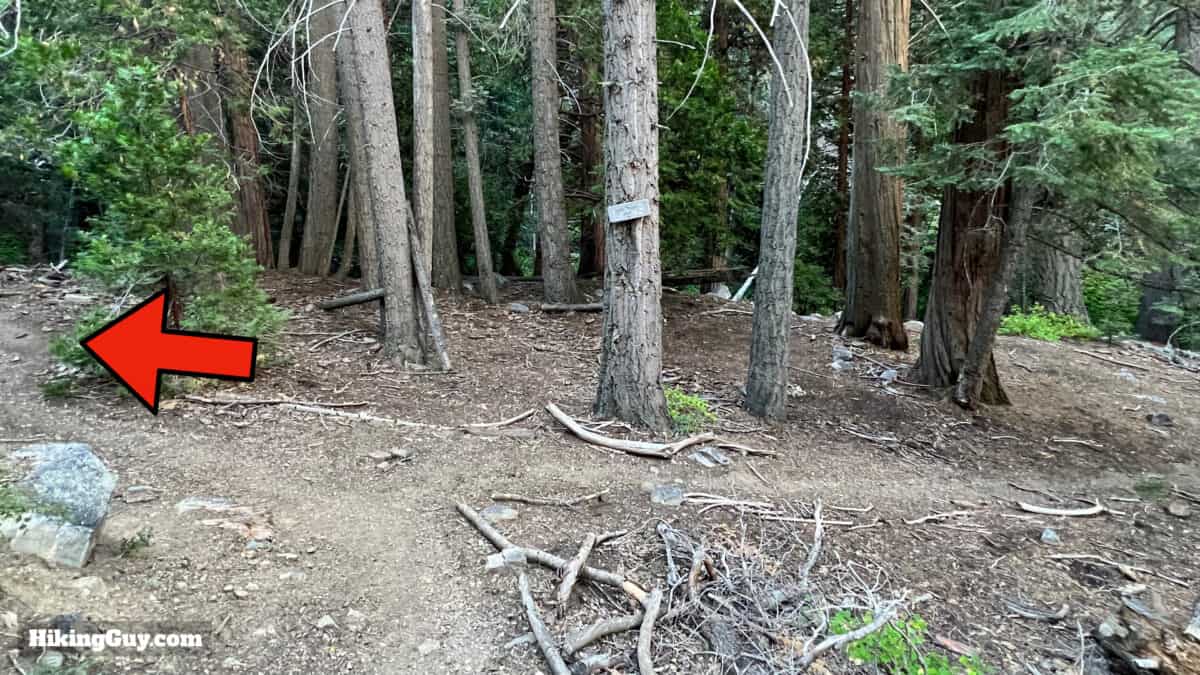
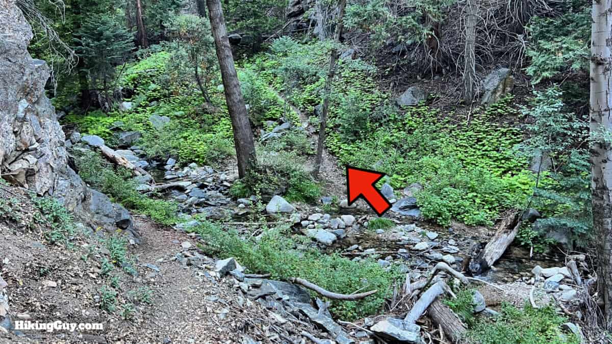
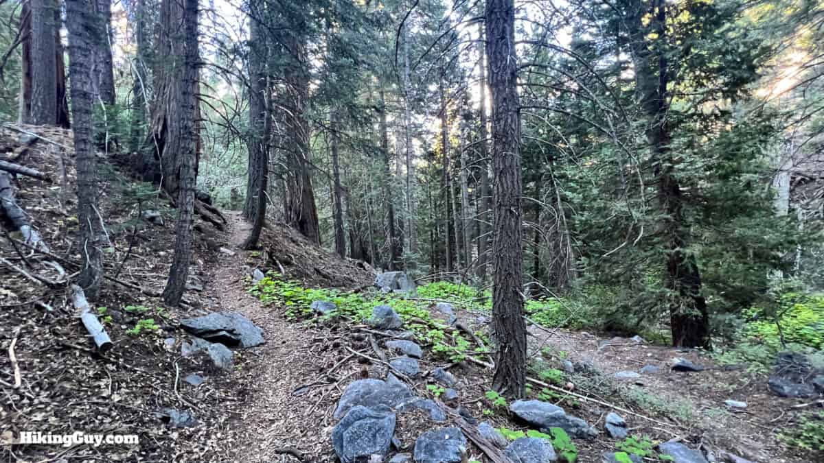
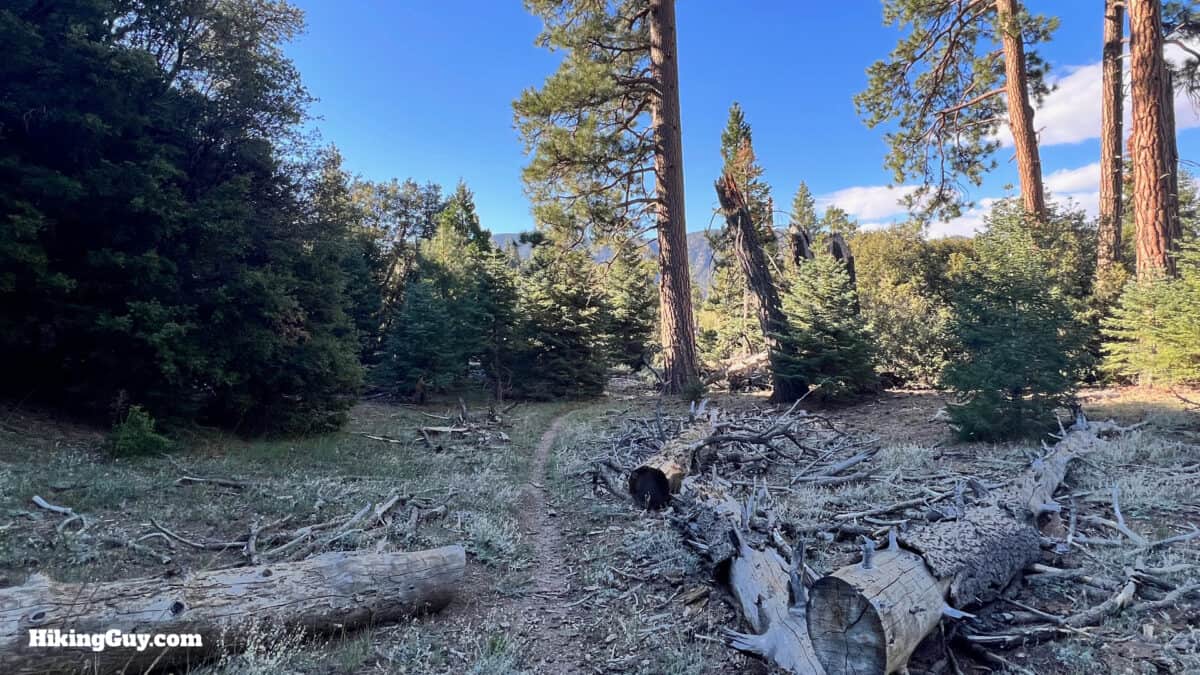
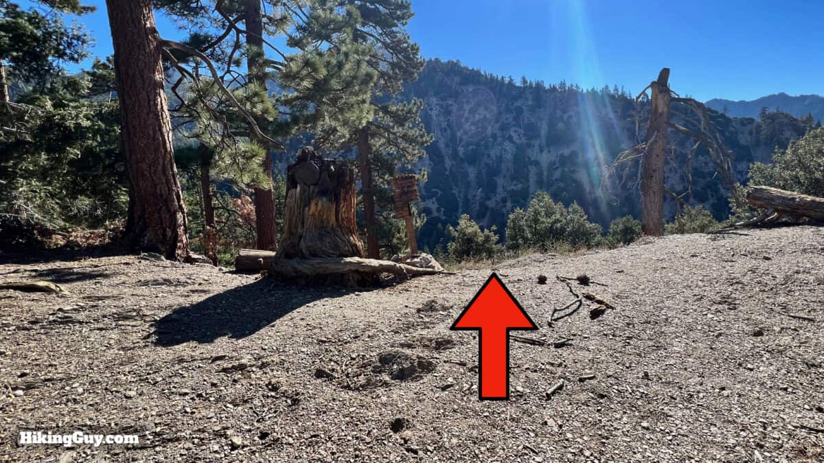
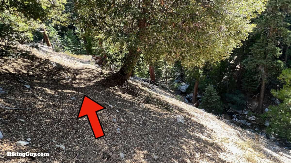
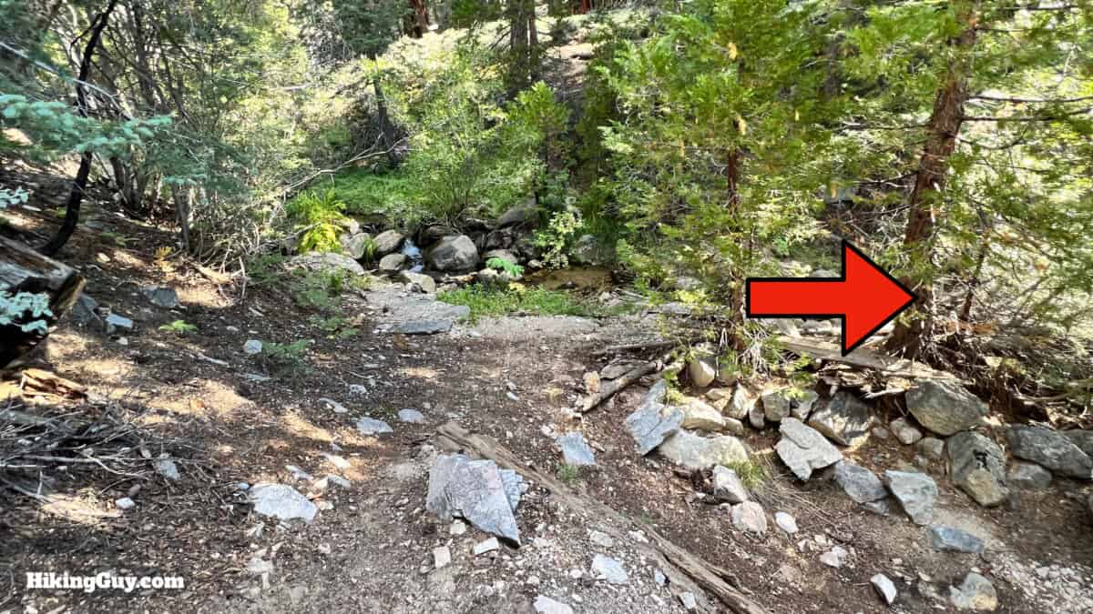
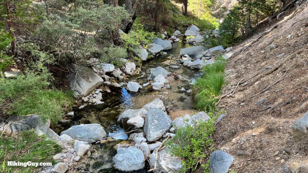
Dobbs Cabin Hike Directions
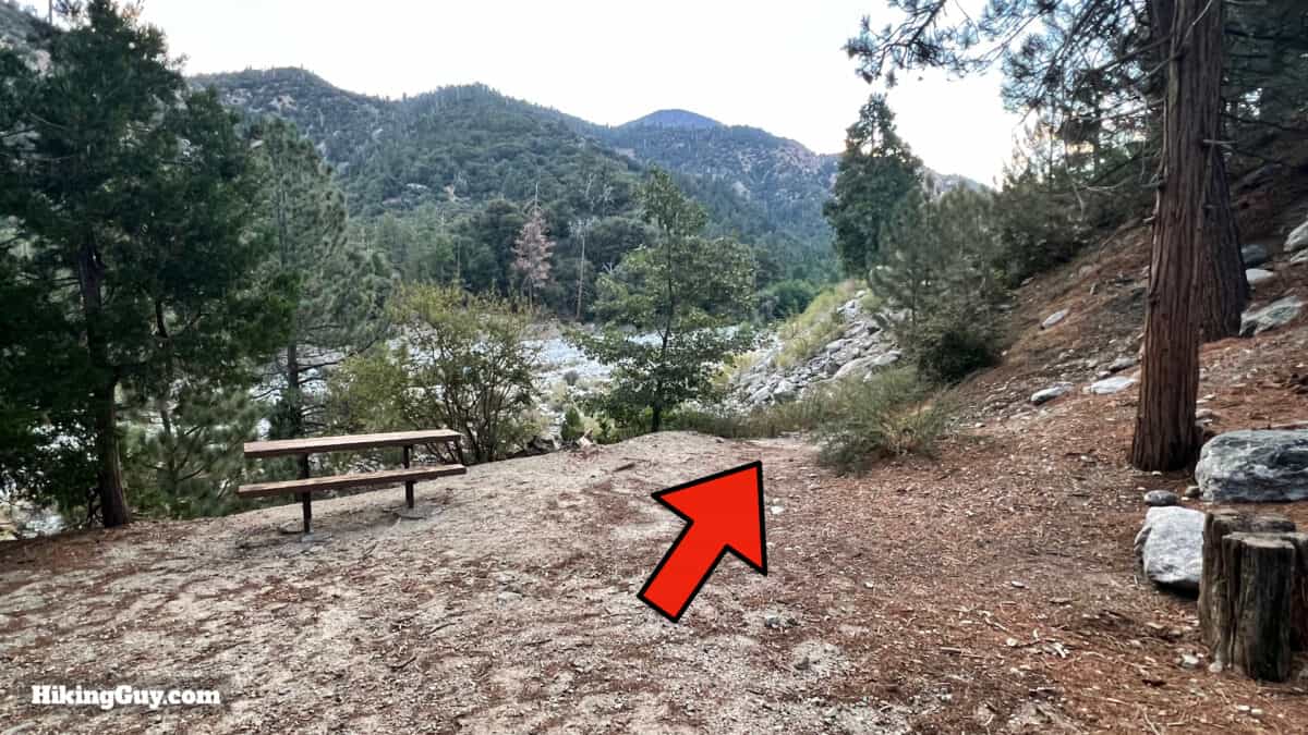
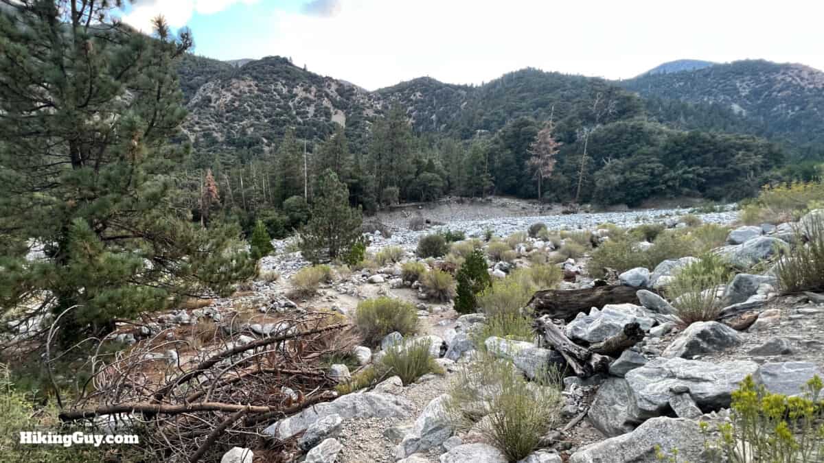
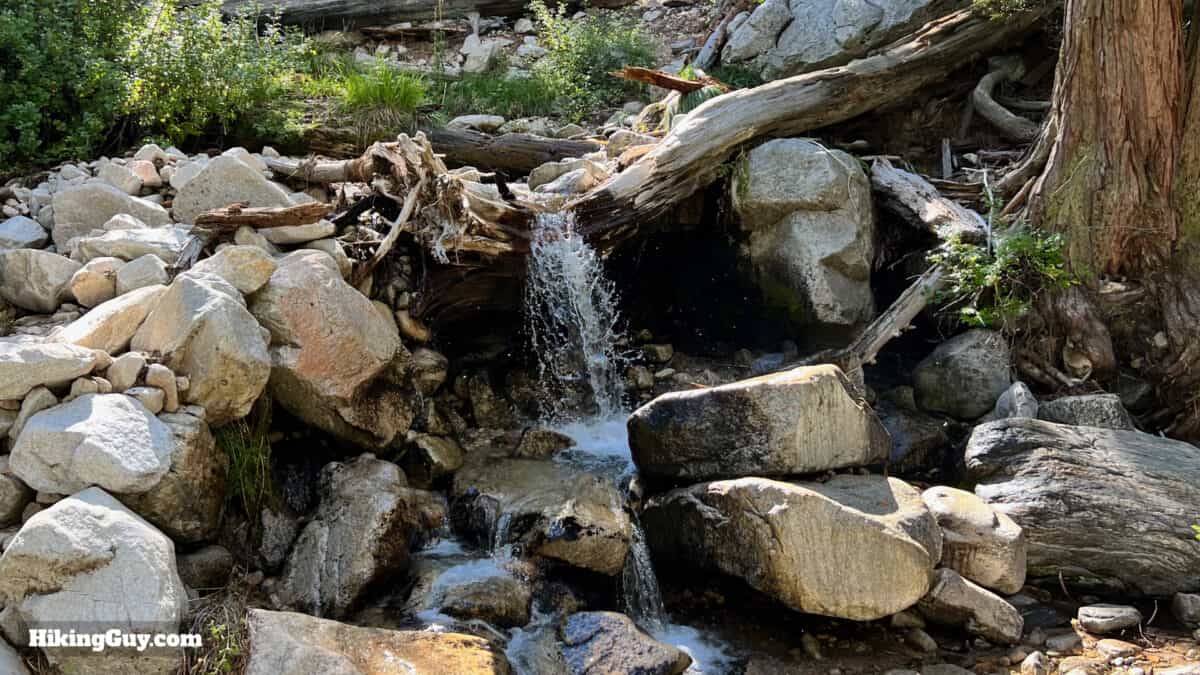
Sometimes there can be intense flash floods at Mill Creek. If that's the case, it's not the time to do this hike.
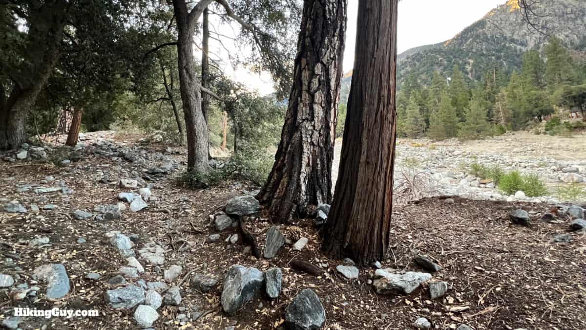
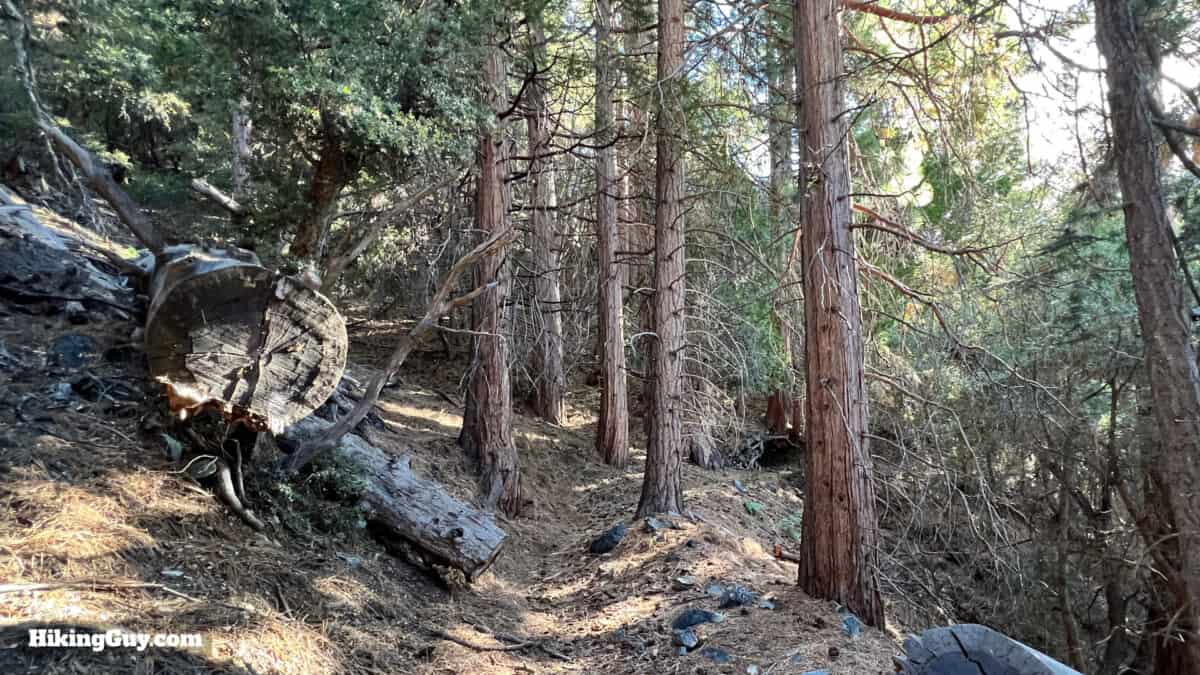
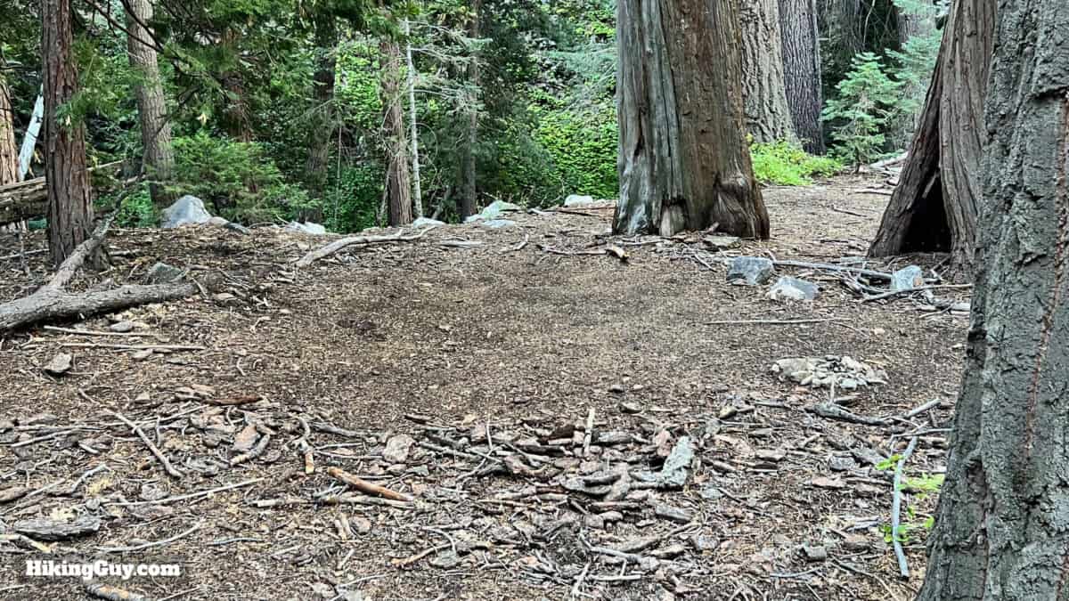
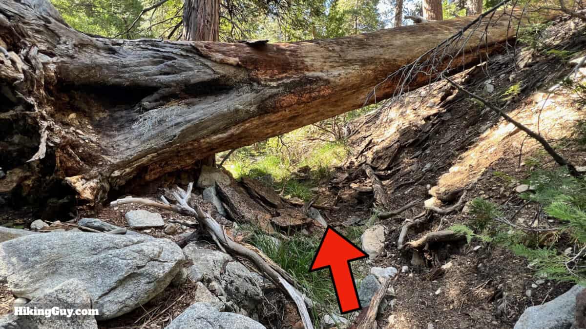
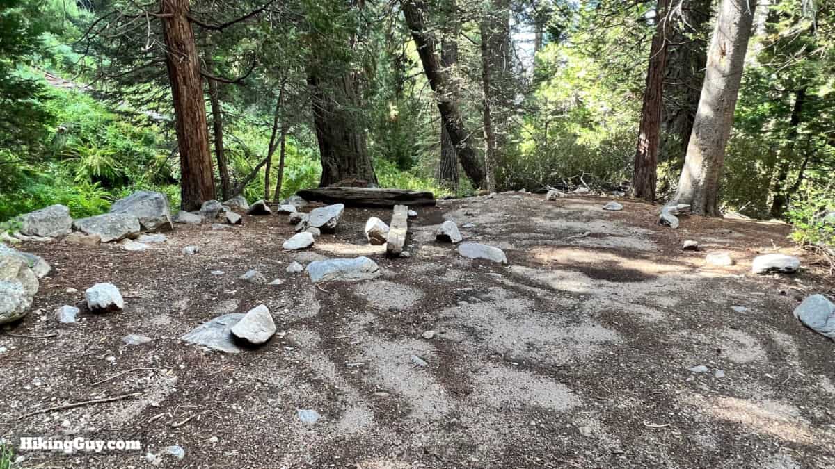
Is this the actual site of the cabin? I was told that but I'm not sure. I've heard of metal debris off-trail to the north. I'm also not positive after looking at the old image earlier in the guide. Wherever it was, it was around here somewhere. The area in the last photo was definitely cleared and leveled by humans.

Need More Info?
- Have a question about the guide or want to see what other people are saying/asking? View the Youtube comments for this video. Leave a comment and I will do my best to respond.
- When planning, always check the park website and social media to make sure the trails are open. Similarly, check the weather and road conditions.
Related Guides
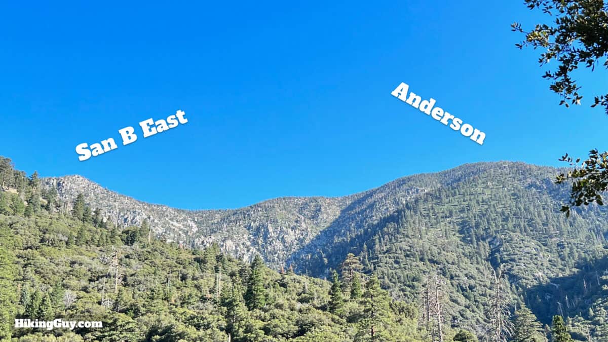
 Hike San Bernardino East Peak From Forsee Creek Trail
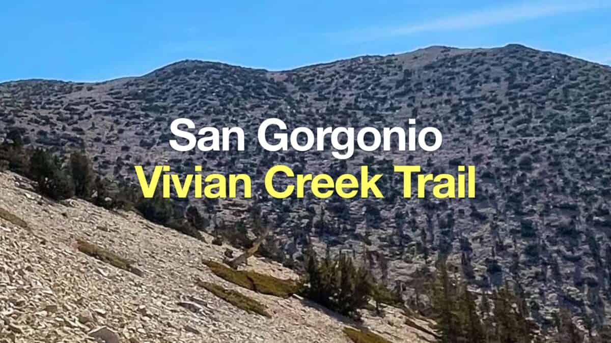 San Gorgonio Hike on the Vivian Creek Trail
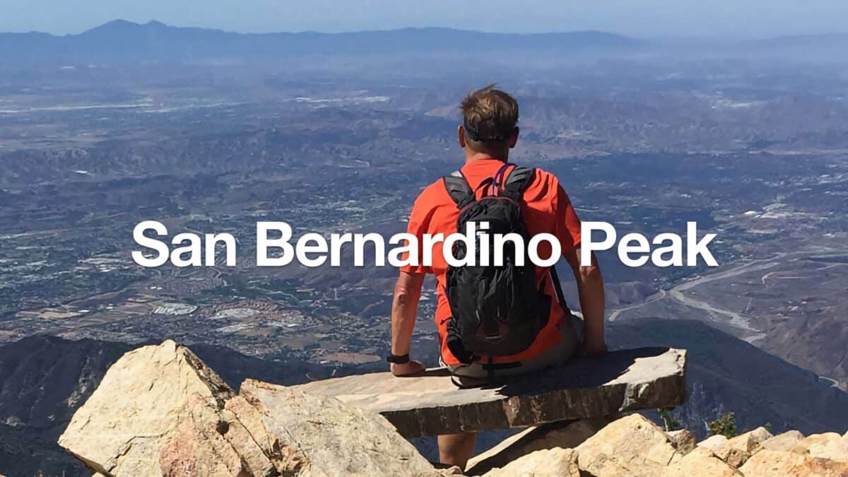 San Bernardino Peak Hike
 Los Angeles Hikes
 Backpacking Trips
 Big Bear Hikes
 LA Mountain Hikes
 San Bernardino National Forest Hiking Trails
 San Gorgonio Wilderness Hikes
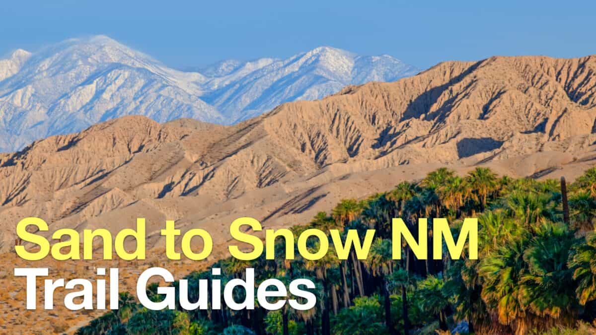 Sand to Snow National Monument Hikes
Popular Guides
 Best Hiking Gear 2024
 Hiking Boots or Shoes: Do I Really Need Hiking Boots?
 When to Hit SOS on inReach
This Guide Was Written by Cris Hazzard

Hi, I'm Cris Hazzard, aka Hiking Guy, a professional outdoors guide, hiking expert, and author based in Southern California. I created this website to share all the great hikes I do with everyone else out there. This site is different because it gives detailed directions that even the beginning hiker can follow. I also share what hiking gear works and doesn't so you don't waste money. I don't do sponsored or promoted content; I share only the gear recommendations, hikes, and tips that I would with my family and friends. If you like the website and YouTube channel, please support these free guides (I couldn't do it without folks like you!). You can stay up to date with my new guides by following me on YouTube, Instagram, or by subscribing to my monthly newsletter.