
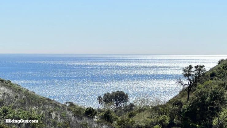
The Solstice Canyon hike in Malibu is one of the most beautiful (and popular) hikes you can find. Within the short distance of 3 miles, you get a bit of everything, ocean views from coastal hillsides, a shaded canyon along only one of two perennial water sources in the Santa Monica Mountains, a waterfall, and a solid dose of architecture and local history. In this guide, I'll take you on the popular loop hike to enjoy all the sights along Solstice Canyon.
- Solstice Canyon Video and Turn-by-Turn Directions
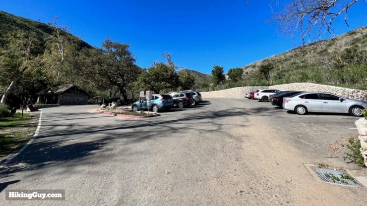
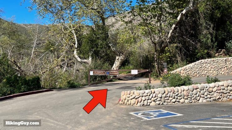
- Where to Park for the Solstice Canyon Hike
- Insider Tips and Recommendations
Where is Solstice Canyon?
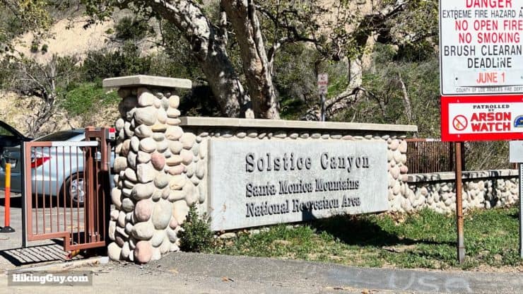
The Solstice Canyon trailhead is in the Santa Monica Mountains National Recreation Area, a few minutes inland from the ocean in Malibu. Use this trailhead address:
Solstice Canyon Road, Malibu, CA, 90265
Fun fact: Solstice Canyon Park opened on summer solstice, 1988.
Gear For the Hike
I'd recommend fitness clothing or light hiking gear for this hike. Bring at least 1L of water and some sun protection.
Gear That I Love Right Now
Nothing is sponsored or promoted, just the actual gear that I use.


Solstice Canyon Trail Maps
How Will You Navigate?
 Using the Apple Watch for Hiking
 Garmin Fenix 7 & Epix Review For Hikers
 How To Read a Topographic Map
 Garmin GPSMAP 67i Review
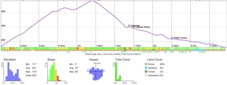
Elevation Profile
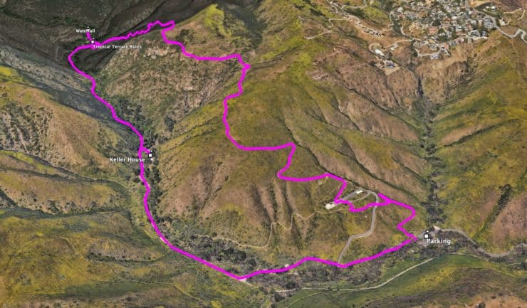
3D Map
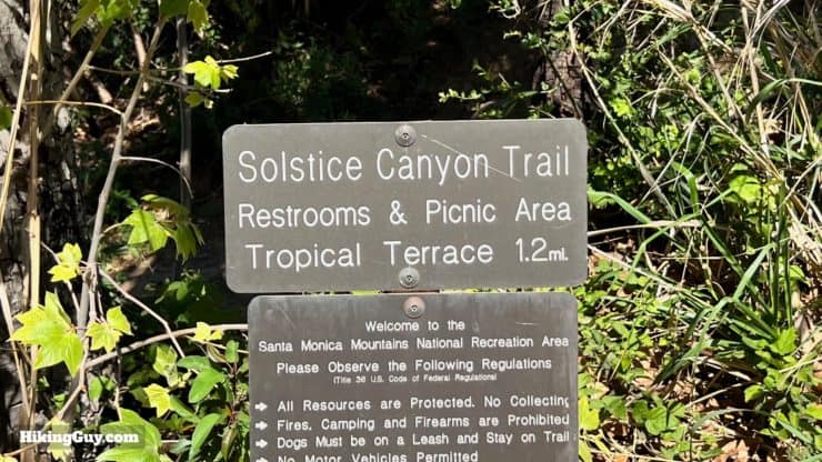
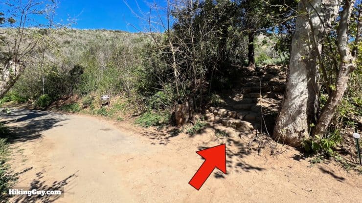
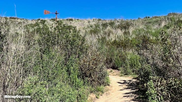
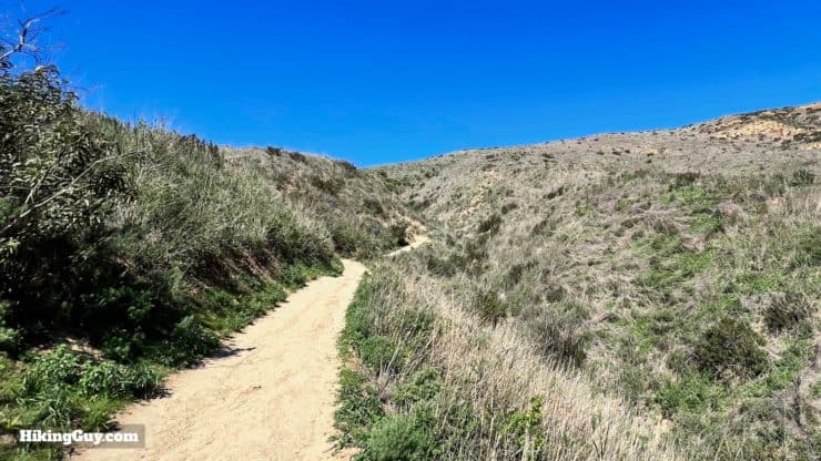
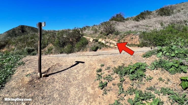
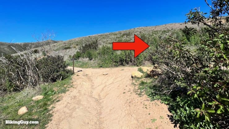
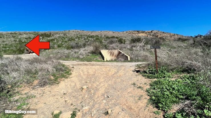
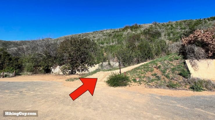
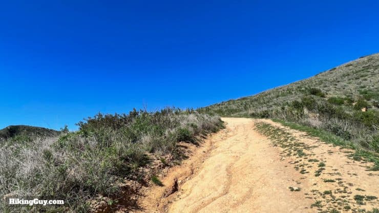
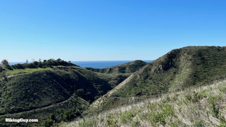
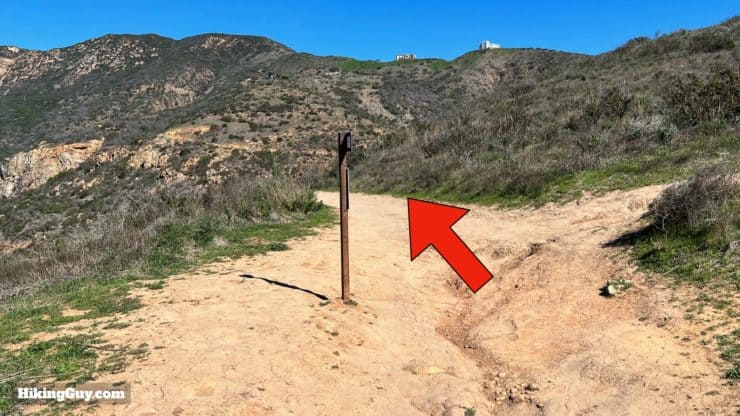
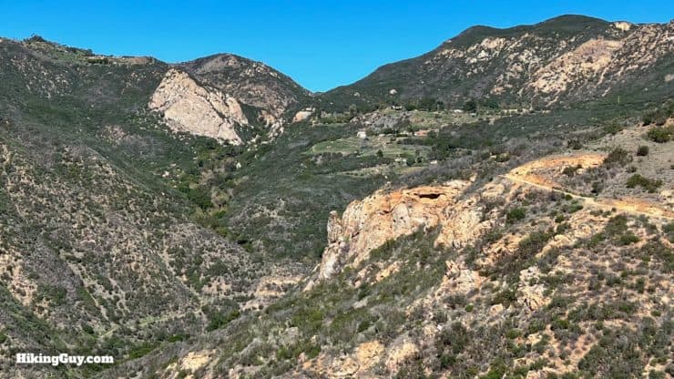
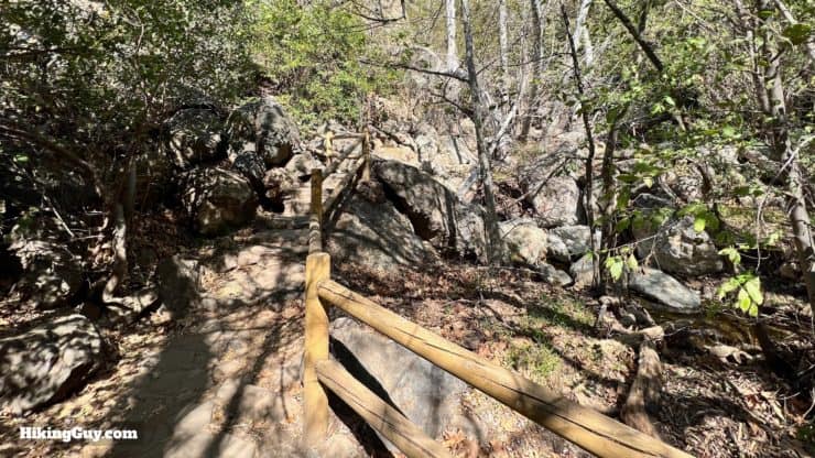
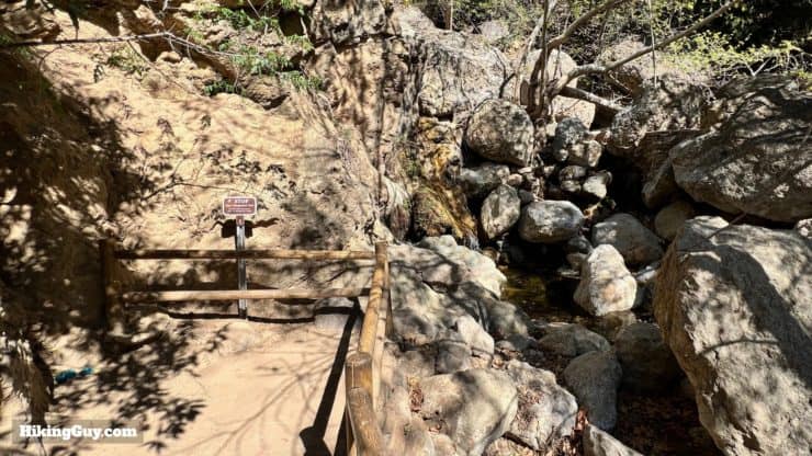
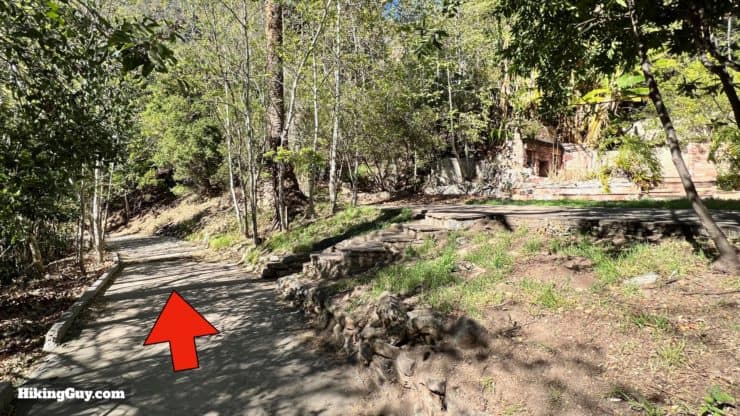
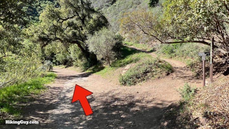
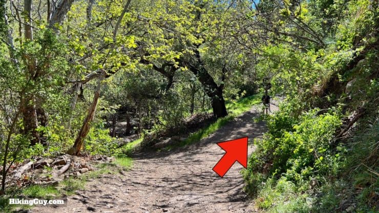
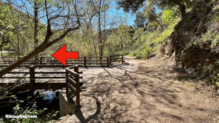
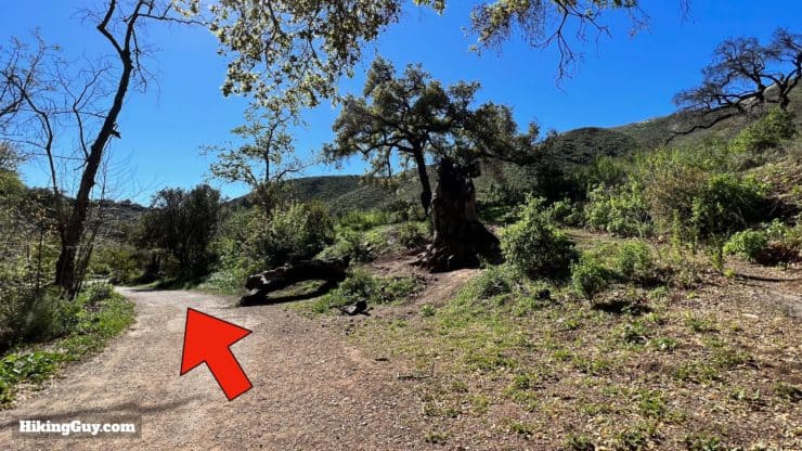
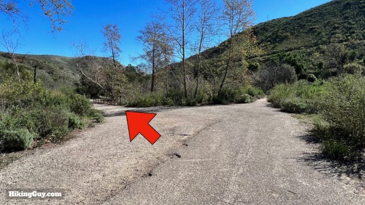
Solstice Canyon Hike Directions
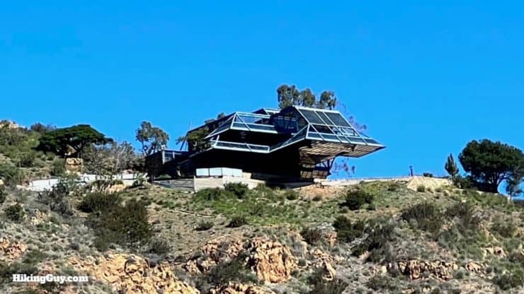
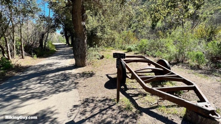
TRW stands for Thompson-Ramo-Wooldridge, the company that owned Space Technology laboratories, which rented 10 acres here in the 1960s. Solstice Canyon was one of only three places on earth chosen to test equipment used for the Pioneer planet exploration satellites. TRW selected the area because it was free of human-created or natural electromagnetic disturbances.
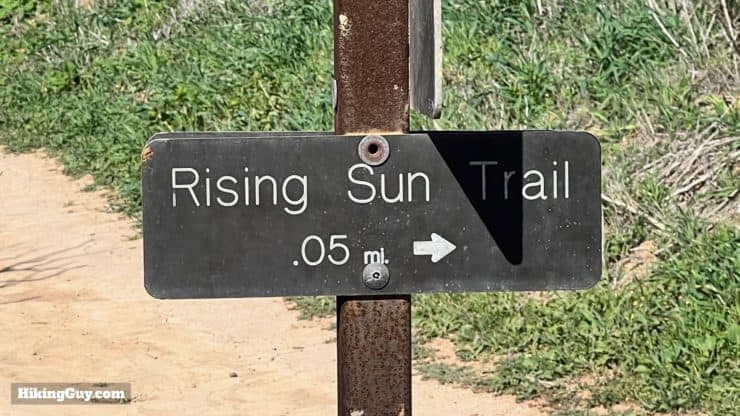
The Rising Sun Trail is named after one of the earliest vineyards in Southern California, the Rising Sun Vineyard, started by early settler Matthew Keller. We'll visit his house later in the hike.
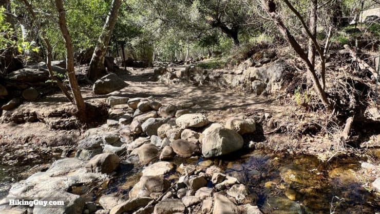
The creek is one of only two that flow year-round in the Santa Monica Mountains. It used to be stocked with trout, and at one point Steelhead would migrate up the creek from the ocean.
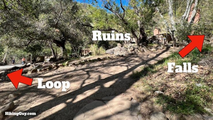
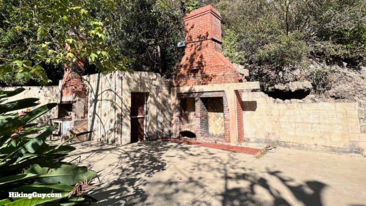

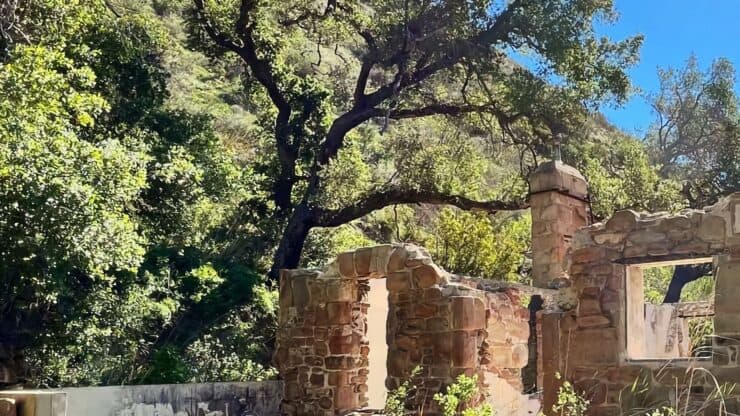
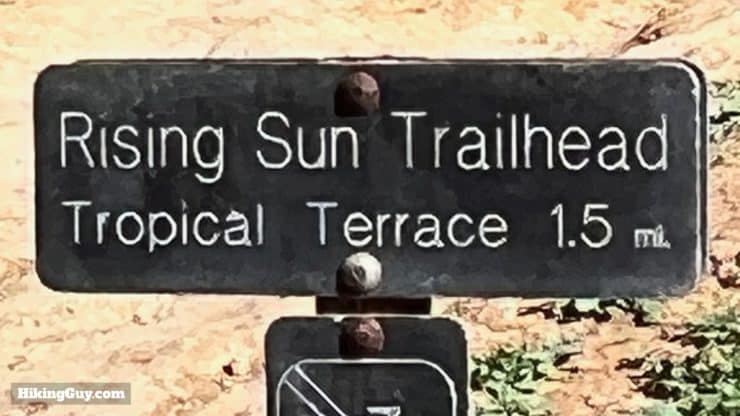
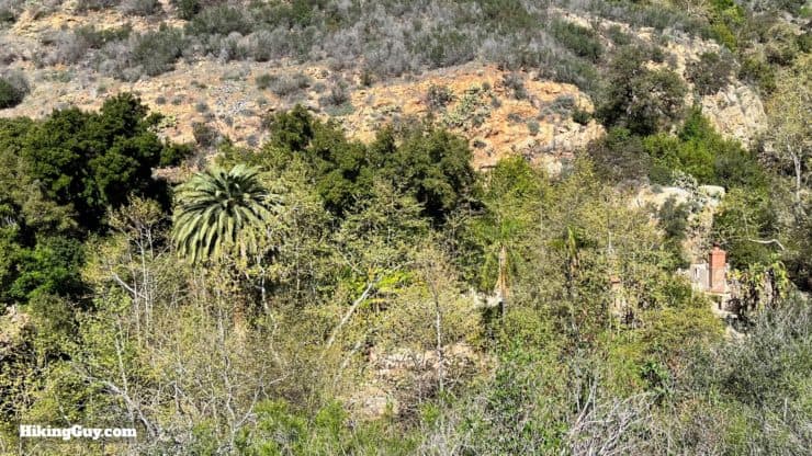
Tropical Terrace, also known as the Roberts House, was a bit of an architectural landmark. It was built by Paul Revere Williams, a famous African-American architect who also built homes for Frank Sinatra and Lucille Ball. The water features of the house served as a fire-prevention system. After the house sat unused and unmaintained for a while, it finally succumbed to the 1982 Dayton Canyon Fire.
You might hear loud parakeets as you hike down the trail. There's an active community of black-hooded parakeets in the canyon. The species is from South America, and these are ones were released (or escaped from) by pet owners. Today they thrive in the wild here.
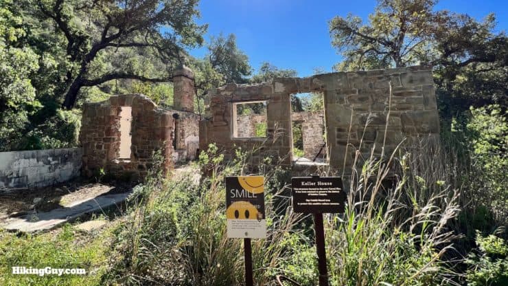
The Kellers were Irish immigrants and sheep farmers who moved here in 1857 after buying the land for $0.10 cents an acre.
Need More Info?
- Have a question about the guide or want to see what other people are saying/asking? View the Youtube comments for this video. Leave a comment and I will do my best to respond.
- When planning, always check the park website and social media to make sure the trails are open. Similarly, check the weather and road conditions.
Related Guides
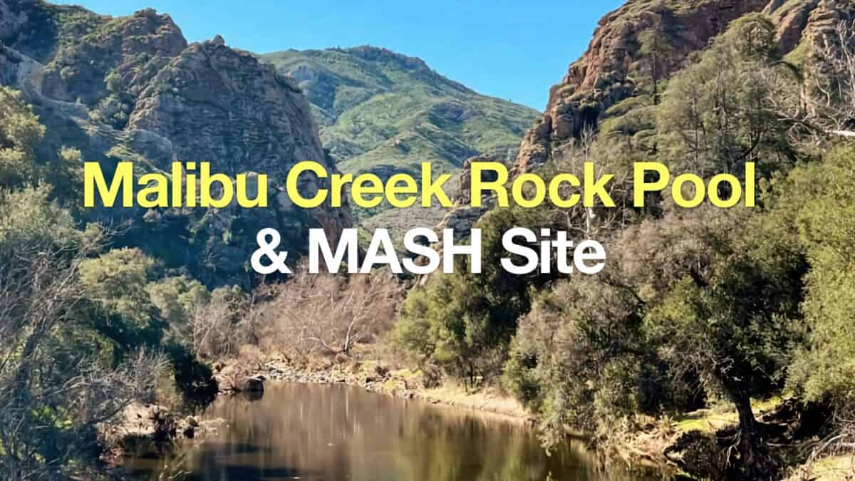 Hike Malibu Creek Rock Pool + MASH Site
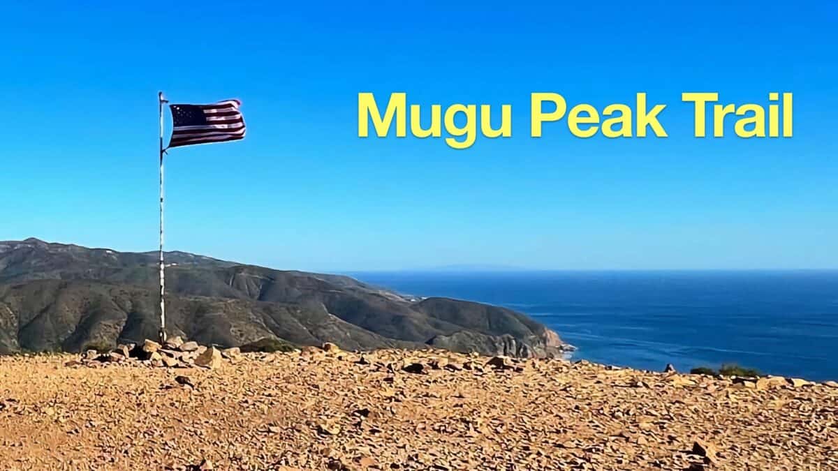 Hike Mugu Peak Trail
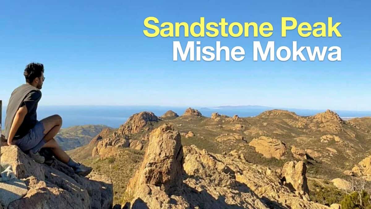 Hike Sandstone Peak on the Mishe Mokwa Trail
 Los Angeles Hikes
 Santa Monica Mountains National Recreation Area Hikes
Popular Guides
 Best Hiking Gear 2024
 Hiking Boots or Shoes: Do I Really Need Hiking Boots?
 When to Hit SOS on inReach
This Guide Was Written by Cris Hazzard

Hi, I'm Cris Hazzard, aka Hiking Guy, a professional outdoors guide, hiking expert, and author based in Southern California. I created this website to share all the great hikes I do with everyone else out there. This site is different because it gives detailed directions that even the beginning hiker can follow. I also share what hiking gear works and doesn't so you don't waste money. I don't do sponsored or promoted content; I share only the gear recommendations, hikes, and tips that I would with my family and friends. If you like the website and YouTube channel, please support these free guides (I couldn't do it without folks like you!). You can stay up to date with my new guides by following me on YouTube, Instagram, or by subscribing to my monthly newsletter.