Bootjack Loop Trail
Hike Stats
- Total Distance
- 6.5 miles
- Time
- 3-4 Hours
- Total Climbing
- 1200 feet
- Difficulty
- Moderate
- Crowds
- Quiet
- Dogs
- No Dogs
- Gear
- What I Use
- Weather
- Latest Report
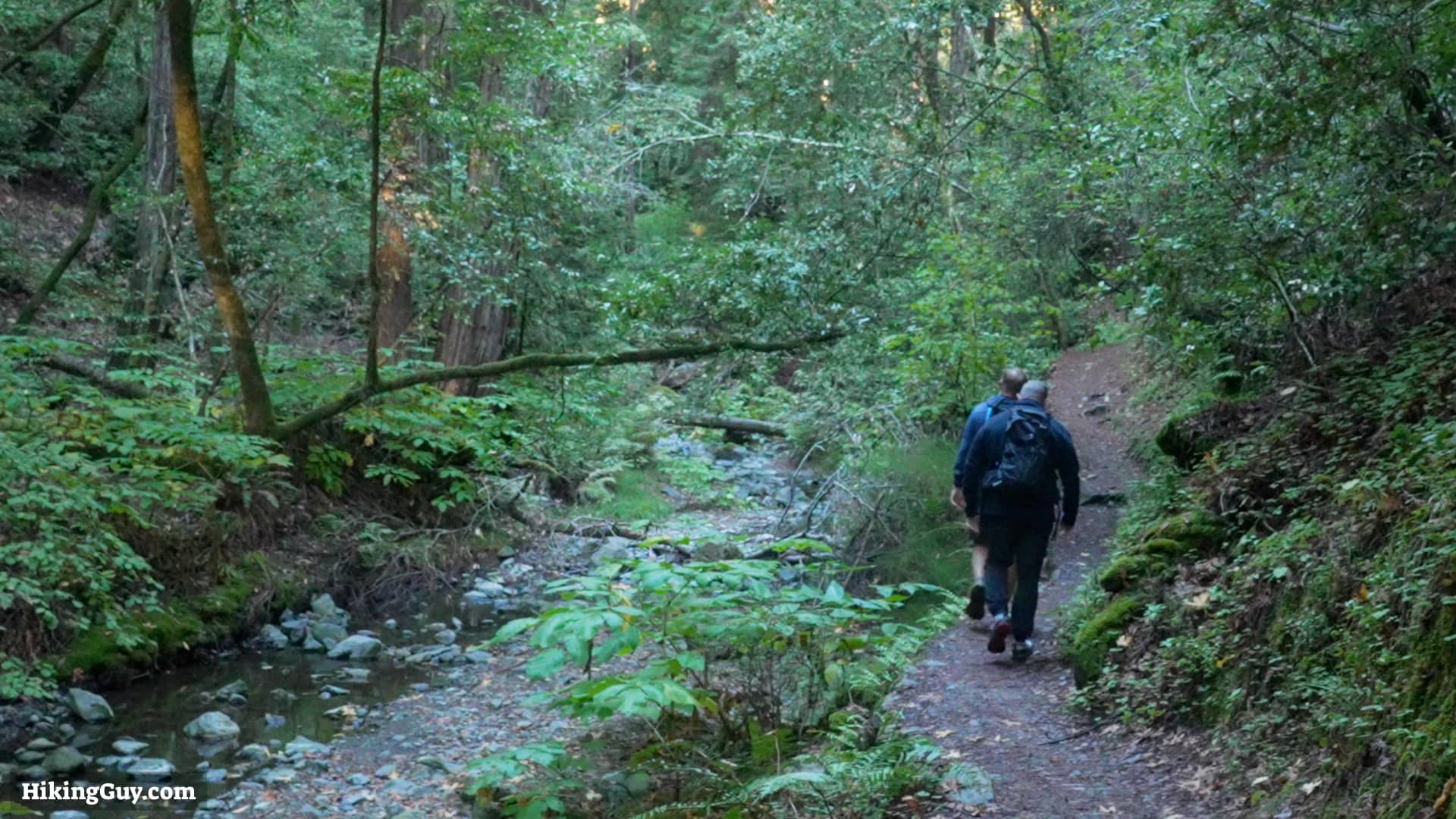
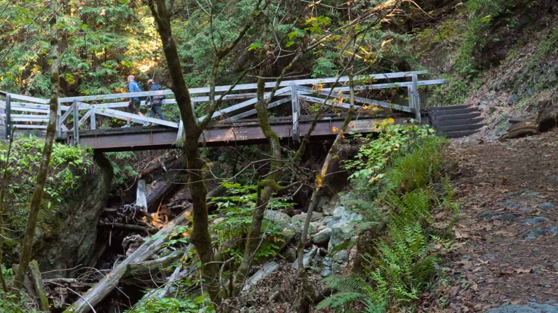
The Bootjack Loop Trail fits the bill for those wanting to do a 'hike hike' away from the crowds into the Muir Woods National Monument wilderness. The hike has a fair amount of climbing and takes you on the more rugged trails of the backcountry.
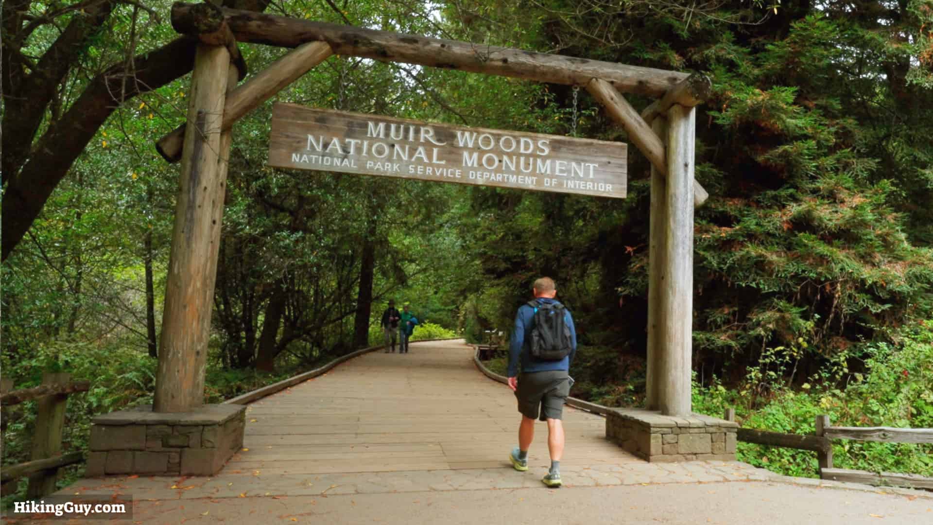
Where is the Bootjack Loop Trail?
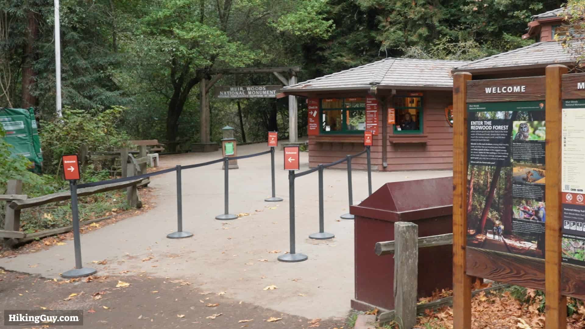
The trailhead for the Canopy View Trail is: Muir Woods Visitor Center, 1 Muir Woods Rd, Mill Valley, CA 94941
Muir Woods is not an easy place to visit.
- The roads there can be windy and narrow.
- There is limited parking, and you must get a timed parking permit to use the lots.
- Public transportation is limited.
- Private tours can be arranged, but you don't have a lot of flexibility.
If you have a car, I'd recommend first visiting the parking and public transportation website at GoMuirWoods.com. Try to get a permit as early as possible. They also have information on the shuttle that runs from the ferry terminal with a limited schedule.
Your other option is to ride-share there, and then taxi back. The problem is that there is no cellular service at the park. But you'll find a payphone at the visitor center (bring coins). I'd write down the number of a taxi company, or even try to book one before-hand.
Gear Recommendations
If you have hiking gear, bring it. Otherwise fitness clothing works. The trails are more primitive than the main loop; trail runners are your best bet. If you have trekking poles with you, they'll help on the climbs and descent. I'd bring 1-2L of water. And don't forget, there's no cellular service here, so having a satellite communicator will come in handy if there's an emergency.
Essentials I’m Using Now
- Garmin inReach Mini 2: Reliable SOS Everywhere on Earth
- Sawyer + CNOC Water Filter: Easy & Reliable Safe Water
- Nitecore NU25 Headlamp: Running late? Get home safe
- Altra Olympus 275: Favorite trail shoes right now, no blisters and very comfy.
- AllTrails Plus (30% off): Offline maps on your phone with the Plus level
- Full December 2025 Gear List →
A big thank you to Overwatch x Rescue for covering the travel expenses for this trip.
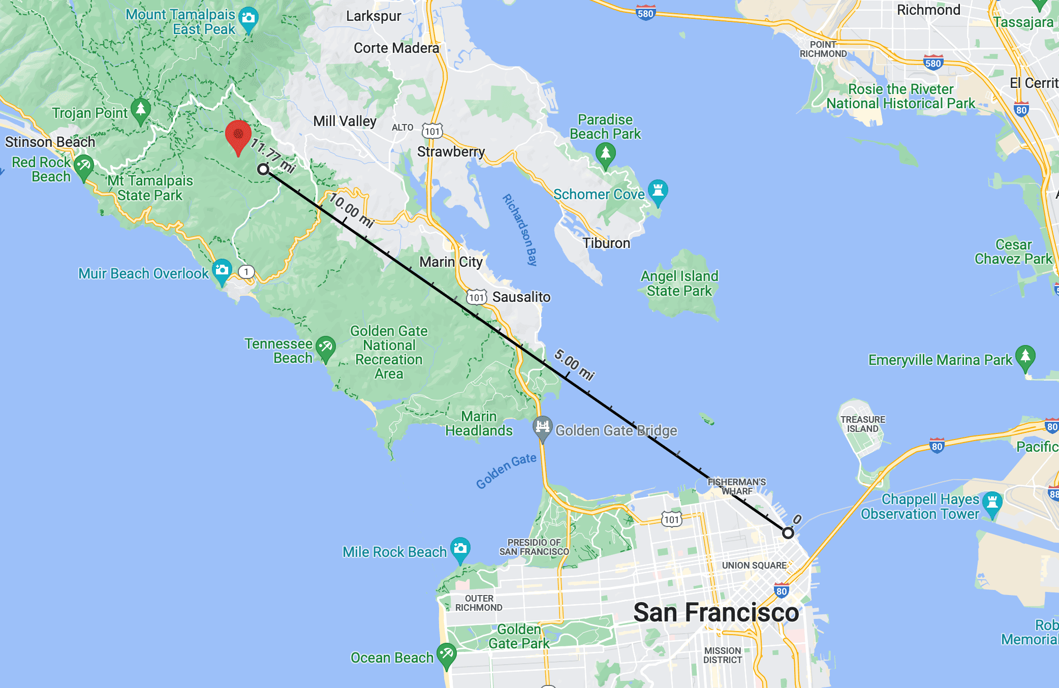
Bootjack Loop Trail Map
There's also a map from the Parks Service you can download here.
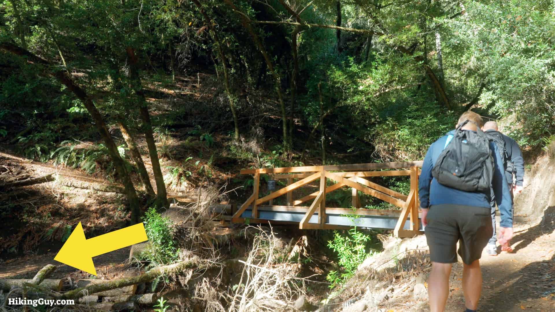
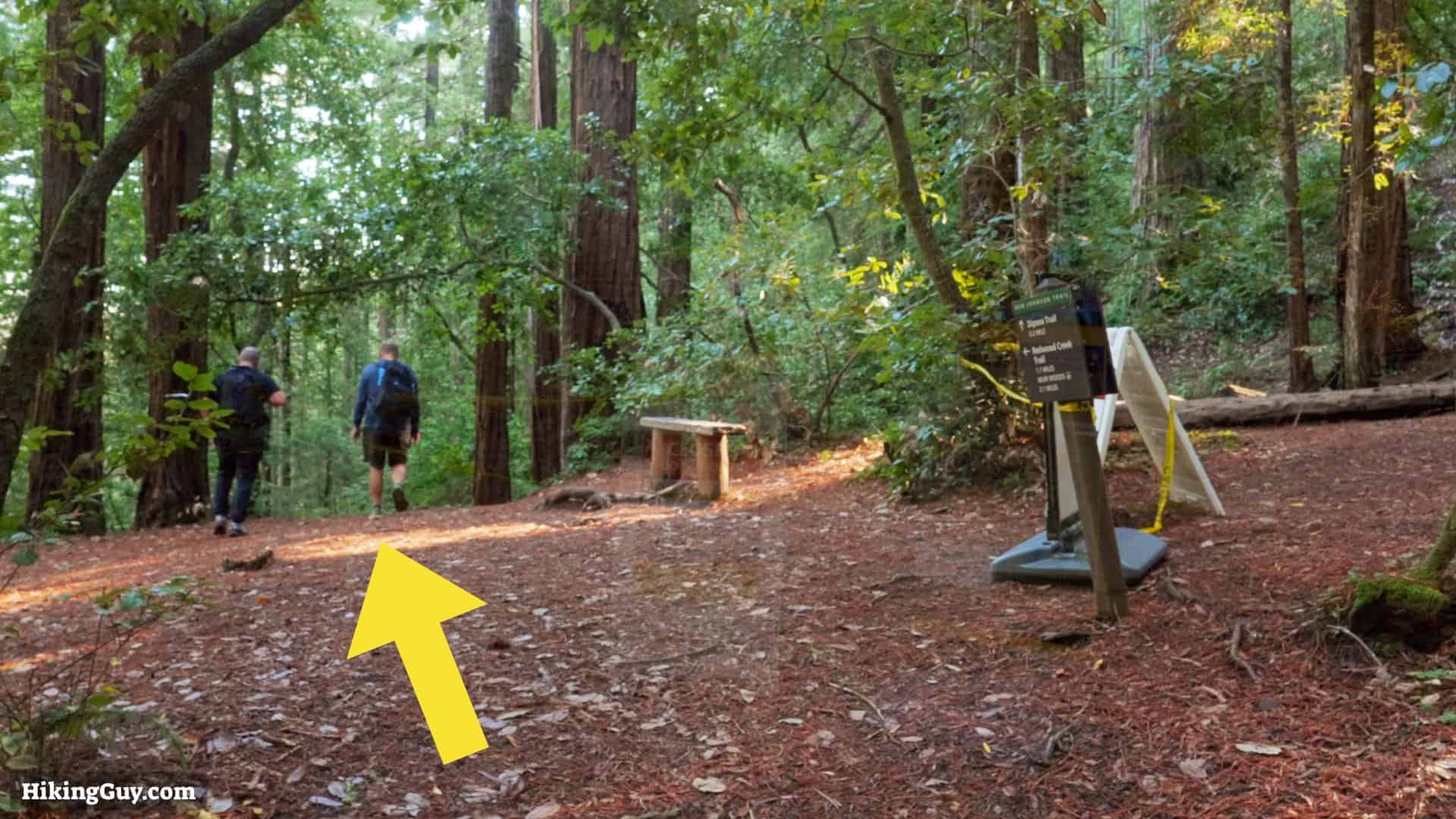
Bootjack Loop Trail Directions