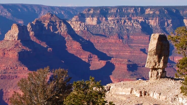

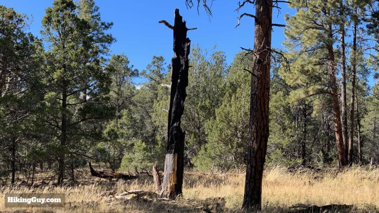
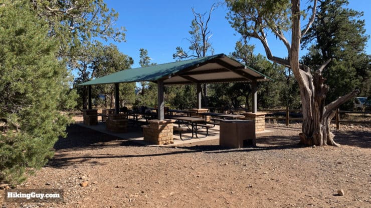
Hidden just a mile off the South Rim road, this easy hike to Shoshone Point is worth your while. The Shoshone Point Trail is a beautiful walk through a Ponderosa Pine forest to a serene picnic spot, and then to a hidden rock formation and Shoshone Point. If you want to get away from the crowds of tourists stopping at the roadside attractions, this short hike is for you.
- Turn-by-Turn Hike Directions & Video
- What to Expect on the Hike to Shoshone Point
- Tips on Weather, Parking, and Planning for the Hike
Shoshone is pronounced "show-show-knee."
Don't forget to check out my Grand Canyon hiking tips here!
How to Get to Shoshone Point
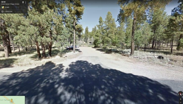
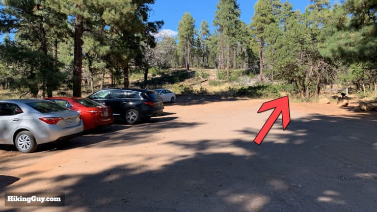
The Shoshone Point Trailhead parking lot is unmarked on the side of the road, just an 8-minute drive from the Grand Canyon Visitor's Center. If you're coming from the Visitor's Center, the parking lot is the first lot on your left after Yaki Point Road, about 2 minutes or 1.2 miles.
Use this trailhead address:
Shoshone Point Trailhead, Desert View Dr, Grand Canyon Village, AZ 86023
Gear for the Hike
This is more of an easy walk than a hike, and you can get away with everyday clothing here. If you do have fitness or hiking clothes, it will make the hike more pleasant. There is no water at the trailhead or at Shoshone Point, so bring 1L with you on the hike.
Weather can be extreme at the Grand Canyon. If there is snow and ice, don't hike all the way out to Shoshone Point. There are no guardrails at Shoshone Point, so stay off the ledges when there's ice.
Gear That I Love Right Now
Nothing is sponsored or promoted, just the actual gear that I use.


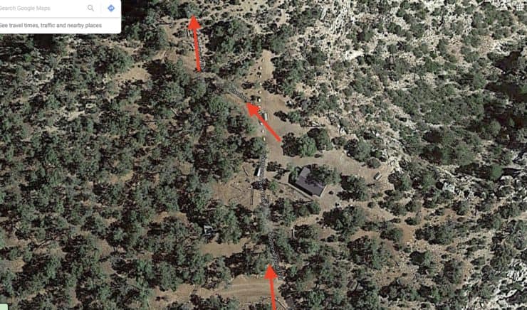
Shoshone Point Trail Maps
How Will You Navigate?
 Using the Apple Watch for Hiking
 Garmin Fenix 7 & Epix Review For Hikers
 How To Read a Topographic Map
 Garmin GPSMAP 67i Review
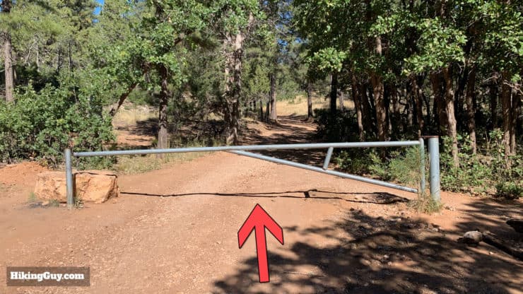
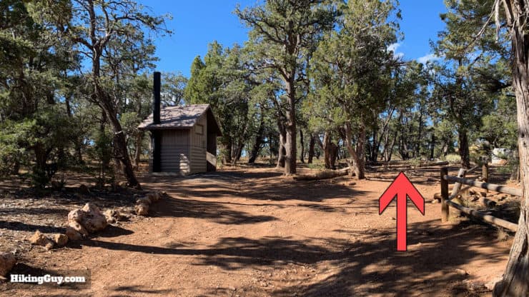
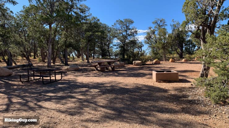
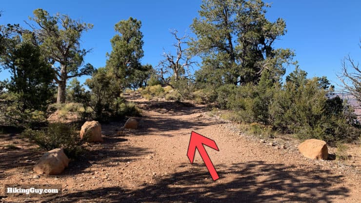
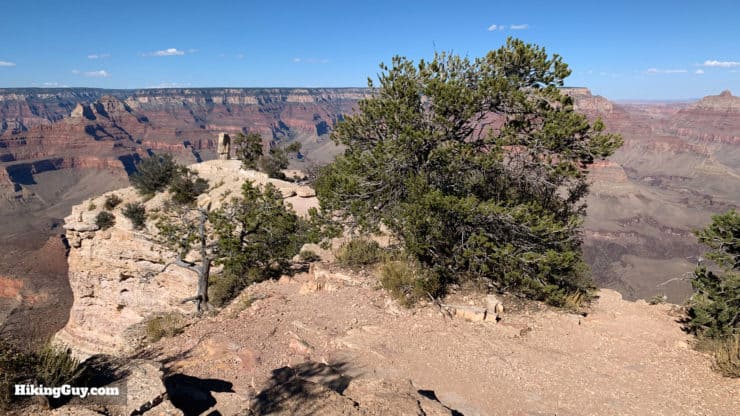
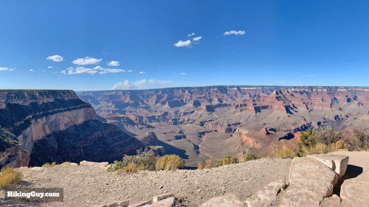
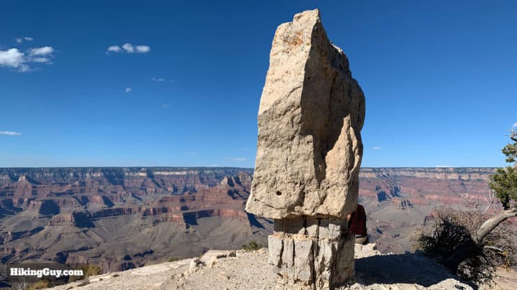
How to Hike to Shoshone Point
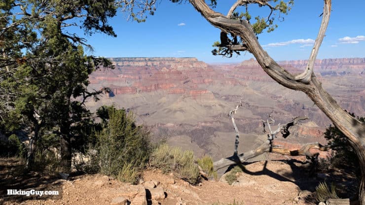
Shoshone Point is named after a tribe of Shoshone dialect-speaking Native Americans who would allegedly "offer their dead to the canyon" from the point.


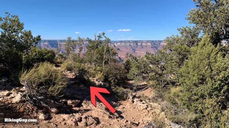
From here, you just hike back out the way you came in.
Need More Info?
- Have a question about the guide or want to see what other people are saying/asking? View the Youtube comments for this video. Leave a comment and I will do my best to respond.
- When planning, always check the park website and social media to make sure the trails are open. Similarly, check the weather and road conditions.
Related Guides
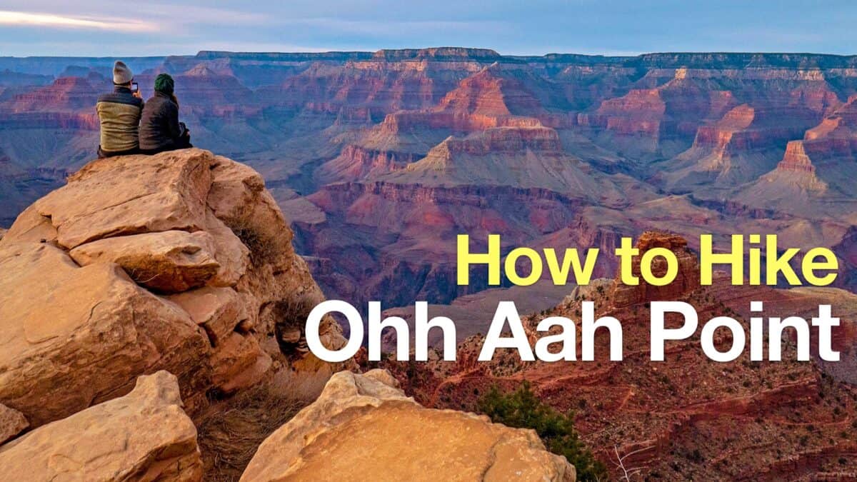 Ooh Ahh Point Hike
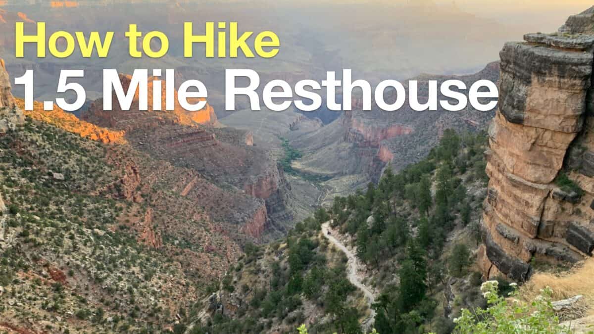 Hike 1.5 Mile Resthouse on the Bright Angel Trail
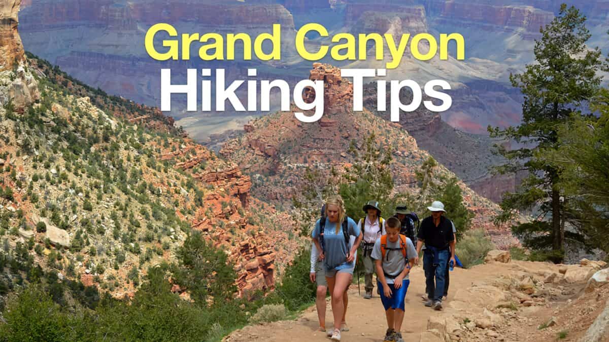 Grand Canyon Hiking Tips
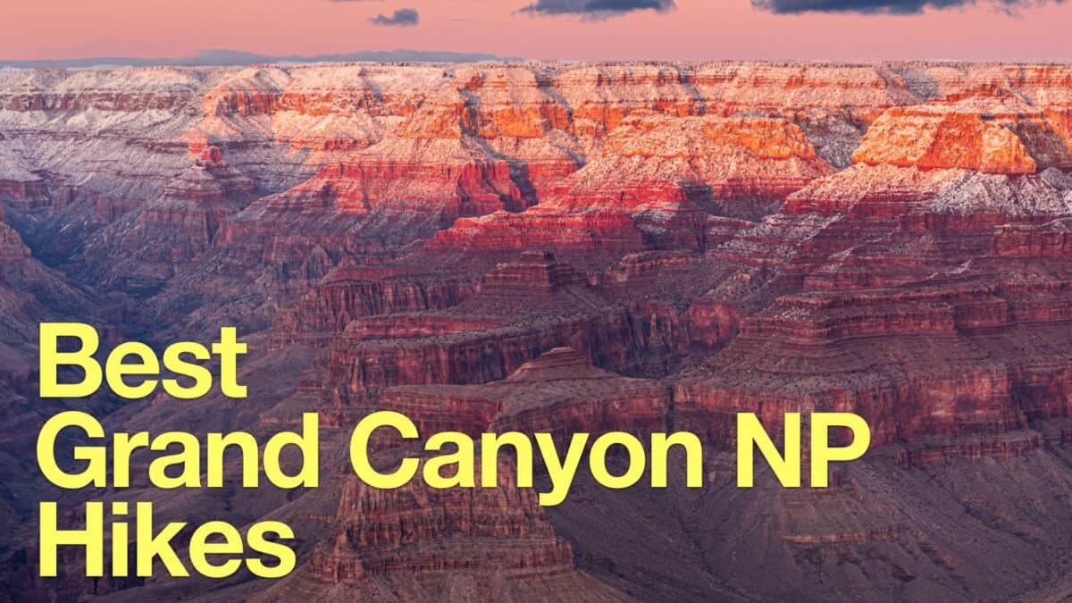 Grand Canyon Hikes
Popular Guides
 Best Hiking Gear 2024
 Hiking Boots or Shoes: Do I Really Need Hiking Boots?
 When to Hit SOS on inReach
This Guide Was Written by Cris Hazzard

Hi, I'm Cris Hazzard, aka Hiking Guy, a professional outdoors guide, hiking expert, and author based in Southern California. I created this website to share all the great hikes I do with everyone else out there. This site is different because it gives detailed directions that even the beginning hiker can follow. I also share what hiking gear works and doesn't so you don't waste money. I don't do sponsored or promoted content; I share only the gear recommendations, hikes, and tips that I would with my family and friends. If you like the website and YouTube channel, please support these free guides (I couldn't do it without folks like you!). You can stay up to date with my new guides by following me on YouTube, Instagram, or by subscribing to my monthly newsletter.