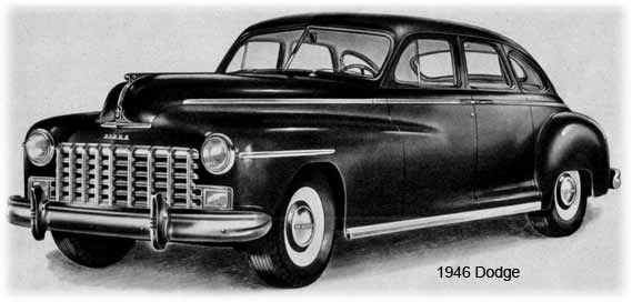
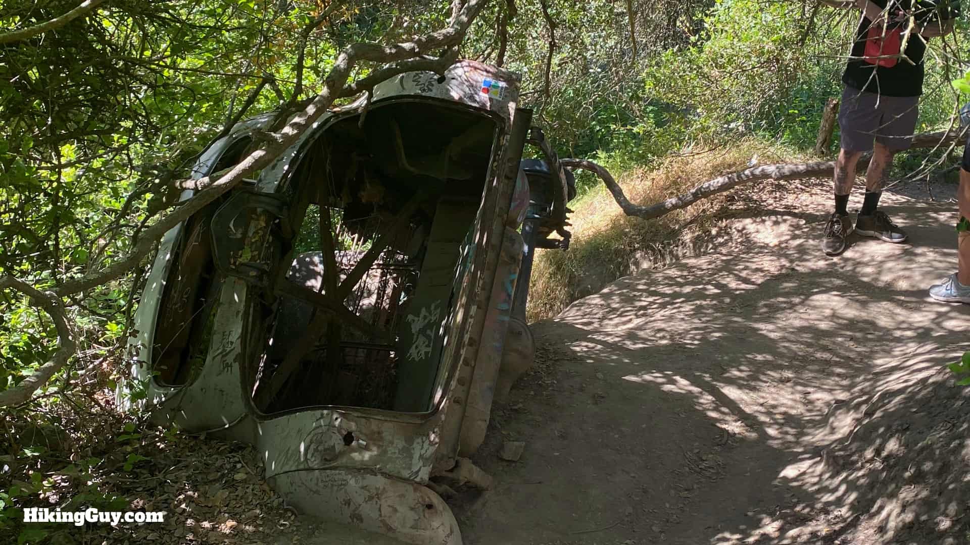
Hidden in the hills high above Laguna Beach, far away from any road, lies the fabled car wreck,' 1946 Dodge 5-passenger coupe. Visiting the car wreck became so popular that Aliso and Wood Canyons Wilderness Park officially made a trail to it in 2013. Today it's a fun hike, offering not only a cool vintage car wreck but also expansive views from Catalina to Mt Baldy. This guide has a 3.8 mile loop that makes the climbing a little easier, or you can do a shorter hike to the car wreck and back.
Where is the Car Wreck Trail?
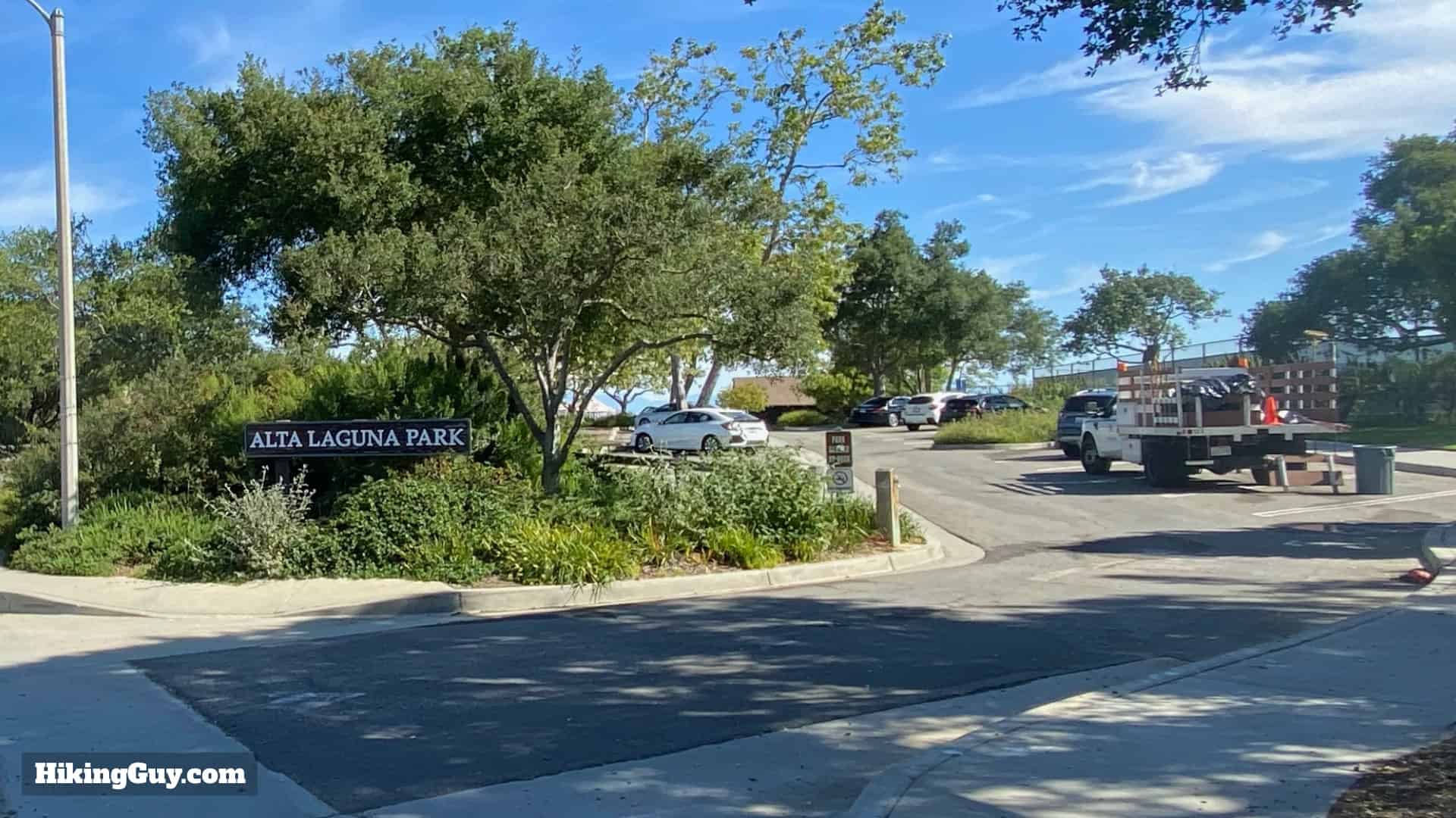
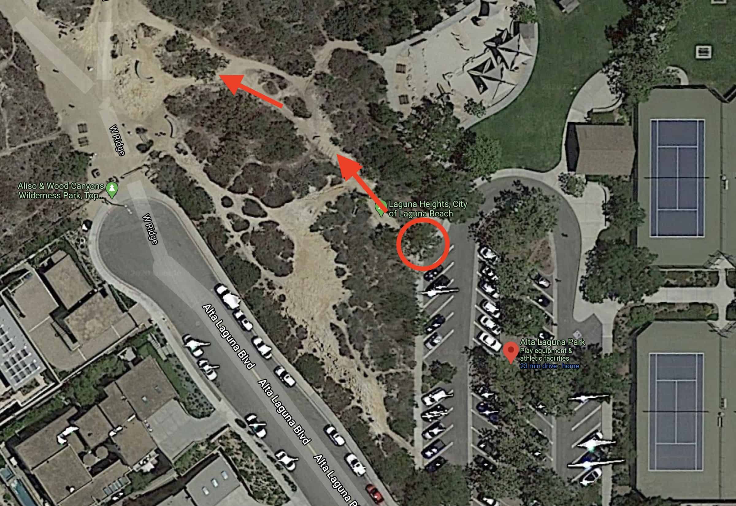
The hike to the Car Wreck Trail starts in Alta Laguna Park, about 1,000 feet above the ocean at Laguna Beach. From the parking area at Alta Laguna Park, you hike into Aliso and Wood Canyons Wilderness Park and then to the car wreck.
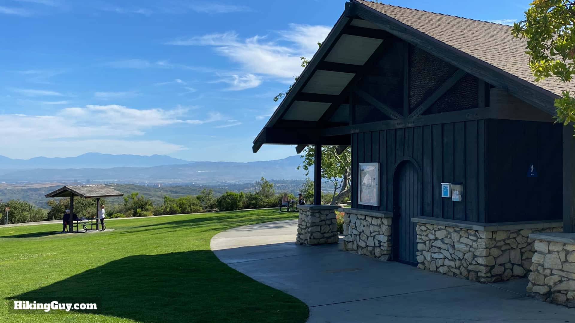
The parking lot at Alta Laguna is big, but is shared with people using the park's tennis courts and other attractions. If you can't find a spot here, there is street parking just outside of the park.If you need to use the bathrooms, there's a bathroom with the best view in SoCal at the end of the parking lot. You can also fill up with water here.
Gear for the Hike
The trails are rather steep, and there is virtually no shade, so it helps to bring the right gear. I recommend good hiking shoes or boots, at least 1L of water, sun protection, and trekking poles if you have them. If you don't have proper hiking gear, you can certainly get away with fitness clothing, but don't forget the water. Leave at sunrise before it gets too hot and crowded for the best experience.
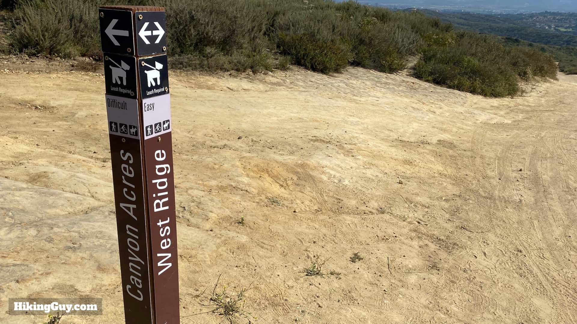
The trails are all well marked with these posts. With the exception of a few little wrinkles, you should be able to confidently navigate the big trail junctions.
For me the toughest part of this hike is doing the descent first, and then having to climb back out.
3d Map
From the 3D view you can see how the hike starts up at Alta Laguna Park, heads down the ridgeline (with incredible views), and then into the canyon by the car wreck. You then loop back up Mathis Canyon Trail. Mathis Canyon is steep but not as steep as the Car Wreck Trail.
Hike Brief
Here's the "before" picture of the wrecked car. Photo Allpar
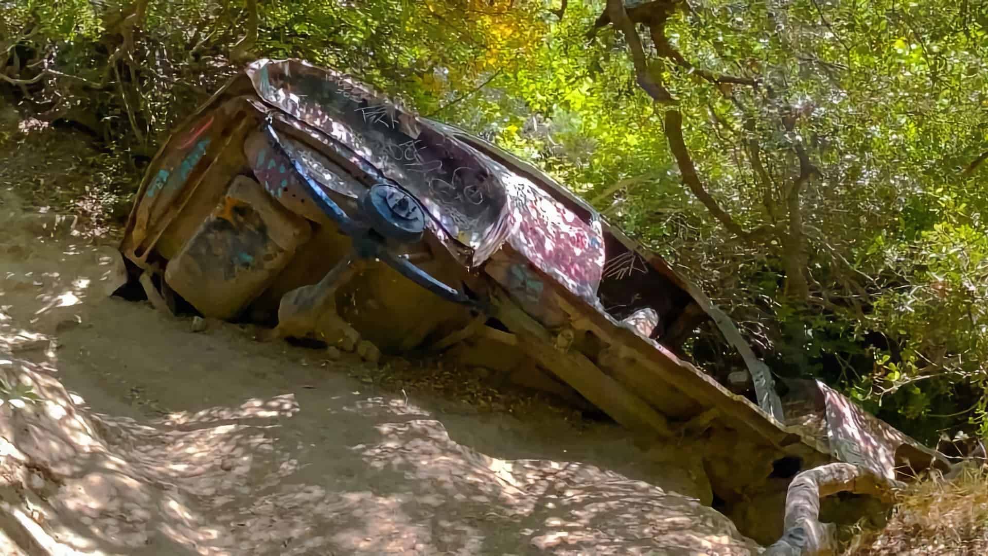
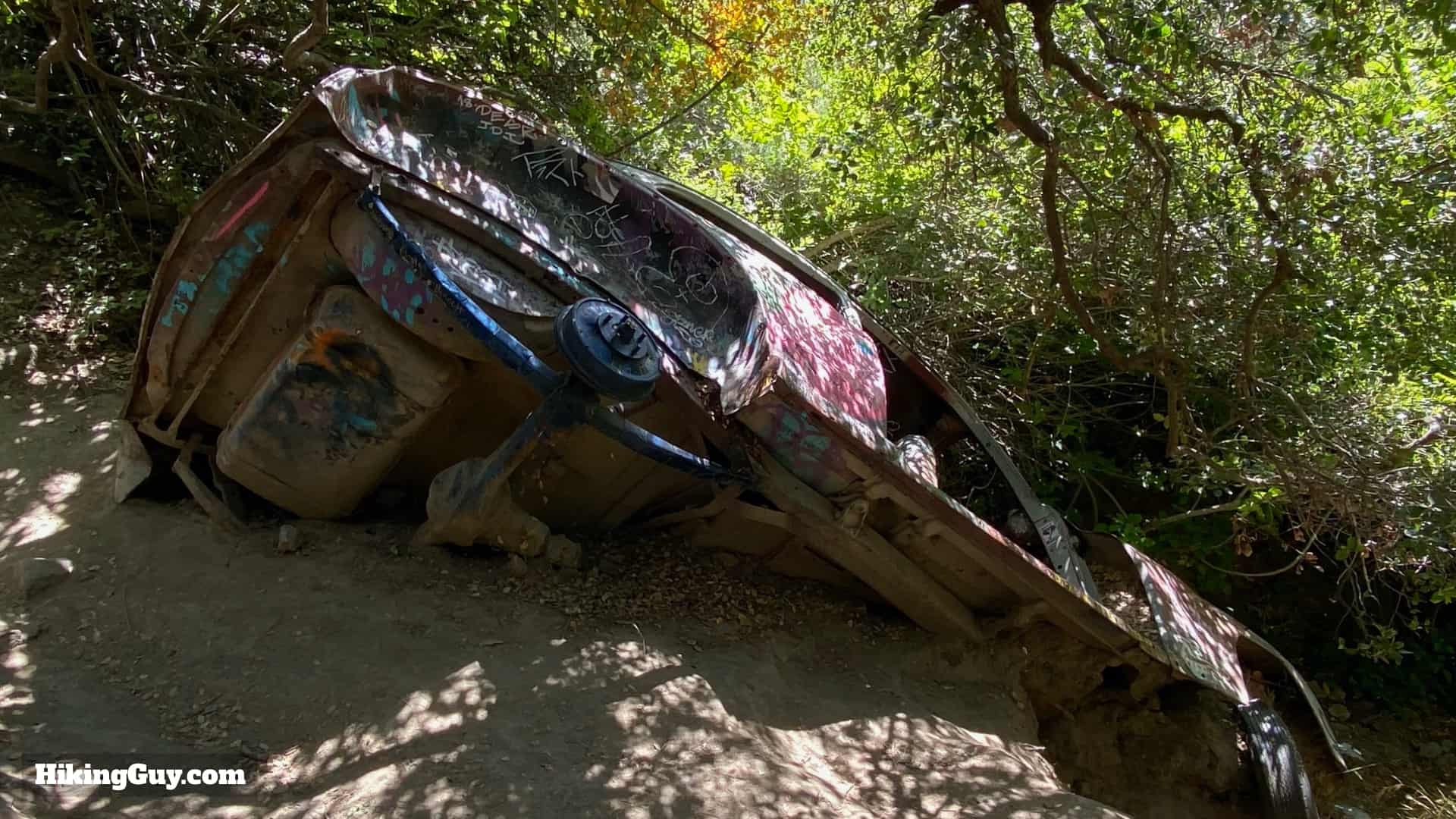
The car wreck is a 1946 Dodge 5-passenger coup. In 1946 they sold for between $1,200-1,700, depending on how fancy you went. Innovations on this 1946 model include electric wipers and replaceable oil filters.
How did the car get here, in the middle on nowhere? There's no official answer, but it's speculated by local historians that it ended up here in the 1960s. At the time, the dirt roads in the hills around Laguna Beach were popular spots for pop-up hippy concerts and hangouts. The likely scenario is that this Dodge was in the hills then and got washed down into the canyon during one of the bigger flash floods caused by heavy rains. That's the theory, but no one really knows for sure.
The hike makes a stop at the scenic "Top of the World," a high point in the area that actually sits on top of a buried reservoir. So it's more of a "Top of the Reservoir." The 3 million gallon tank, built in 1996, is gravity fed and acts as a water supply to fight fires.
The "Top of the World" hill lined up nicely with the takeoff path from the (now closed) Marine Corps Air Station El Toro, and planes have crashed here over the years. Some remains of aircraft used to be visible if you really looked, but I believe the park has removed them now.
Car Wreck Trail Hike Directions
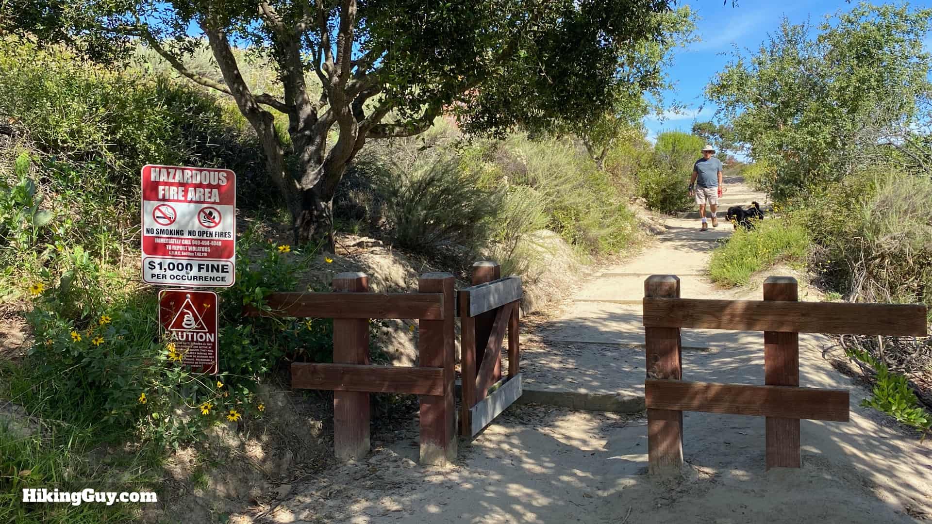
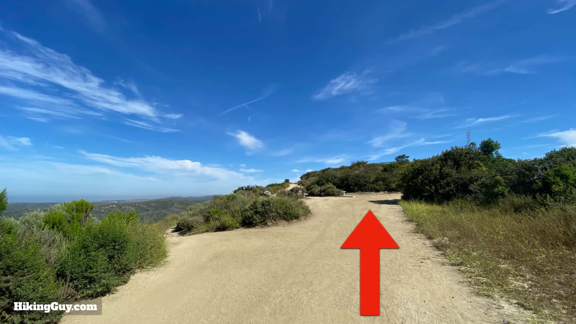
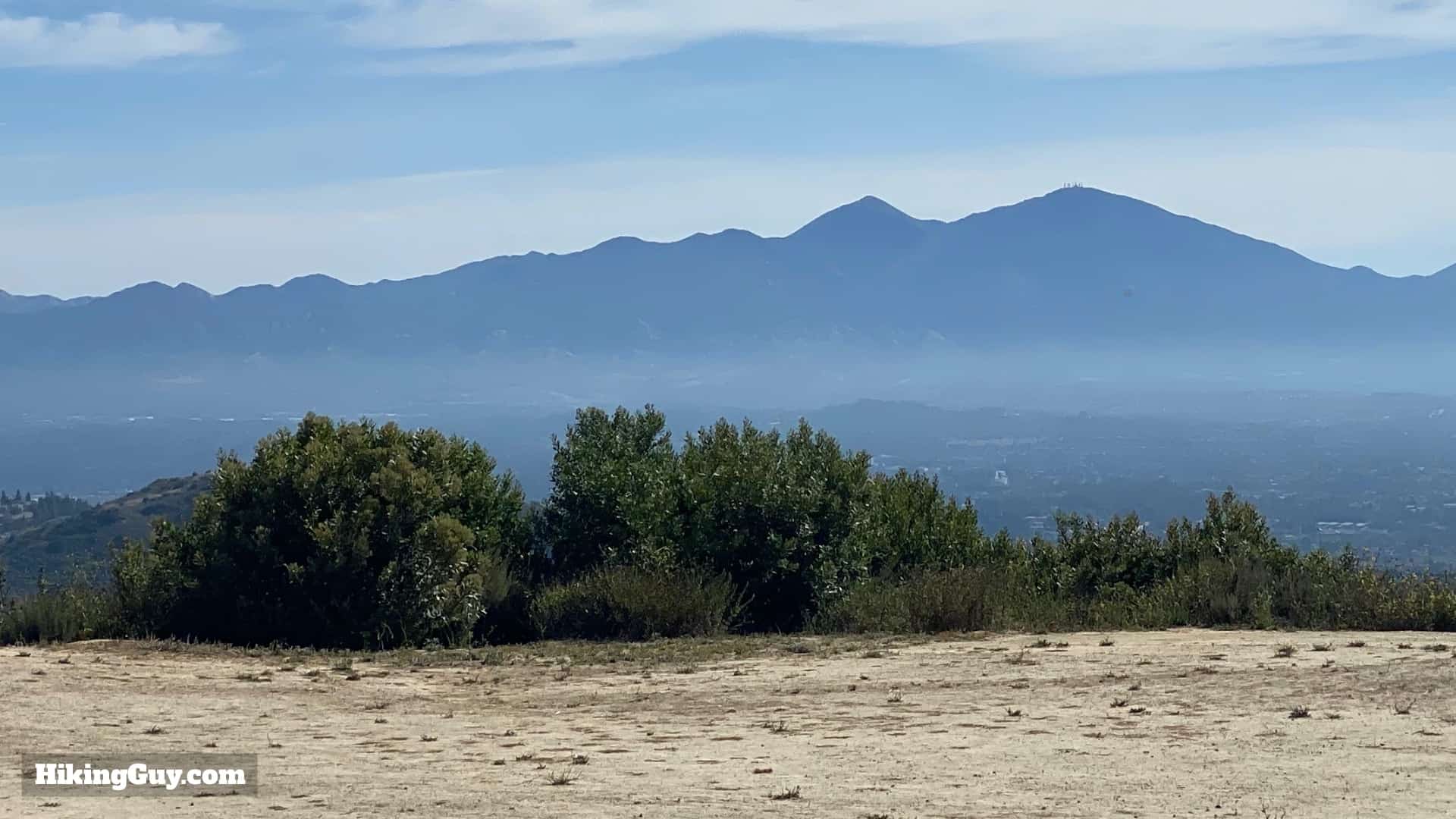
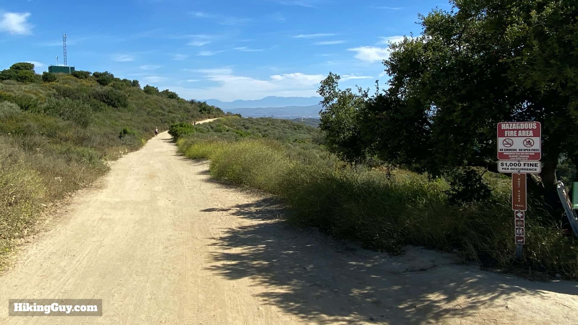
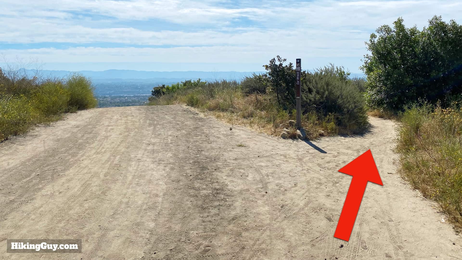
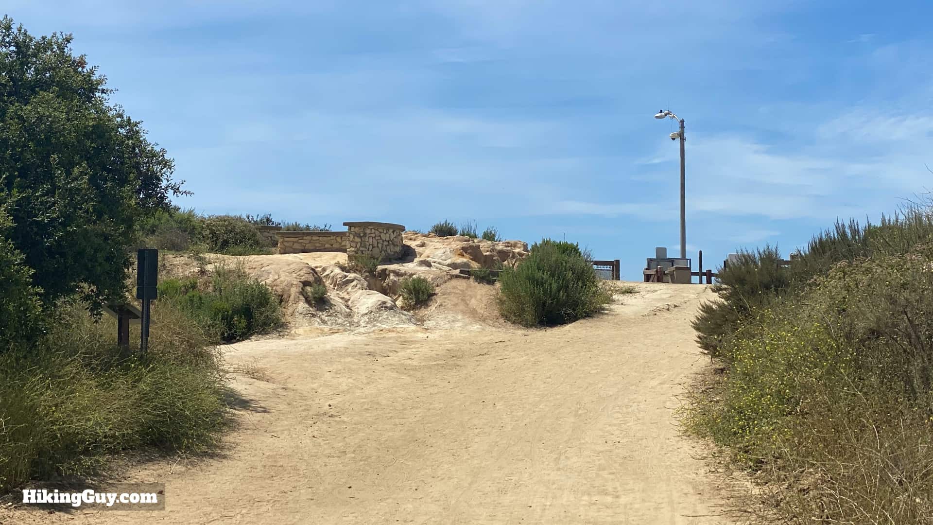
From the parking lot, the actual start of the hike is in the corner here. For the first minute or two, we'll be following this little connector trial around to the bigger junction.Head through the gate at the trailhead in the northwest corner of the parking lot.Follow the trail, keeping left.You'll come to a low wall at a big trail junction. We'll start by doing a side trip to Top of the World, which is the trail on the left. When we are finished there, we'll come back to this junction and head down the other trail (West Ridge Trail) towards the car wreck.The trail winds up and around to Top of the World, which is where the antenna is located.Avoid the side trails and keep going straight to the top.When you get to the top, enjoy the views. To the west you'll see the Pacific Ocean and on a clear day, Catalina Island.To the east, you can see the twin peaks (Modjeska and then Santaigo) of Saddleback Mountain.And to the north, Mt Baldy and Angeles National Forest.Once you're done soaking in the views, head back down the hill to the junction where we were earlier and make the hard left onto West Ridge Trail.
Keep an eye out for mountain bikes that share the trail with you.
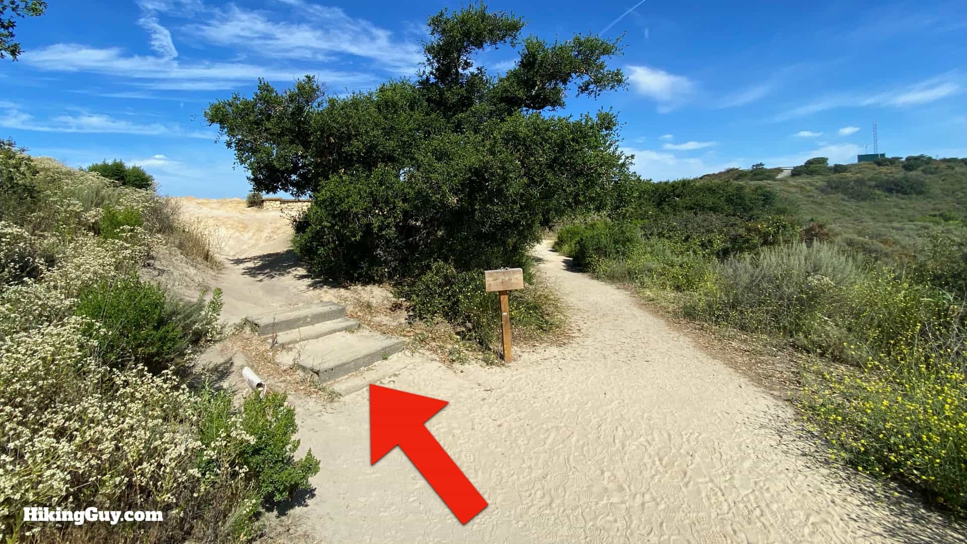
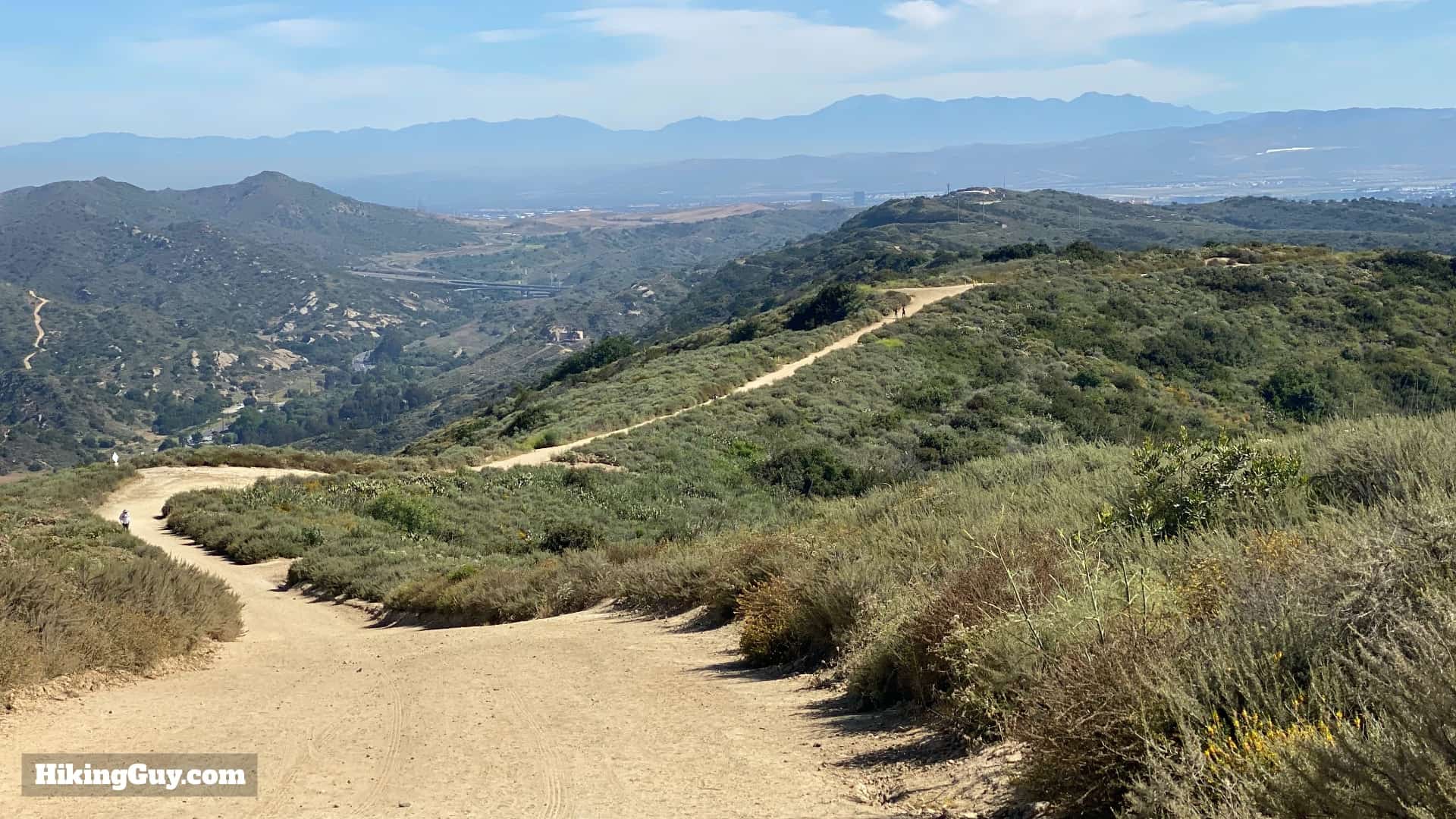
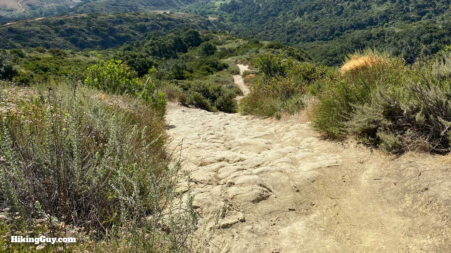
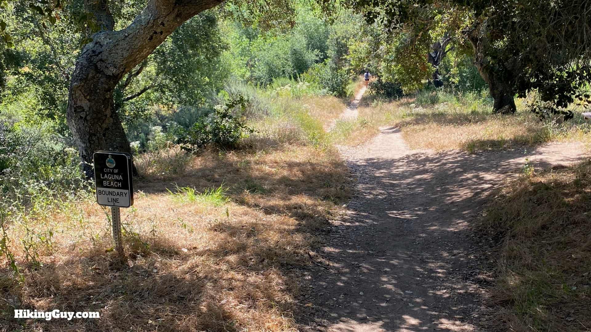
Now you start the nice long downhill to the car wreck. Just remember that you'll have to climb back up this to get out.The views from the West Ridge Trail are spectacular.Avoid any small side trails and stay straight on the main (wide) trail.The West Ridge Trail continues to descend.When you get to the t-junction with the Mathis Canyon Trail, make the right.You'll see a sign for Mathis Canyon Trail too.Shortly after getting on Mathis Canyon, look for the small trail turnoff to the right.And again, there's a nice trail for the Car Wreck Trail at the turnoff.The Car Wreck Trail is much narrower and rugged than the previous trails you were on. Head downhill.The trail is steep and rocky, but very doable. Just go slow and watch your footing.Toward the bottom of the climb the trail heads into some trees.And right after you go into the trees the car wreck is on your left.Today the car wreck is covered with graffiti and pretty much picked clean, but it's still interesting to look a for a few minutes.Keep going past the car wreck and in a minute or so you'll see the door and a trail sign. Make the sharp left here.
If you want to do the shorter hike, just turn around and go back the way you came from here.
The trail becomes mellow and flatter as you hike through the shade of oak trees.Keep hiking over the bridge as the trail levels off.When the Car Wreck Trail ends, make the left back onto Mathis Canyon Trail.And now it's payback time; time to hike back up and out. Mathis Canyon is steep but not rocky. Take it easy and take a break if you need to.Mathis Canyon consistently goes up and up.Towards the end of Mathis Canyon you'll see the junction where you took the Car Wreck Trail.And shortly after that, the junction with the West Ridge Trail. Take the left to retrace your track from the beginning of the hike.One last climb up the West Ridge Trail to get back to the start.And then the trail levels off and you'll be back at our starting intersection! You did it. From here you can go left back to the parking lot, or right back to Top of the World for another look.