Laguna Coast Wilderness Park is a real gem in Southern California. Its 7000 acres of protected land are one of the last bastions of coastal wilderness. This park is what Orange County coast looked like before man started developing here. You'll enjoy pristine coastal sage scrub, ridges with panoramic views, wildlife including over 40 endangered species, and some unique ecology. The park has over 40 miles of trails, and this loop of 7.6 miles is what one park ranger once laid out for me as the "best of " loop, giving you a taste of everything the park has to offer.
The parking lot is usually open from 8am-5pm. Check the park's website for any closures or alerts.
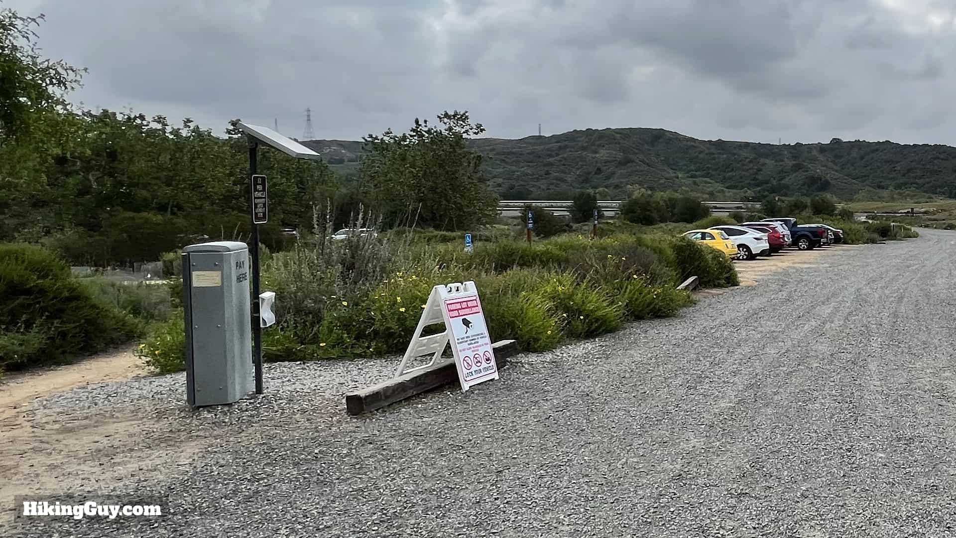
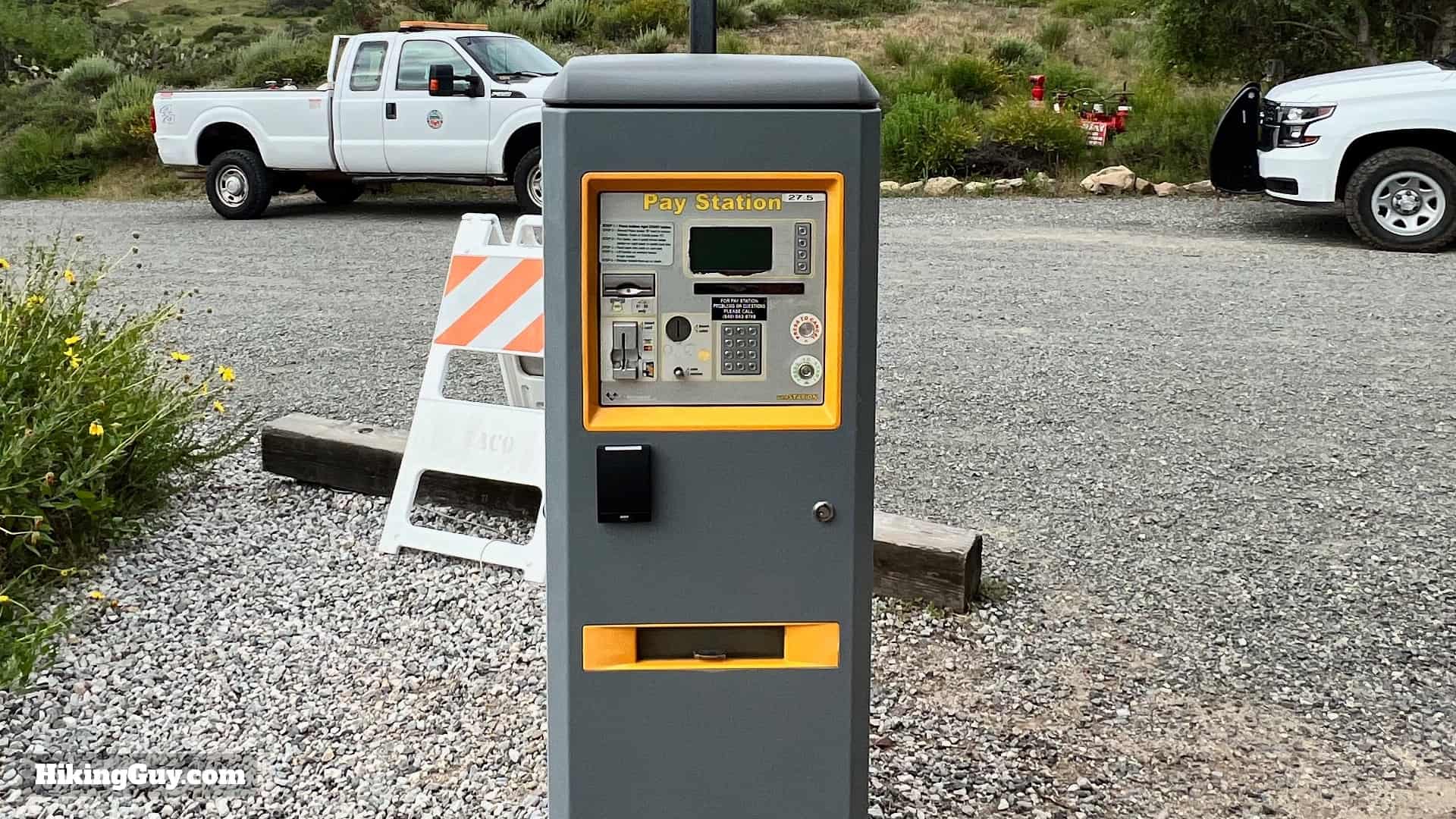
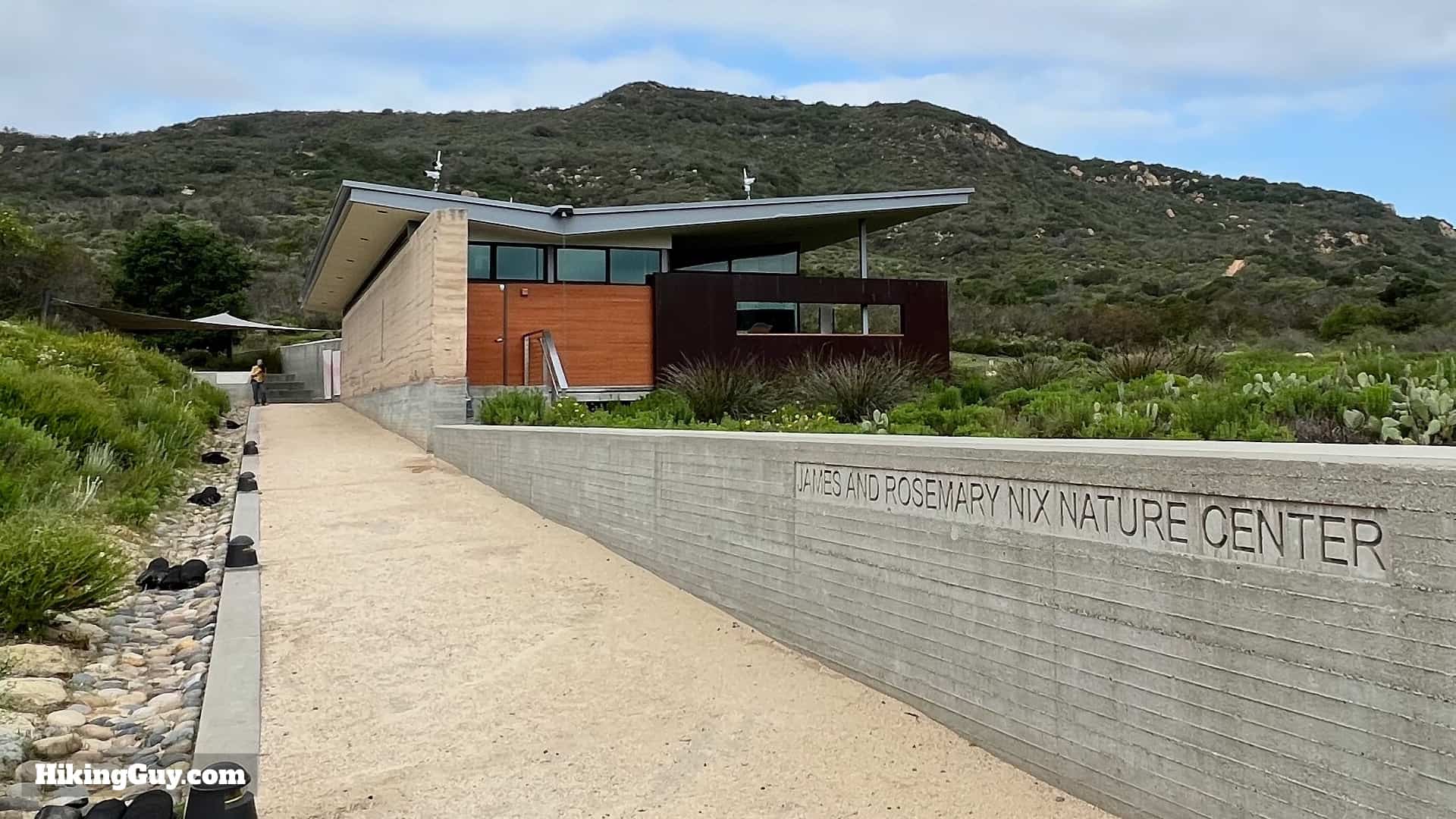
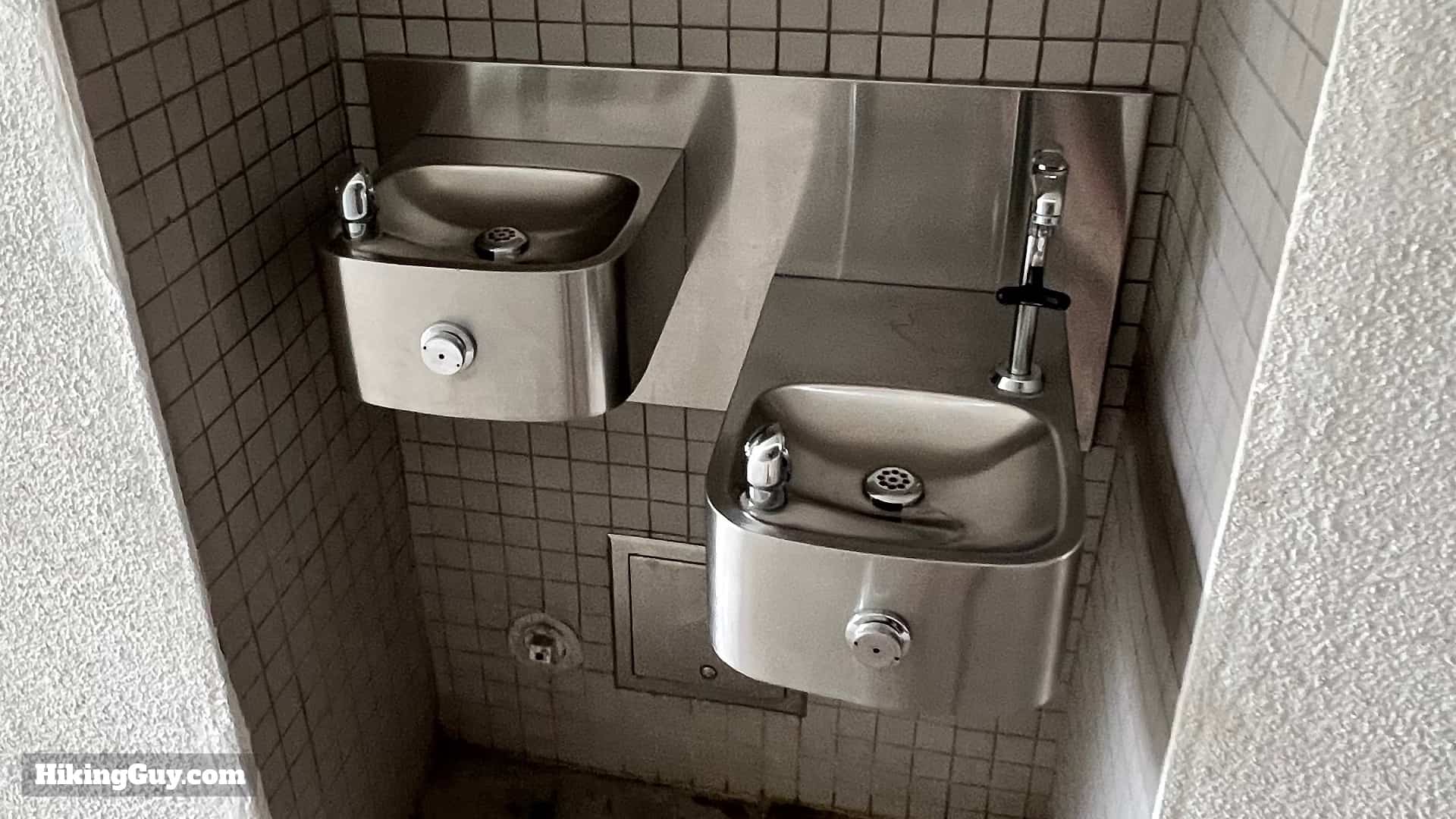
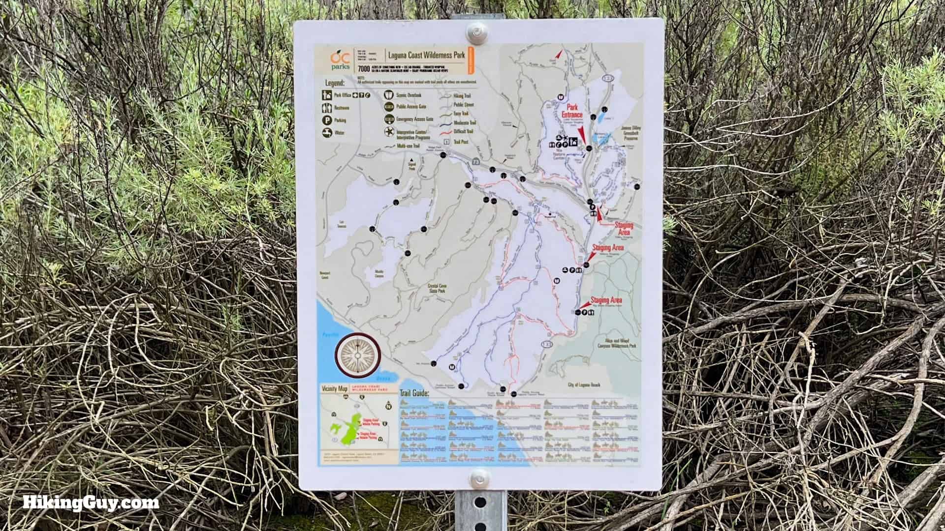
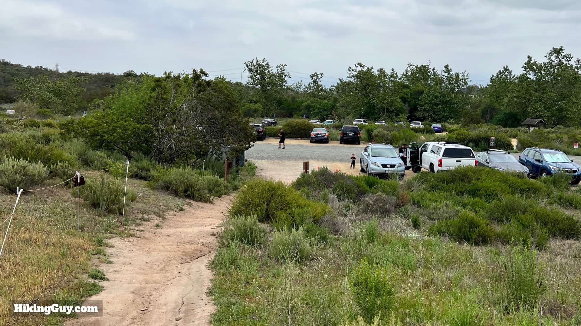
There's a decent sized lot with some overflow parking around the loop. On the weekends the parking lot can fill, in which case they close it. Try to get at opening or later in the afternoon for your best entry chances.You can pay for parking at the kiosk, which takes credit cards. Put the receipt on your windshield.Stop by the Nix Nature Center, located at the end of the parking lot.The Nix Center has well-done interpretive displays, free trail maps, and a list of wildlife recently seen.The Nix Center also has water fills and probably the nicest bathrooms that you will ever encounter at a trailhead.
Gear For the Hike
You can get away with fitness clothes here, but using proper hiking gear is a better bet. I bring 1.5 L of water and trekking poles for the steep sections. In the summer it can get very hot and exposed; it's usually warmer and drier than the nearby coast.
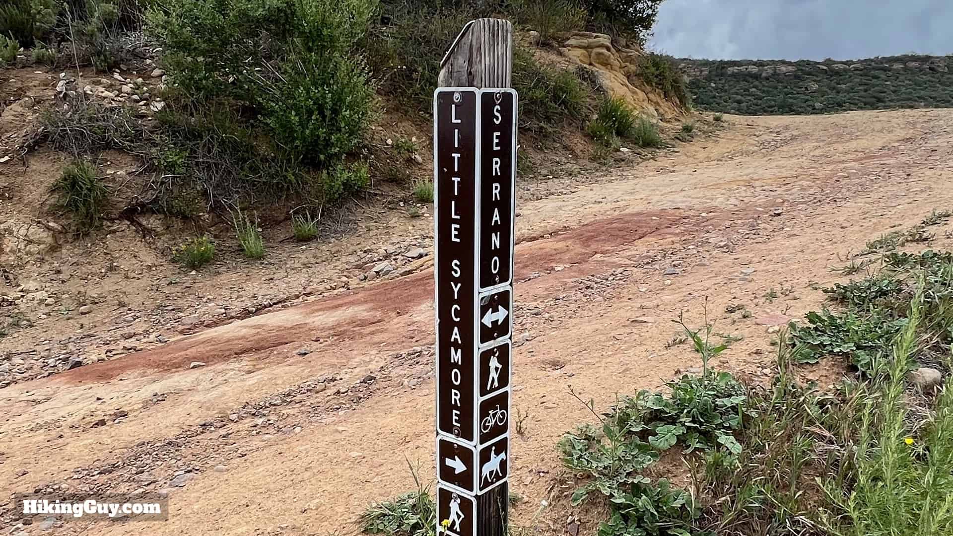
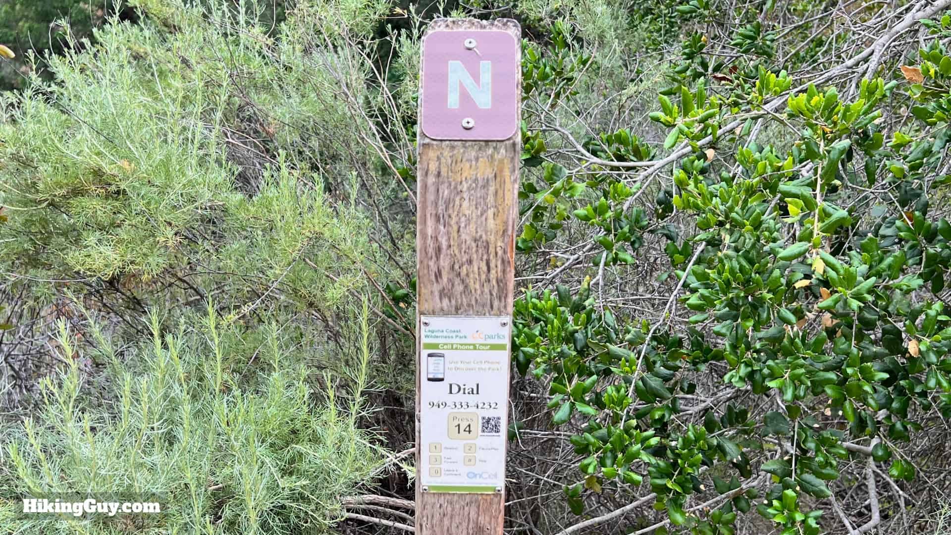
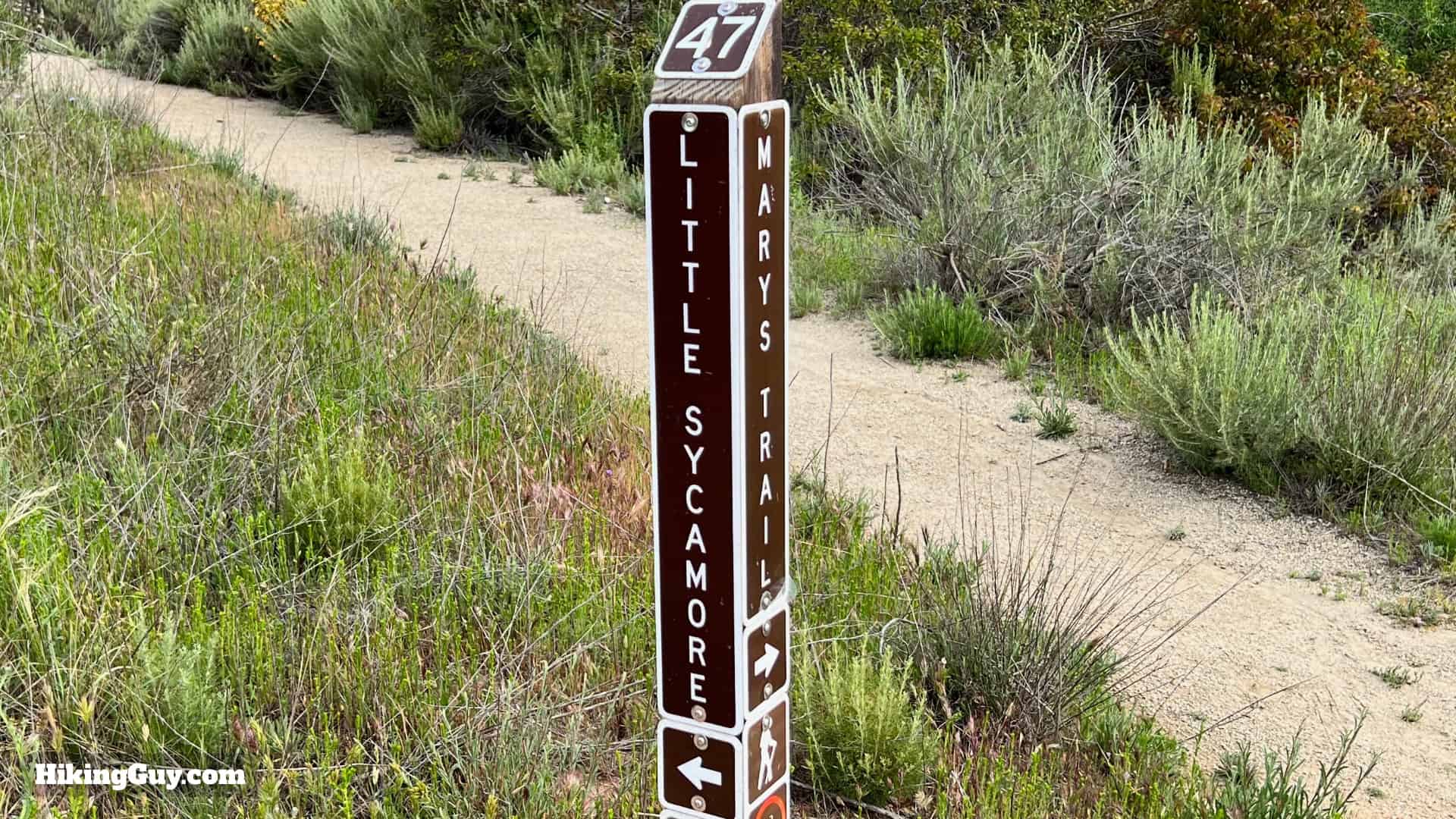
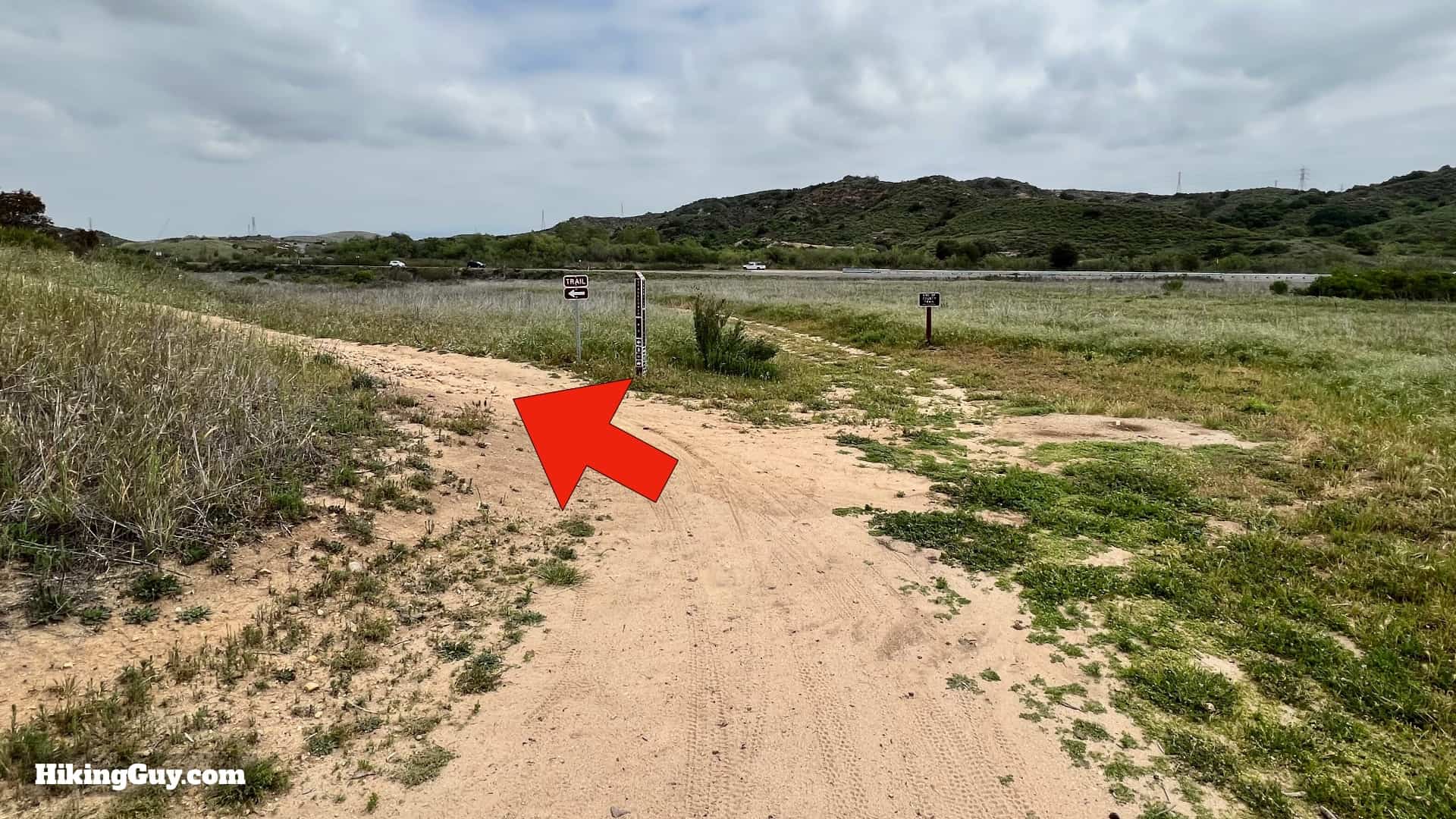
If you don't pick up a map at the Nix Center, you can still check them out as signs at many important intersections along the hike.The trail junctions are all marked with these signs, which include the trail name.There are also some interpretive displays along the Laurel Trail. You call the number listed on the post, and you can get an audio brief. Note that reception isn't always great in the areas where these posts are, but if you're interested, give it a try!
Even though there's a climb in the beginning and end, overall, it is a rolling hike with lots of ups and downs.
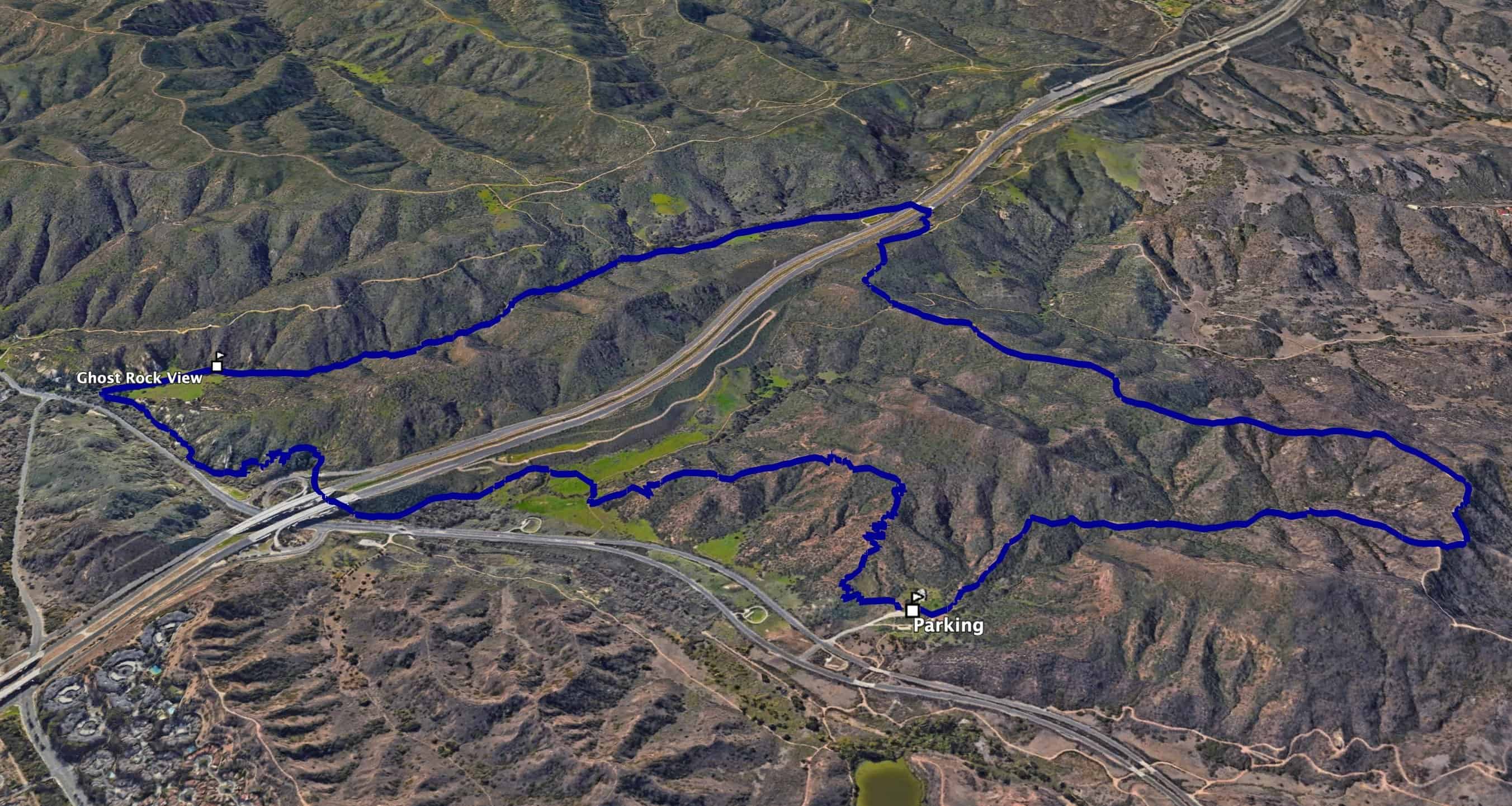
3D Map
We're going to hike in a counter-clockwise direction, climbing up the ridge and then making a long descent back down by Ghost Rock. From there, we parallel the CA-133 road back to the Nix Center.
A Big Thank You
James Dilley, the champion behind all the pristine wilderness that you can now find in the hills around Laguna Beach. Photo LA Times
You're mistaken if you don't think one person can make a difference. In 1968, Laguna Beach resident James Dilley formed Citizens for the Greenbelt, dedicated to creating a natural area around Laguna Beach. And although Dilley tragically died before the parks were a reality, Dilley's idea grew into a much bigger movement than he probably ever imagined. The greenbelt movement stopped development, encouraged residents to raise their taxes to buy parkland, and recruited the help of local, county, state, and national governments to form other parks, including Crystal Cove State Park. There was even a proposal to make this area a National Park.
So if you want to leave a legacy of wilderness and parks for your grandchildren, you can probably accomplish more than you can imagine. Just get the ball rolling.
Best of Laguna Coast Wilderness Hike Directions
This is a sensitive ecological environment. It's important to stay on the trail at all times. Off-Trail hiking is not permitted.
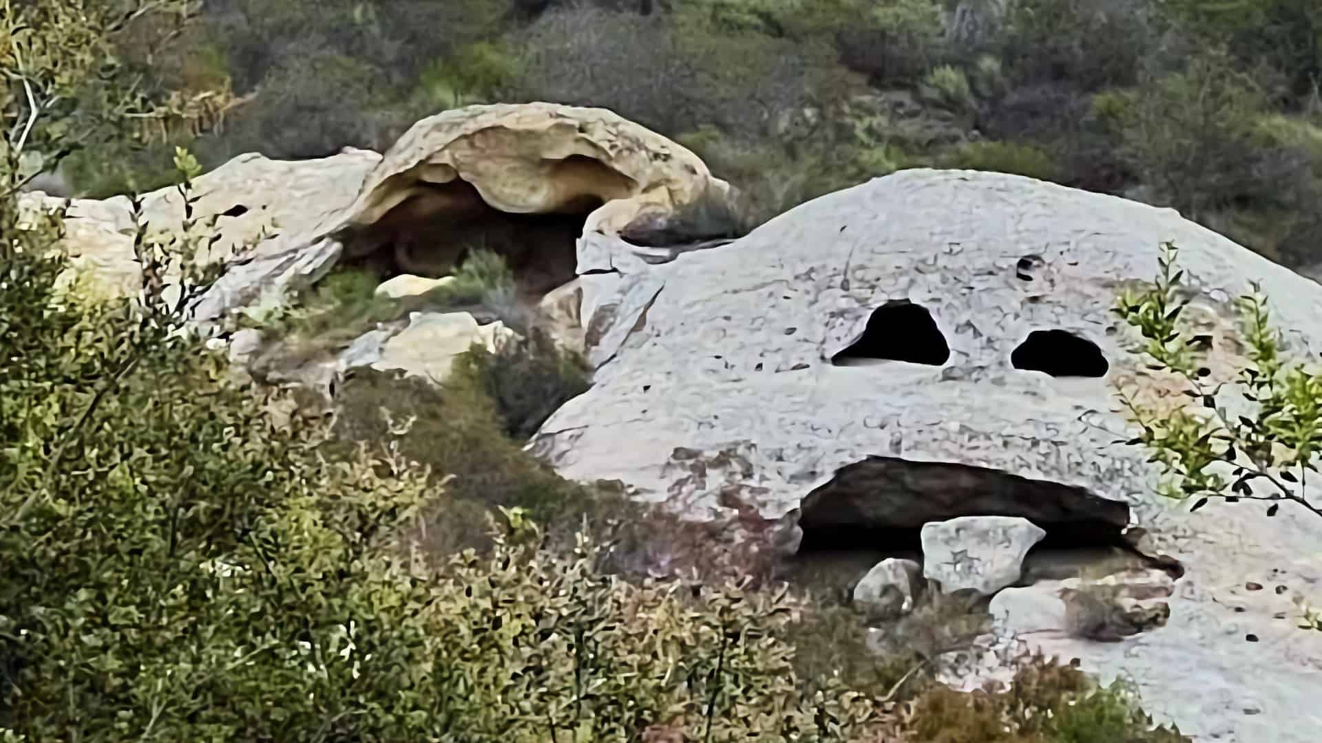
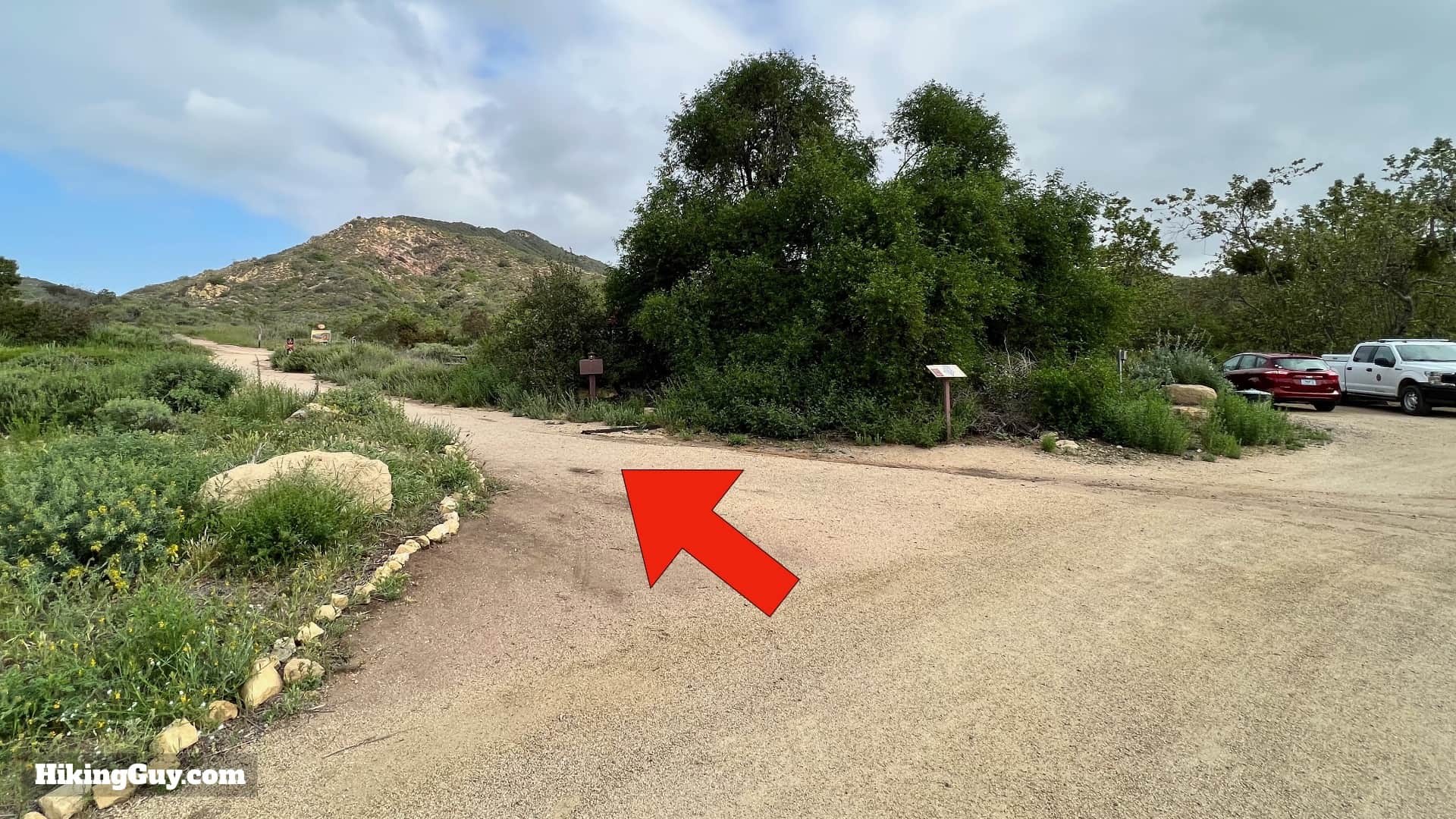
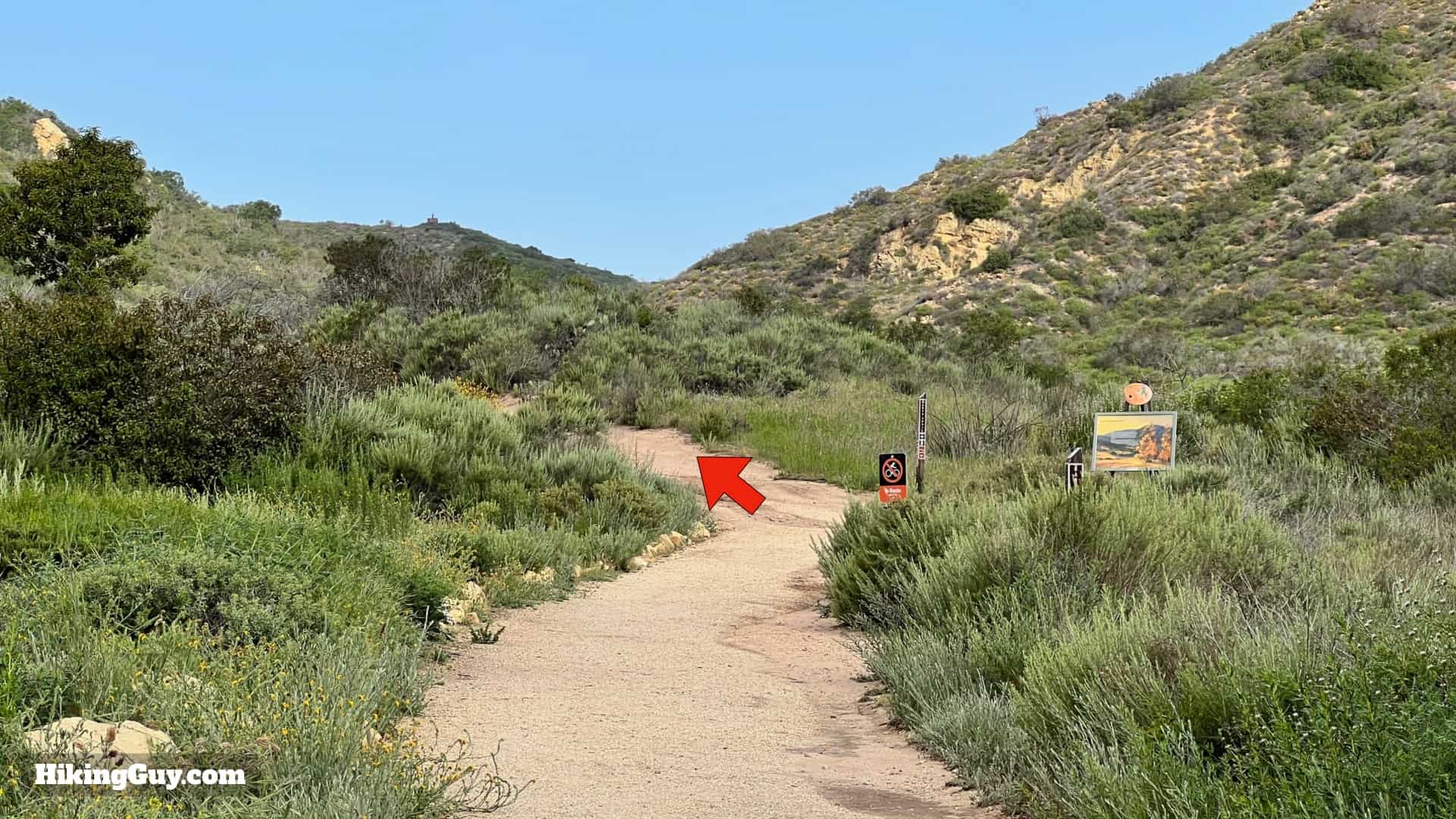
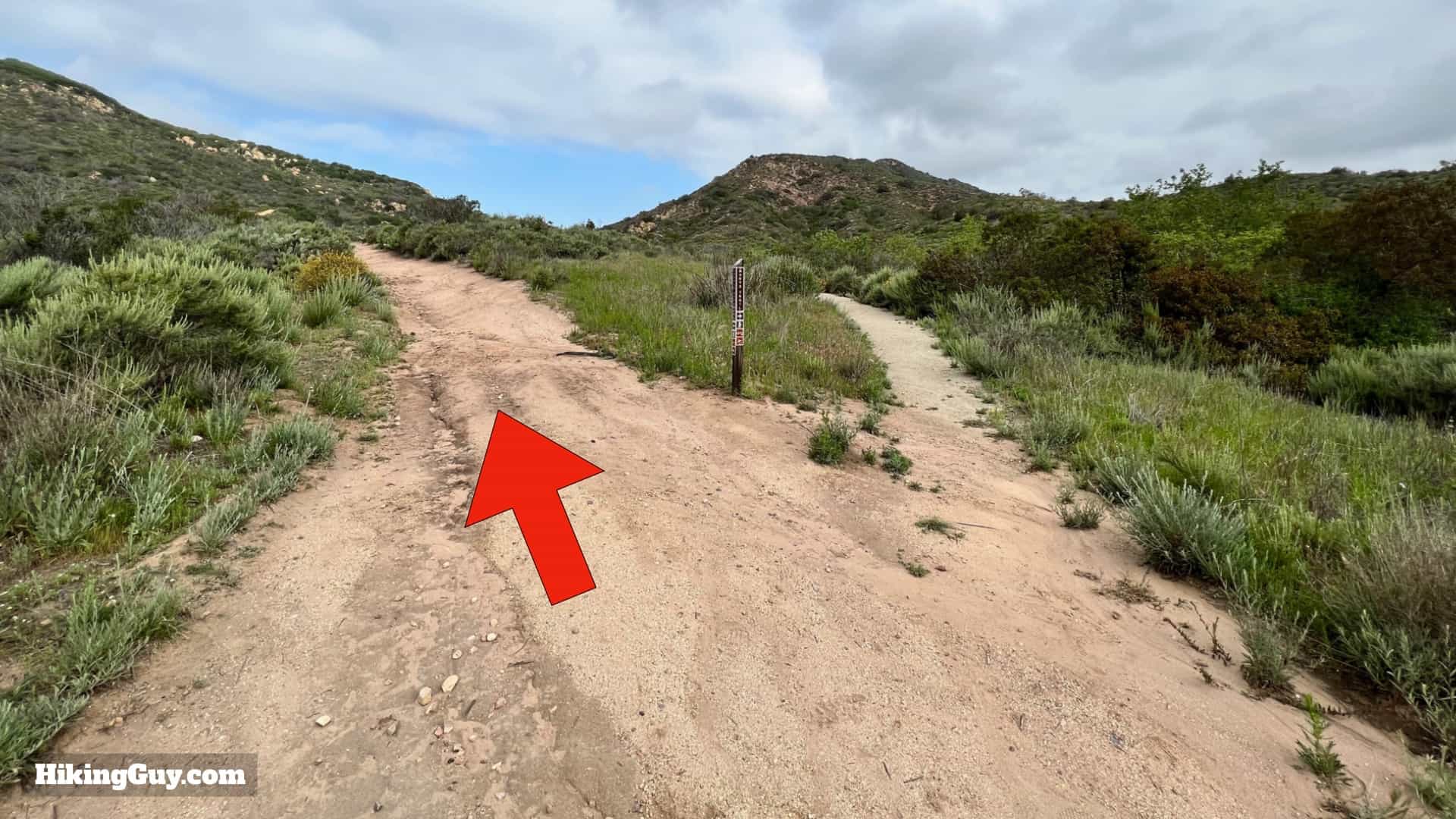
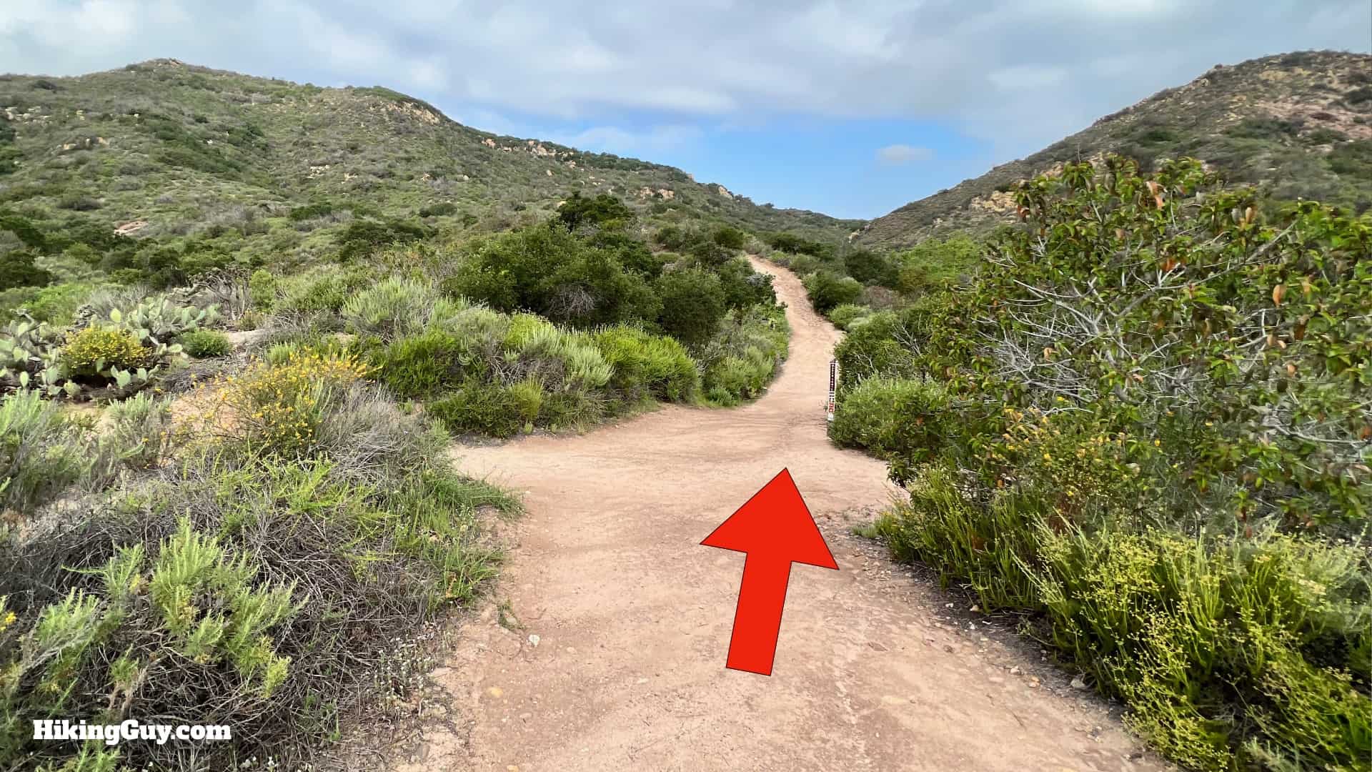
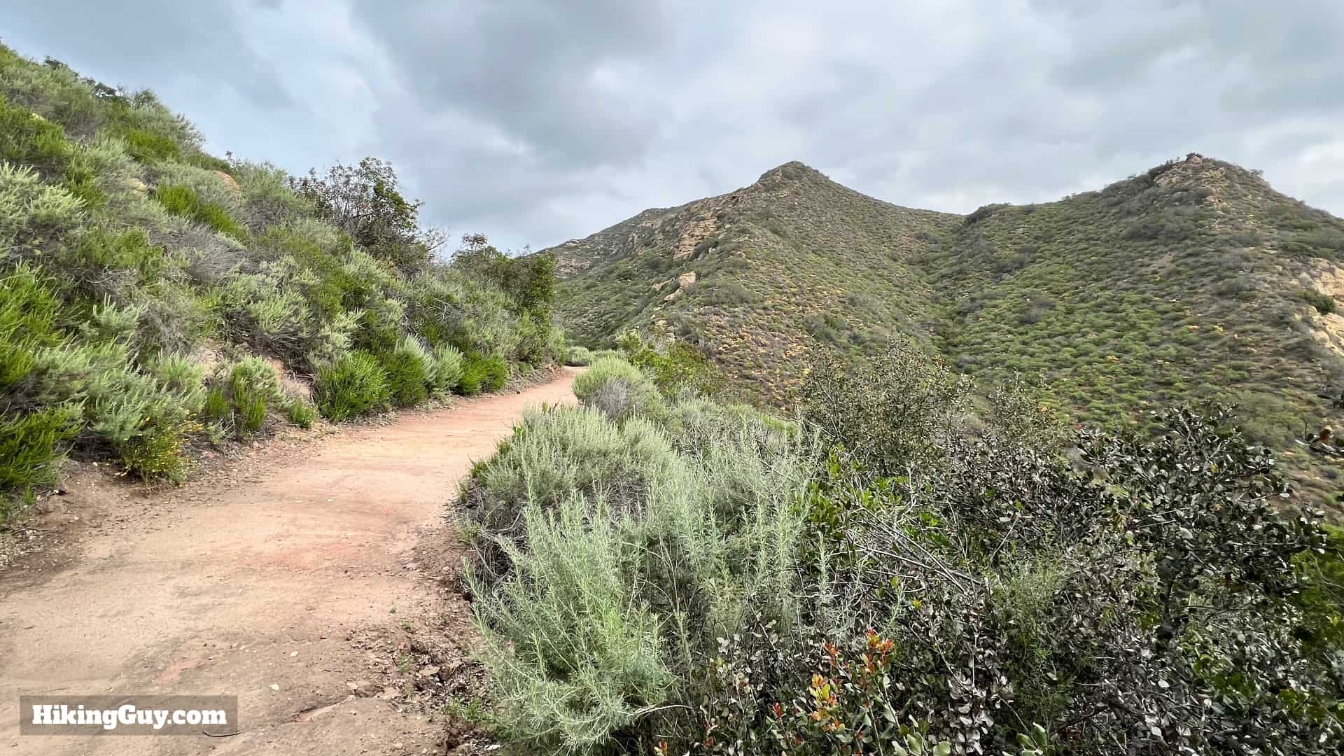
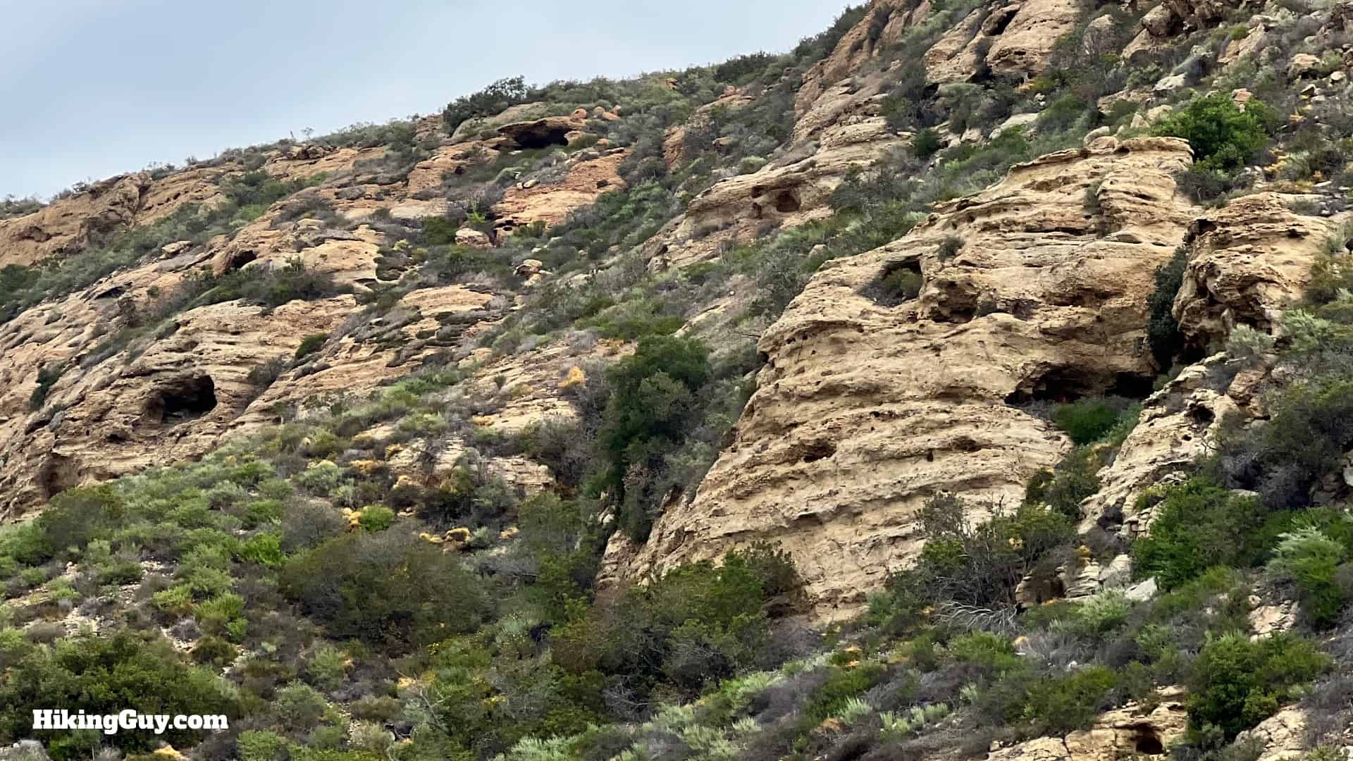
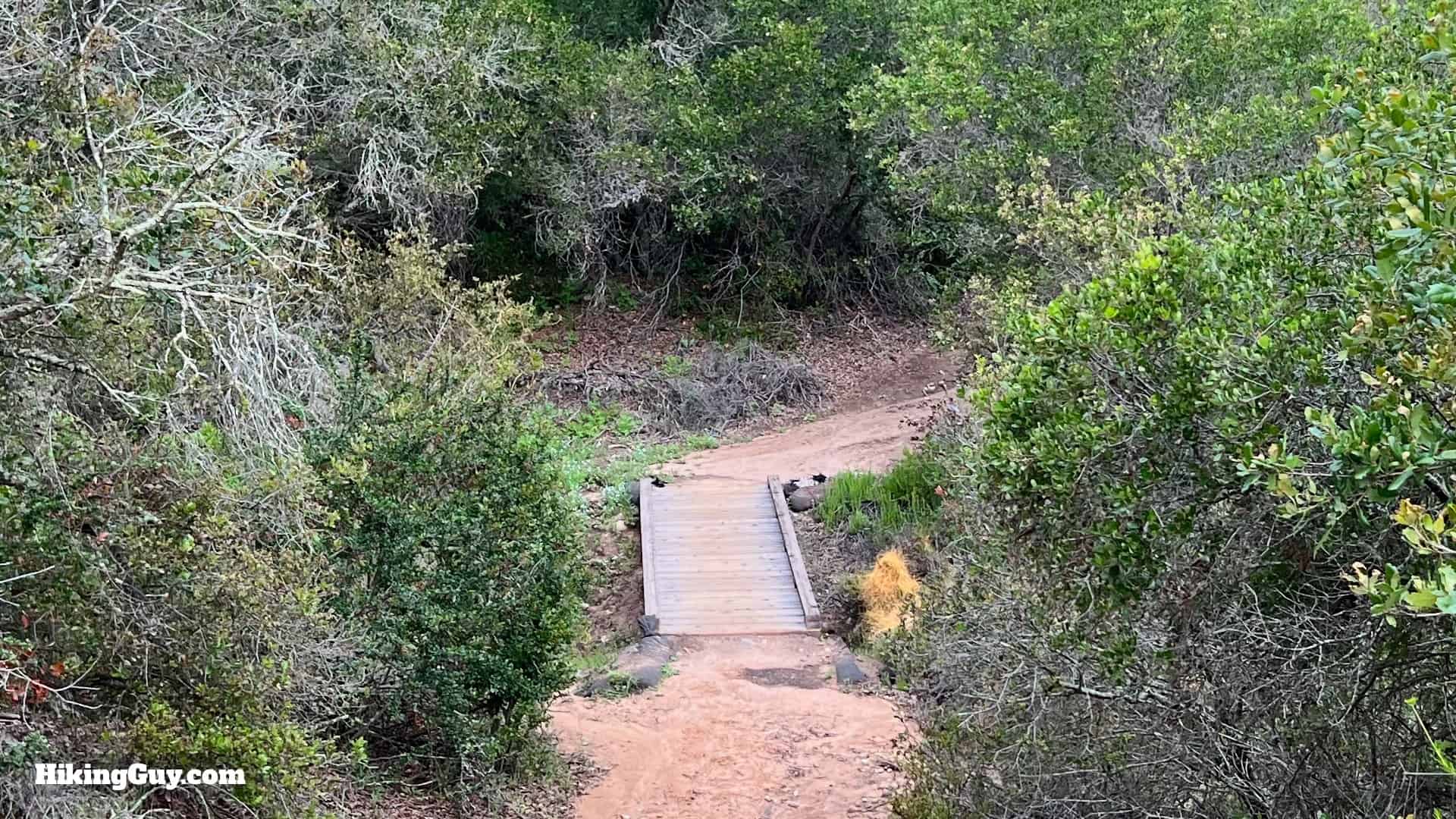
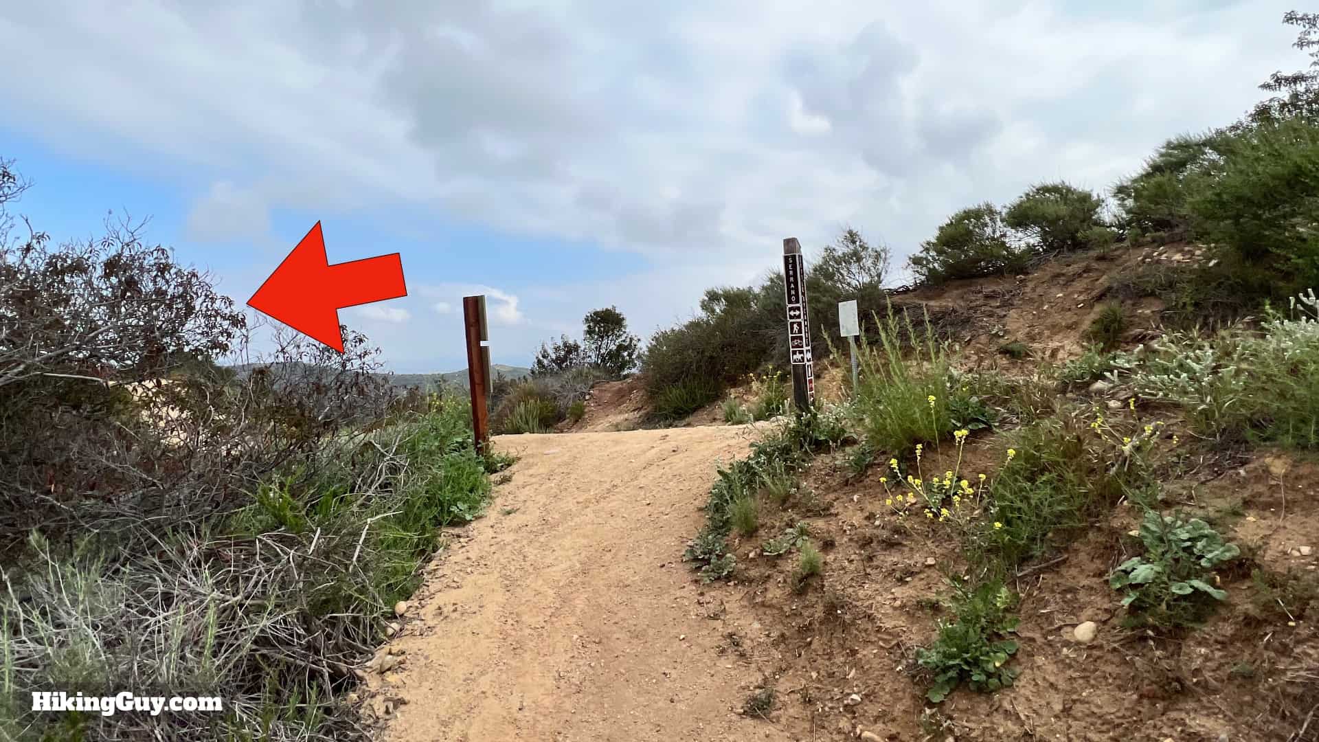
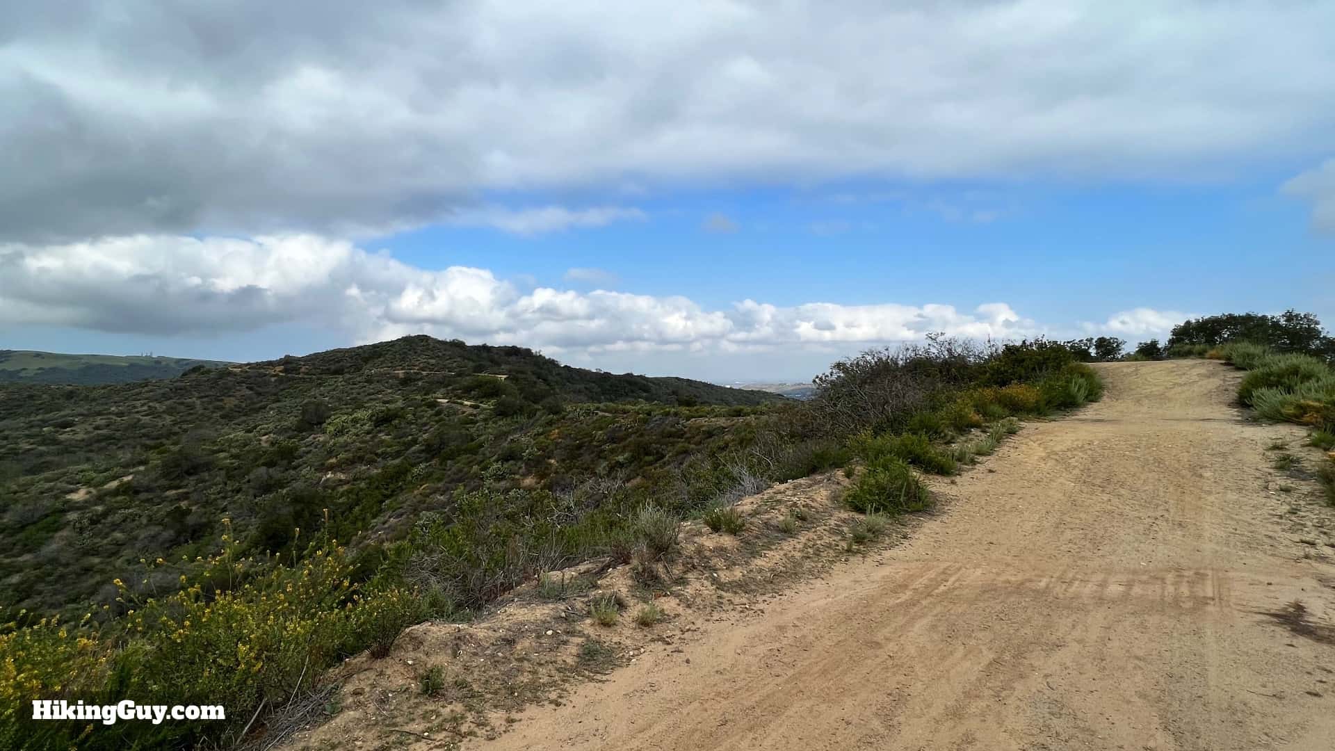
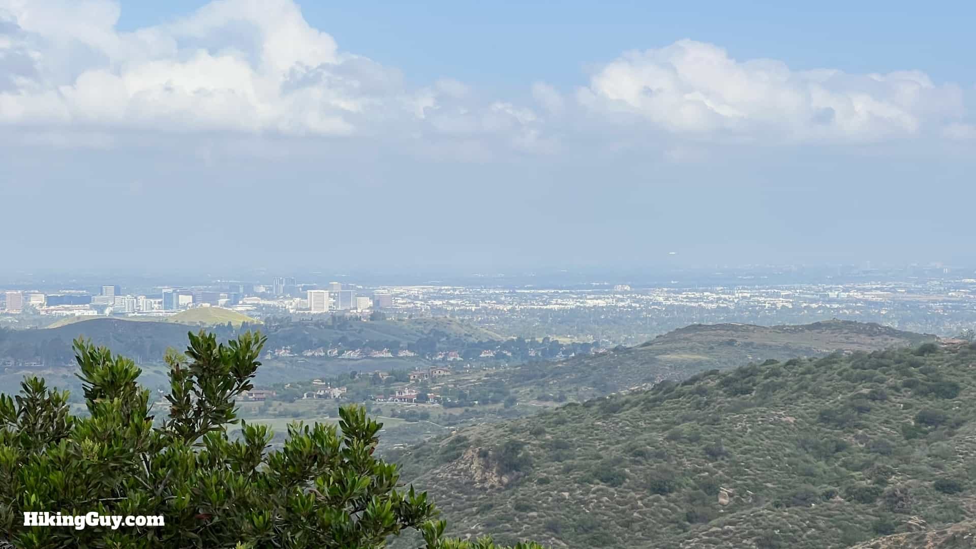
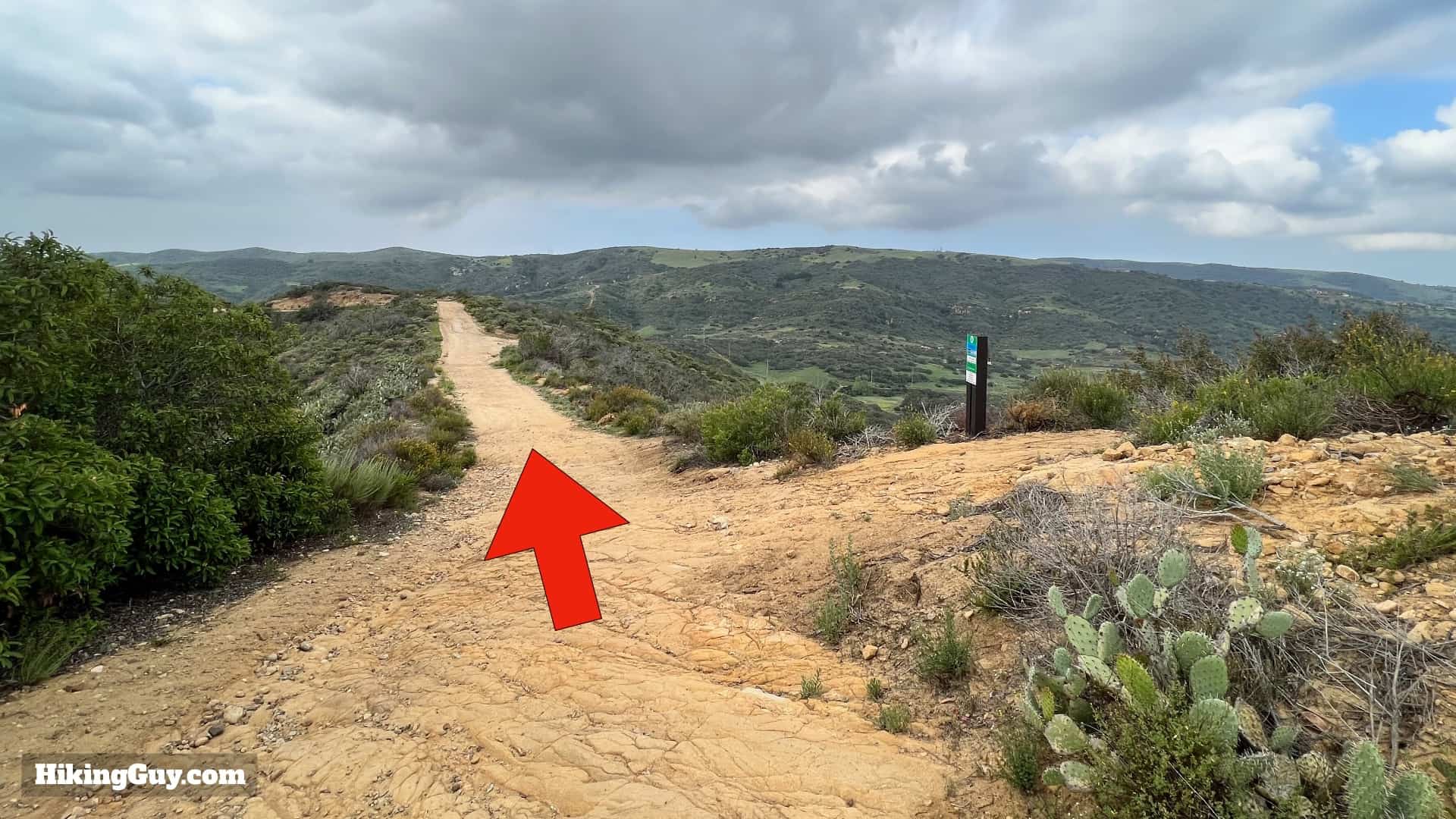
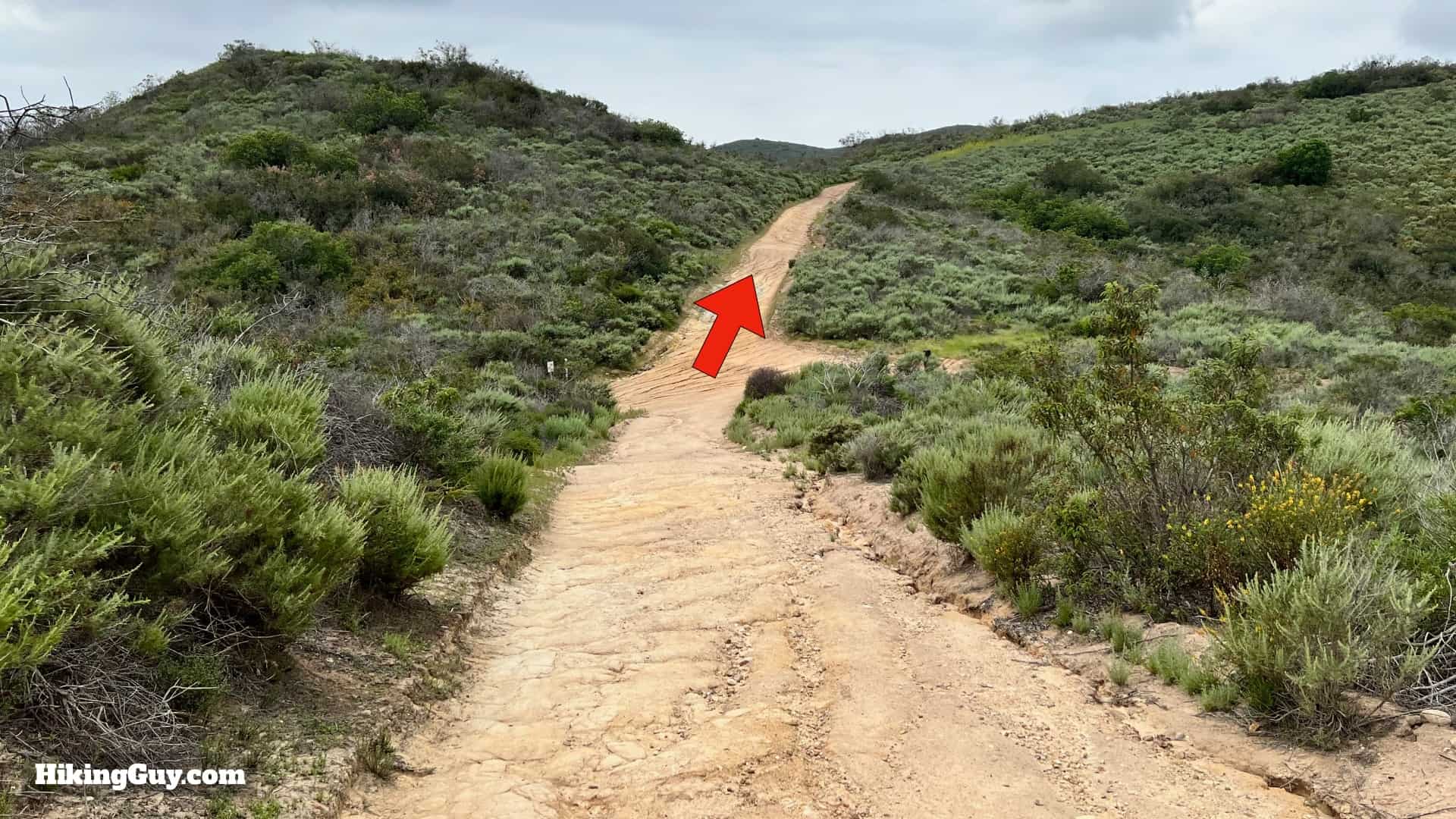
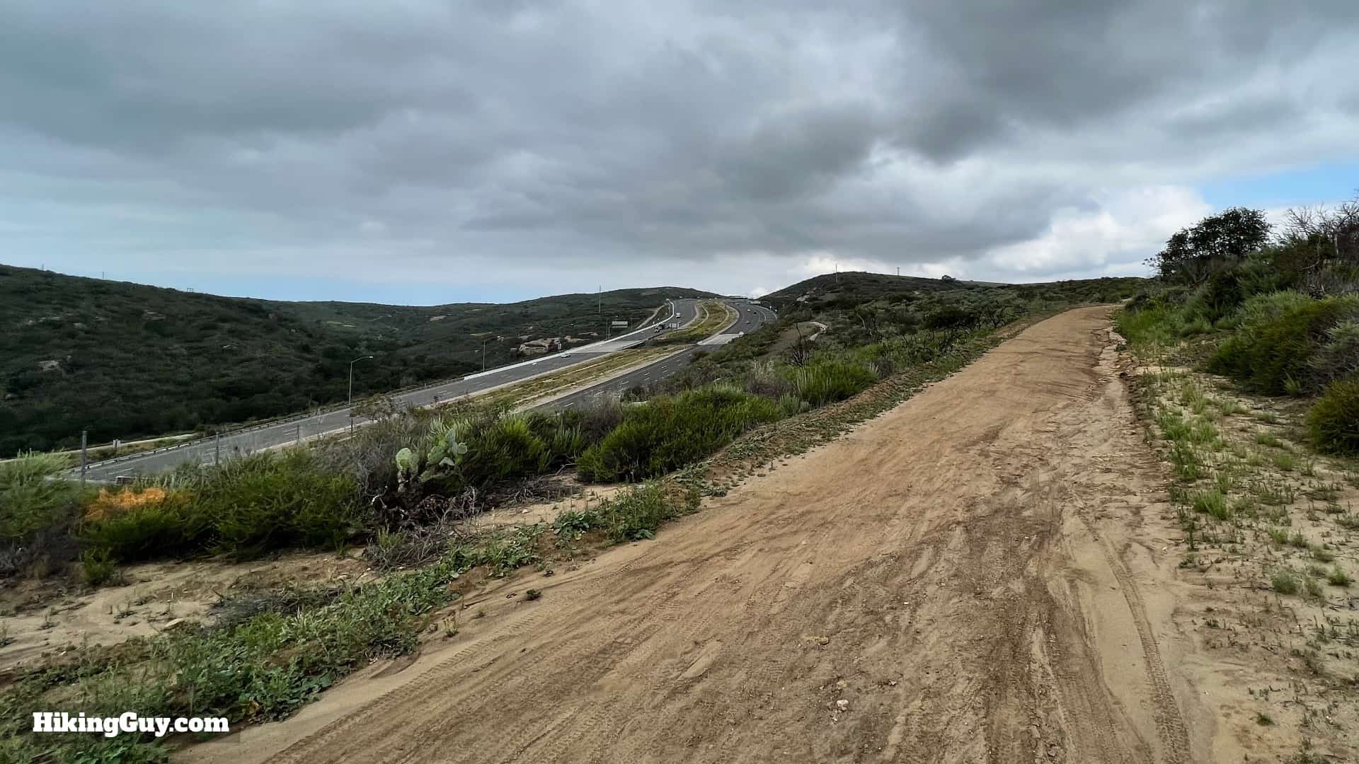
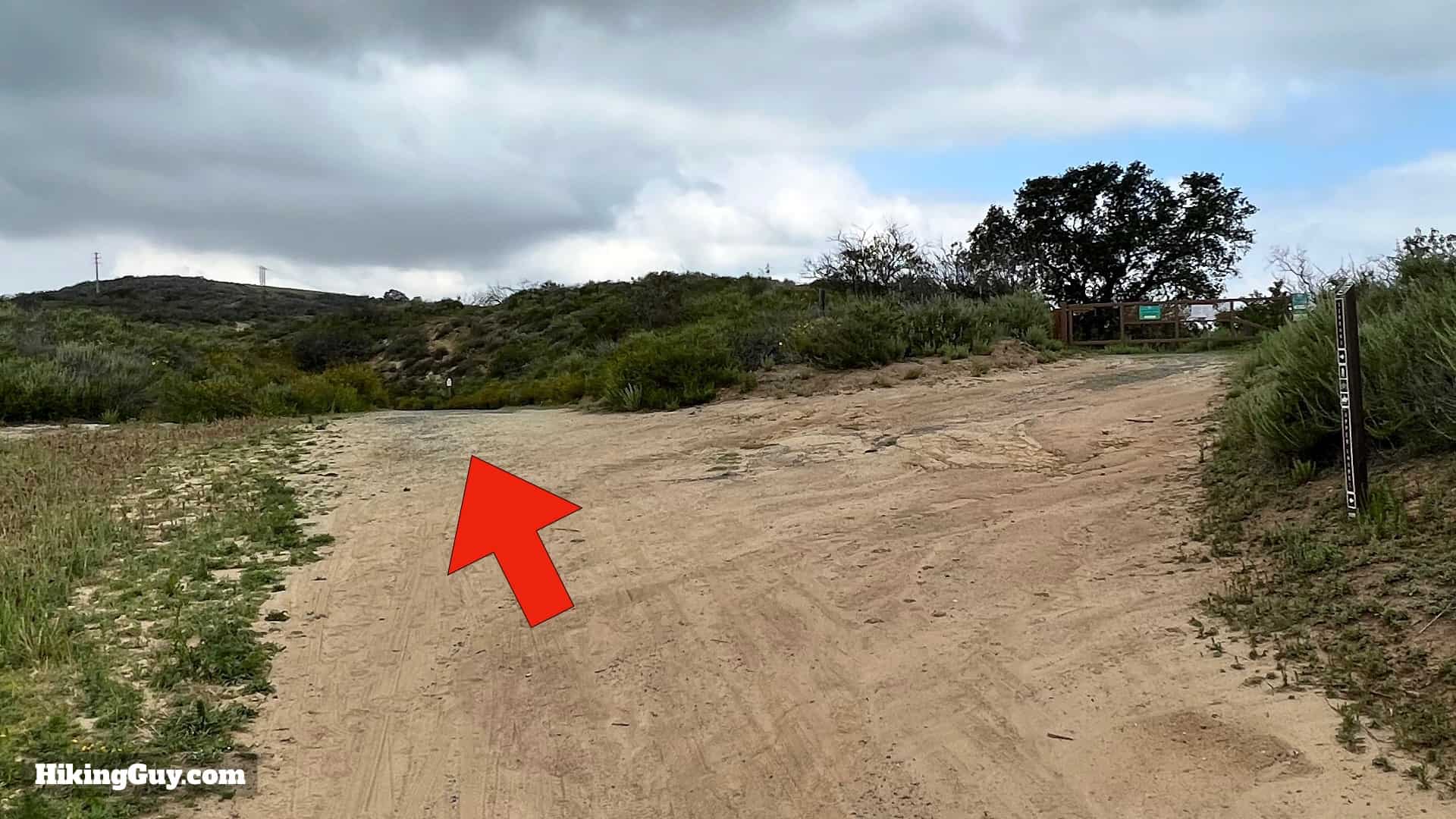
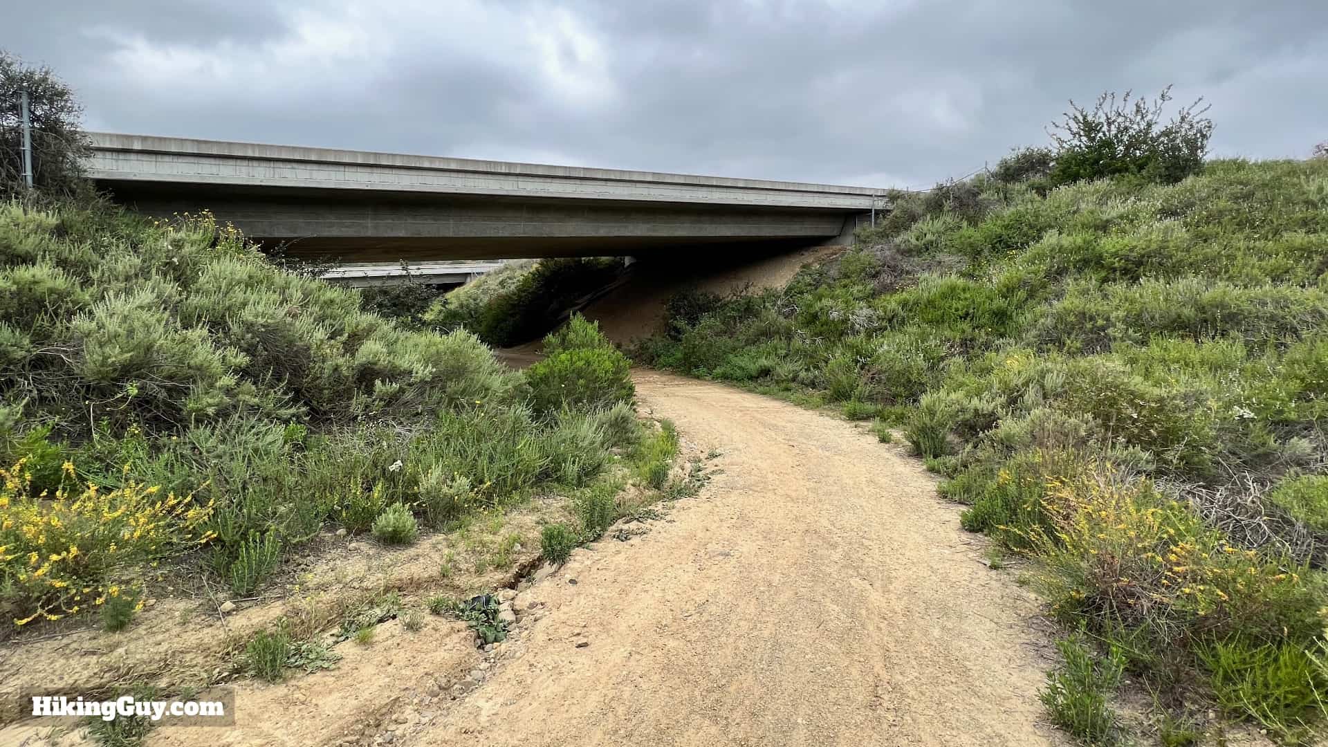
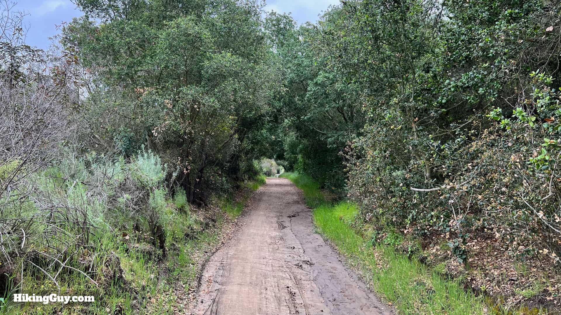
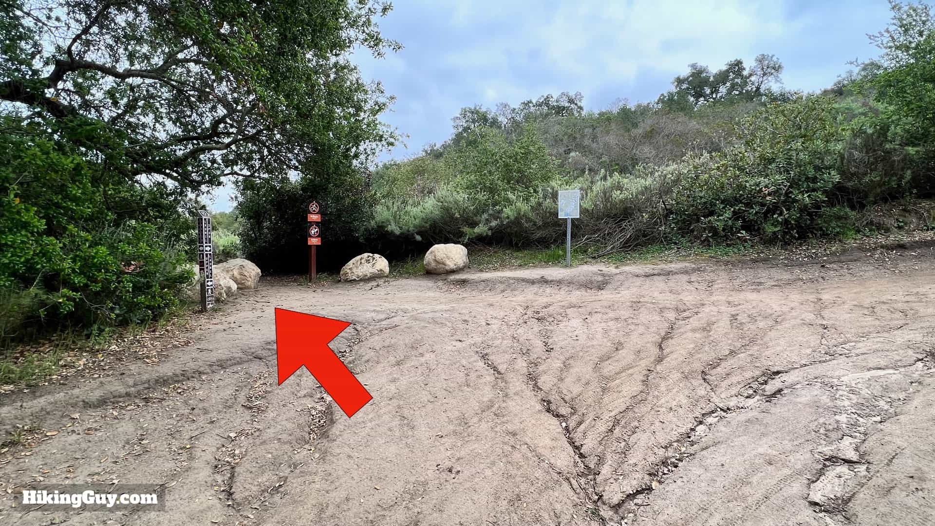
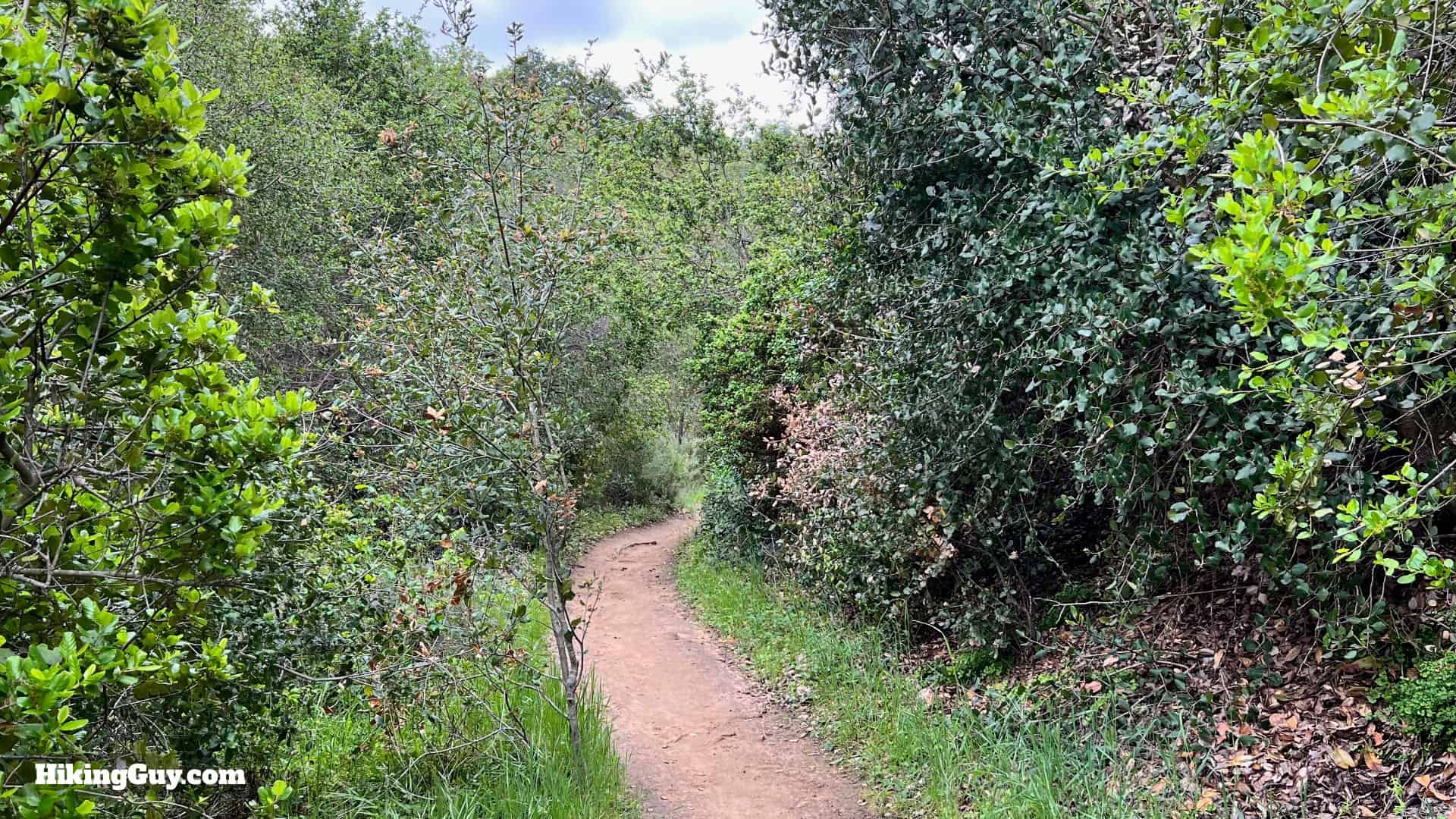
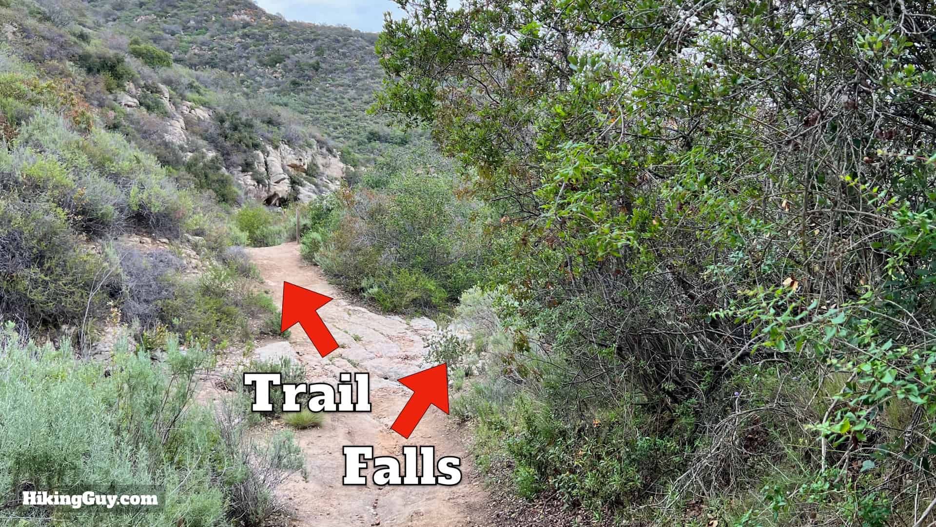
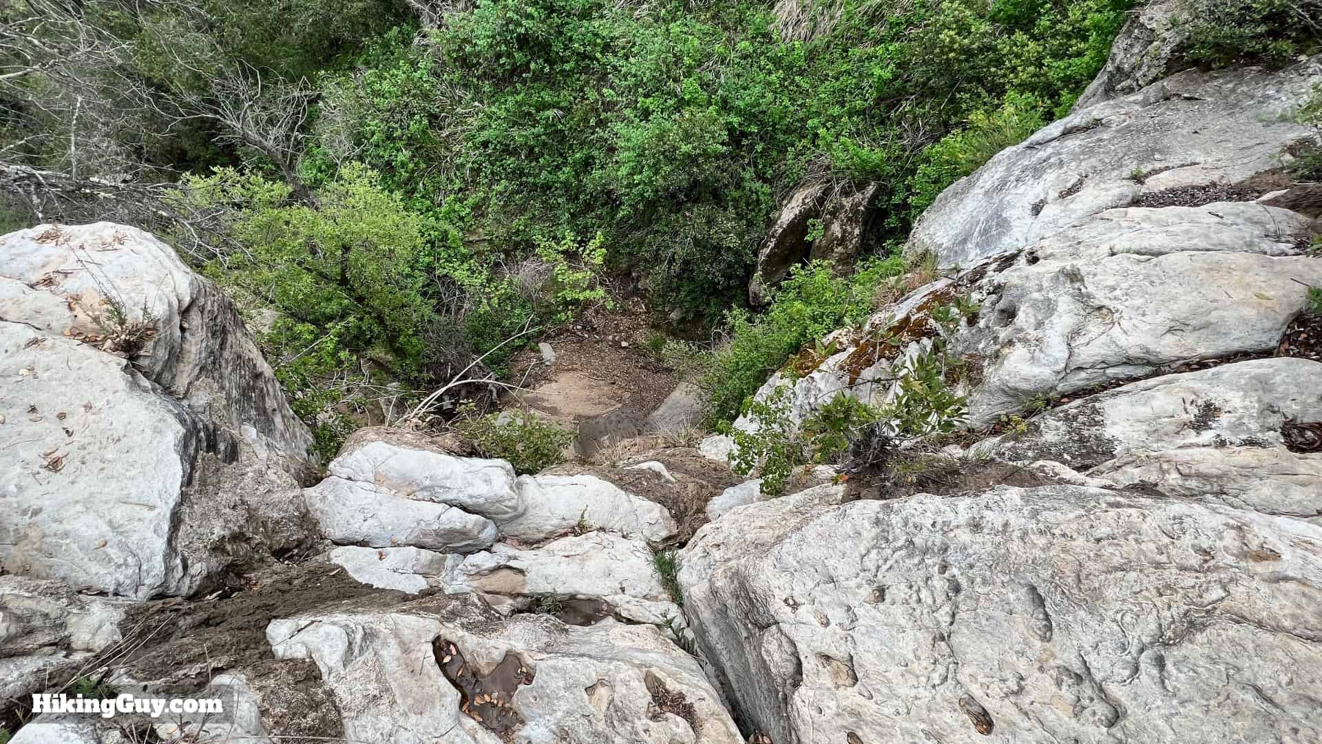
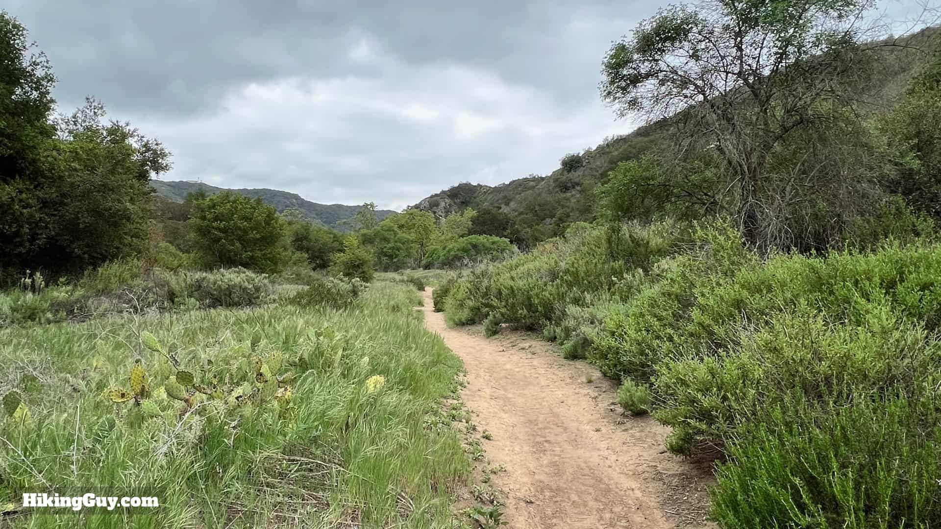
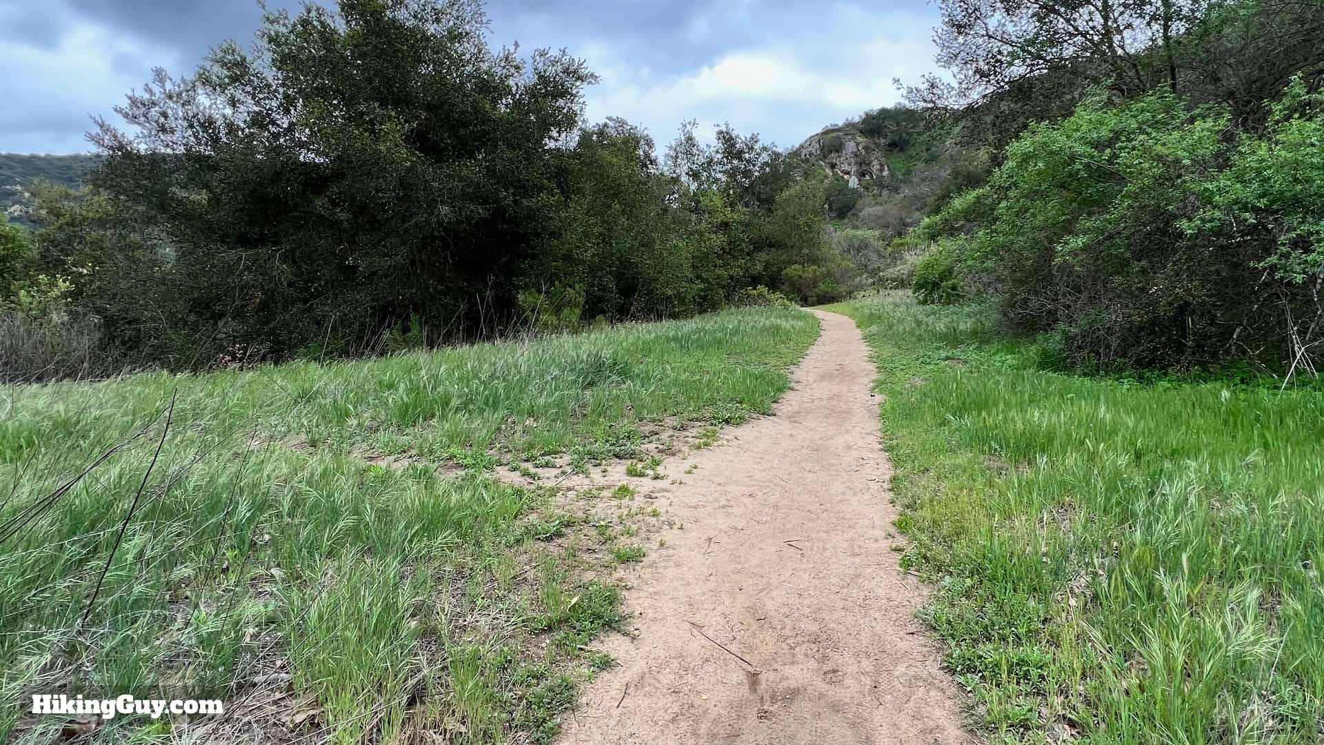
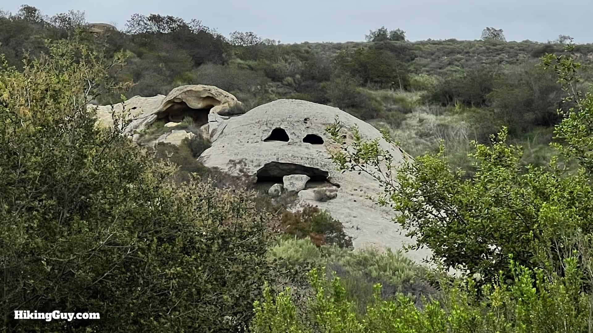
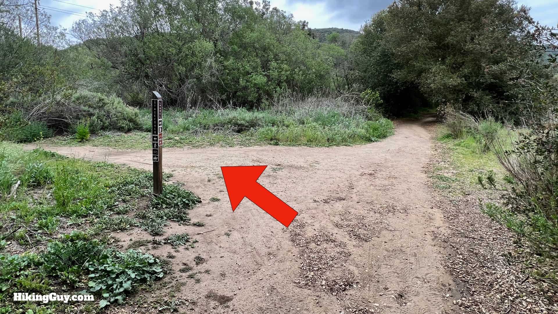
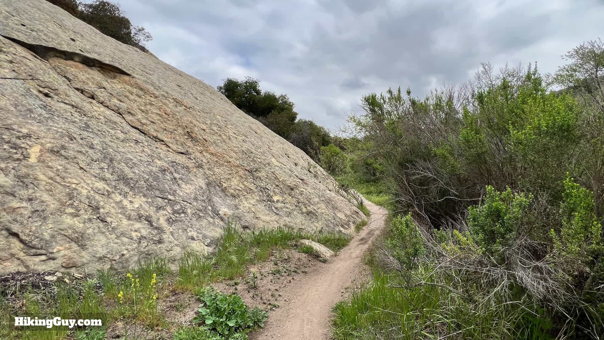
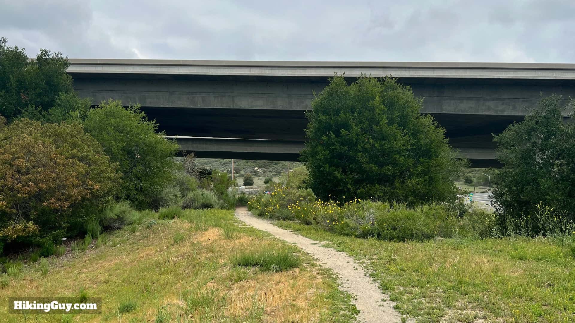
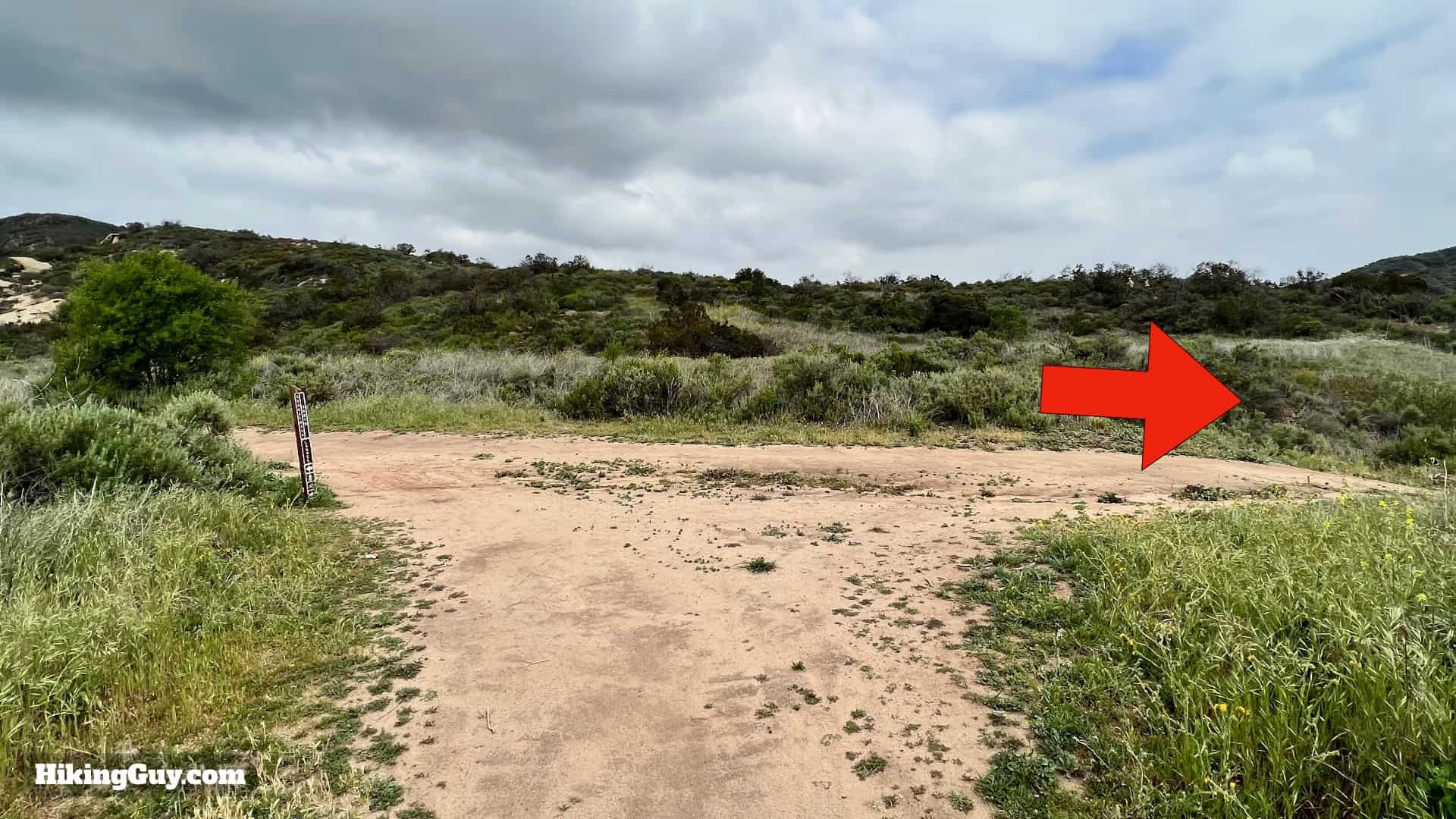
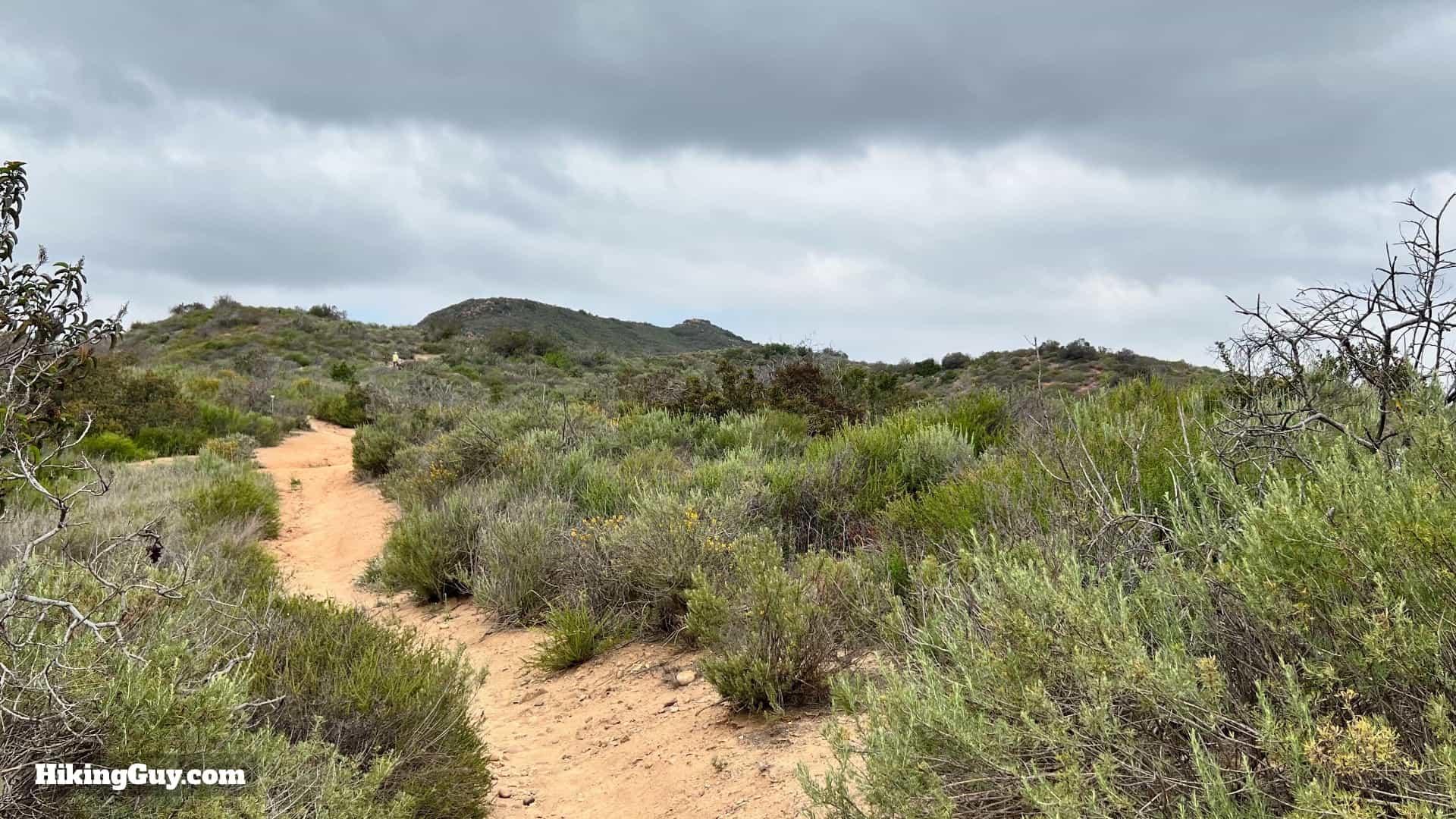
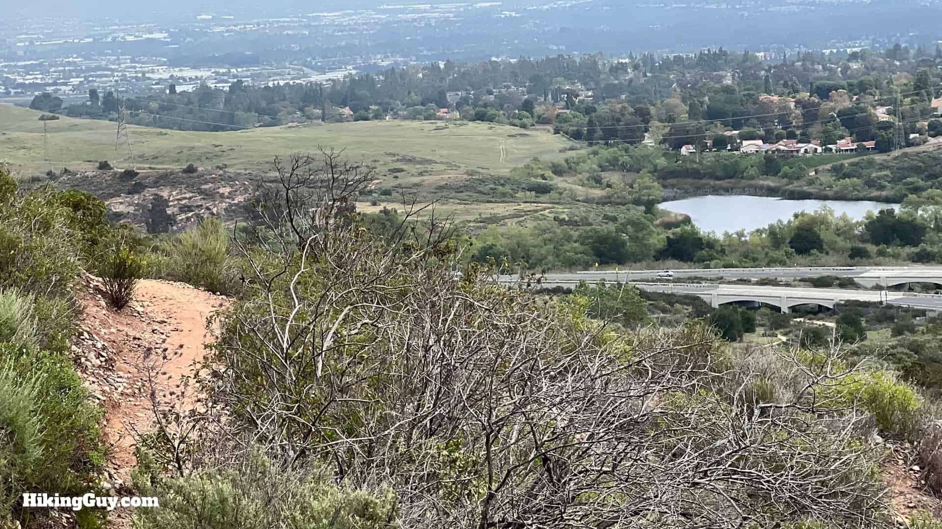
Start at the end of the parking area.Go straight through all the side trails.At the split, hike to the left.You'll see a sign for the Little Sycamore Trail. That's the trail we're going to take up to the ridge.Keep hiking straight uphill.After about 0.3 miles the trail levels out a bit and you can catch your breath.Look up to your right to see caves eroded into the sedimentary rock. Caves like this in the area where used to store food and as shelter by native peoples.You'll cross a couple of small bridges.And then at the top of the climb, you reach Serrano Ridge. Make the left turn to continue.You'll be following this trail along the ridge, and you can see it unfold in front of you.To the right are great views into Orange County and on a clear day, to Mt Baldy.You'll see several side trails. Just stay straight on Serrano Ridge.The trail is rolling, and towards the middle you'll crest a hill and see the 73 Toll Road off to the left. We'll be going under that shortly.At the junction with the Camarillo Canyon Trail (on the left), go straight. If you need to shorten the hike you can go down the Camarillo Canyon Trail and rejoin the trail later. This will take about 3.5 miles of the hike, but you will miss some of the highlights. Otherwise continue straight.You'll wind around next to the road.Stay left at the junction with the Hogback Ridge Trail.And then hike underneath the 73.Once past the road, make the hard left onto the Upper Laurel Trail.As you approach the canyon you'll start to see some trees and lush growth.At the t-junction, make the hard left onto Laurel Canyon Trail.This singletrack trail has a much more intimate feel.Keep your eyes open for the waterfall.The (dry) waterfall is a great place to stop for a snack. There's allegedly an old Volkswagen down there, but the off-trail areas are off-limits, so please be respectful. If you want to check out an old car up close, hike the nearby Car Wreck Trail.Head back to the trail and continue downhill past the interpretive displays.At the bottom the canyon opens up.Shortly after it opens up, look for a small siding on the left.And look in the distance for what is known as Ghost Rock, Pac-Man, Emoji Rock, or Smiley Face Rock.Continue down the trail until you reach the junction with the Stagecoach Trail, and make the left.Follow the Stagecoach Trail as it winds along the rock formations.After a little climb and descent you'll cross back under the 73.And then at the junction, make the right. If you took the Camarillo Trail shortcut, you'll rejoin here.Pass through the gate.And then hike to the left to start the last climb.You have about 270 feet of climbing.And then the trail levels out. Below you in Barbara's Lake.And then you start descending. You'll be able to see the roof of the visitor center as you hike downhill.And here you are, back at the parking lot!