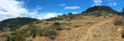
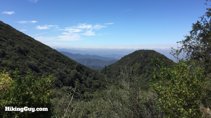
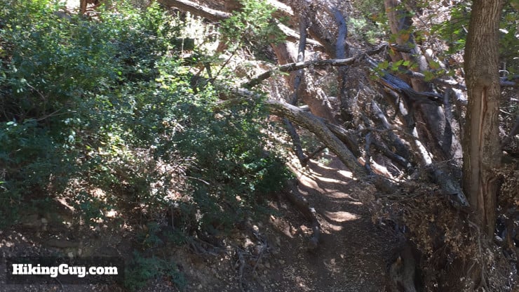
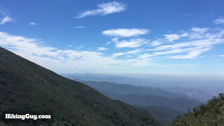
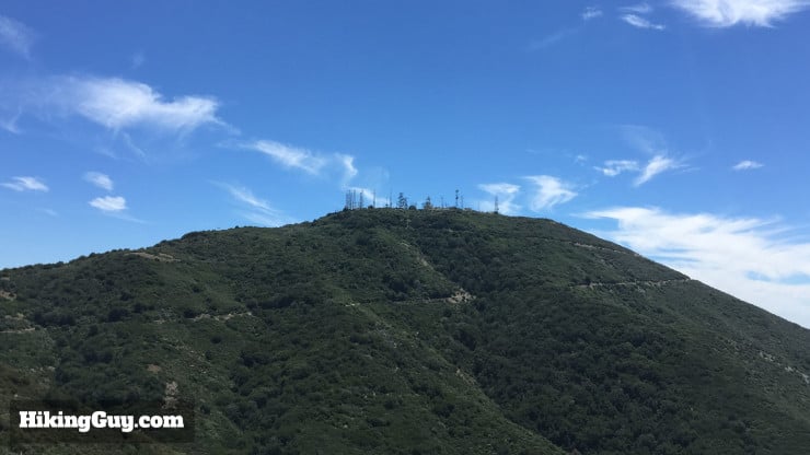
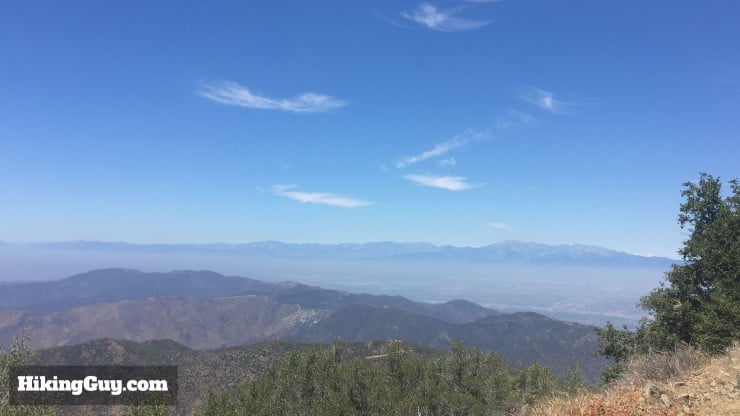
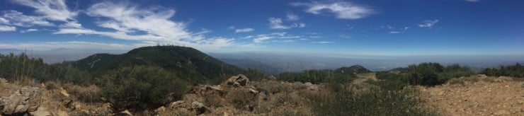
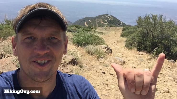
The Modjeska Peak hike is challenging - long, steep, and sometimes primitive. The hike climbs to the second highest point in Orange County, Modjeska Peak. Modjeska Peak, at 5,499 feet, is the lower peak in Saddleback Mountain. The highest peak (and other peak in Saddleback Mountain) is Santiago Peak. The actual summit is undeveloped and much nicer than nearby Santiago Peak. This is a challenging hike. Don't try this hike without a good level of fitness.
- Modjeska Peak Hike Directions
- Modjeska Peak Trail Maps
- Directions to the Hike
The Modjeska Peak hike is challenging - long, steep, and sometimes primitive. The hike climbs to the second highest point in Orange County, Modjeska Peak. Modjeska Peak, at 5,499 feet, is the lower peak in Saddleback Mountain. The highest peak (and other peak in Saddleback Mountain) is Santiago Peak. The actual summit is undeveloped and much nicer than nearby Santiago Peak. This is a challenging hike. Don't try this hike without a good level of fitness.
Oh, and Modjeska Peak was named after the famous Shakespearian actor, Helena Modjeska. She emigrated from Poland, won acclaim in the USA, and eventually passed in Newport Beach in 1909.
Some folks are getting a ticket when parking at the trailhead in this guide (and others are not). I'll post an update to this guide shortly, but for now, to avoid a ticket, try parking at Cook's Corner and taking this route to the summit. Or hike Modjeska from Maple Springs.
Getting to Modjeska Peak
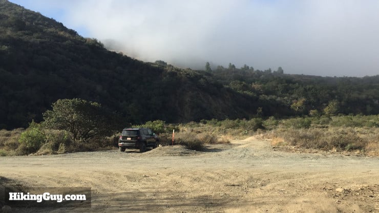
The trailhead and parking is a little tricky, there's not a clean Google Maps address.
Use this address in your GPS: 31647-31741 Trabuco Creek Rd, Trabuco Canyon, CA 92679.
Here's the actual latitude and longitude link. You are going to park at the junction on Trabuco Creek Road.
There are some small parking areas along the side of the road here. It's not a popular trailhead, and I've never seen it full. There's a concrete barrier to get to the trail now, just cross over it after you park.
You need a parking pass for the Cleveland National Forest. I use the affordable National Parks Pass, which gets me in every national park, national monument, and national forest. You can also use an (Southern California only) Adventure Pass, or buy a $5 day permit from the ranger's office.
Gear for the Hike
This is a long, tough, backcountry hike. You should bring at least 3L of water, more if it's hot out. This hike has shady sections but can get very hot in the summer. I would also bring insect repellant, bugs can be intense in the summer months.
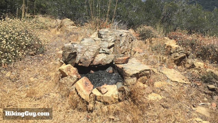
If you want to camp, there's a fire pit on the summit of Modjeska Peak, a nice clearing, and great views. It's obvious that people have done some backcountry camping here.
Gear That I Love Right Now
Nothing is sponsored or promoted, just the actual gear that I use.


Modjeska Peak Trail Maps
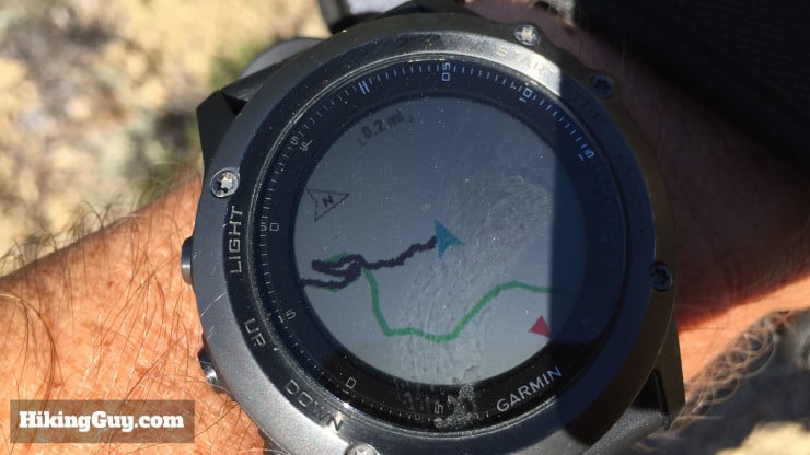
- Most maps have an incorrect path for the Joplin Truck Trail, the main trail for this hike. The GPX file in this hike has the correct route.
- There are more mountain bikers than hikers on the Modjeska Peak hike. Give them a wide berth, the trail is narrow.
How Will You Navigate?
 Using the Apple Watch for Hiking
 Garmin Fenix 7 & Epix Review For Hikers
 How To Read a Topographic Map
 Garmin GPSMAP 67i Review
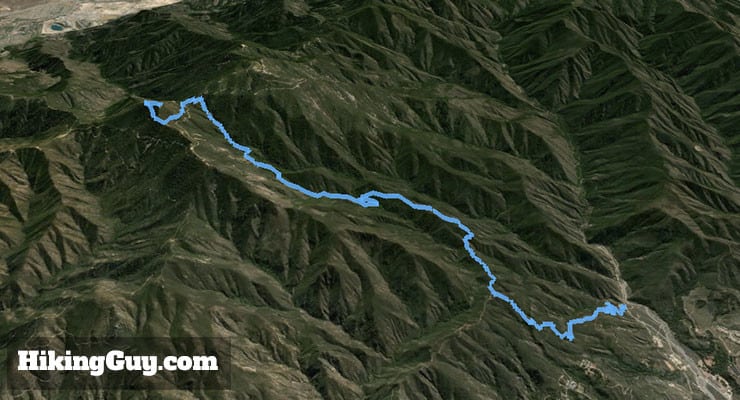
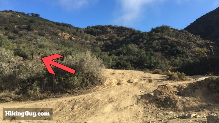
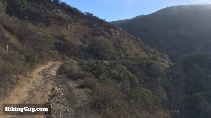
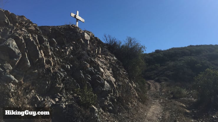
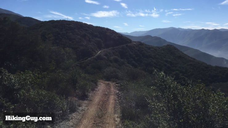
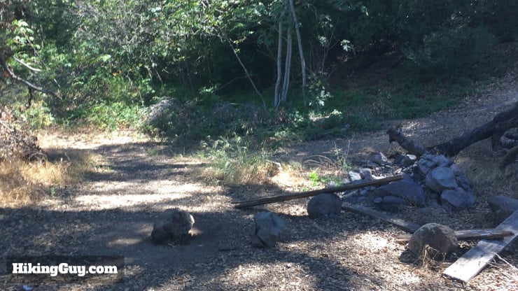
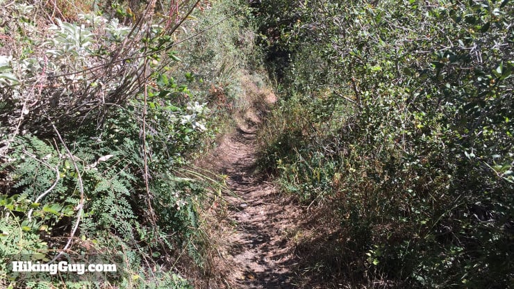
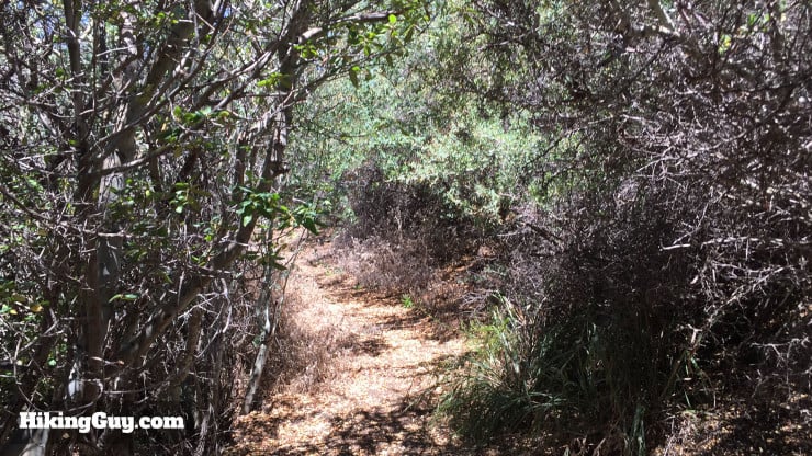
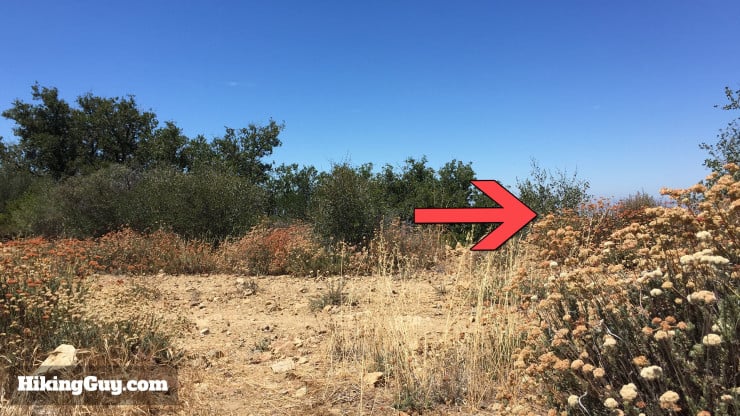
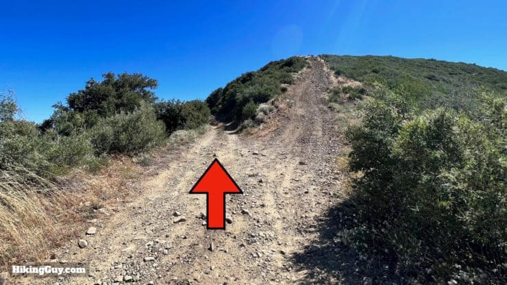
Modjeska Peak Hike Directions
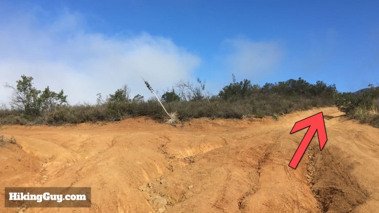
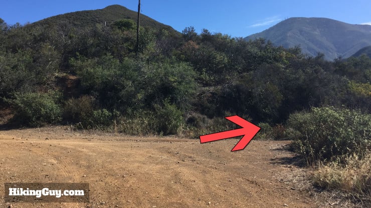
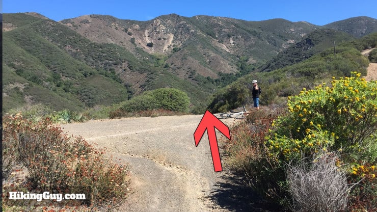
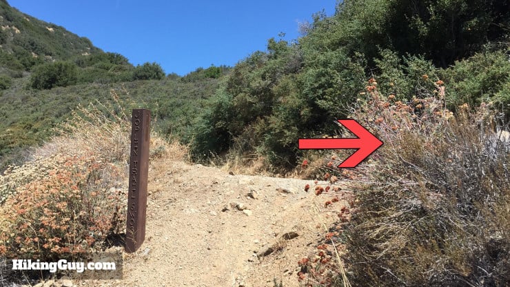
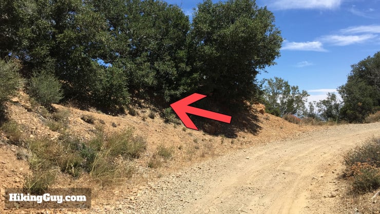
If you miss that last turn, you're heading to Santiago Peak. Not that it's a bad thing. And if you want to bag both peaks of Saddleback Mountain in one day, you go straight here, bag Santiago, and then come back.
Related Guides
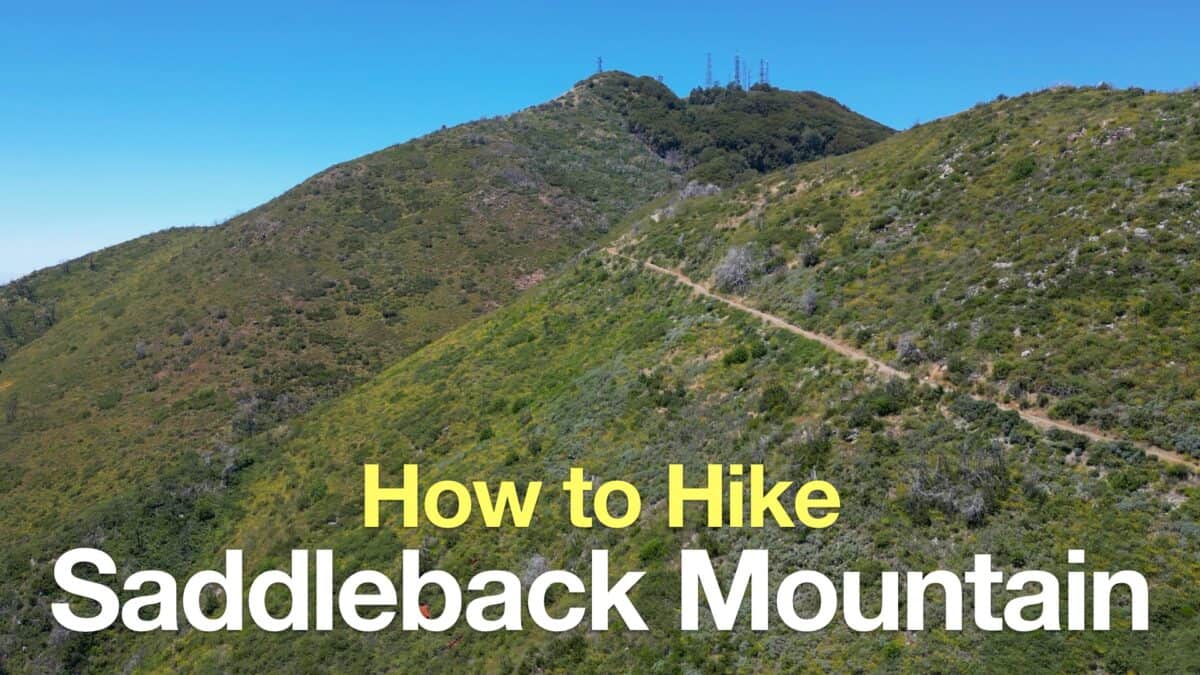 Saddleback Mountain Hike (Santiago Peak)
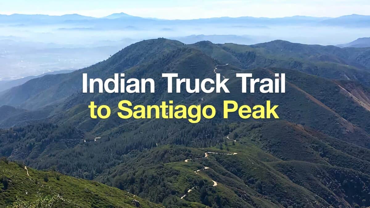 Hike Indian Truck Trail to Santiago Peak
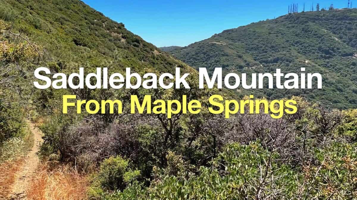 Hike Santiago Peak & Modjeska Peak From Maple Springs
 Hikes In and Around Orange County
 Cleveland National Forest Hiking
 Sierra Club 100 Peaks
Popular Guides
 Best Hiking Gear 2024
 Hiking Boots or Shoes: Do I Really Need Hiking Boots?
 When to Hit SOS on inReach
This Guide Was Written by Cris Hazzard

Hi, I'm Cris Hazzard, aka Hiking Guy, a professional outdoors guide, hiking expert, and author based in Southern California. I created this website to share all the great hikes I do with everyone else out there. This site is different because it gives detailed directions that even the beginning hiker can follow. I also share what hiking gear works and doesn't so you don't waste money. I don't do sponsored or promoted content; I share only the gear recommendations, hikes, and tips that I would with my family and friends. If you like the website and YouTube channel, please support these free guides (I couldn't do it without folks like you!). You can stay up to date with my new guides by following me on YouTube, Instagram, or by subscribing to my monthly newsletter.