Yes, more Sugarloaf Peaks. We have a pair of them this time, and they're in Cleveland National Forest. This challenging route on the popular San Juan Trail, once a native path traversing the Santa Anas, brings you to Old Sugarloaf and (new) Sugarloaf, which you can bag and enjoy some great views in the process. It's a challenging hike into a remote section of this rugged and underrated area.
In this Guide:
Video and Turn-by-Turn Directions for the San Juan Trail to the Sugarloaf Peaks
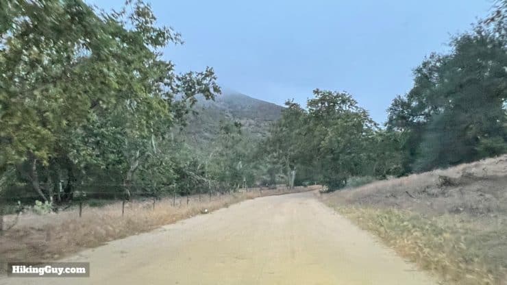
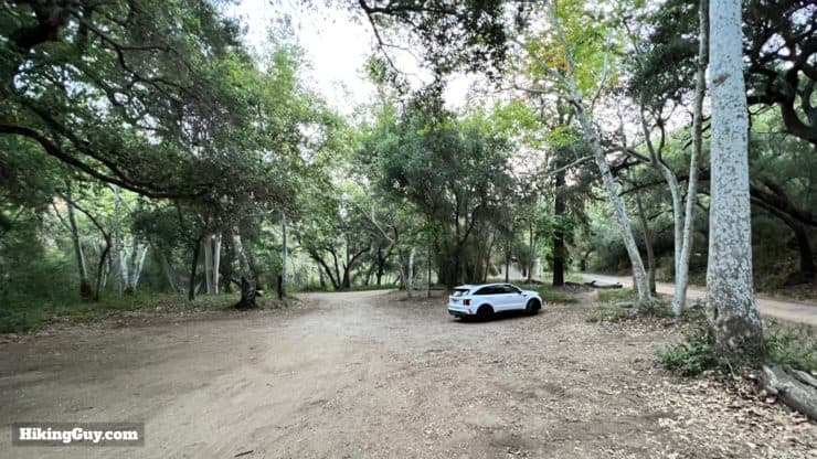
There's a short section of dirt road before you reach the trailhead, and it's passable in low-clearance vehicles.The parking lot is massive but does get full when mountain bikers are out. Get here early and you should be okay.
You need a National Parks Pass or Adventure Pass to park here.
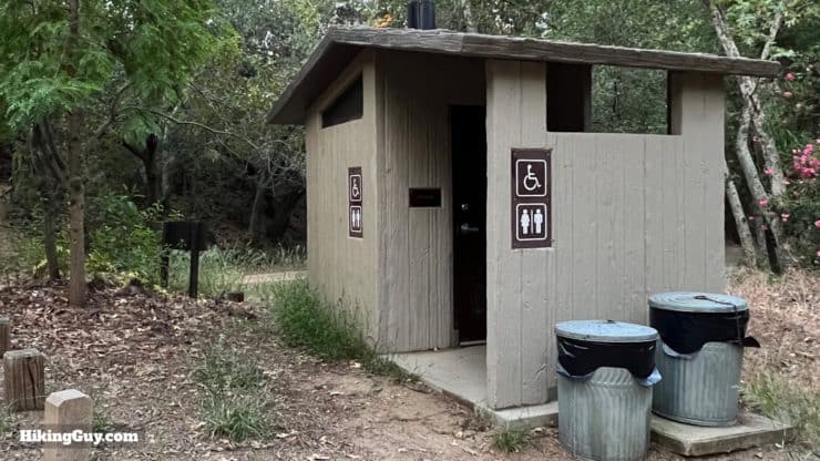
There are primitive toilets at the trailhead.
Gear For the Hike
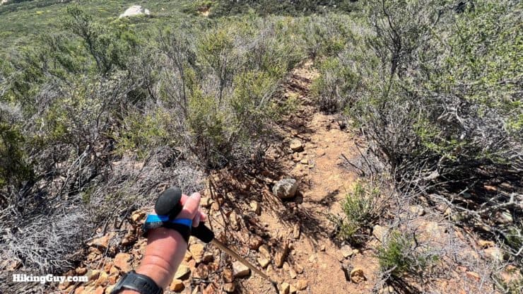
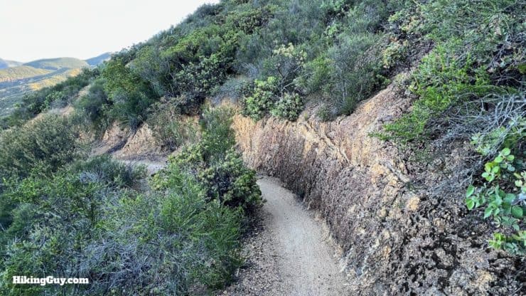
Descending from Old Sugarloaf without a trekking pole is not recommended. Bring at least one for this very steep section. This image doesn't do it justice, trust me.
This is an exposed and tough climb, typical of the Santa Anas. The best time to do this is when temperatures are cooler, and even then, I bring 3L of water. You'll also want some insect repellant. The final climb to both peaks is overgrown and steep. The smart move is long pants, long sleeves, and a trekking pole. On the day I created this guide, I had short sleeves and shorts on and got moderately scratched up, but nothing too serious.
Gear That I Love Right Now
Nothing is sponsored or promoted, just the actual gear that I use.
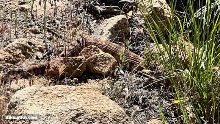
Pay attention to the trail. I almost always see a rattlesnake on this hike when it's warm out. There are also mountain bikes. It's not the place to hike with headphones.
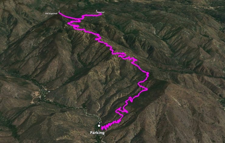
Sugarloaf Peaks Trail Maps
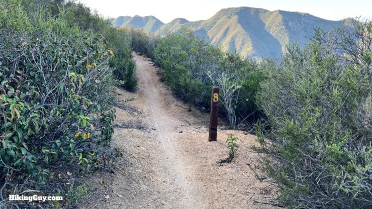
There are mile markers along the trail, but the mileage is from the other end of the San Juan Trail by Blue Jay Campground.
Here's the profile from the start to the second Sugarloaf peak. It's a very gradual and steady climb, aside from the extremely steep use trails to both summits.
3D Map
It's an out-and-back hike to the peaks. The start features multiple switchbacks, and then you have a long gradual approach along the ridge to the peaks.
Hike Brief
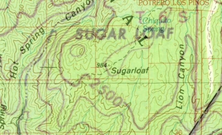
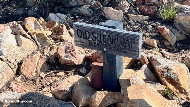
Why two Sugarloafs? USGS topographic maps from 1960 and earlier show the higher peak as Sugarloaf (the larger font on this overlay). When the 1983 USGS topographic map came out, the peak moved to the smaller peak. I think that this was an error. Today "Old Sugarloaf" refers to the higher point on the 1960 and earlier maps, and "Sugarloaf" is the post-1983 map peak.
There are 19 other "Sugarloaf" mountains in California, including the popular one near Big Bear. There's also a Sugarloaf by Mt Baldy that you can scramble up. Peakbagger lists 100 officially named "Sugarloaf" peaks around the world.
Pleasants Peak, north of Santiago Peak, was also called Sugarloaf. But in 1933 the fire lookout on Santiago Peak (there used to be a fire tower there) suggested that the peak be named after J.C. Pleasant, a pioneer who lived in the mountains since 1860, to avoid confusion. And so it was.
The 11.6 mile San Juan Trail is one of the most popular mountain bike descent trails in Southern California. Although it is ridden in both directions, the typical way to ride it is by shuttling to the top by Blue Jay Campground, and then riding all 11.6 downhill, The trail can be narrow, but I've never had a problem stepping to the side when bikes come by.
San Juan to Sugarloafs Hike Directions
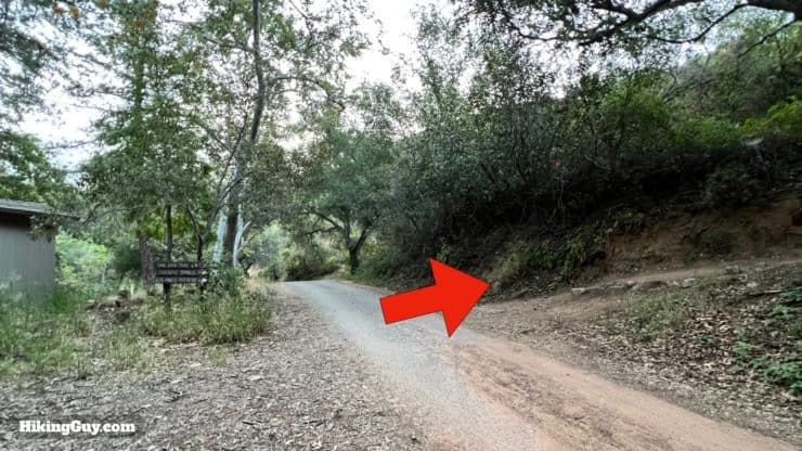
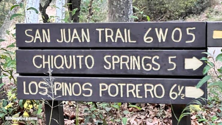
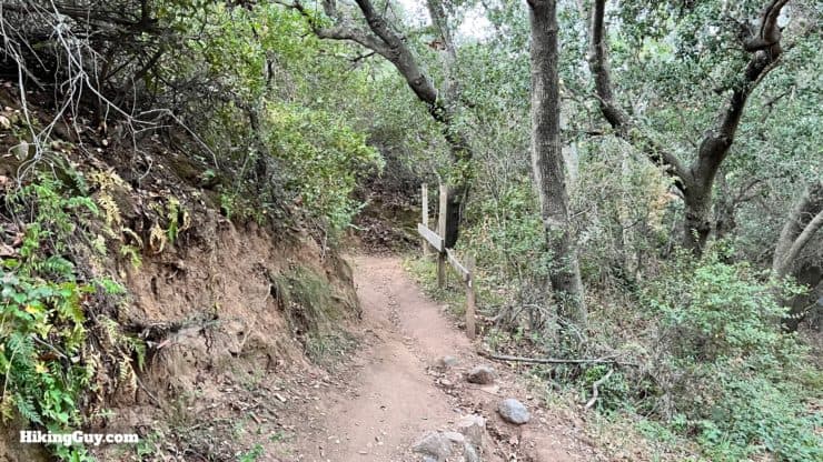
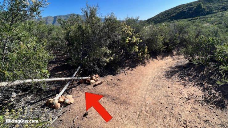
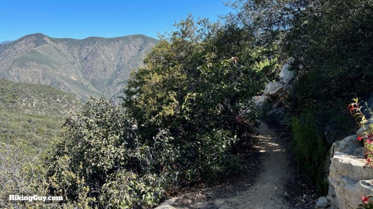
The trail starts across the road from the toilet.There's a nice big sign here to avoid any confusion.The beginning of the trail is easy to spot.Start climbing on the 15 switchbacks.Enjoy the views into Hot Springs Canyon.
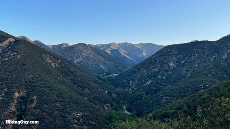
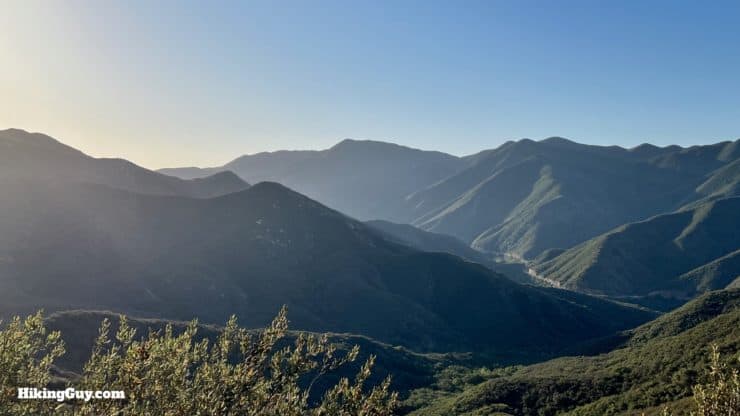
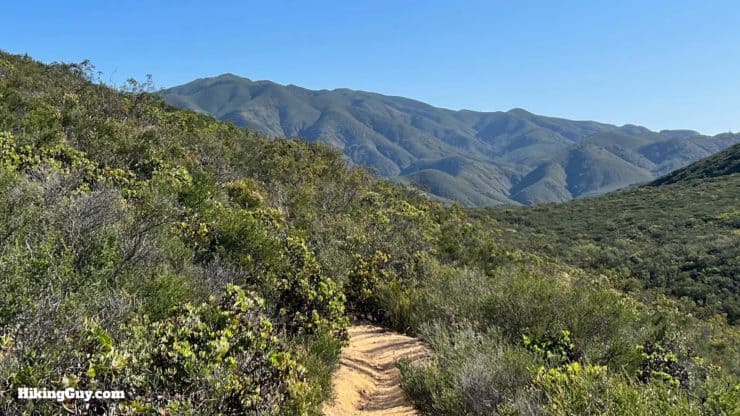
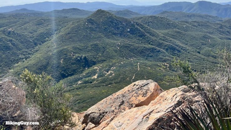
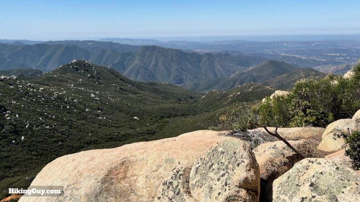
If you're really up for a challenge, try the Los Pinos Trail, which runs along the ridge in the distance of the previous image. Unfortunately, it's very overgrown and you need to call ahead and get permission to park at the trailhead from the Lazy W Ranch. I did it years ago and it kicked my butt. If the trail condition improves, I'll do a guide. It's not for the faint of heart. Alltrails route here if you're interested.
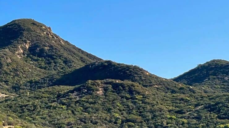
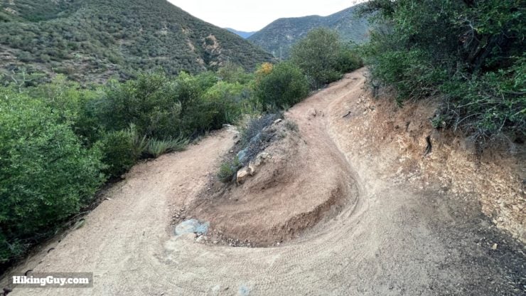
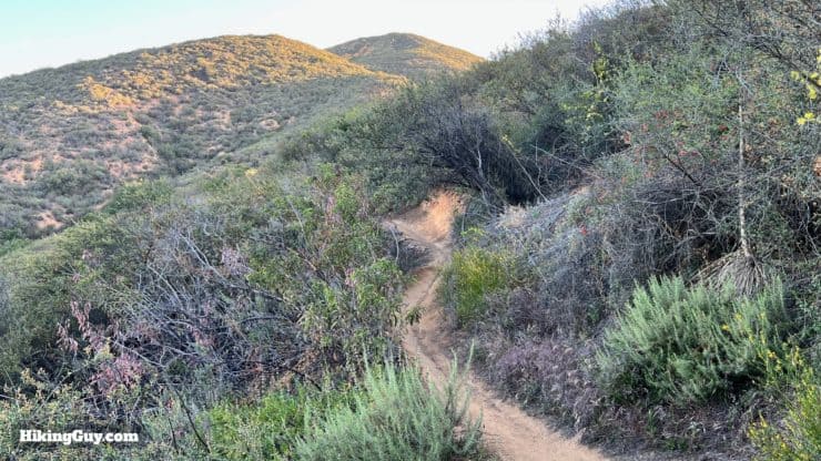
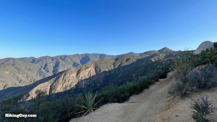
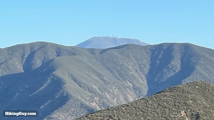
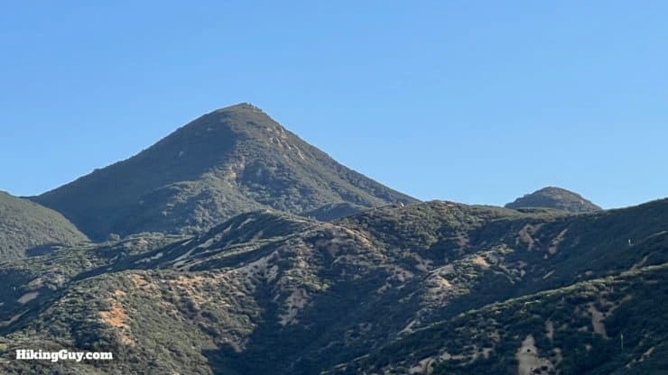
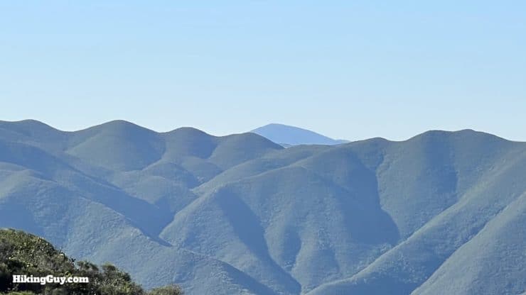
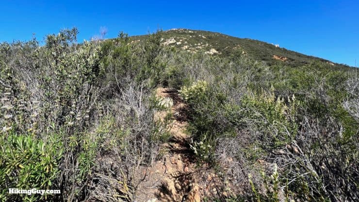
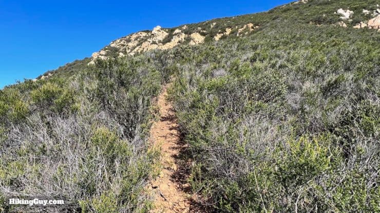
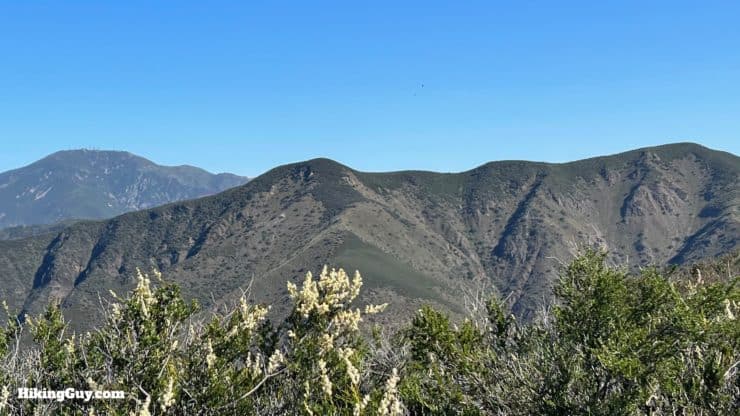
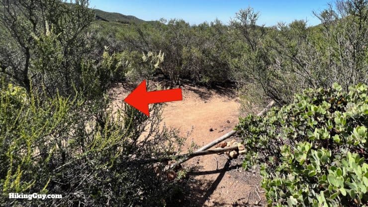
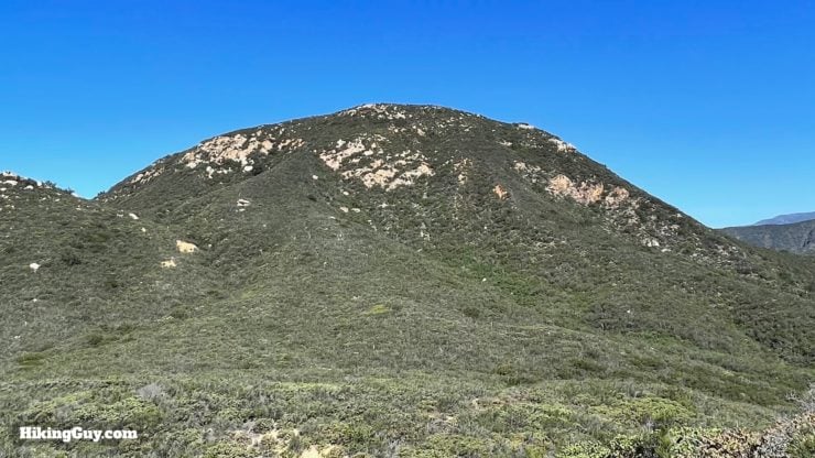
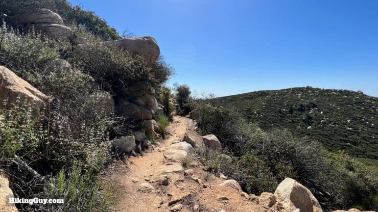
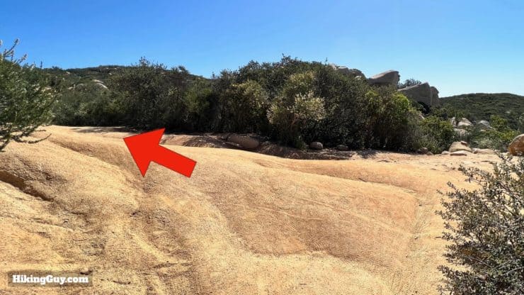
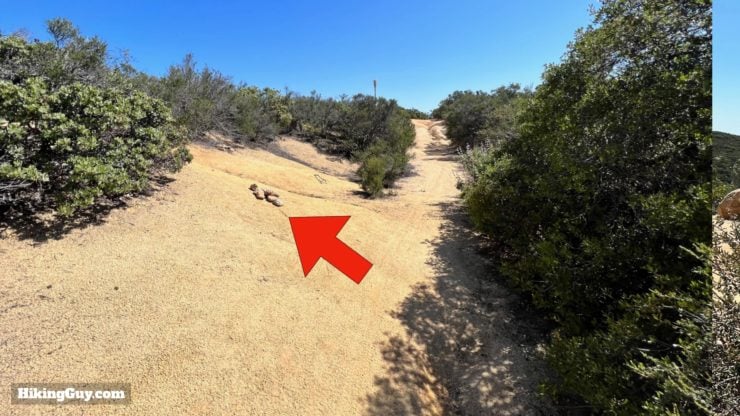
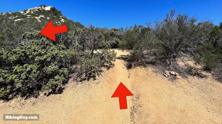
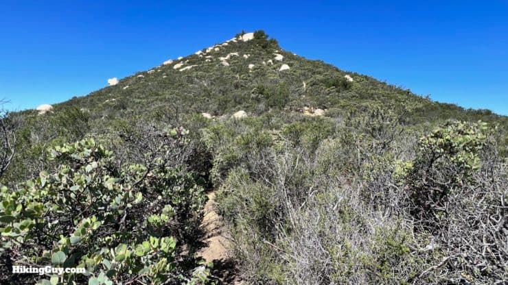
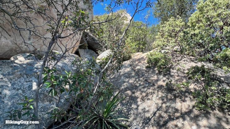
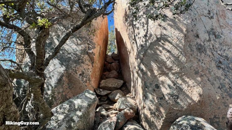
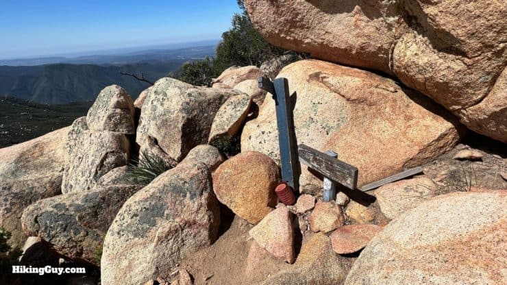
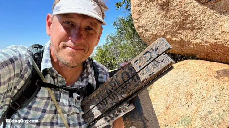
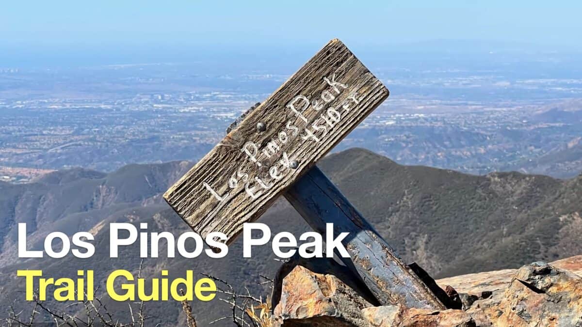
After the switchbacks the trail turns north and steadily climbs.After clearing Peak 2040 on the right, you'll get incredible views into San Juan Canyon. The high point across the canyon is Sitton Peak.You'll see the mile markers updating you on progress as you climb.You round a bend and get your first views of Sugarloaf.From the last viewpoint you can also see Santiago Peak.And also the Sugarloafs. The taller Old Sugarloaf is on the left, and the (new) Sugarloaf is on the right.Keep climbing up the beautifully maintained trail.If you look to the right, you'll see Margarita Peak poking above the closer peaks. Margarita Peak sits at the northern border of Camp Pendleton.The Sugarloafs loom larger as you approach.When you reach the base of Old Sugarloaf, look for the turnoff on the left, just before the trail turns sharply right. Sometimes it's just marked with a stone cairn. Today the mark was fancy.The beginning of the use trail to the summit is moderately steep and overgrown. The trail is easy to follow if you look at the ground for the path.Okay, now it's time to put the big kid pants on and really work. This image doesn't do the steepness justice, but trust me, you'll see it when you're there. You'll be climbing about 500 feet in 0.3 miles. Take it slow and steady.And here you are, at the summit!The views from here stretch from San Jacinto to Catalina. Slightly northeast is Los Pinos Peak.Okay, now you've got to descend that tough climb. Again, take your time, make sure your footing is solid, and stay safe. Directly ahead here is the other Sugarloaf, which is a much easier climb.At the bottom continue left on the San Juan Trail.As you head to the next Sugarloaf, look to the left and admire the tough climb you just did up Old Sugarloaf.The trail is very pleasant as you cover the last mile or so to the next climb.The trail winds around to the east side of Sugarloaf.At the wide junction, make the hard left and climb for a minute or two.And then look for the small and easy to miss use trail off to the left. Usually there's a cairn here marking the trail.Once you turn off the San Juan Trail, the use trail veers to the left.This use trail to the summit is overgrown and steep, but nothing even close to the climb up Old Sugarloaf.There are few boulders to climb up. Nothing too crazy.And then you go through this very photo-worthy split in the boulder.And here you are a the summit of (new) Sugarloaf.There's a nice flat rock here to take in the views and refuel.And that's it! From here, just head back down the San Juan Trail to the Hotsprings trailhead. Have fun!
Need More Info?
Have a question about the guide or want to see what other people are saying/asking? View the Youtube comments for this video. Leave a comment and I will do my best to respond.
When planning, always check the park website and social media to make sure the trails are open. Similarly, check the weather and road conditions.


 Using the Apple Watch for Hiking
 Garmin Fenix 7 & Epix Review For Hikers
 How To Read a Topographic Map
 Garmin GPSMAP 67i Review
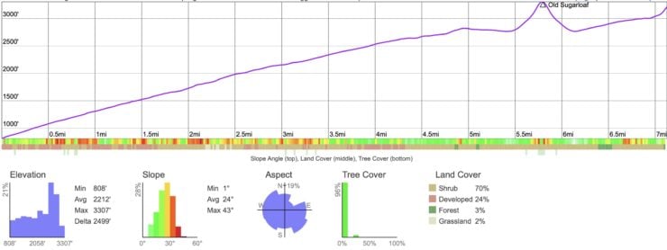
 Hike Los Pinos Peak (Orange County)
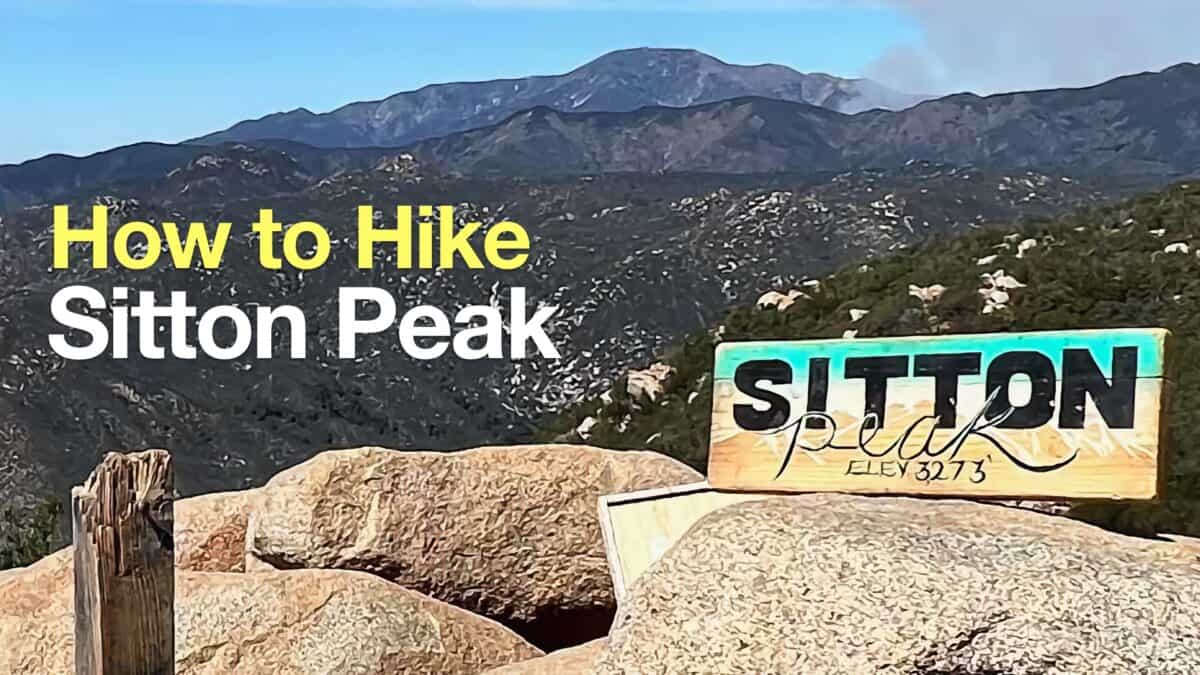 Sitton Peak Hike
 Hikes In and Around Orange County
 Cleveland National Forest Hiking
 Best Hiking Gear 2024
 Hiking Boots or Shoes: Do I Really Need Hiking Boots?
 When to Hit SOS on inReach