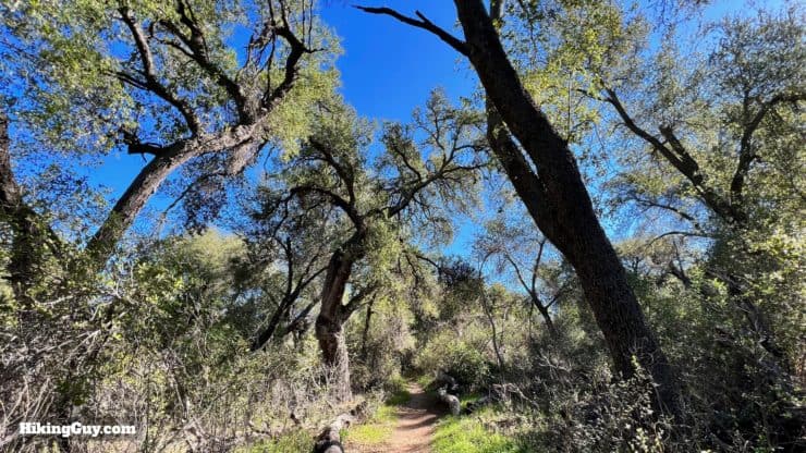
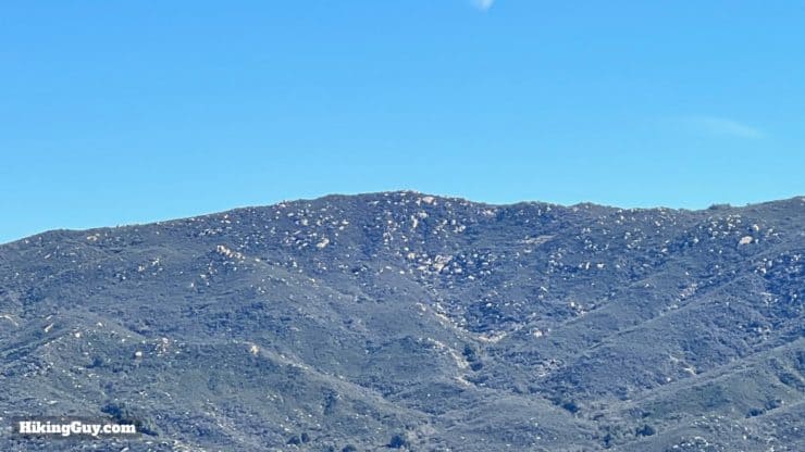
Although not one of the high peaks of Cleveland National Forest, Sitton Peak is one of the more popular ones to bag. The hike to Sitton Peak is challenging but not too harsh, and at the top, you are treated to panoramic views from Catalina to the SoCal high peaks. You'll also get to explore the San Mateo Wilderness, a protected area of unique and lush chaparral, oak woodlands, and coastal sage.
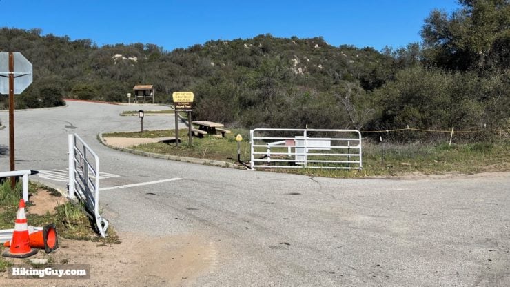
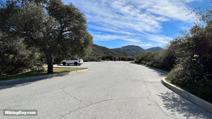
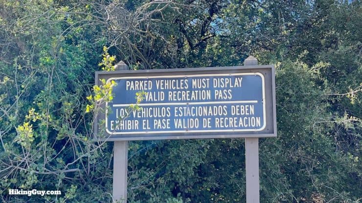
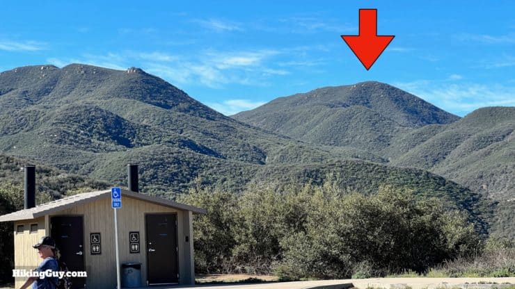
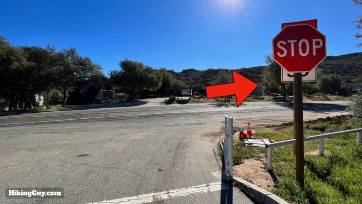
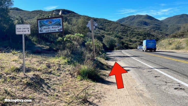
Look for the parking lot across the street from the Candy Store and trailer park.There's a huge parking lot with toilets available. Park on the lower parking level to be closest to the start of the hike.You need a parking pass here. I use an affordable National Parks Pass, which gets me in every national park, national monument, and national forest. You can also use an Adventure Pass or buy a day pass in the Candy Store across the street.From the parking lot you can see Sitton Peak.
Gear For the Hike
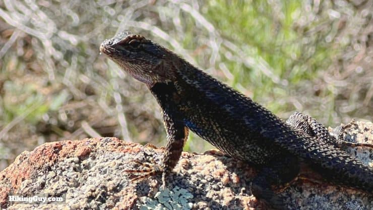
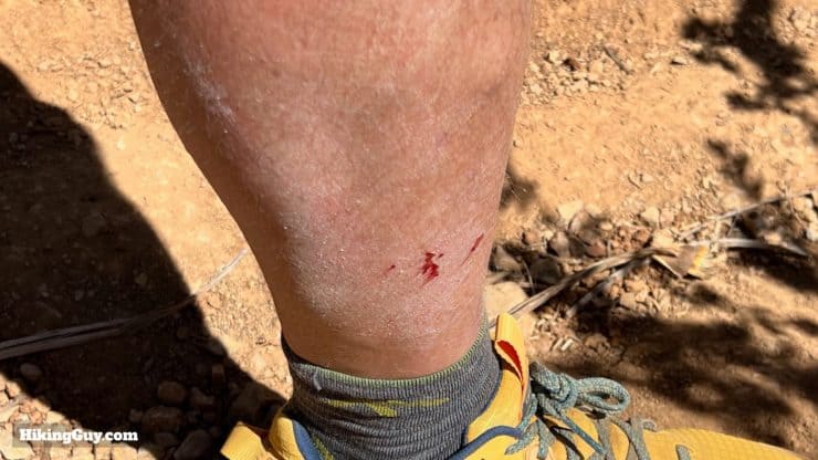
The warm temperatures here offer lizards a nice place to sun themselves. You'll see plenty of common lizards, but you might even spot a Coast Horned Lizard or snake. Have a camera ready for any interesting wildlife.The final climb up to the summit can be overgrown. If you don't want to scratch your legs up, long pants are probably a good idea.
As is standard in the Santa Ana Mountains, the summer can be brutally hot. The best time to hike Sitton Peak is during cooler days or at sunrise. Either way, bringing 2-3L of water is your best bet. Trekking Poles are helpful on the last little steep section. Insects can be annoying. Spraying some insect repellant on yourself can go a long way to maintain sanity,
Gear That I Love Right Now
Nothing is sponsored or promoted, just the actual gear that I use.
Here's the one-way elevation profile to the summit. There are some ups and downs, and until the very end, no steep grades.
3D Map
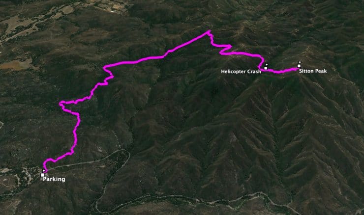
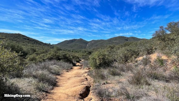
The trail winds up Bear Canyon, then cuts back to climb Sitton Peak.
Sitton Peak Hike Directions
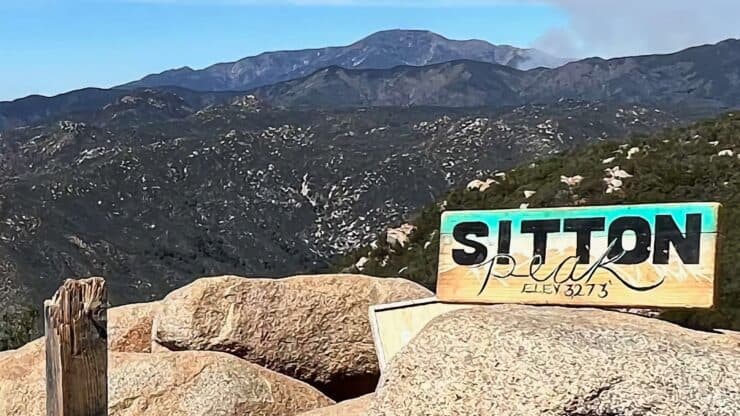
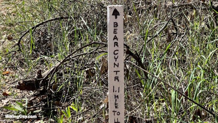
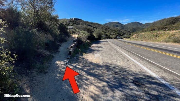
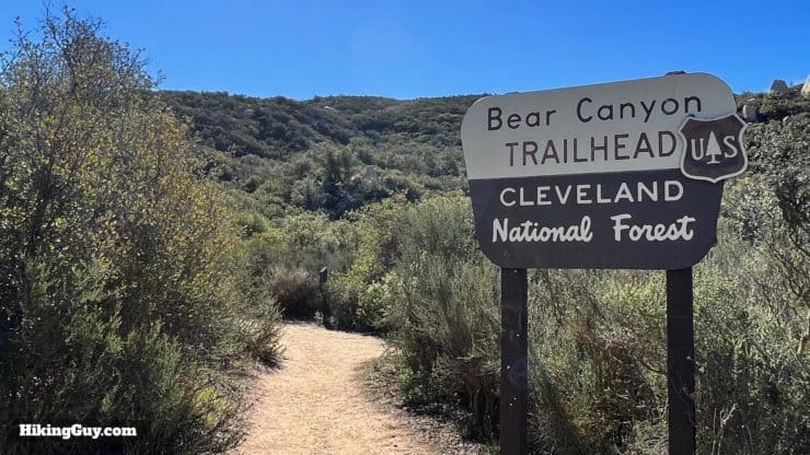
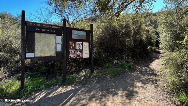
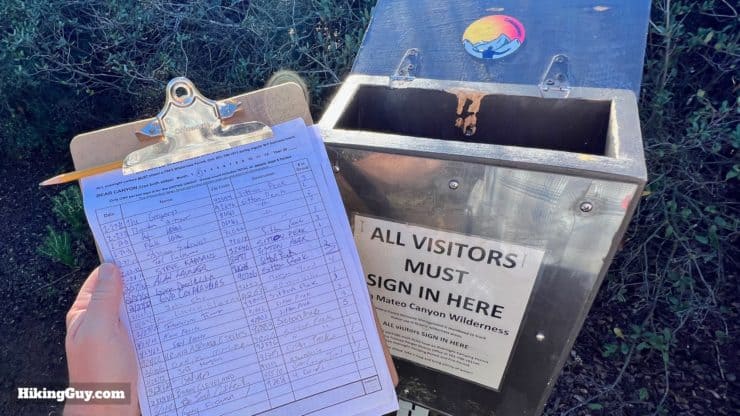
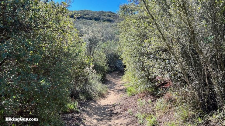
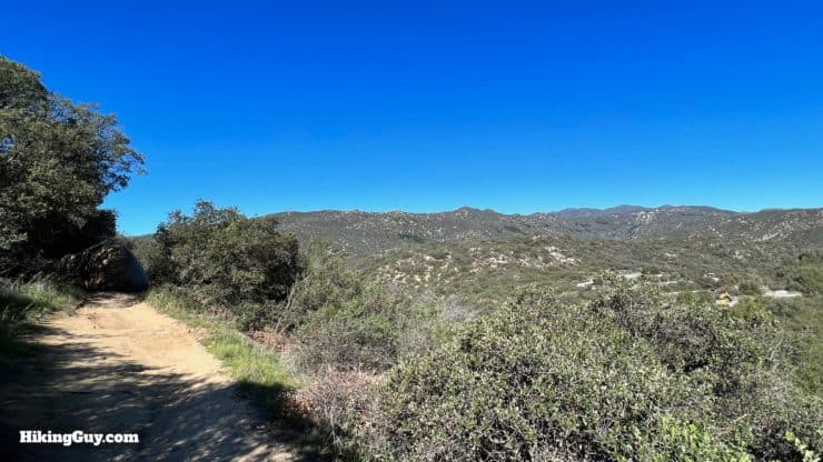
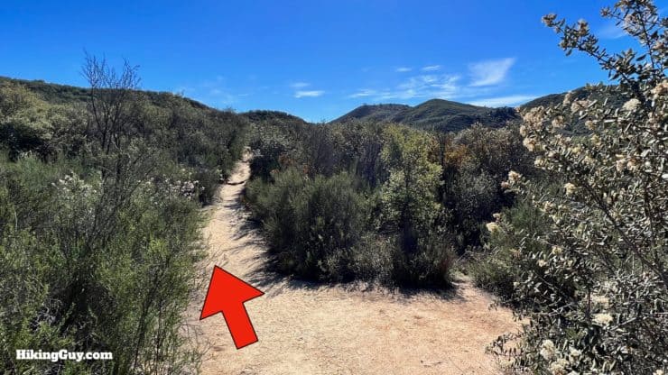
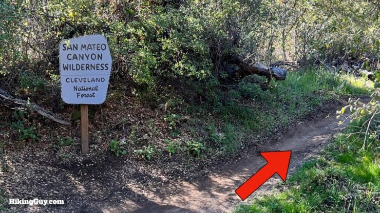
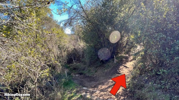
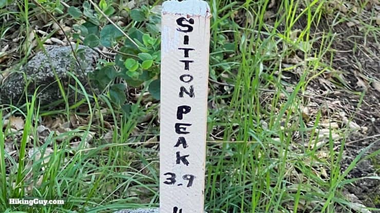
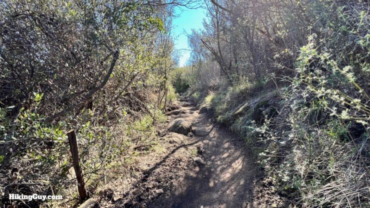
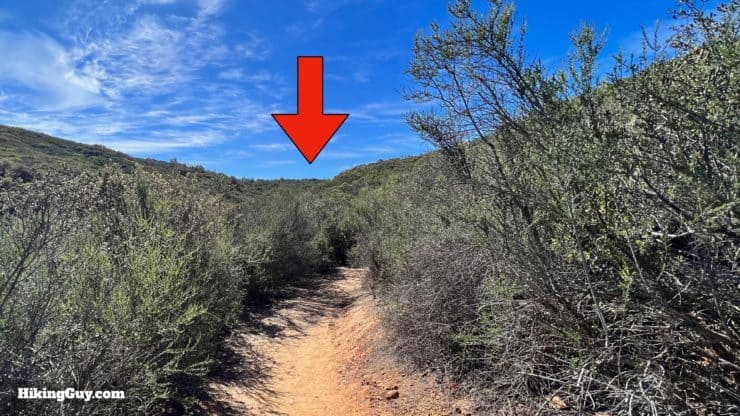
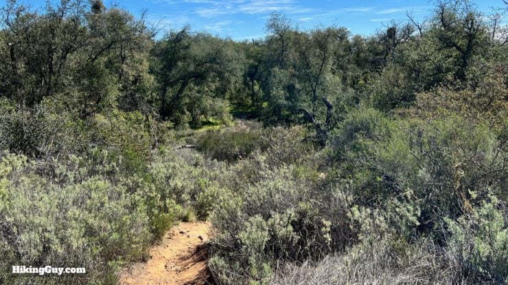
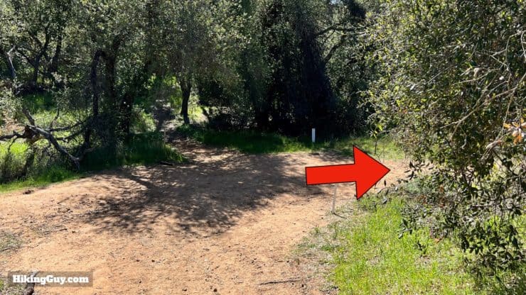
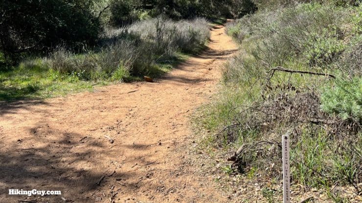
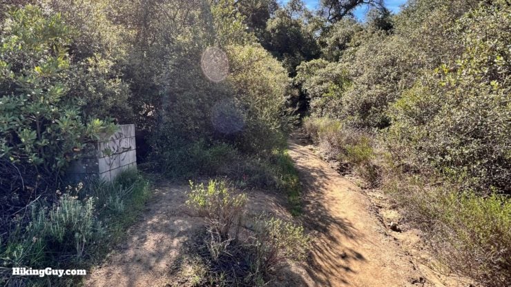
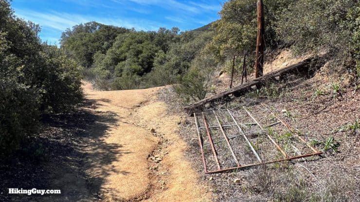
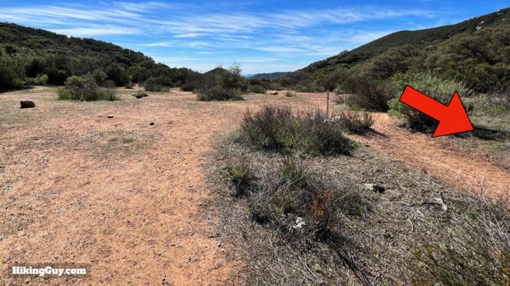
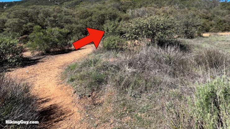
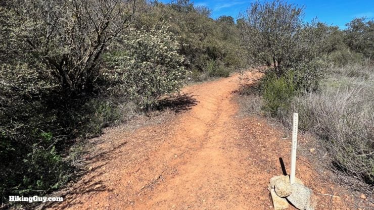
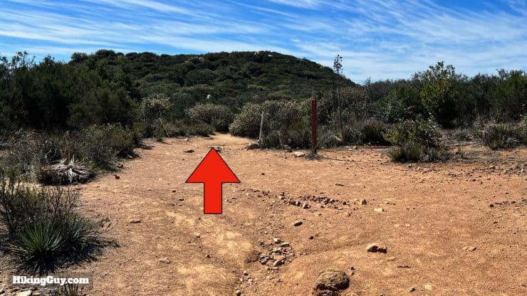
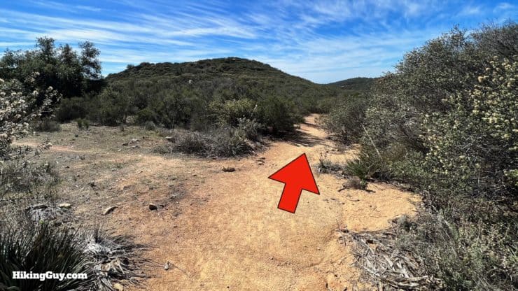
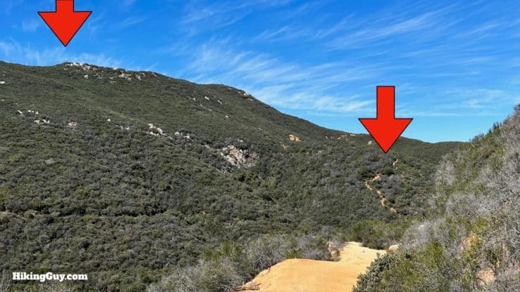
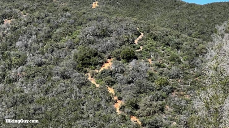
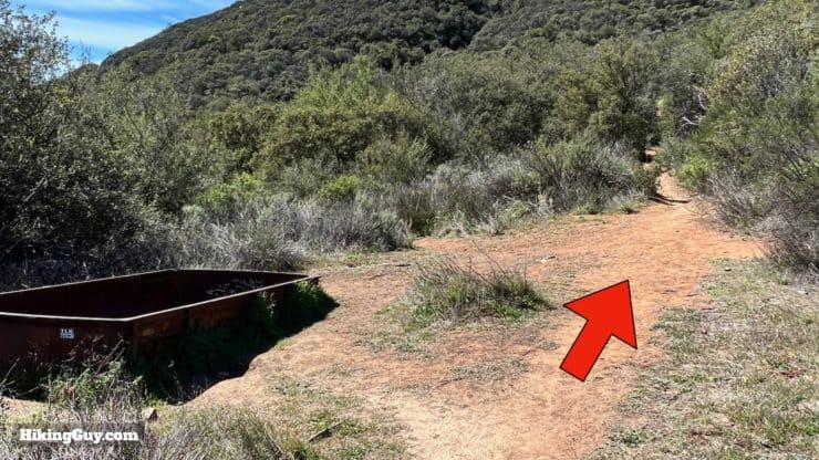
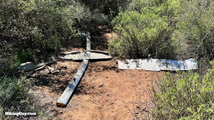
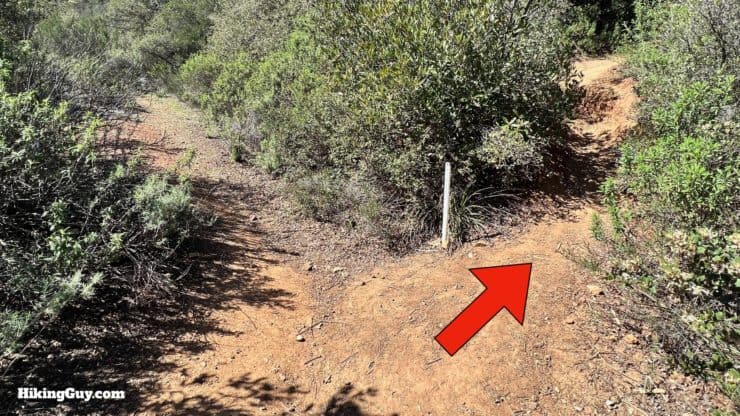
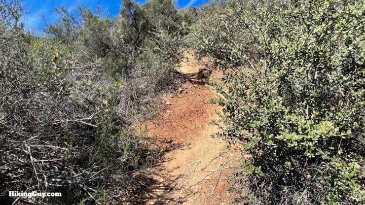
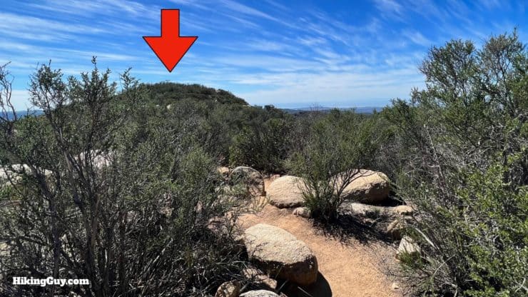
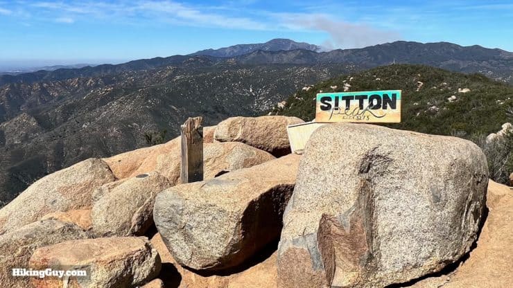
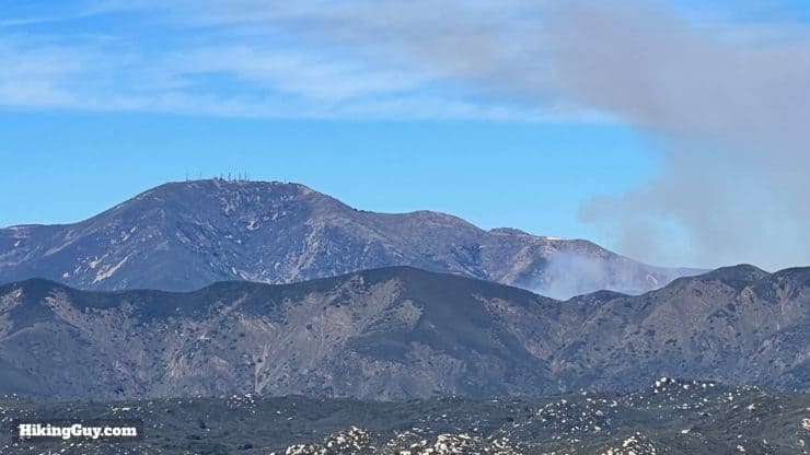
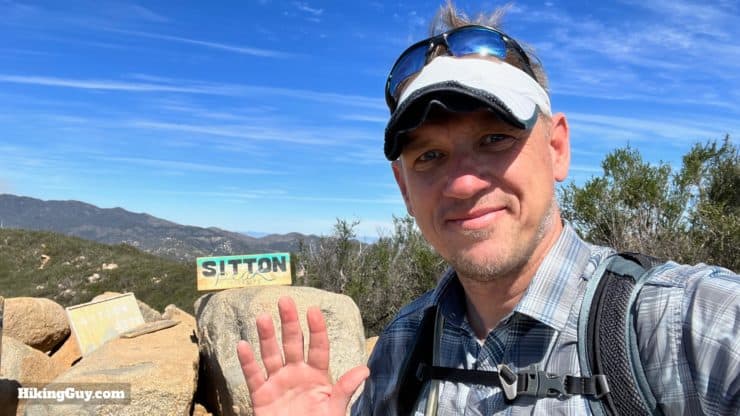
(Carefully) cross the street from the parking lot and walk down the other side to the right.Follow the roadside for a minute or two.And look for the trail leading up to the left.You'll see a sign for the Bear Canyon Trailhead.And just past that is the trail board with any notices, etc.Shortly after that is a trail sign-in form.And now with all the signs and roads out of the way, you can start hiking on the easy to follow Bear Canyon Trail.As you climb you'll get views over to Los Pinos Peak on the right.There are some small use trails. Just stay straight on the main trail.At about 0.8 miles you'll enter the San Mateo Wilderness. Here's why wilderness areas are so special.The fauna changes from scrub to shady oaksAnd then in about a mile, make the right and continue on the Bear Canyon Trail. To the left is the Morgan Trail, another fun hike.You'll see a trail sign for Sitton Peak. 3.9 miles to the summit.And now you continue to climb.When the brush opens up you'll be able to see the notch we'll go through shortly.You'll also get great views east to San Mateo Peak.At about 2 miles in, you'll start descending into a shaded canyon.And then make the hard right at the junction to continue on the Bear Canyon Trail.There's a trail sign here as the trail levels out.And then starts a long gradual downhill.At about 2.7 miles you'll pass Pigeon Spring (dry) and start climbing again.You'll also see some remnants of when this was all ranch land. Today it's a protected wilderness and closed to development and ranching.At about 3.2 miles you reach 4 Corners. Make the very hard (and counter-intuitive) right.The trail winds back to the right.And you'll see a marker for the Sitton Peak Trail.You'll get some great views over to Mt Baldy as you climb.At the top of the climb, keep straight.And then start to descend, avoiding the small side trails.As you descend around to the right, you'll see Sitton Peak come into view. You can also see the steep part of the trail.The steep part is tough, but from here you can see it's easy to follow.Keep going straight past the watering trough.Just past the trough, to the left in the brush, you can see helicopter wreckage. Tragically two Marines died here when their Bell AH-1 SuperCobra crashed on a training mission out of Camp Pendelton in 1986. Please be respectful.Shortly after the wreckage, look for a sharp right turn at the trail marker.Now the work begins. You have about a quarter of a mile of very steep uphill.When you gain the ridge, Sitton Peak is over to your left.And here you are at the summit. Hopefully there will be a sign or two for you to snap a photo with.
Sitton Peak first shows up on the 1901 USGS topographic map. I believe it was named after Albert Sitton of Fullerton, but if you have any info, please let me know.
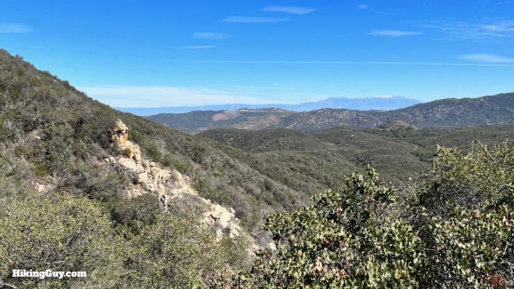
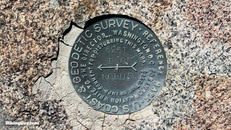
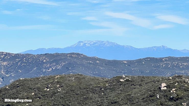
There's a summit marker from 1939.On clear day you can see Catalina.And on the other side, San Jacinto.And to the north, the highest point in Orange County, Santiago Peak.That's it! Just go back the way you came once you're done at the summit.
What Happened the Day I Made This Guide
Need More Info?
Have a question about the guide or want to see what other people are saying/asking? View the Youtube comments for this video. Leave a comment and I will do my best to respond.
When planning, always check the park website and social media to make sure the trails are open. Similarly, check the weather and road conditions.


 Using the Apple Watch for Hiking
 Garmin Fenix 7 & Epix Review For Hikers
 How To Read a Topographic Map
 Garmin GPSMAP 67i Review

 Caspers Wilderness Park - Hike San Juan Hot Springs
 Saddleback Mountain Hike (Santiago Peak)
 San Juan Loop Trail Guide (CA)
 Hike the Chiquito Falls Trail
 Morgan Trail Hike (Cleveland National Forest)
 Hike Los Pinos Peak (Orange County)
 San Juan Trail to Sugarloaf Peaks
 Hikes In and Around Orange County
 Cleveland National Forest Hiking
 Hikes In and Around Riverside County
 San Mateo Canyon Wilderness Hikes
 Best Hiking Gear 2024
 Hiking Boots or Shoes: Do I Really Need Hiking Boots?
 When to Hit SOS on inReach