
Tucked away in a remote corner of Cleveland National Forest, the waterfalls of Upper Hot Spring Canyon are truly wild and beautiful. Luckily it's a relatively easy hike to the first 15-foot waterfall, then a bit harder to the second, taller 25-foot waterfall, which I cover in this guide. After that point, this hiking guide ends because Lower Hot Spring Canyon lacks a trail and is known as one of the most challenging canyoneering routes in SoCal. But this more leisurely hike in the upper canyon will give you a taste of the beauty without having to mount a major expedition.
- Video and Turn-by-Turn Directions to Hike Upper Hot Spring Canyon
- The Safe Waterfalls and the Dangerous Waterfalls
- Parking for the Upper Hot Spring Canyon Hike
- Insider Tips and Recommendations
This hike is best done in winter when there's some water flowing and the fauna is green.
What Makes Hot Spring Canyon So Epic?
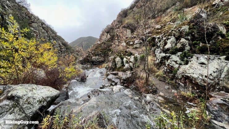
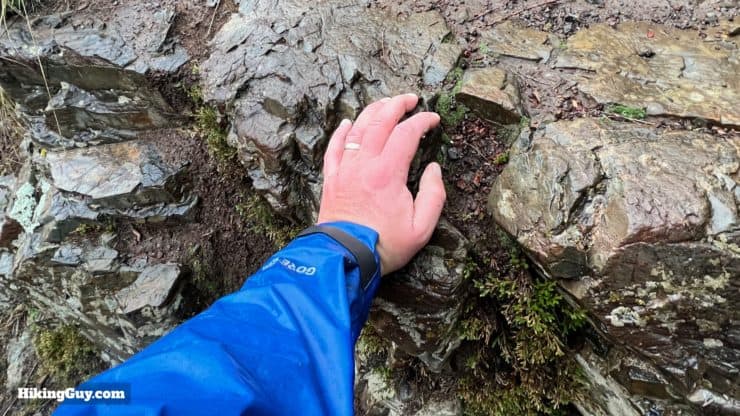
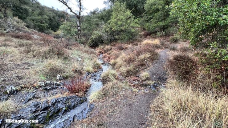
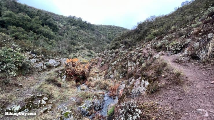
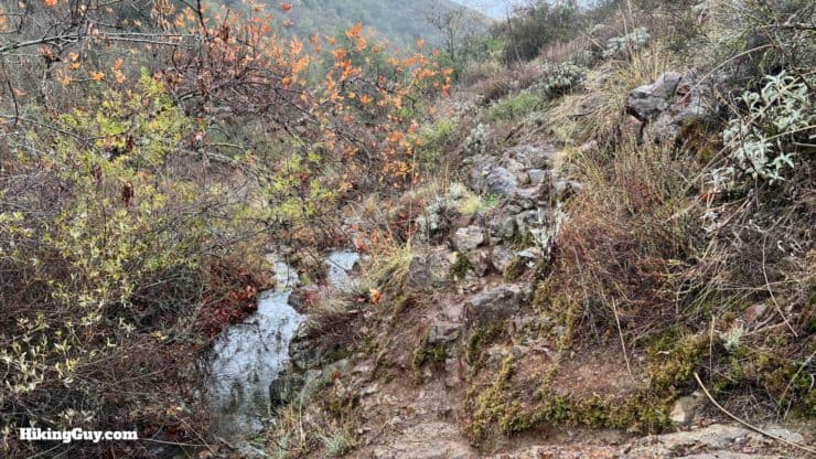
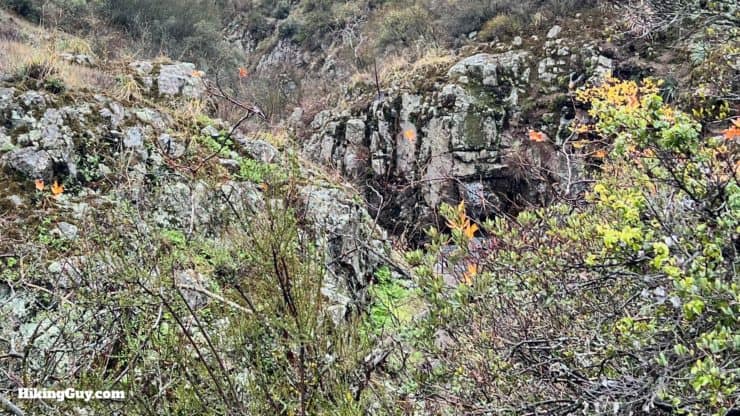
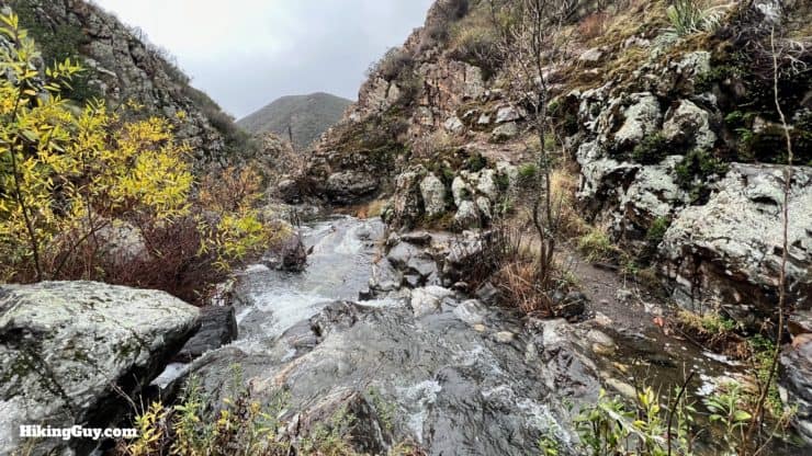
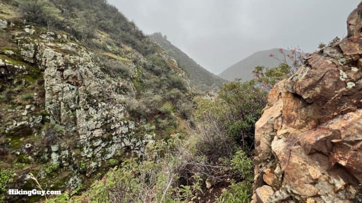
Hot Spring Canyon is one of the most remote and unexplored canyons in the Santa Ana Mountains. This hike starts upstream at the headwaters, and as you hike down along Hot Spring Creek, the water flow will pick up as tributaries join the main creek. The stream can be dry in the summer, and the hike more of a rock hop. However, the creek can build to a swift torrent during the winter rains, making the slick granite treacherous. Moss-covered granite cliffs, interspersed with cacti, oak trees, poison oak, and aquatic grasses, line the trail as you venture onward.
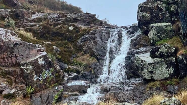
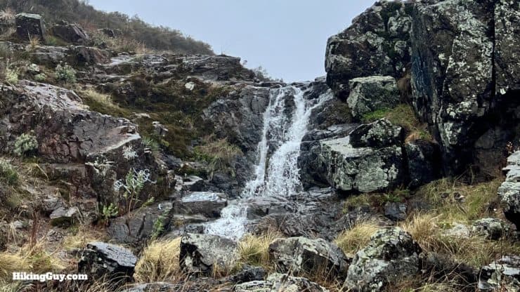
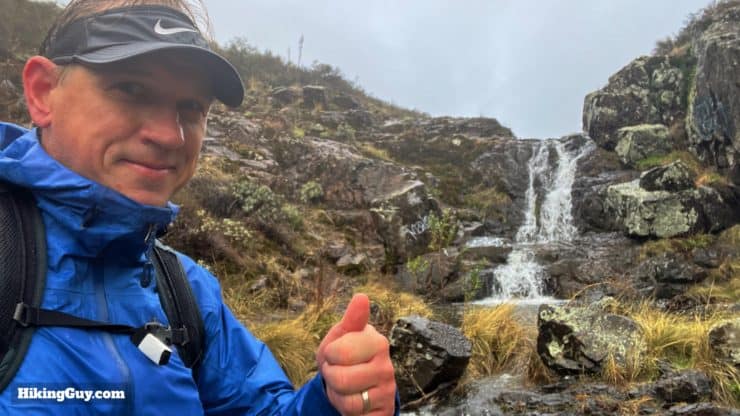
There are two distinct sections of this hike. The first half to the 15-foot "first falls" is rugged but tame enough for most to reach. I've seen 9-10 year old Girl Scouts successfully hike to this waterfall. After that, the canyon walls steepen and the trail gets distinctly more challenging as you hike toward the 25-foot "second fall." There is a trail on this stretch, but expect to cross the creek multiple times, and navigate narrow stretches along the cliffside. At the end, you'll be able to view the "second fall" from the top.
Past this point, there's no trail, just cliffs, waterfalls, poison oak, and some of the most rugged terrain in SoCal. Although some experienced hikers venture past here (or hike up from the bottom, starting by the Lazy W Ranch), it's generally considered more of a canyoneering exercise. To give you an idea of how tough it is, one canyoneering guide recommends 10-14 hours to cover the 7 miles of the canyon. For those who can do it, the payoff is the largest (and probably least-seen) waterfall in the Santa Ana Mountains, the 160 foot Tanrverdi Falls.
I don't recommend going past where this guide ends unless you know what you are doing and the conditions are favorable. I've explored into the canyon during the dry season, and there were sections that, in retrospect, I wouldn't attempt again. As the canyoneering guide put it, "(the canyon) will most likely leave you with great memories and absolutely no desire to go back." The extreme nature of this canyon makes falls, sprained ankles, and broken bones a distinct possibility. Evacuation from the narrow canyon will not be easy. Also note that in recent years an experienced climber has died after falling in the lower canyon.
Ken Croker, one of the main forces behind the creation of the San Mateo Wilderness, wanted Hot Spring Canyon to be protected as well. He suggested that a trail be built to Tanrverdi Falls from the lower approach, starting by Lazy W Ranch.
Where is the Upper Hot Spring Canyon Waterfall Hike?
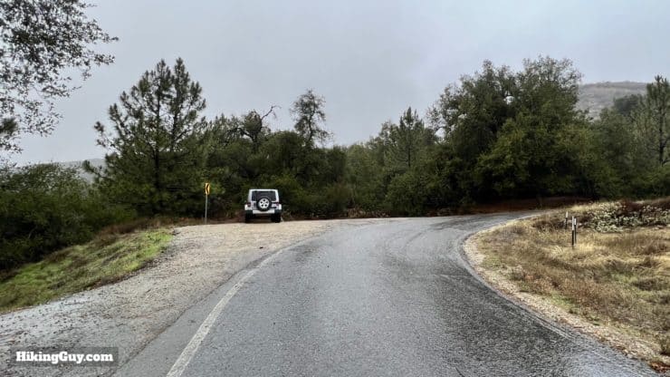
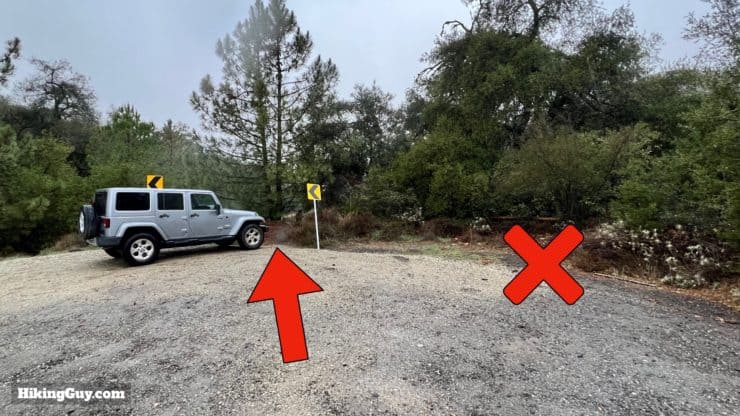
The hike starts from a small roadside parking area by the Falcon Group Campground, a short drive off of the main CA-74 route through the Santa Ana Mountains. Use this trailhead address:
Falcon Group Campground, Main Divide Truck Trail, Lake Elsinore, CA 92530
Gear For the Hike
Even on the easy parts of the hike, the trail can be overgrown, narrow, rocky, and wet. You're going to want to wear long pants, have insect repellant, and bring trekking poles to clear away brush if that's your thing. For me, I just do long pants and long sleeves, and apply repellant liberally. If it's raining or winter, there can be times where you will have to get your feet wet to move forward. When it's dry, it's much easier to hop over the rocks and otherwise tricky sections.
Gear That I Love Right Now
Nothing is sponsored or promoted, just the actual gear that I use.


Upper Hot Spring Canyon Trail Maps
How Will You Navigate?
 Using the Apple Watch for Hiking
 Garmin Fenix 7 & Epix Review For Hikers
 How To Read a Topographic Map
 Garmin GPSMAP 67i Review
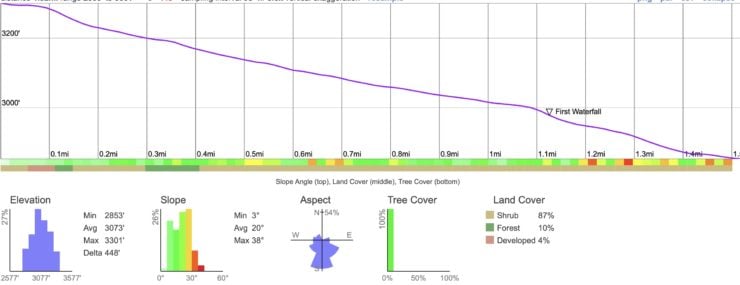
Elevation Profile
Finding Your Way
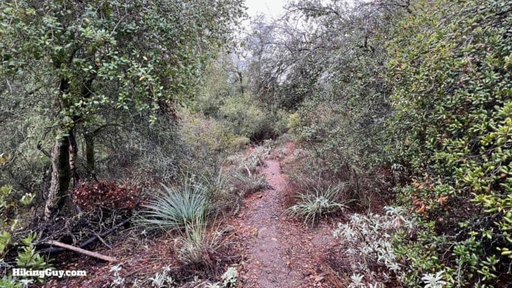
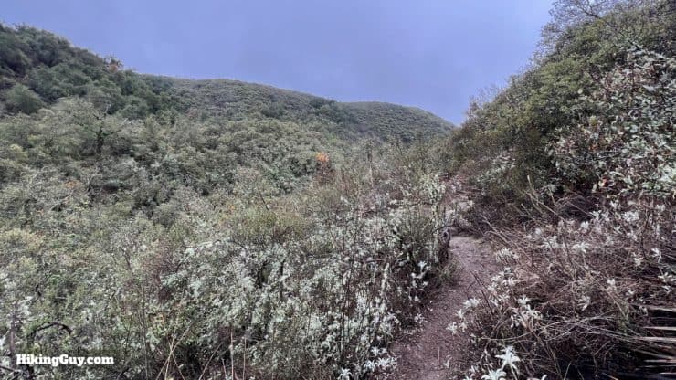
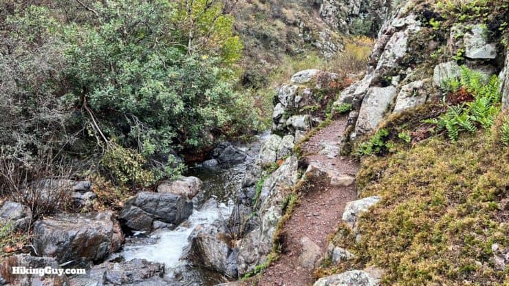
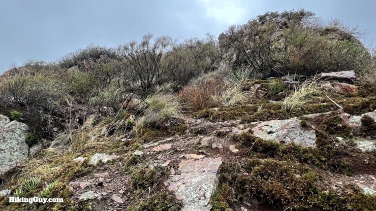
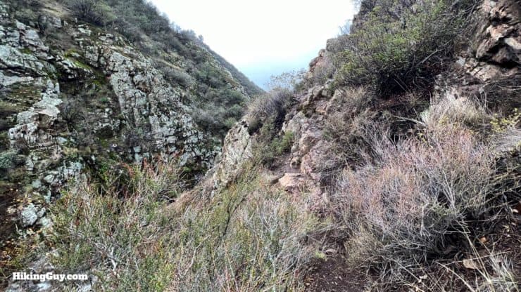
Okay, first of all, let's talk about the trail. This isn't an official trail, but it is a popular use trail, especially the portion to the first waterfall. In general, it's easy to follow and wide enough to see. After that, it's a smaller (but there) trail to the second fall.
- There are points where the trail will go around obstructions.
- The trail follows Hot Spring Creek. If you're not following the direction of the creek, you're not going the right way.
- If you don't see the trail along the stream, look up to the sides.
- In a few sections you'll be the stream bed. If it's raining, this could mean walking in the water.
- When raining, the rocky portions of the trail can be very slippery, especially when covered by leaves or wet grass.
- Expect to travel slower than usual, especially on the more primitive sections of the hike or in wet conditions.
3D Map
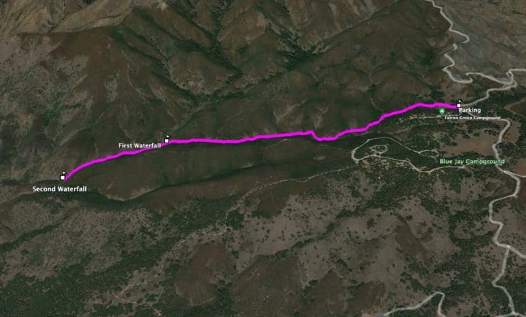
Upper Hot Spring Canyon Waterfall Hike Directions
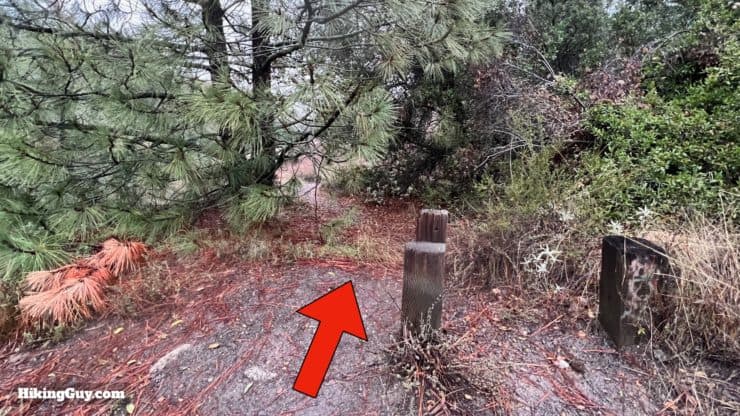
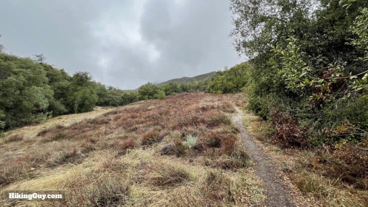
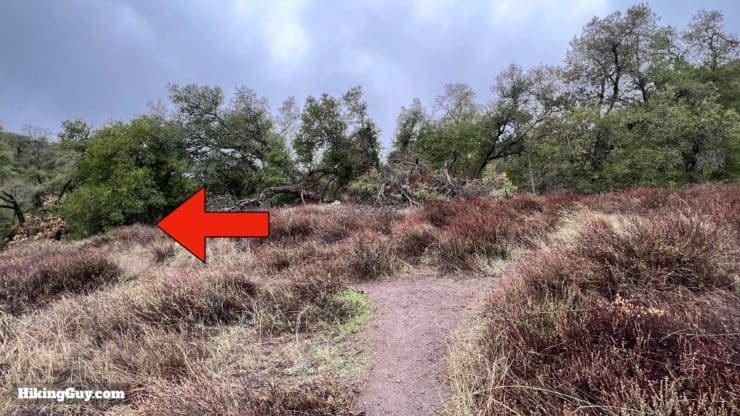
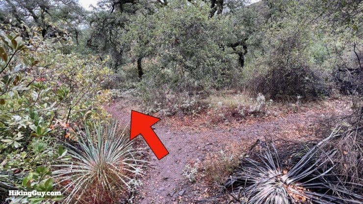
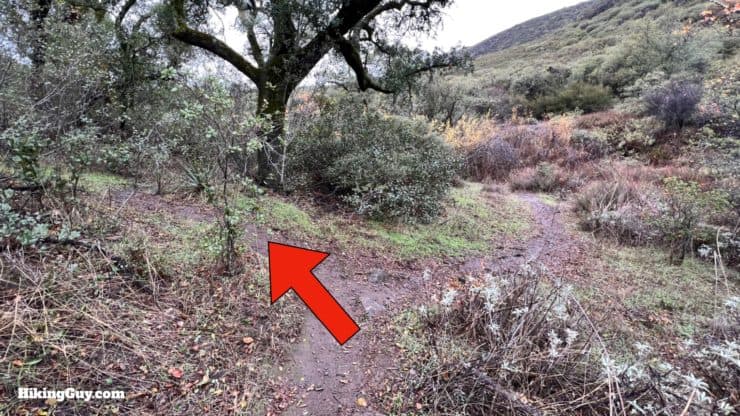
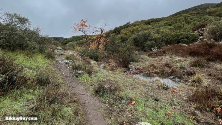
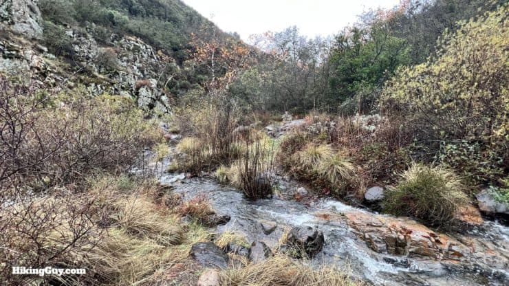
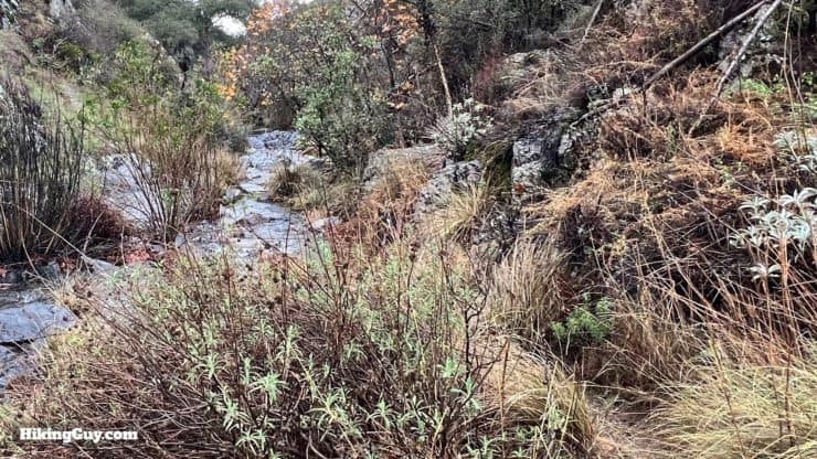
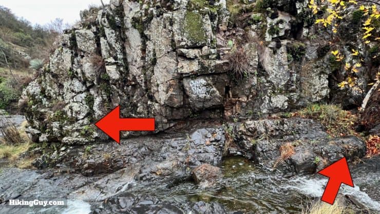
I will show you some examples of what the trail does along the creek in the following images. But in general, you will follow the creek downstream. The trail will meander back and forth around the creek, sometimes climbing up, sometimes staying in the creek. Sometimes there are multiple options. Just keep following the trail downstream, and you're heading in the right direction.

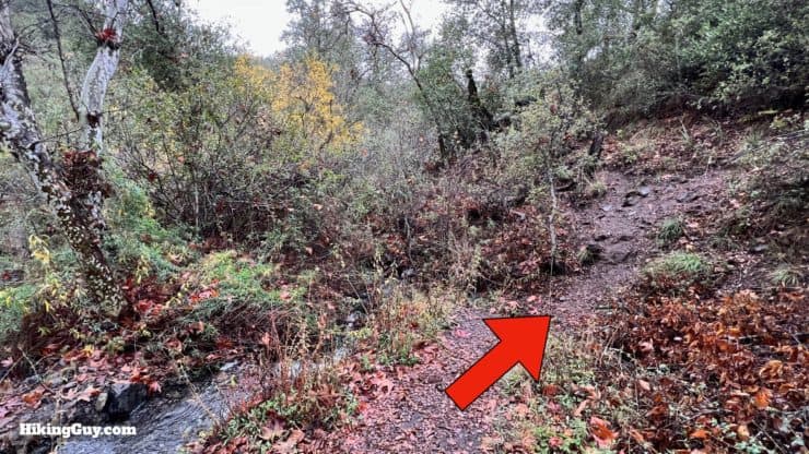
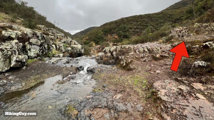
If you're just going for the first falls, you can turn around here and head back the way you came. Otherwise, you can continue to the second falls, but know the trail becomes much more challenging, especially if water is flowing.
Hiking past the last photo is not recommended.
From here, head back the way you came.
Need More Info?
- Have a question about the guide or want to see what other people are saying/asking? View the Youtube comments for this video. Leave a comment and I will do my best to respond.
- When planning, always check the park website and social media to make sure the trails are open. Similarly, check the weather and road conditions.
Related Guides
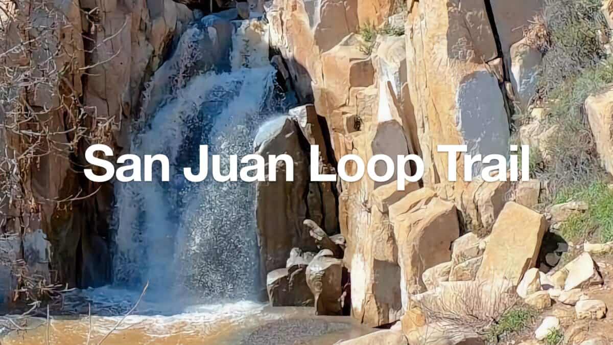 San Juan Loop Trail Guide (CA)
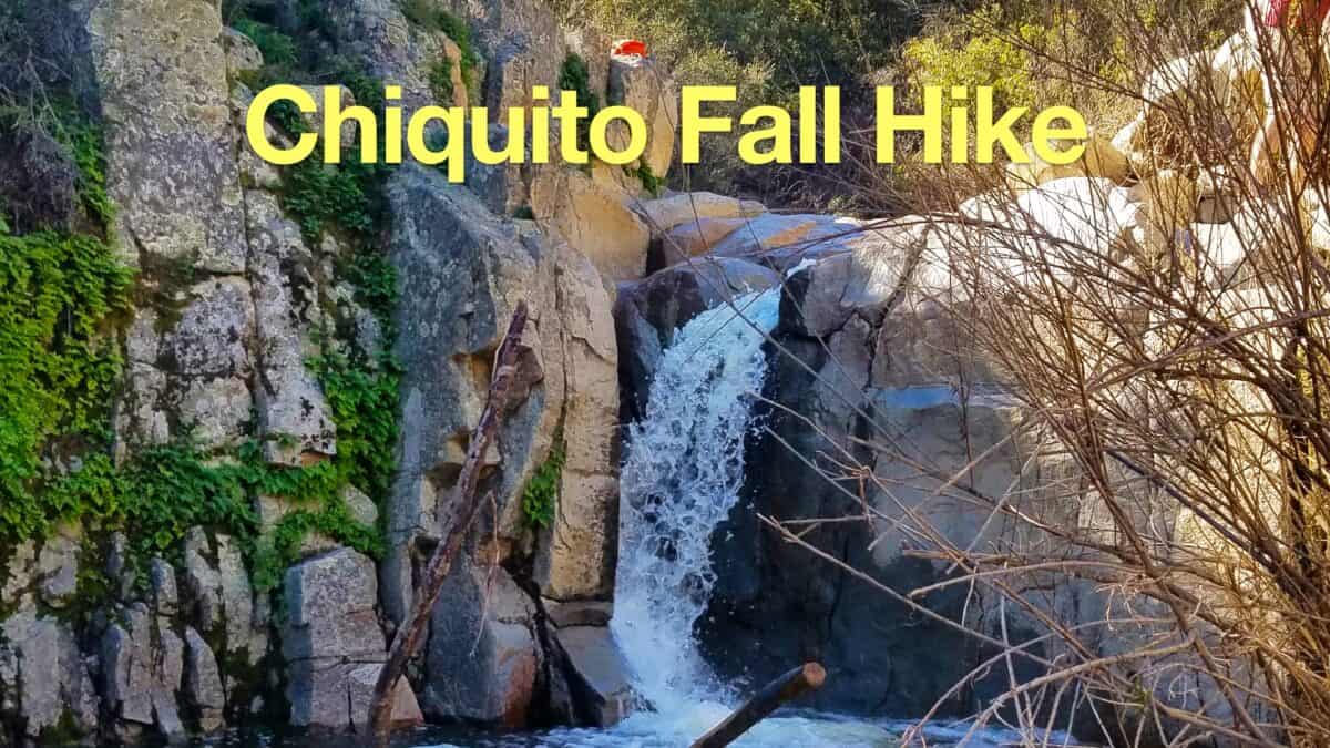 Hike the Chiquito Falls Trail
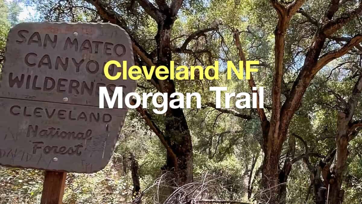 Morgan Trail Hike (Cleveland National Forest)
 Hike San Mateo Peak (Cleveland National Forest)
 Hikes In and Around Orange County
 Cleveland National Forest Hiking
 Hikes In and Around Riverside County
 San Mateo Canyon Wilderness Hikes
Popular Guides
 Best Hiking Gear 2024
 Hiking Boots or Shoes: Do I Really Need Hiking Boots?
 When to Hit SOS on inReach
This Guide Was Written by Cris Hazzard

Hi, I'm Cris Hazzard, aka Hiking Guy, a professional outdoors guide, hiking expert, and author based in Southern California. I created this website to share all the great hikes I do with everyone else out there. This site is different because it gives detailed directions that even the beginning hiker can follow. I also share what hiking gear works and doesn't so you don't waste money. I don't do sponsored or promoted content; I share only the gear recommendations, hikes, and tips that I would with my family and friends. If you like the website and YouTube channel, please support these free guides (I couldn't do it without folks like you!). You can stay up to date with my new guides by following me on YouTube, Instagram, or by subscribing to my monthly newsletter.