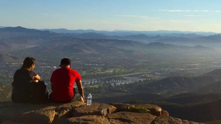

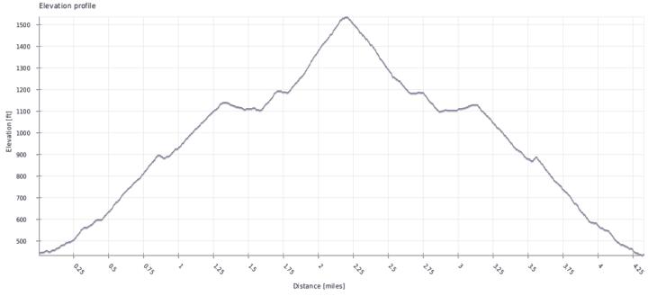
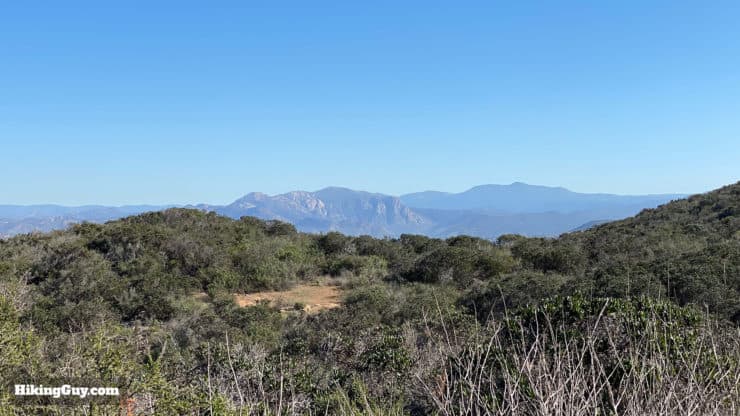
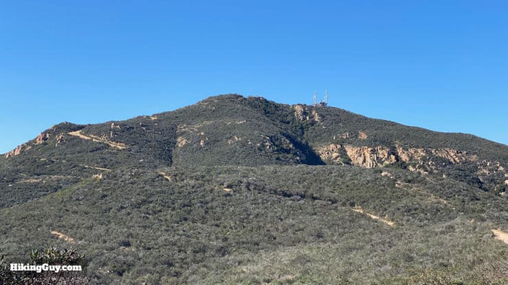
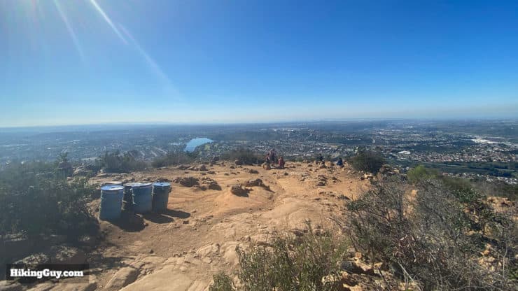
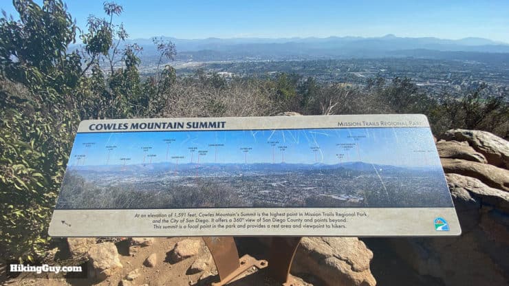
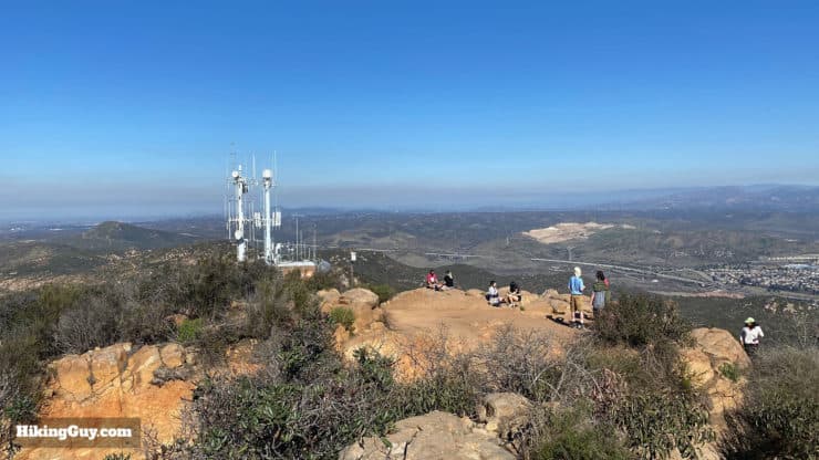
The Cowles Mountain hike brings you to the highest point in San Diego at 1,593ft, with views from Mexico to Orange County. Cowles Mountain is also one of the most popular hikes in San Diego, so I've routed this hike up the less trafficked and more scenic "back way" up the mountain. It's a fun, safe beginner hike, and a must-do if you're in San Diego.
- Turn by Turn Hike Directions & Video
- Cowles Mountain Trail Maps
- How to Get to Cowles Mountain
Cowles Mountain is named after George A. Cowles, who was a rancher, farmer, and businessman here in the 1870s-80s. Orginally from the East Coast, Cowles moved to San Diego, expanded his fortune and became known as the "Raisin King of the US." Today Cowles Mountain is part of Mission Trails Regional Park, the largest municipally owned park in Southern California (7th largest in the USA) at nearly 7,000 acres.
Where is Cowles Mountain?
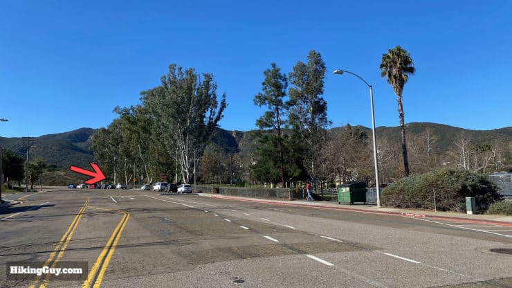
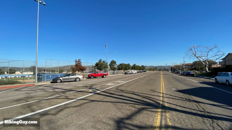
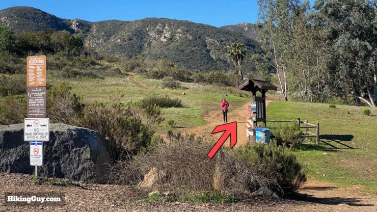
Use this as the GPS trailhead address: 8282 Mesa Rd, Santee, CA 92071
Parking is on the street and free. There is a bathroom in Big Rock Park, just before the trailhead.
Gear for the Hike
You don't need any special hiking gear for the Cowles Mountain Hike, you can do it with fitness clothes. In fact, when I did this trip report, I saw a guy in a thong doing the hike. Luckily, I wasn't hiking behind him. Generally I use light hiking gear for the best experience.
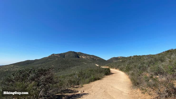
The trail is mostly exposed and can get very hot. Bring at least 1-2L of water. In the summer you can also get bugs, so insect repellant helps. Trekking poles come in handy on the steep ups and downs.
Gear That I Love Right Now
Nothing is sponsored or promoted, just the actual gear that I use.


Cowles Mountain Trail Maps
How Will You Navigate?
 Using the Apple Watch for Hiking
 Garmin Fenix 7 & Epix Review For Hikers
 How To Read a Topographic Map
 Garmin GPSMAP 67i Review
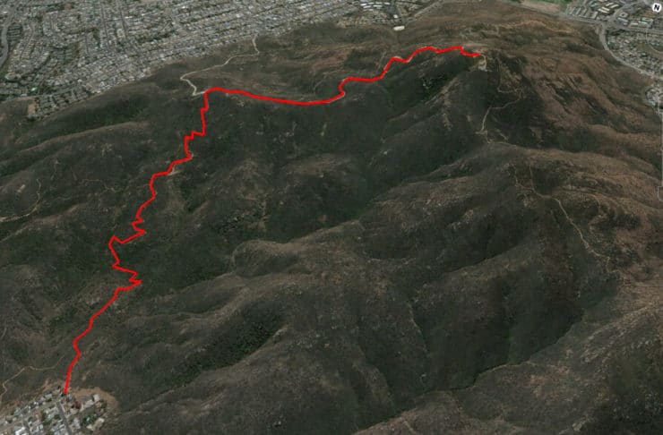
Mission Trails Region Park also has a full trail map if you'd like to explore more of the park.
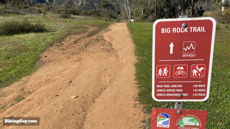
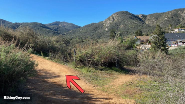
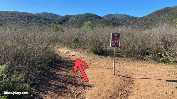
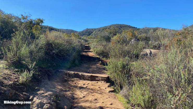
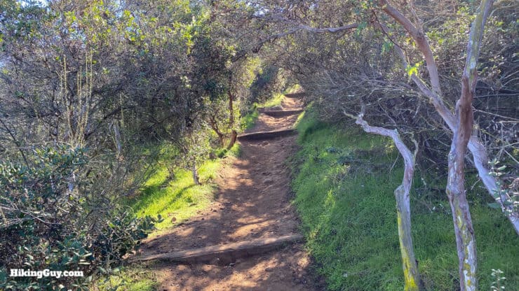
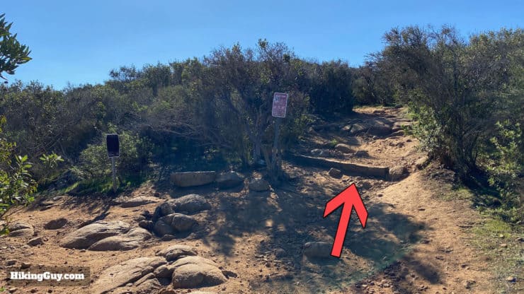
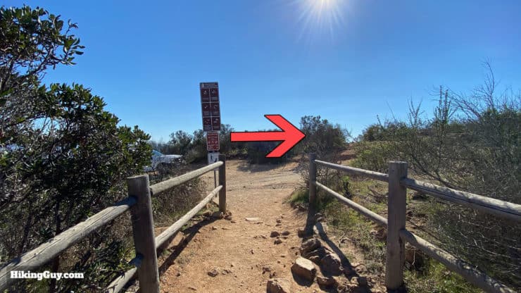
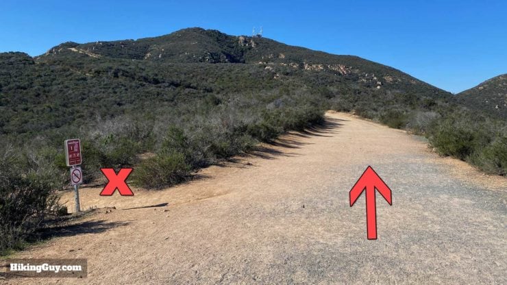
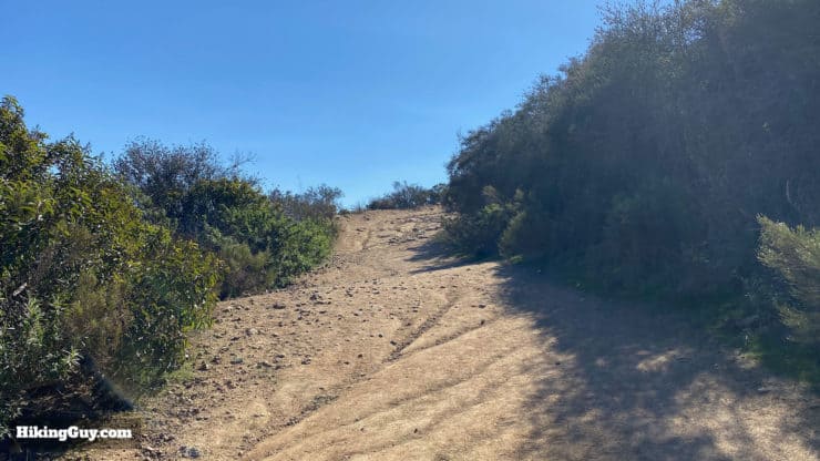
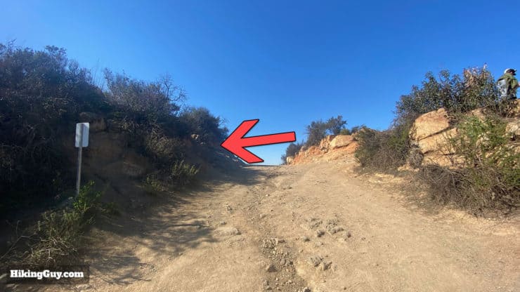
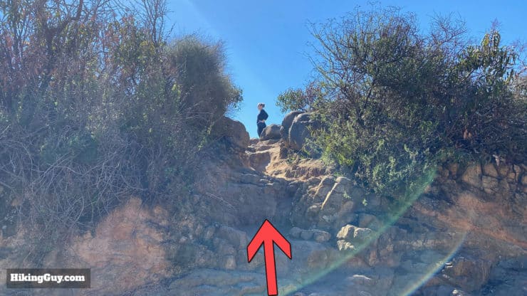
How to Hike Cowles Mountain

Need More Info?
- Have a question about the guide or want to see what other people are saying/asking? View the Youtube comments for this video. Leave a comment and I will do my best to respond.
- When planning, always check the park website and social media to make sure the trails are open. Similarly, check the weather and road conditions.
Related Guides
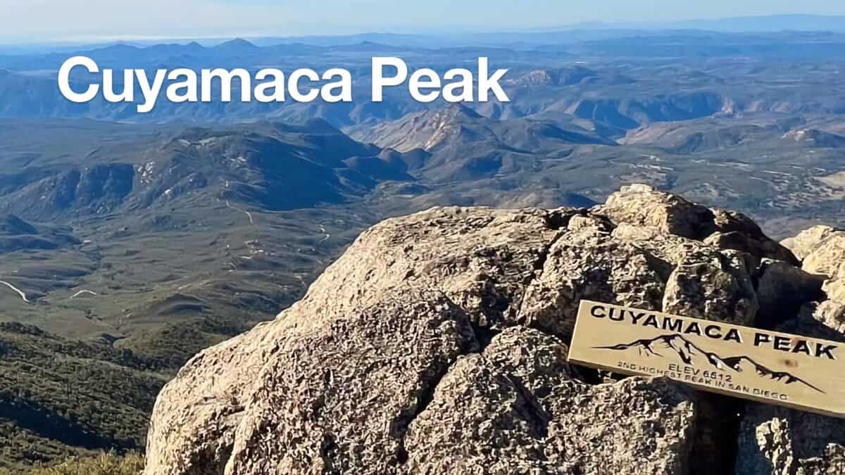 Hike Cuyamaca Peak
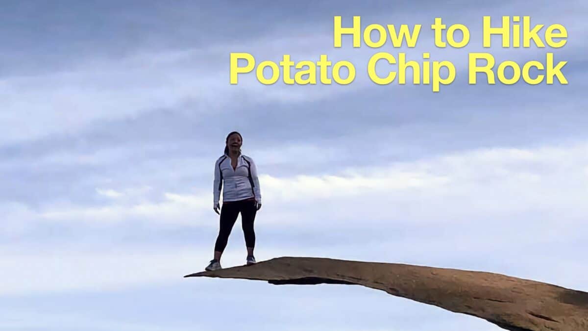 Potato Chip Rock Hike (San Diego)
 Hike Batiquitos Lagoon Trail
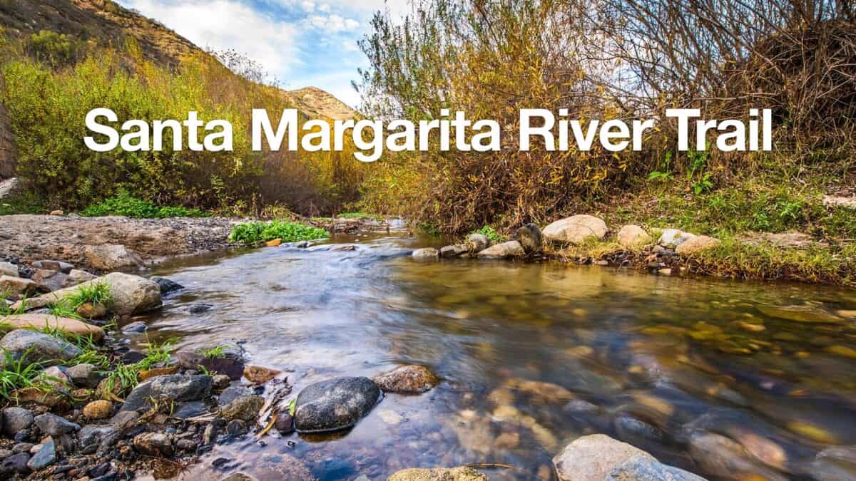 Santa Margarita River Trail
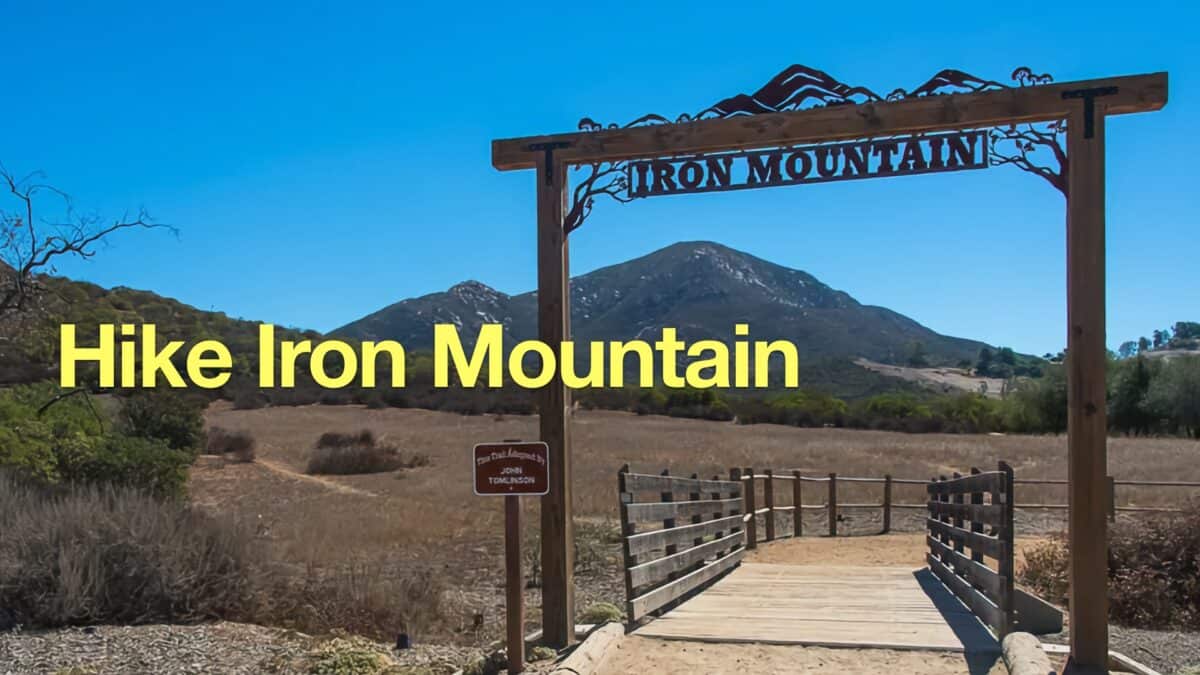 Hike Iron Mountain (San Diego)
 Monserate Mountain Trail Loop Hike
 El Cajon Mountain Trail Guide
 Hiking San Diego
Popular Guides
 Best Hiking Gear 2024
 Hiking Boots or Shoes: Do I Really Need Hiking Boots?
 When to Hit SOS on inReach
This Guide Was Written by Cris Hazzard

Hi, I'm Cris Hazzard, aka Hiking Guy, a professional outdoors guide, hiking expert, and author based in Southern California. I created this website to share all the great hikes I do with everyone else out there. This site is different because it gives detailed directions that even the beginning hiker can follow. I also share what hiking gear works and doesn't so you don't waste money. I don't do sponsored or promoted content; I share only the gear recommendations, hikes, and tips that I would with my family and friends. If you like the website and YouTube channel, please support these free guides (I couldn't do it without folks like you!). You can stay up to date with my new guides by following me on YouTube, Instagram, or by subscribing to my monthly newsletter.