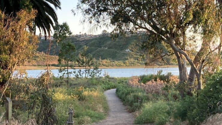

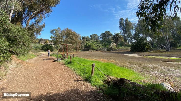
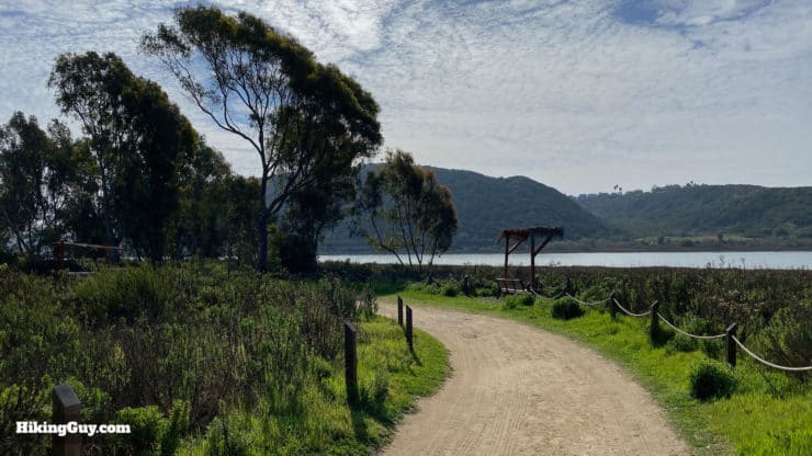
The Batiquitos Lagoon Trail hike is easy and peaceful, offering a great way to experience one of the few remaining tidal wetlands in Southern California. There's lots of wildlife, a nice mix of sun and shade, and a family and stroller-friendly path that's great for everyone. The Batiquitos Lagoon Trail is also right off of Interstate 5 in Carlsbad, making it a convenient place to connect with nature amidst interstates, tourist attractions, and other development.
- Video & Turn by Turn Directions for Batiquitos Lagoon Trail
- Parking for Batiquitos Lagoon Trail
- Everything You Need to Know Before You Go
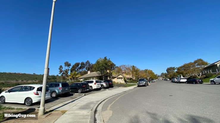
Batiquitos Lagoon Trail Parking
The good news is that parking for the Batiquitos Lagoon Trail is free. The bad news is that there's not a lot of it. There's a small parking lot by the trailhead, but otherwise you can park on the residential streets for free. If you park on the street, please be respectful of the people in the neighborhood. That means don't block their driveways, leave trash outside of your car, play loud music, etc. Be warned; if you park in a "no parking" zone or block a driveway, you will be ticketed and towed.
The Batiquitos Lagoon Trail is open from dawn to dusk, every day.
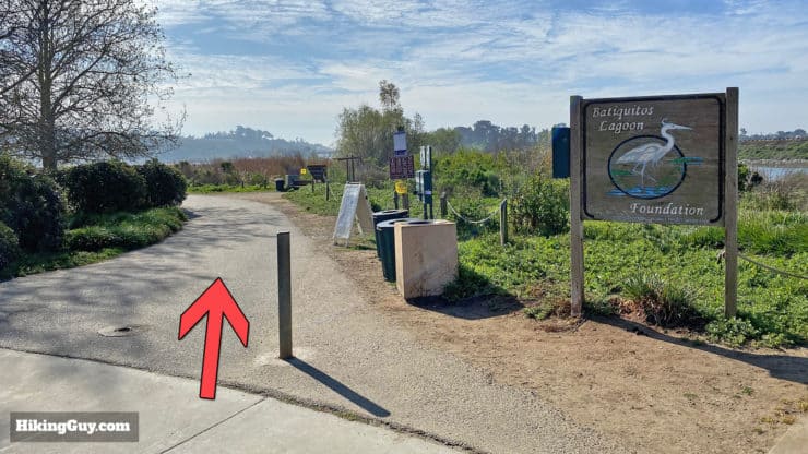
There are several " Batiquitos Lagoon Parking" areas on Google Maps, all at different points along the trail. But to start the trail from the beginning, use this trailhead address:
Batiquitos Lagoon Foundation, 7380 Gabbiano Ln, Carlsbad, CA 92011
Gear for the Hike
This is an easy and mellow hike, and you don't need any special gear for it. I wear light hiking gear, but fitness clothes work great too. In a pinch, you can get away with casual clothing but it might not be the most comfortable. There is no water along the trail, so bring 1L of water to stay hydrated.
Gear That I Love Right Now
Nothing is sponsored or promoted, just the actual gear that I use.


Batiquitos Lagoon Trail Maps
How Will You Navigate?
 Using the Apple Watch for Hiking
 Garmin Fenix 7 & Epix Review For Hikers
 How To Read a Topographic Map
 Garmin GPSMAP 67i Review
Hike Brief
- "Batiquitos" means "little watering hole" as originally named by the Spanish explorers who visited here in 1769.
- Native peoples have been living by the fertile lagoon for thousands of years, with the earliest site found dating back 6,000 BC.
- Development on the coast took its toll, and by the 1980s, 90% of California's coastal wetlands had been destroyed. Only five species of fish were left. Batiquitos Lagoon was almost silted up and expected to be fully filled (and gone) within 50 years.
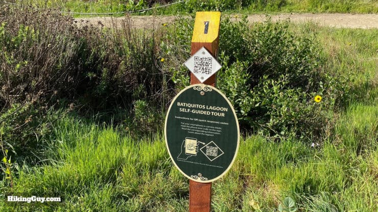
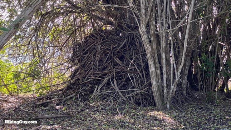
- Realizing it was important to save Batiquitos Lagoon, the tide started to turn in the 1990s (pun!). The Port of Los Angeles dredged the lagoon out and more fish species came back to breed, which then attracted the birds, and then the mammals. The lagoon became a state conservation area. An incredible volunteer organization, the Batiquitos Lagoon Foundation, organized a wide range of activities to help the lagoon and involve the community. You can visit their nature center at the start of the hike. Today the lagoon is a thriving natural area.
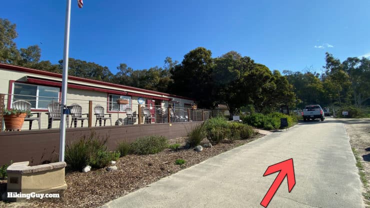
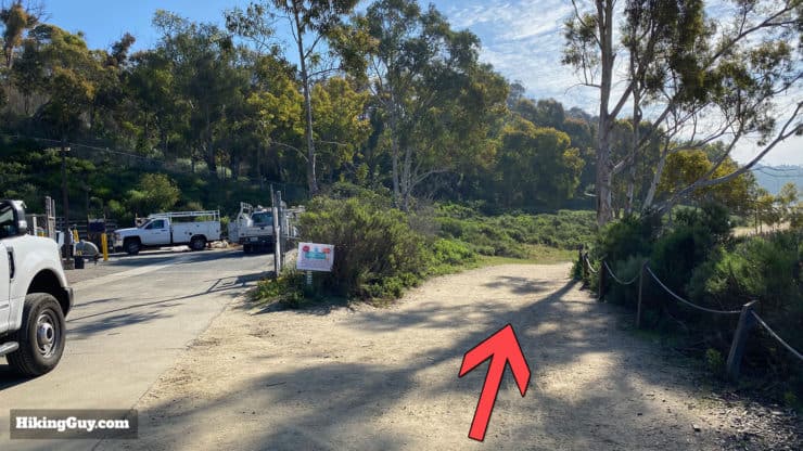
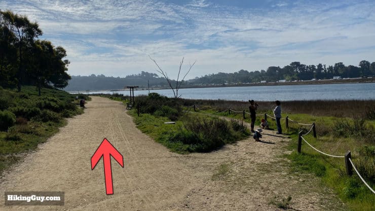
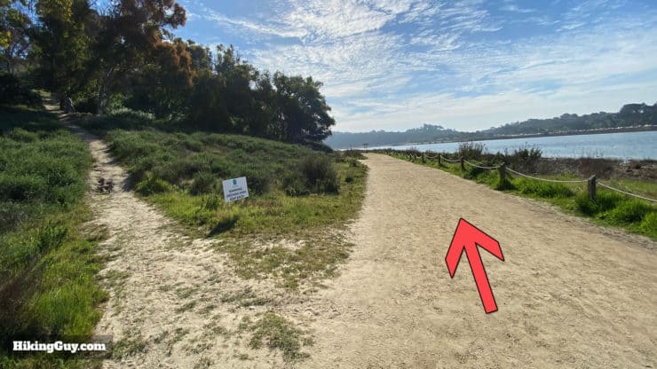
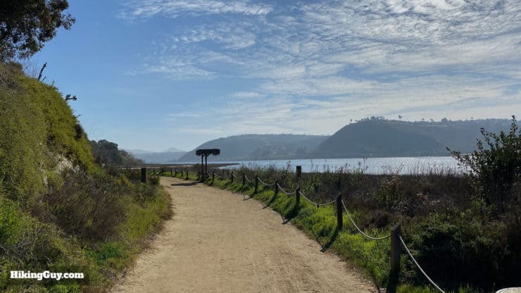
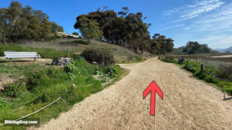
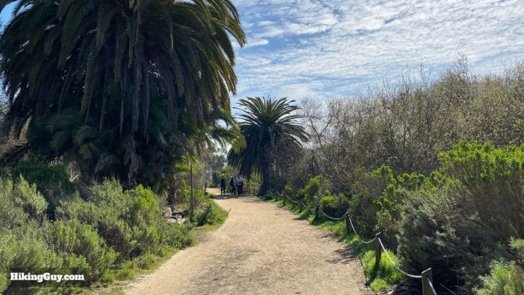
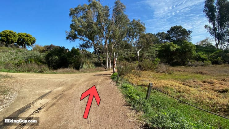
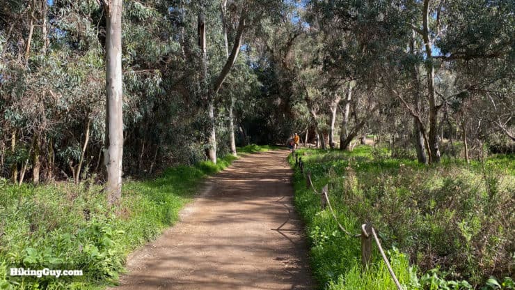
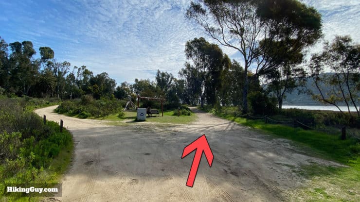
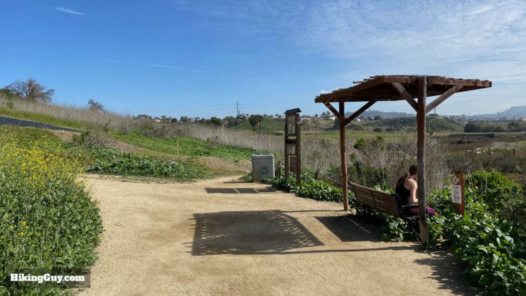
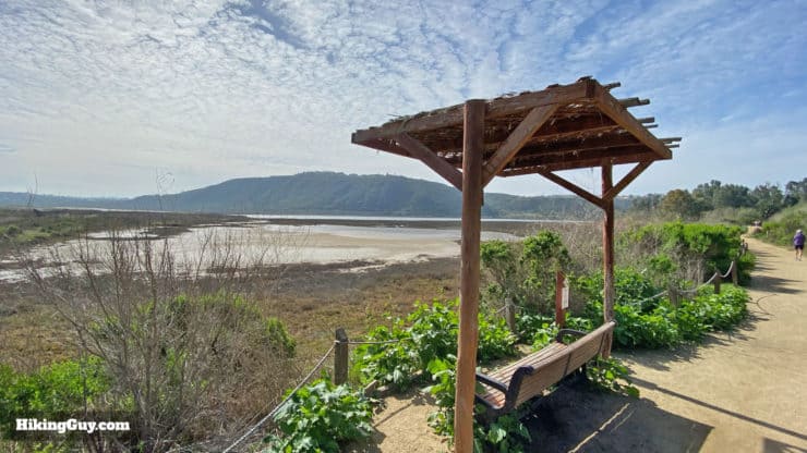
Batiquitos Lagoon Trail Directions
Need More Info?
- Have a question about the guide or want to see what other people are saying/asking? View the Youtube comments for this video. Leave a comment and I will do my best to respond.
- When planning, always check the park website and social media to make sure the trails are open. Similarly, check the weather and road conditions.
Related Guides
 Torrey Pines Hike Guide
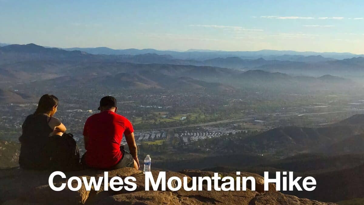 Cowles Mountain Hike
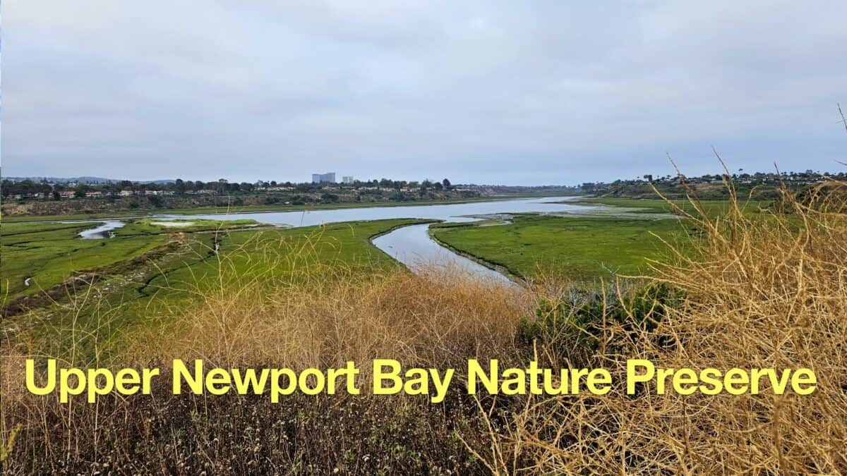 Upper Newport Bay Nature Preserve Hike
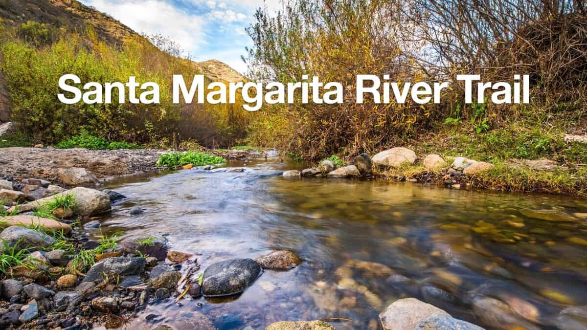 Santa Margarita River Trail
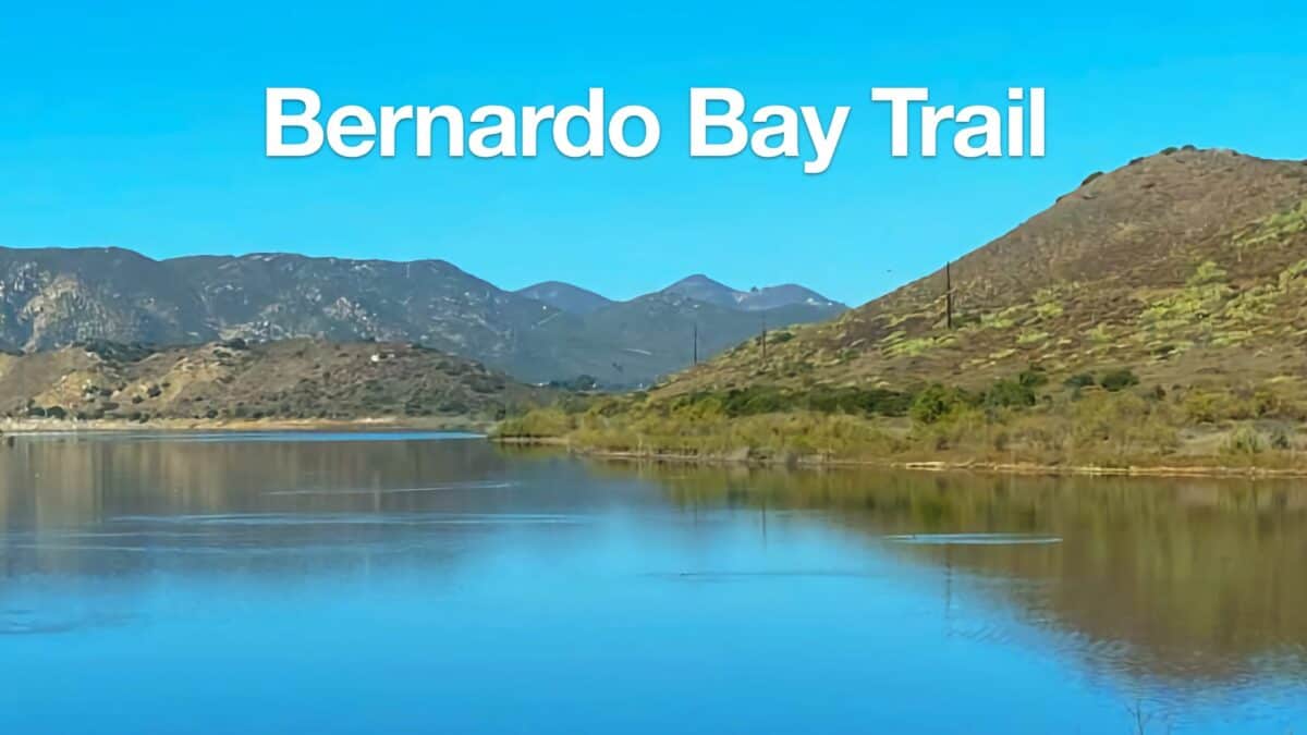 Bernardo Bay Trail - San Dieguito River Park
 Hiking San Diego
Popular Guides
 Best Hiking Gear 2024
 Hiking Boots or Shoes: Do I Really Need Hiking Boots?
 When to Hit SOS on inReach
This Guide Was Written by Cris Hazzard

Hi, I'm Cris Hazzard, aka Hiking Guy, a professional outdoors guide, hiking expert, and author based in Southern California. I created this website to share all the great hikes I do with everyone else out there. This site is different because it gives detailed directions that even the beginning hiker can follow. I also share what hiking gear works and doesn't so you don't waste money. I don't do sponsored or promoted content; I share only the gear recommendations, hikes, and tips that I would with my family and friends. If you like the website and YouTube channel, please support these free guides (I couldn't do it without folks like you!). You can stay up to date with my new guides by following me on YouTube, Instagram, or by subscribing to my monthly newsletter.