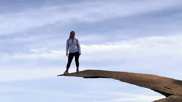

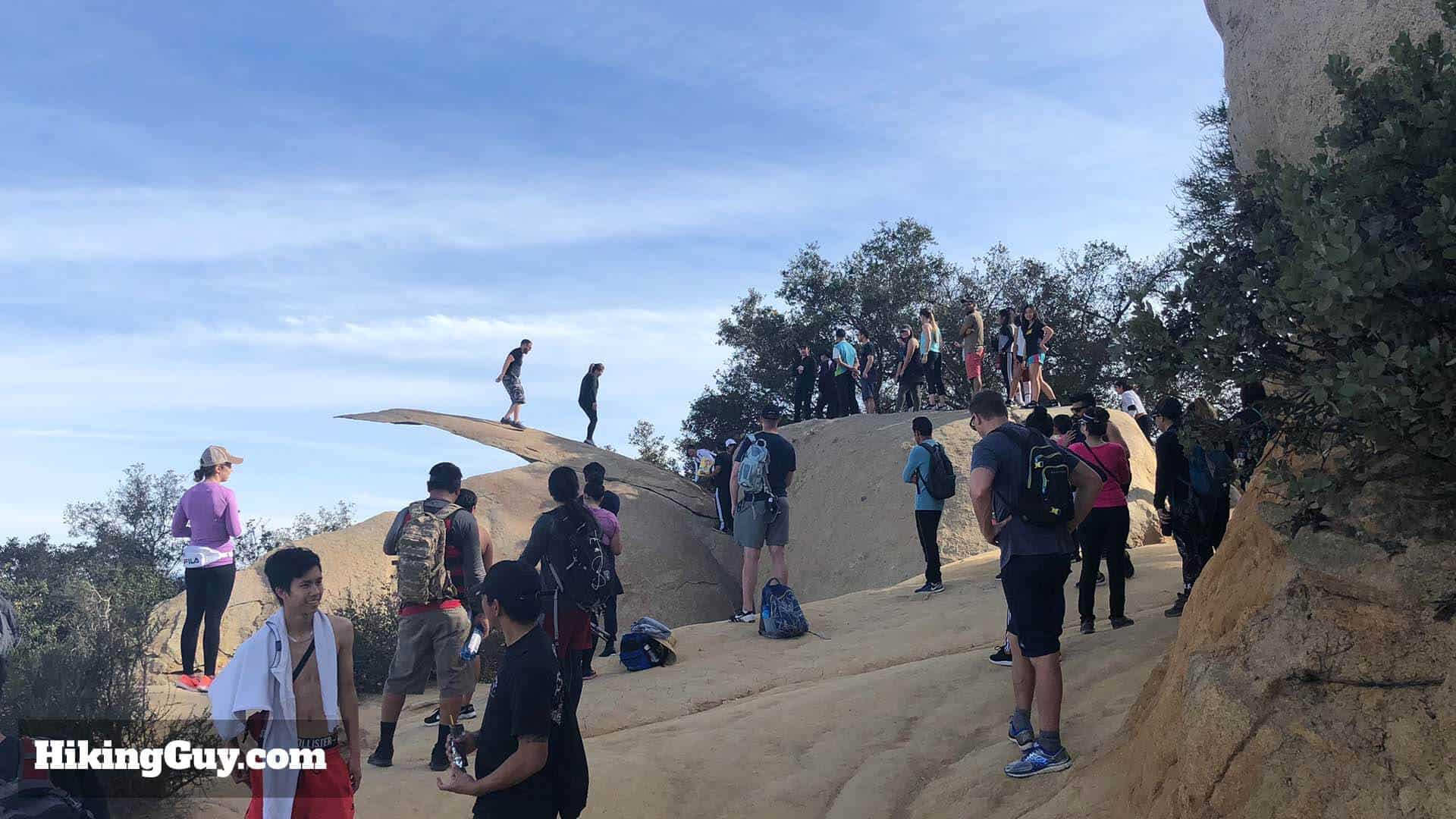
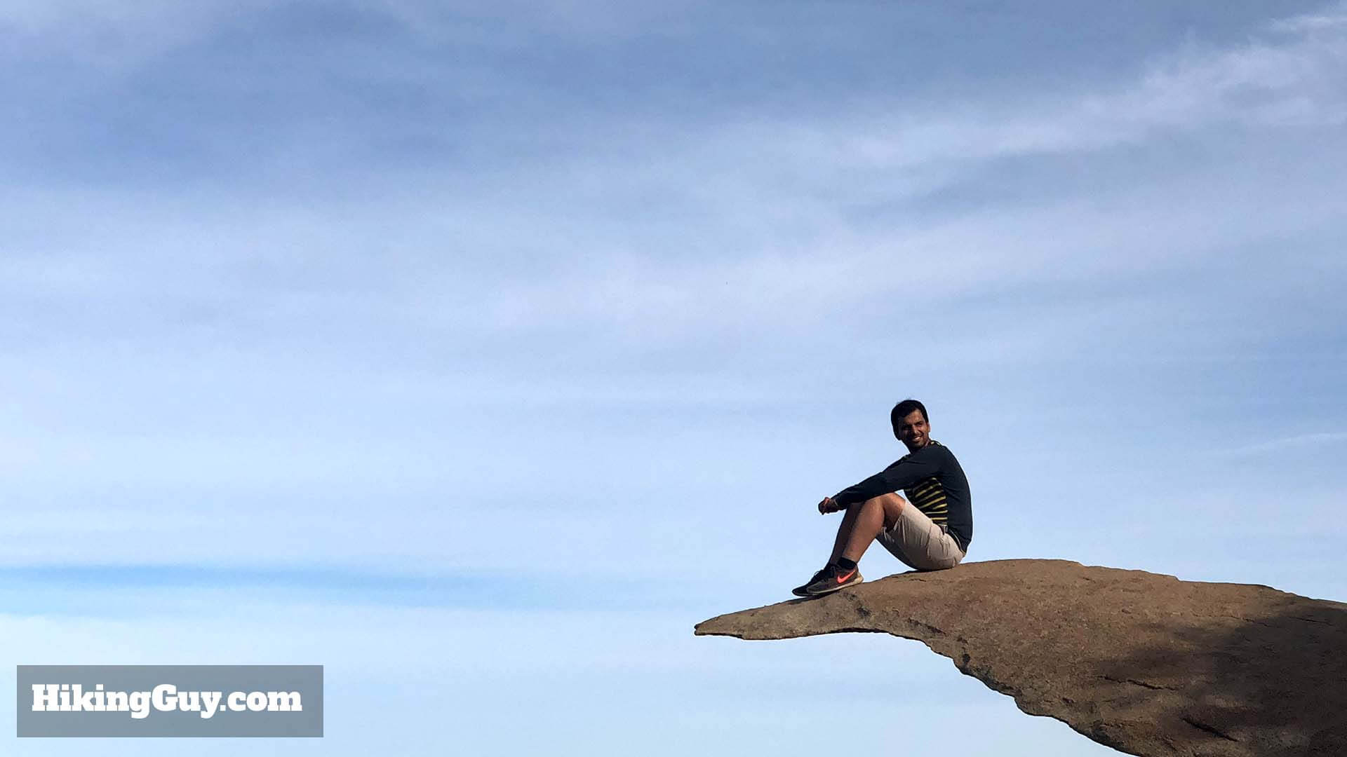
I'm sure you've seen pictures of the Potato Chip Rock hike, even if you're not familiar with it. Potato Chip Rock is the iconic rock formation in San Diego County where everyone grabs a photo of themselves perched out on the rock, over the oblivion. The hike to the rock and summit of Mt Woodson is a fun one, with a few options to get to the top. It's a hard hike because of the uphill, but otherwise well-marked and easy to do. It gets crowded so plan your trip accordingly (keep reading!).
- Where Is Potato Chip Rock
- When to Hike to Potato Chip Rock
- Turn-by-turn Hike Directions
- Potato Chip Rock Hike Maps & Video
Where Is Potato Chip Rock?
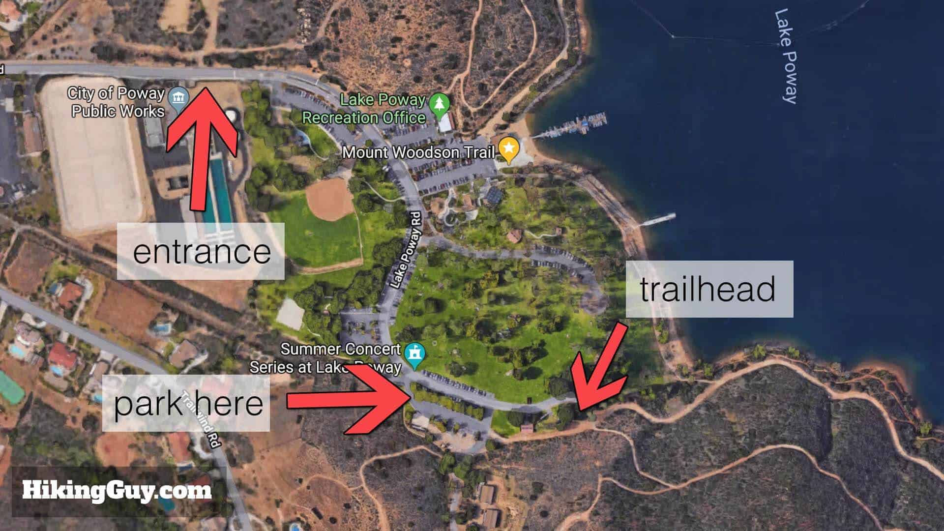
The Potato Chip Rock hike starts in Poway, located about 30 minutes north of San Diego. There a few ways to hike to Potato Chip Rock, and this route is the most scenic and offers bathrooms and facilities. I'll give you a few other options later in the guide.
Use this trailhead address: Lake Poway, 14644 Lake Poway Rd, Poway, CA 92064.
Note that if you put "Mt Woodson Trailhead" or "Potato Chip Rock Trailhead" into your GPS, it might take you to one of the other ways to do the hike.
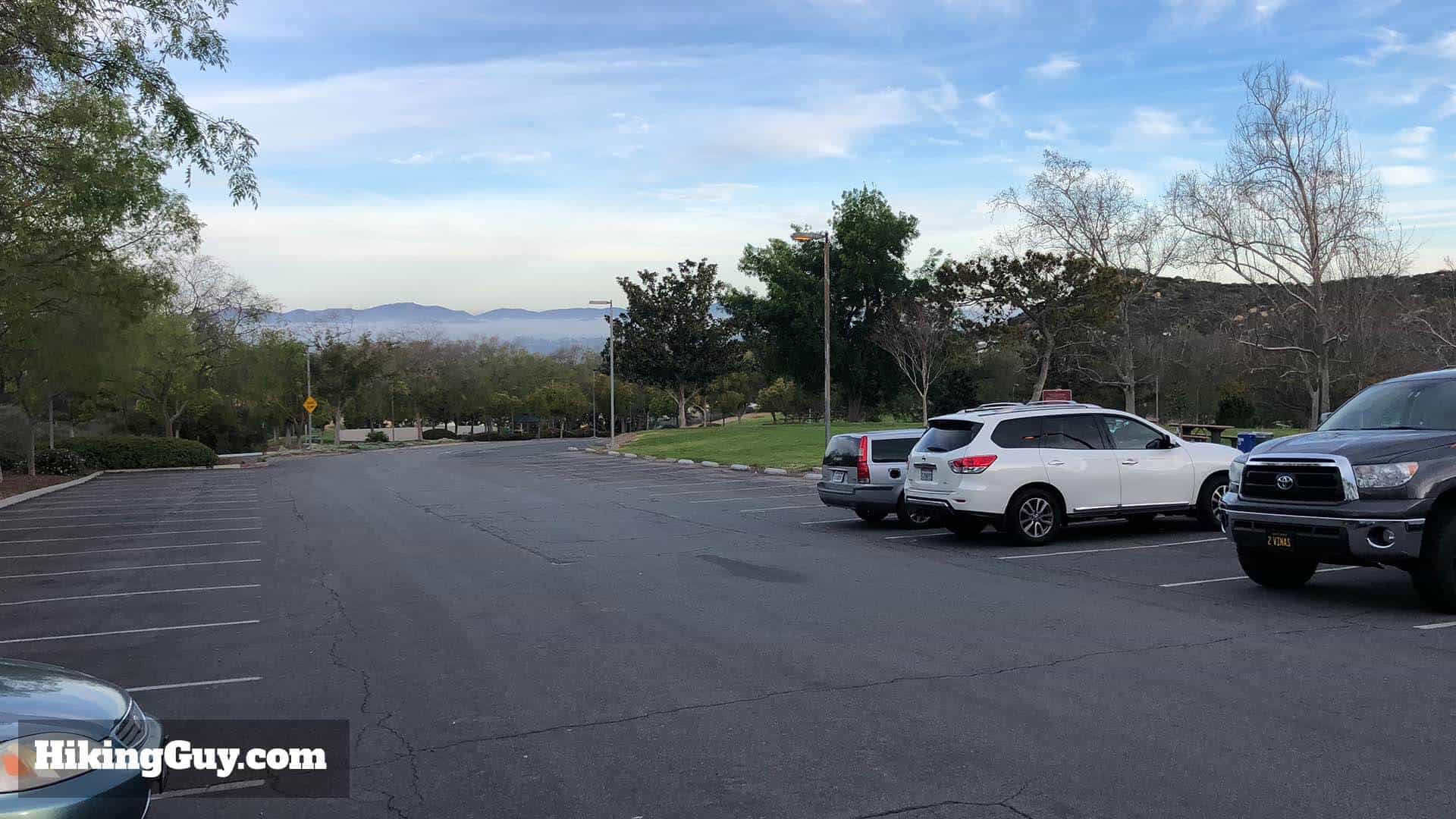
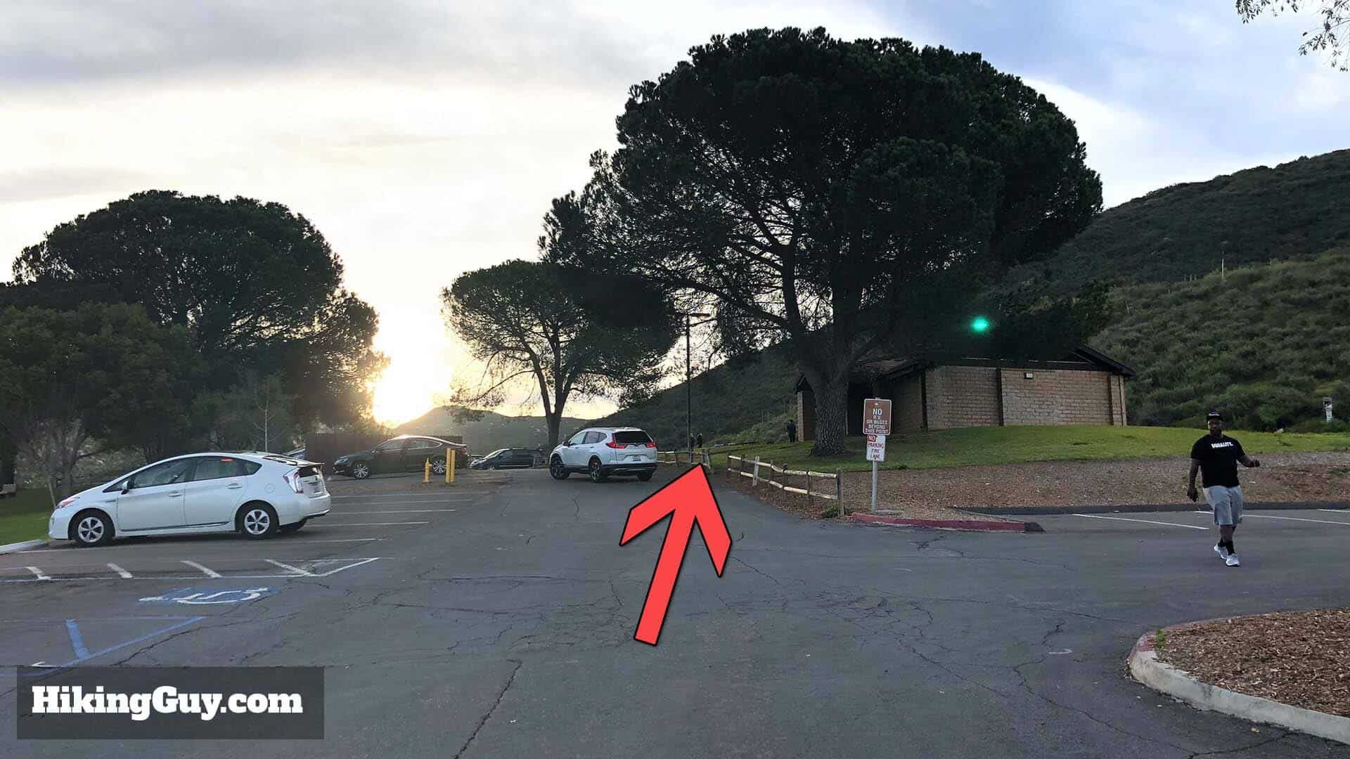
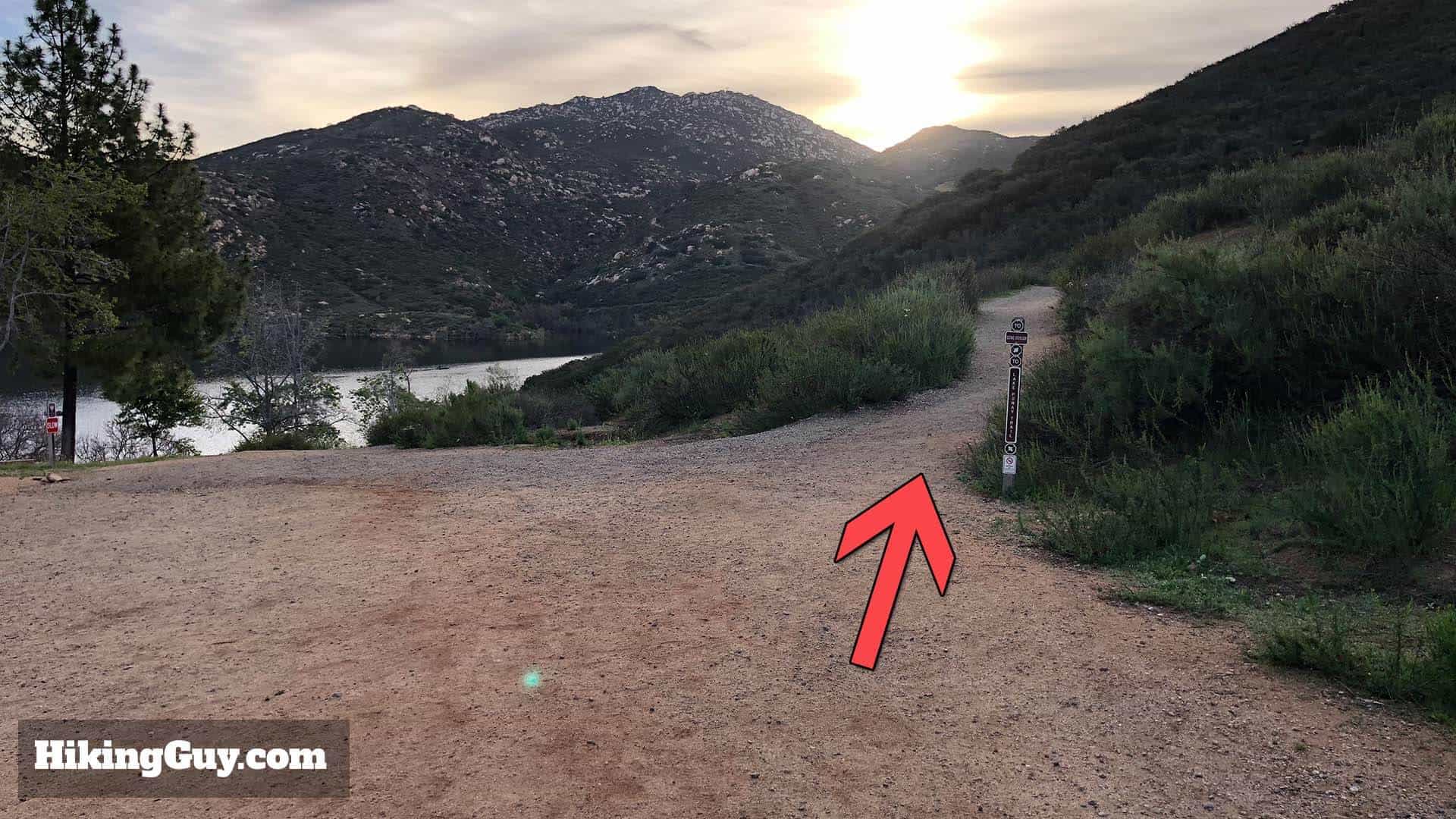
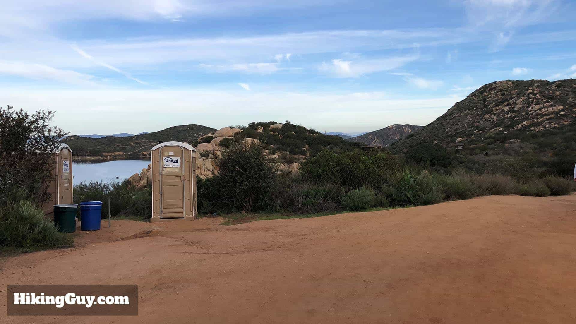
This hike, which is probably the most popular route to Potato Chip Rock, starts at the Lake Poway park in Poway, CA. The park has bathrooms, picnic tables, and plenty of parking. There's a non-resident fee on weekends and holidays; on weekdays it's usually free. It's free for Poway residents with ID.
I highly recommend leaving as early as possible. The gates usually open at 6am (check the website above). When you do this hike first thing in the morning, it's glorious. When you leave around 8-9am, you'll have crowds of people on the trail. It's worth getting up early for.
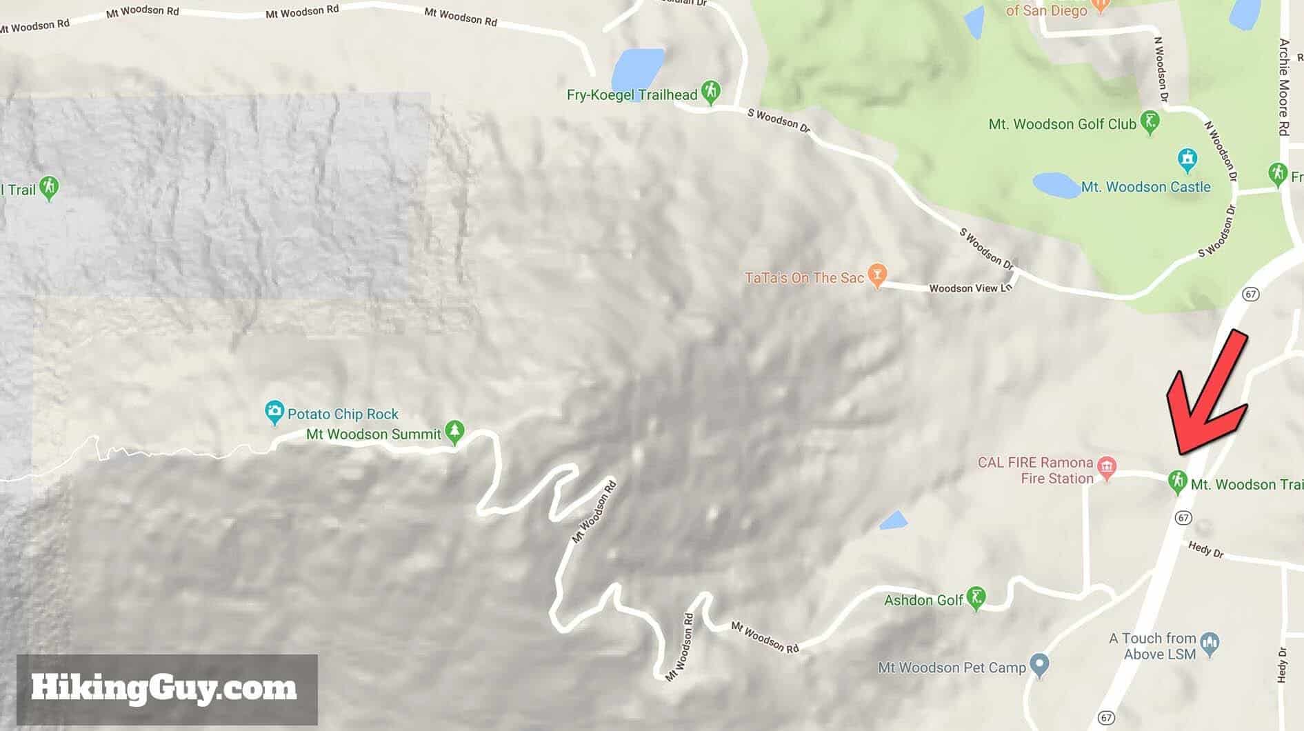
What About the Potato Chip Short Trail?
There are a few ways to hike to Potato Chip Rock and Mt Woodson. The route from Lake Poway is the most popular route for a good reason. It has great scenery, plenty of parking, facilities and bathrooms, and is the least steep (although still a tough climb). It does have an entry fee on the weekends.
If you want to try the other routes, here they are. Otherwise, keep reading for all the trail directions from Lake Poway.
Is Potato Chip Rock Safe?
Yes, as long as you're not a dummy. People get hurt here when they do stupid things like hanging off the rock or trying risky poses. If you fall off the rock, it's about a 40 foot fall. I've been there when a kid was hanging off, fell, and had to get rescued.
There's a small hop onto Potato Chip Rock, and when people land on the rock, it can vibrate a bit which can be scary. When you're standing on the rock, it's not too bad, and you won't fall hundreds of feet if it breaks. You might break a few bones, but you'll survive.
What You Need For the Hike
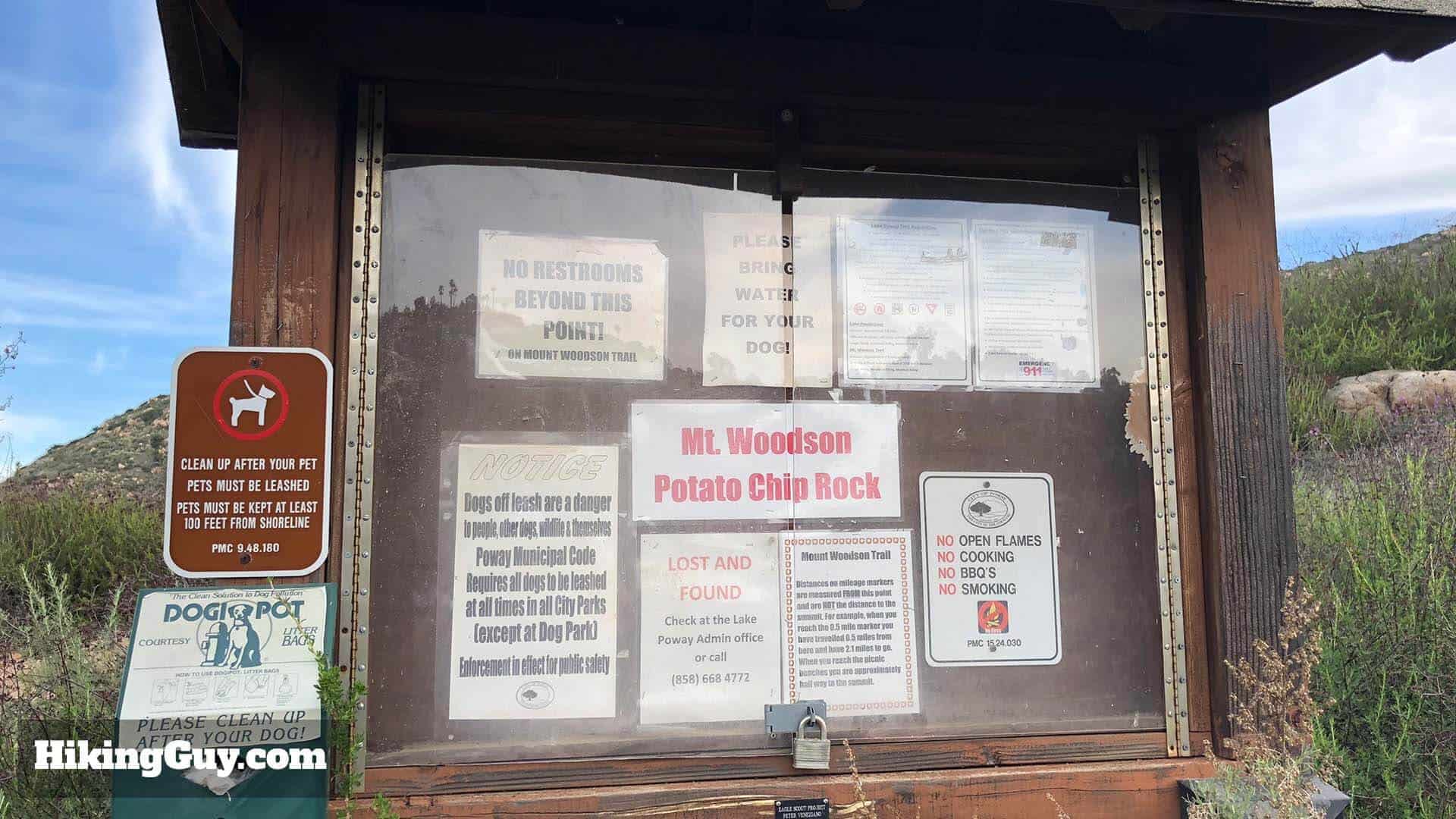
There is no shade on the trail and it can get brutally hot here (which is another reason to leave early). I see people doing this with a single bottle of water and it's just not enough. Bring at least 1L of water, I bring 3L.
And if you want the pictures of yourself standing on Potato Chip Rock, it's best to do this hike with another person so you can take pictures of each other. Selfies don't work, you have to have someone else take the picture. You could try it with a tripod and Bluetooth remote, but I'm not sure if the Bluetooth range is long enough.
Gear That I Love Right Now
Nothing is sponsored or promoted, just the actual gear that I use.


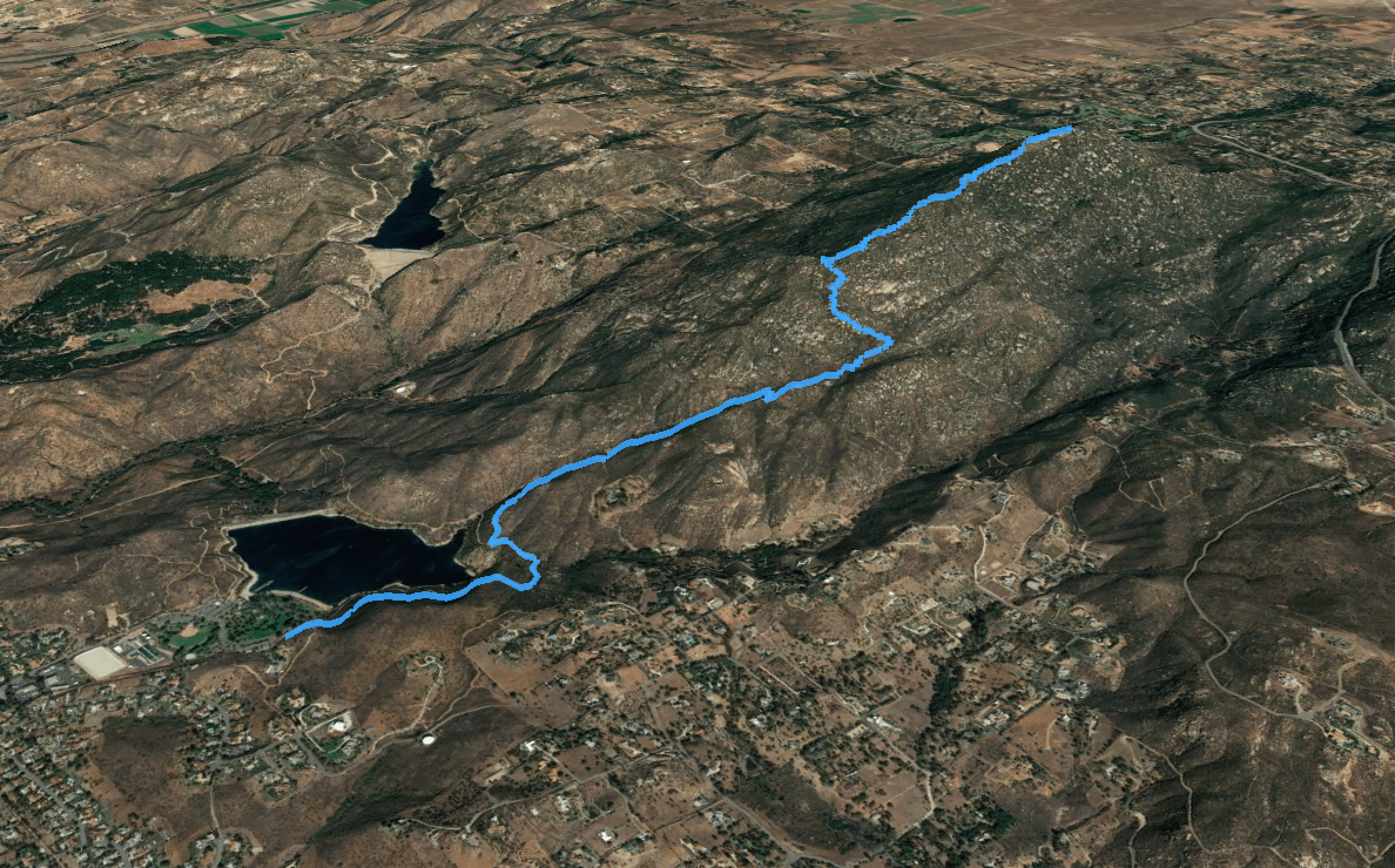
Potato Chip Rock Trail Maps
How Will You Navigate?
 Using the Apple Watch for Hiking
 Garmin Fenix 7 & Epix Review For Hikers
 How To Read a Topographic Map
 Garmin GPSMAP 67i Review
3D Map
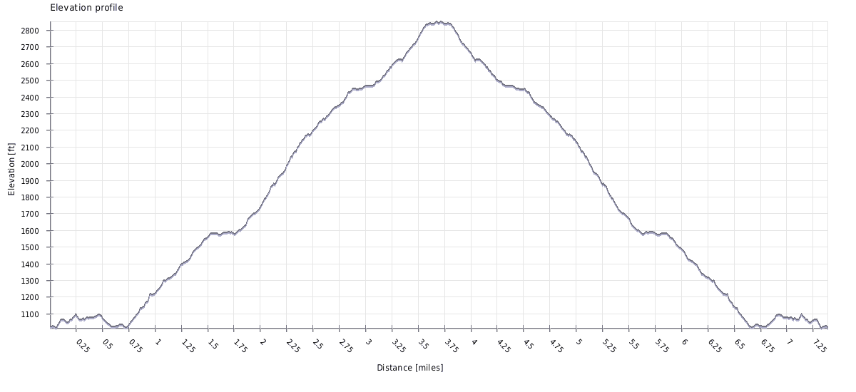
Elevation Profile
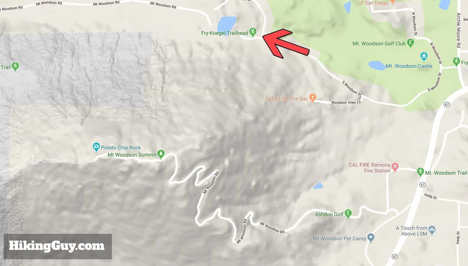
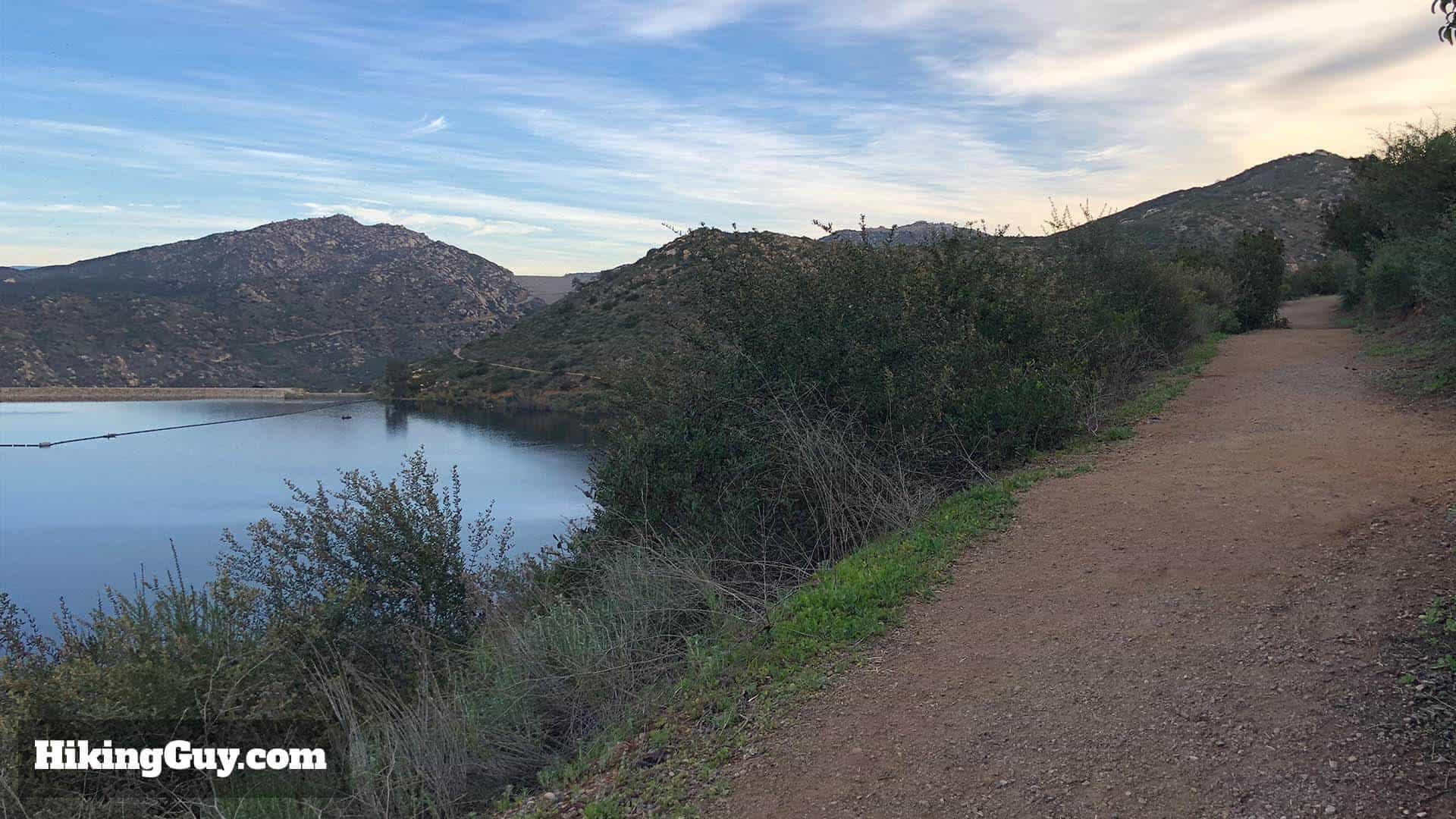
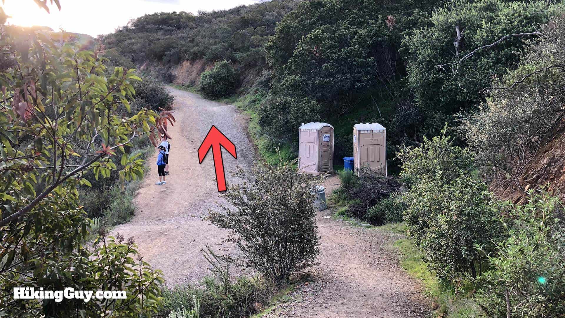
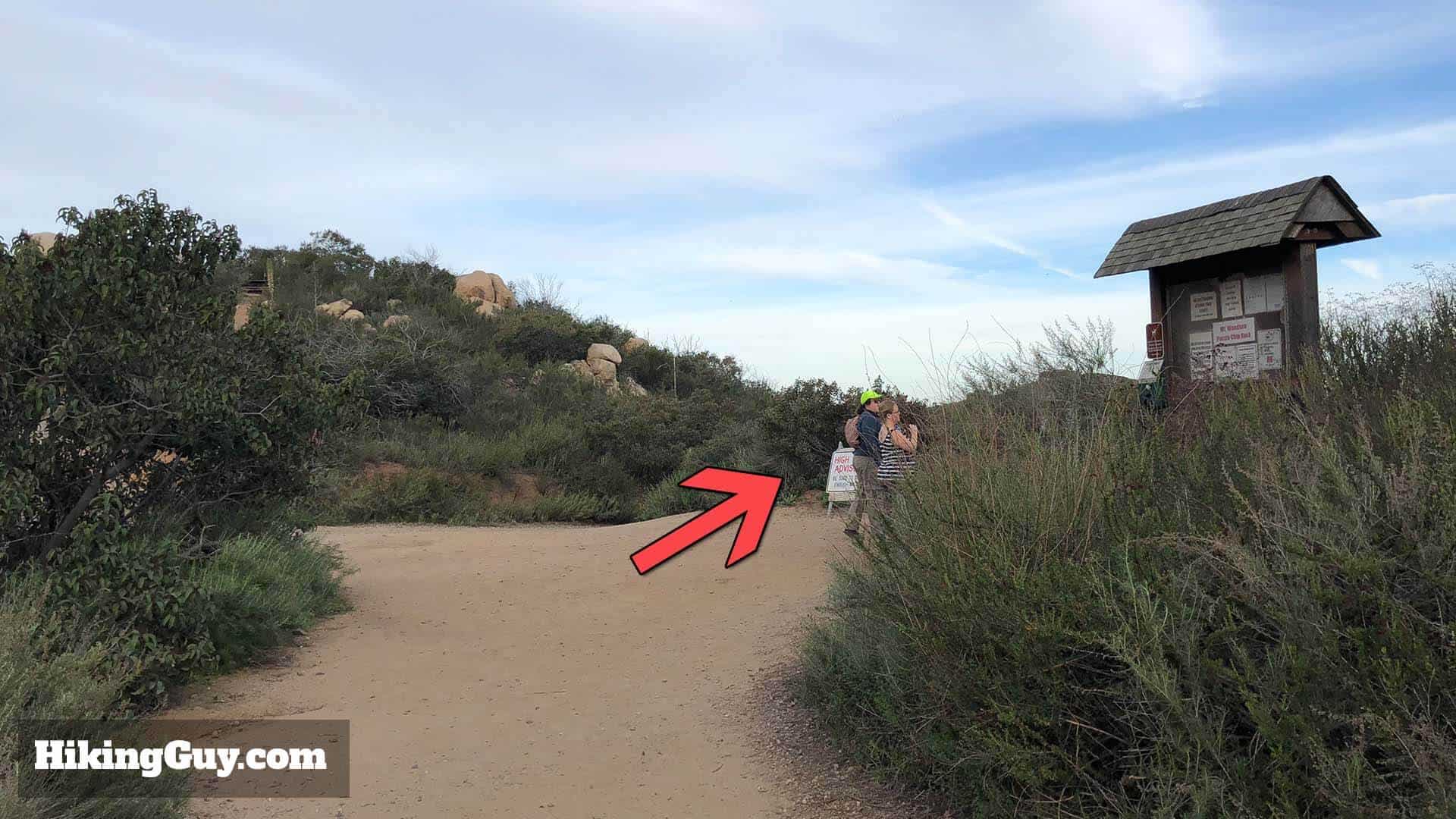
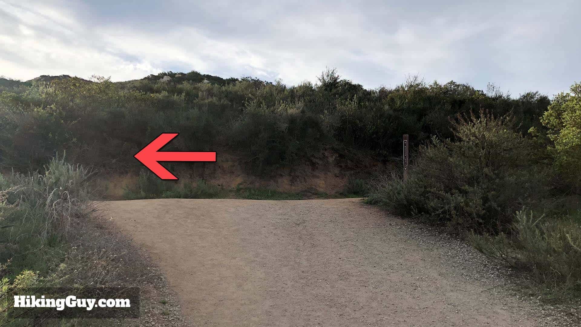
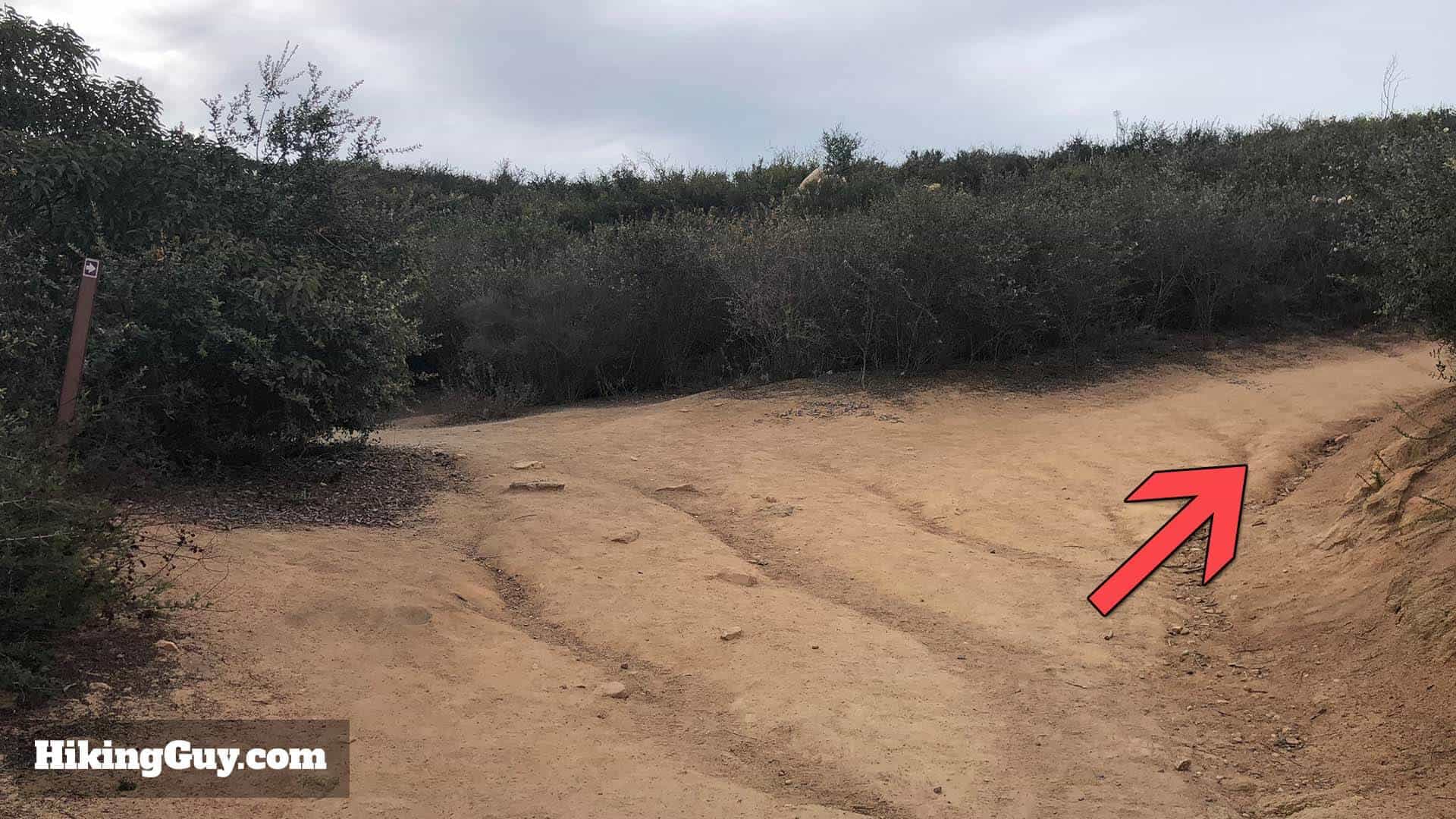
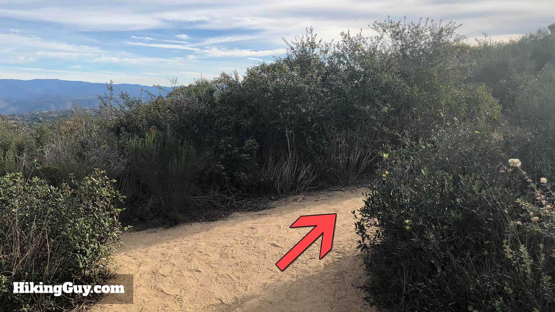
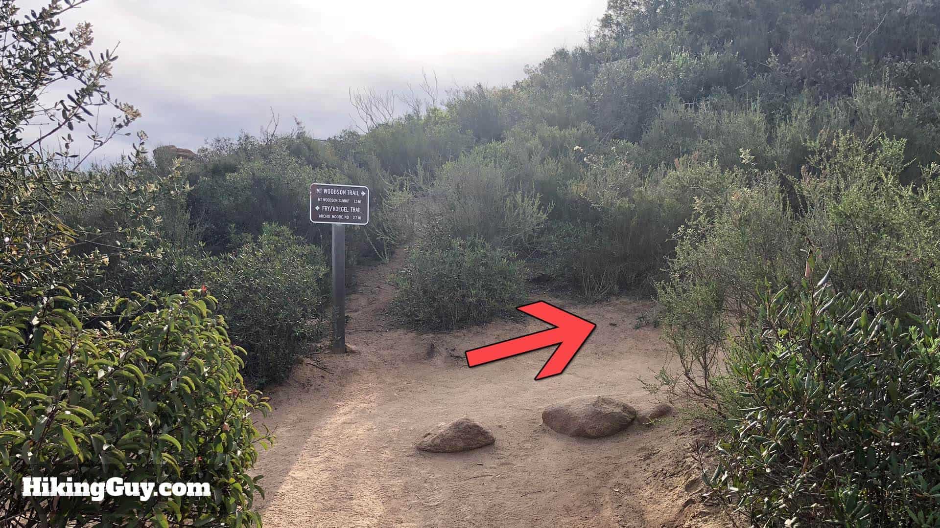
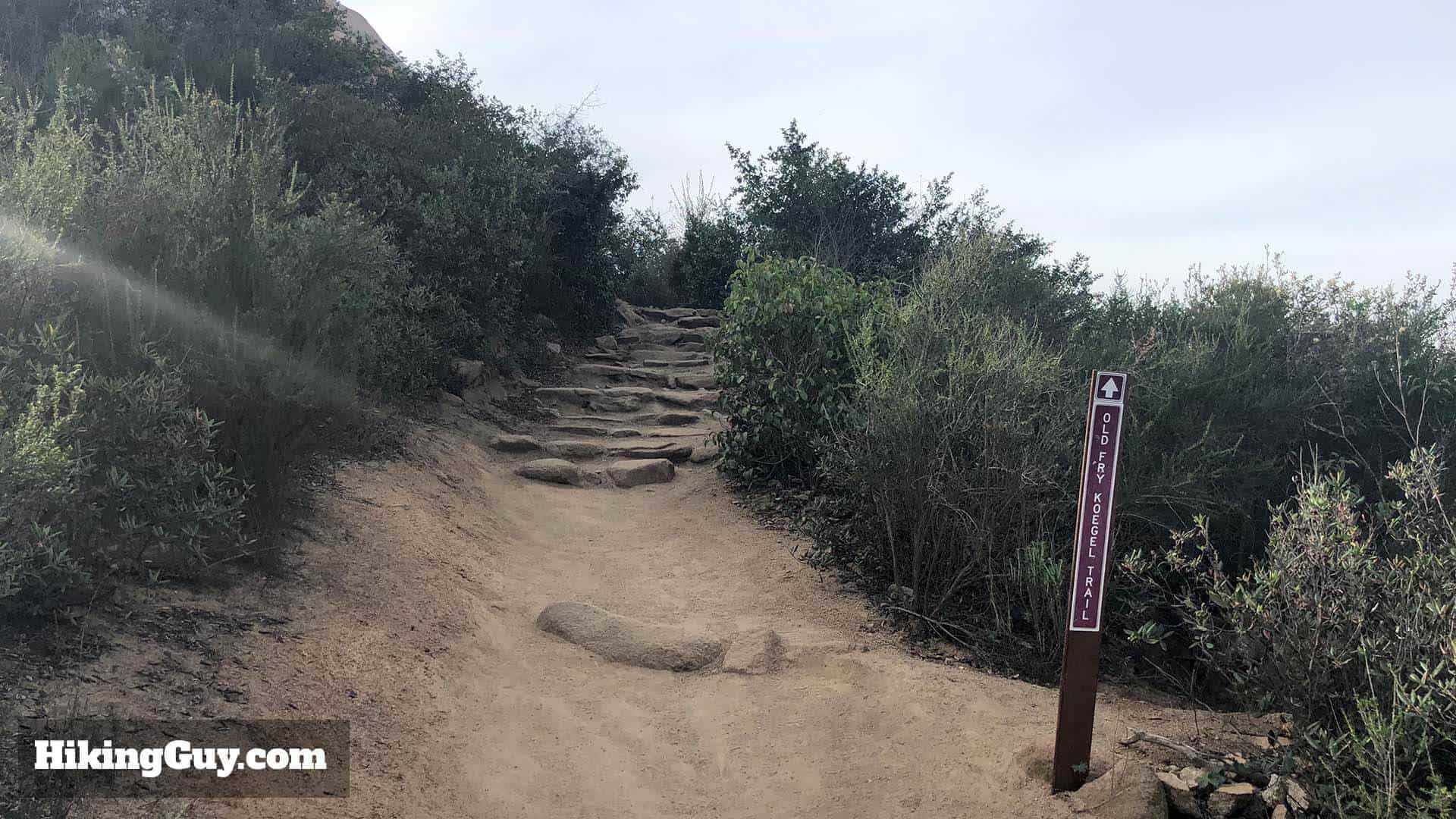
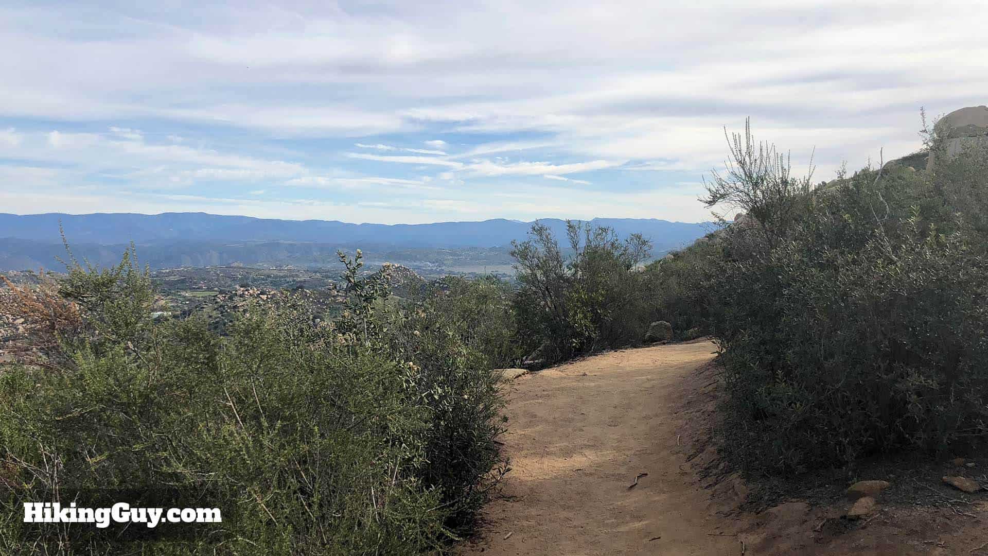
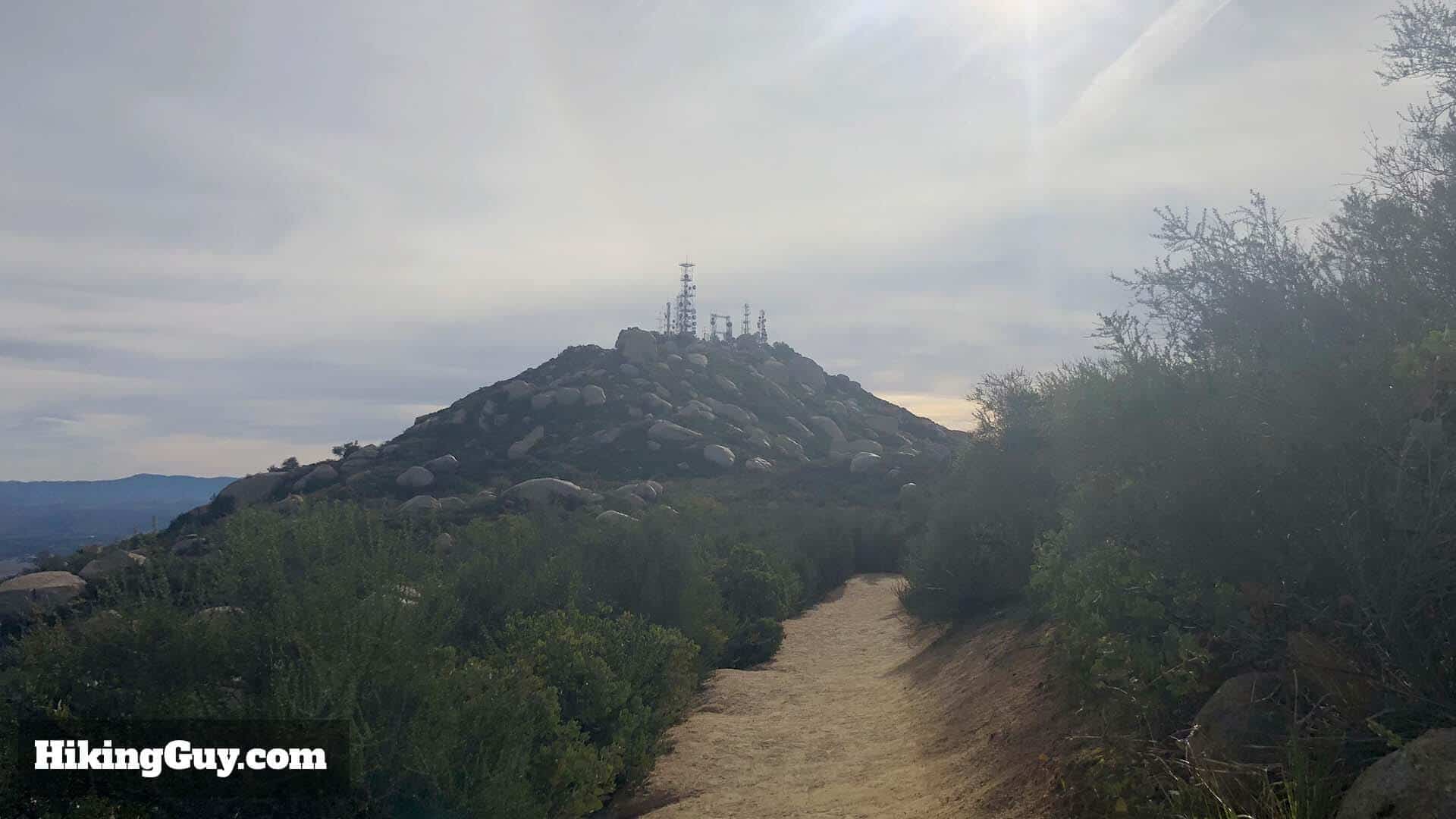
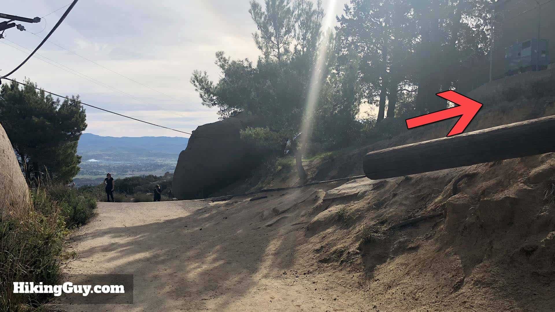
Potato Chip Rock Hike Directions
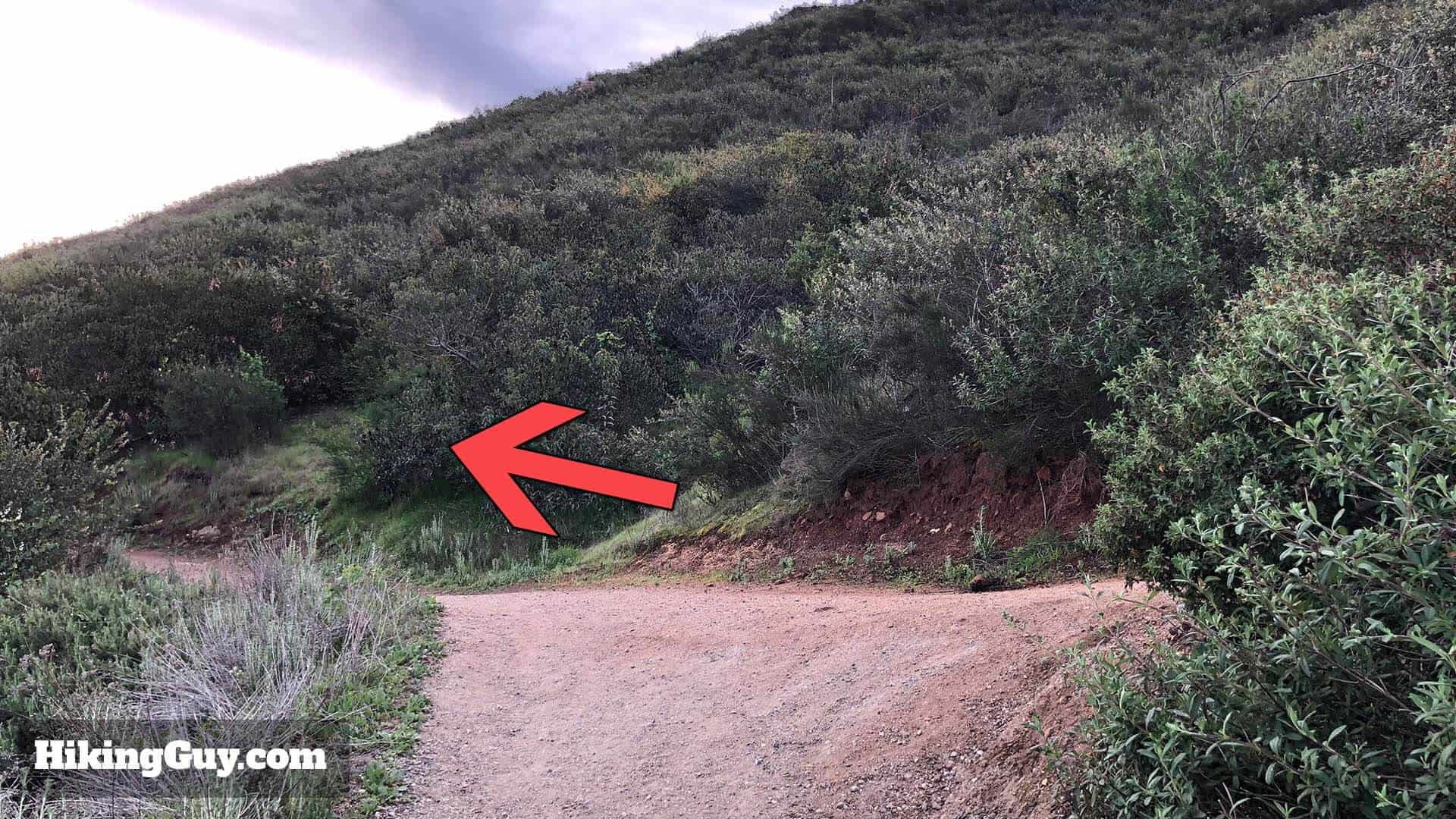
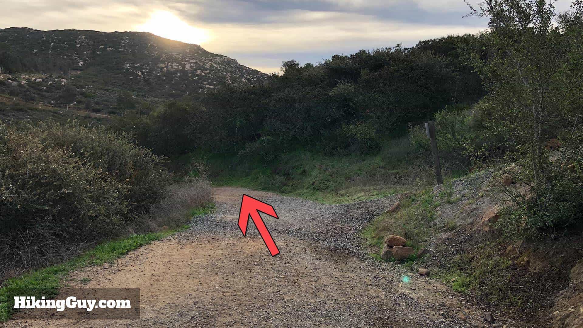
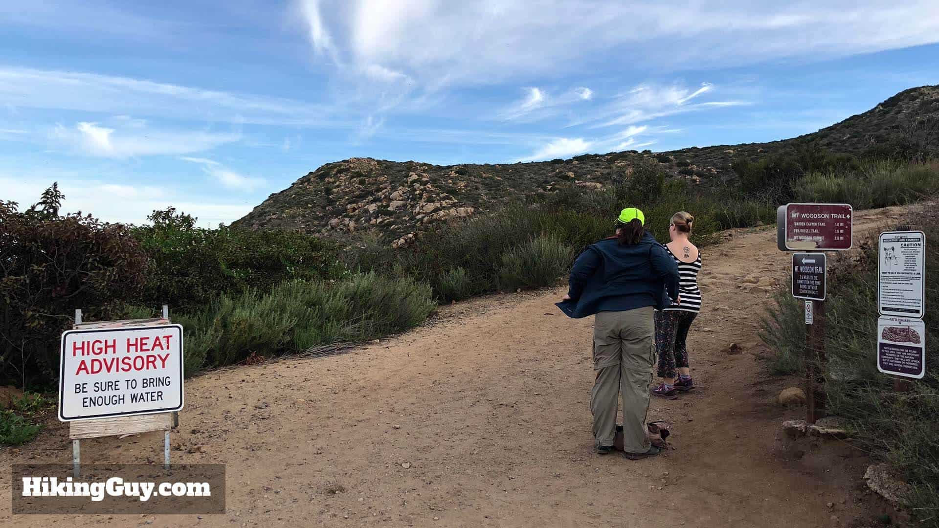
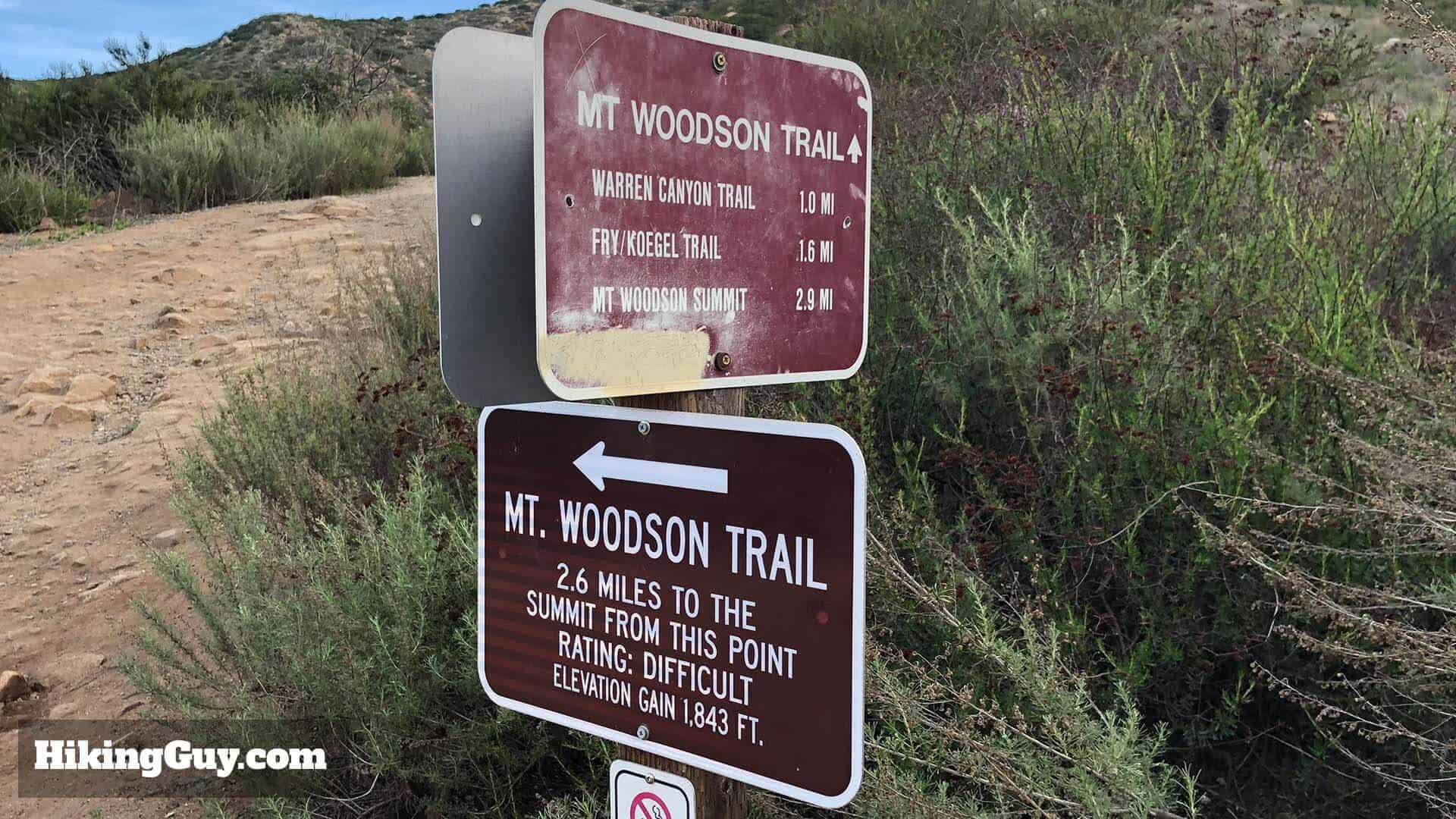
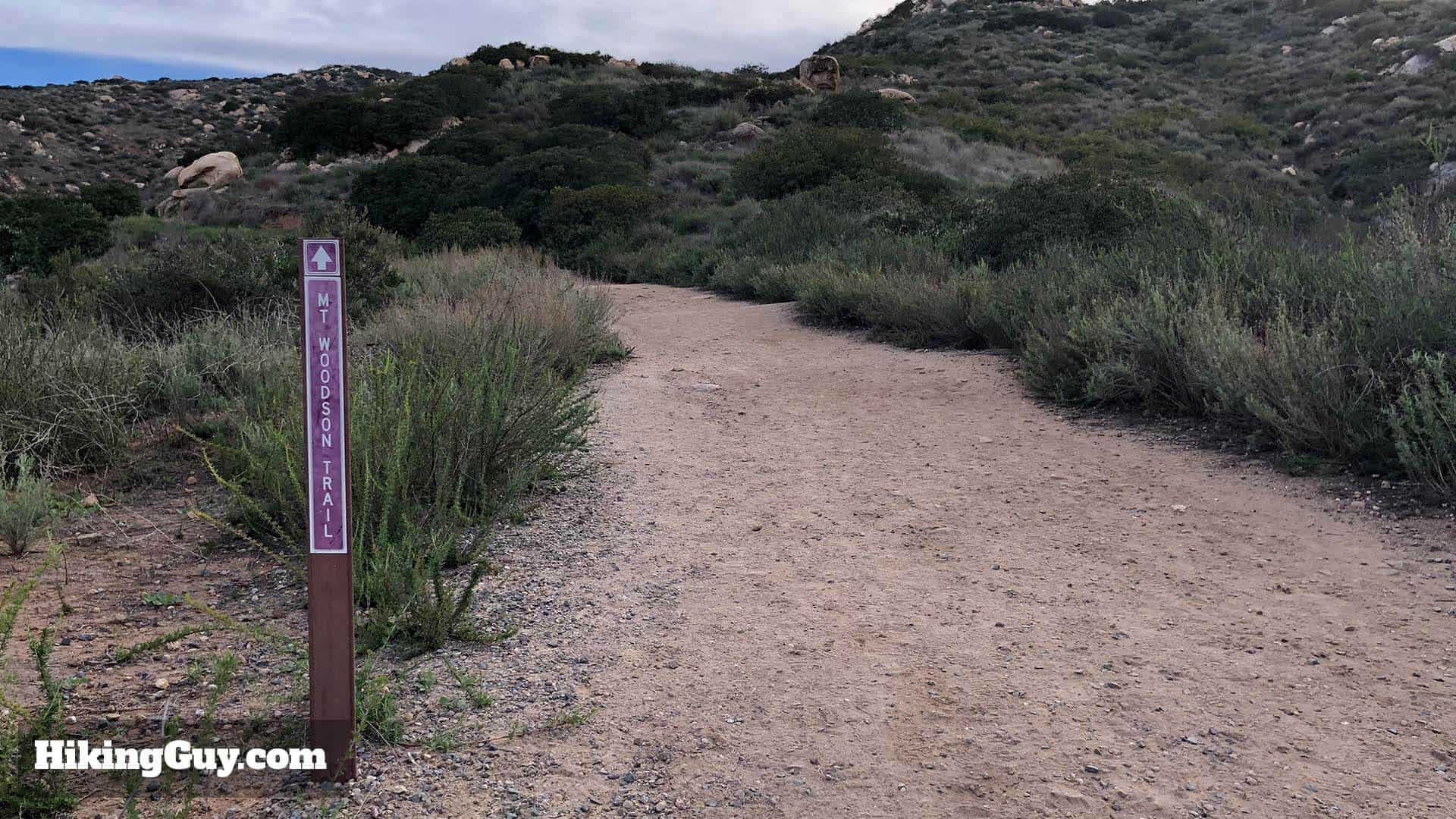
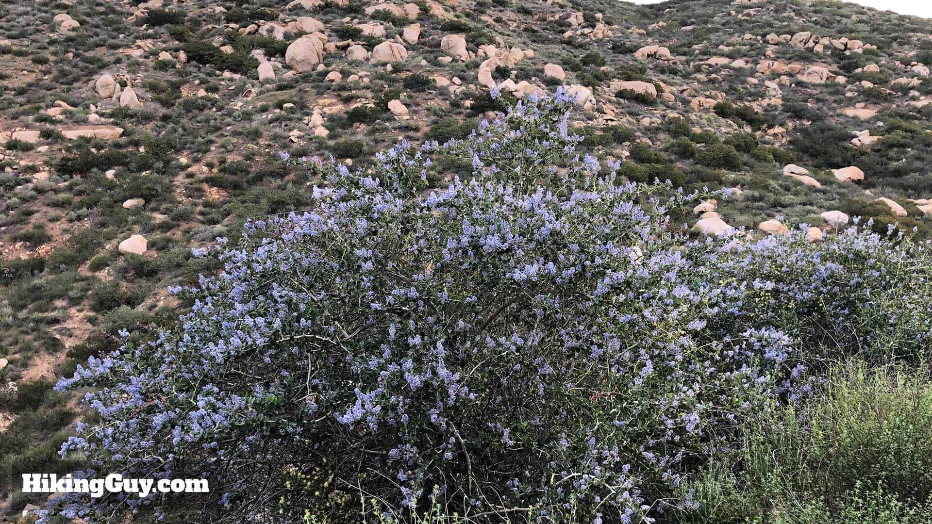
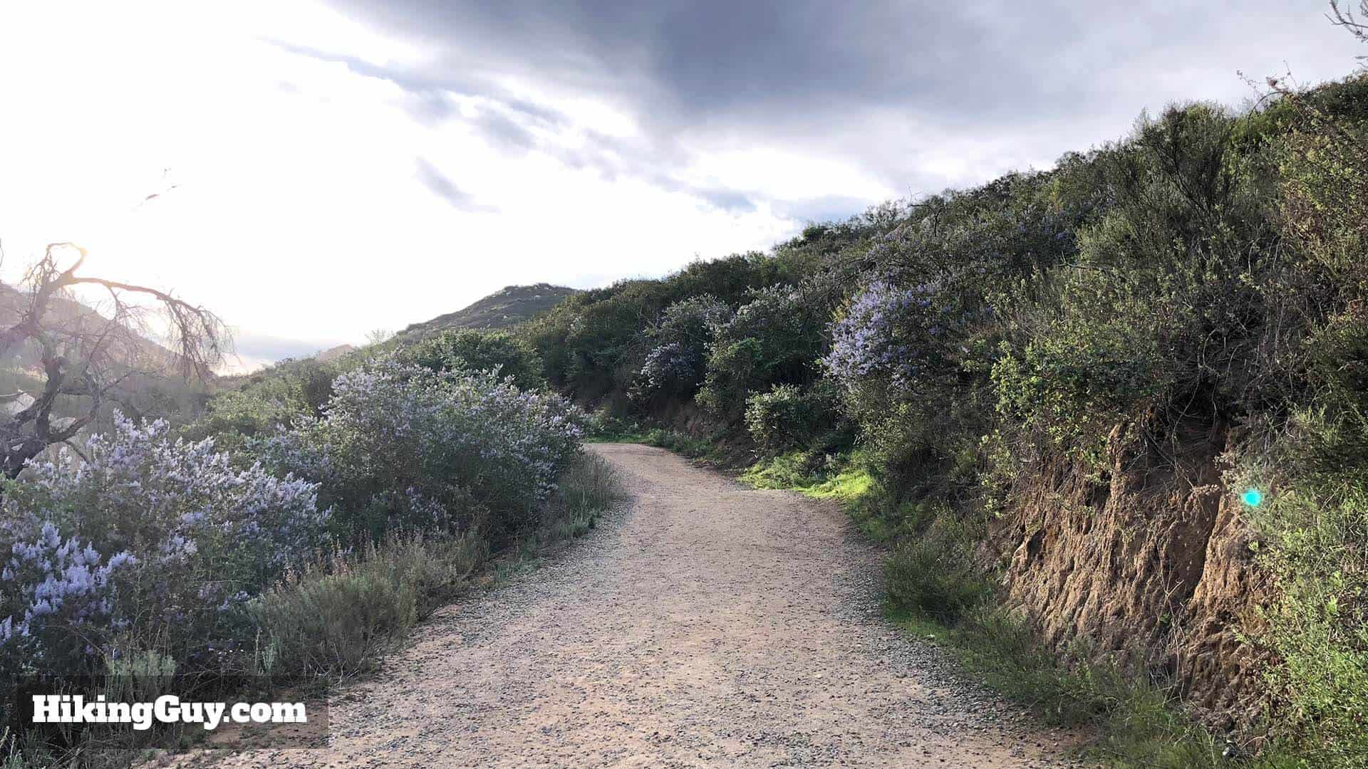
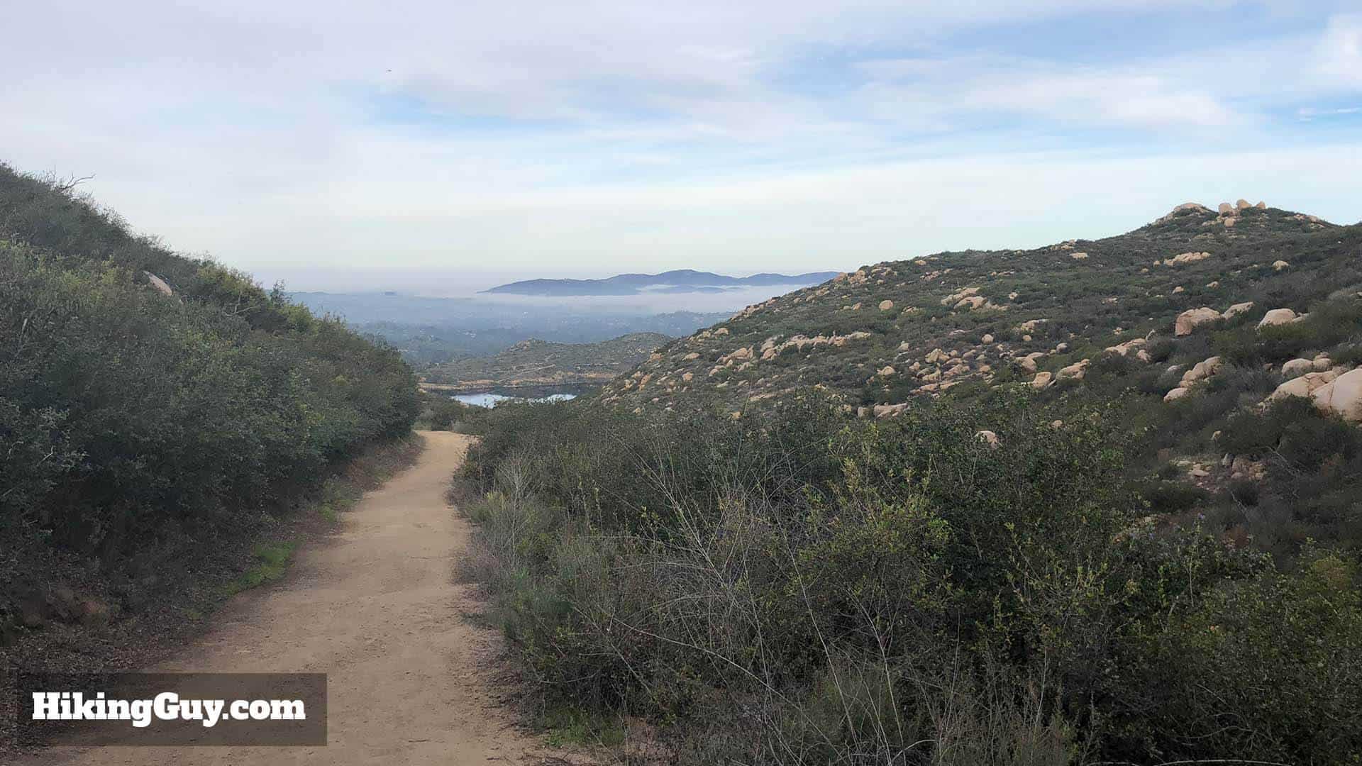
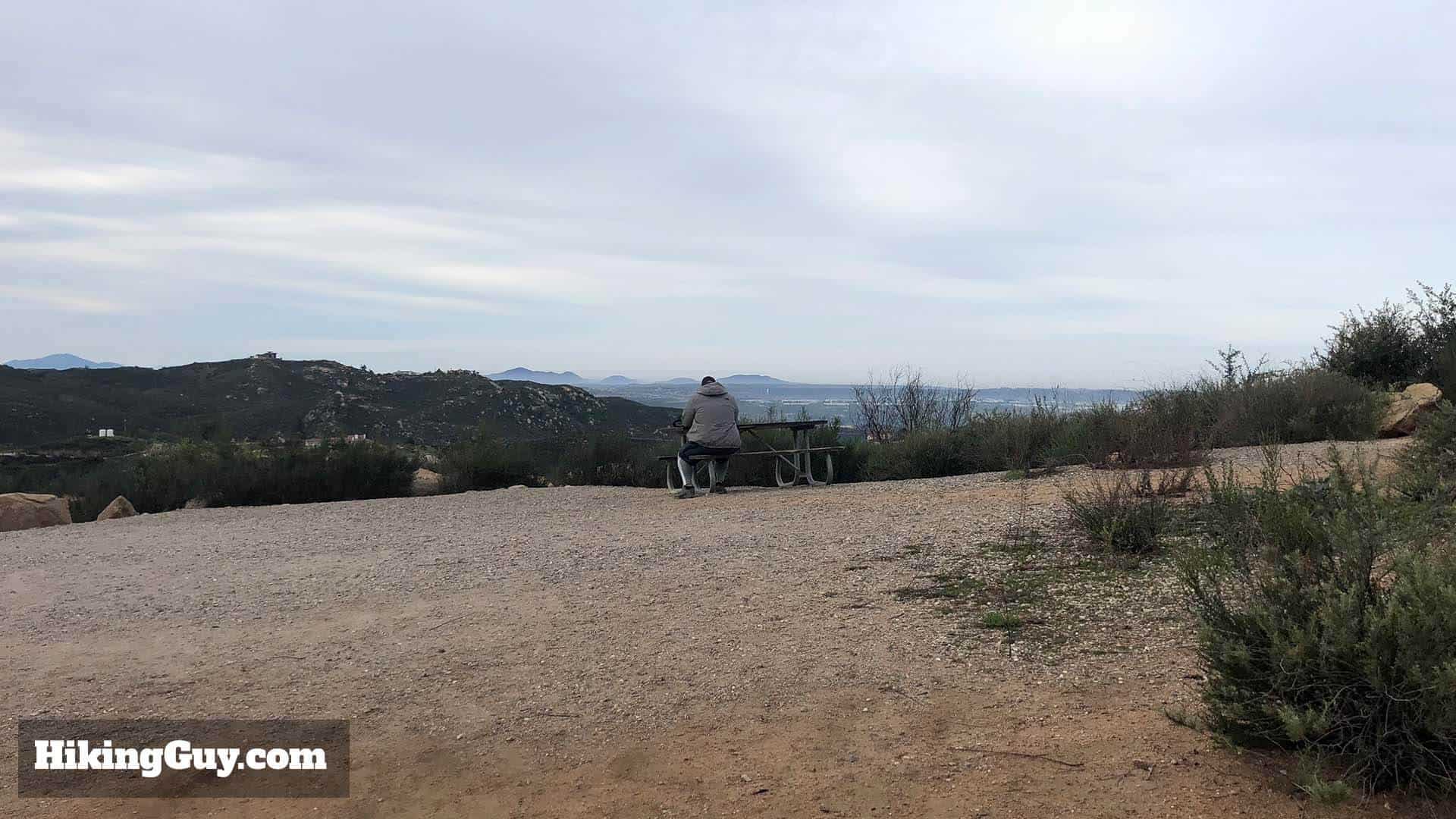
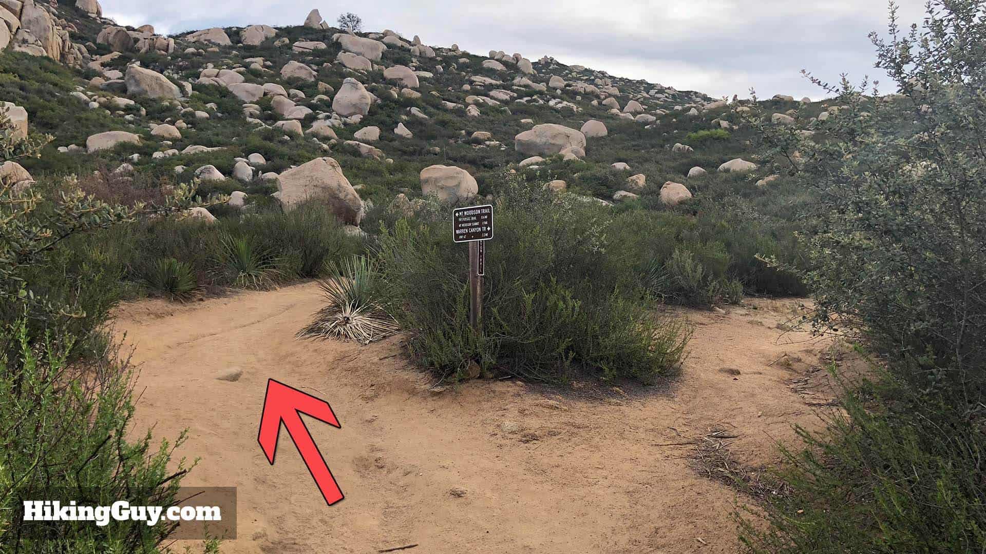
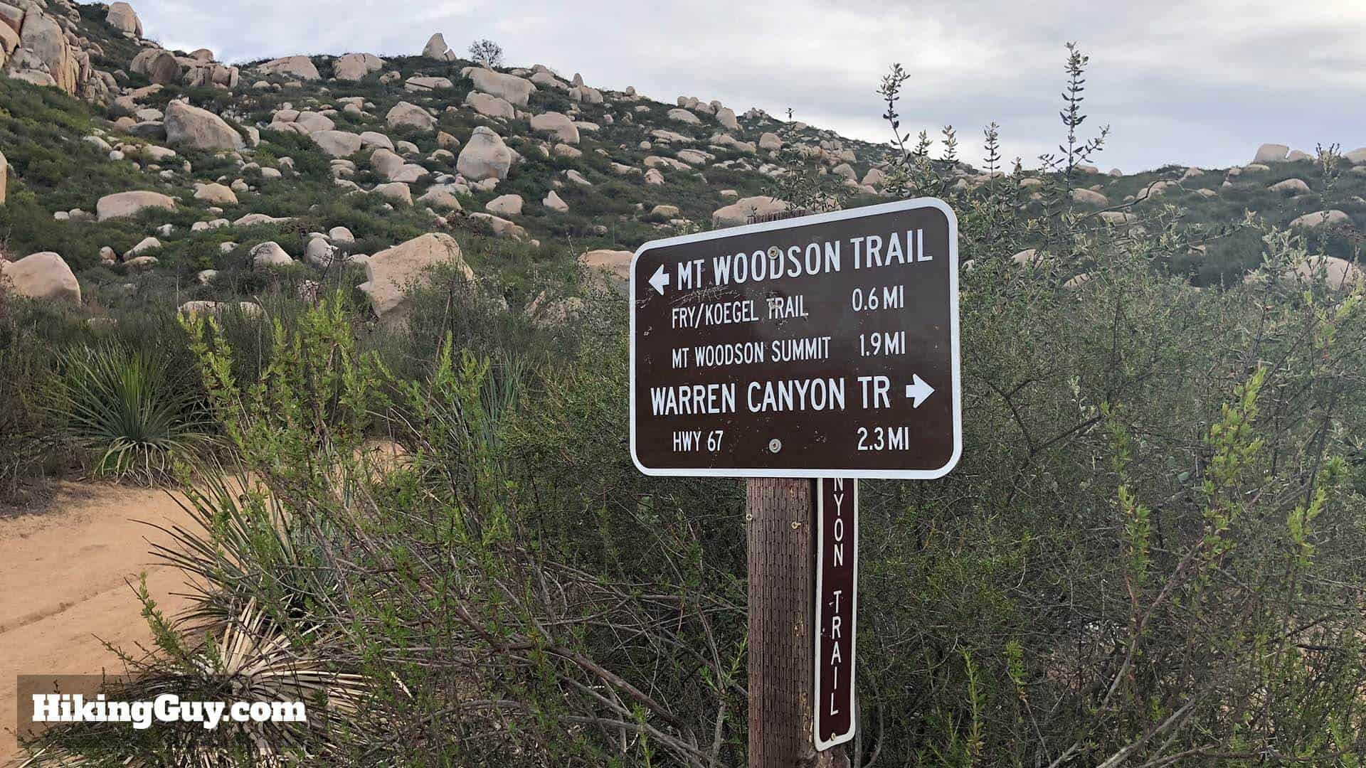
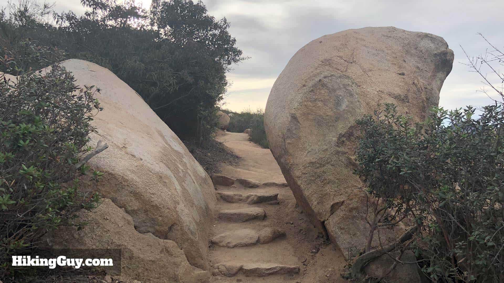
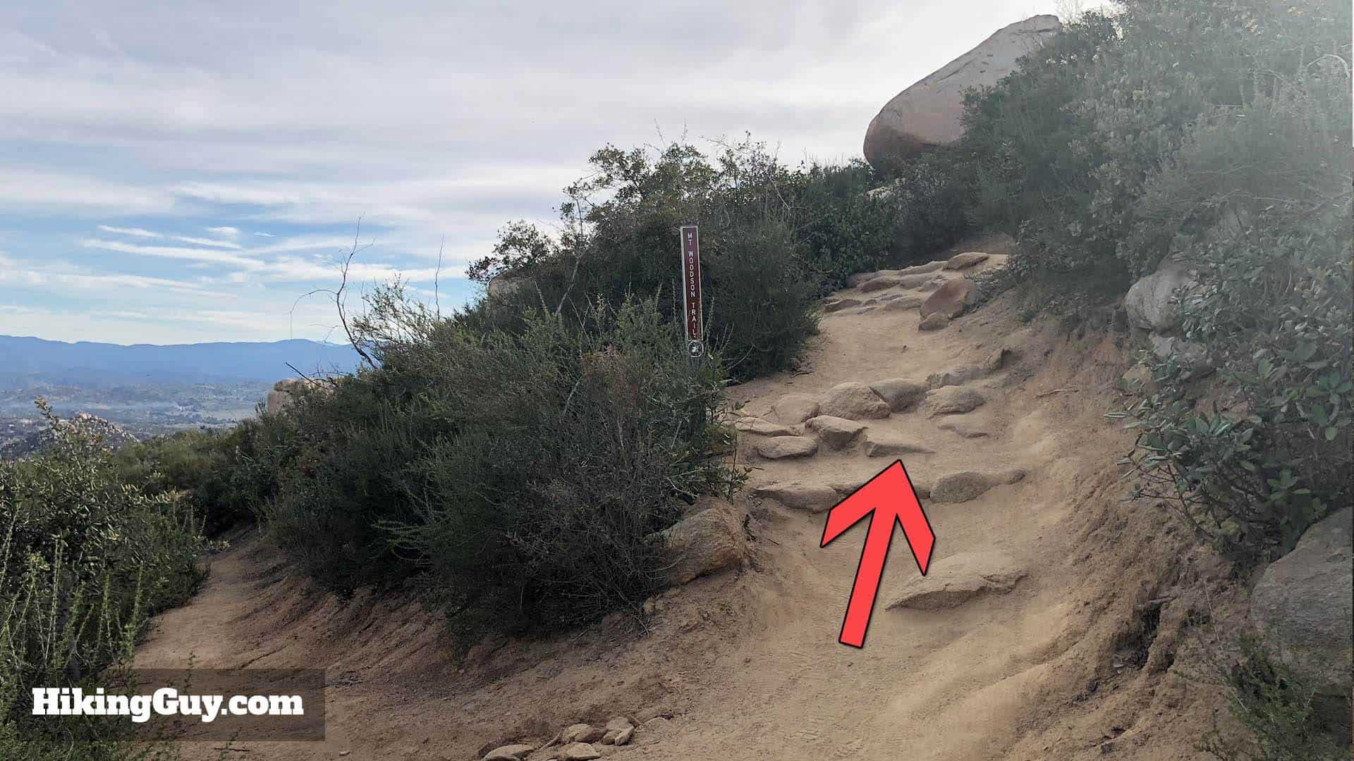
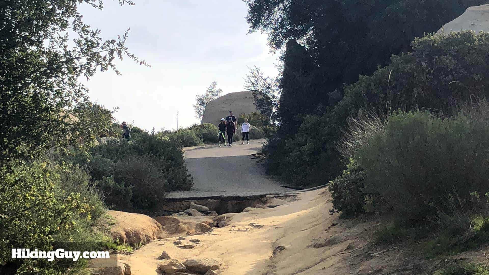
e wilThis section has a few switchbacks, so make sure you stay on the official trail and avoid any cutoffs. The views of the surrounding mountains and boulders is great. Local Native Americans called Mt Woodson "Mountain of Moonlit Rocks." It didn't become Mt Woodson until 1895 when it was named after a settler who moved to the area.

Need More Info?
- Have a question about the guide or want to see what other people are saying/asking? View the Youtube comments for this video. Leave a comment and I will do my best to respond.
- When planning, always check the park website and social media to make sure the trails are open. Similarly, check the weather and road conditions.
Related Guides
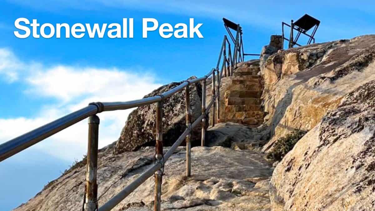 Hiking Stonewall Peak Trail
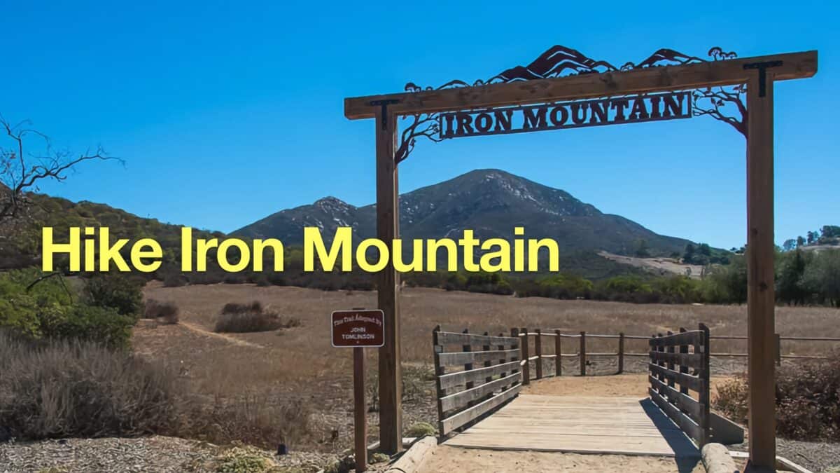 Hike Iron Mountain (San Diego)
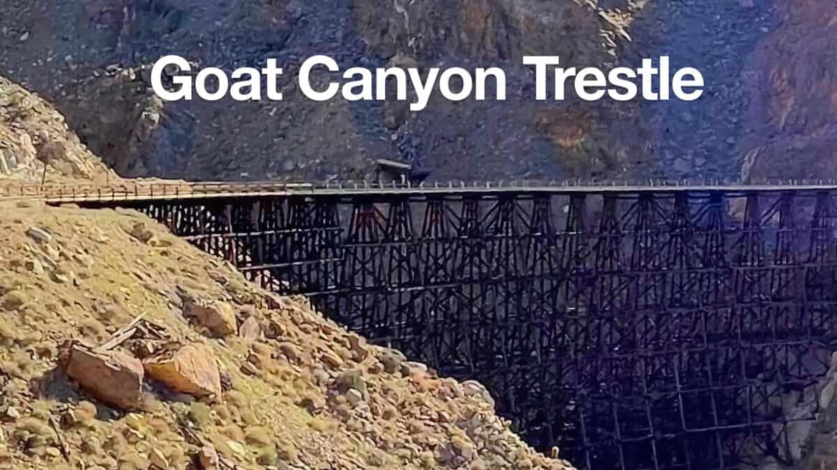 Goat Canyon Trestle Hike
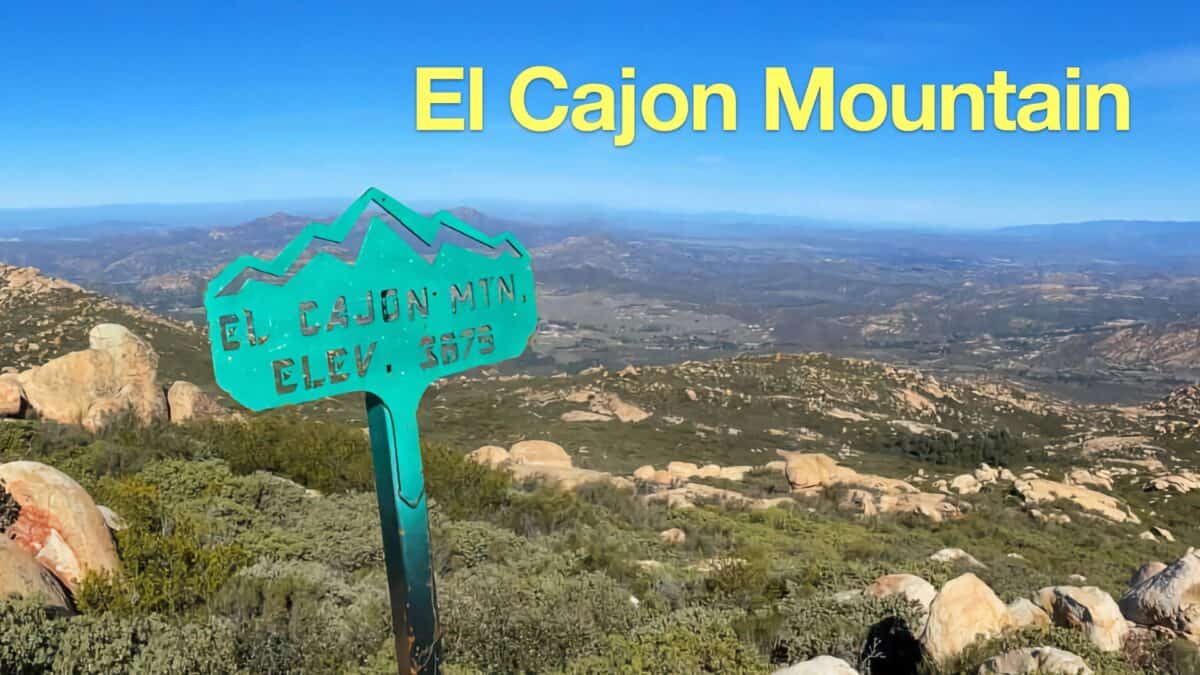 El Cajon Mountain Trail Guide
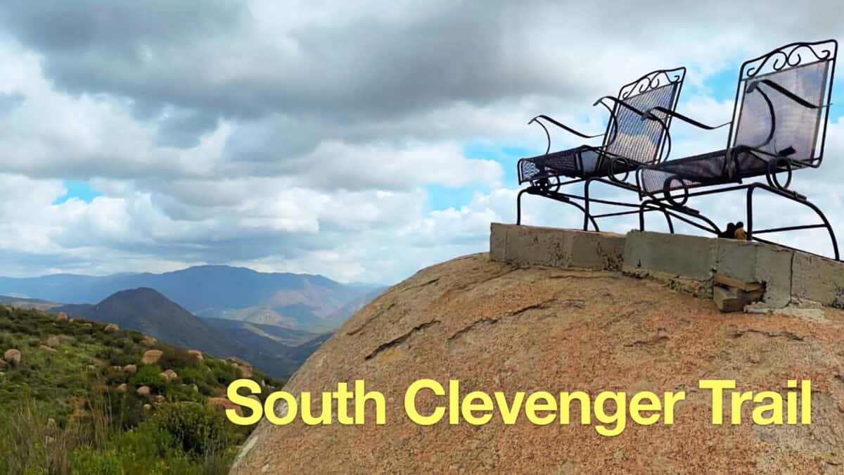 South Clevenger Trail Guide
 Hiking San Diego
Popular Guides
 Best Hiking Gear 2024
 Hiking Boots or Shoes: Do I Really Need Hiking Boots?
 When to Hit SOS on inReach
This Guide Was Written by Cris Hazzard

Hi, I'm Cris Hazzard, aka Hiking Guy, a professional outdoors guide, hiking expert, and author based in Southern California. I created this website to share all the great hikes I do with everyone else out there. This site is different because it gives detailed directions that even the beginning hiker can follow. I also share what hiking gear works and doesn't so you don't waste money. I don't do sponsored or promoted content; I share only the gear recommendations, hikes, and tips that I would with my family and friends. If you like the website and YouTube channel, please support these free guides (I couldn't do it without folks like you!). You can stay up to date with my new guides by following me on YouTube, Instagram, or by subscribing to my monthly newsletter.