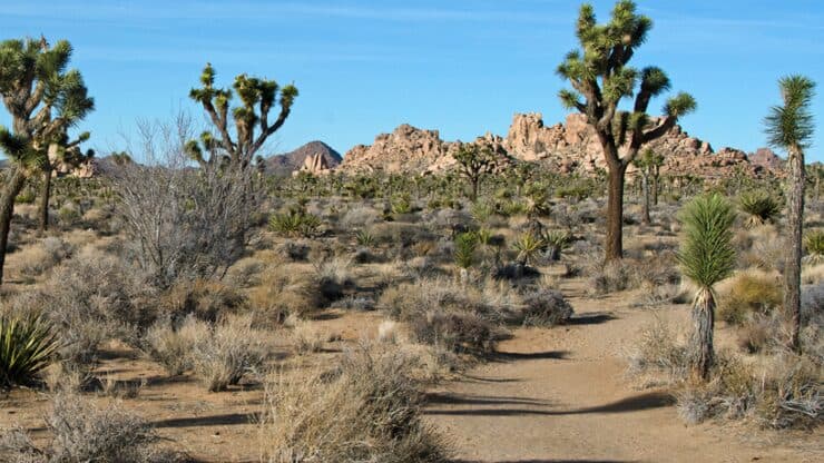

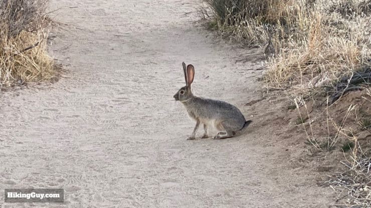
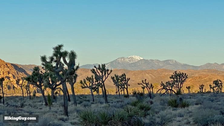
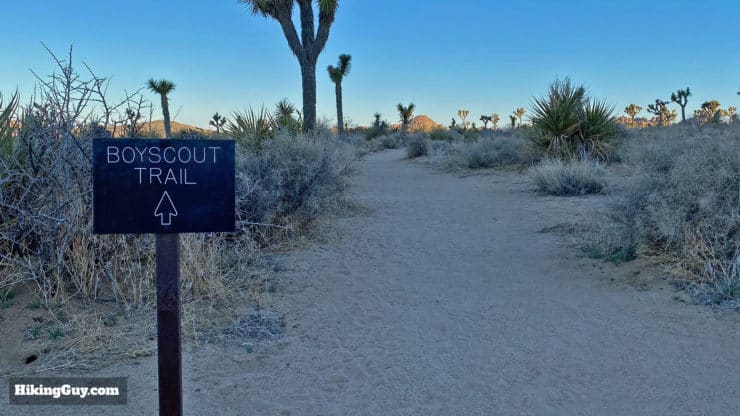
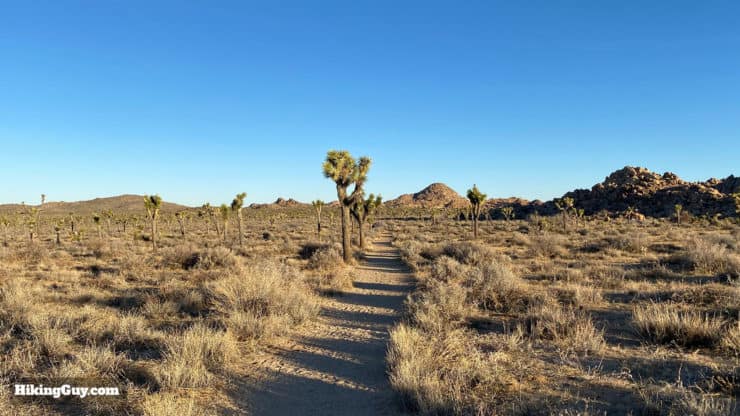
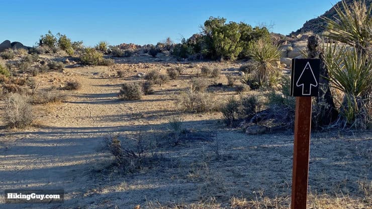
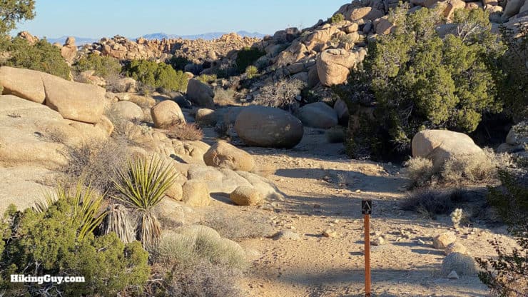
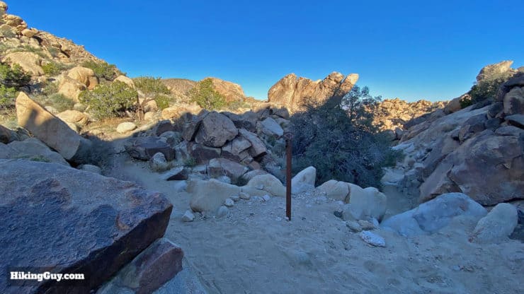
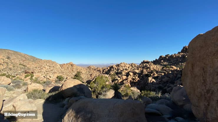
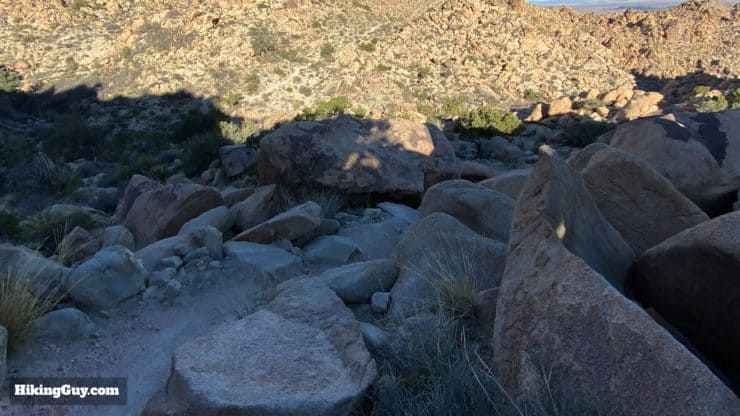
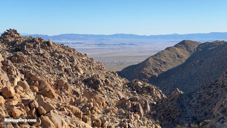
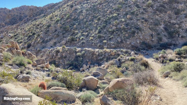
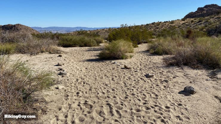
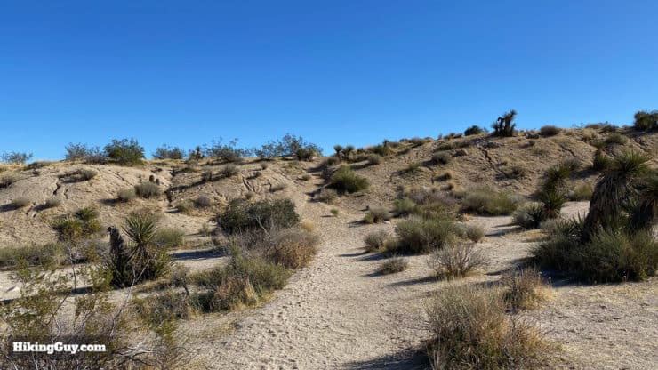
As one of the longer recommended day hikes in Joshua Tree National Park, the Boy Scout Trail is a popular hike. Starting at the Keys West Trailhead, you'll hike across an open desert full of Joshua Trees, then transition into a rocky descent through the Wonderland of Rocks that offers panoramic viewpoints. And then, 1,000 feet lower, the trail makes its way through washes and canyons to Indian Cove. The hike is unusual in that you get a taste of the upper Mojave desert with it's Joshua Trees, and then lower Mojave desert, with cactus and yucca. Do the out-and-back hike for 16 miles, or just hike to the viewpoint for a respectable 9.5-miler.
- Video and Turn By Turn Directions for the Boy Scout Trail
- How to Get to the Boy Scout Trail in Joshua Tree
- Everything You Need to Know to Prepare for the Hike
Where Is the Boy Scout Trail in Joshua Tree?
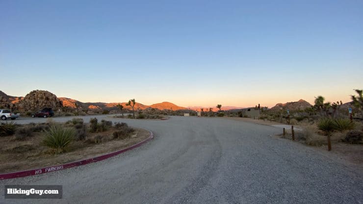
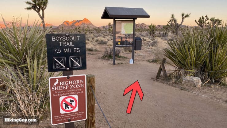
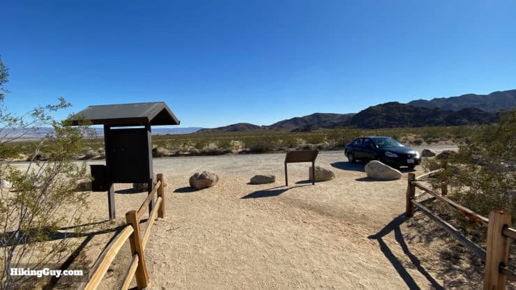
The Boy Scout Trail has two ends, and this guide starts at the east terminus of Keys West, just off of Park Blvd, relatively close to the West Entrance of the park. There are signs off the main Park Blvd for Boy Scout Trail parking. Use this trailhead address:
Boy Scout Trail, 64568 Park Blvd, Twentynine Palms, CA 92277
Gear for the Hike
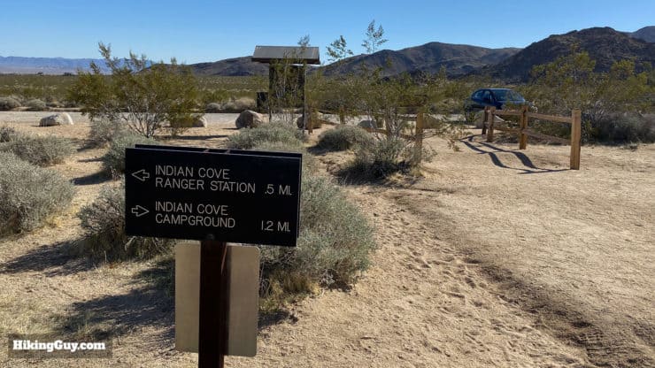
This is a long desert hike that's entirely exposed, so you need to prepare accordingly. I bring at least 3L of water, wear good hiking boots, and have trekking poles for the climbs. If you need to top up your water, you can walk an extra mile (0.5 there, 0.5 back) to the Indian Cove Entrance Station and refill when you're at the half-way point. Otherwise, there's no water on the hike for a refill. Having small snacks will keep your energy up for the distance.
Gear That I Love Right Now
Nothing is sponsored or promoted, just the actual gear that I use.


Camping on the Boy Scout Trail
Unlike the rest of Joshua Tree National Park, where dispersed camping is allowed (with a permit), the Boy Scout Trail requires you to stay at a designated campsite. This is due to the popularity of the trail. You can read about the different campsite options here and book a permit for the sites on Recreation.gov.
Boy Scout Trail Maps
How Will You Navigate?
 Using the Apple Watch for Hiking
 Garmin Fenix 7 & Epix Review For Hikers
 How To Read a Topographic Map
 Garmin GPSMAP 67i Review
Elevation Profile
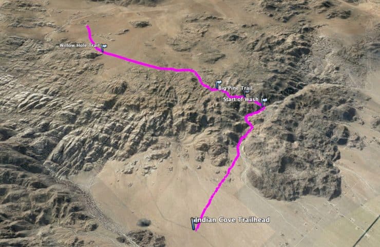
This out-and-back hike is similar to the Grand Canyon in that you start with a descent and then hike back up. What this means in practical terms is that you need to save energy for the trip back. And while the climb out is only about 1,300 feet, the first half of it is done in loose sand, which is hard to hike through. Doing the full hike is always a little tougher than you'd think.
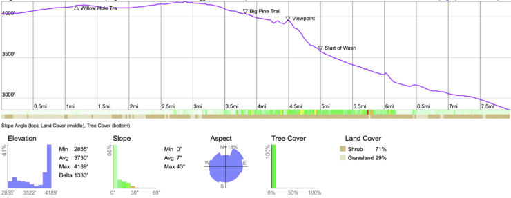
Hike Landmarks
| Landmark | Distance | Elevation |
|---|---|---|
| Trailhead | 0 | 4030 |
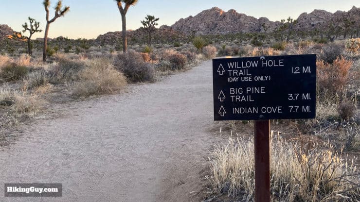
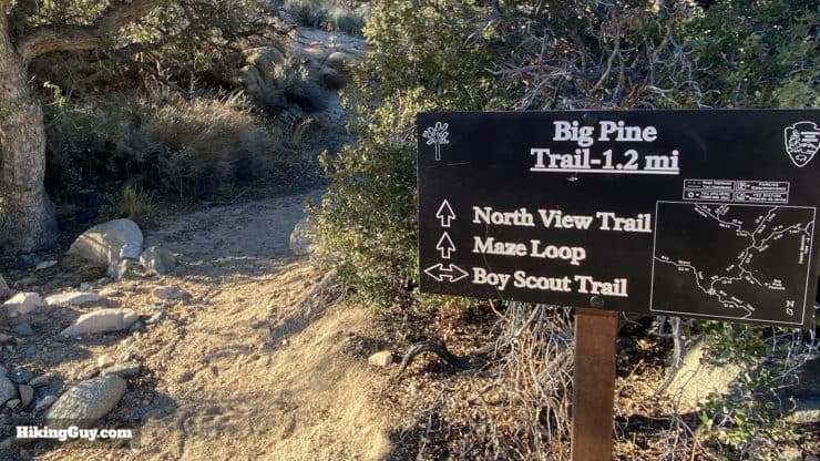
| Willow Hole Trail Junction | 1.3 | 4130 |
| Big Pine Junction | 4 | 4030 |
| Viewpoint | 4.8 | 3900 |
| Wash Begins | 5.4 | 3560 |
| Indian Cove | 8 | 2860 |
3d Map
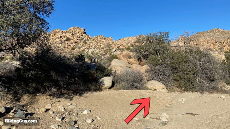
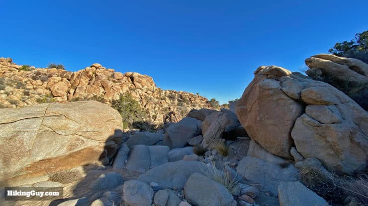
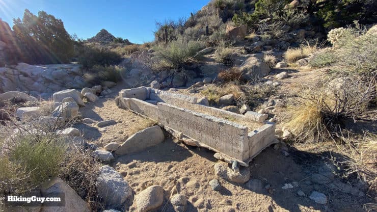
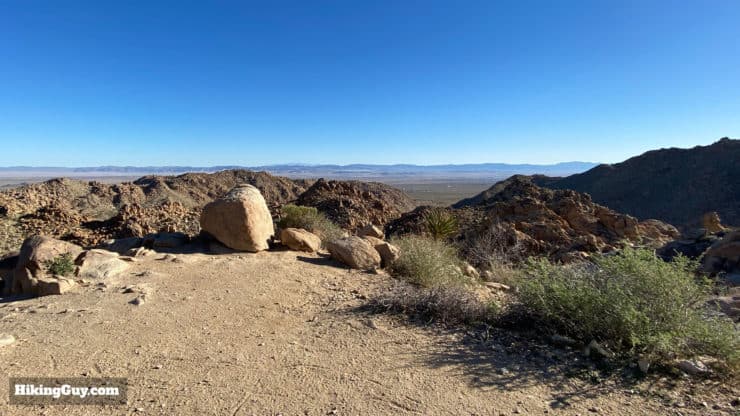
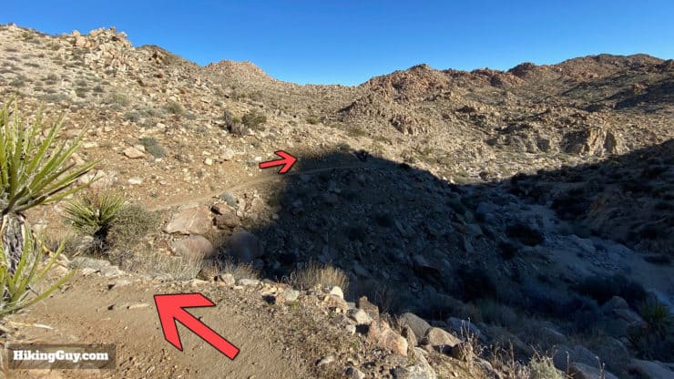
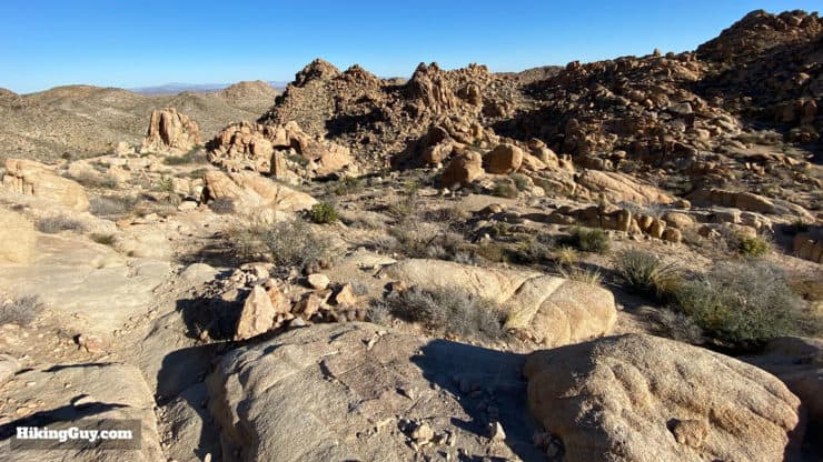
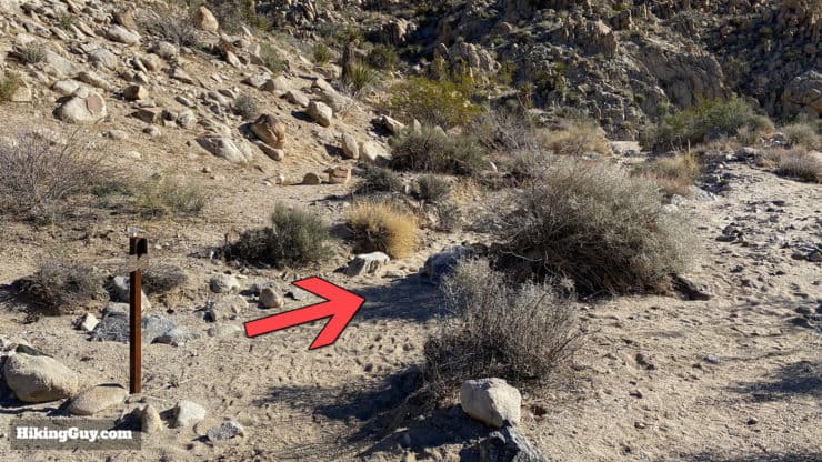
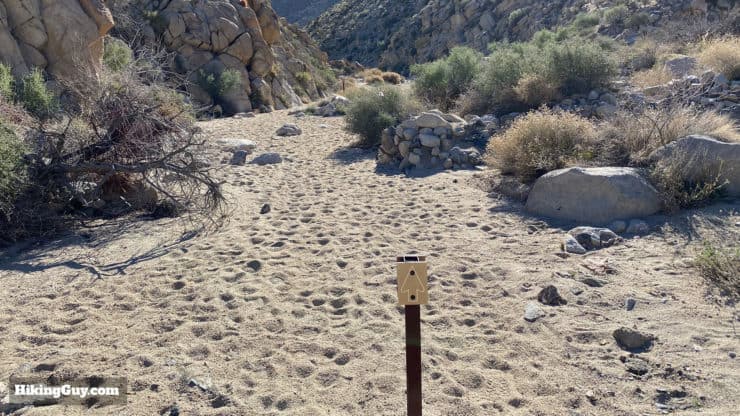
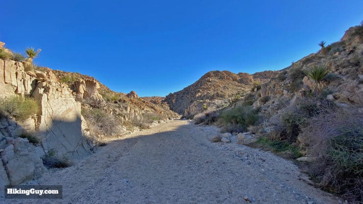
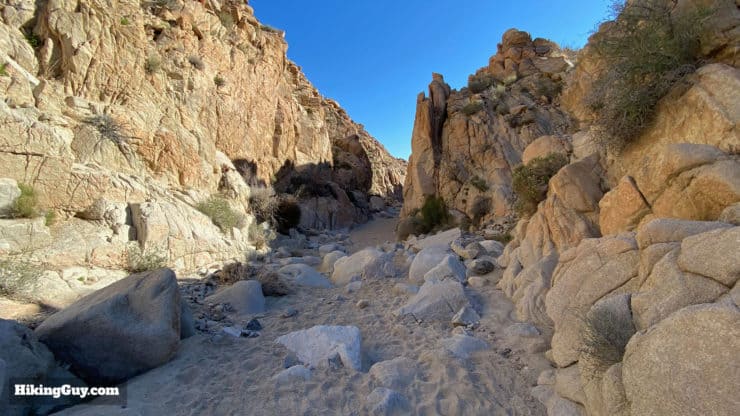
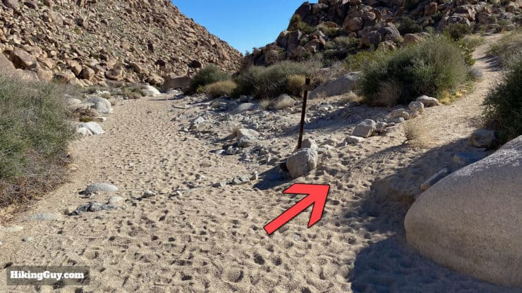
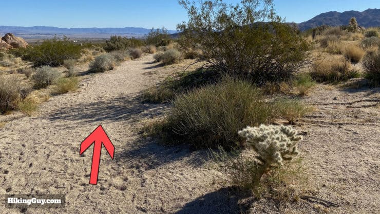
Boy Scout Trail Hike Directions

Need More Info?
- Have a question about the guide or want to see what other people are saying/asking? View the Youtube comments for this video. Leave a comment and I will do my best to respond.
- When planning, always check the park website and social media to make sure the trails are open. Similarly, check the weather and road conditions.
Related Guides
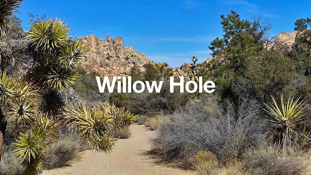 Hike Willow Hole (Joshua Tree)
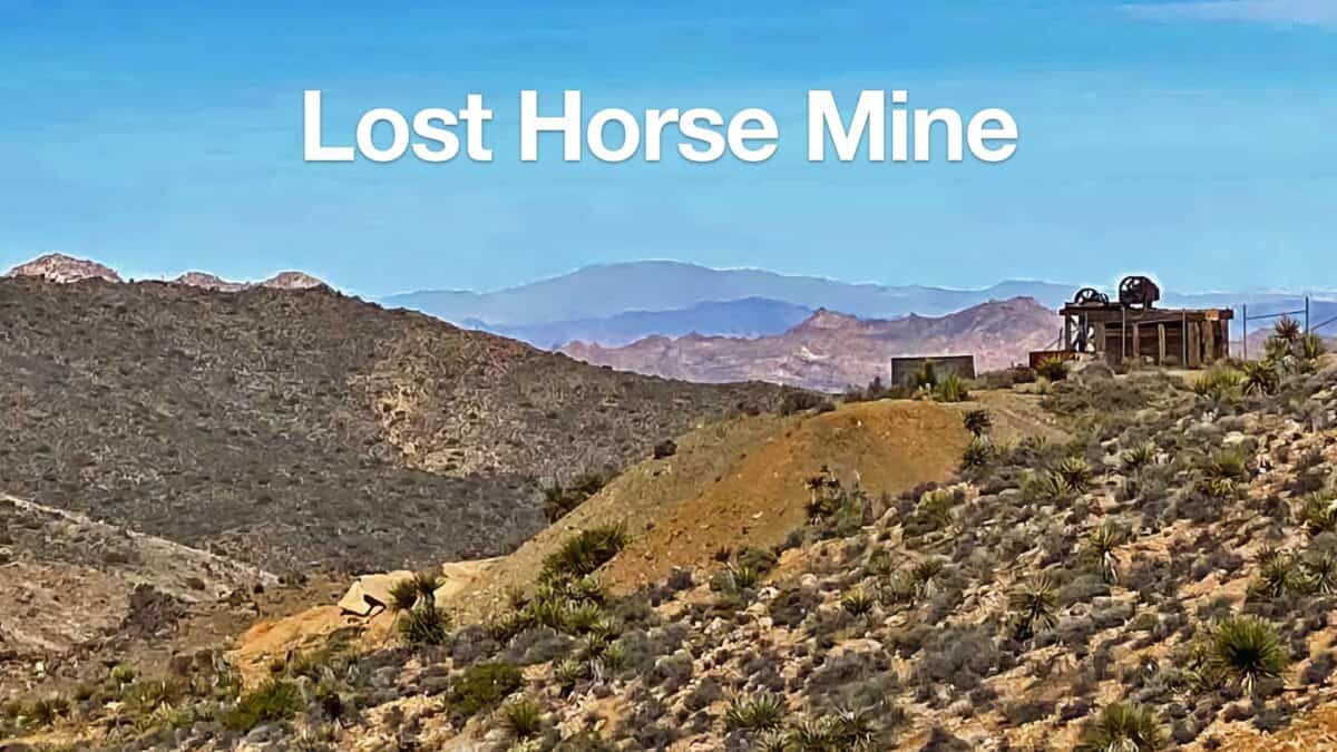 Lost Horse Mine Trail
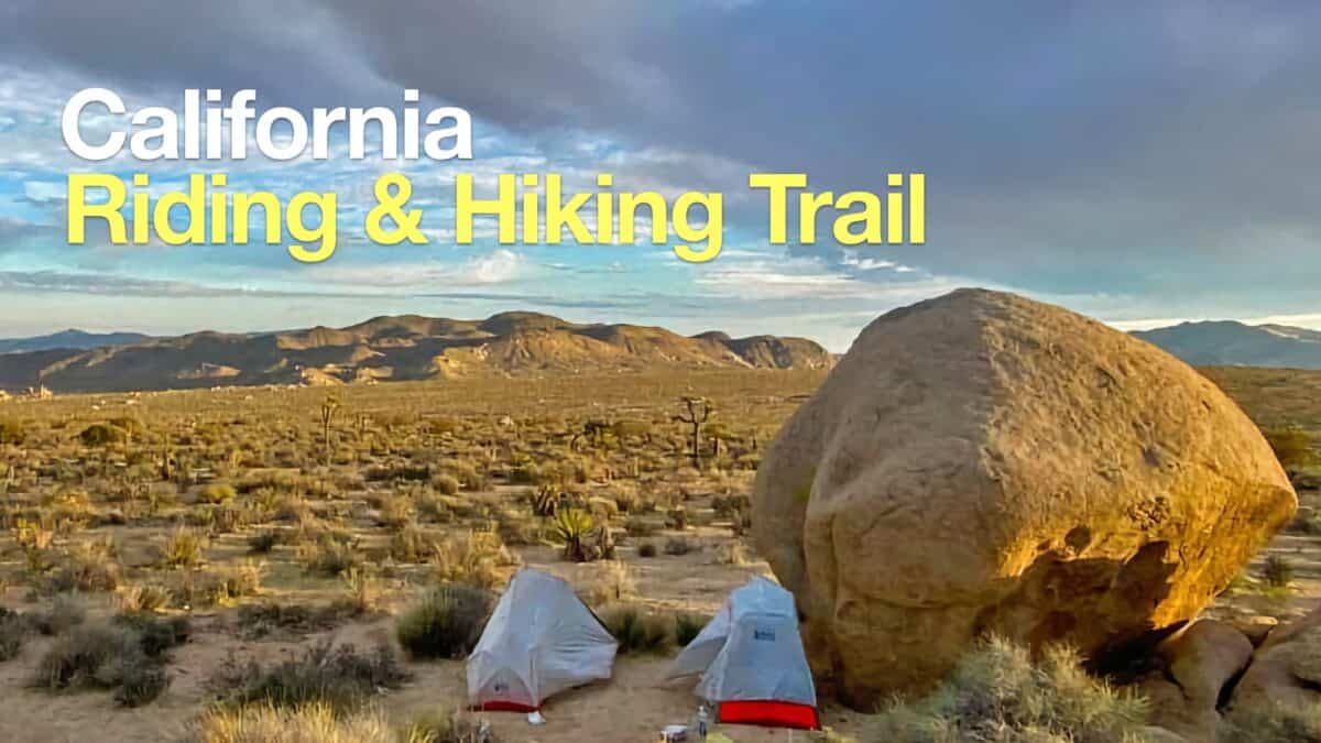 California Riding and Hiking Trail (Joshua Tree)
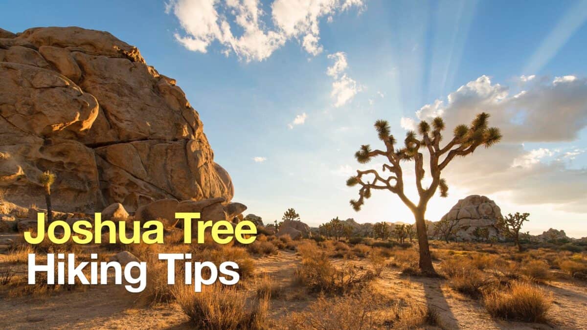 Joshua Tree Hiking Tips
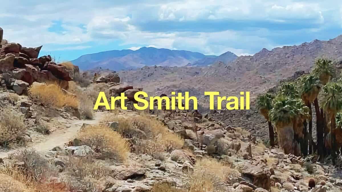 Art Smith Trail Guide
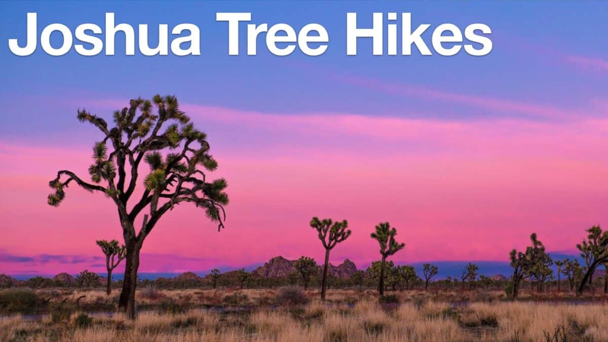 Joshua Tree Hikes
 Palm Springs Hiking Trails
 Hikes In and Around Riverside County
Popular Guides
 Best Hiking Gear 2024
 Hiking Boots or Shoes: Do I Really Need Hiking Boots?
 When to Hit SOS on inReach
This Guide Was Written by Cris Hazzard

Hi, I'm Cris Hazzard, aka Hiking Guy, a professional outdoors guide, hiking expert, and author based in Southern California. I created this website to share all the great hikes I do with everyone else out there. This site is different because it gives detailed directions that even the beginning hiker can follow. I also share what hiking gear works and doesn't so you don't waste money. I don't do sponsored or promoted content; I share only the gear recommendations, hikes, and tips that I would with my family and friends. If you like the website and YouTube channel, please support these free guides (I couldn't do it without folks like you!). You can stay up to date with my new guides by following me on YouTube, Instagram, or by subscribing to my monthly newsletter.