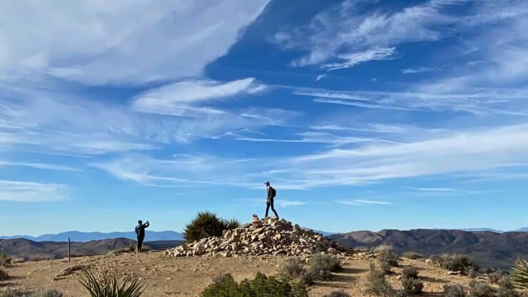

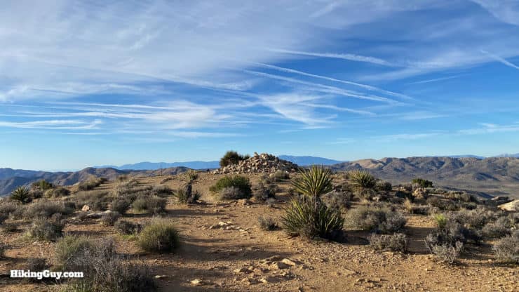
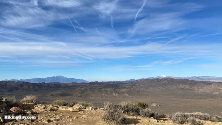
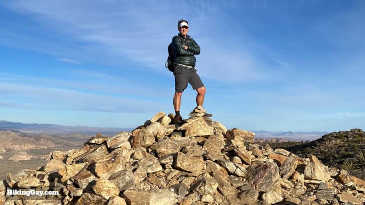
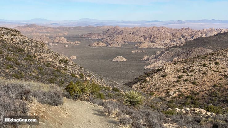
The Ryan Mountain Trail is one of the most popular hikes in Joshua Tree for a good reason. Ryan Mountain, at 5,457 feet, right in the middle of Joshua Tree, offers panoramic views as far as the eye can see. On a clear day you'll be able to see the massive peaks of San Jacinto and San Gorgonio, the highest point in Southern California. The actual trail is straightforward but tough, climbing 1,050 feet to the summit of Ryan Mountain. It's a must-do hike in Joshua Tree, so give it a try!
- Turn by Turn Hike Directions and Video
- Ryan Mountain Trail Maps
- Everything You Need to Know To Do the Hike
The Ryan Mountain Trail is one of the most popular hikes in Joshua Tree for a good reason. Ryan Mountain, at 5,457 feet, right in the middle of Joshua Tree, offers panoramic views as far as the eye can see. On a clear day you'll be able to see the massive peaks of San Jacinto and San Gorgonio, the highest point in Southern California. The actual trail is straightforward but tough, climbing 1,050 feet to the summit of Ryan Mountain. It's a must-do hike in Joshua Tree, so give it a try!
How to Get to the Ryan Mountain Trail
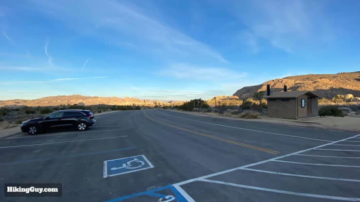
The Ryan Mountain Trail is located right in the middle of Joshua Tree Park on Park Blvd. Use this trailhead address:
Ryan Mountain Trail, Park Blvd, Twentynine Palms, CA 92277
Ryan Mountain is the most popular hike in the park. Get here at dawn for the best experience.
Gear for the Hike
The Ryan Mountain Trail is pretty straightforward but it is tough. There is no shade and in the summer there have been emergency evacuations due to the heat. Bring at least 1L of water; when it's hot bring at least 2L. The trail is rocky and light hiking boots will be the best option for your feet. You can also do this hike in fitness clothes. I've seen folks do it in casual clothing but it won't feel great.
Gear That I Love Right Now
Nothing is sponsored or promoted, just the actual gear that I use.


Ryan Mountain Trail Maps
How Will You Navigate?
 Using the Apple Watch for Hiking
 Garmin Fenix 7 & Epix Review For Hikers
 How To Read a Topographic Map
 Garmin GPSMAP 67i Review
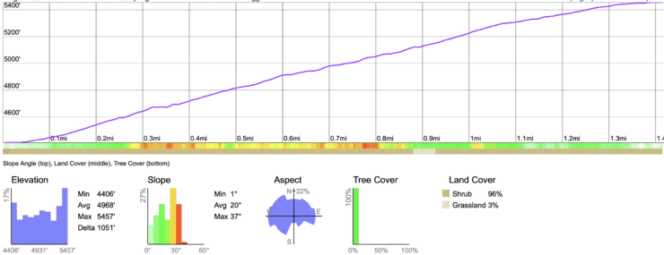
Elevation Pr0file
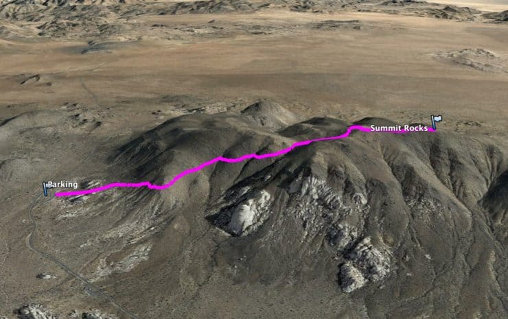
3D Map
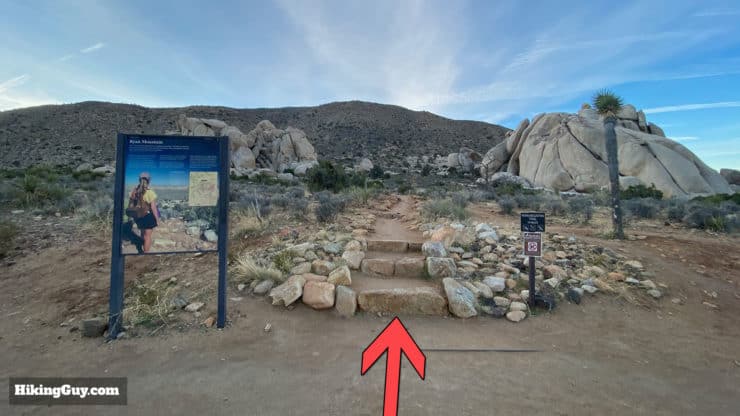
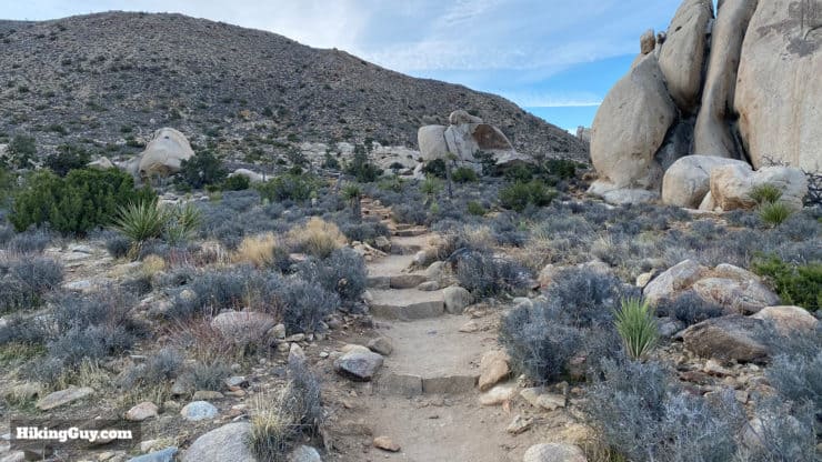
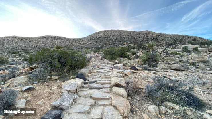
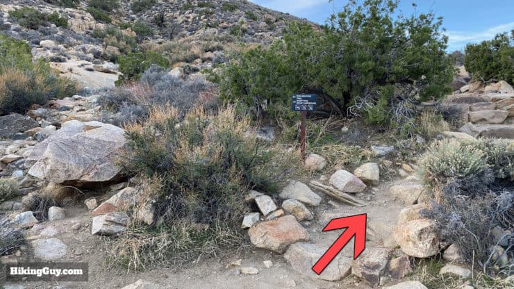
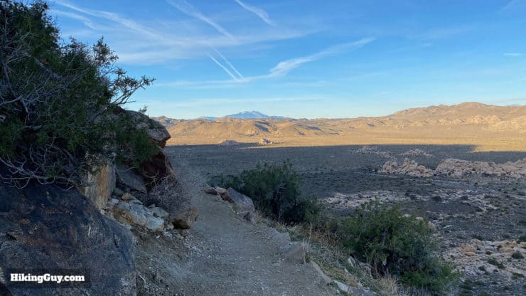
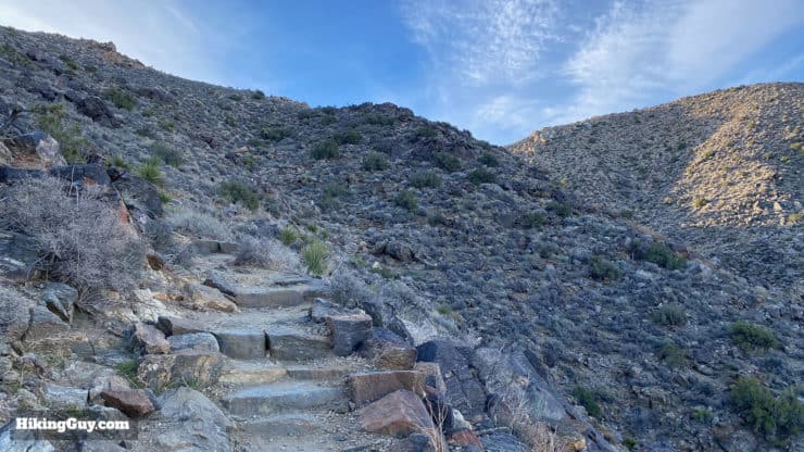
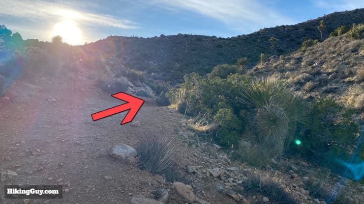
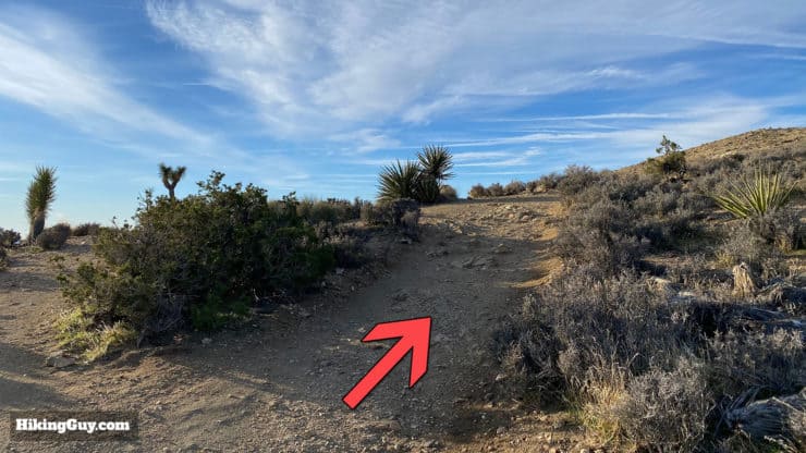
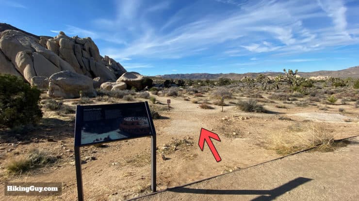
Ryan Mountain Trail Hike Directions
Ryan Mountain is named after J.D. Ryan, who started a mill to crush stone here for miners in 1895. The steam mill required wood from the neighboring landscape to run, and the deforestation from the mill is still evident today in the park, over 100 years later.
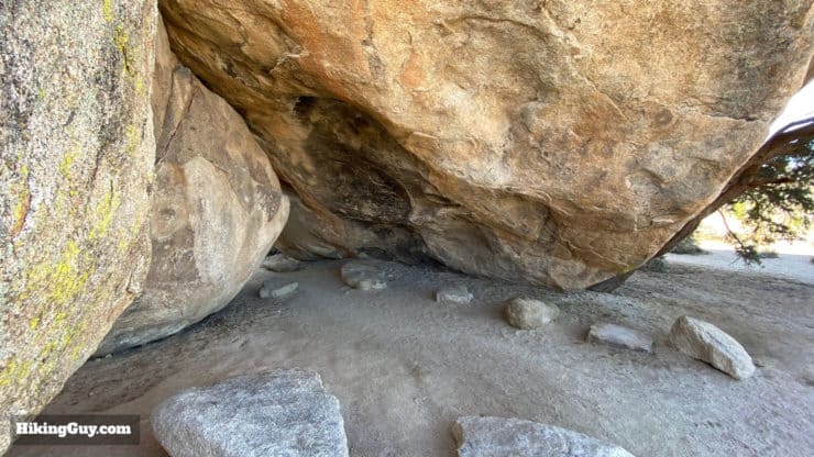
Native Rock Shelter
When you get back to the parking lot, don't forget to visit the Native American rock shelter a minute away from the lot.
Need More Info?
- Have a question about the guide or want to see what other people are saying/asking? View the Youtube comments for this video. Leave a comment and I will do my best to respond.
- When planning, always check the park website and social media to make sure the trails are open. Similarly, check the weather and road conditions.
Related Guides
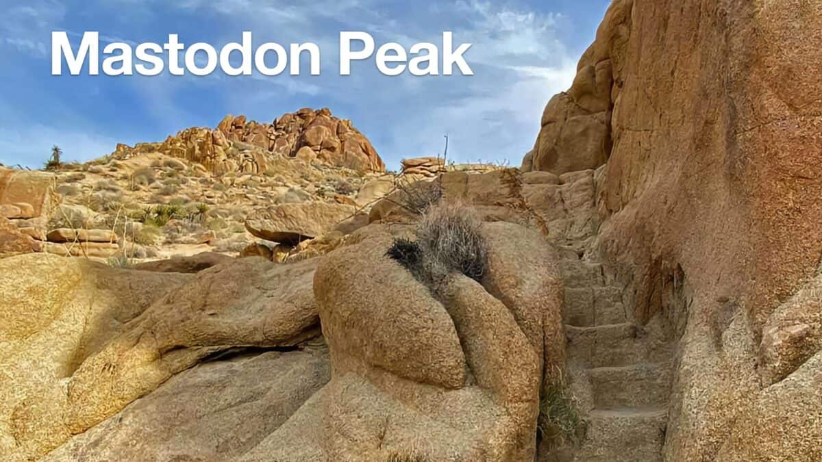 Hike Mastodon Peak Trail
 Hike the 49 Palms Oasis Trail
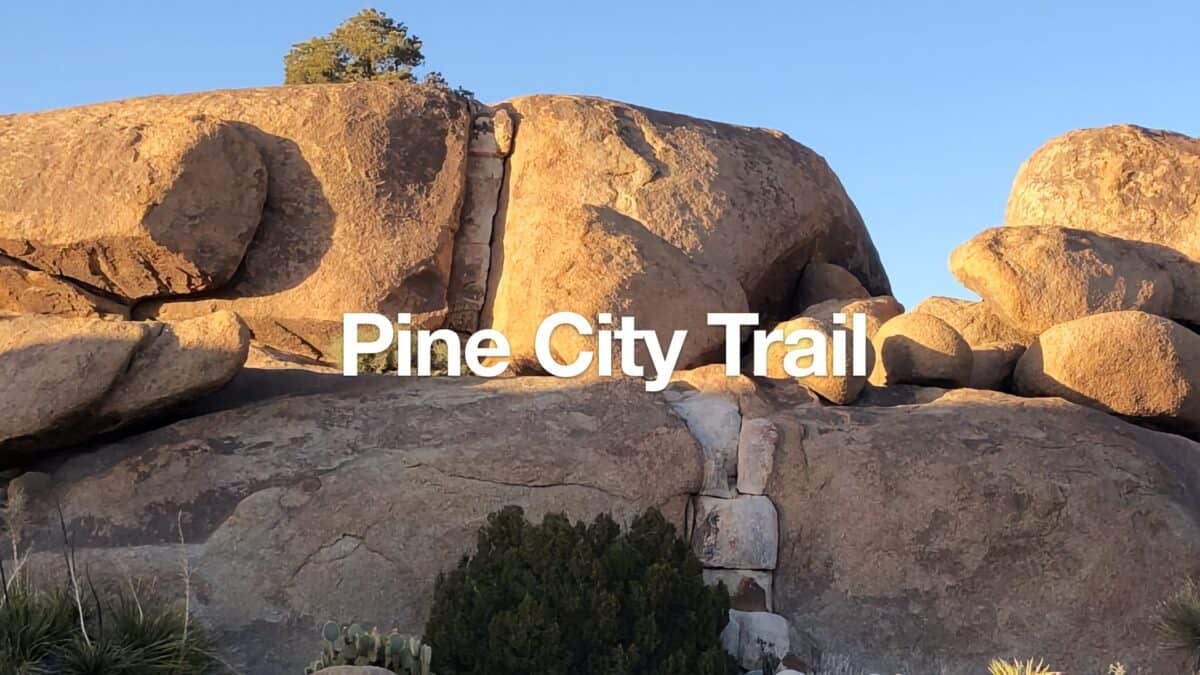 Hike the Pine City Trail (Joshua Tree)
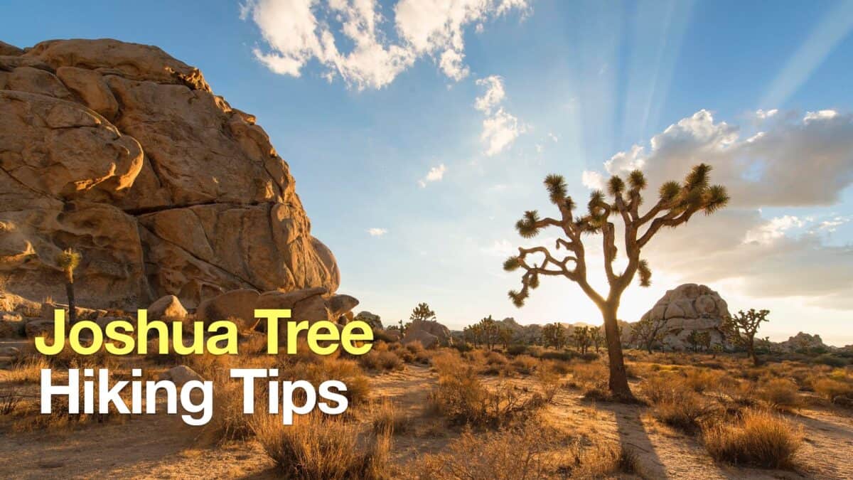 Joshua Tree Hiking Tips
 Panorama Loop and Warren Peak (Joshua Tree)
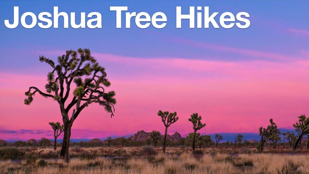 Joshua Tree Hikes
 Palm Springs Hiking Trails
 Hikes In and Around Riverside County
Popular Guides
 Best Hiking Gear 2024
 Hiking Boots or Shoes: Do I Really Need Hiking Boots?
 When to Hit SOS on inReach
This Guide Was Written by Cris Hazzard

Hi, I'm Cris Hazzard, aka Hiking Guy, a professional outdoors guide, hiking expert, and author based in Southern California. I created this website to share all the great hikes I do with everyone else out there. This site is different because it gives detailed directions that even the beginning hiker can follow. I also share what hiking gear works and doesn't so you don't waste money. I don't do sponsored or promoted content; I share only the gear recommendations, hikes, and tips that I would with my family and friends. If you like the website and YouTube channel, please support these free guides (I couldn't do it without folks like you!). You can stay up to date with my new guides by following me on YouTube, Instagram, or by subscribing to my monthly newsletter.