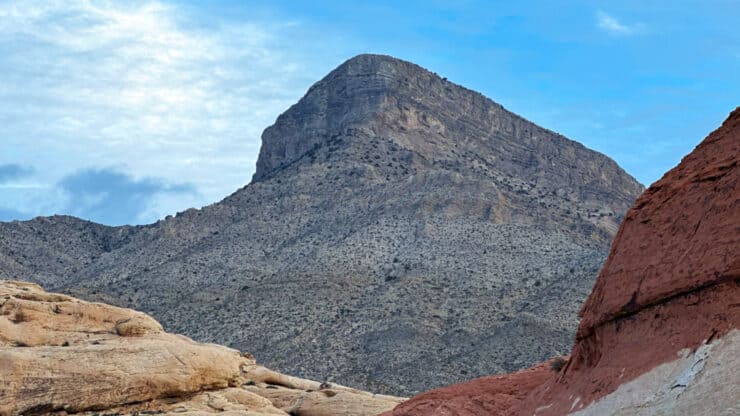

One of the best hikes in Red Rock Canyon, the Turtlehead Peak hike is challenging but rewards you with sweeping 360 views into Las Vegas and the surrounding La Madre mountains. The trail to Turtlehead Peak is the shortest summit hike in Red Rock Canyon park, so be prepared for a workout and some crowds. But it's worth it; the views are incredible.
- Video and Turn By Turn Directions
- How to Get to the Trailhead
- What to Watch Out For & Insider Tips
How To Get To the Turtlehead Peak Trail
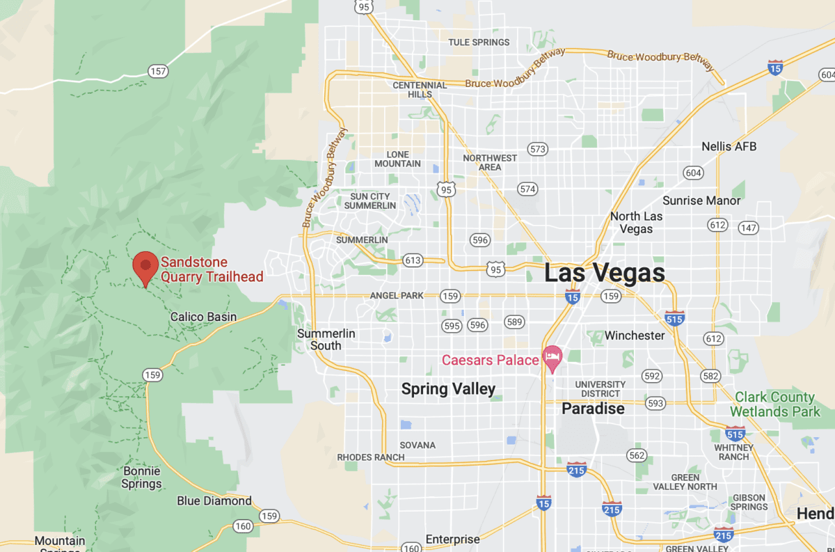
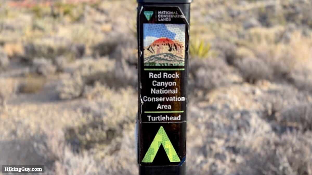
Turtlehead Peak is one of the numerous hikes in Red Rock Canyon National Conservation Area, which the Bureau of Land Management runs. The hike is reached by driving around the (one-way) Scenic Drive. You must get a timed entry for Red Rock Canyon at some points in the year, so check the Recreation.gov website before you go. You don't have to pay an entry fee if you have a National Parks Pass.
Red Rock Canyon is Nevada's first National Conservation Area.
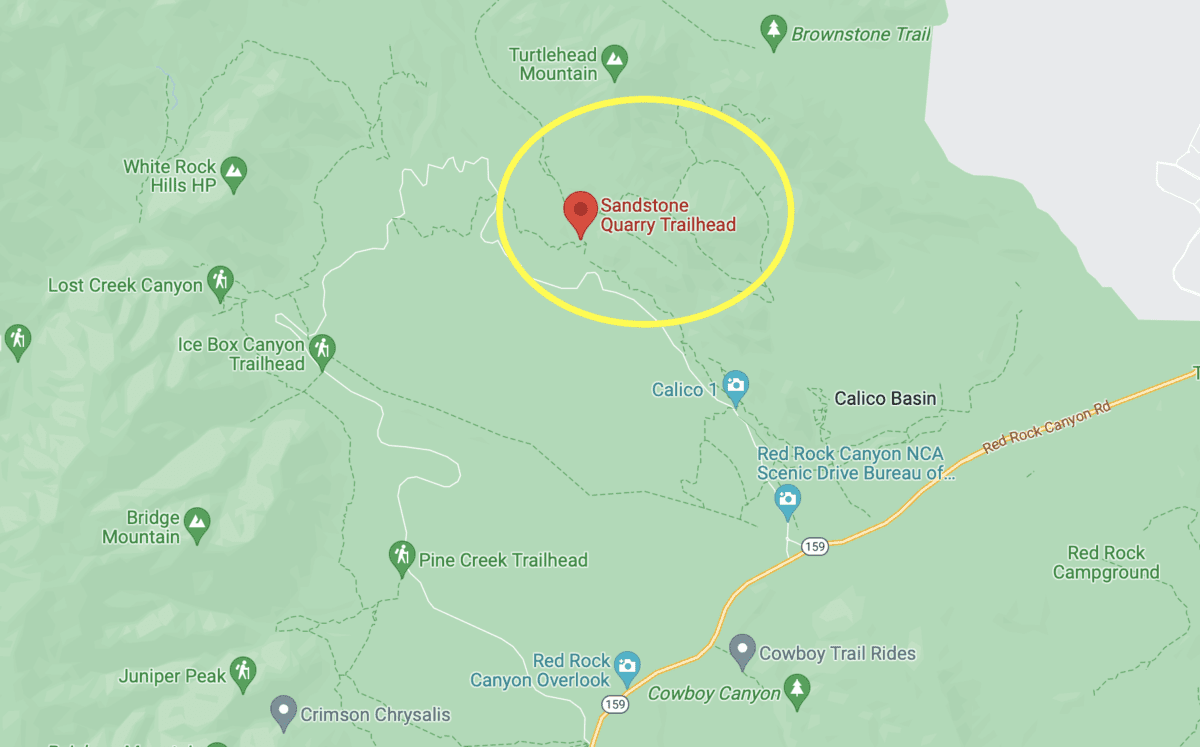
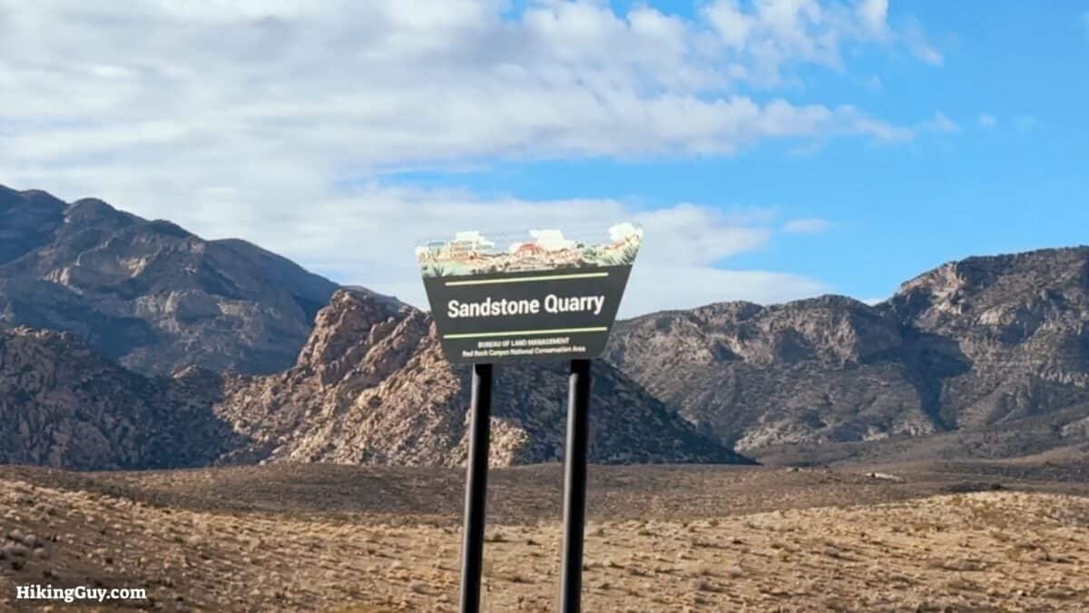
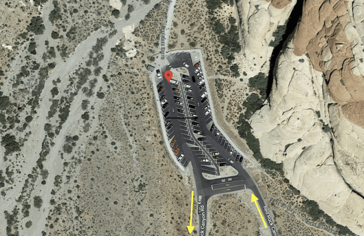
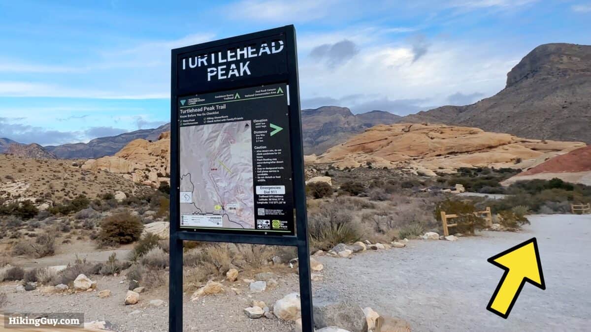
The Turtlehead Peak hike trailhead is about 3 miles past the Red Rock Canyon visitor center, at the Sandstone Quarry Trailhead. Use this trailhead address: Sandstone Quarry Trailhead, Red Rock Canyon, Las Vegas, NV 89161
Come early, this hike can get busy later in the morning.
Gear For The Hike
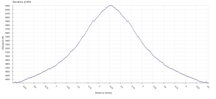
Turtlehead Peak is in the Mojave Desert, and it can get very hot in the summer and surpassingly cold in the winter, especially at the summit. The summit is often windy too, so having a layer and a shell for the top is smart. Bring 2L of water and a snack for the summit. Trekking poles are also helpful for the steep climb and descent.
Don't hike Turtlehead Peak when the temperatures are high. It's strenuous and you risk heat stroke.
Gear That I Love Right Now
Nothing is sponsored or promoted, just the actual gear that I use.


Turtlehead Peak Trail Maps
How Will You Navigate?
 Using the Apple Watch for Hiking
 Garmin Fenix 7 & Epix Review For Hikers
 How To Read a Topographic Map
 Garmin GPSMAP 67i Review
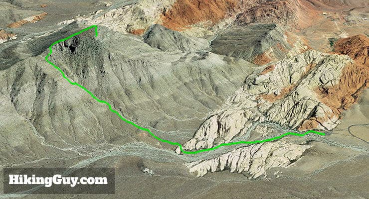
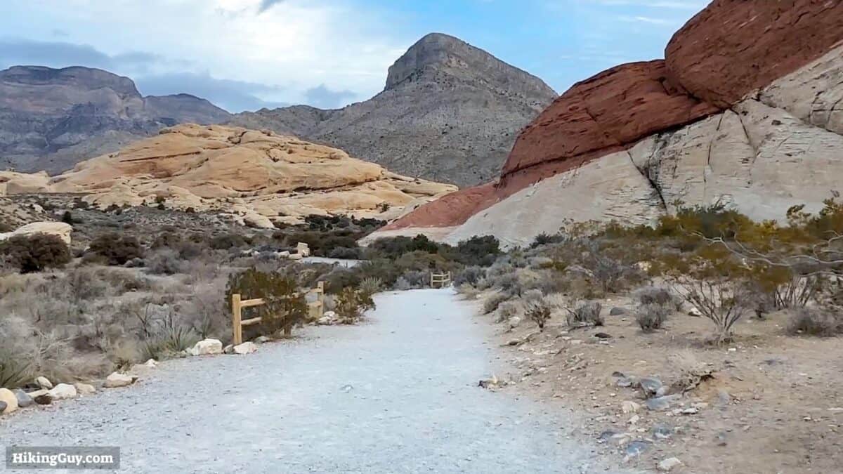
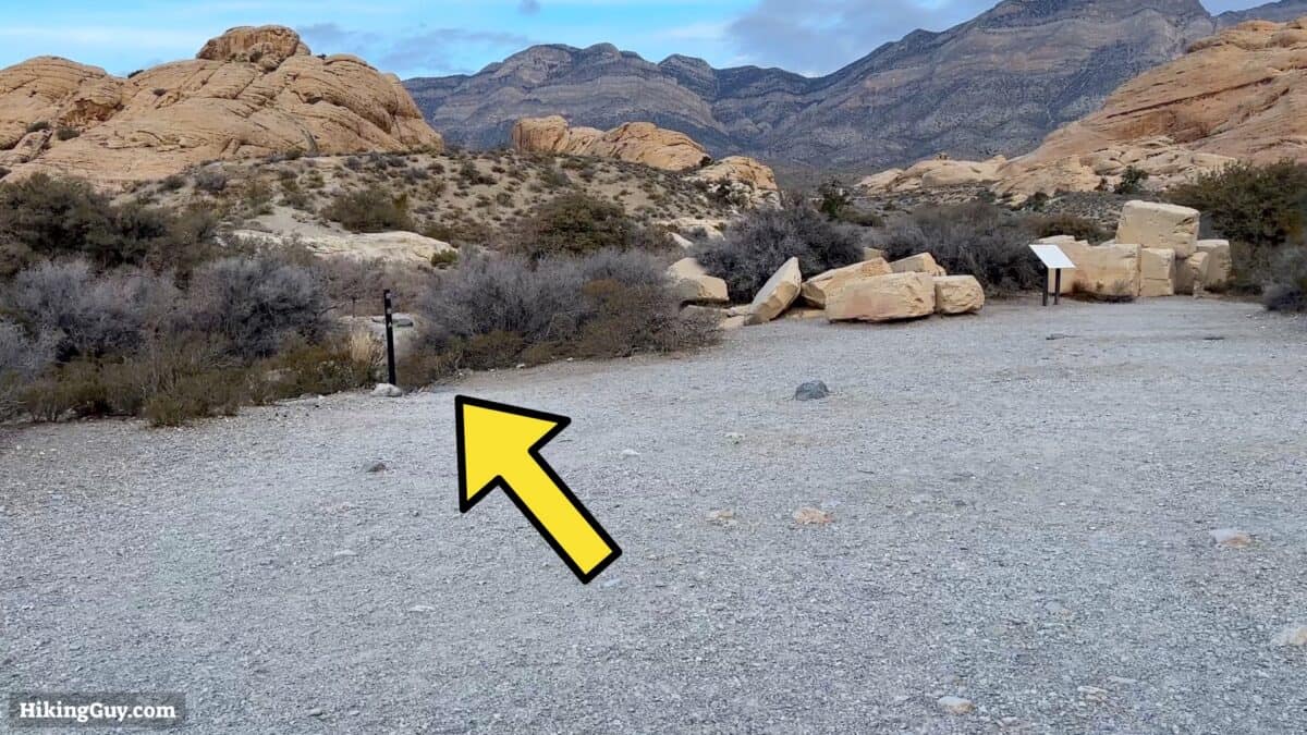
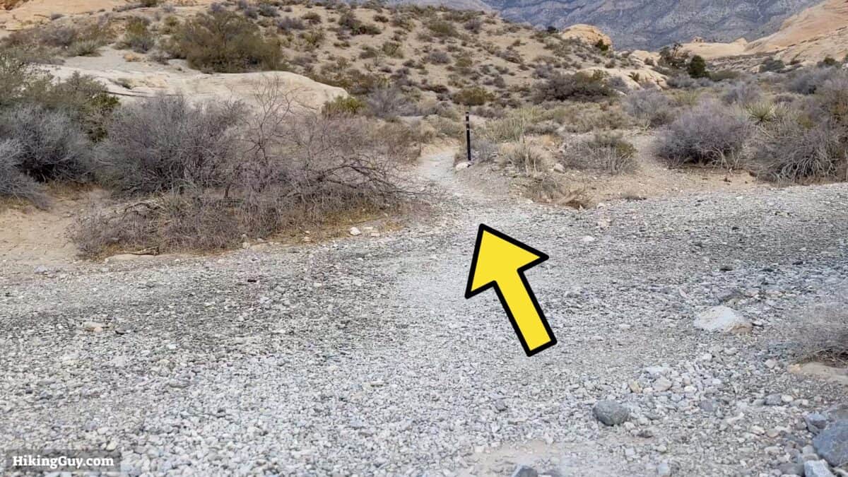
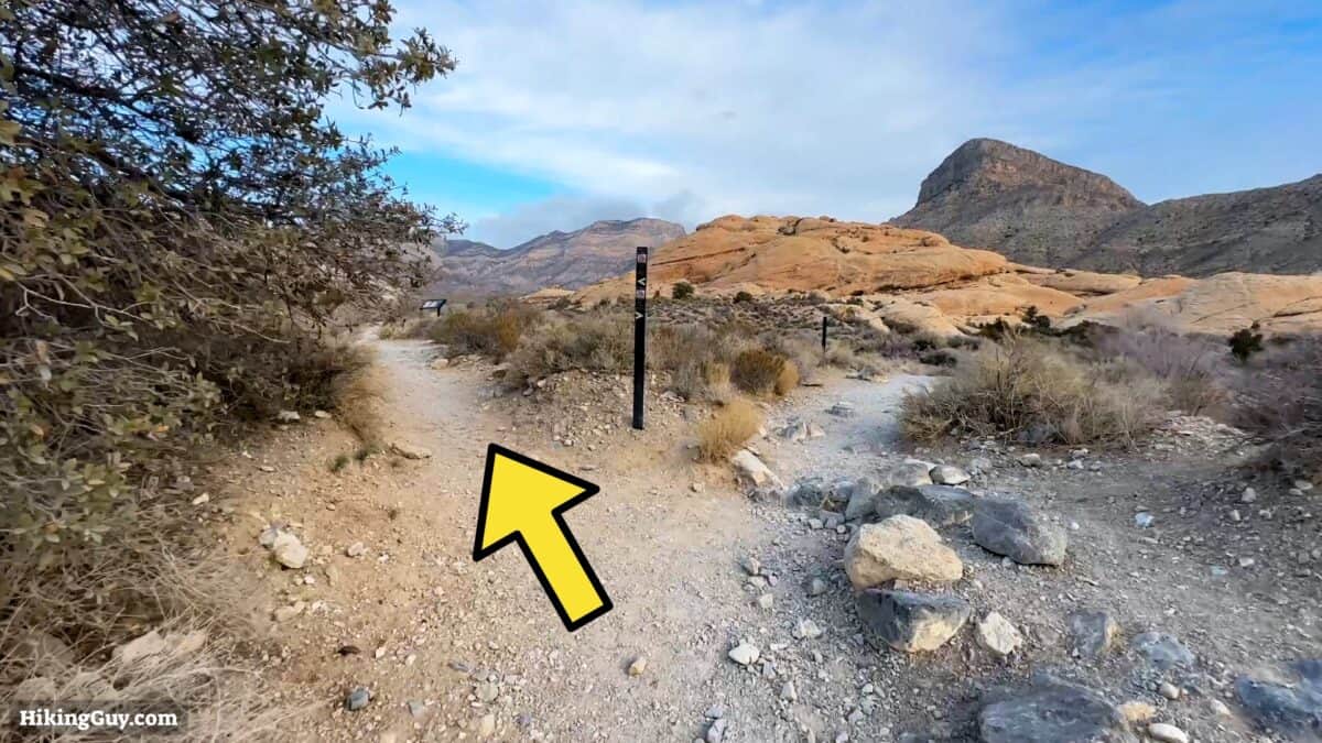
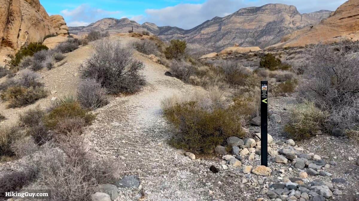
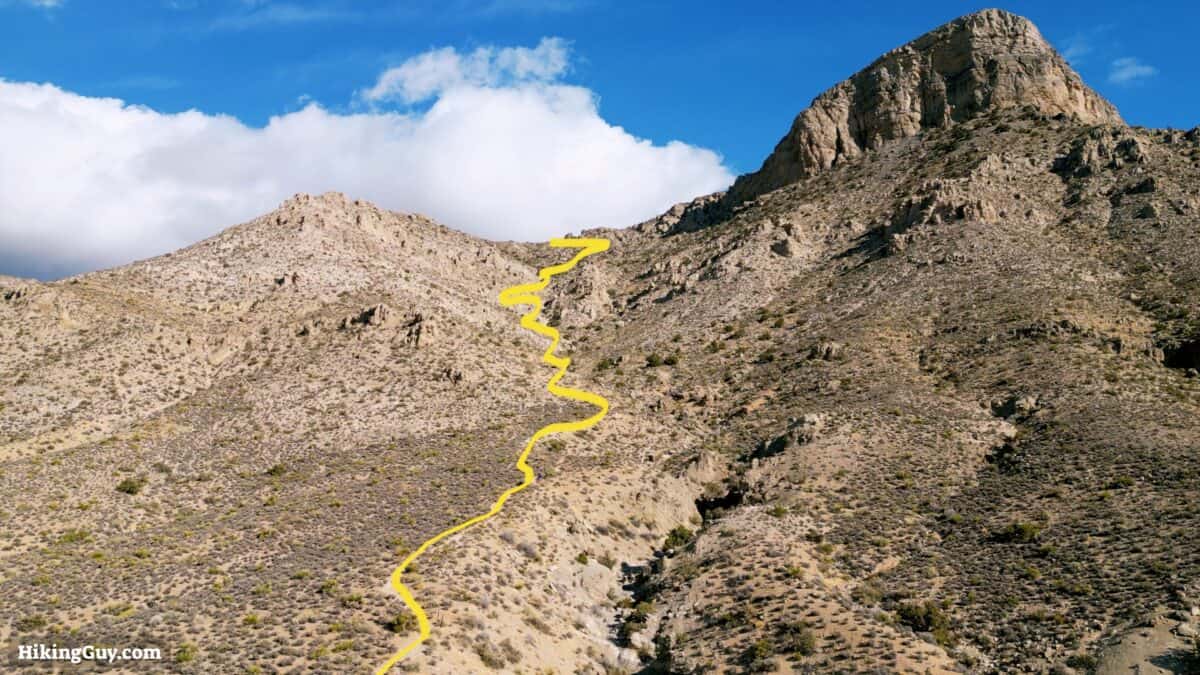
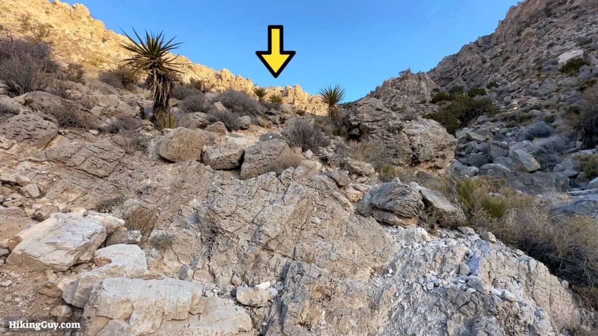
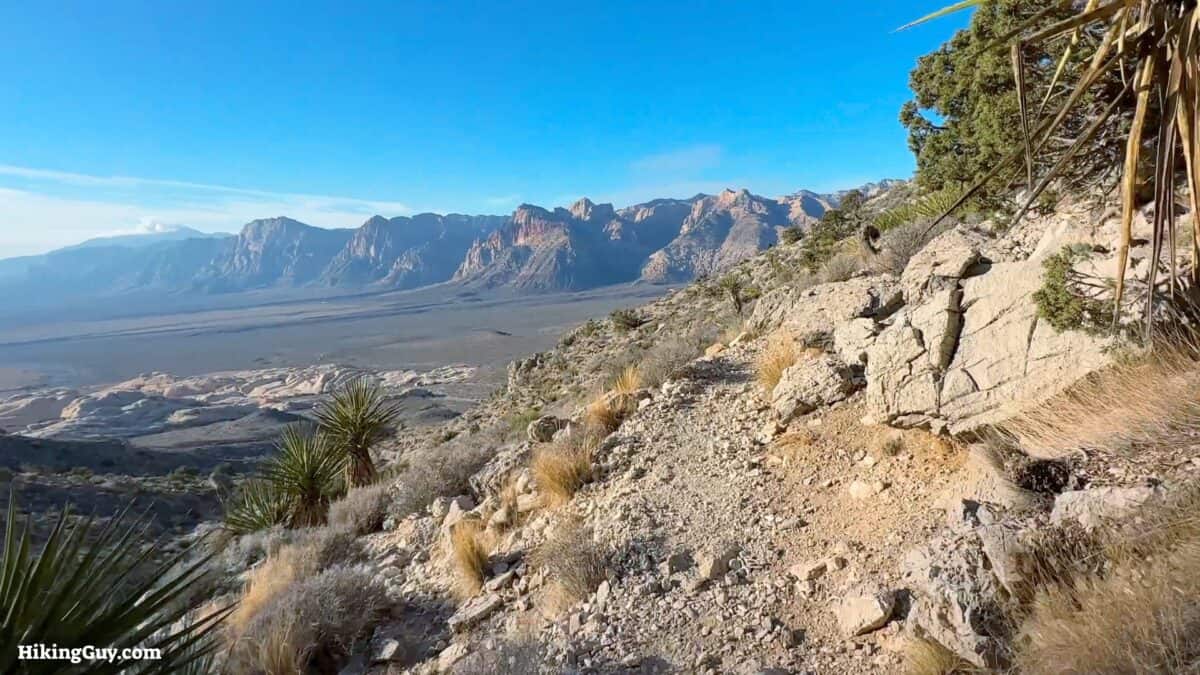
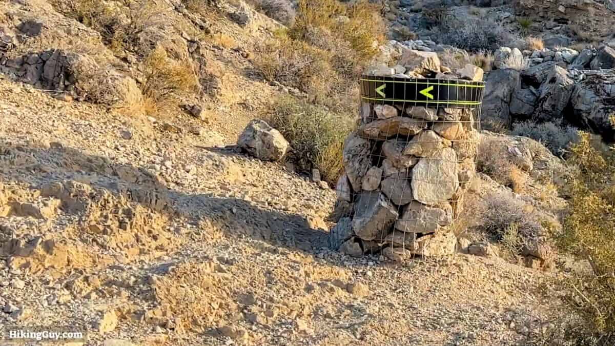
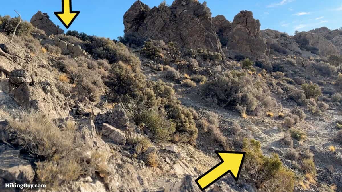
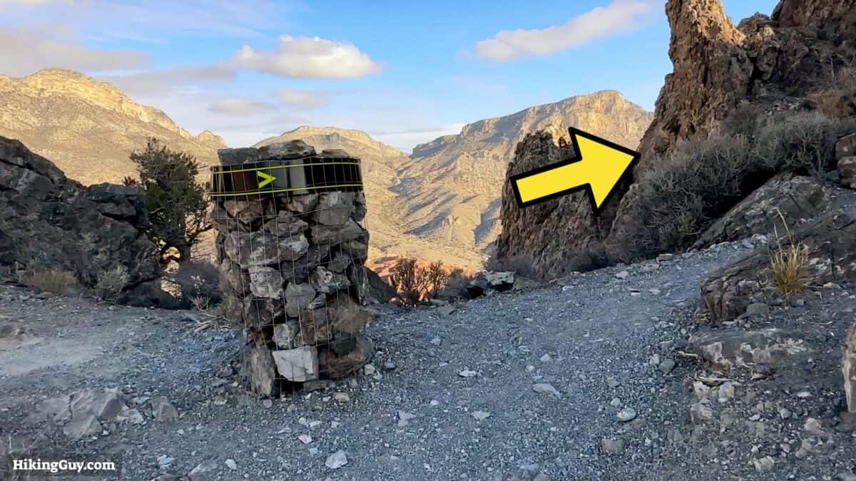
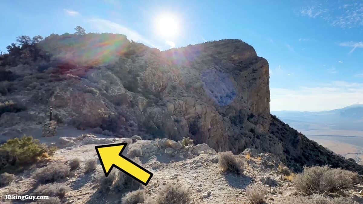
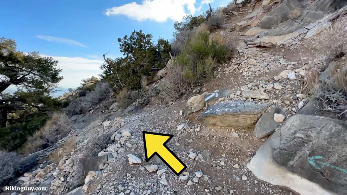
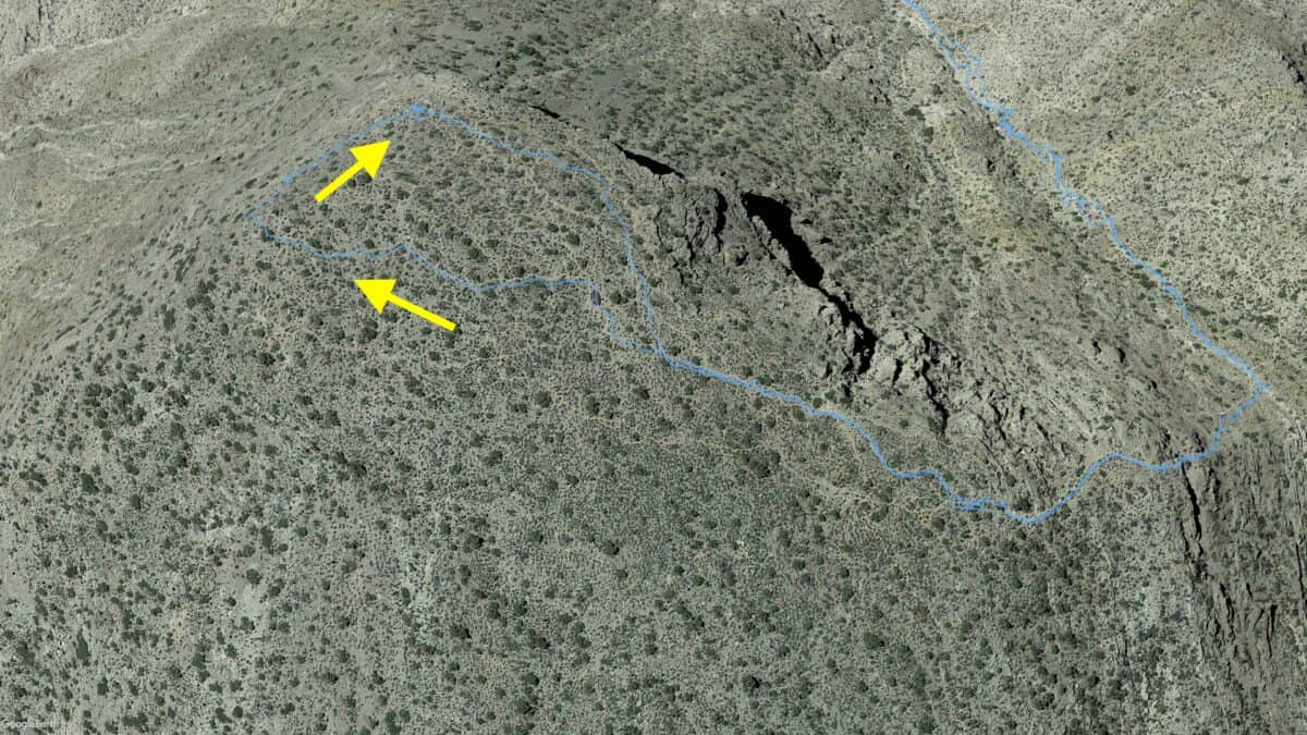
Turtlehead Peak Hike Directions
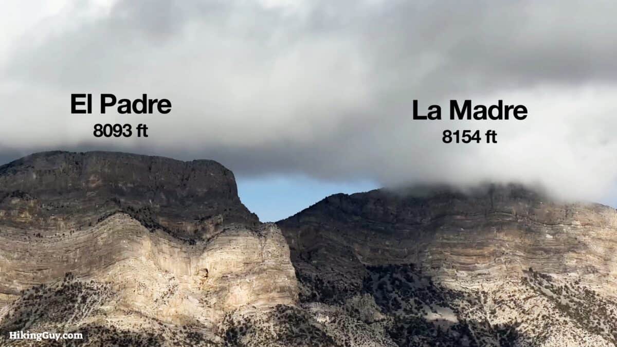
Turtlehead Peak isn't the highest point in the park; that honor goes to La Madre Mountain at 8,154ft. But Turtlehead Peak is the highest peak within the park that you can hike to.
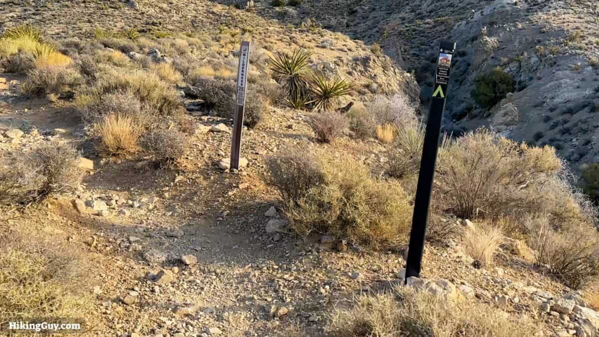
Want to know what makes a Wilderness Area? Watch this.
Don't be surprised if you see struggling tourists on the trail. The hike is popular with inexperienced hikers who go to the visitor center, get a map, and go for it.
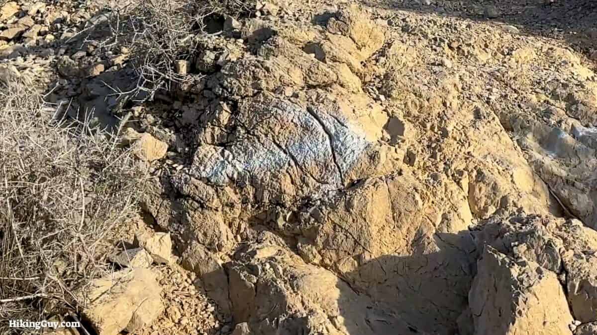
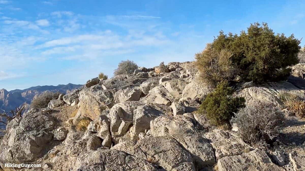
Although you'll see this slab of limestone referred to as Turtlehead Peak in the park literature, it's official name on the USGS map is Turtlehead Mountain.


Need More Info?
- Have a question about the guide or want to see what other people are saying/asking? View the Youtube comments for this video. Leave a comment and I will do my best to respond.
- When planning, always check the park website and social media to make sure the trails are open. Similarly, check the weather and road conditions.
Related Guides
 Calico Tanks Trail
 Ice Box Canyon Trail
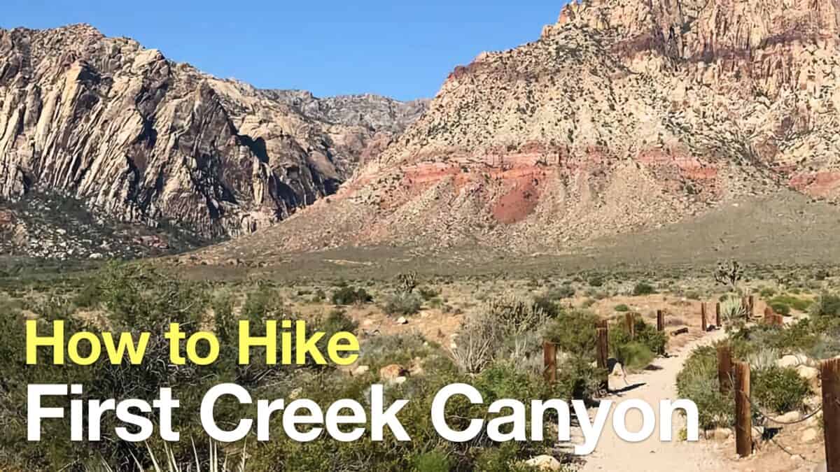 Hike First Creek Canyon Trail
 Mt Charleston Peak Hike - South Loop Trail
 Las Vegas Hikes
Popular Guides
 Best Hiking Gear 2024
 Hiking Boots or Shoes: Do I Really Need Hiking Boots?
 When to Hit SOS on inReach
This Guide Was Written by Cris Hazzard

Hi, I'm Cris Hazzard, aka Hiking Guy, a professional outdoors guide, hiking expert, and author based in Southern California. I created this website to share all the great hikes I do with everyone else out there. This site is different because it gives detailed directions that even the beginning hiker can follow. I also share what hiking gear works and doesn't so you don't waste money. I don't do sponsored or promoted content; I share only the gear recommendations, hikes, and tips that I would with my family and friends. If you like the website and YouTube channel, please support these free guides (I couldn't do it without folks like you!). You can stay up to date with my new guides by following me on YouTube, Instagram, or by subscribing to my monthly newsletter.