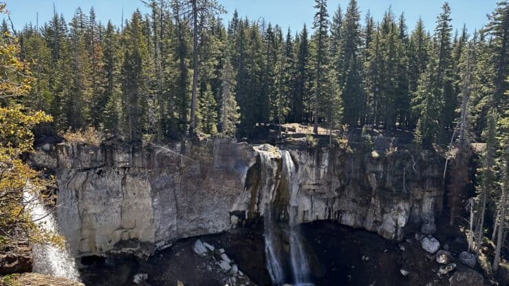

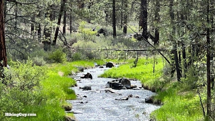
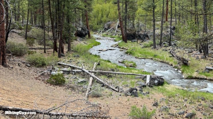
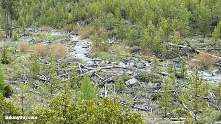
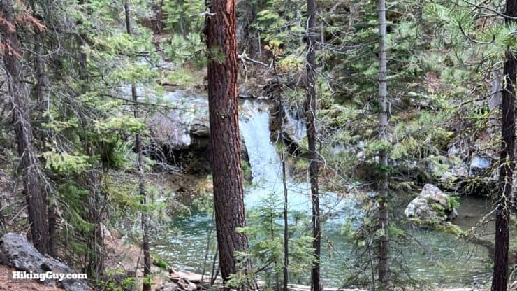
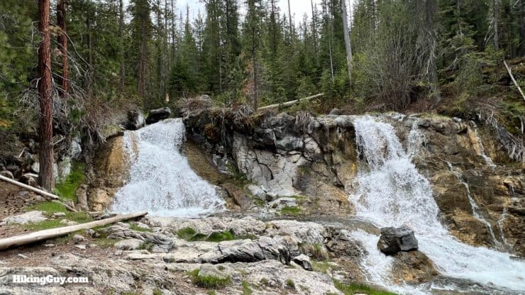
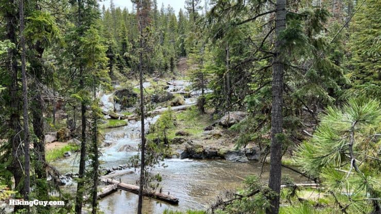
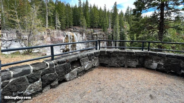
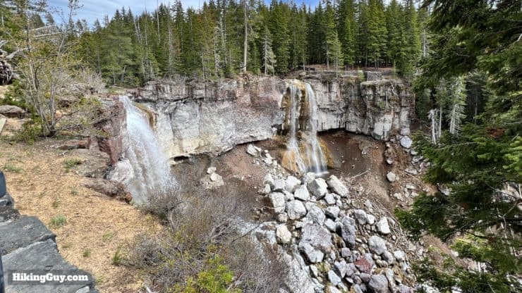
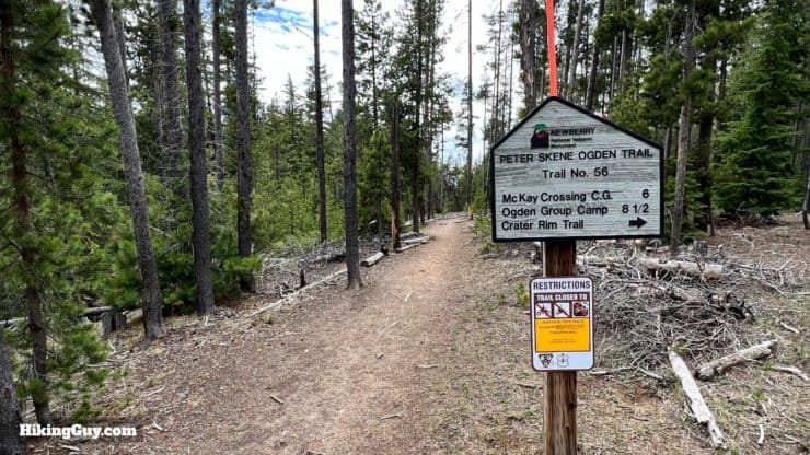
The Peter Skene Ogden Trail is a hidden gem. Although it is not widely known among the hiking community, it is designated a National Recreation Trail (NRT) because it "represents its region, supports a diverse community, and is among America's best trails," this hike is worth a visit. You'll hike along Paulina Creek, passing numerous waterfalls, and arrive at Newberry Volcano's caldera at the end. The volcano is the largest in the Cascades arc, still active, and a smidgen smaller than the size of Rhode Island. This hike has a lot going on!
- Video and Turn-by-Turn Directions
- Peter Skene Ogden Trail Parking & Trailheads
- Recommendations for the Hike
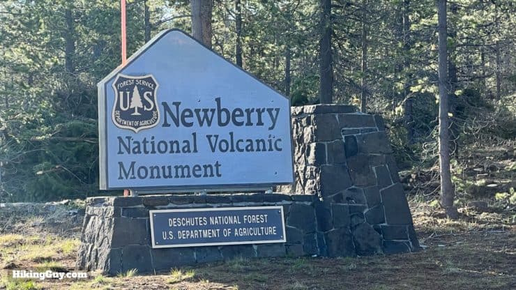
Where is the Peter Skene Ogden Trail?
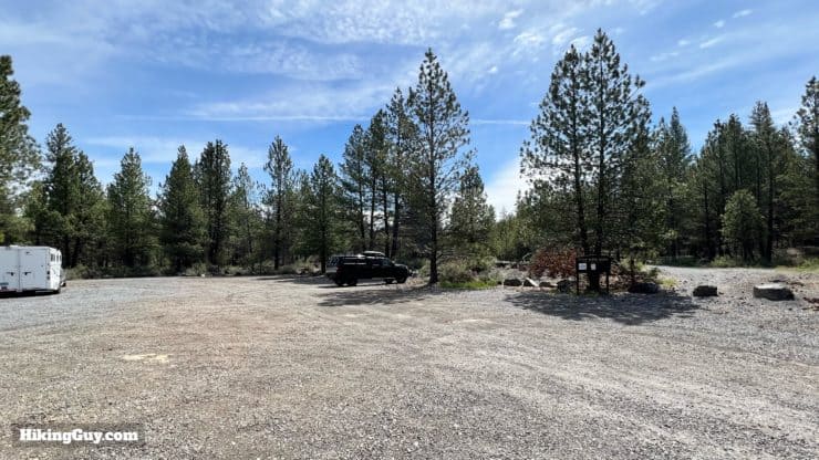
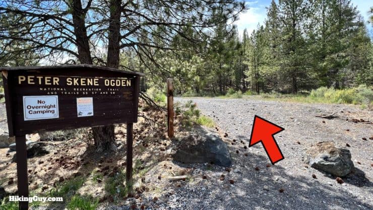
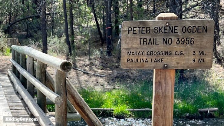
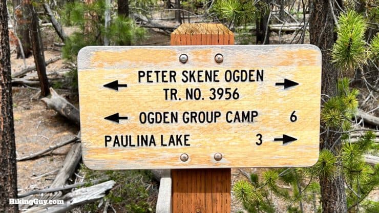
The official start of the trail is about an hour south of Bend, OR, and a short distance from La Pine, OR. Use this trailhead address:
Ogden Group Camp, Paulina-East Lake Rd, La Pine, OR 97739
You need a National Parks Pass or Northwest Forest Pass to park at any trailheads here.
Other Options
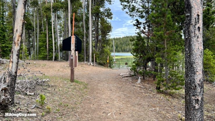
- If you'd like to do the shorter 12 mile round-trip hike, continue toward Newberry Crater and park at the McKay Crossing Campground.
- You can also do the hike described here in reverse. Park in the big lot by the boat launch at the Paulina Visitor Center.
Gear For the Hike
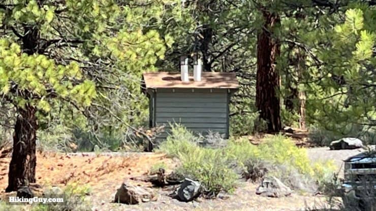
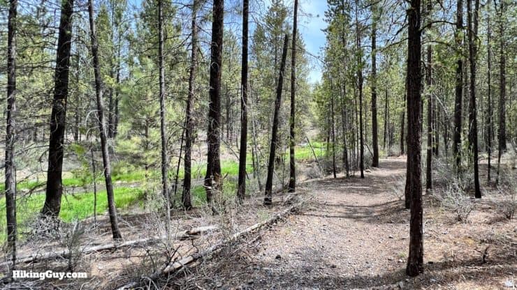
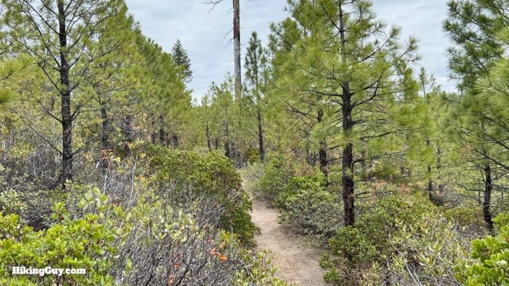
The trail is singletrack in excellent condition. However, it will become covered in snow in the winter but clear from May to November. If you are on a shoulder season, bring micro-spikes in case there's snow at the higher elevations. Facilities along the caldera are generally open from June to September.
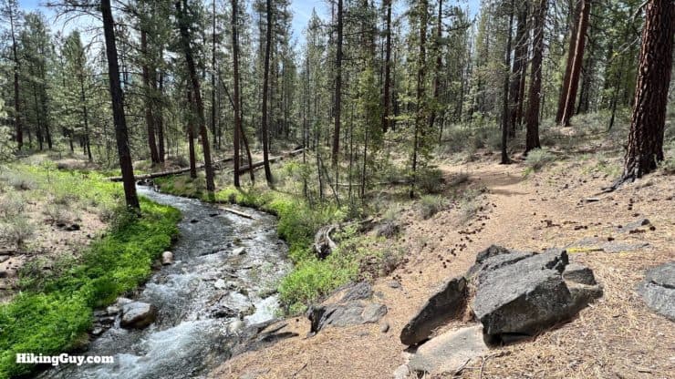
Otherwise, the hike is straightforward when it comes to gear. There's plenty of water along the creek; bring a filter. Most of the hike is shaded by lodgepole and Ponderosa pines. Make sure you have enough snacks and an extra layer or two.
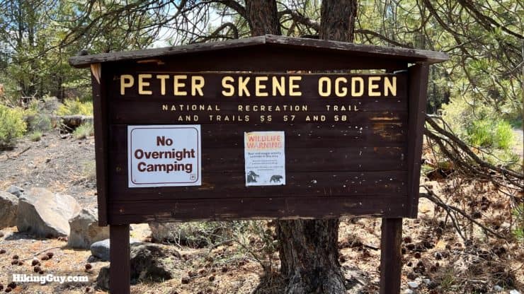
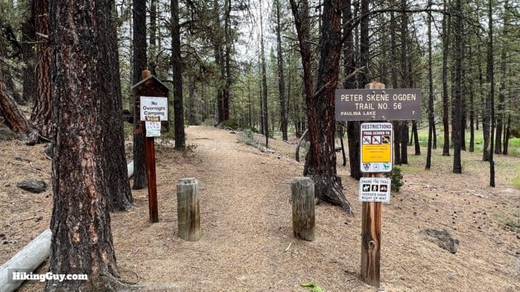
There is no overnight camping along the trail outside of designated campgrounds.
Gear That I Love Right Now
Nothing is sponsored or promoted, just the actual gear that I use.


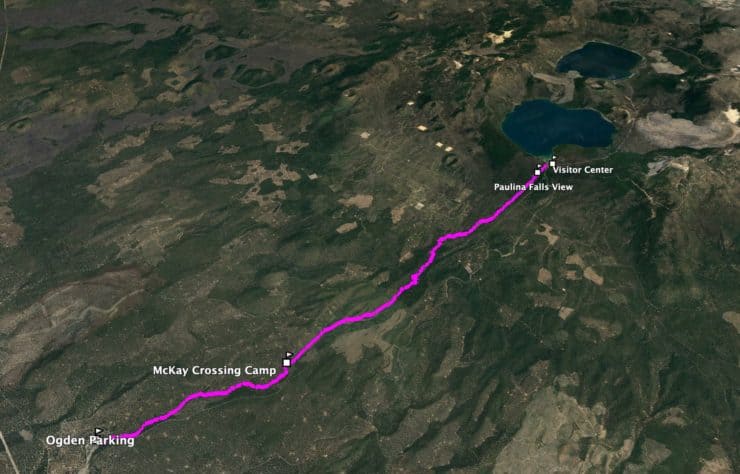
Peter Skene Ogden Trail Maps
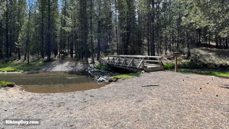
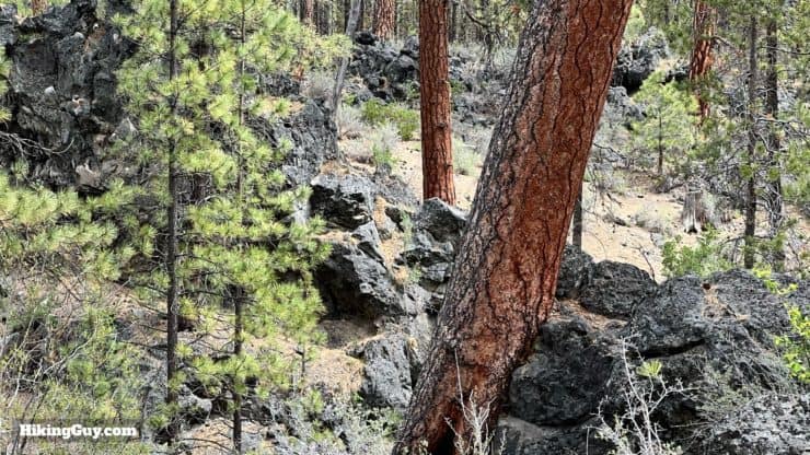
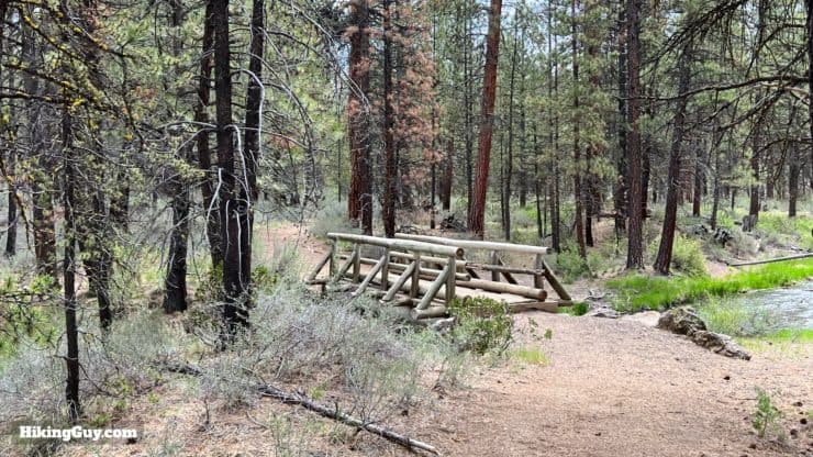
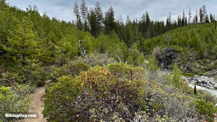
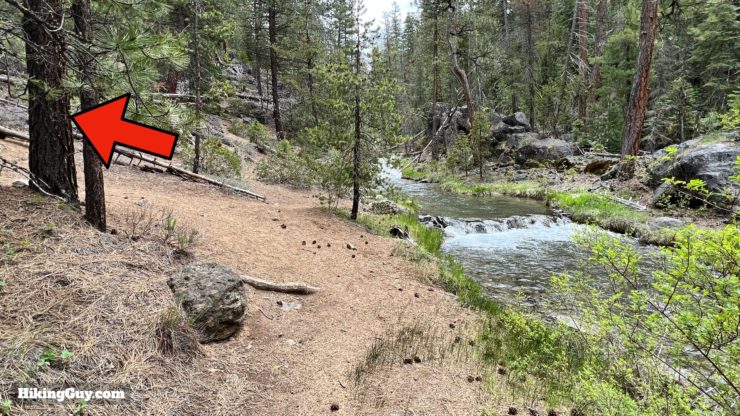
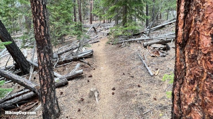
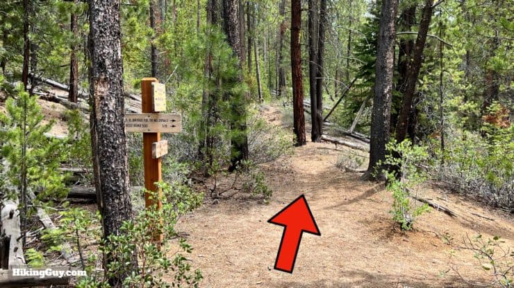
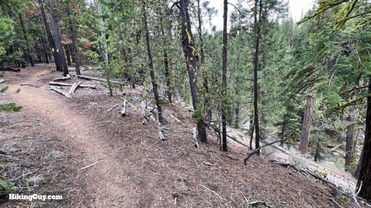
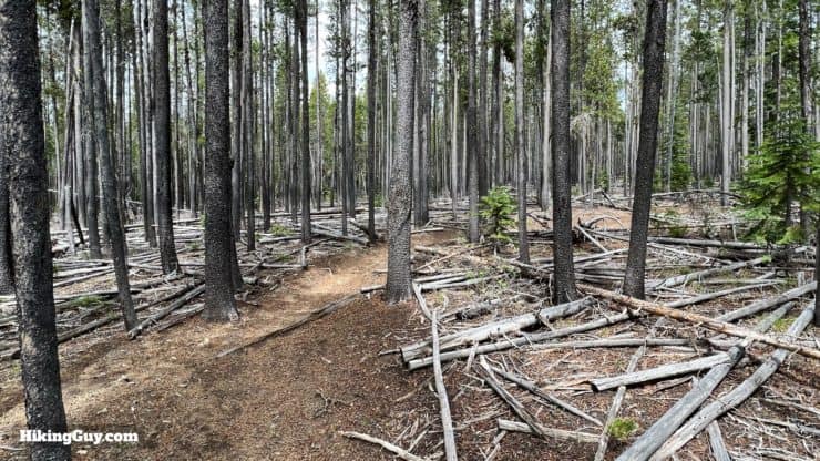
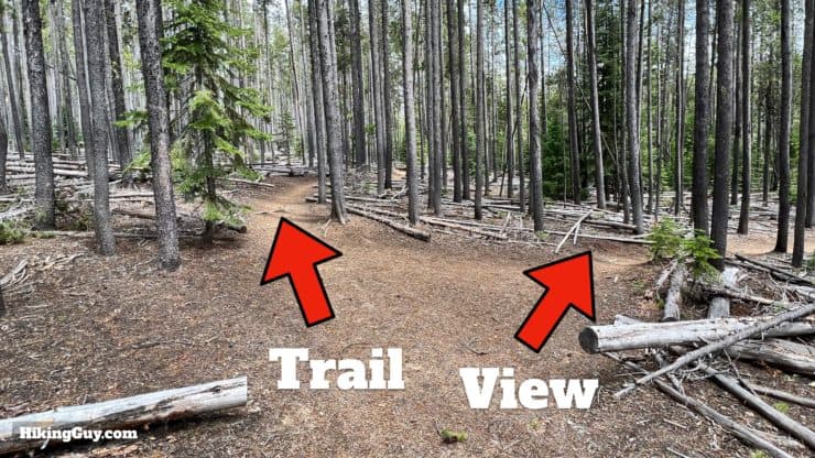
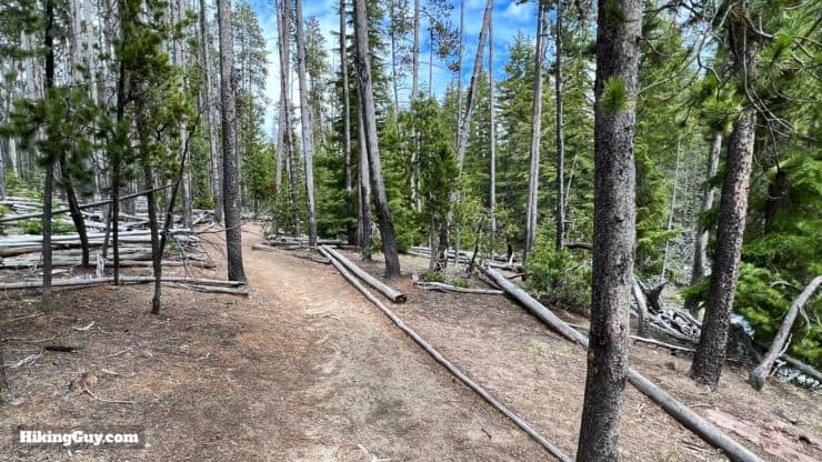
While there are a few tricky points I'll point out in the directions below, overall, it's a straightforward trail that follows Paulina Creek from start to finish. You'll see numerous side trails heading to the water, but the well-worn Peter Skene Ogden Trail is always easy to spot. The trail is shared with equestrians and mountain bikes, which are only allowed to ride uphill.
How Will You Navigate?
 Using the Apple Watch for Hiking
 Garmin Fenix 7 & Epix Review For Hikers
 How To Read a Topographic Map
 Garmin GPSMAP 67i Review
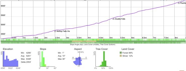
Elevation Profile
3D Map
Hike Brief
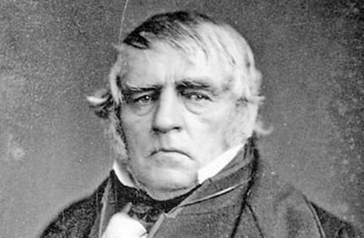
- Peter Skene Ogden worked for the Hudson Bay Company as a trapper, manager, and explorer. The amount of ground he covered in the 1820s is impressive: from Vancouver to the Great Salt Lake to the Sea of Cortez and back. At the time, this area was either part of the disputed fur trading area called "Oregon Country" or belonged to Mexico. But of course, this entire area belonged to Native Peoples, and Ogden had a bad reputation when it came to them, having at least one documented murder and more likely in his travels. Yet he also had several Native wives. It was a different time for sure, and I wouldn't be surprised if they changed the trail name at some point. You can still read the book he wrote about his times exploring.
- If this trail was named after a fur trapper, you could probably guess it's rich in wildlife. I've seen several mink along the trail, and if you keep your eyes open, you might spot deer, eagles, and other wildlife along the way.
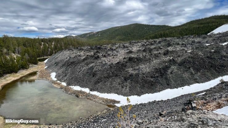
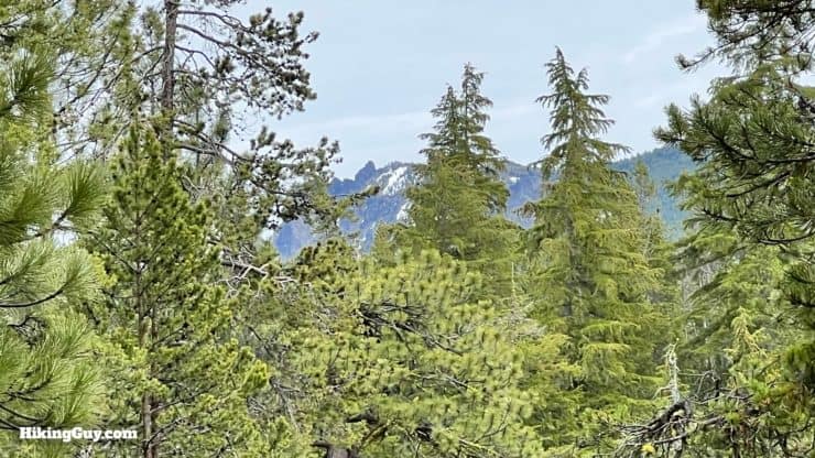
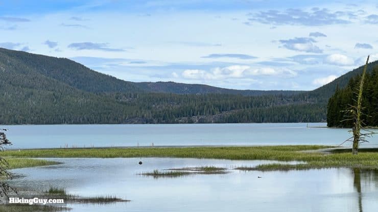
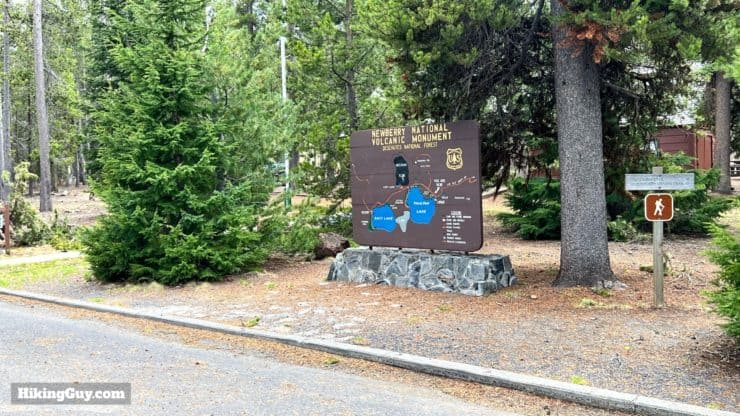
- Paulina Lake, at the end of this hike, is the caldera of Newberry Volcano and part of Newberry National Volcanic Monument. Unlike a "traditional" conical volcano like Mt Hood, Newberry Volcano is a shield volcano, which is much lower yet wider. The full size of Newberry Volcano is just a bit smaller than Rhode Island; it's the largest volcano in the Cascades volcanic arc. The USGS assesses its threat potential as "very high," and it last erupted about 1300 years ago. Today it's mainly known for its good fishing (it's stocked with trout and other fish).
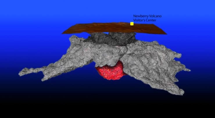
The magma chamber is about 3km under the caldera, and is still active. Earthquakes and tremors are relatively common here. Illustration - University of Oregon - The oldest dwelling in North America was found along the lakeshore in 1998. It's believed to be 10,000 years old and was preserved after being covered by an eruption 7,500 years ago, much like the discoveries at Pompeii. It's thought that the Windust hunter-gatherers used the dwelling. You can still find Windust-era blades and tools made out of obsidian from the Newberry Volcano in the area.
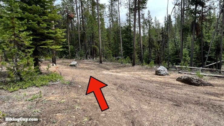
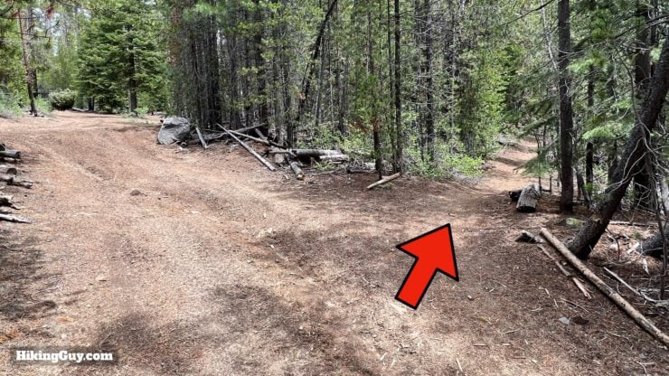
Peter Skene Ogden Hike Directions
Paulina Creek and Paulina Lake are named after the Northern Paiute chief Pahninee. His story follows the same tragic script of other Native peoples trying to defend their homeland.
Need More Info?
- Have a question about the guide or want to see what other people are saying/asking? View the Youtube comments for this video. Leave a comment and I will do my best to respond.
- When planning, always check the park website and social media to make sure the trails are open. Similarly, check the weather and road conditions.
Related Guides
 Hoh River Trail to Blue Glacier Hike Guide
 Timberline Trail Guide (Mt Hood)
 Pacfiic Northwest Hikes
 Best Hikes in the World
Popular Guides
 Best Hiking Gear 2024
 Hiking Boots or Shoes: Do I Really Need Hiking Boots?
 When to Hit SOS on inReach
This Guide Was Written by Cris Hazzard

Hi, I'm Cris Hazzard, aka Hiking Guy, a professional outdoors guide, hiking expert, and author based in Southern California. I created this website to share all the great hikes I do with everyone else out there. This site is different because it gives detailed directions that even the beginning hiker can follow. I also share what hiking gear works and doesn't so you don't waste money. I don't do sponsored or promoted content; I share only the gear recommendations, hikes, and tips that I would with my family and friends. If you like the website and YouTube channel, please support these free guides (I couldn't do it without folks like you!). You can stay up to date with my new guides by following me on YouTube, Instagram, or by subscribing to my monthly newsletter.