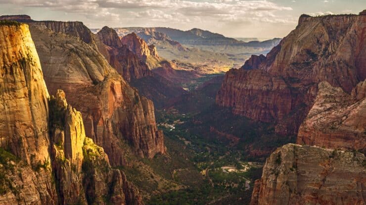

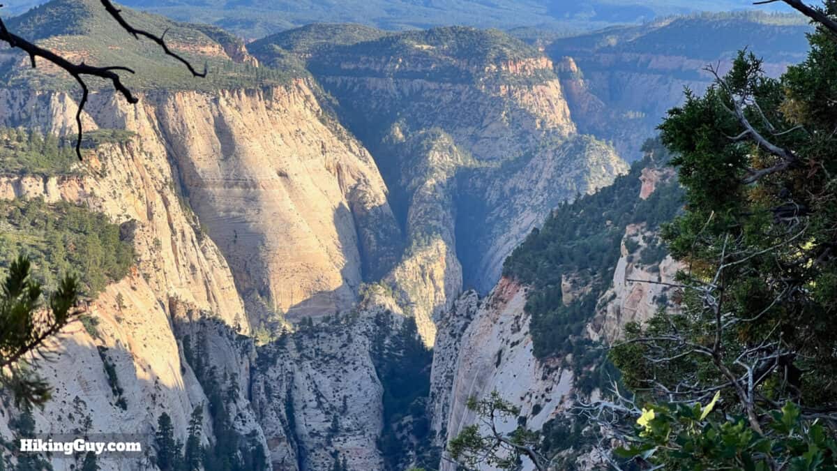
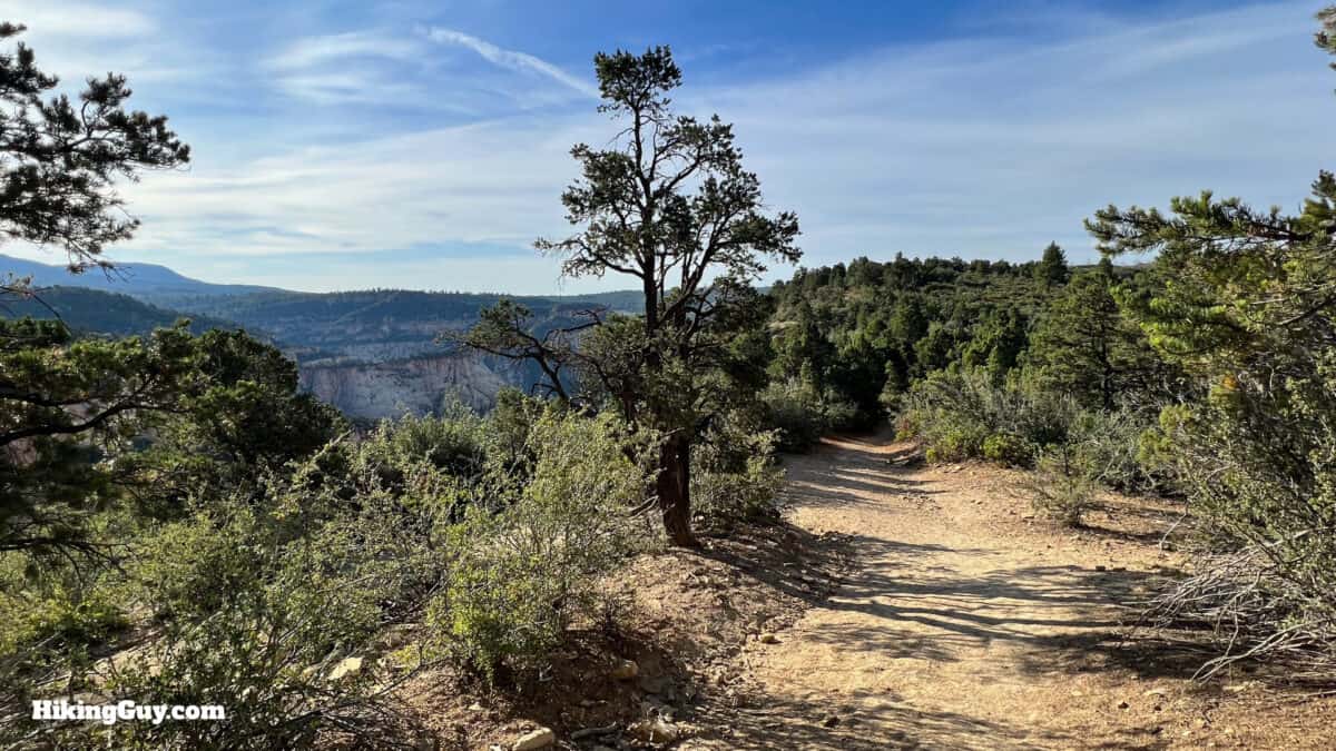
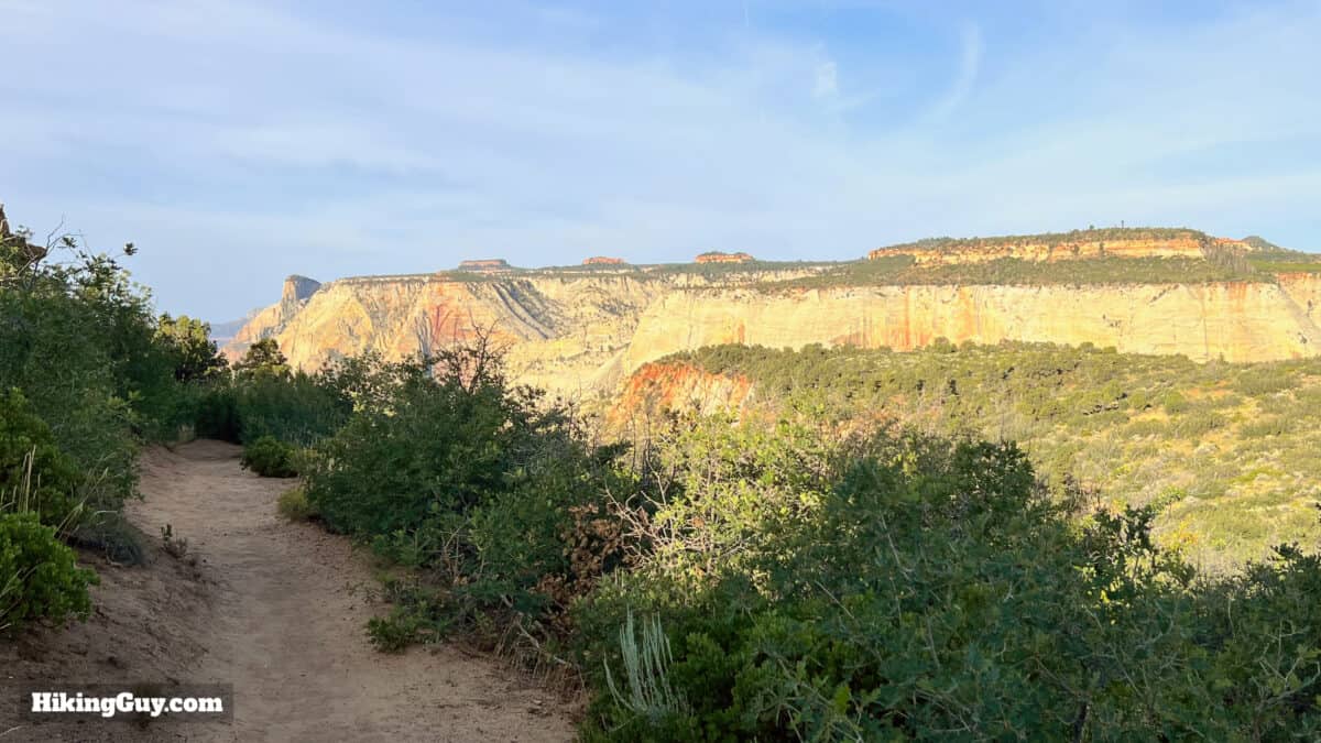
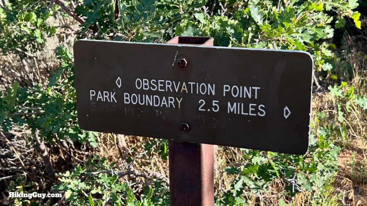
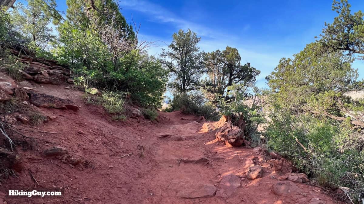
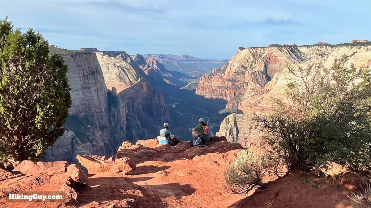
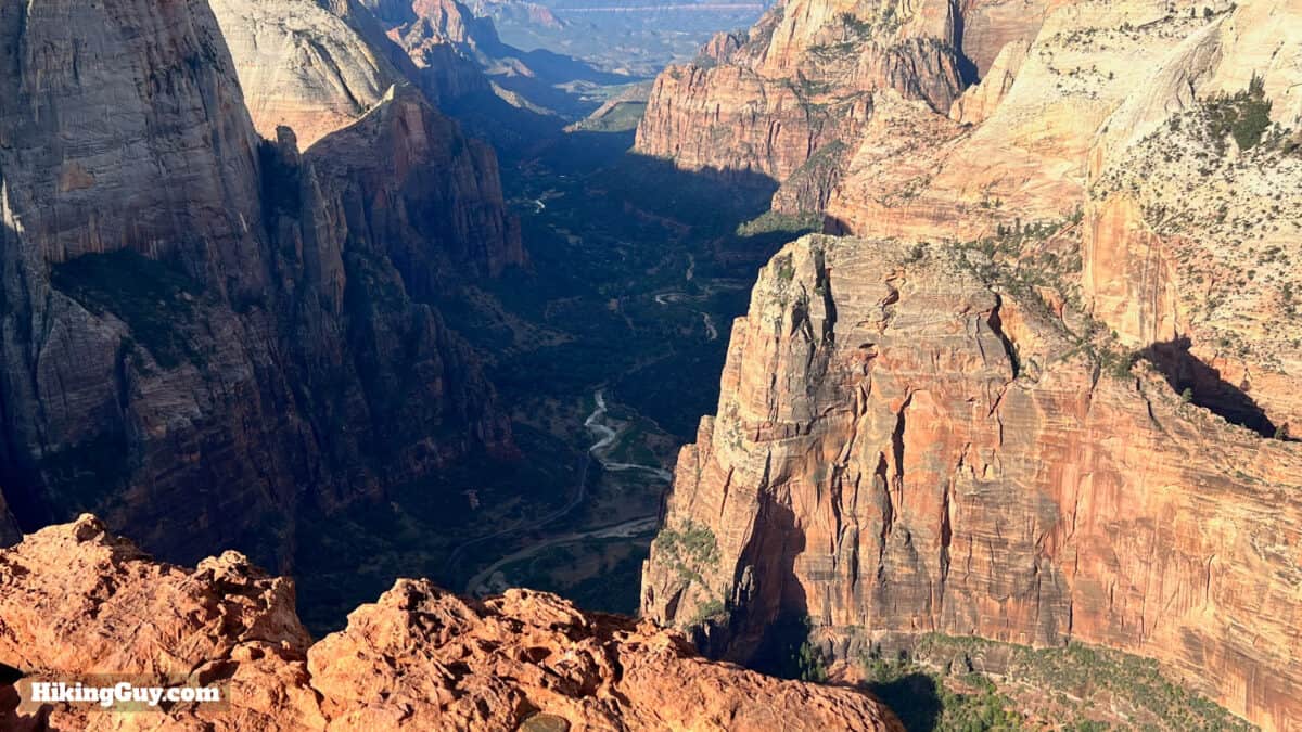
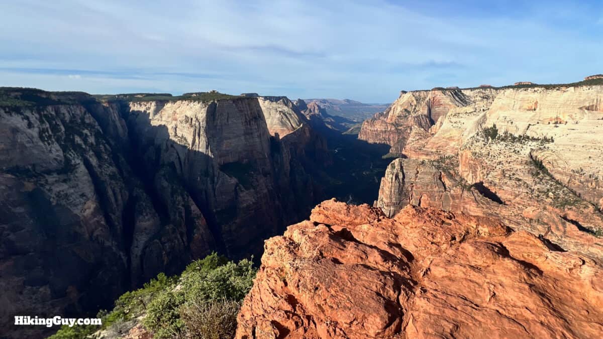
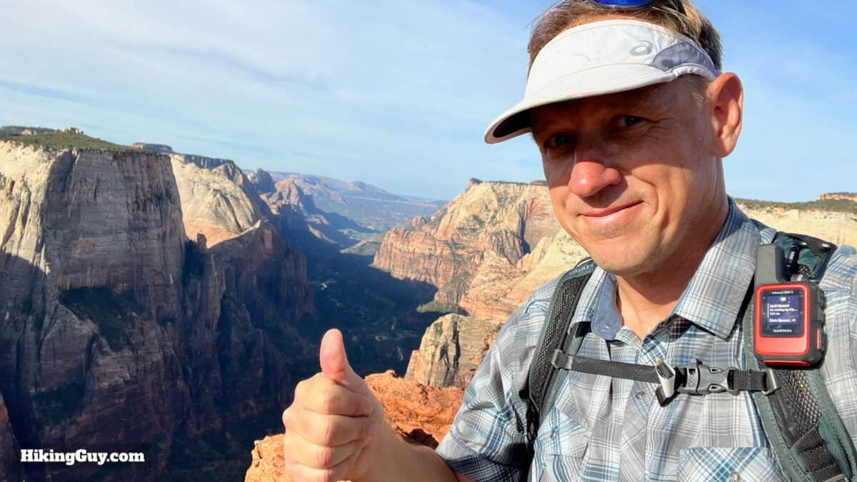
Observation Point offers marquee views of Zion Canyon, similar to what you might see from the rim of the Grand Canyon. And most people find this hike from the East Mesa Trail relatively easy and doable. The hike is in the east section of the park, away from the crowds. It's calm and relatively peaceful, meandering through pines and firs on the way to Observation Point. Parking can be challenging, but you also have a shuttle bus option; I'll explain it in the guide.
- Video and Turn-by-Turn Directions for Observation Point From The East Mesa Trail
- Parking for the East Mesa Trail
- Insider Tips & Recommendations
Where is the East Mesa Trail?
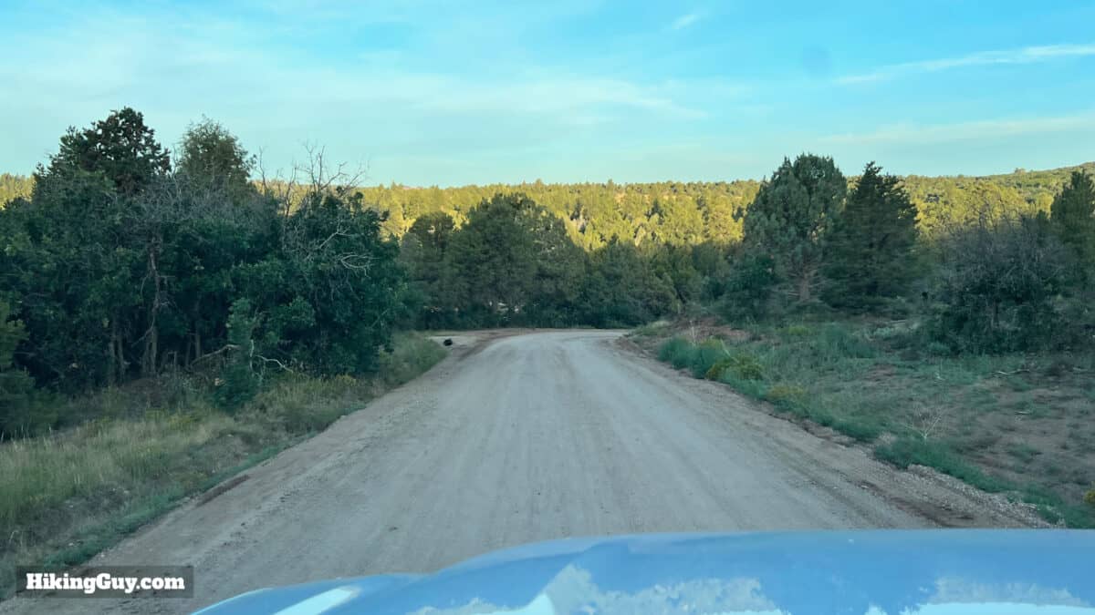
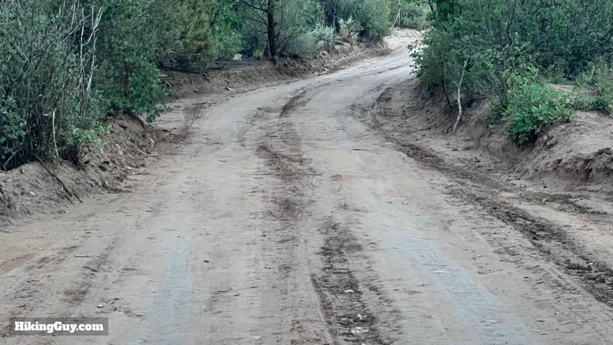
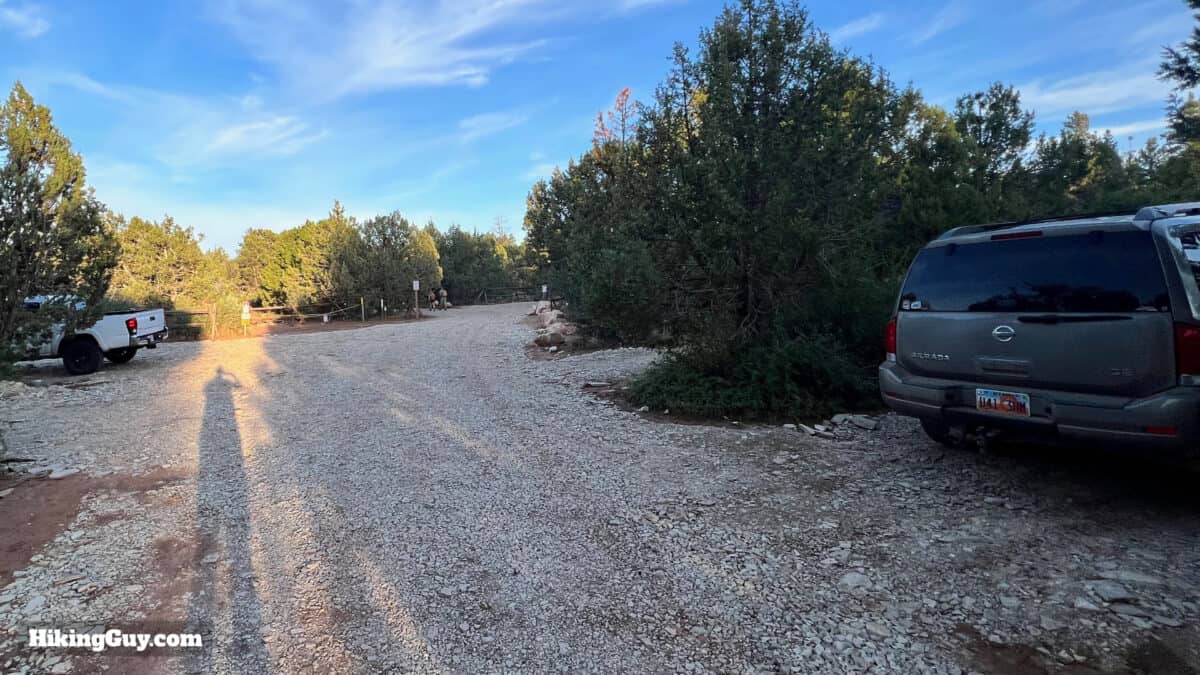
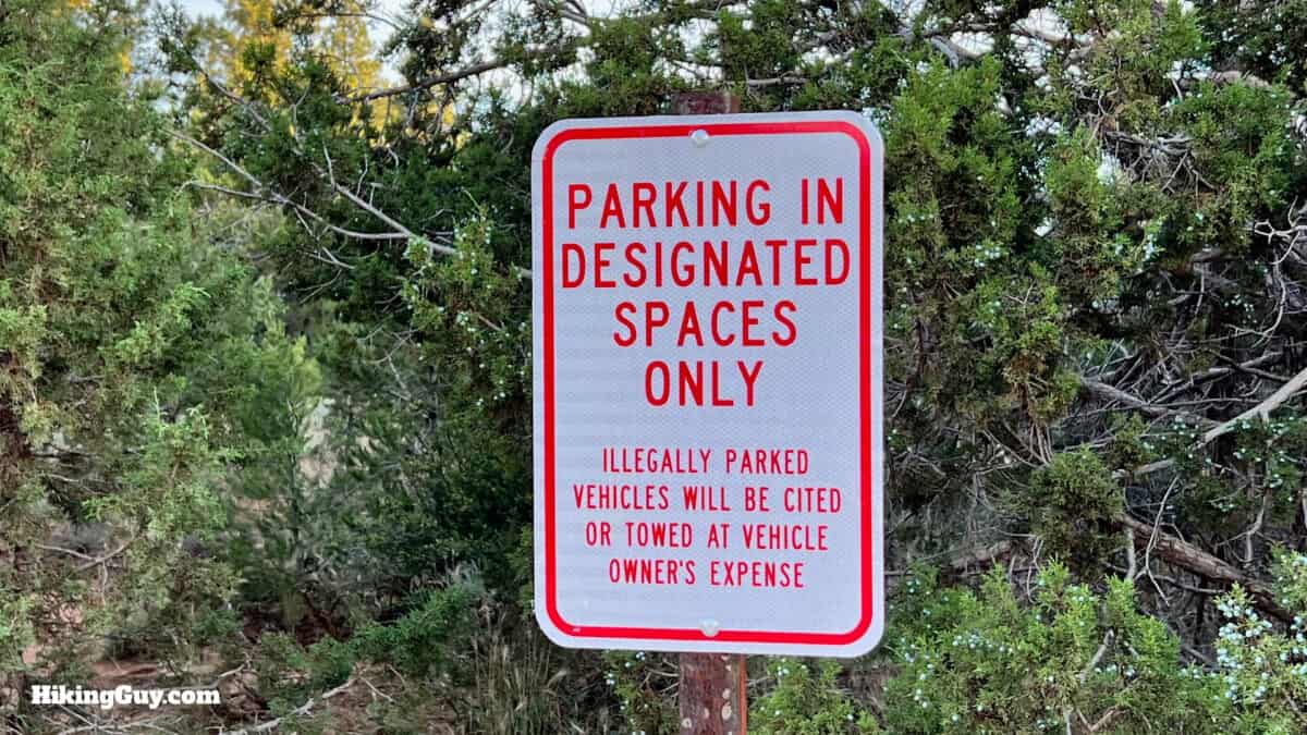
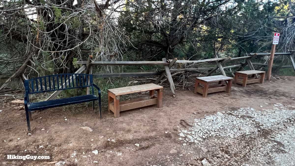
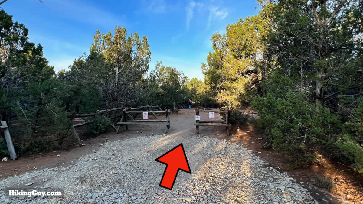
Getting to the trailhead is the hardest part of the hike. First off, the trailhead is located outside the park's east entrance, so you'll have to drive about an hour from the Visitor Center to reach it. Next, the trailhead is down a section of dirt road. The dirt portion is usually passable; I've often seen low-clearance cars at the parking lot. If it's raining or snowy, though, you'll probably want to give the drive a skip unless you have 4x4. The main problem is that there are only 15 parking spots at the trailhead, and the area surrounding the trailhead is all private with a strict no-parking policy.
The trailhead address is:
E Mesa Trail, Springdale, UT 84767
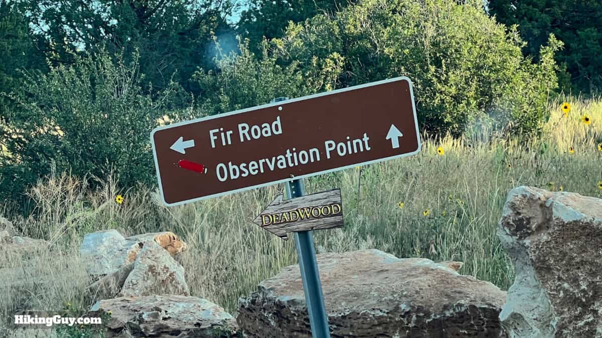
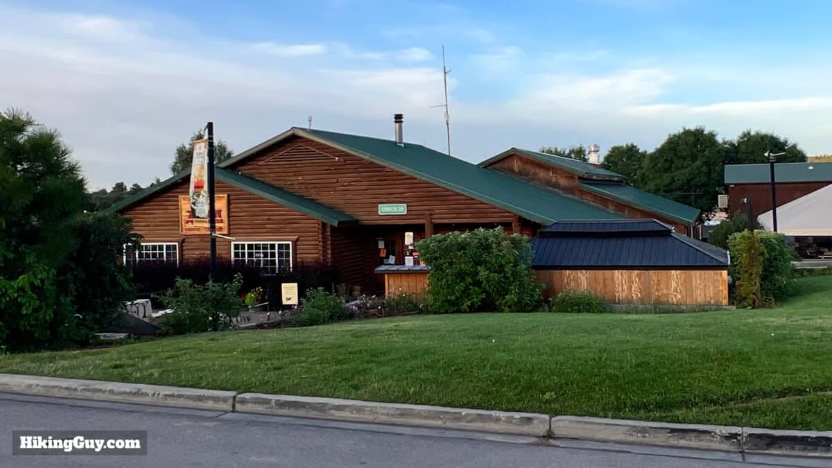
On the way to the trailhead, you'll pass the Zion Ponderosa. This resort sometimes has a "stop: no hiker parking" sign just past the resort on the road to the trailhead to discourage hikers from driving to a full parking lot. It's not an official no trespassing sign; it's more of a way to avoid parking problems. If you are leaving early, you can safely ignore the warning. If you drive to the trailhead and the lot is full, drive back to the Ponderosa and take a shuttle.
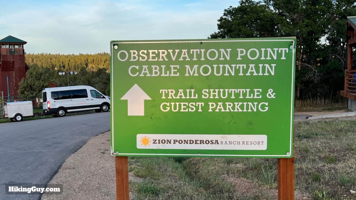
Observation Point Hiker Shuttle
If you arrive at the trailhead for sunrise, you should be okay to get a parking spot. After that, it's a roll of the dice. Luckily the nearby Zion Ponderosa Ranch Resort (hotel/motel/glamping) offers an affordable shuttle bus to and from the trailhead. They also provide a shuttle to the nearby Cable Mountain hike. Visit the website or call them for details.
Gear For the Hike
Although on the longer side for most beginners, there's nothing too tricky or technical about this hike. You can wear light hiking gear or fitness clothing here. Bring at least 1L of water for the hike. In the warmer months there can be pesky insects.
Gear That I Love Right Now
Nothing is sponsored or promoted, just the actual gear that I use.


Observation Point Trail Maps
How Will You Navigate?
 Using the Apple Watch for Hiking
 Garmin Fenix 7 & Epix Review For Hikers
 How To Read a Topographic Map
 Garmin GPSMAP 67i Review
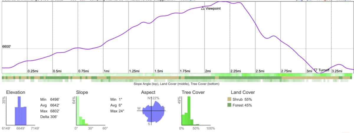
Elevation Profile
3D Map
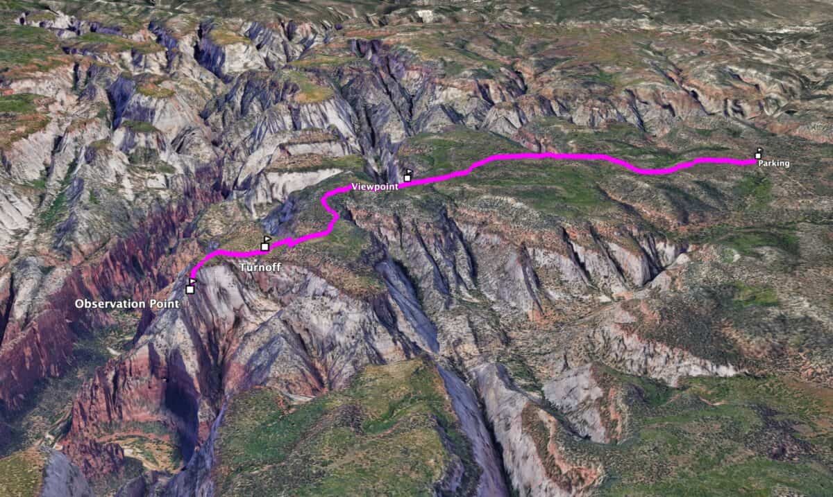
Observation Point from Zion Canyon
Before August of 2019, it was possible to hike to Observation Point from Zion Canyon using the lower East Mesa / Weeping Rock Trail. Unfortunately, a massive rockfall (caught on video below), dumped 435,712 cubic feet of debris over that lower trail. A geological survey suggested more activity in the area, and the trail has been closed indefinitely. Today the easiest way to reach Observation Point is using the route described here.
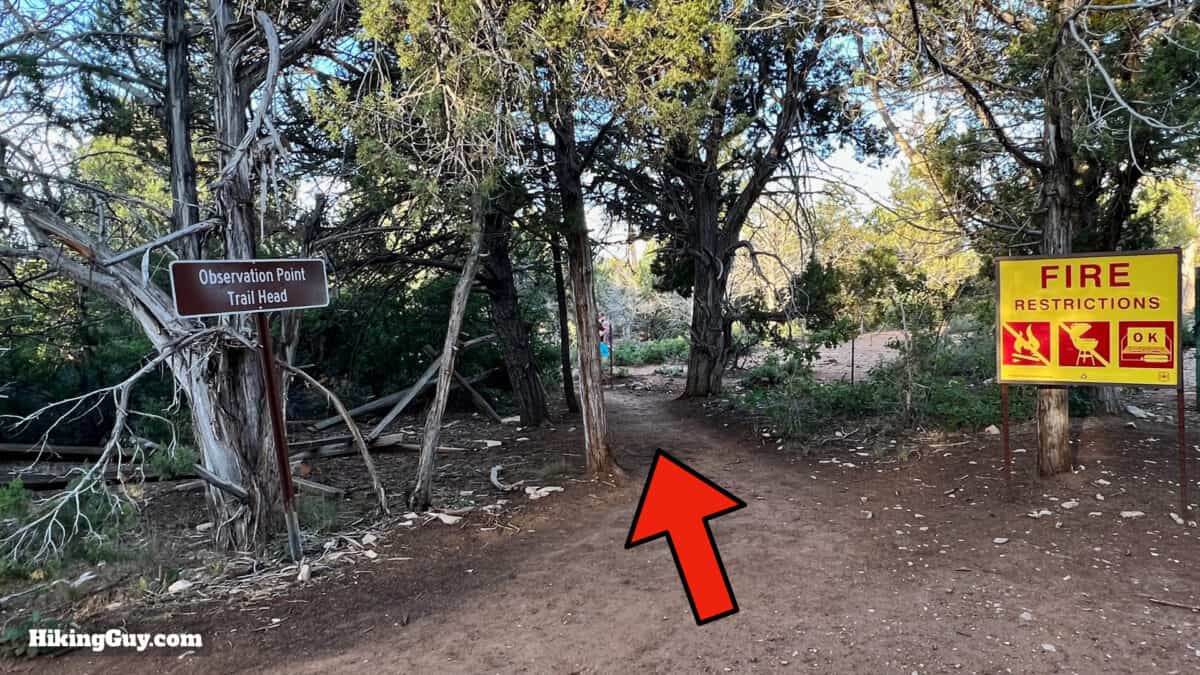
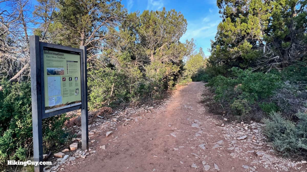
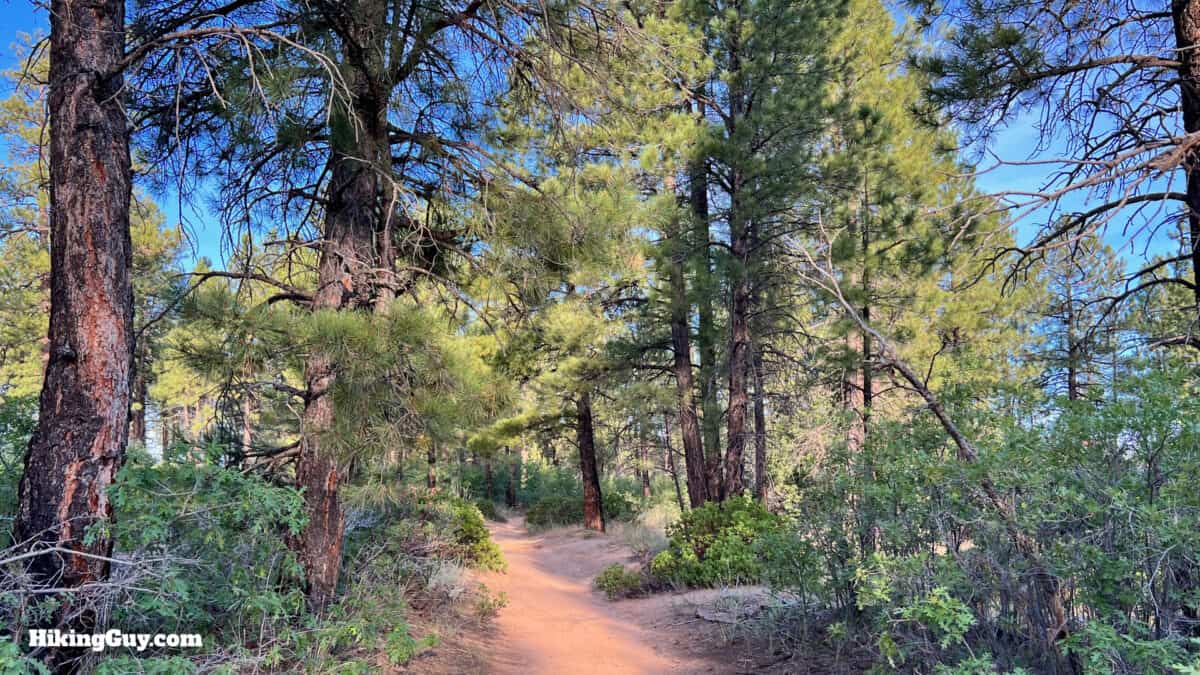
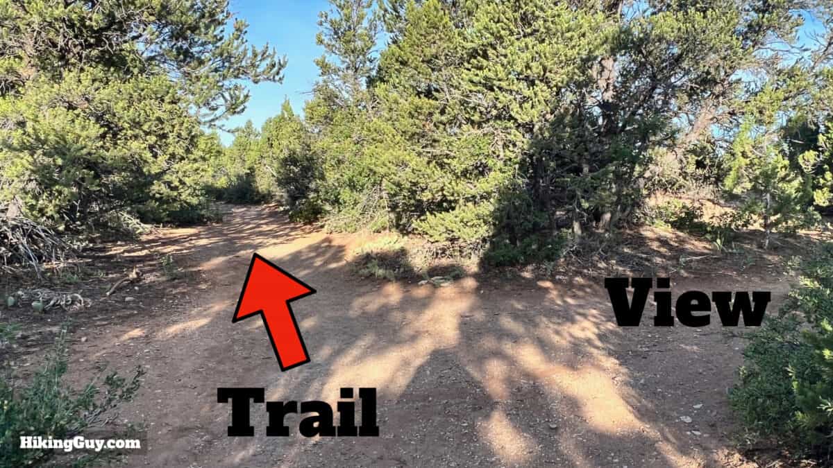
Observation Point Hike Directions
Need More Info?
- Have a question about the guide or want to see what other people are saying/asking? View the Youtube comments for this video. Leave a comment and I will do my best to respond.
- When planning, always check the park website and social media to make sure the trails are open. Similarly, check the weather and road conditions.
Related Guides
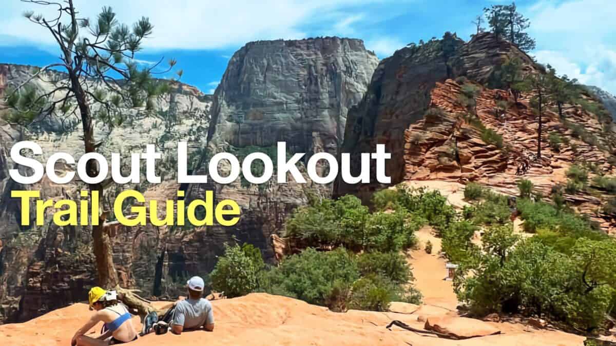 Hike Scout Lookout (Zion)
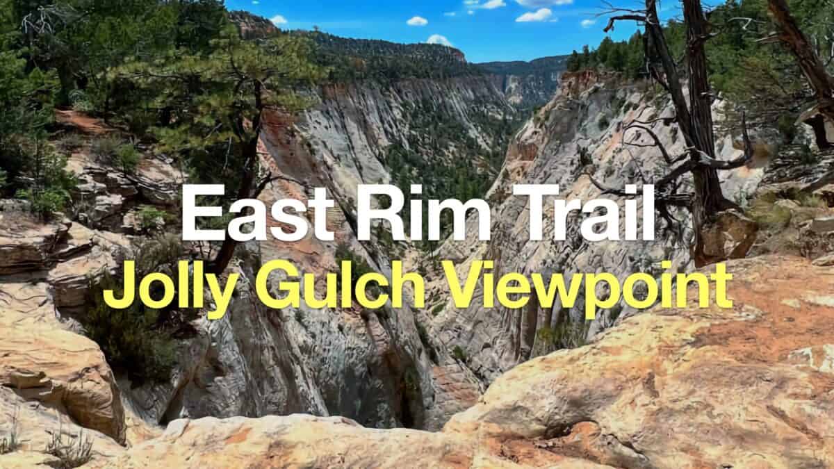 East Rim Trail to Jolley Gulch Viewpoint (Zion)
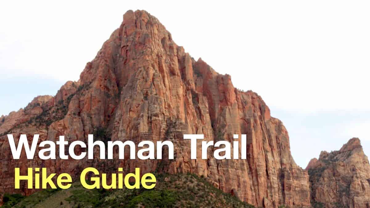 Watchman Trail (Zion) Hike Guide
 Canyon Overlook Trail (Zion)
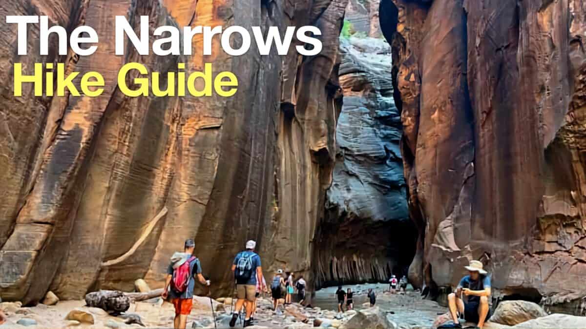 Hike the Narrows (Zion) to Wall Street
 Zion National Park
Popular Guides
 Best Hiking Gear 2024
 Hiking Boots or Shoes: Do I Really Need Hiking Boots?
 When to Hit SOS on inReach
This Guide Was Written by Cris Hazzard

Hi, I'm Cris Hazzard, aka Hiking Guy, a professional outdoors guide, hiking expert, and author based in Southern California. I created this website to share all the great hikes I do with everyone else out there. This site is different because it gives detailed directions that even the beginning hiker can follow. I also share what hiking gear works and doesn't so you don't waste money. I don't do sponsored or promoted content; I share only the gear recommendations, hikes, and tips that I would with my family and friends. If you like the website and YouTube channel, please support these free guides (I couldn't do it without folks like you!). You can stay up to date with my new guides by following me on YouTube, Instagram, or by subscribing to my monthly newsletter.