Garmin inReach Tips & Tricks
Most Garmin inReach users only use the basics, but there’s so much more these devices can do. After years of trail time with the inReach Mini, GPSMAP 67i, and others, I’ve collected practical tips to help you message smarter, stay safer, and avoid common mistakes. Whether you're new to inReach or want to get more from your device, this guide covers what the manual doesn’t.
Messaging & Tracking
- Include your location with all your messages. Go to the Garmin Explore website and enable "Include a link to an online map with the location of my message" and recipients will get a map every time you send a message. It doesn't cost anything extra. You can do the same thing for your unlimited check-in messages by toggling MapShare on when specifying recipients.
- Send messages with your voice. Newer inReach models like the Messenger Plus let you record voice messages in the Messenger app. But there's a hack that works on any inReach paired with iPhone or Android, enable voice to text. Then, in the Messenger app, tap the microphone icon on your keyboard, speak your message, and send, no typing needed.
- Get your messages unstuck. Your inReach will try to get your location before sending a message. If you've been navigating or location sharing with your device, it's already doing this, but if not, it can hiccup here. If my messaging isn't going out I've found that going into my navigation functionality, dropping a waypoint (gets a gpx fix), then sending the message usually does the trick. Also note that the send priority for messages is SOS, most recent message, then track points.
- If your message isn't getting through, it could be them, not you. VOIP numbers, such as Google Voice, do not work if they are setup as virtual numbers. Some countries like Mexico, Romania and Saudi Arabia have restrictions. Check with this Garmin page for the latest on which countries might have issues.. You should also check inReach System status to make sure the service is up and running before you head out. Send a test message to [email protected] to make sure you are able to send on your end, you will get an automatic reply if it's working correctly.
- Know when you get a message. I don’t get a lot of messages on my inReach, and if I do, it’s usually important. In my settings, I enable “ring until read,” which keeps beeping on the device until I read the new message. When sending a message, the device will continue to listen for replies for 10 minutes. After that, it will check for new messages every hour. If you’re waiting for a message back, do a manual mail check after 10 minutes.
- Send inReach to inReach. Want to send messages to another inReach device when you're out in the field? Have everyone share their inReach address beforehand and add it to your contacts. You can find it on the Garmin Explore website as "inReach Addr" under your account. It’s in an email format. Also note that inReach to inReach counts as a message.
- Group messaging not working? You can only send group messages to phone numbers (not emails) through the Garmin Messenger app. All recipients must be using the Messenger app with a registered cellular number for it to work. Group messaging doesn’t support email addresses or inReach addresses.
- Battery draining quickly? Make sure you turn your device off when indoors. Even if you have the Messenger app, which will try to use cellular or Wi-Fi to send a message, most inReach devices don’t have the smarts to know that, they’ll keep checking for messages over satellite. I learned this one the hard way.
- Want to make it easy for friends and family to message you? Your inReach device doesn’t have a permanent phone number, and it can change. In Garmin Explore, enable MapShare (you can password-protect it if you want). Then turn on “Allow map viewers to send you messages.” Share your MapShare URL with the right people. I add mine to my contact card to make it easy. Just remember: your device needs to be on to receive the message.
Tracking & Weather
- Have a plan with unlimited tracking? On most devices, you can automatically start tracking when you power it on. Go to settings and enable Auto Track. Your device needs to get a GPS fix, so I power mine on as soon as I get to the trailhead and let is sit it on the roof of my car. Location tracking can be an invaluable safety tool if you experience something catastrophic like a heart attack or stroke, rescuers can follow the breadcrumb trail to where you are. Tell your family they can report you missing as soon as they know you're missing. They don't have to wait 24 or 48 hours like on TV.
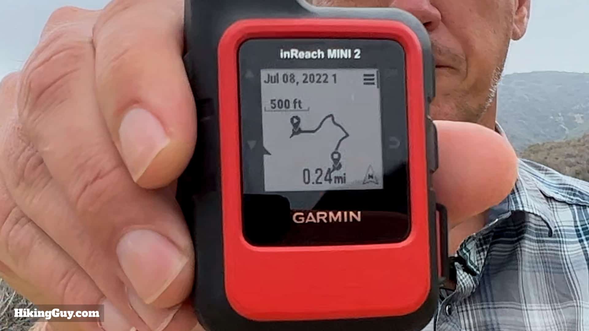
- Tracking can be confusing. inReach has two types of tracking: internal (used to track an activity and for breadcrumb TrackBack) and satellite tracking to your MapShare page. They’re both called “tracking,” which adds to the confusion. In your settings, Send Interval controls how often your location is sent over satellite, while Activity Detail or Log Interval controls internal recording on the device. Internal tracking is what powers the breadcrumb trail used by TrackBack. I keep mine set to high detail so I have the most accurate path back in case I need it during an emergency.
- Satellite Required for Tracking. Unlike messaging in the Garmin Messenger app, which can fall back to Wi-Fi or cellular when available, tracking always uses the Iridium satellite network, even if your phone is connected to the internet.
- Check the weather ahead. You’re not limited to weather at your current location on most inReach devices. You can request a weather forecast for any point on your route. Look for "change location" or "add location" under weather and put the new spot in. It’s especially useful on multi-day or high-elevation trips where weather can shift fast. I use it to check conditions over mountain passes, at campsites, or near potential bailout points.
- Always leave your device on when moving. It might be tempting to turn it off to save battery when you're not actively sending messages, but if something catastrophic happens, rescuers have no way to ping your device if it’s off. When it’s on, it will continue checking for new messages every hour and updating your location. If you stop for the night and plan to turn it off, send a check-in first so there's a clear record of your last known location.
SOS & Emergencies
- Not just for backcountry emergencies. If you're paying for a subscription, bring your inReach in your everyday carry bag. According to Garmin, vehicle issues are one of the top reasons people trigger SOS. If you're driving out of cell range and get a flat, you can use it to get a tow or call for help. It's a solid tool for remote travel — not just hiking.
- You can save someone else’s life. If you come across someone on the trail who needs help, you can use your inReach to call for assistance, just like dialing 911 to report an emergency that doesn’t involve you. Make sure you clearly tell Garmin Response that the SOS is for someone else. Most places have Good Samaritan laws that protect you from liability when acting in good faith. Just keep in mind that if you have rescue insurance, it only covers you, not the person you’re helping.
- 911 is often a better option. If you’re in a spot with cell coverage, try calling 911 before using your Garmin inReach. Even if your phone says “Emergency Calls Only,” it may connect through a different carrier and 911 calls will still go through. Voice is almost always faster and clearer than typing messages over satellite. Go into your phone settings and enable location and medical info sharing with emergency services on Android or iPhone. Anything you’ve added to your medical info, like conditions or medications, will be sent automatically to 911 personnel.
- Hit SOS when you're unsure of a safe outcome. Triggering SOS doesn’t always mean a helicopter ride. Maybe you're lost and need help self-evacuating. Maybe you see a wildfire and aren’t sure if you’re in danger. Maybe that chest pain needs to be looked at by a professional. Garmin Response will evaluate your situation and help determine the appropriate response. Don’t press SOS just because you’re tired or don’t feel like finishing your hike, but if you need help, ask for it. If an evacuation is needed, you could be told to stay put, move to a better location, or even self-evacuate. Always carry the essentials to spend the night, just in case.
- inReach works on 100% of the globe. That means you can use it out at sea, on Antartica, as long as you are on earth, you are covered.
- Garmin rescue insurance might not be your best option. Most rescues are free, but even in places where they usually are, you could still get billed. Once you hit SOS, how the situation is handled is out of your control. For example, rescuers might decide that instead of a park helicopter, you need an air ambulance with medical personnel and equipment, and that can be north of $50,000. Garmin offers insurance, but the cost increases at higher altitudes and for high-risk activities. Some states offer a Hike Safe card that helps fund SAR and may protect you from being billed. You can also get an SOS subscription service like Overwatch & Rescue, which works like AAA for the outdoors, just send them the bill and they take care of it. Use code HIKEGUY15 for a discount.
Setup & Plans
- You don't have to buy a plan from Garmin. Garmin’s plans can be expensive, but there are Garmin-approved alternatives. Protegear offers flexible options, including pay-per-day plans. It’s not as seamless as Garmin’s native system, but it works. TrackMeNZ is another provider with alternative plans. If you just want SOS coverage, Garmin’s "Enabled" plan is the most affordable option. Need multiple devices for your organization or family? Look into Garmin’s professional plans. Renting might also make sense if you only need an inReach a few times a year, just search for “inReach rental” and you’ll find several options. Whatever route you choose, activate and test your account before heading out. You can’t do it over satellite, you need a data connection.
- Don't let a surprise app logout ruin your trip. Before you leave your house, log into the apps paired with your inReach and make sure everything is synced and updated. Sometimes an app update will log you out, and if you’re already off the grid, you won’t be able to log back in. You can still use your inReach without the apps, but you’ll lose access to features like messaging from your phone or route syncing.
- Offline maps for free. If your device pairs with the Garmin Explore app, you can download offline maps onto your phone — even if your inReach device doesn’t have maps (like the Mini 2). Just open the app when you're off the grid and you’ll be able to see your position on a map using your phone’s screen.
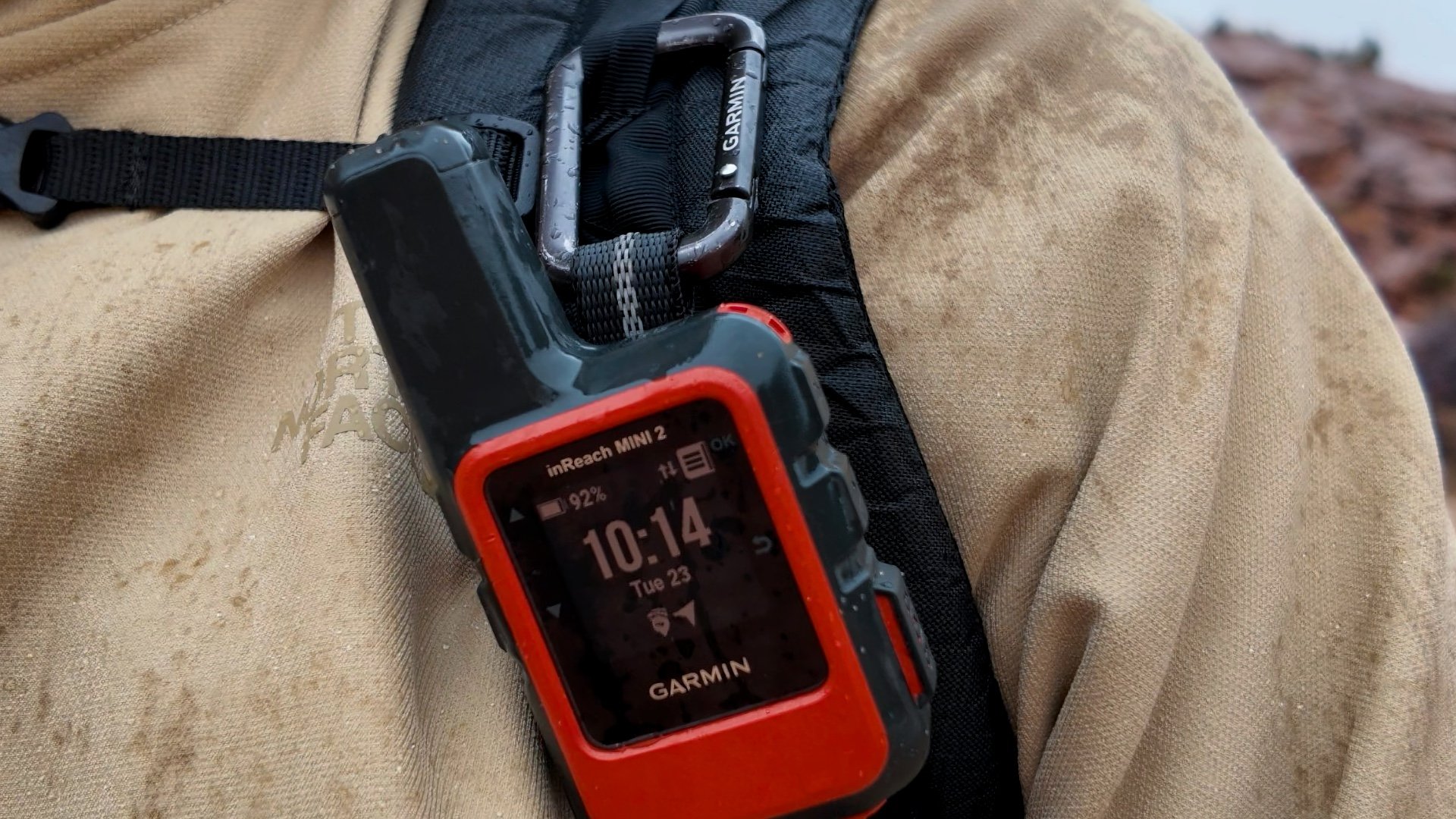
- Carry it correctly. If your inReach is in your pocket or buried in a bag, it’ll struggle to send and receive messages, and that drains the battery faster. The best setup is to clip it to your backpack strap using a carabiner, with the antenna pointing up toward the sky for the best signal.
- Remote control with your watch. Some inReach devices can pair with your Garmin smartwatch, letting you control the unit remotely, including sending check-ins, messages, starting tracking, or even triggering SOS. Watches like the Fenix 8 even give you a small keyboard so you can type out a message right from your wrist.
- Don’t end up in jail. It’s illegal to possess a satellite communicator like a Garmin inReach in some countries. Garmin keeps a list of restricted countries. In places like India, China, and parts of the Middle East, your device could be confiscated, or worse, you could end up in jail. Always check the rules before you travel internationally with your inReach. Here's where to avoid bringing your satellite communicator (thanks to Overwatch X Rescue):
- Afghanistan – Satellite devices are banned outright under Taliban rule.
- Bangladesh – Possession of satellite phones is illegal; travelers risk imprisonment.
- China – Strict ban without government authorization; importing or using devices is punishable by law.
- Cuba – Permit required from the Ministry of Informatics and Communications; unauthorized possession leads to severe penalties.
- India – Only Inmarsat devices are permitted with prior approval; unauthorized devices like Garmin inReach can result in detention.
- Libya – Legal status unclear post-2011; Thuraya devices explicitly banned, check with authorities.
- Myanmar – Complete ban remains in place; permits are rarely granted.
- North Korea – Absolute prohibition on satellite devices; all communications are state-monitored.
- Nigeria – Banned in Borno State; national status ambiguous though Starlink is available with subscription.
- Sudan – Most electronic devices, including satellite phones, are restricted and may be confiscated.
- South Sudan – Legal status unclear; travelers should consult the embassy before carrying satellite devices.
- Russia – Satellite phones are legal but require advance approval and SIM registration.
- Iran – Prior government permission is mandatory for any satellite device use.
- Egypt – Requires government authorization for operation.
- Sri Lanka – Partial restrictions apply; enforcement is unclear.
- Saudi Arabia – New registration procedures for satellite services introduced in 2022.