Amboy Crater Hike
Hike Stats
- Total Distance
- 3.7 miles
- Time
- 1:30-2 Hours
- Total Climbing
- 400 feet
- Difficulty
- Easy
- Crowds
- Moderate
- Dogs
- Leashed
- Gear
- What I Use
- Weather
- Latest Report
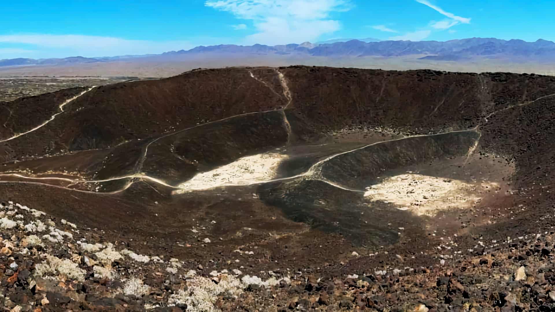
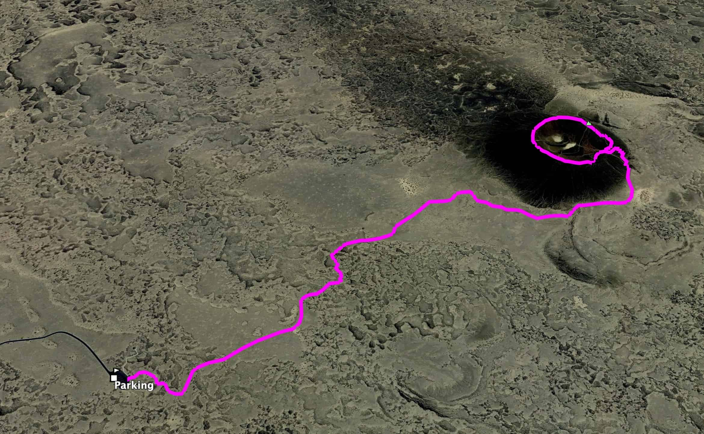
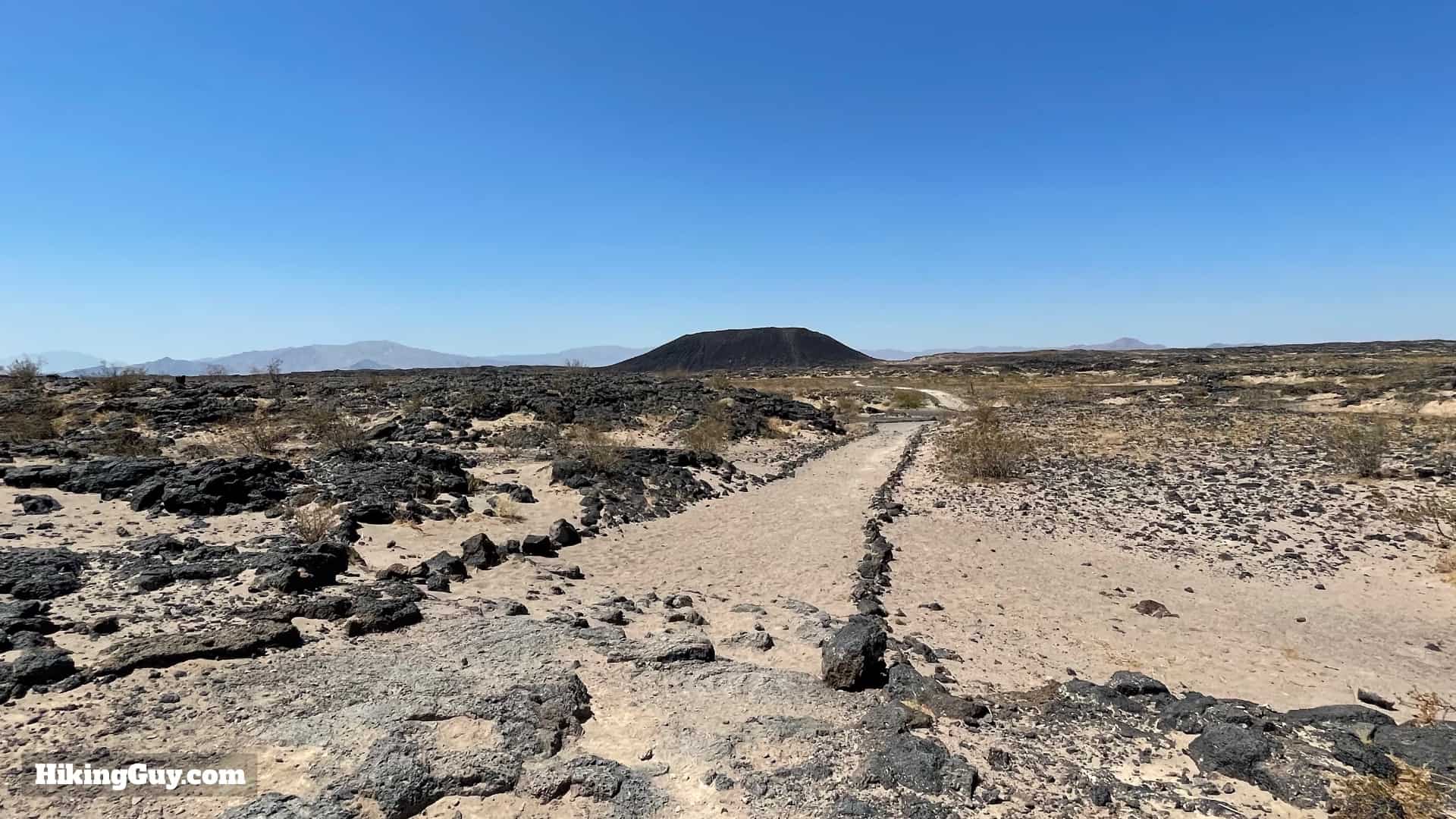
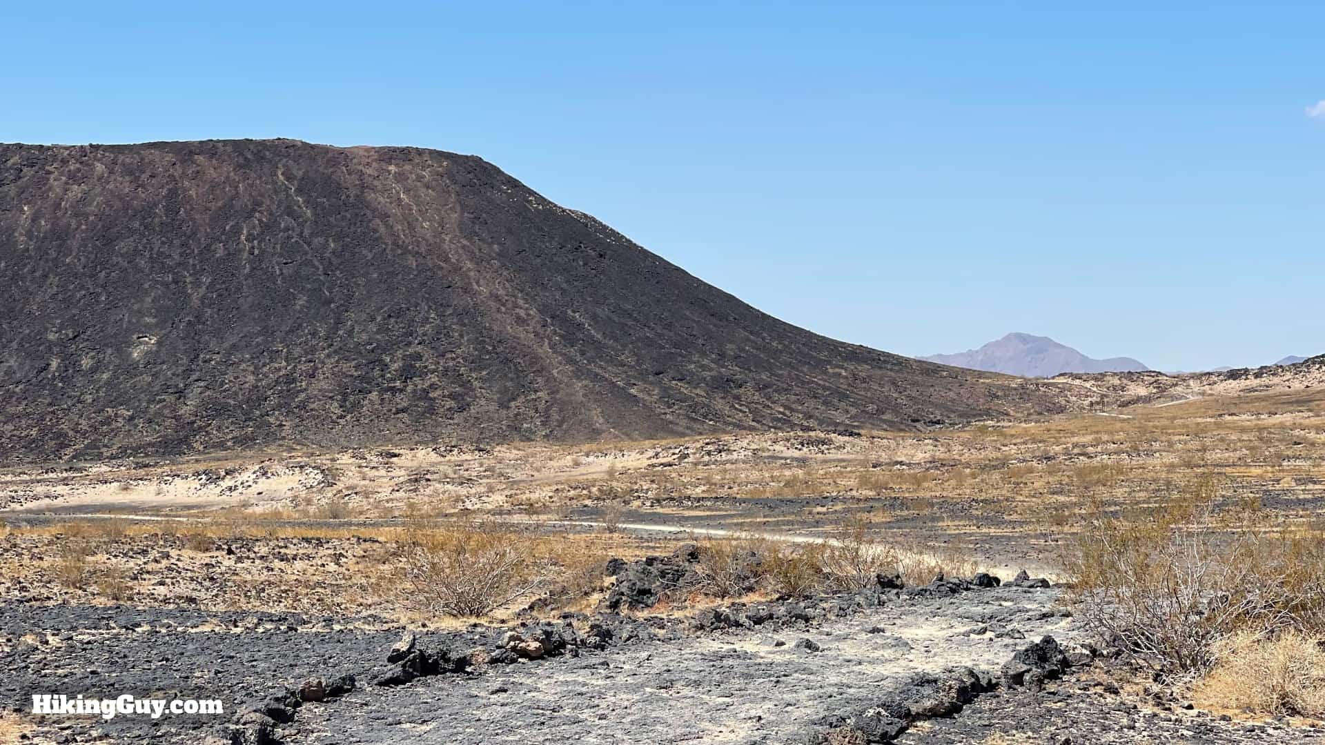
The Amboy Crater hike takes you across the Mojave Desert, onto an ancient lave field, and then up the 250 foot extinct Amboy cinder cone. It's a hike like no other, with wide-open views, tons of lava rocks, a circuit around the rim of the volcano, and all in a short 3-mile package right off of historic Route 66. I highly recommend making a stop to experience this fantastic hike.
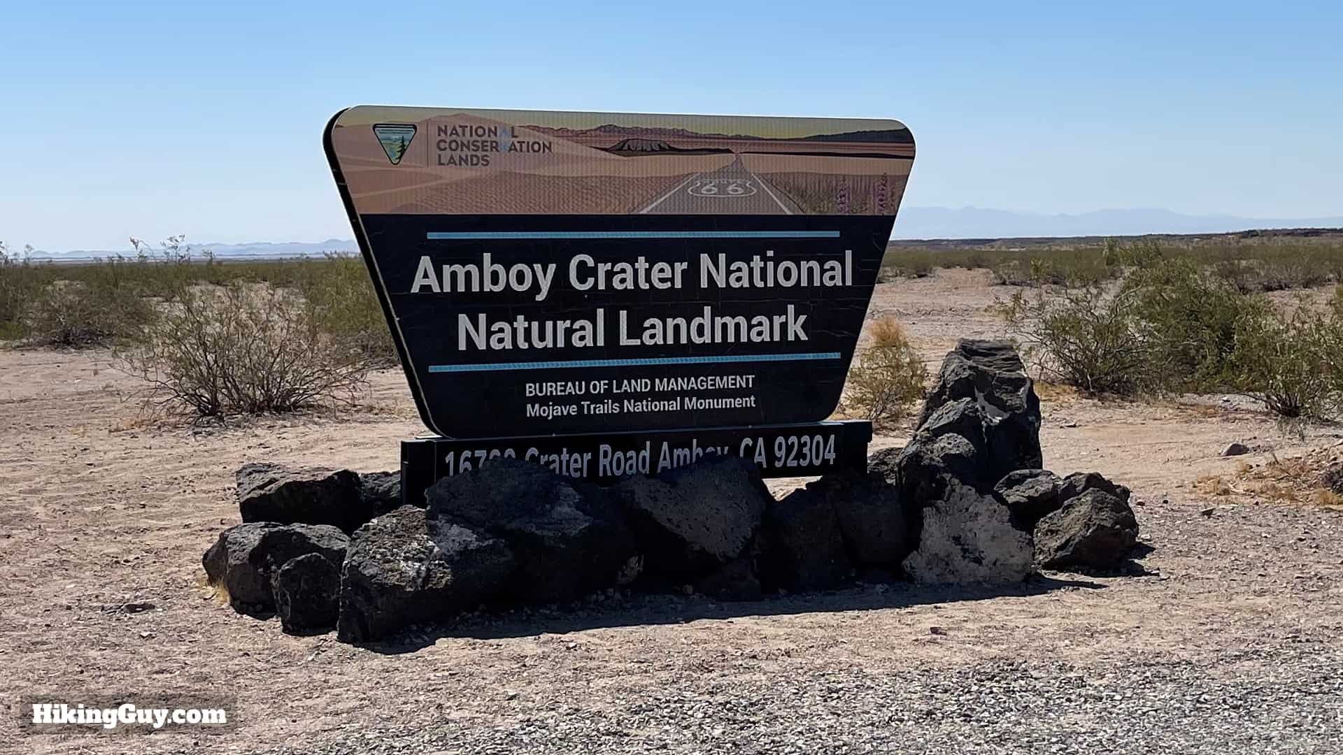
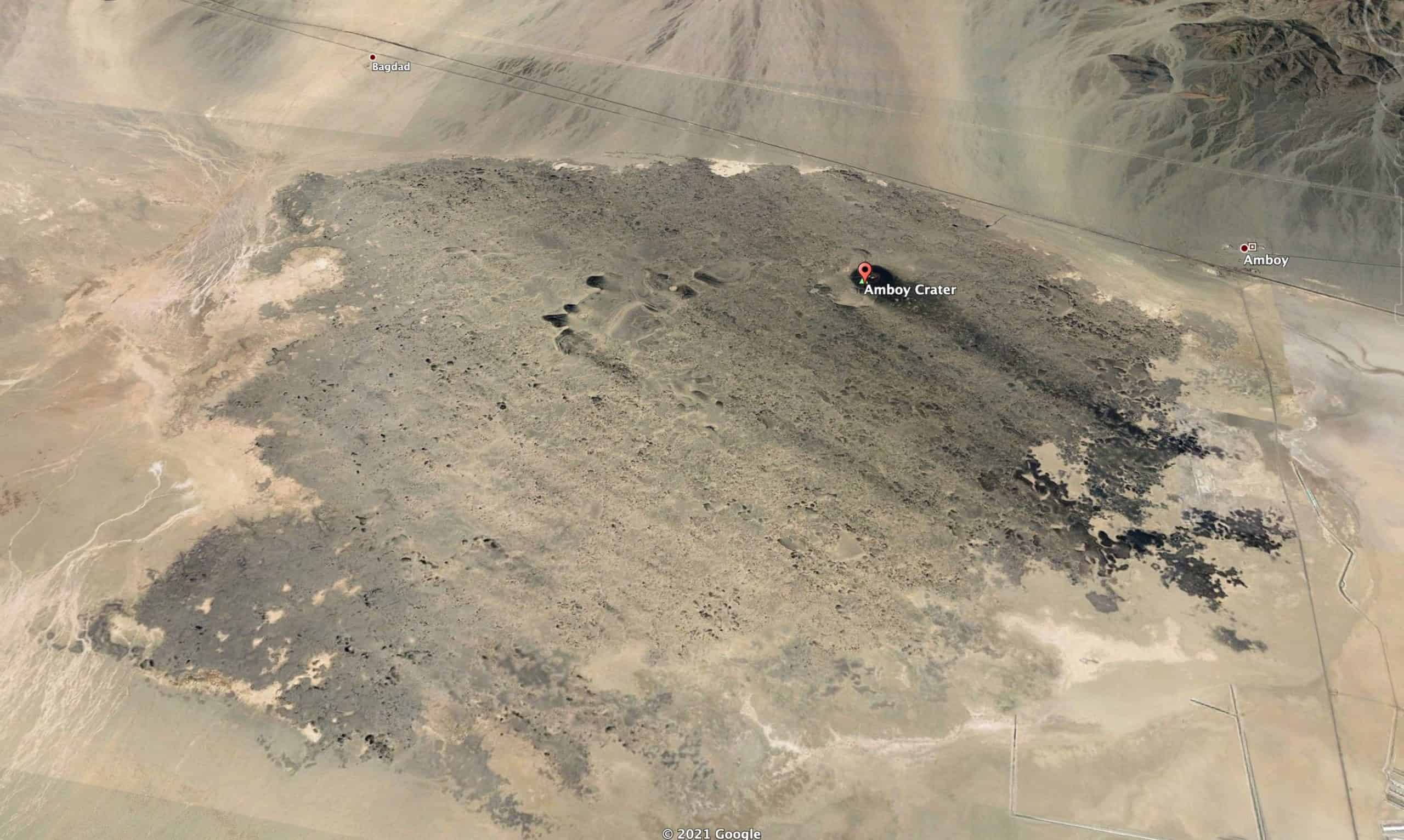
Where is Amboy Crater?
Amboy Crater is just south of Mojave National Preserve on Route 66, and is just a reasonable detour off of Interstate 40. Use this trailhead address:
Amboy Crater Parking Lot and Trailhead, Amboy, CA 92304
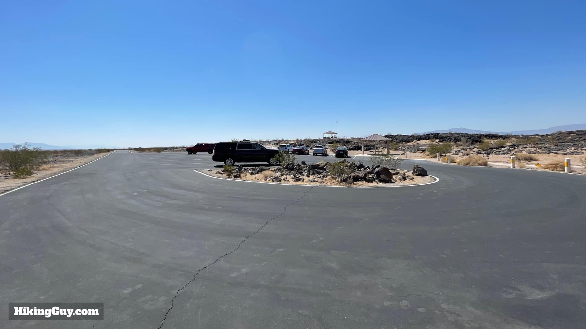
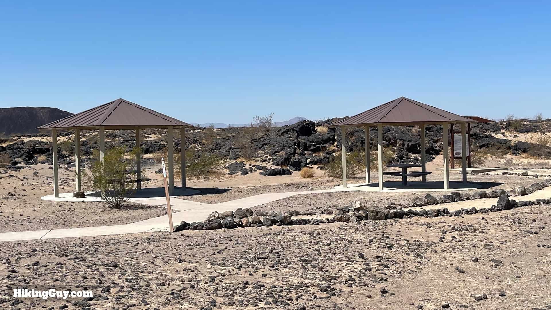
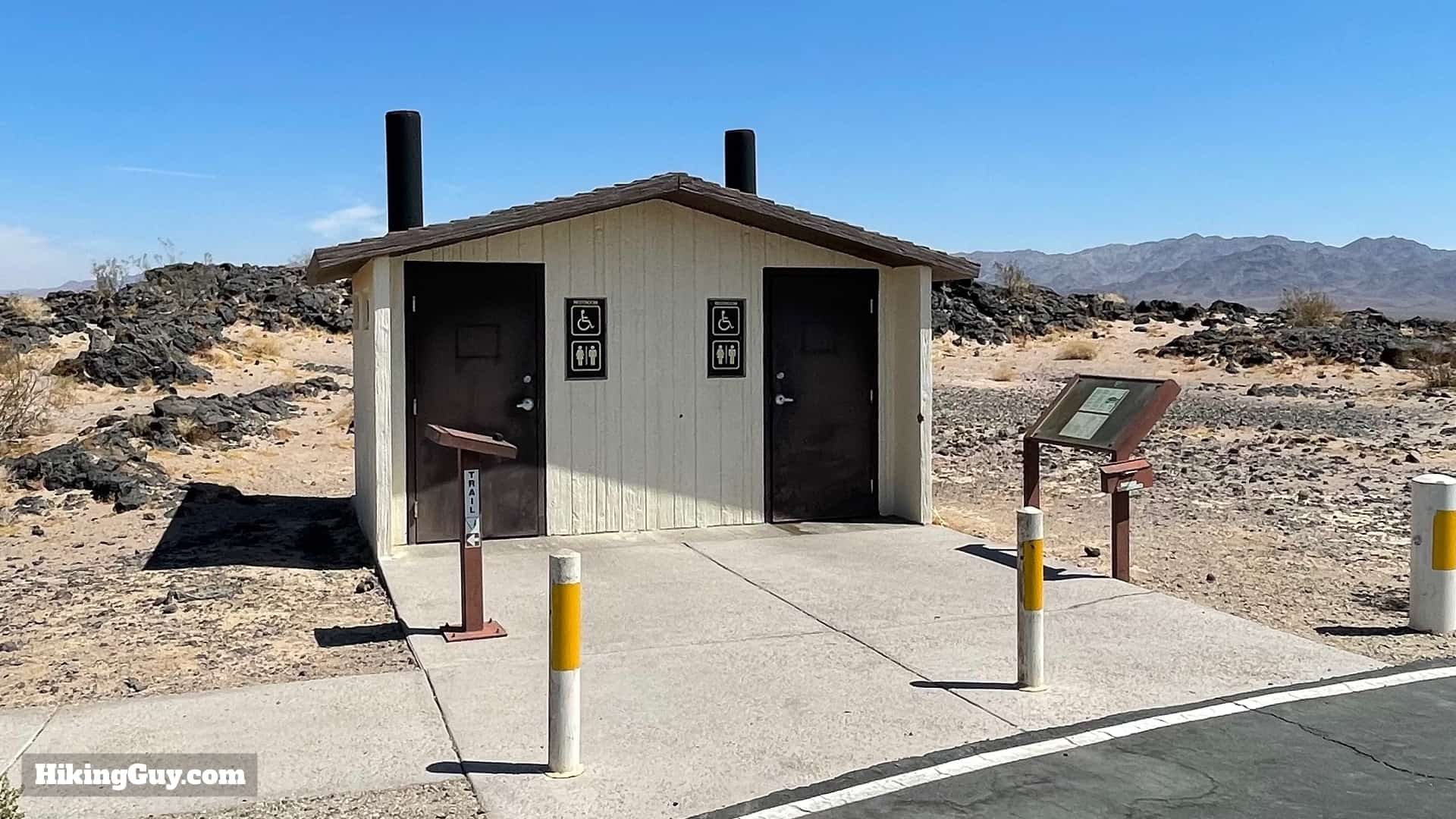
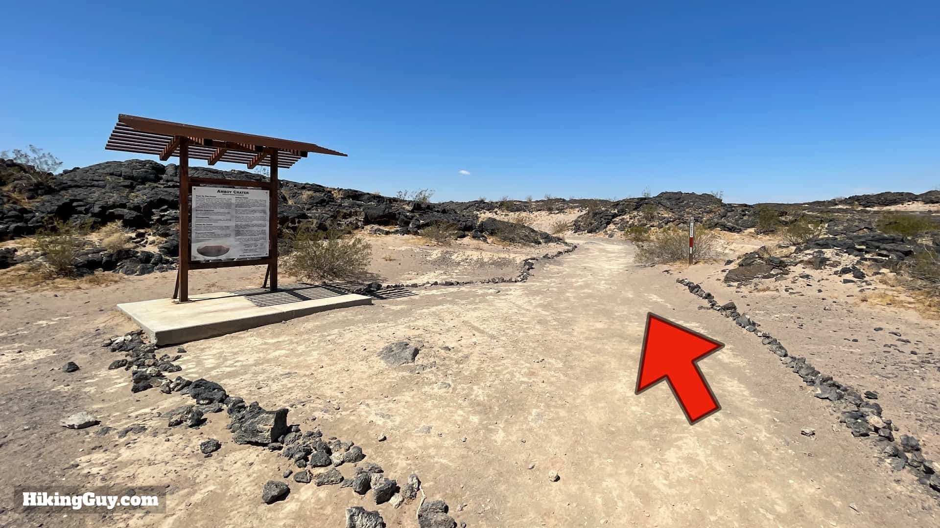
There is no water at the trailhead. Bring water with you to the hike.
When To Hike Amboy Crater
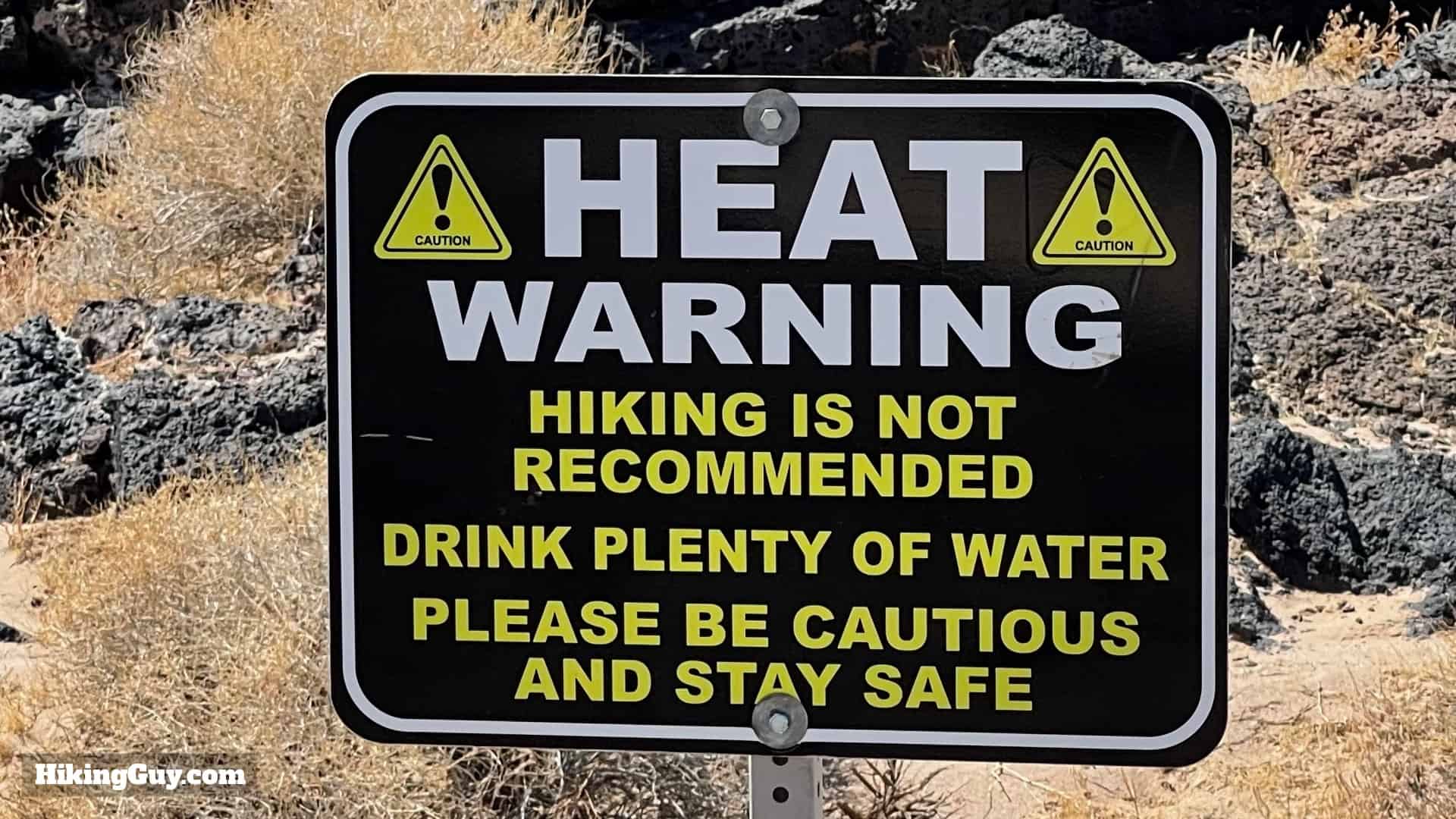
Even though this isn't a long hike, it can be deadly. People who were not prepared have died here, for real. In the warmer months it can routinely hit 110F. This hike is best done between October and April. Always check the nearby temperatures and expect the heat at Amboy Crater to be several degrees warmer than the forecast. Sunrise and sunset are great times to experience the hike.
Gear For the Hike
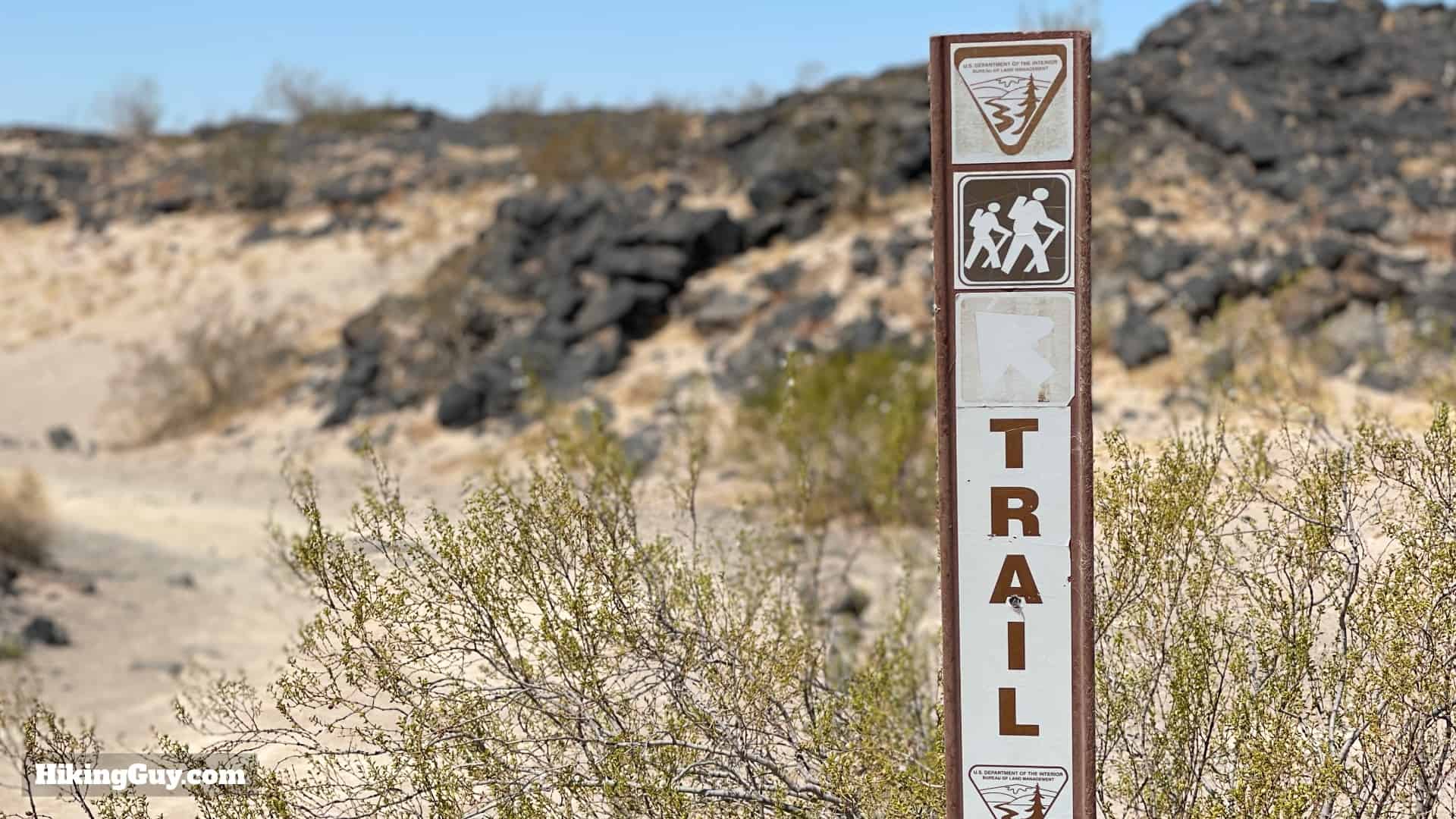
This is a short hike and you don't really need anything special to do it. Light hiking gear or fitness clothes work best. Bring at least 1L of water, sun protection, and good shoes to hike on top of the sharp lava rocks with. Watch your step for the normal desert creatures like rattlesnakes and lizards. If you're scared of heights, having trekking poles to steady yourself at the rim can be helpful. Most folks can walk around the rim without any additional gear though.
Essentials I’m Using Now
- Garmin inReach Mini 2: Reliable SOS Everywhere on Earth
- Sawyer + CNOC Water Filter: Easy & Reliable Safe Water
- Nitecore NU25 Headlamp: Running late? Get home safe
- Altra Olympus 275: Favorite trail shoes right now, no blisters and very comfy.
- AllTrails Plus (30% off): Offline maps on your phone with the Plus level
- Full November 2025 Gear List →
Amboy Crater Map
3D Map
Amboy Crater Eruption History
There's some dispute about the timing of the eruptions at Amboy Crater, but the consensus has the first happening around 79,000 years ago, and the last happening 10,000 years ago. Today the volcano is extinct, although there is still tectonic activity here. In 1999 the powerful 7.1 magnitude Hector Mine earthquake's epicenter was just miles away.
Full disclosure: I was inspired to visit Amboy Crater after watching the 2021 Iceland volcano live cams. Here's the type of stuff that you can see when watching, and I hope that seeing this gets you as excited to visit the (much cooler) real thing too.
Hike Brief

- Before Interstate 40 opened nearby in 1973, most travelers crossing the country on Route 66 would pass by Amboy Crater. The town of Amboy a the major refueling stop between LA and Vegas.
- The nearby Roy's Motel & Cafe in Amboy is worth a quick stop. Today it's mainly used as a movie location.
- If you hear loud explosions and feel the ground shake when hiking, don't worry, it's not an eruption. Amboy Crater borders the Marine Corps Air Ground Combat Center in Twentynine Palms, and there is often training going on. It can be a bit unnerving to hear the explosions if you've been enjoying the silence in the Mojave.
Amboy Crater Hike Directions


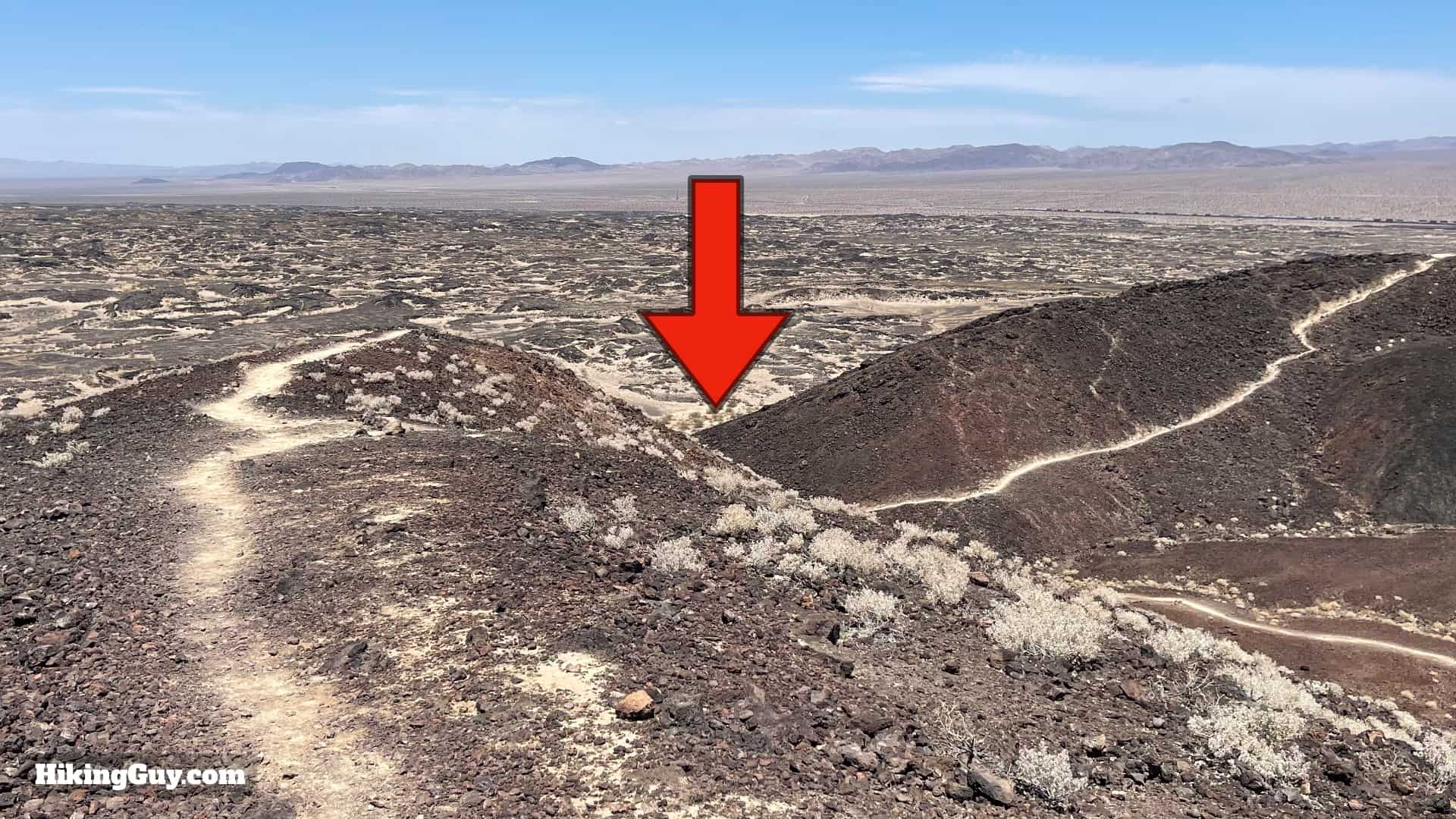
Once you're at the gap, you can go into the middle of the crater. It's not super-exciting, and I think the rim is better, but if you want to do it, do it here and then come back and continue at the last step. The trail into the middle from here is much safer than scrambling down the side of the cone on the other trails.