Aztec Cave Trail Guide
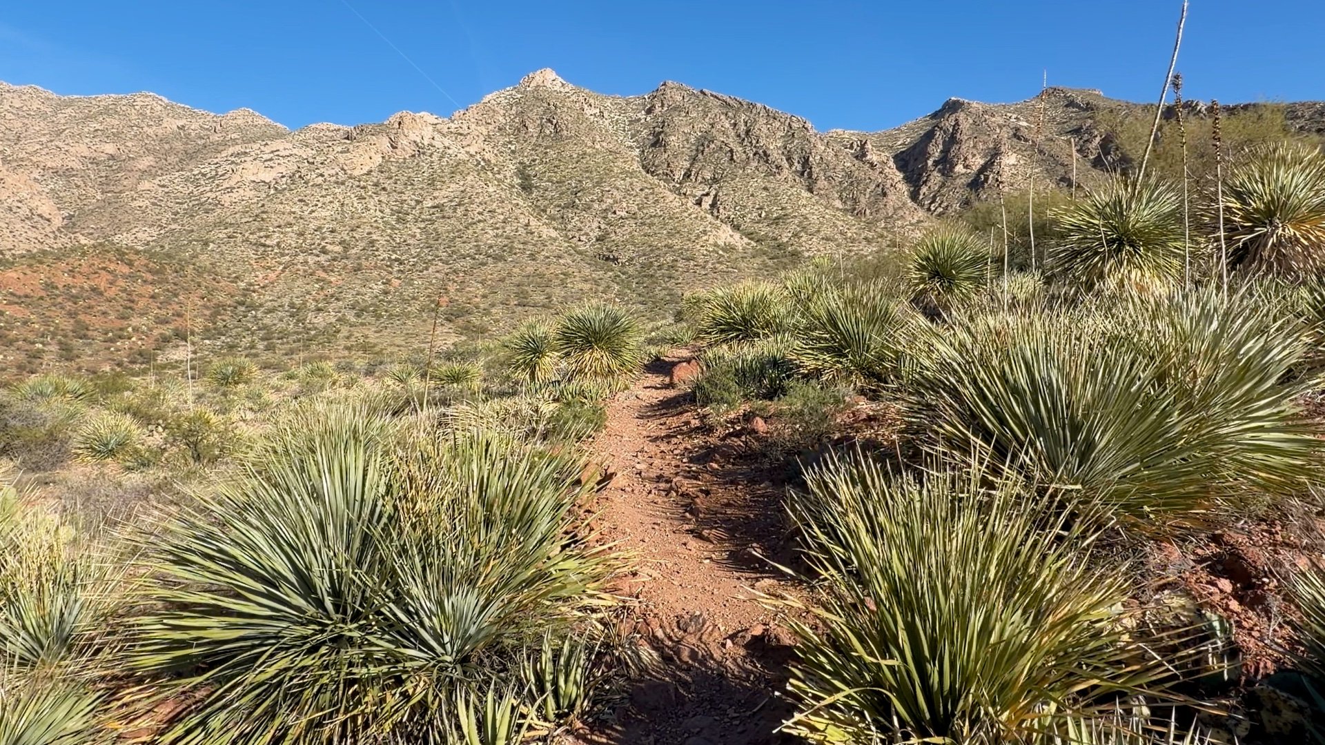
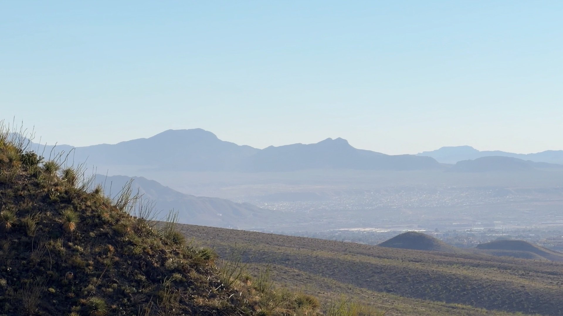
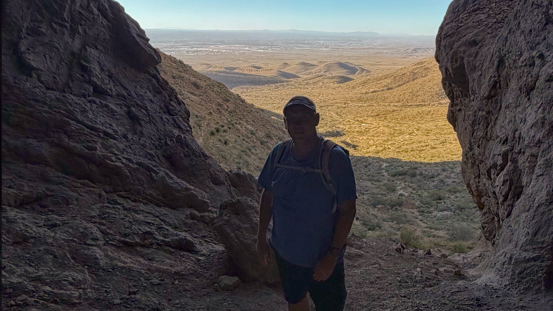
The Aztec Cave Trail is a short, steep hike in Franklin Mountains State Park that climbs to a set of shallow caves with wide views over El Paso. It’s an easy, rewarding hike through class Chihuahuan Desert terrain that ends with one of the best overlooks in the park. In this guide, I’ll cover how to get there, what to expect on the hike, and what makes Aztec Caves worth the effort.
Hike Stats
- Total Distance
- 1.7 miles
- Time
- 1 hour
- Total Climbing
- 450 feet
- Difficulty
- Easy
- Crowds
- Moderate
- Dogs
- Leashed
- Gear
- What I Use
- Weather
- Latest Report
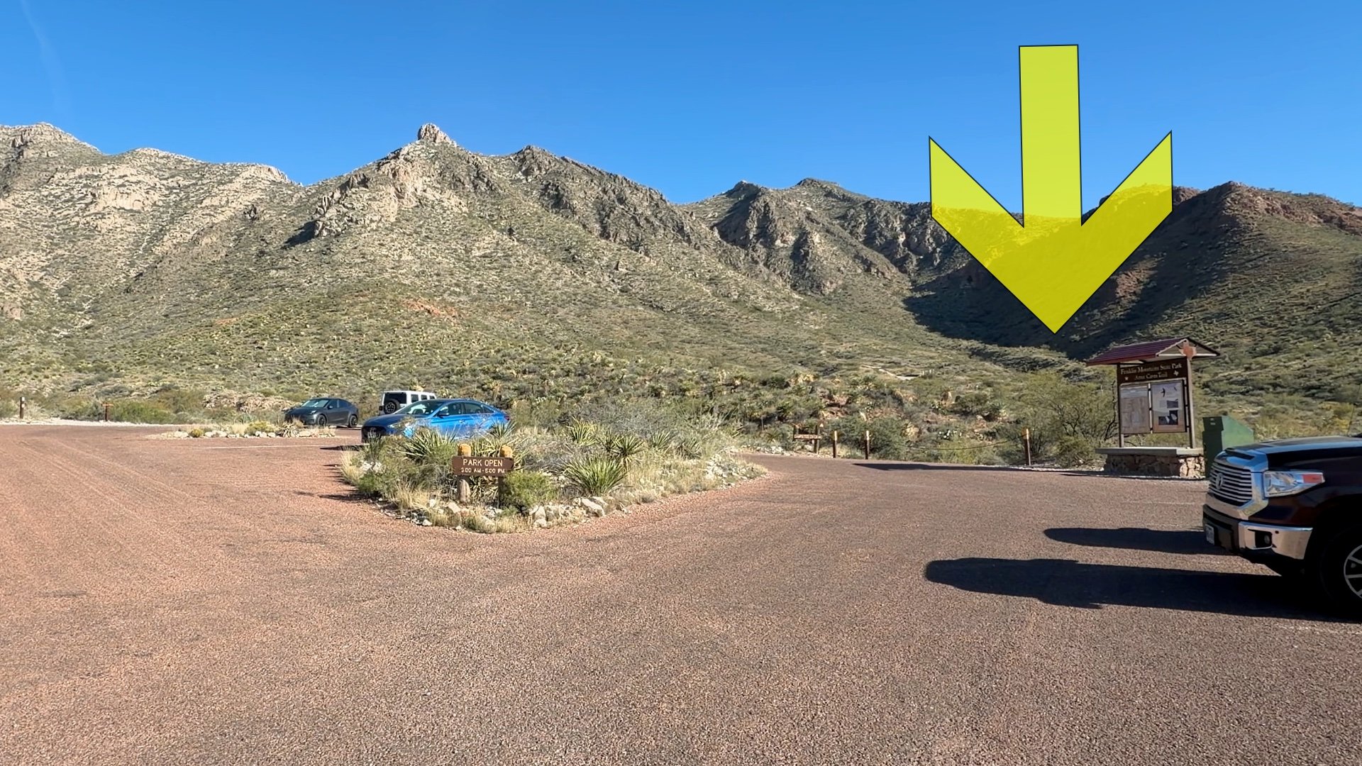
Where is Aztec Cave Trail?
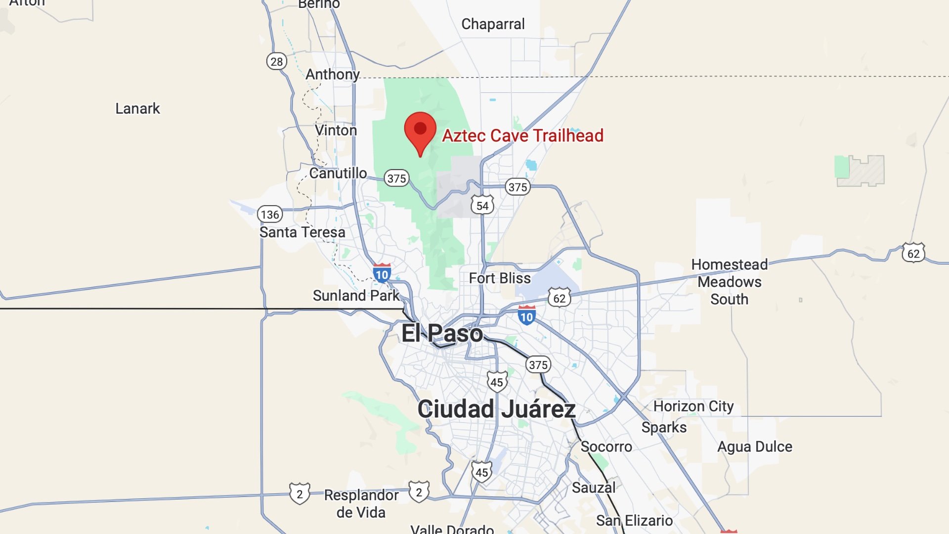

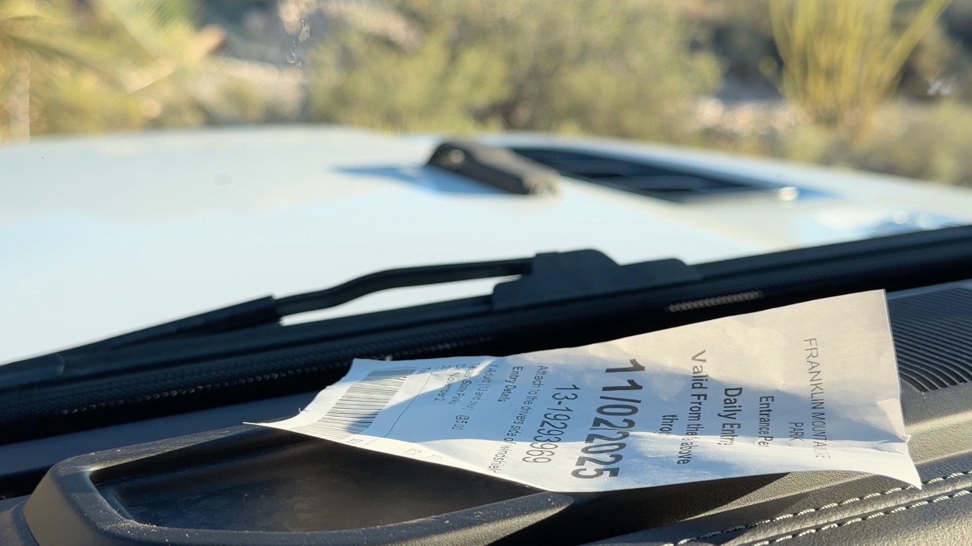
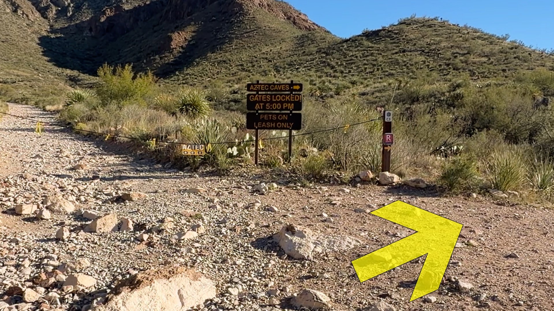
This hike is in Franklin Mountains State Park, and the gates are generally open from 8 a.m. - 5 p.m, but check the park website for the latest.
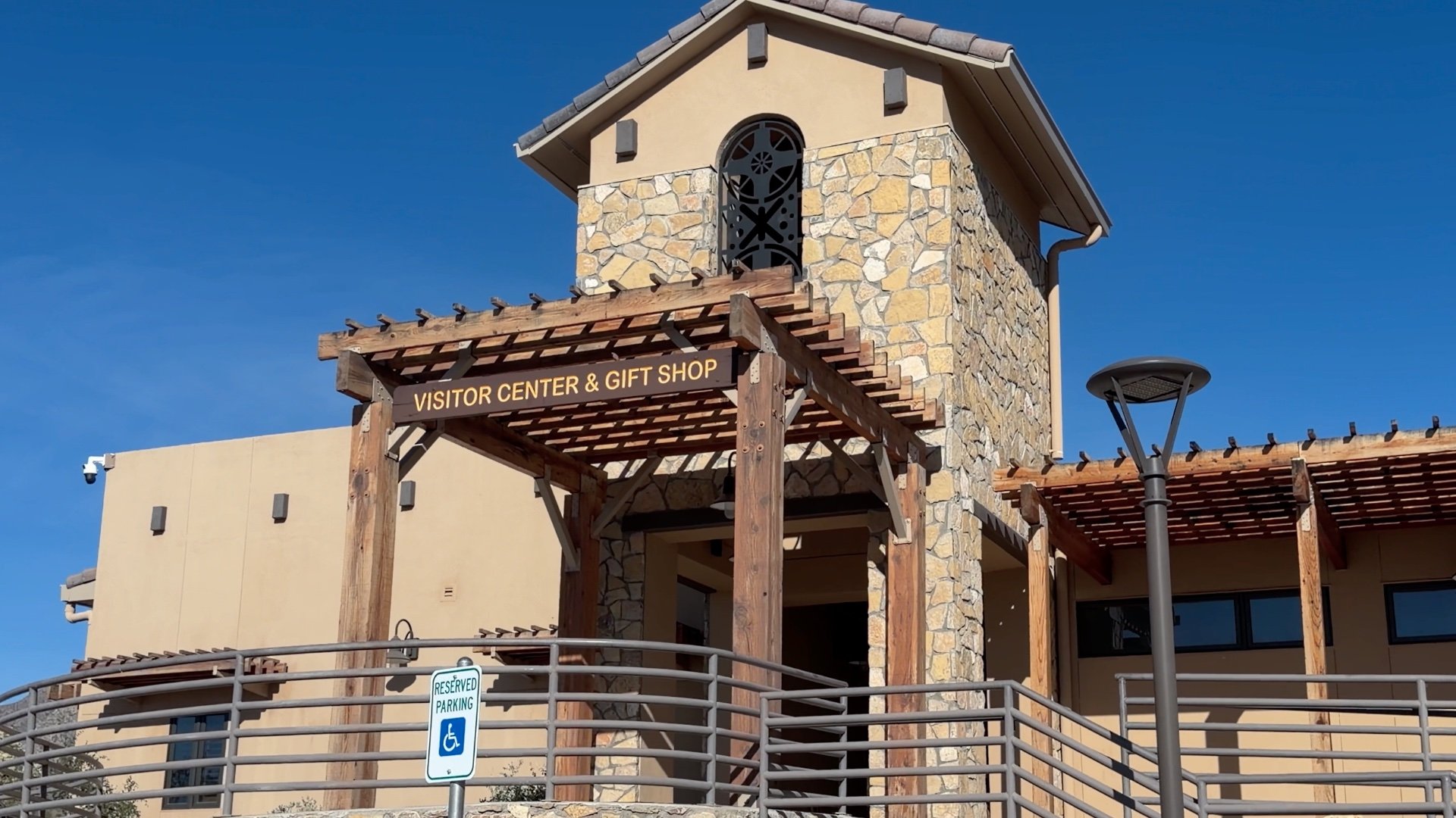
If you need to fill up with water or go to the bathroom, do it at the Visitor Center. There is no water at the trailhead.
Staying Safe
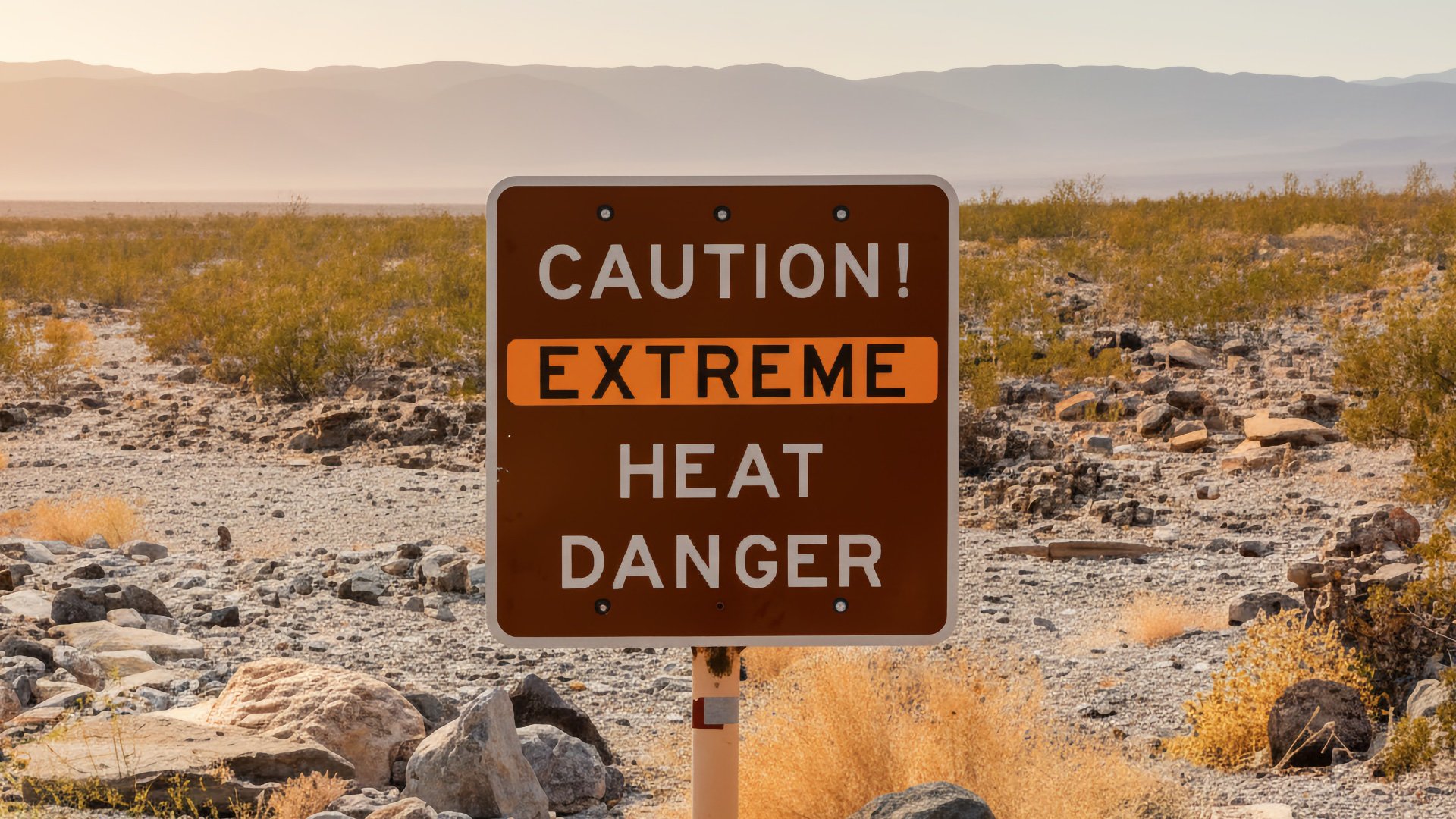
According to Public Health Watch, "From 2022 through 2024, one male hiker died each year in El Paso’s Franklin Mountains. Two of the hikers were visiting El Paso from out of state at the time of their deaths." So heat is a real thing here, and if the temperatures are going to be high, this is not the place to be.
Other than that, there's not much to worry about on the hike. It's the desert, so there will be rattlesnakes out there in warmer months, usually from spring through fall. They will avoid people but you might see them out sunning or crossing the trail. Just give them plenty of room and walk around them if possible. Avoid moving rocks around, they'll shelter in rock crevices to stay safe and to do their version of hibernation in the winter.
Gear Recommendations
What to bring on this hike depends on the season.
- When it's warm, bring at least 1 liter of water on the hike, as well as sun protection.
- Trekking poles can be helpful if you have them (but I wouldn't buy them just for this hike).
- Good trail runners are the best bet 0n this trail.
- In the winter if there's snow or ice, Aztec Cave is facing north, so it will stay slick longer outside of direct sunlight. In this case it's best to do the hike another time or use traction devices like micro-spikes.
Essentials I’m Using Now
- Garmin inReach Mini 2: Reliable SOS Everywhere on Earth
- Sawyer + CNOC Water Filter: Easy & Reliable Safe Water
- Nitecore NU25 Headlamp: Running late? Get home safe
- Altra Olympus 275: Favorite trail shoes right now, no blisters and very comfy.
- AllTrails Plus: Offline maps on your phone with the Plus level
- Full November 2025 Gear List →
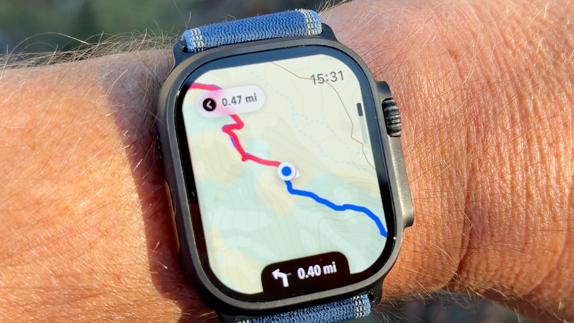
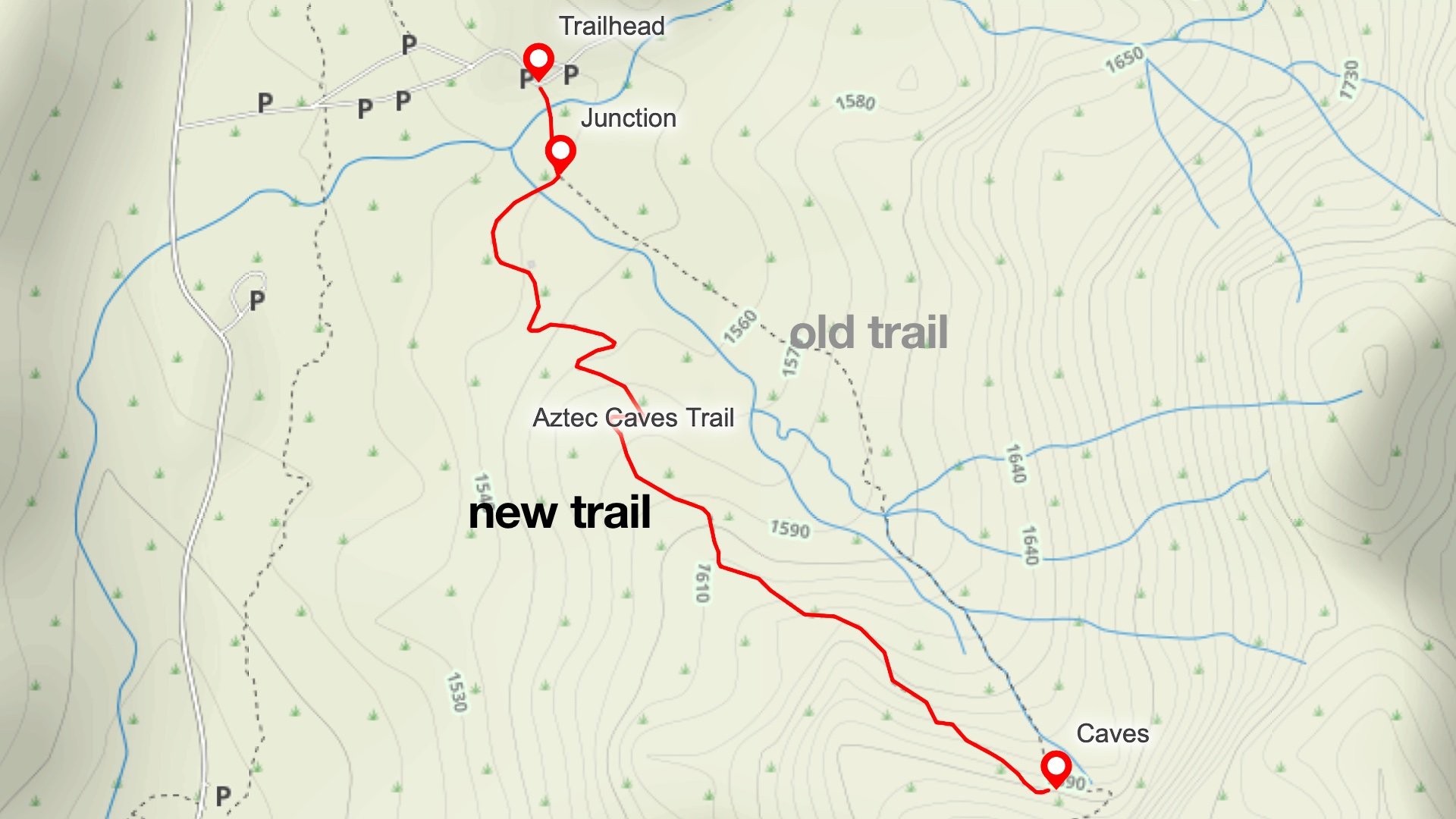
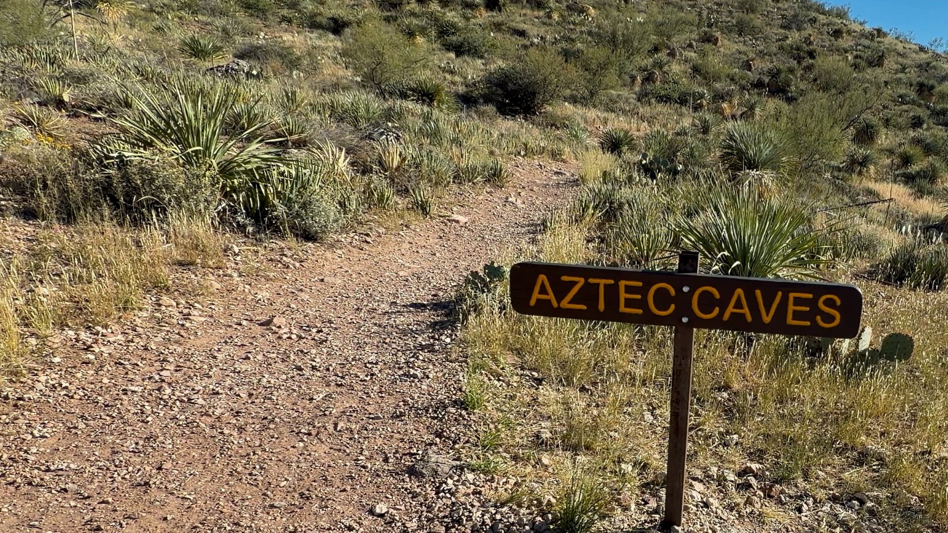
Aztec Cave Trail Maps
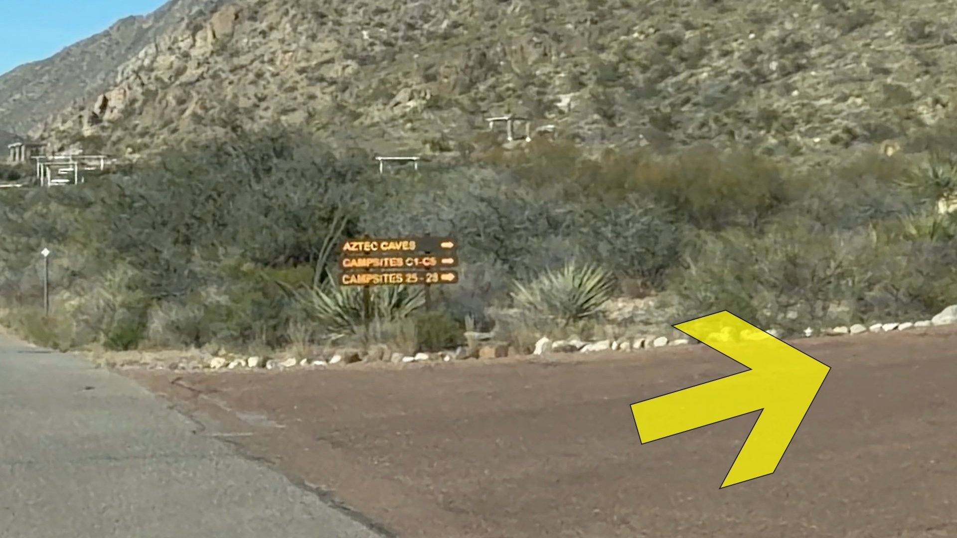
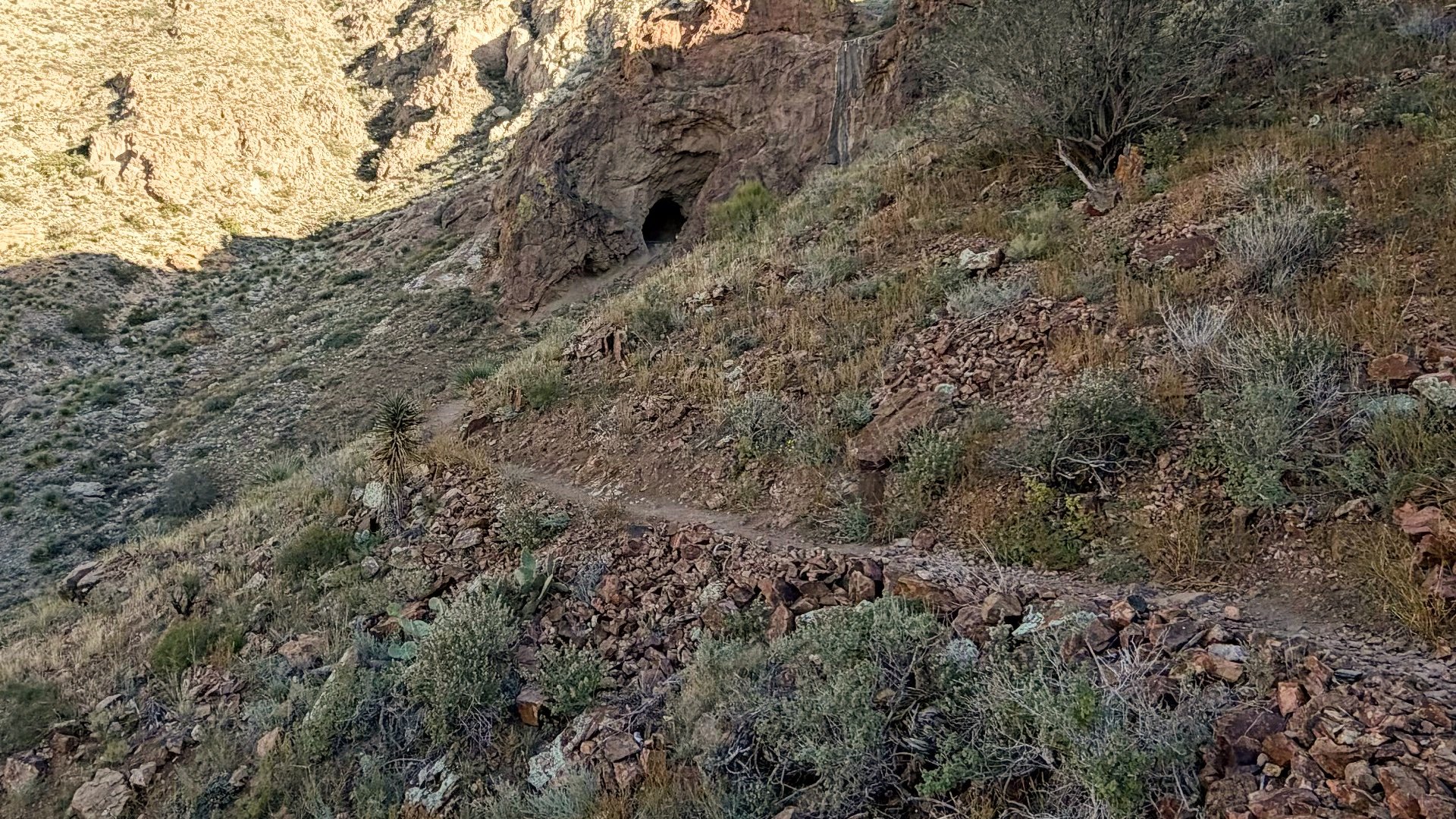
There are two trails to Aztec Cave. The original is shorter but steep and not fun to come down; lots of loose soil that you can easily slip on. So in this guide I'll show you the way I recommend doing it, which is the new trail. It's slightly longer but much easier to hike on.
 View Interactive Map
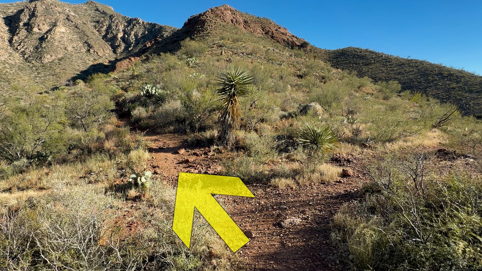
Aztec Cave Hike Directions
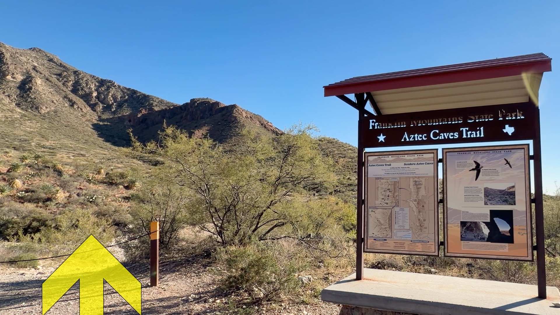
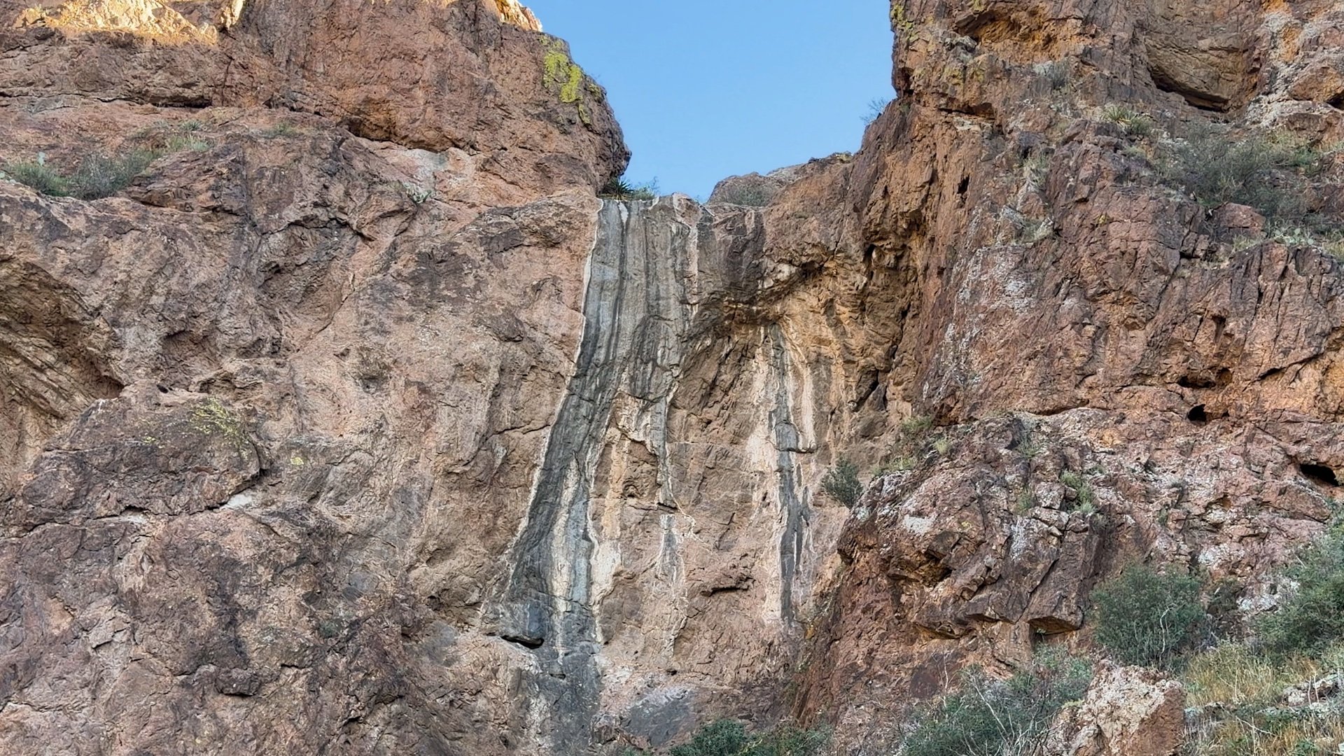
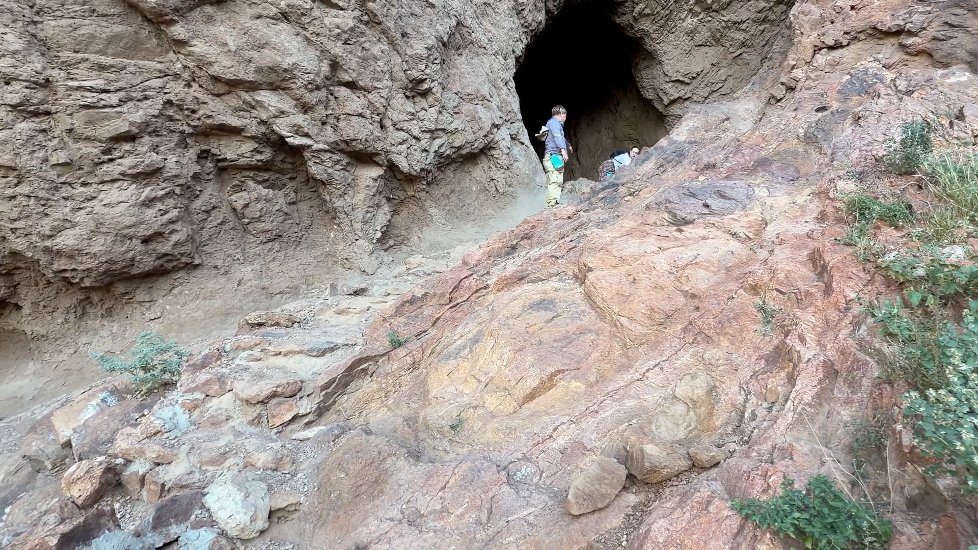
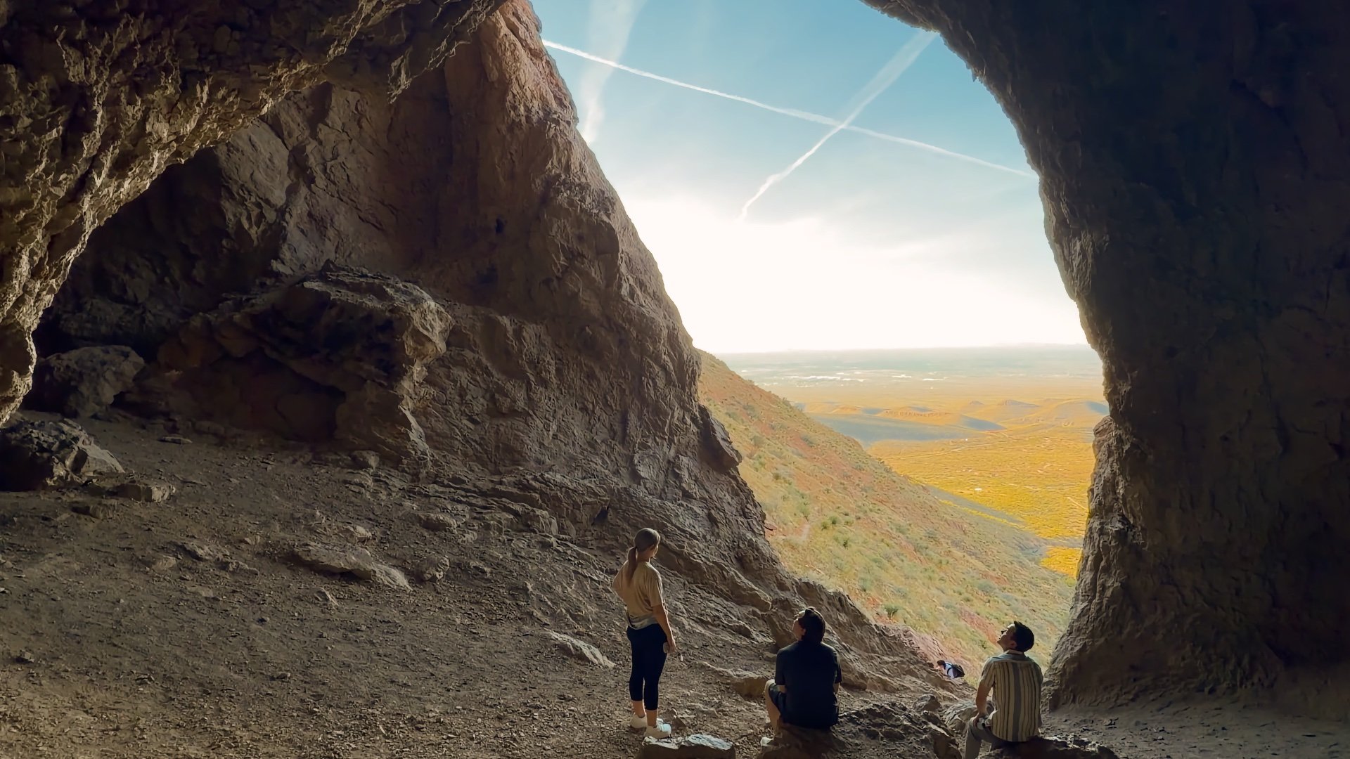
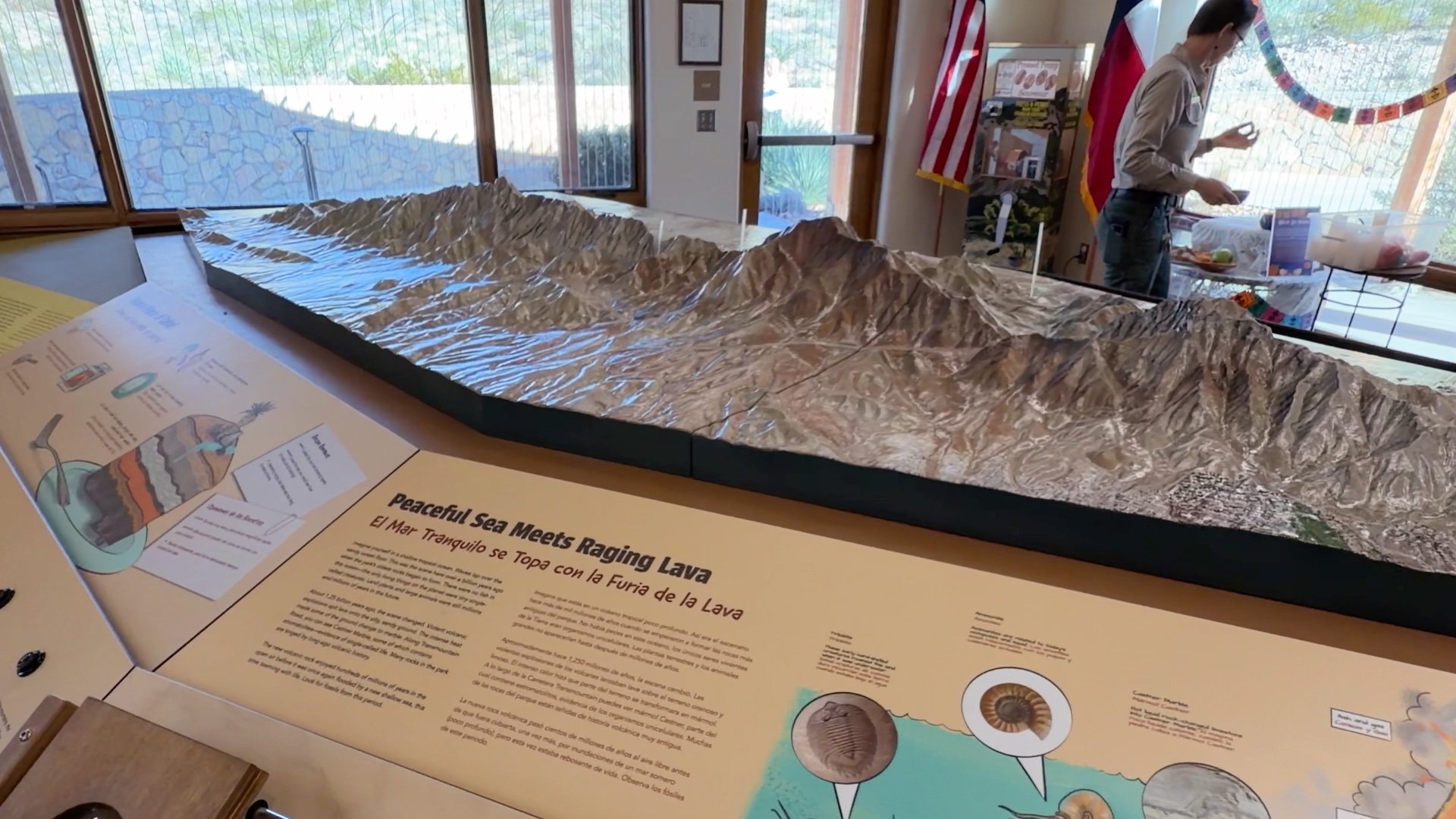
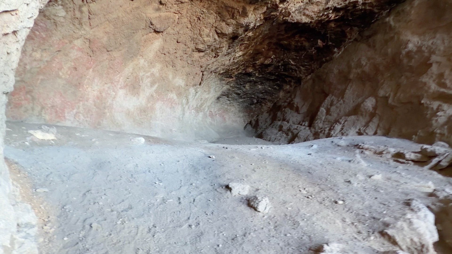
Aztecs in Texas? No, the caves have nothing to do with the Aztecs but were likely used by the local Apache. These big caves are actually air pockets in ancient volcanic rock. And although the Franklin Mountains rose about 60–70 million years ago through tectonic uplift, some of the rocks exposed here are nearly a billion years old, back when life on Earth was limited to microscopic single-celled organisms.


Want to explore some more? There are lots of great trails in the park, including the city’s high point, North Franklin Mountain at 7,192 feet. A peak so high that it has its own weather report! The Franklin Mountains aren’t technically part of the Rockies, though they’re often called "the southern end of the Rockies" because of their height.
Originally published November 10, 2025