The Fairyland Loop Trail is one of the best ways to experience Bryce Canyon without the crowds. This 8-mile loop takes you deep into a quieter section of the park, winding through stunning hoodoos and rock formations. It's a stunning area that gets overshadowed by the trails in the nearby Bryce Amphitheater. If you like hiking, the Fairyland Loop Trail is a must-do.
Where is the Fairyland Loop Trail?
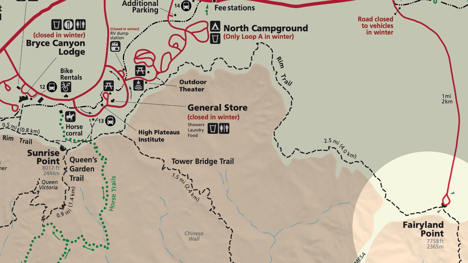
To start the Fairyland Loop, head to Fairyland Point. The turnoff to Fairyland Point is just before you reach the fee station near the Visitor Center.
The Fairyland Loop is a hybrid hike combining Fairyland Trail and about 2.5 miles of the Rim Trail (to close the loop). I recommend starting at Fairyland Point and hiking counter-clockwise, which is also what the park suggests. That way, you’ll descend gradually into the canyon, do most of the climbing by the middle, and finish with a shorter, easier climb back to the rim.
The shuttle bus does not run to Fairyland Point.
Best Time to Do the Hike
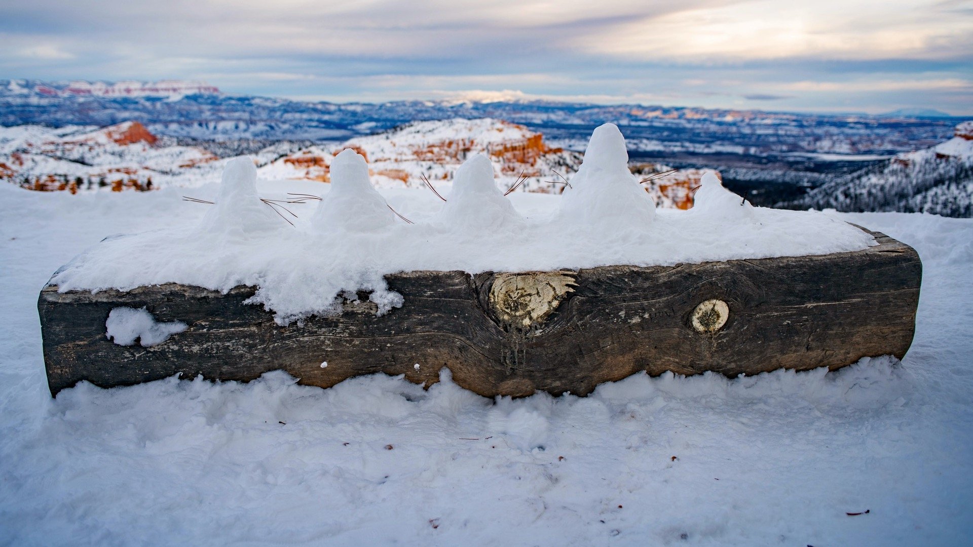
The high points on this hike are above 8,000 feet, and snow is common in the winter and early spring, making the hike a much different experience than when it's clear.
Month
Jan
Feb
Mar
Apr
May
Jun
Jul
Aug
Sep
Oct
Nov
Dec
Snow
Best
Snow
The best time to do the Fairyland Loop is in the summer and fall, when it's snow free. According to the park service, the Fairyland Loop can be covered in 2-15 feet of snow in the winter, and the road to Fairyland Point can be closed to vehicles. If you're in doubt, I'd check with the rangers at the visitor center.
Gear Recommendations
Given the distance and location of this hike, I'd recommend proper hiking gear here, including the essentials. Second-best choice is fitness gear.
Bring at least 2L of water.
There's not much shade on this hike, opt for some sun protection.
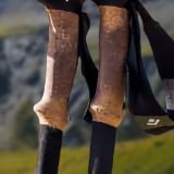
If there is some lingering snow or ice on this hike, the rangers recommend using micro-spikes, which are like mini snow chains for your shoes. They allow you to dig into the snow and ice and not slip. They pair well with trekking poles to keep your balance.
After a short climb to the highest point on the Rim Trail, we descend, have some ups and downs, and then a climb out at the end.
Fairyland Loop Trail Directions
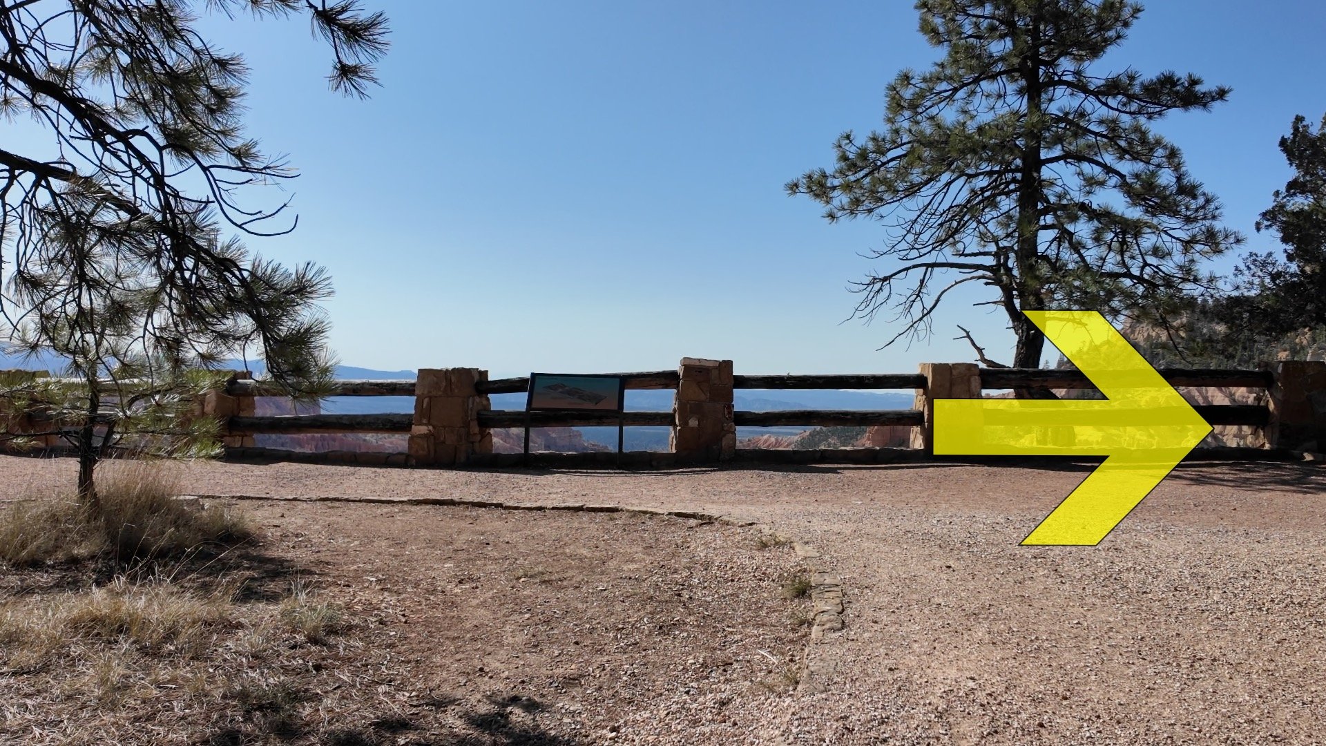
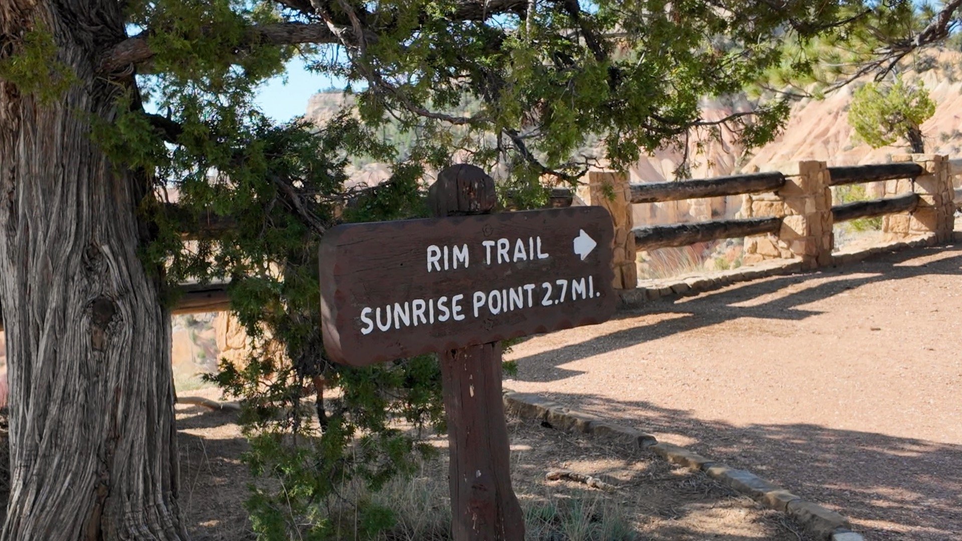
From the viewpoint at Fairyland Point, hike right.You'll see a sign for Sunrise Point. We're not heading quite that far; we have about 2.5 miles until our next trail junction.You'll get some incredible views of the hoodoos from this quiet section of the Rim Trail.
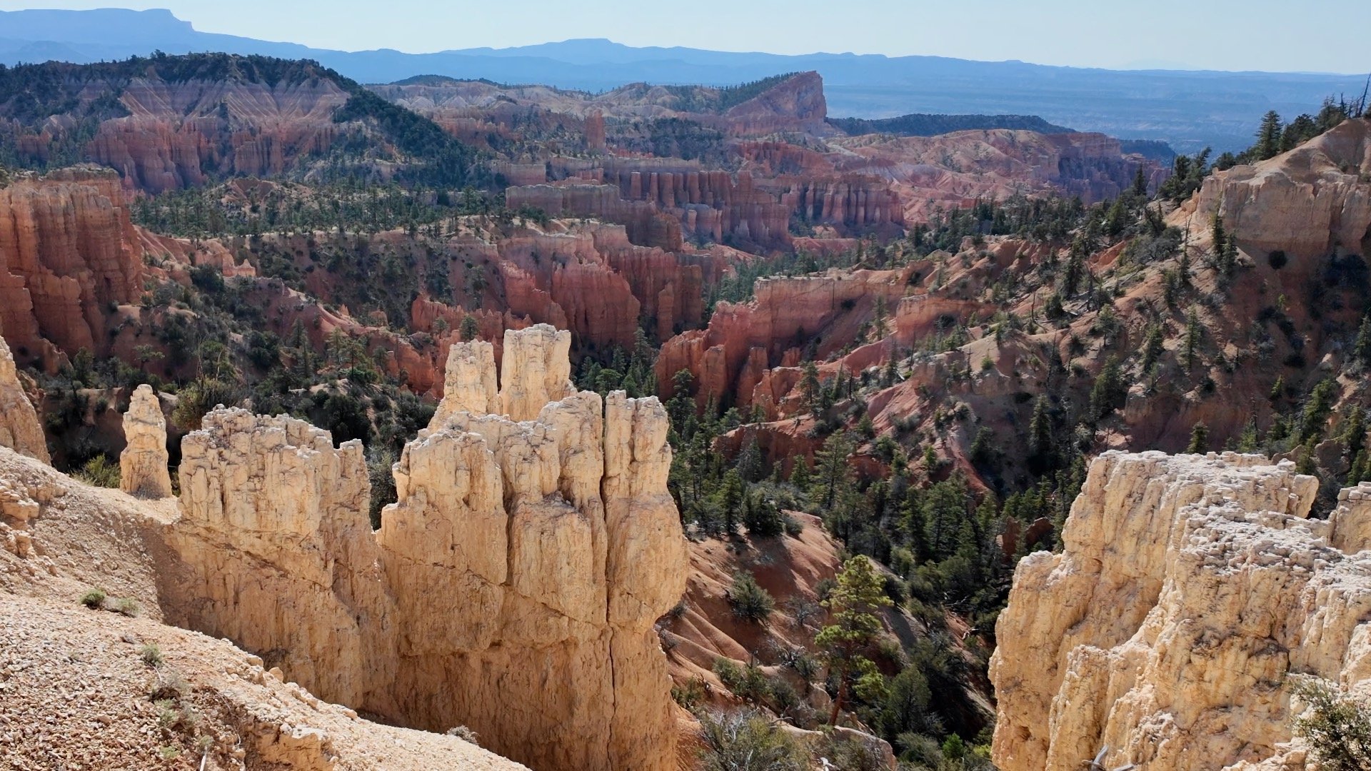
The hoodoos you see below are technically outside of the Bryce Amphitheater, an area visited by fewer park goers.
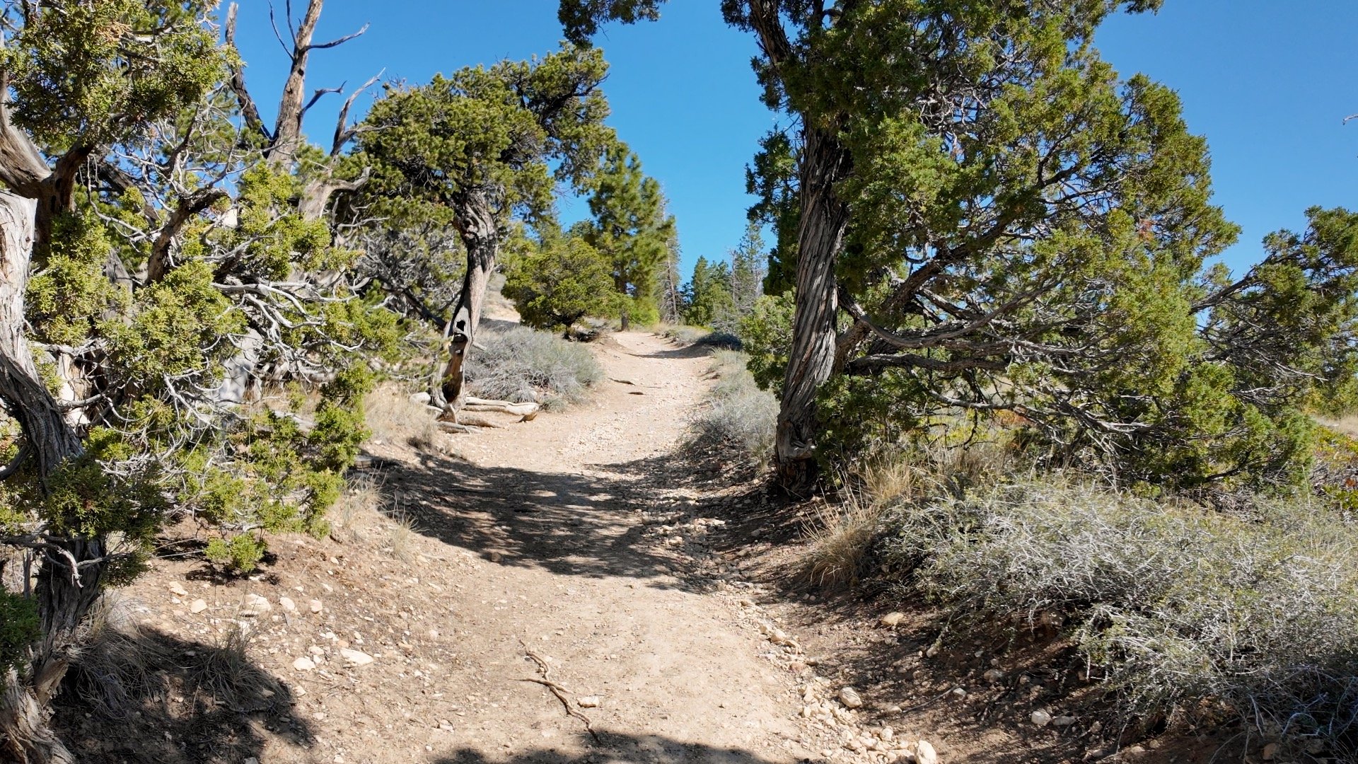
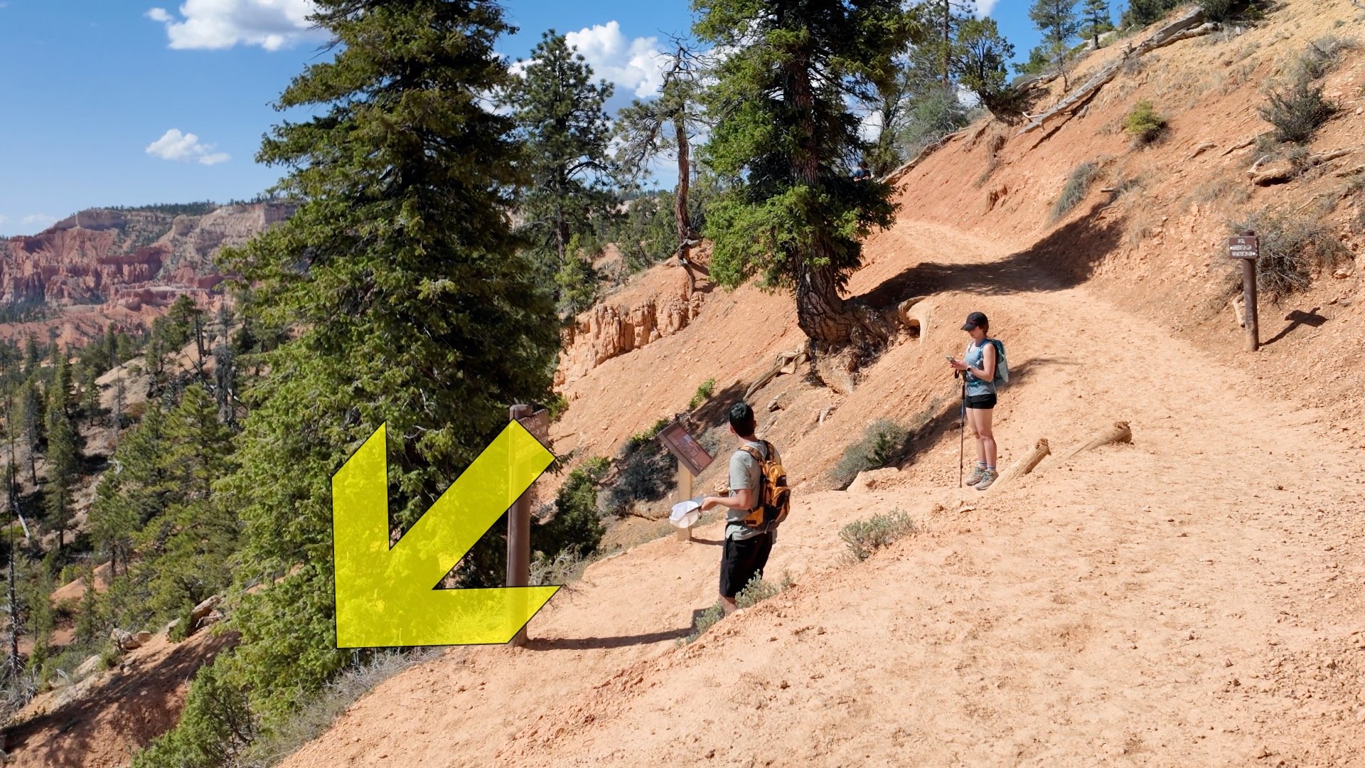
There are ups and downs on this section of the Rim Trail, with more ups than downs. In fact, you'll hit the highest point of the hike, about 8,150 ft, on this stretch.You'll pass by a few access points to the North Campground along the way. Stay on the Rim Trail.At around 2.5 miles make the sharp left and start descending on the Fairyland Trail. Going straight brings you to Sunrise Point.You can enjoy a long easy descent with spectacular views.You'll also pass some incredible eroded rock formations that rival, if not surpass, those found on the more popular trails.
Most of the trails you're hiking on were built in the 1930s by the Civilian Conservation Corps.
At around 3.8 miles you'll reach the turnoff for the Tower Bridge viewpoint. Check out Tower Bridge and then come back to continue the Fairyland Trail.Enjoy the views of Tower Bridge, named after Tower Bridge in London. This is also a good place to have a snack and refuel for the rest of the hike.Hike back to the junction and continue on the Fairyland Trail. This is roughly the halfway point, about 4 miles to go.The next 3 miles consist of ups and downs through the hoodoos as you circumnavigate Boat Mesa.At about a mile to go, you'll start to hike out of Fairyland Canyon. It's an uphill but not as hard as other sections like Wall Street.And at the top of the climb, you're back at Fairyland Point. That's the hike!