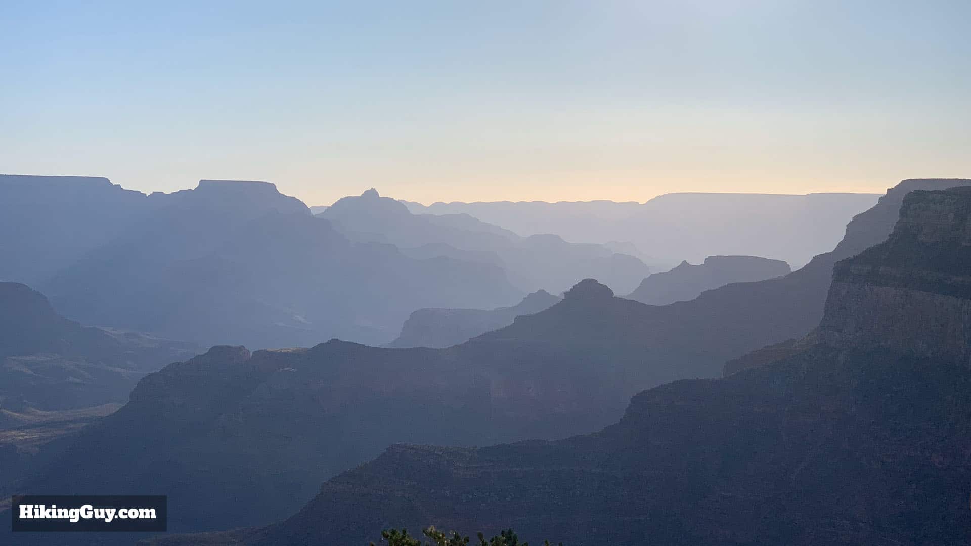
The Rim Trail at the Grand Canyon is one of the park’s rare easy hikes, following the South Rim with nonstop canyon views instead of dropping steeply into it. You don’t have to hike all 13 miles. Instead I have three easy route options, starting at just 2.7 miles, that showcase the very best of the Rim Trail.
Rim Trail Hike Options
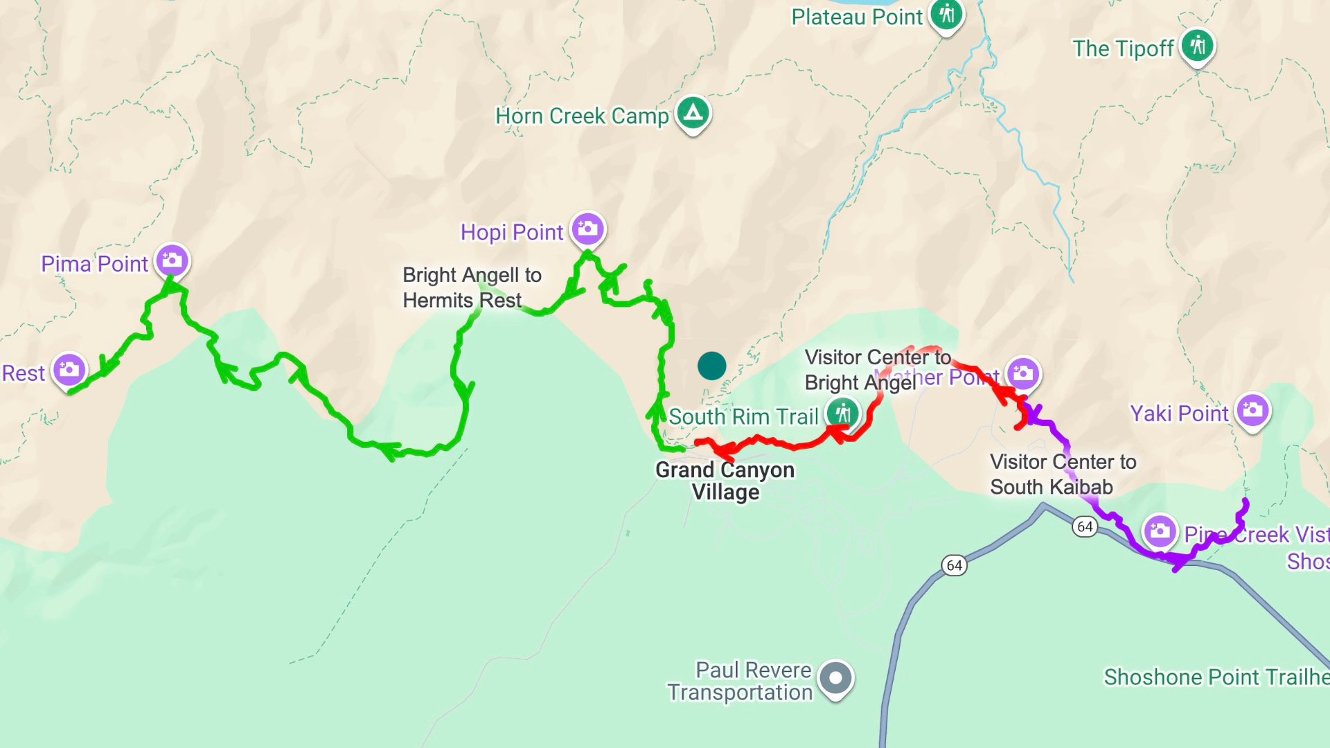
Here are the 3 Rim Trail hike options that I recommend. Each segment offers something unique based on what type of hike you'd like to do.
Hike
One-Way Miles
Color on My Map
Best For
Visitor Center to Bright Angel
3 miles
Red
Grand Canyon Attractions
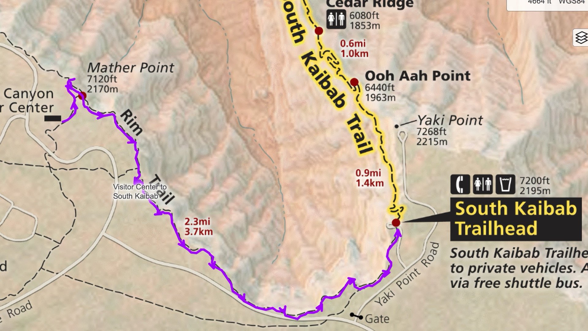
Visitor Center to South Kaibab
2.7 miles
Purple
Viewpoints Away From Crowds
Bright Angel to Hermits Rest
8.5 miles
Green
Solitude and Iconic Viewpoints
Starting the Rim Trail
Don't want to do the whole Rim Trail hike? All of these hikes I'll show you allow you to hop on or off a shuttle.
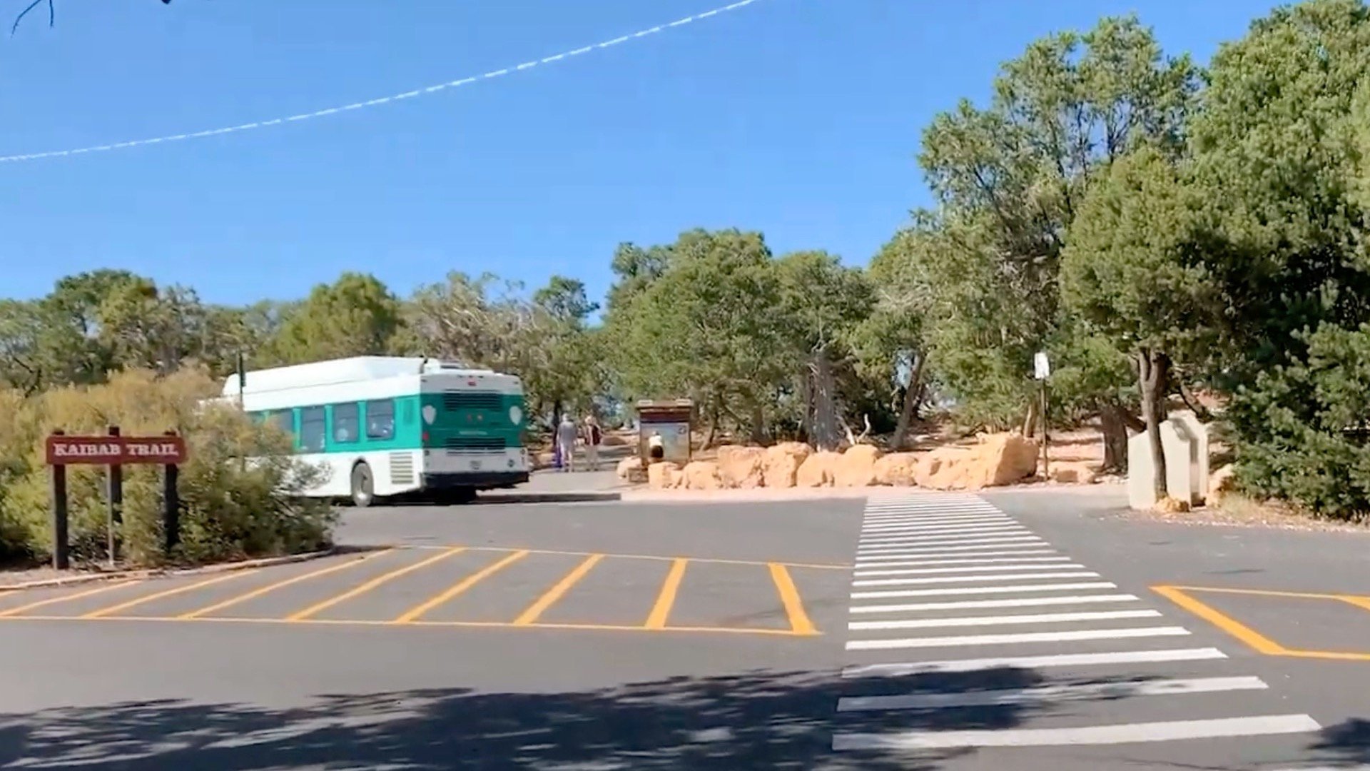
Hike 1 and 2 start from the Visitor Center, where there's plenty of parking.
Hike 3, the longer one to Hermit's Rest, starts at the Bright Angel Lodge in the main area of the South Rim Village.
This is one of the only trails where you can hike with your pet. Unfortunately they are not allowed on the shuttle buses, so you'd have to do these hikes as an out and back.
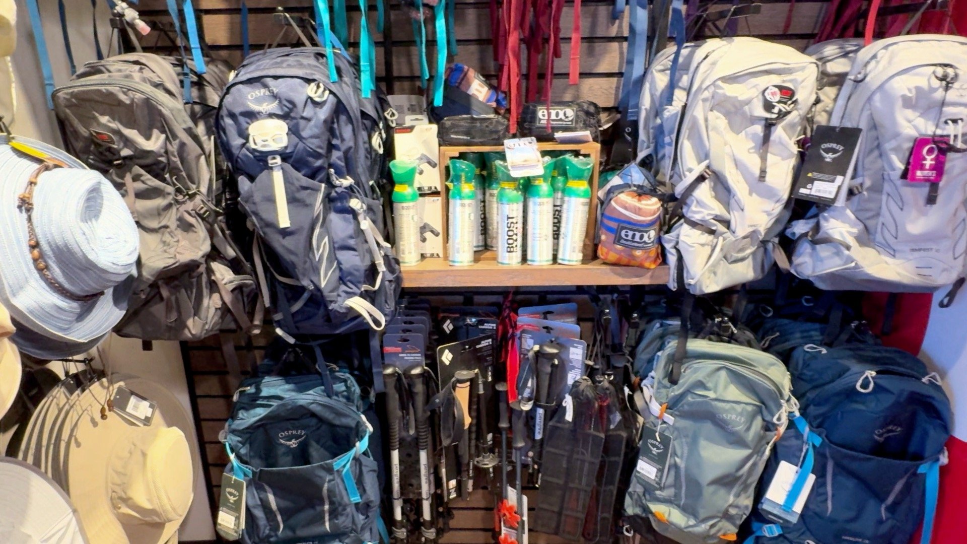
What to Bring for the Rim Trail
Need to pick up hiking gear? Many lodge gift stores and the General Store all have a decent selection of hiking gear.
Bring 1L of water and a backpack. Some parts of the Rim Trail have water refills along the way and other more remote parts don't. For the Hermit's Rest portion, bring 2-3L based on the water.
You don't need hiking boots for the Rim Trail. Wear comfortable sneakers or trail runners.
If you want to avoid the crowds, timing is everything when it comes to hiking the Rim Trail.
Hike 1 is the most crowded. Do it at sunrise and you'll have the best viewpoints to yourself.
Hikes 2 and 3 get you way from the crowds any time of the day.
In the summer it can obviously get very hot. Heat is the number one thing that gets hikers in trouble at the Grand Canyon, so if the temps rise, do the smart thing, hop on a shuttle and end the hike.
Hike 3 has some dirt portions along the rim. If it's snowy and icy, don't do those sections and hike on the road instead. This hike is a combination of paved and dirt trails.
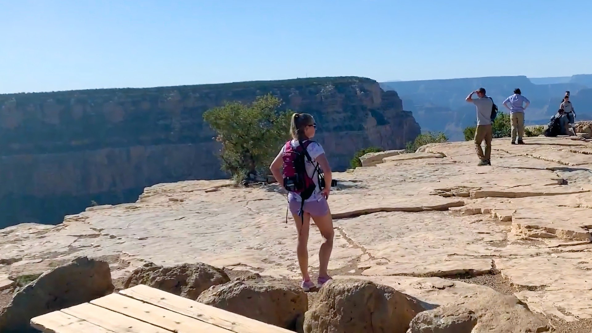
People have fallen off the edge on the Rim Trail. 100% of the time it's because they've left the trail to take pictures or explore. Use your noggin and stay away from the edge.
Grand Canyon Rim Trail Map
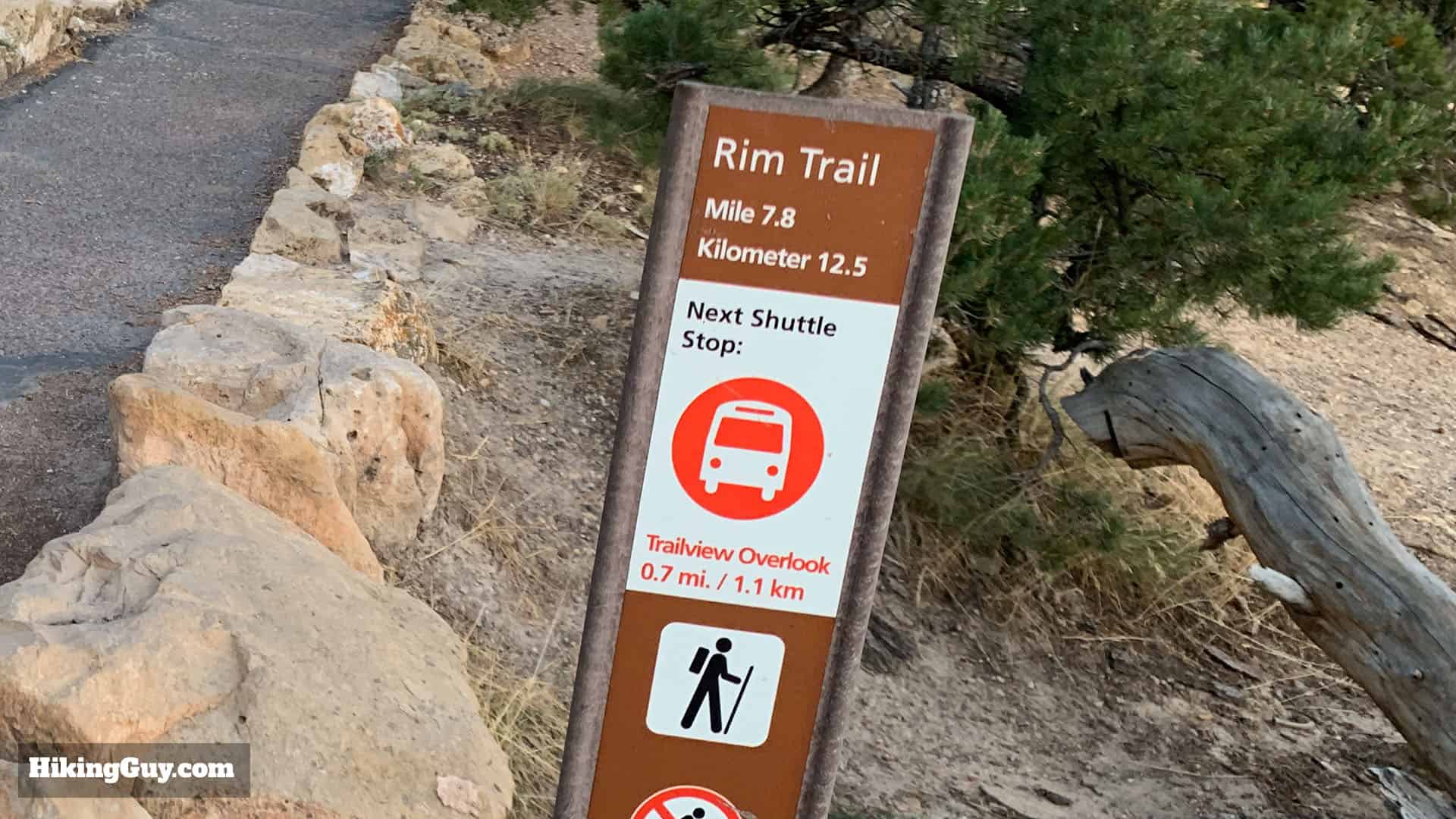
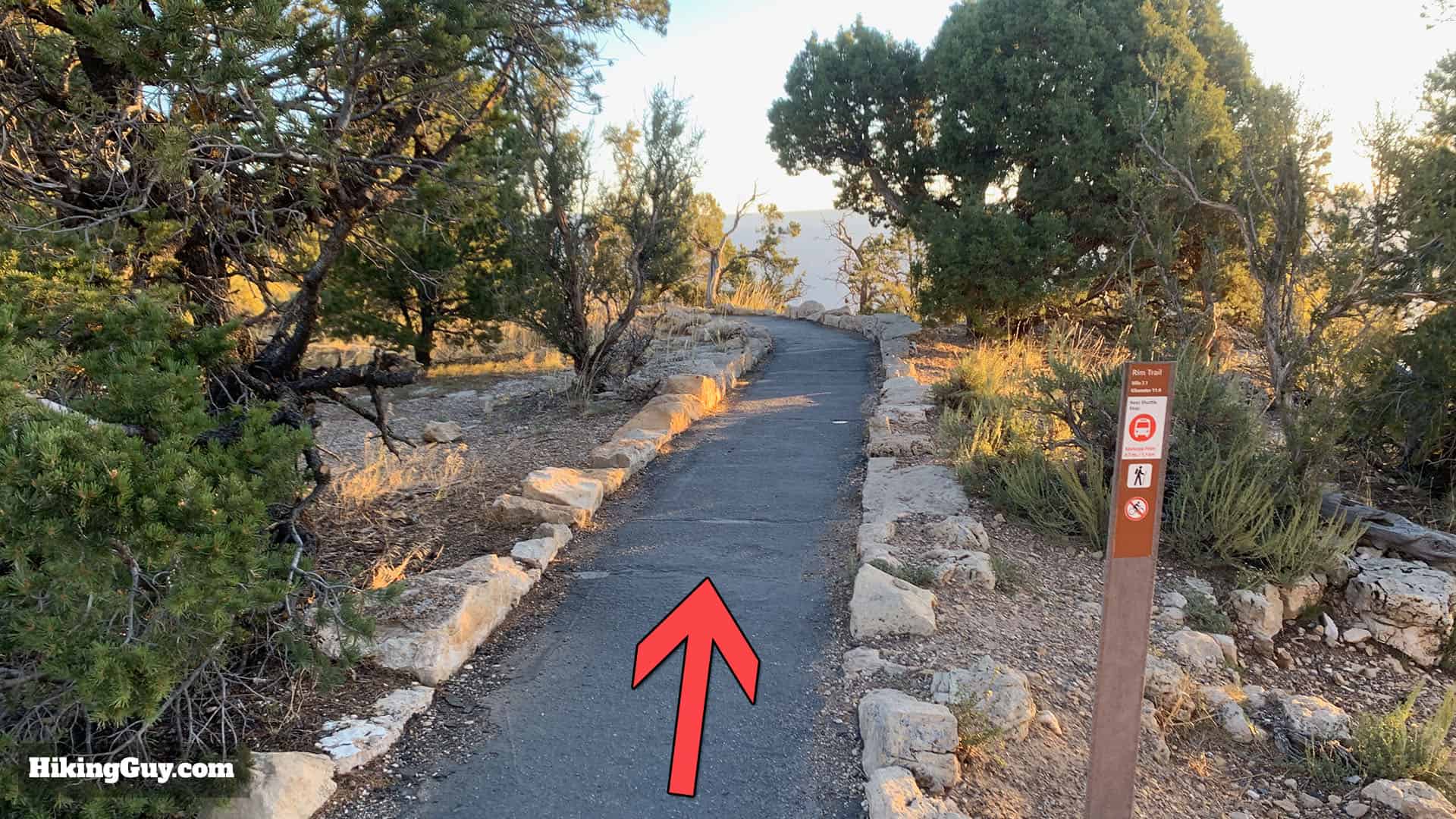
There are plenty of signs along the Rim Trail. You'd have to work hard to get lost on the Rim Trail.
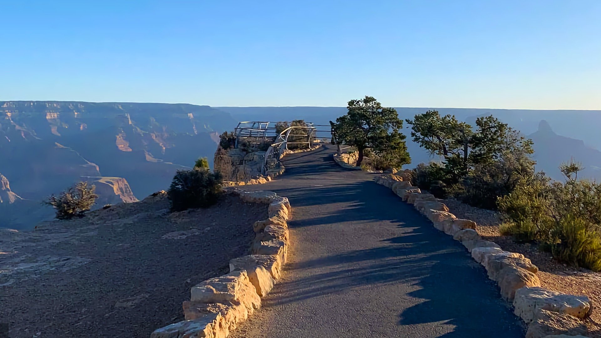
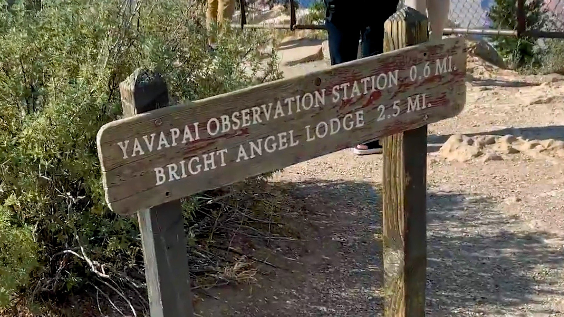
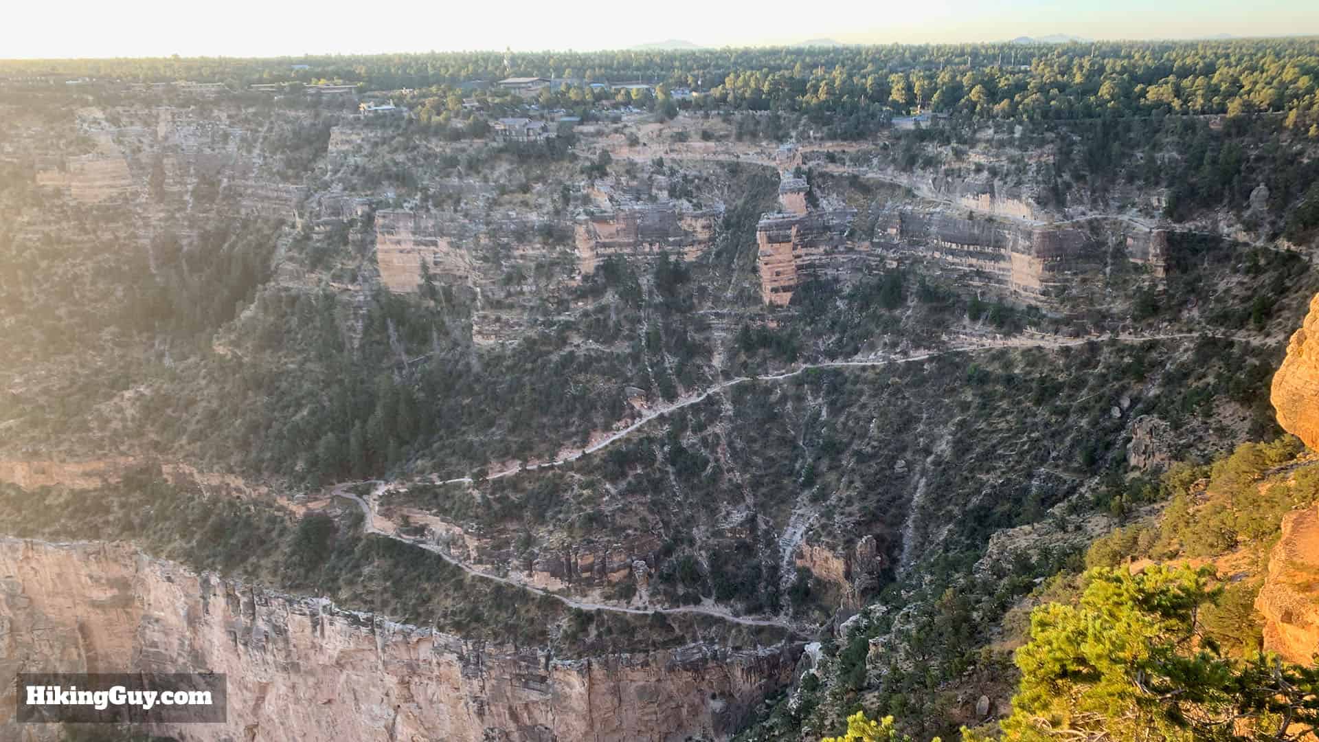
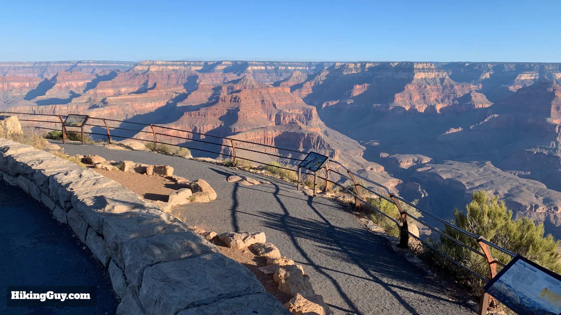
This stretch is the most popular part of the Rim Trail, connecting Mather Point and the Visitor Center with the Bright Angel Trailhead. It’s an easy, paved 3-mile walk with shuttle access at both ends, nonstop canyon views, and plenty of spots to stop along the way.
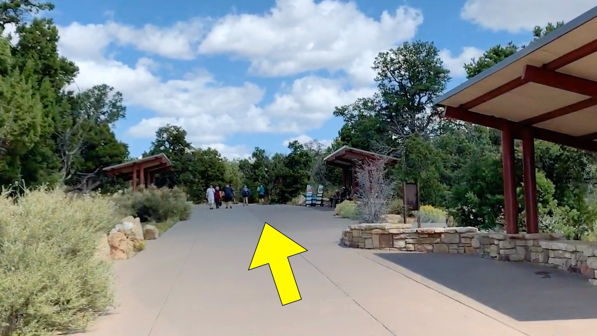
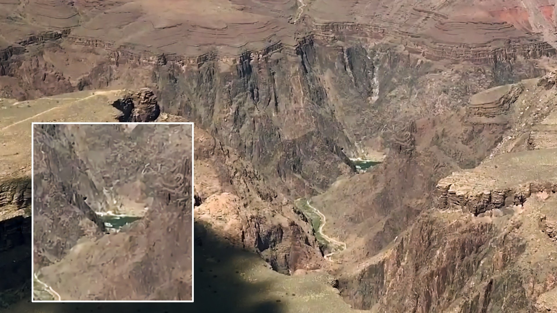
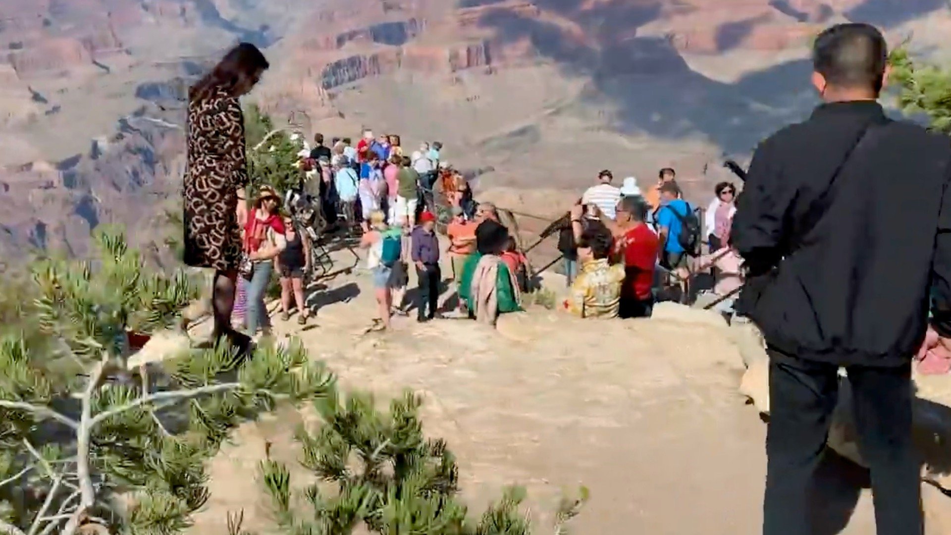
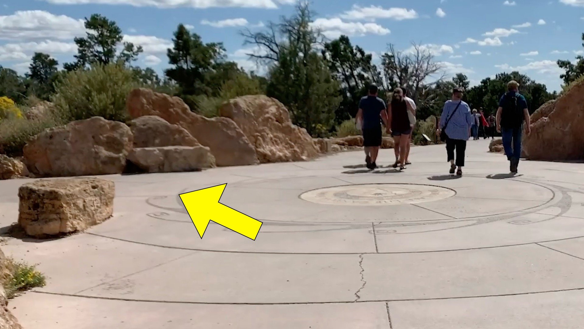
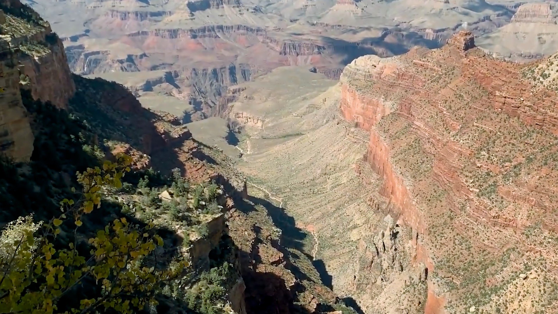
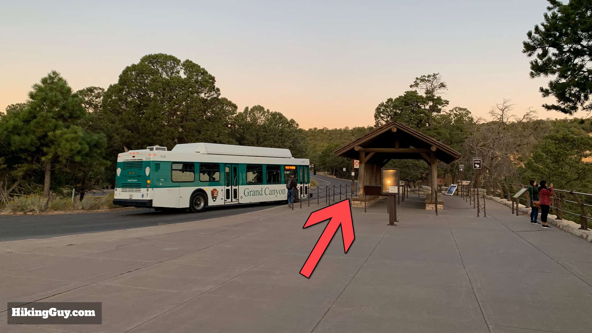
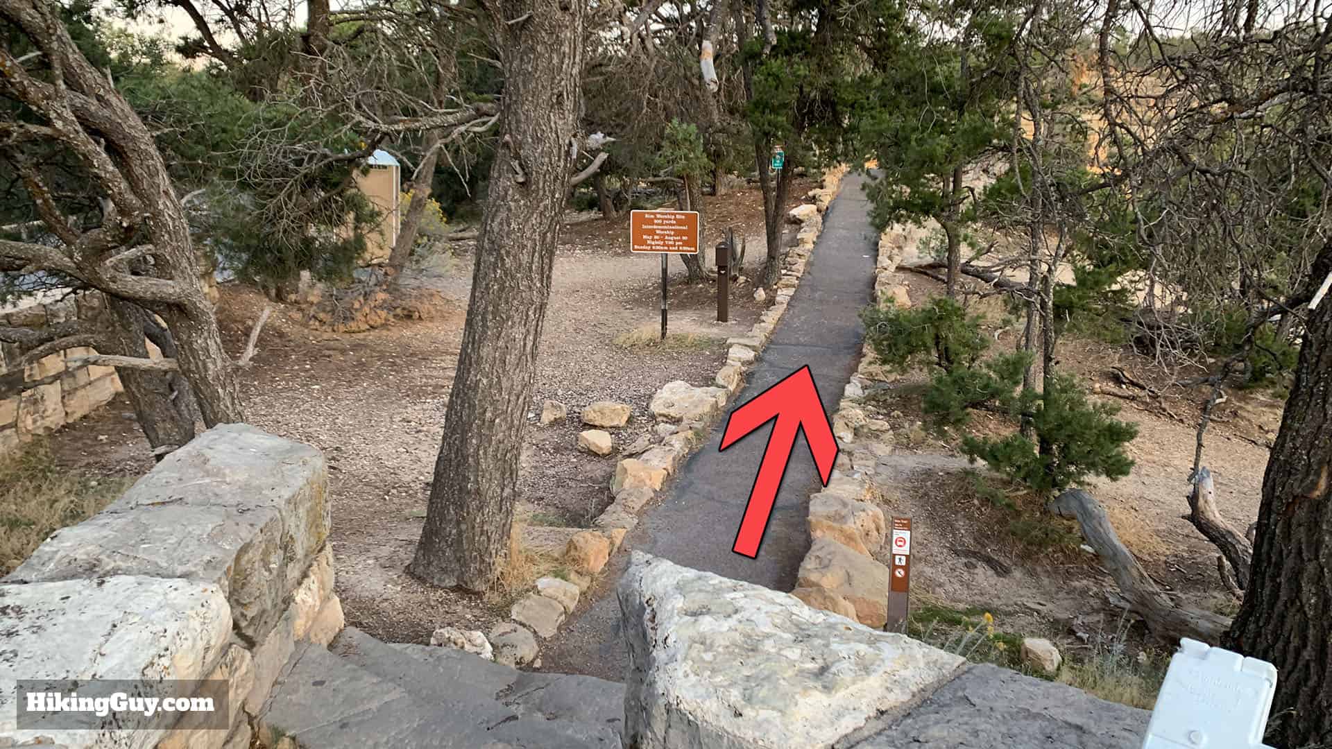
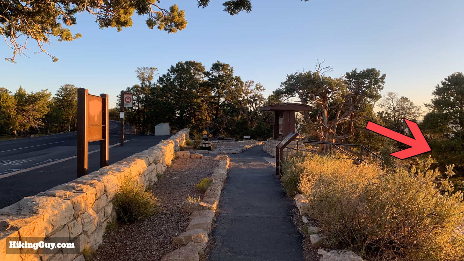
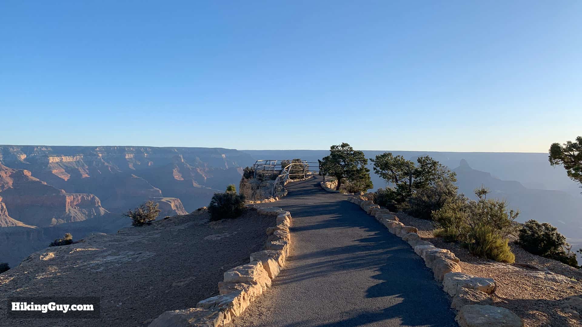
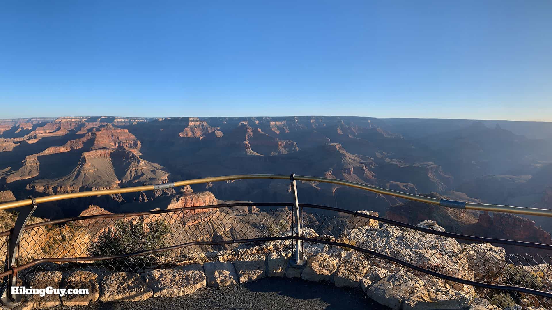
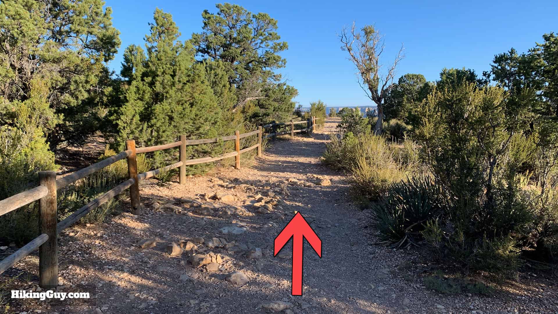
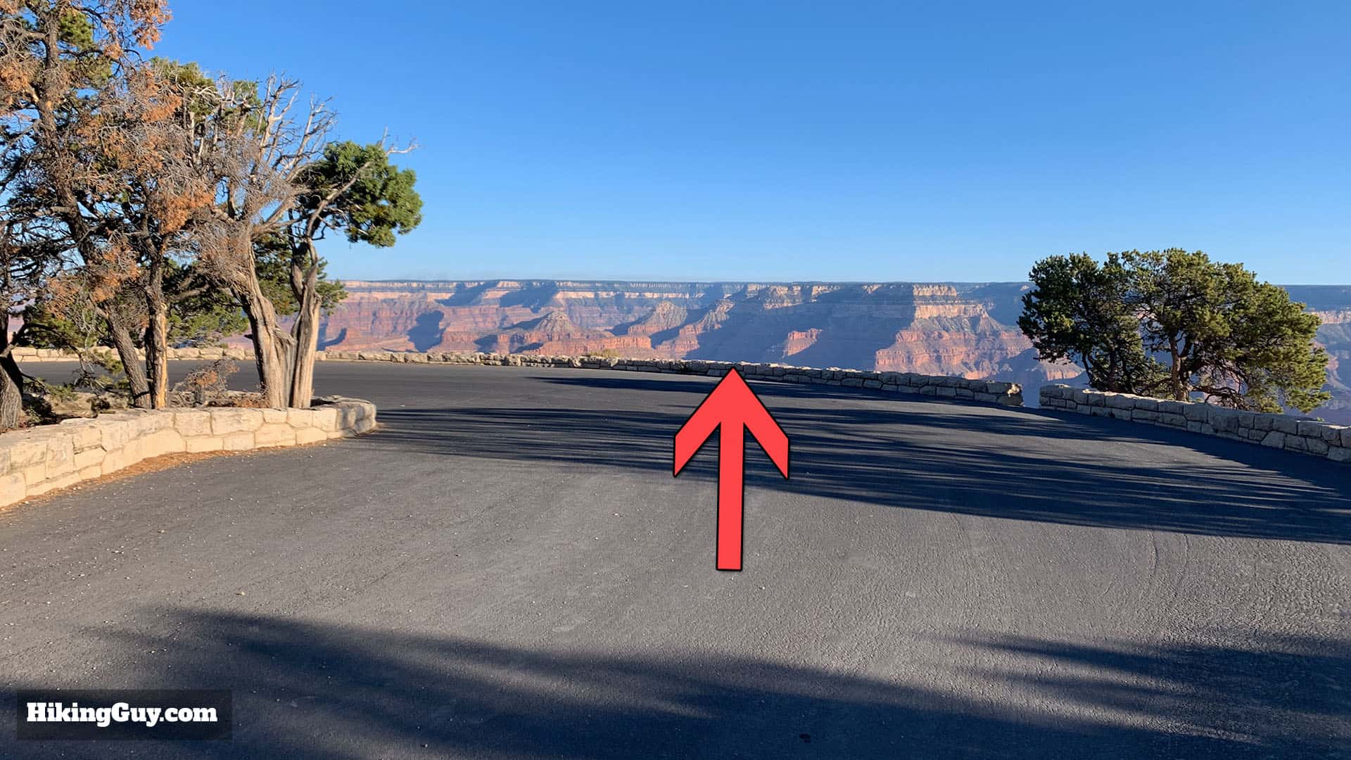
We'll be hiking right to left along the Rim Trail, from the Visitor Center to Bright Angel Trailhead.From the large open area in the middle of the Visitor Center, hike toward Mather Point, it will be up to the left. There will be lots of signs.Follow the wide paved path to Mather Point.Here is the most popular viewpoint in the Grand Canyon, Mather Point. This is what crowds look like midday in September.If you look carefully from Mather Point, you can catch a glimpse of the Colorado River below.
Mather Point is named after Stephen Tyng Mather, the first director of the National Park Service. He pushed hard to make the Grand Canyon a national park in 1919. Today, it’s one of the most visited viewpoints in the entire park, about 90% of visitors see the canyon for the first time from here.
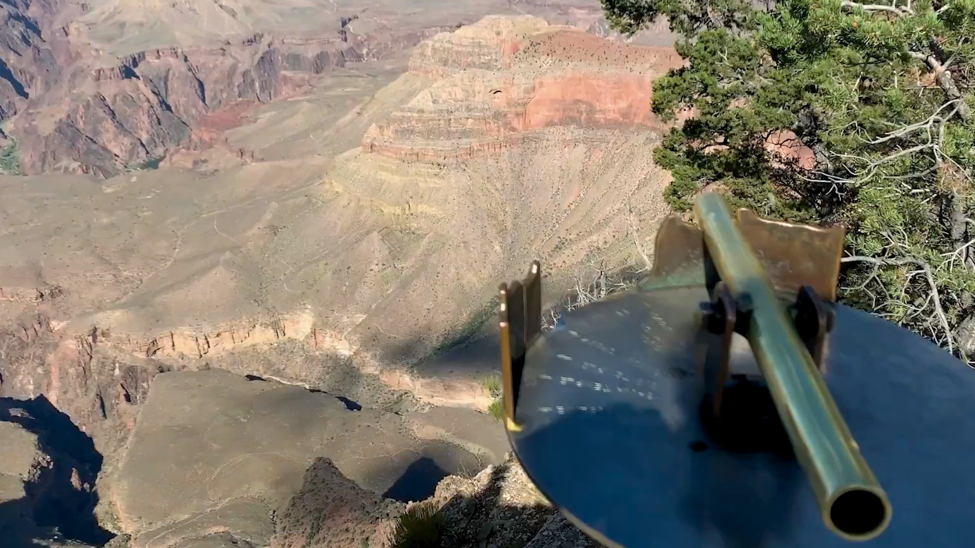
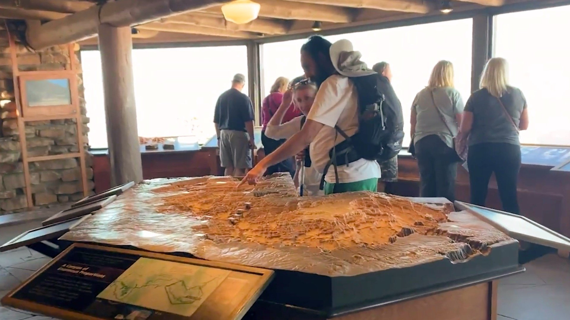
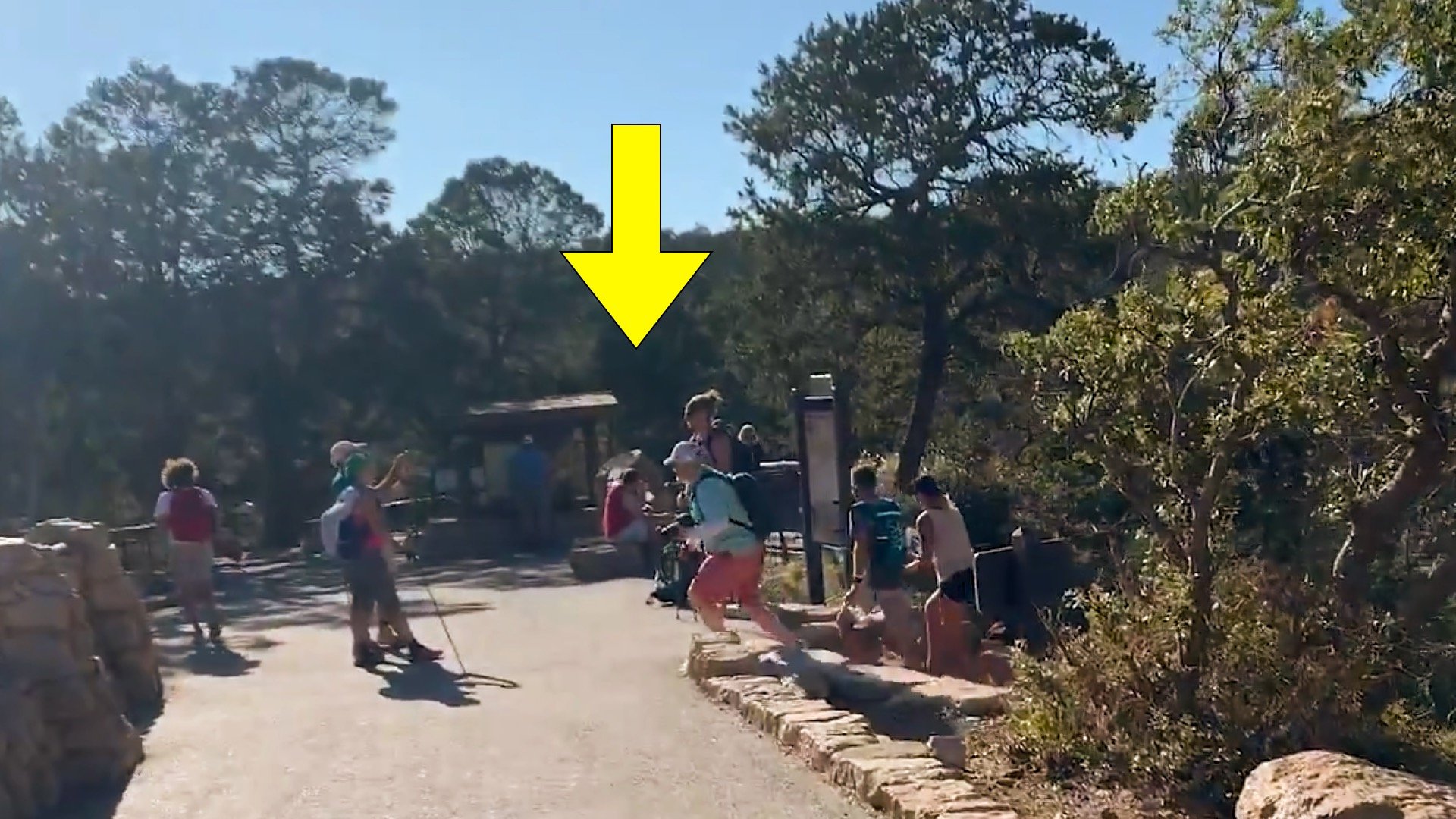
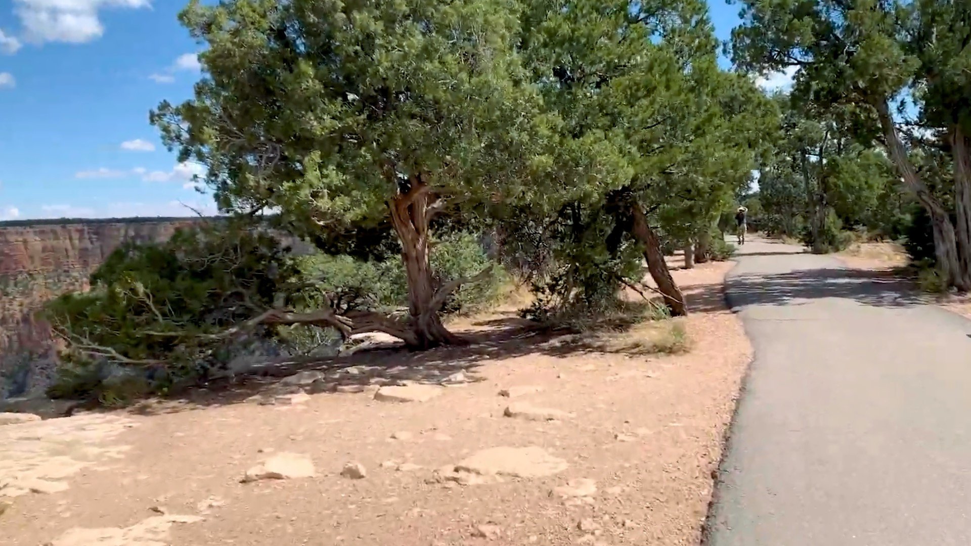
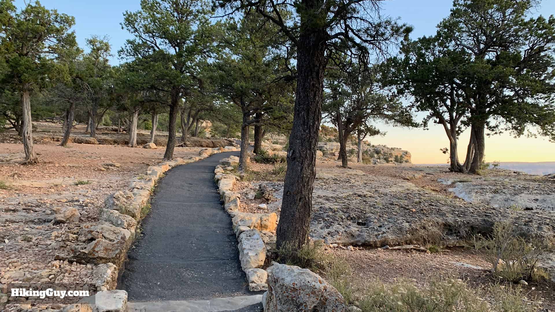
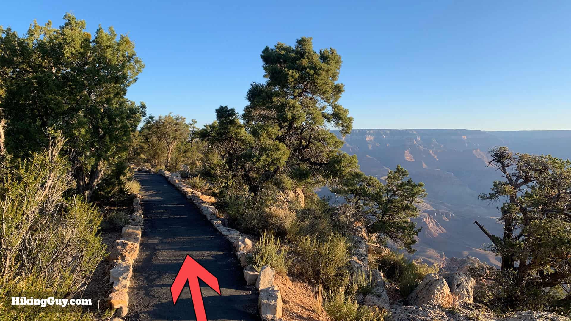
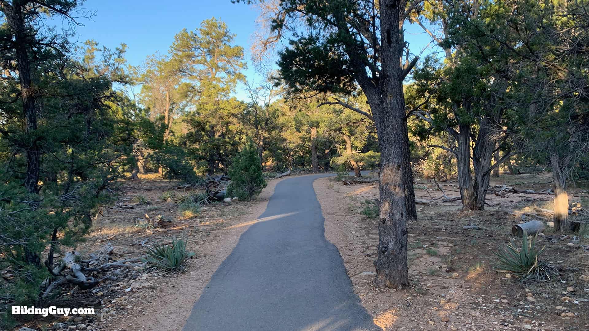
From Mather Point, head back but to the right to hop on the Rim Trail.There's another small fenced viewpoint right after Mather.This is what the Rim Trail looks like. Wide, paved, easy, and away from any dangers on the edge.One of the things I love about the Rim Trail here is that there are lots of interpretive displays and features like this viewing tube.After about 1 mile you'll reach the Yavapai Geology Museum, which you should go inside. There are great interpretive displays and panoramic views.
The Yavapai Geology Museum is named after the Yavapai people, one of the Native tribes of northern and central Arizona. The word “Yavapai” comes from their own language and translates to “people of the sun.”
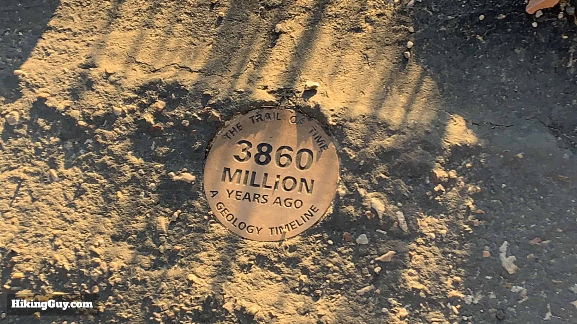
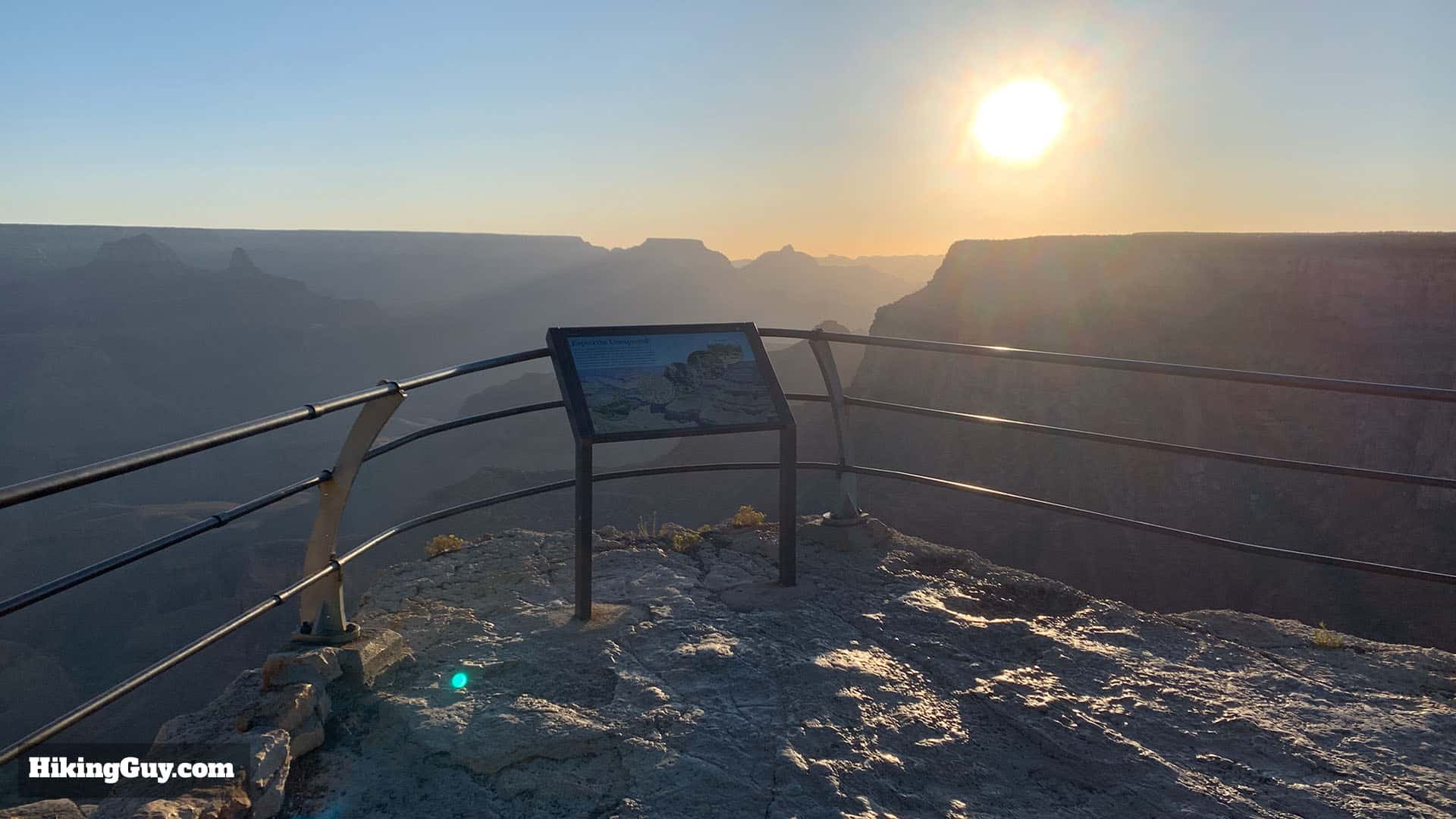
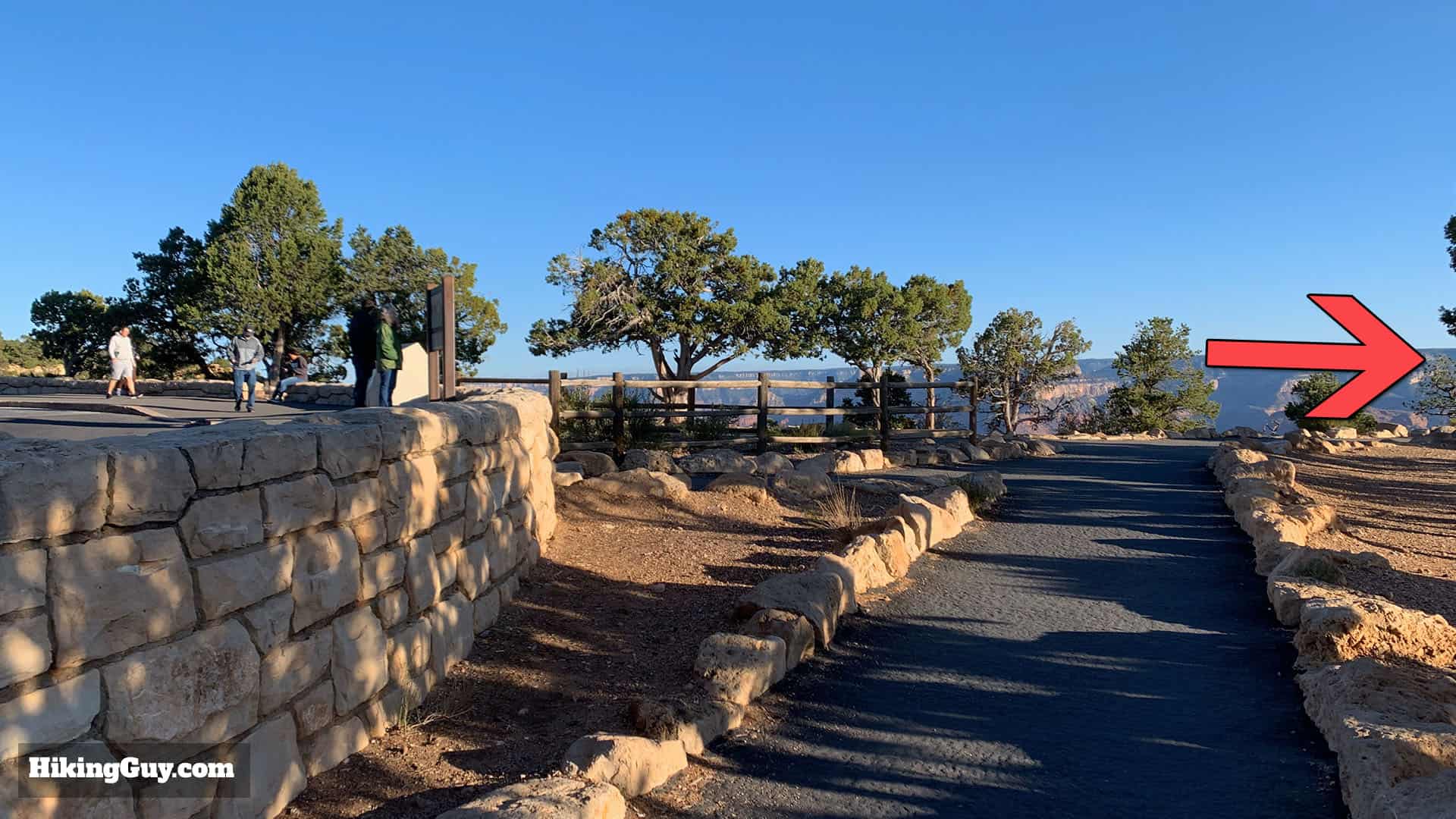
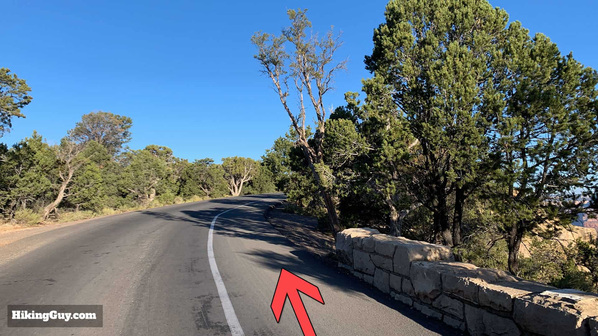
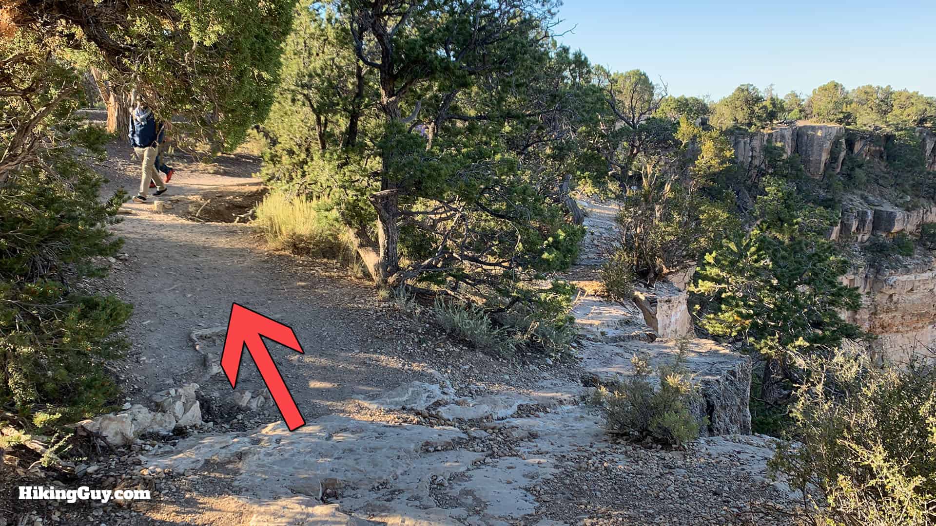
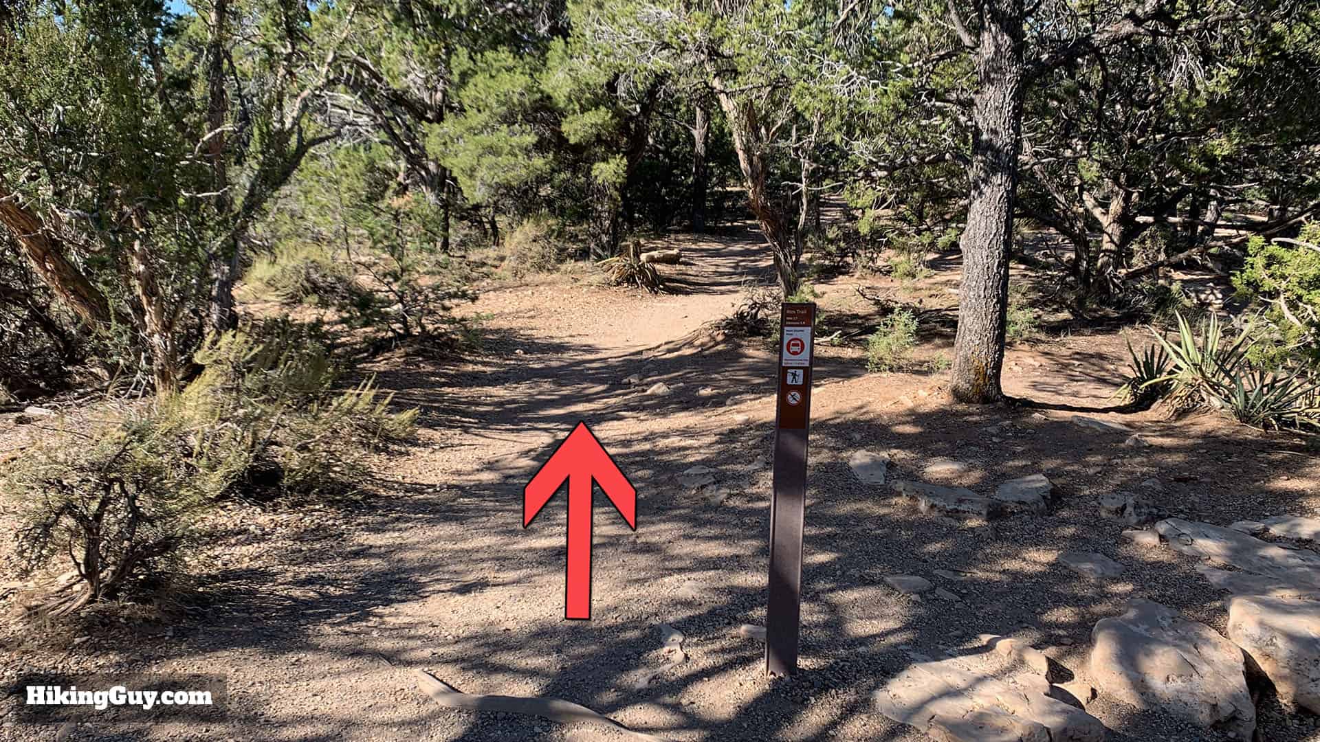
Right after the museum you'll start a stretch of the Rim Trail called "The Trail of Time" that shows you how the canyon was formed as you walk.There are a fair number of places where you can walk up to the edge. Remember, people have fallen to their deaths taking pictures too close, so be conservative.There are a few splits like this along the way. If you want to bail out to a shuttle, you can go left to the road. Otherwise continue right on the Rim Trail. There will be trail signs as well. Overall, stay right along the rim.At about 2.5 miles you'll reach Verkamp’s Visitor Center, once a family-run curio shop opened in 1906, today a visitor center focused on Grand Canyon history.
Verkamp’s was a store from 1906 until 2008 when the NPS took it over.
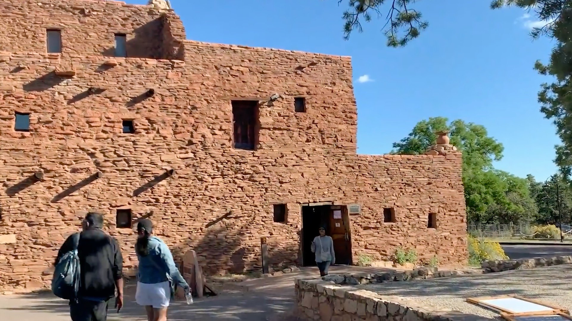
Right after that is the Hopi House, a gift shop showcasing native arts & crafts.
Hopi House opened in 1905, designed to resemble a traditional Hopi dwelling. It was built as a place for Hopi artisans to live, work, and sell their crafts
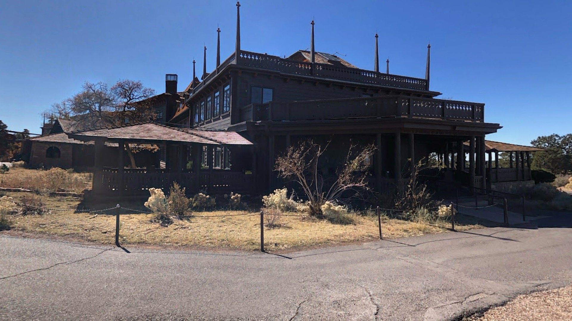
Next is the El Tovar Hotel, the flagship lodge on the South Rim, built in 1905.
If you've ever seen National Lampoon's Vacation, the exterior of the hotel was used in the Grand Canyon scene.
You'll pass three more lodges, Kachina, Thunderbird, and Bright Angel.
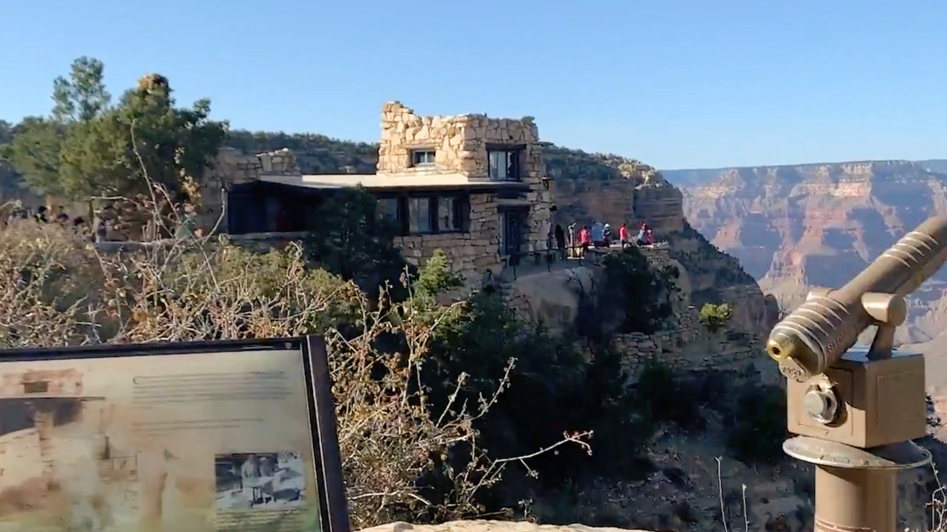
Then you'll see Lookout Studio, perched right on the rim next to Bright Angel Trail, was designed in 1914 to mimic the natural stone of the canyon walls.And shortly after that, you'll reach the Bright Angel Trailhead, the end of this Rim Trail hike!
From here, you have some options:
Hike back the way you came.
Hop on a shuttle bus at the Bright Angel Lodge and go back to the Visitor Center.
If you want to keep going, you can continue to hike 3 (to Hermit's Rest) and hike as far as you'd like, taking a shuttle bus back when you're done.
If you have the fitness, you can also venture on the Bright Angel Trail.
Hike 2: Visitor Center to South Kaibab Trail
The stretch of the Rim Trail from the Visitor Center to the South Kaibab Trail is one of the quieter ways to see the canyon. This 2.7-mile paved section connects some of the best viewpoints, including Mather Point and Pipe Creek Vista, and you can hop on the free shuttle if you don’t want to hike it out and back. It’s a mellow walk with constant rim views and easy access from the main visitor area.
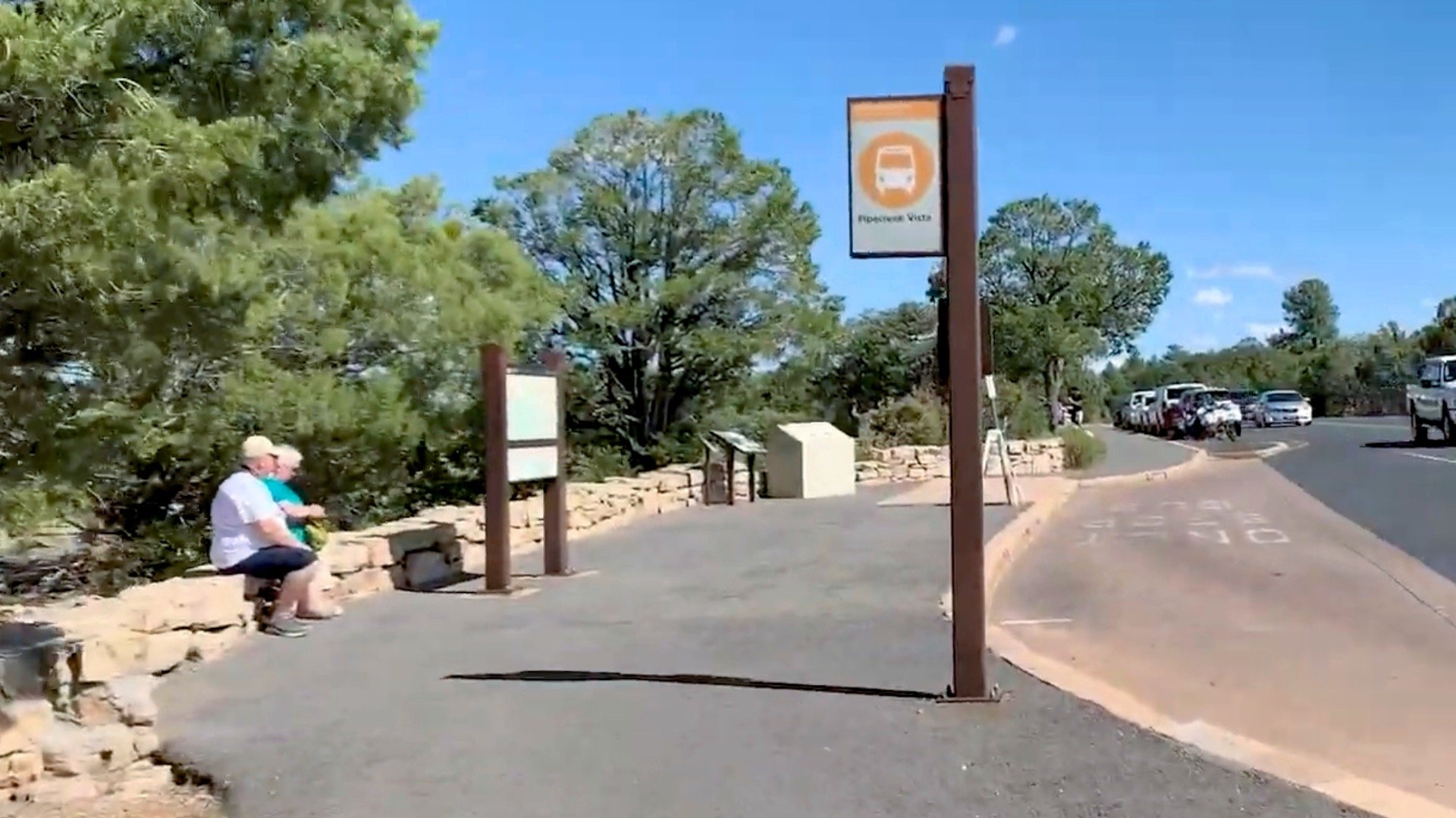
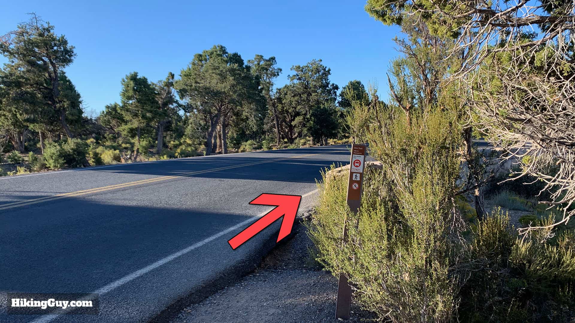
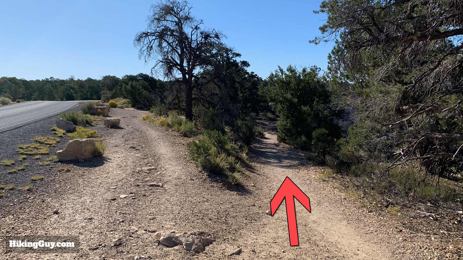
This section of Rim Trail takes you around Pipe Creek, away from the hubbub of the main South Rim area.From the large open area in the middle of the Visitor Center, hike toward Mather Point. There will be lots of signs.Follow the wide paved path to Mather Point.Enjoy the views from Mather Point.If you look carefully from Mather Point, you can catch a glimpse of the Colorado River below.Go back the way you came, but instead of heading back to the Visitor Center, make the left on the Rim Trail.You'll have plenty of signs along the way, just follow the arrows for the Rim Trail.Within minutes you'll be away from the crowds on the peaceful Rim Trail, endless Grand Canyon views to your left.You'll see some unofficial trails heading off to the rim, avoid them and stay on the paved path.At times the trail strays away from the rim. You might even see some damage from the 2013 Long Jim 3 fire.At about 1.8 miles you'll reach Pipe Creek Vista.Enjoy the views down to Pipe Creek.Shortly after that you'll come to the South Kaibab Trail shuttle stop, where you'll hop on a bus back.You can continue a bit farther and check out the South Kaibab Trail, where many people start their Rim to Rim hike.
From here, you have some options:
Hike back the way you came.
Hop on a shuttle bus at the South Kaibab Trailhead and go back to the Visitor Center.
If you have the fitness, you can also venture on the South Kaibab Trail to Ooh Ahh Point.
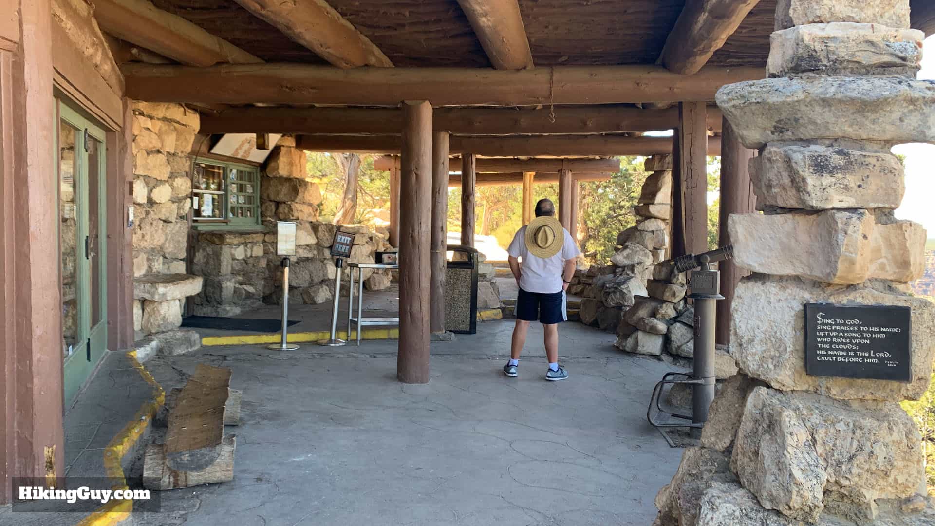
Hike 3: Bright Angel to Hermits Rest
The Rim Trail from Bright Angel to Hermit’s Rest is the longest and most spectacular stretch, about 8.5 miles of nonstop canyon views with far fewer crowds than the main village area. The hike passes every major west rim overlook, from Maricopa and Hopi Points to Pima Point, and if you get tired you can always catch the free shuttle that runs alongside the trail. It’s the best way to see the Grand Canyon’s South Rim without ever dropping into the canyon.
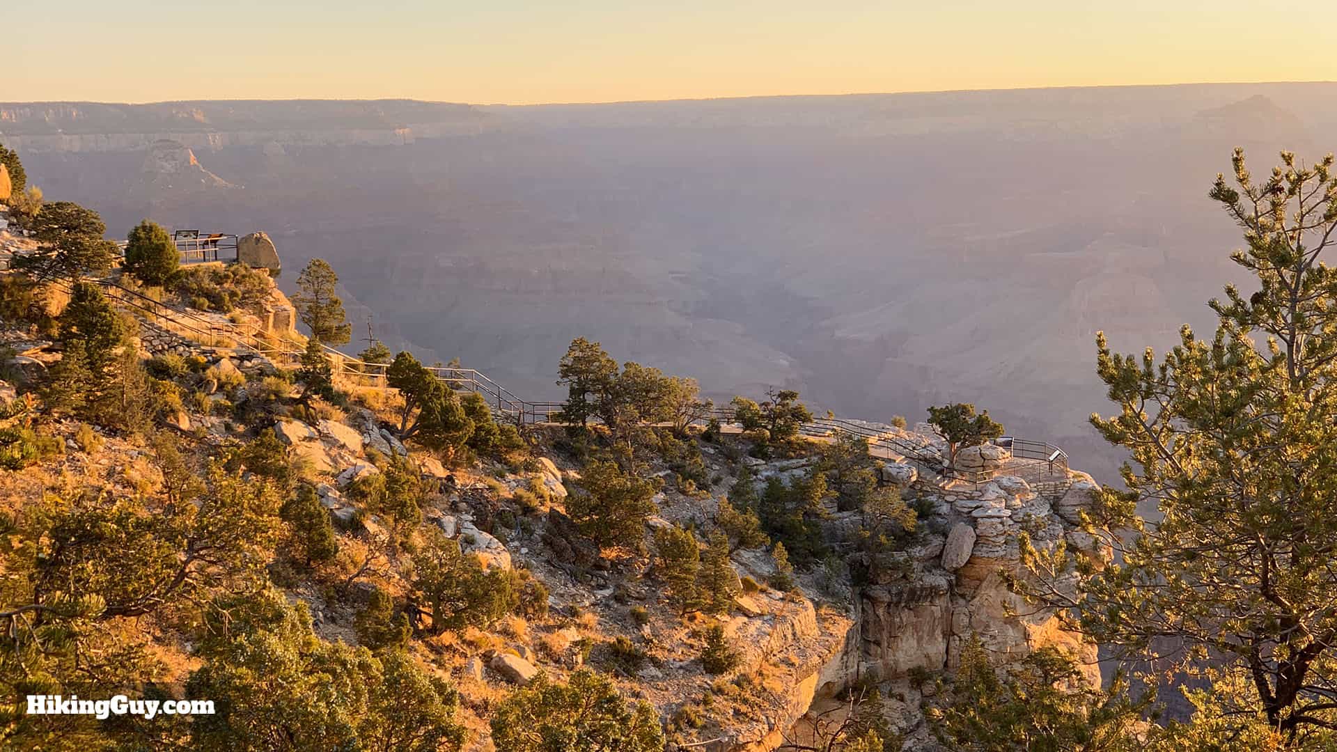
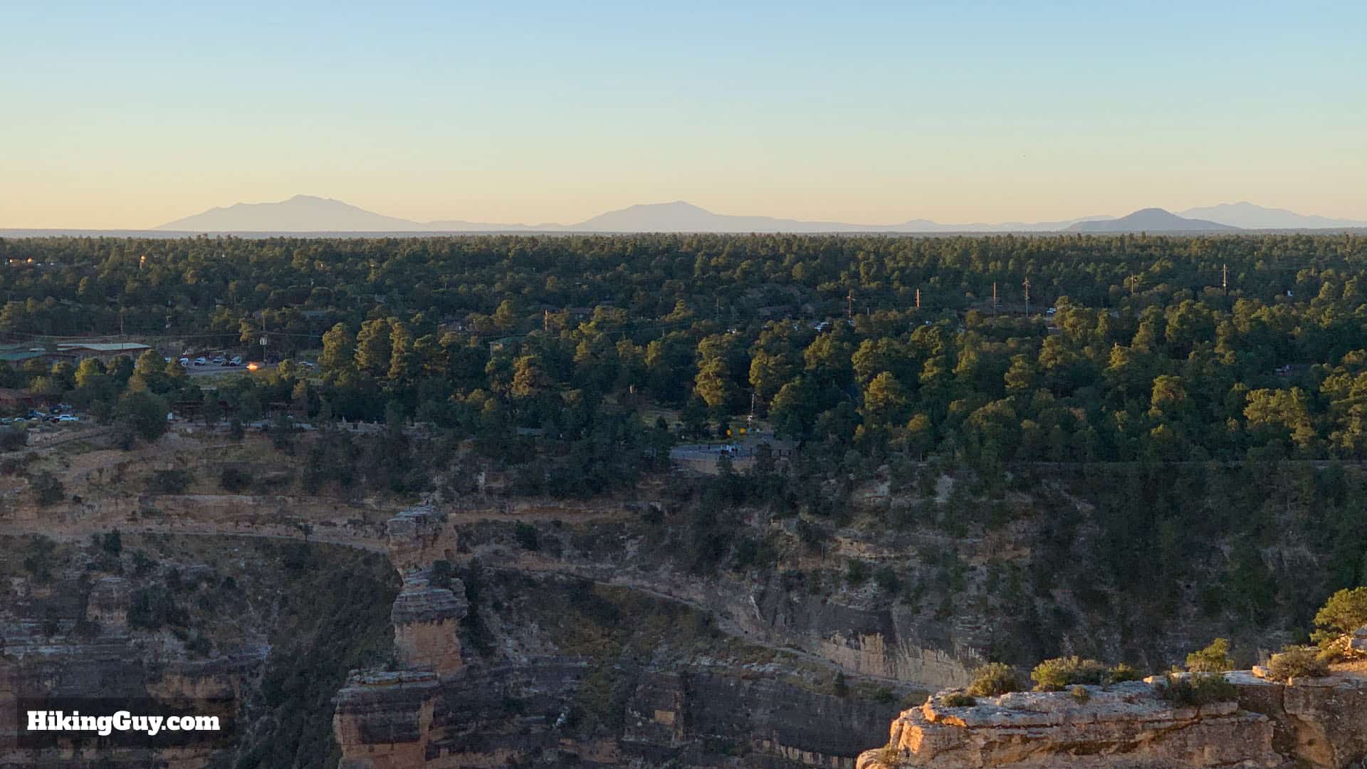
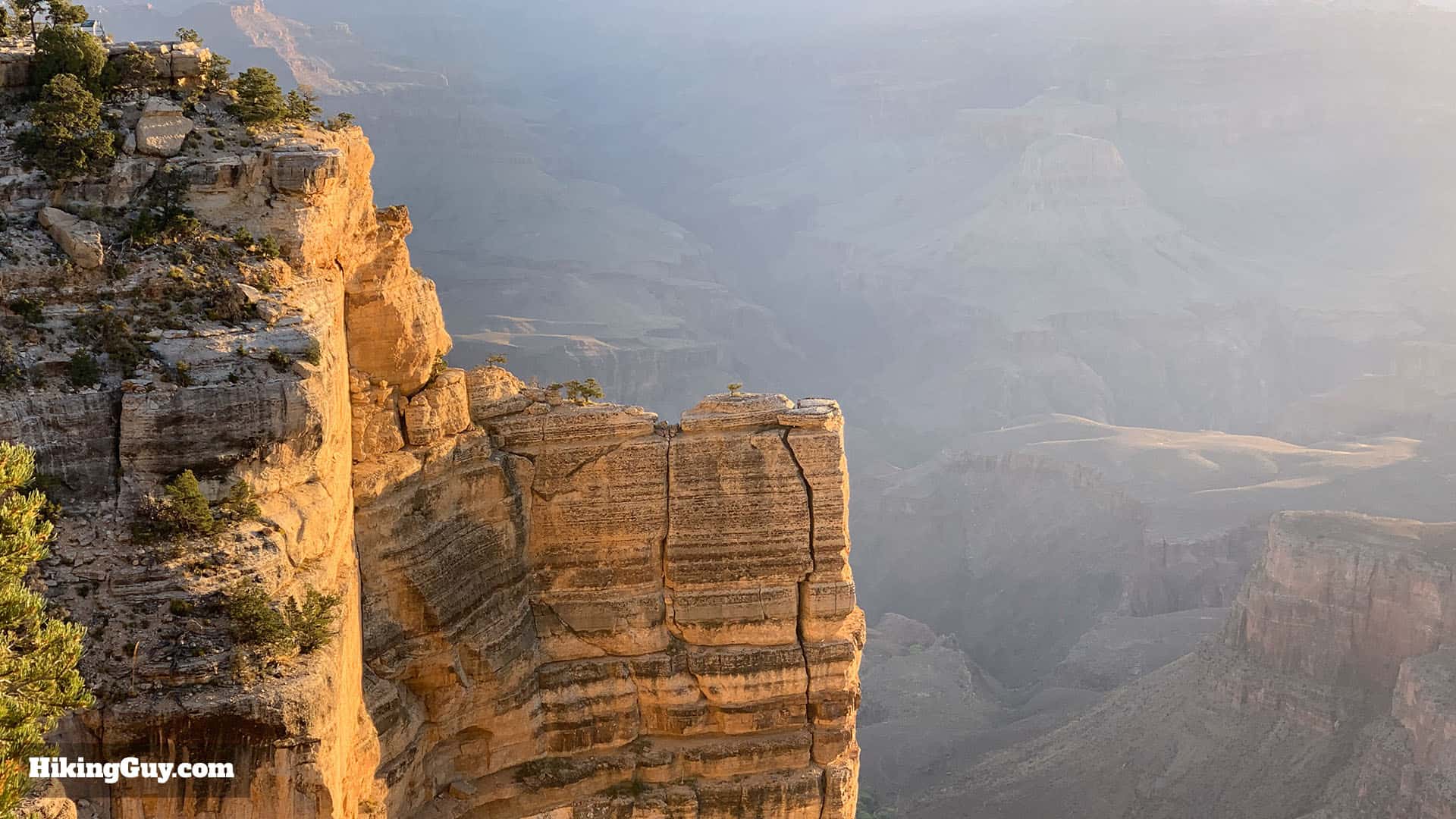
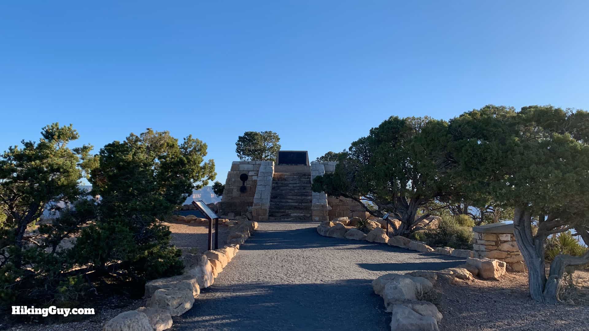
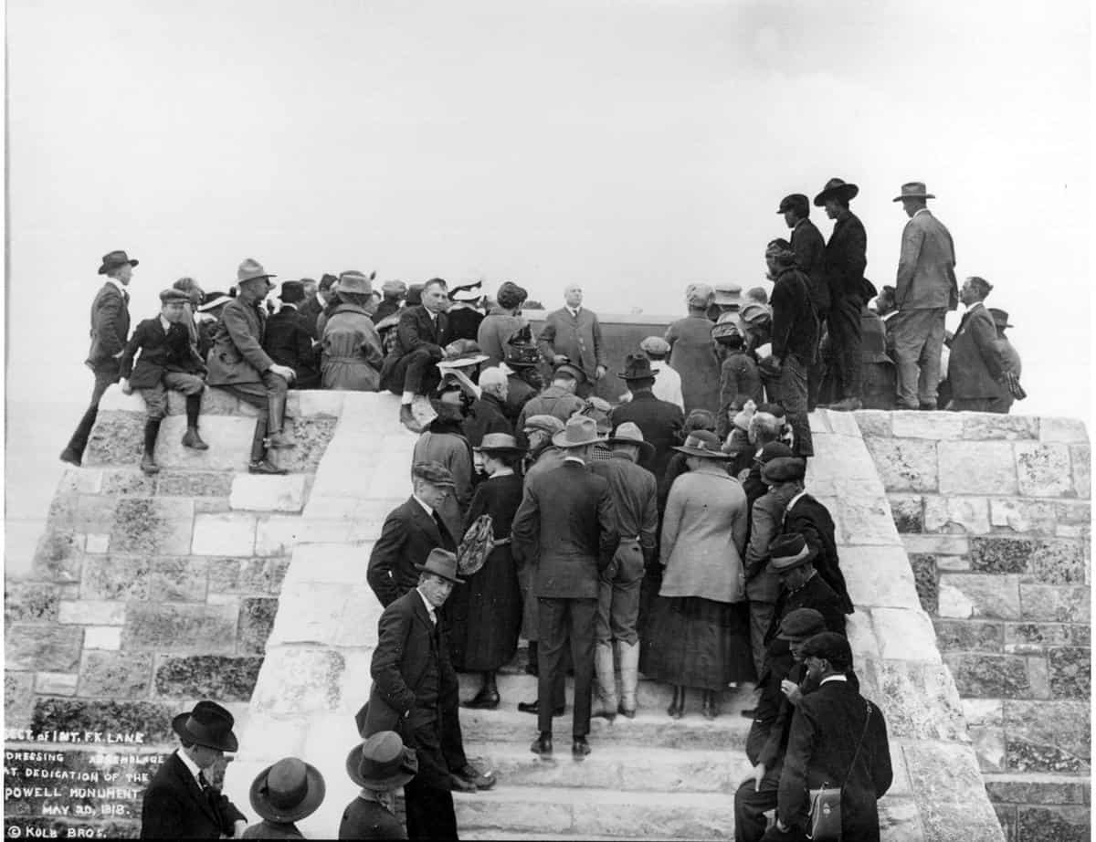
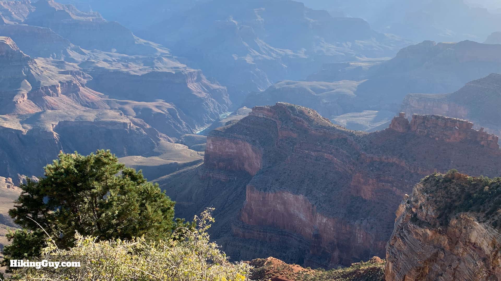
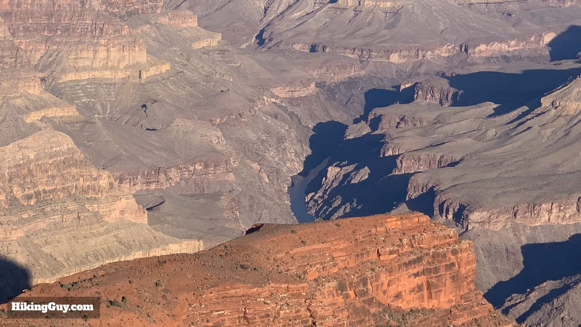
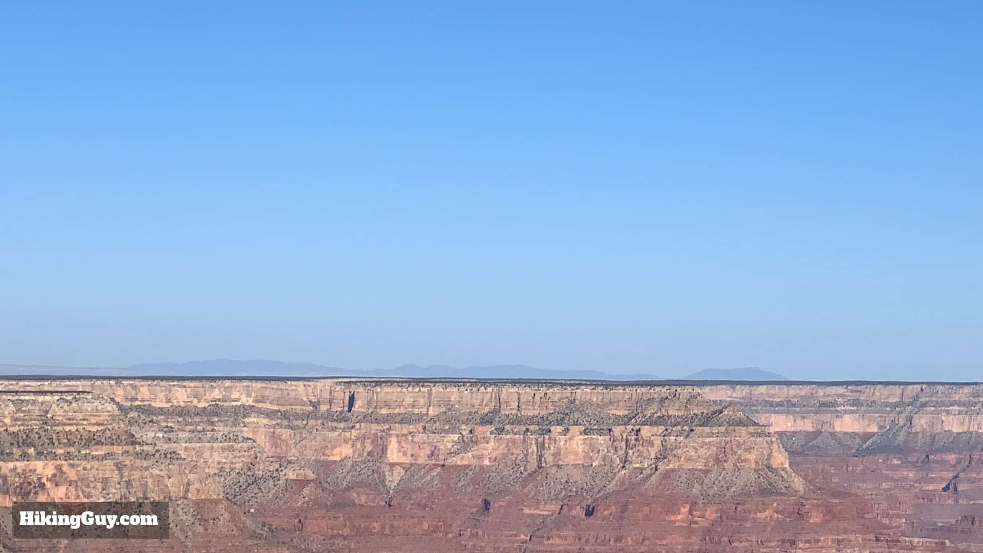
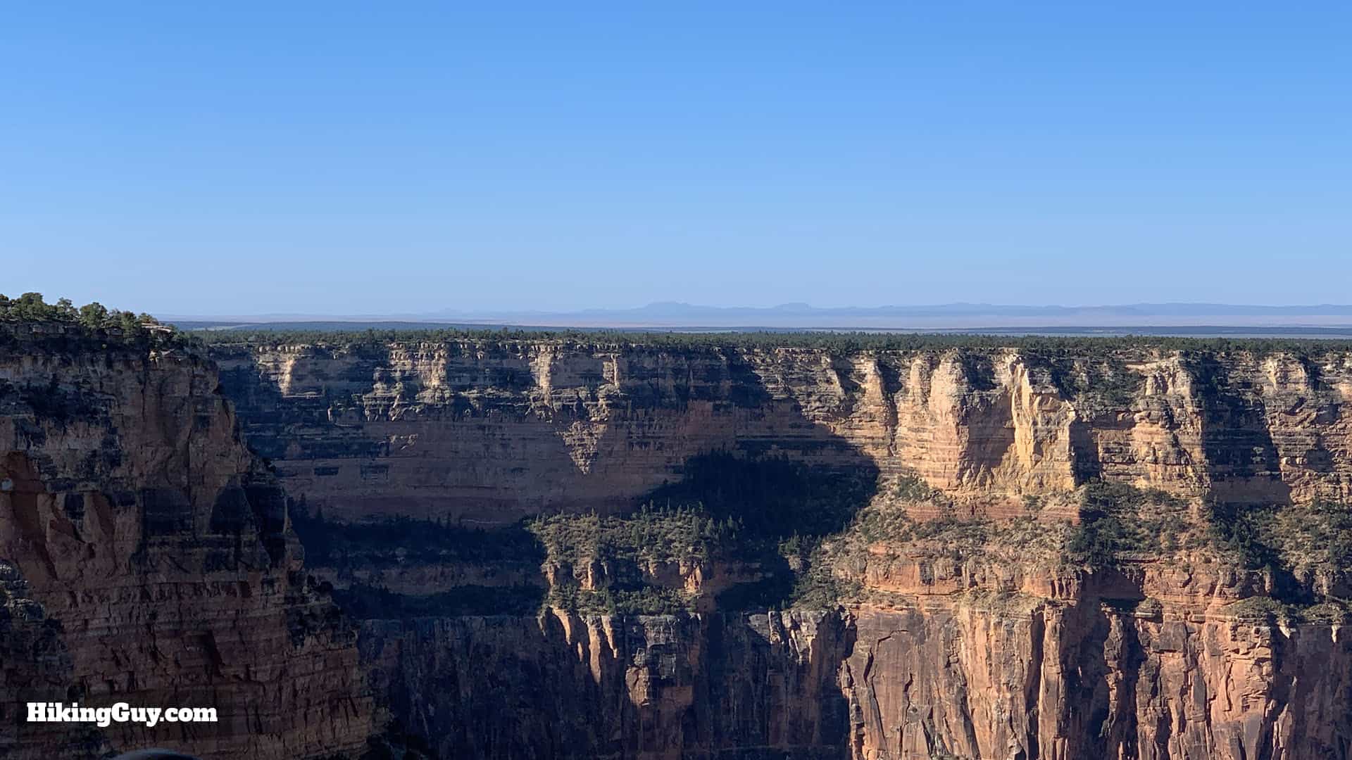
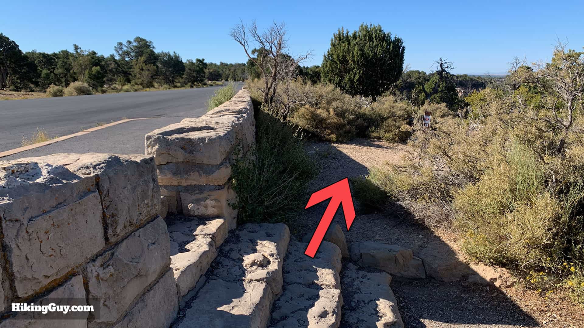
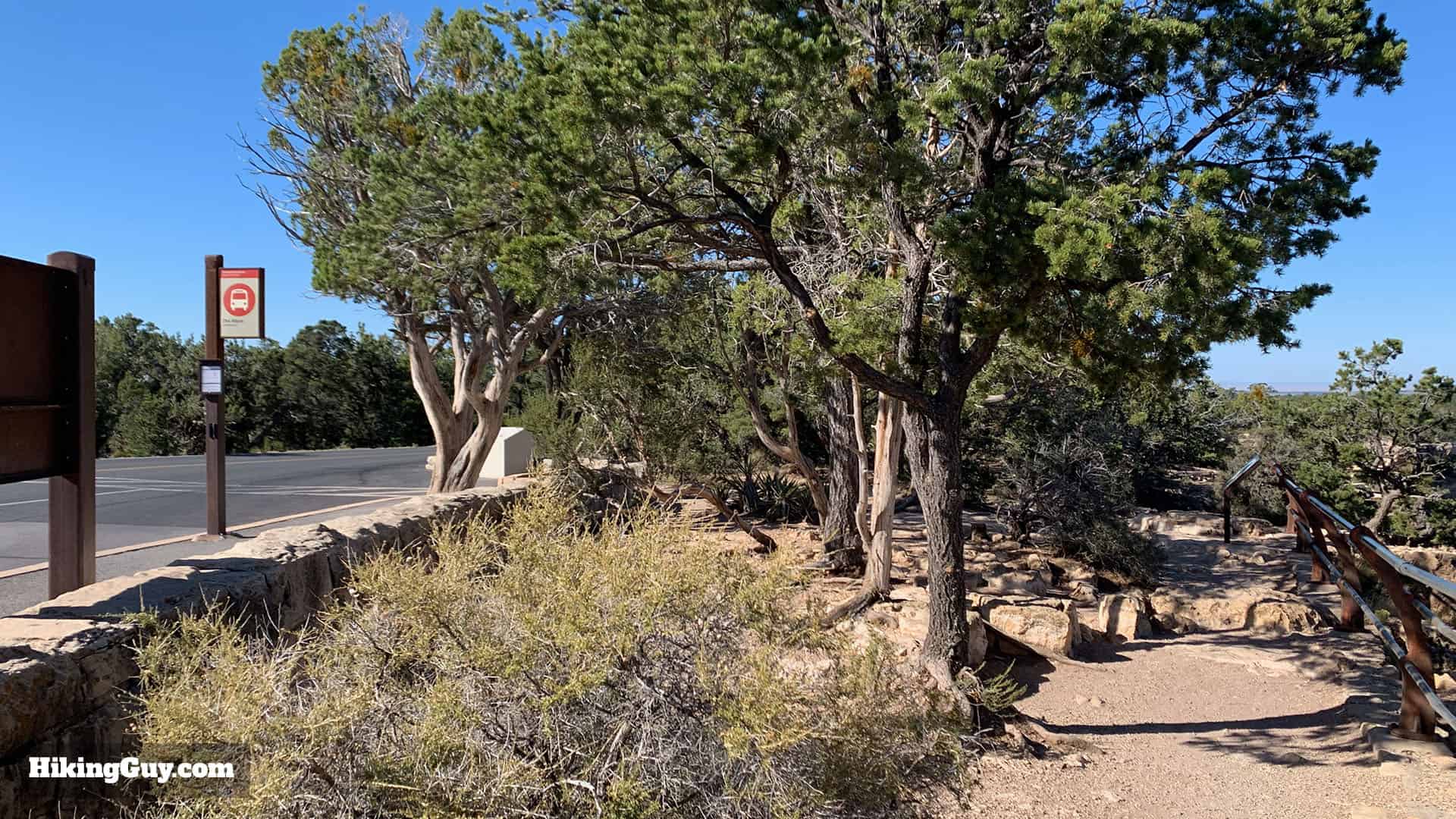
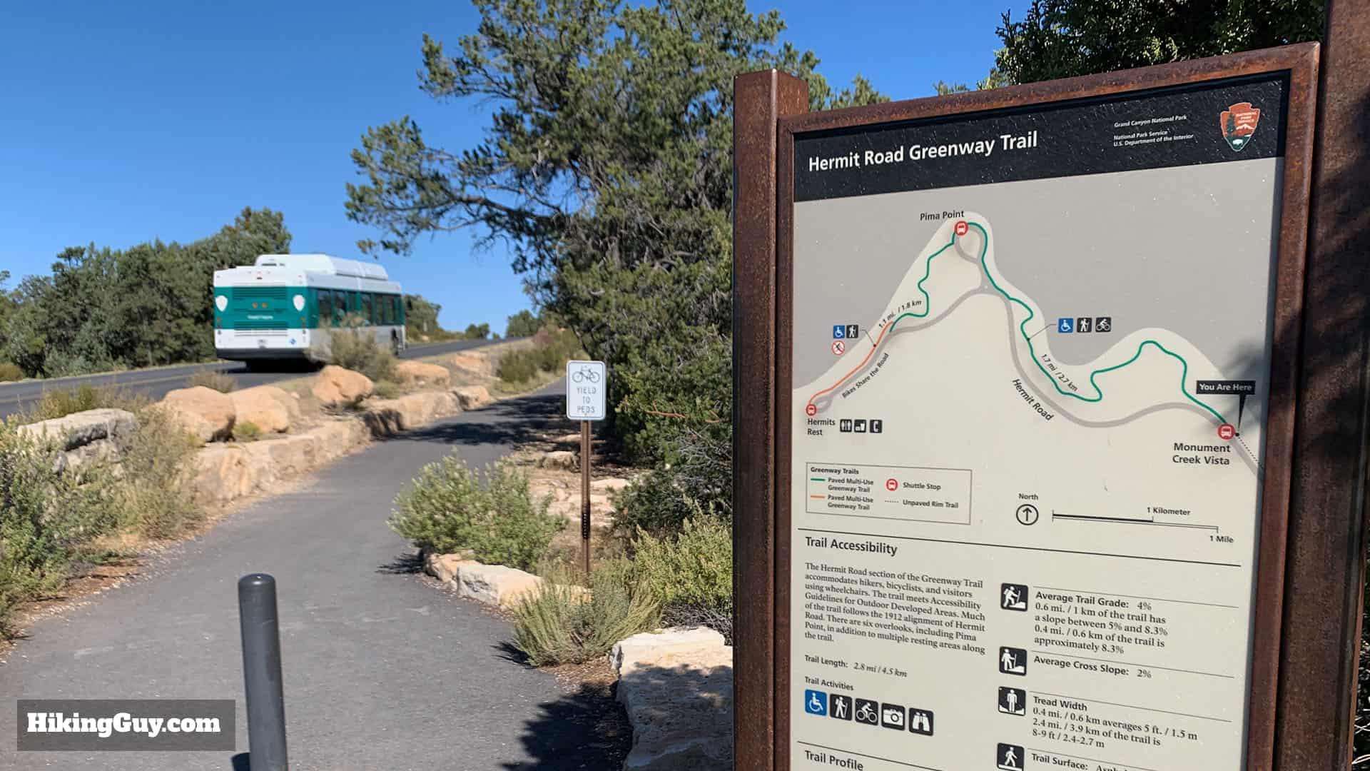
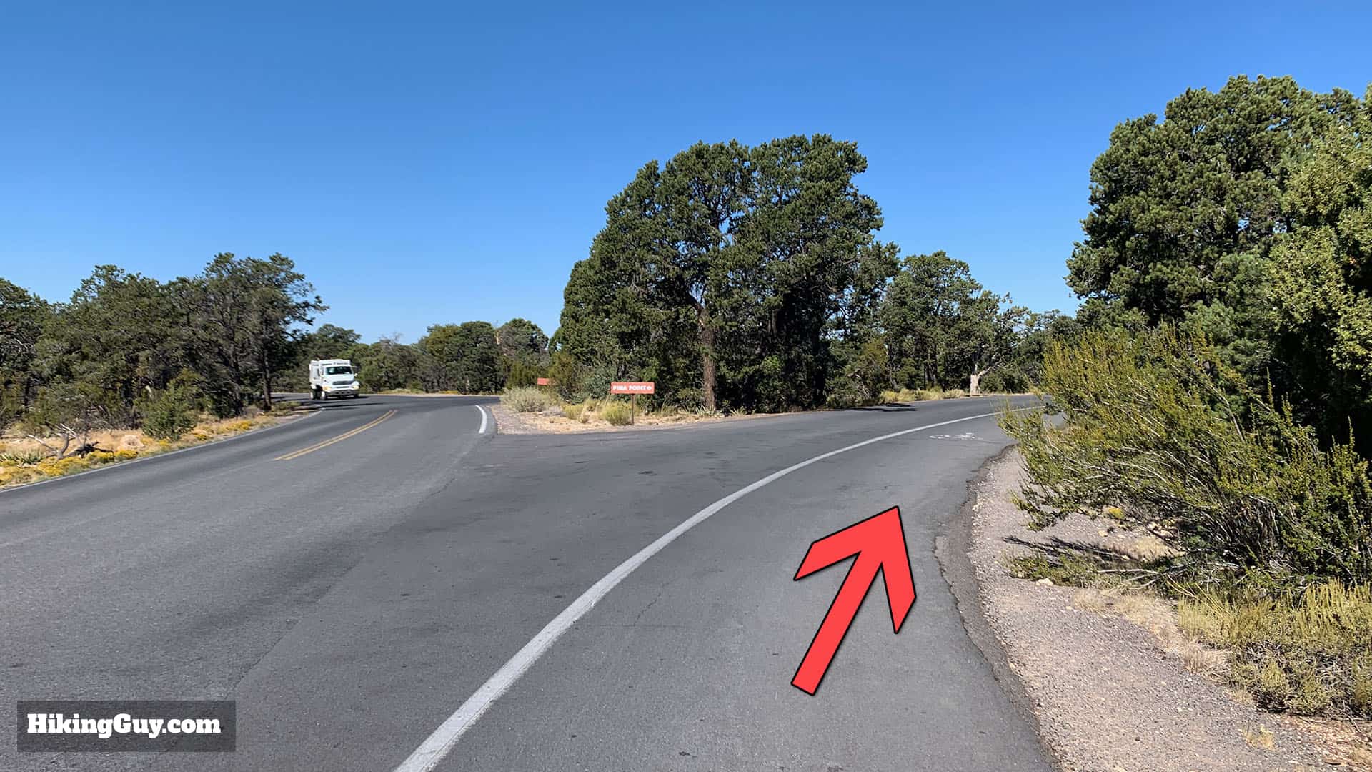
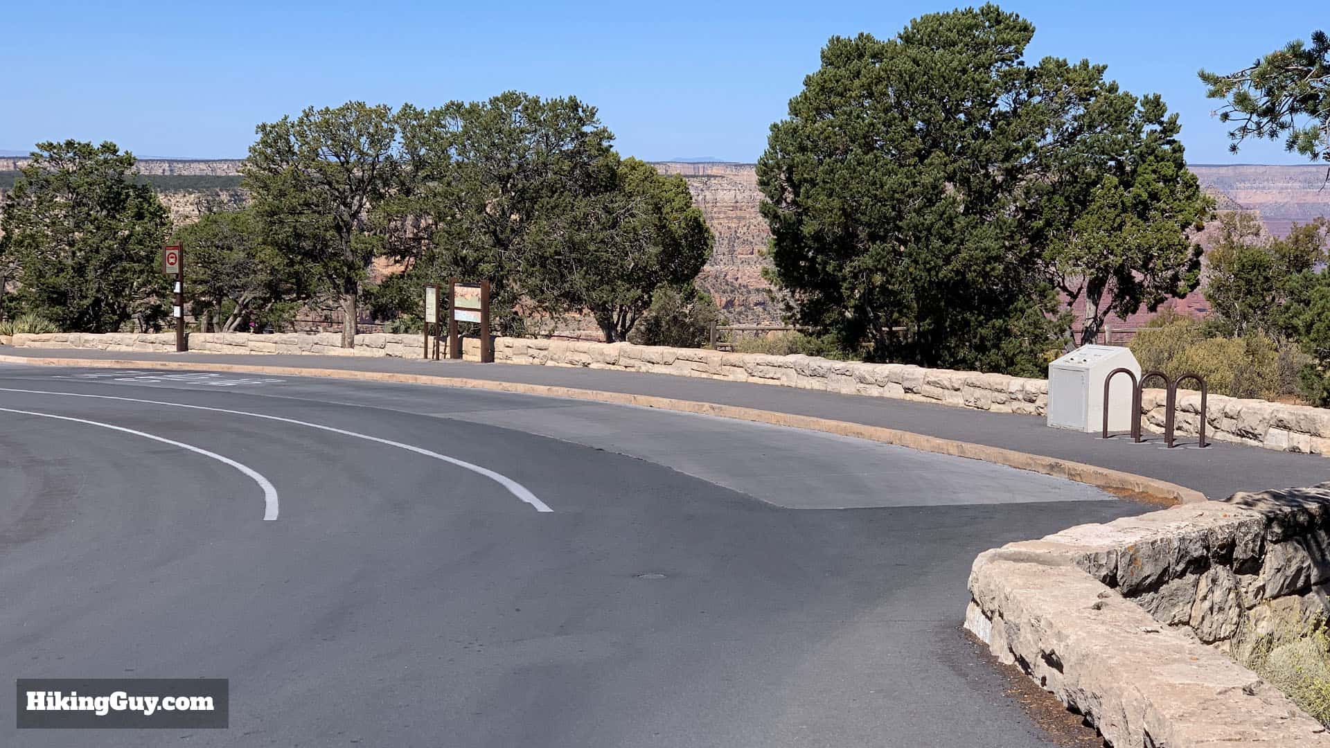
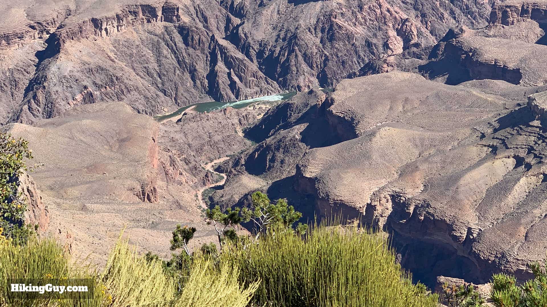
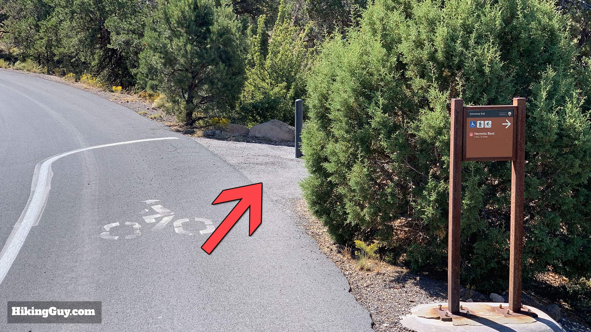
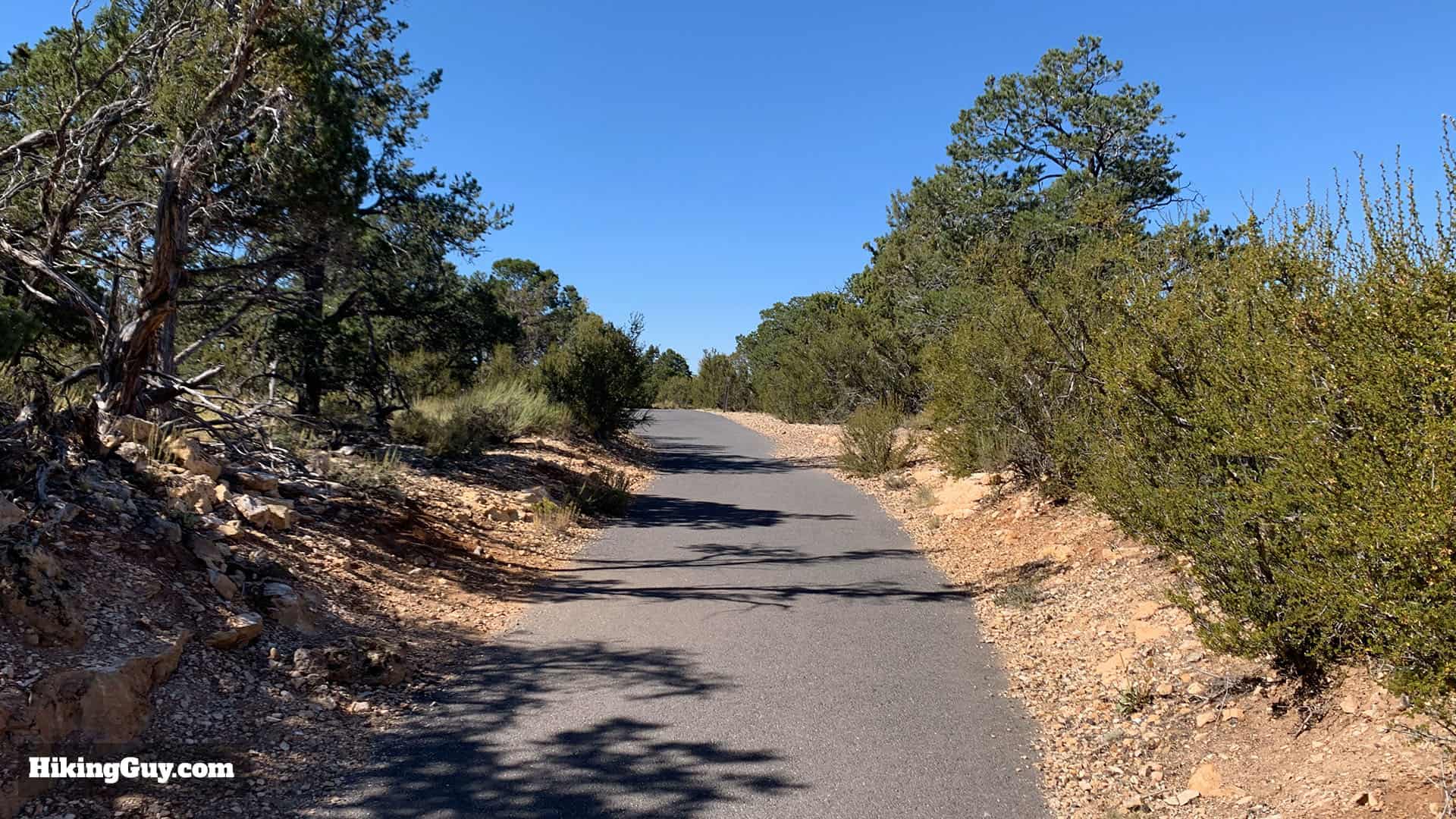
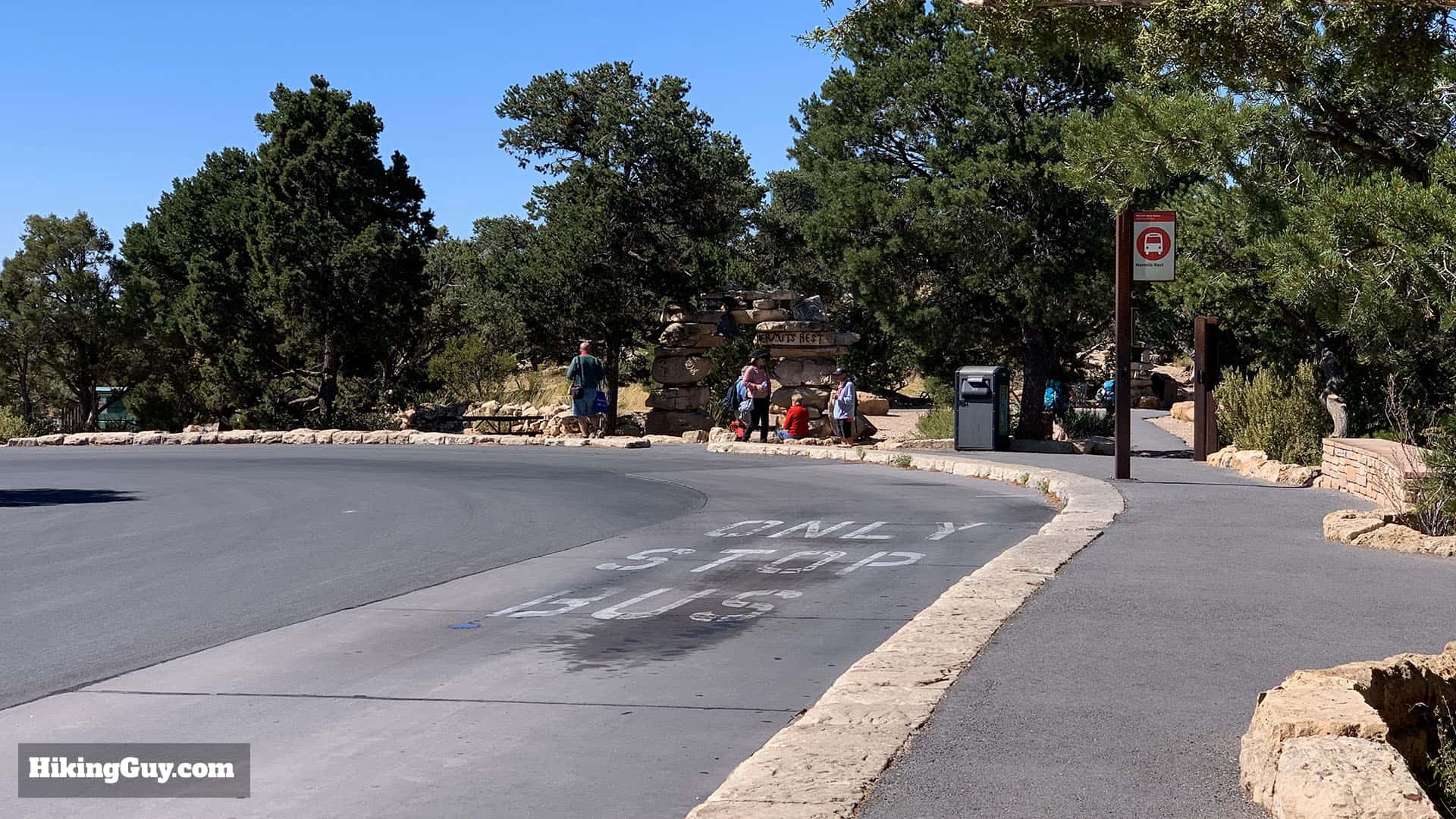
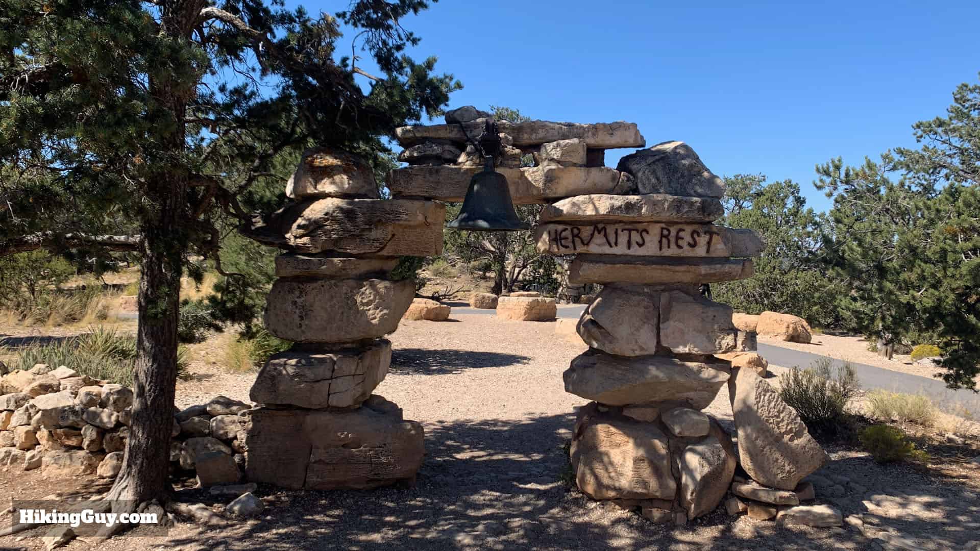
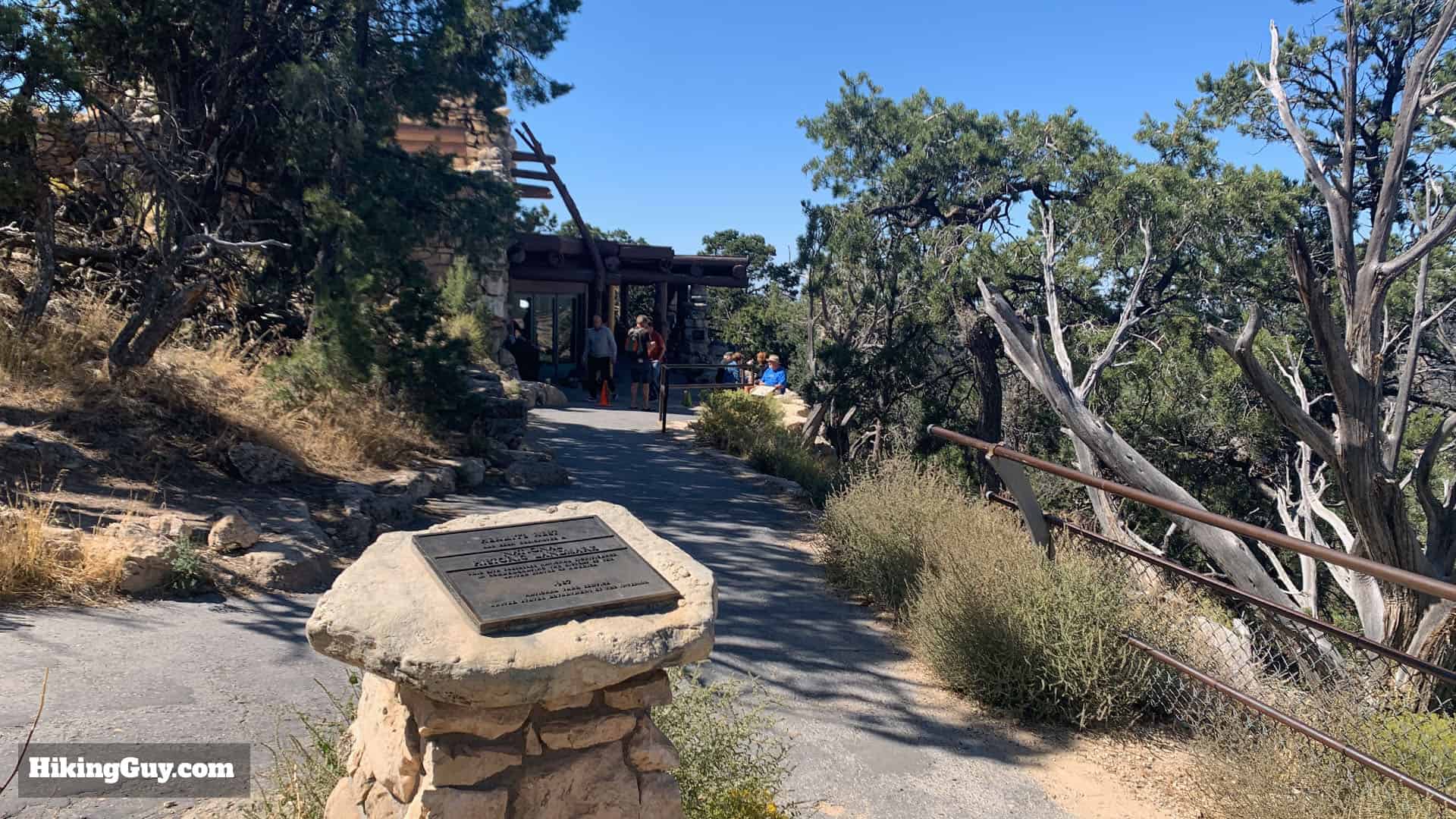
Start the hike at the bus shelter. The Rim Trail starts right on the other side of the station.Right away the trail is easy to follow and mellow. Leave the tourists at Bright Angel behind and start your adventure.Look down to the right to see these chasms along the cliff wall.At the beginning there are some ups and downs, but, in general, the trail is mellow and easy to follow.Soon you'll see Trailview Overlook in the distance.You might notice these bronze timeline medallions along the trail. They're part of the "Trail of Time" exhibit that you can learn more about on the hike between Bright Angel and the Visitor's Center.When you reach the turn-off for Trailhead Overlook, head down to the right to visit the overlook. When you're done, you return here to the trail and continue straight. You can also see the bus stop here.Head down to the overlook.You get some great views into the Bright Angel area here, and you can easily see the Bright Angel Trail as it winds its way down to the Colorado River.On a clear day you'll be able to see the San Francisco Mountains, about 50 miles away, just north of Flagstaff.When you're done at the overlook, head back on the trail. Notice the Rim Trail marker on the right that has the distance to the next bus stop.Oh yea, and there are more incredible views. There are so many views on this hike; it's non-stop.Soon you'll reach an unmarked overlook.Here's a closeup of the overlook. There are dozens of these unmarked rest stops and displays along this hike.Head back on the trail and continue hiking toward Maricopa Point.Soon you'll reach the shuttle bus stop for Maricopa Point. Head to the right to walk out to the vista point.It's worth walking out to the promontory which stretches 100 feet off the rim.The lookout at Maricopa Point offers unobstructed views to the Colorado River. You might even be able to see the Tonto Trail far below.The path heads away from the rim for a stretch between Maricopa and Powell Points. The path is diverted inland away from the rim because close to here on the rim once stood one of the most productive uranium mines in the country. The mine closed in 1969 and was here until 2009, when the contaminated remains and soil had to be removed (costing $15m in taxpayer money). The streams below the old mine site are still contaminated; hikers are warned not to drink from them.Next you'll arrive at Powell Point, which is off to the right from the shuttle stop.Powell Point offers not only views, but also a large granite memorial to John Wesley Powell, a one-armed Civil War veteran who led the first party of gringos through the whitewater of the Colorado River in 1869.Here's the dedication of the memorial in 1918, two years later the Grand Canyon National Park dedication happened here too. Photo Kolb BrothersIronically you can't see the river from Powell Point, named after the man who went down the river. But there are some great views east and west.After Powell Point the trail continues along the side of the road.Head up along the fence toward Hopi Point.Head over the road to reach Hopi Point.Here you are at Hopi Point, the most popular spot on Hermit Road to see the sunset. You get a much wider view at Hopi Point because the Colorado River bends northward here.Down to the left you'll see this butte called The Battleship. It's a popular place for nesting California Condors.You'll also get great views of the Colorado River from Hopi Point.And on a clear day you'll see Mt Trumbull, about 60 miles away and 8,028 feet high.From Hopi Point hop back on the paved Rim Trail.The trail turns to dirt and there are some splits (that come back together).Take care to make sure that you're on the trail and not on a path to an unofficial overlook.There are a few sections of the trail that go alongside the road. When the road is closed you only have to watch out for buses, and they are used to hikers.The trail turns to dirt again and has some spectacular sections. The Rim Trail is wide and well maintained. This is probably as narrow and close to the edge as you get.Soon you'll see the bus stop for Mohave Point.Welcome to Mohave Point where the views are similar to Hopi Point, and you can even see rapids on the river below.In the distance look for the volcanic peak, Mount Floyd (left) at 7,444 feet.Continue on the trail as it winds its way on and off the road.There are quite a few of these pull-over points on the road. Just walk straight through them to continue the hike where they end.Follow the trail into the dirt area.Here's the Abyss Overlook, which gives you views down a 2,600 foot vertical drop.Keep hiking along the Rim Trail, following the markers which go all the way to the end.The trail heads away from the edge for a while and takes you through the Grand Canyon's pygmy pinyon-juniper woodlands.The next stop is the Monument Creek Vista. The drop from the rail is a sheer one and the views are incredible.Monument Creek Vista marks the start of the Hermit Road Greenway Trail, a section of the Rim Trail that's paved and optimized for bikers (and walkers).Follow the wide and easy Greenway Trail. There are several benches and overlooks along the way like the one on the right.Keep right as the trail approaches Pima Point.Welcome to Pima Point, the last big overlook on this hike.Pima Point offers some of the best views of the river and rapids.Past Pima Point follow the signs for the Rim Trail.This stretch of the trail used to be the old road to Hermit's Rest. In 2008 the Parks Service made this a greenway path and rebuilt the main road to what it is now, widening it for buses. They also performed one of the largest revegetation projects in the park, planting over 20,000 shrubs and laying over 200 pounds of grass seed.Bicycles must continue straight to the road; hikers make the right.And here you are, Hermit's Rest!
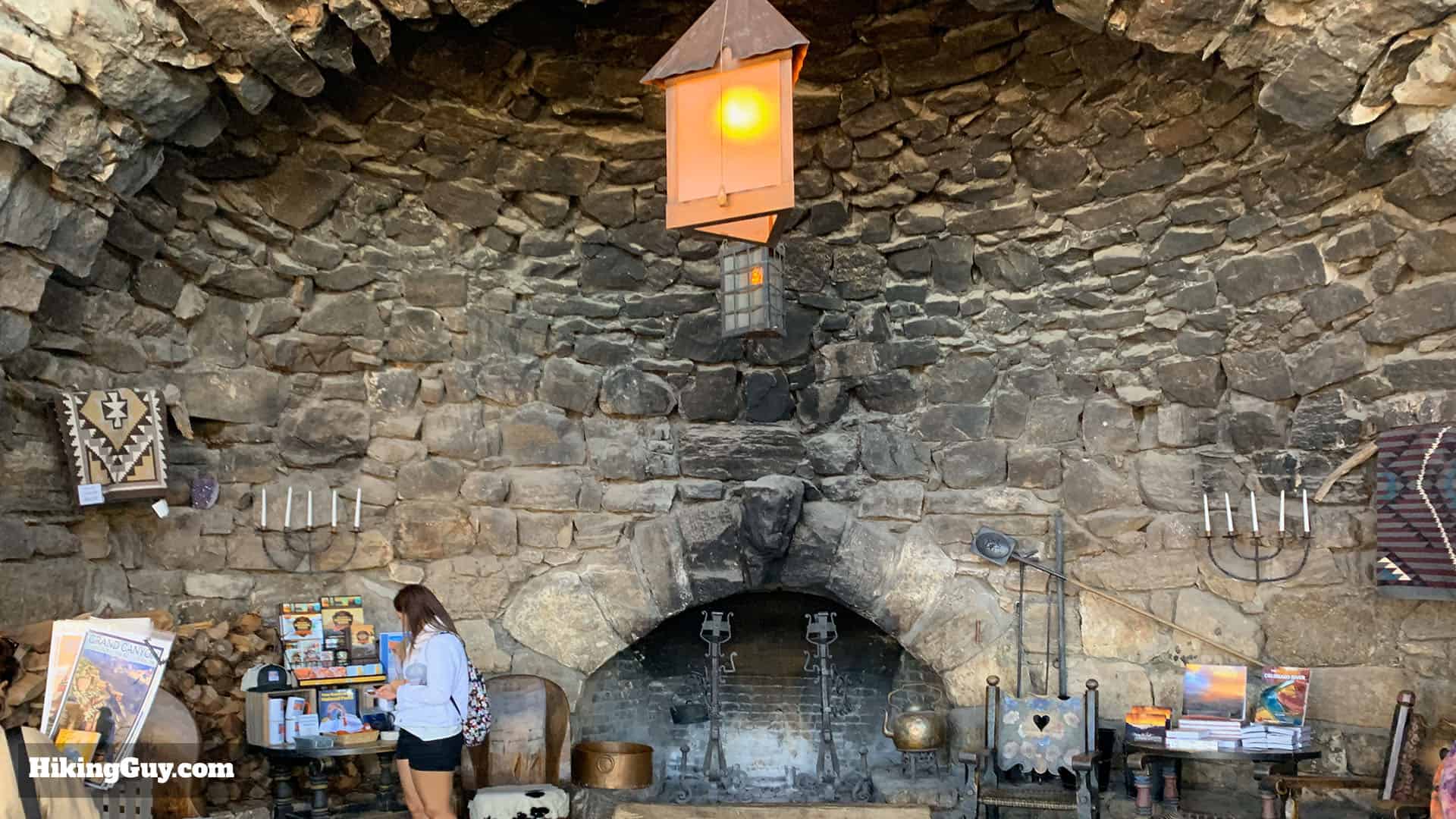
Hermit's Rest is named after "the hermit" of the Grand Canyon, a Quebecois, Louis Boucher. Boucher staked his claim here, carved out trails in the canyon, and eventually evolved his homestead to be a tourist destination.
Get your photo with the old entrance gate.Continue down the right side of the area to visit the Hermit's Rest building from 1914 that is built in the “National Park Rustic” style.Head inside to admire the huge alcove fireplace. When the building was opened in 1914 they rubbed soot on the stones and used antique lamps to make the building look like had been there for a while.There's a small snack bar where you can grab a bite. You can also refill your water by the bathrooms, close to the shuttle bus stop.