South Kaibab Trail Guide
Hike Stats
- Total Distance
- 1.8 miles
- Time
- 1 hour
- Total Climbing
- 600 feet
- Difficulty
- Moderate
- Crowds
- Crowded
- Dogs
- No Dogs
- Gear
- What I Use
- Weather
- Latest Report
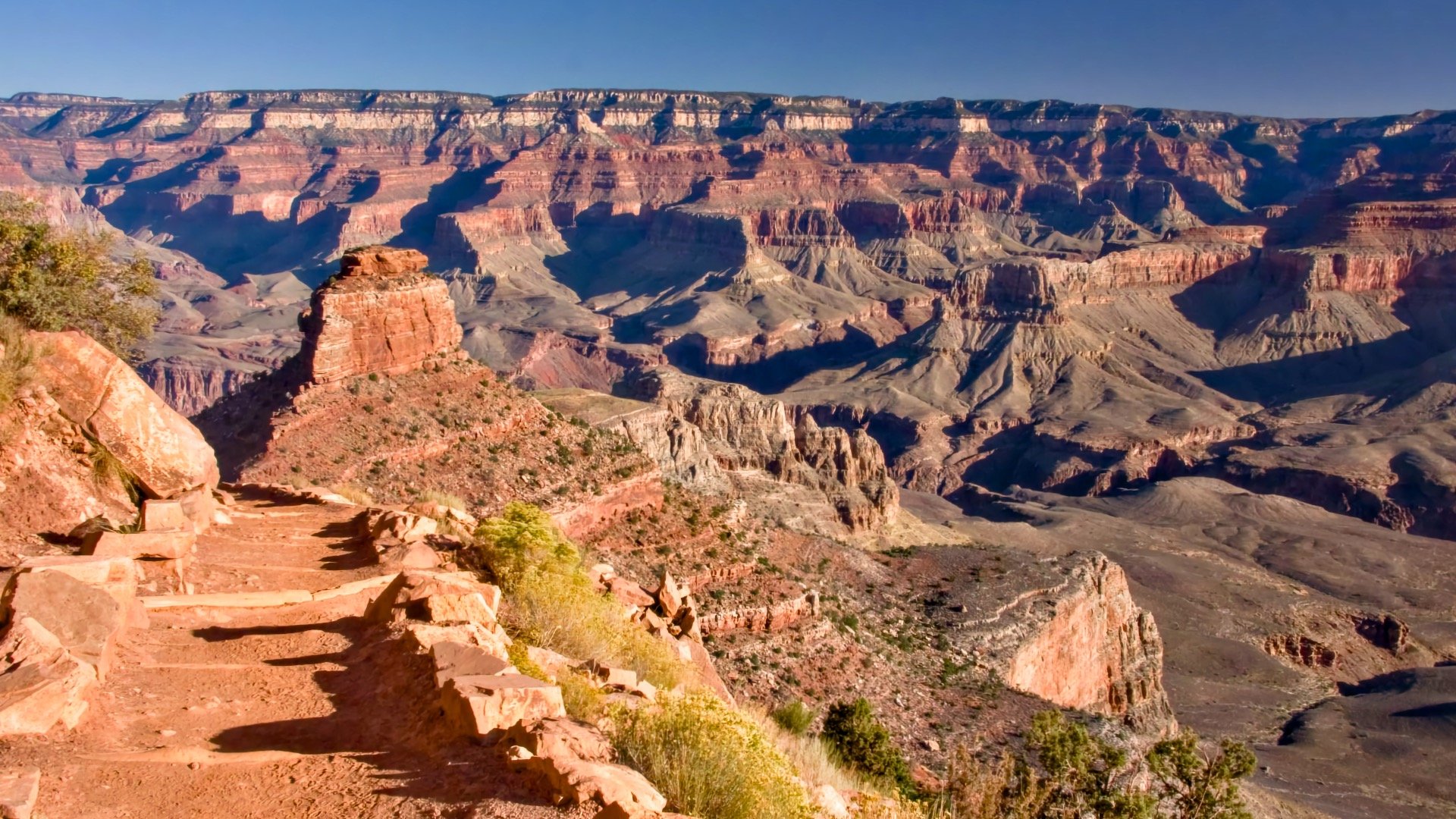
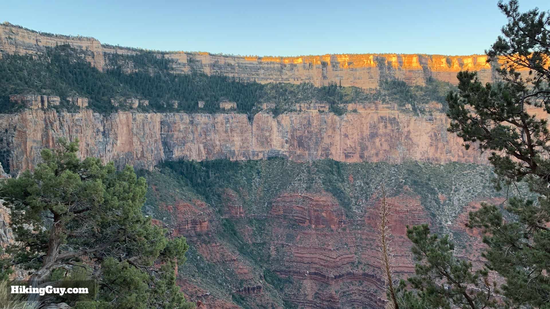
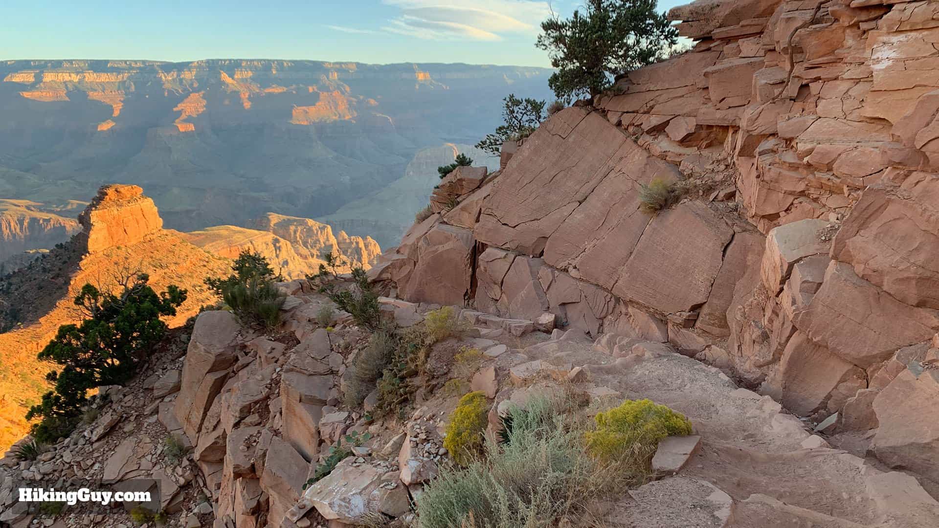
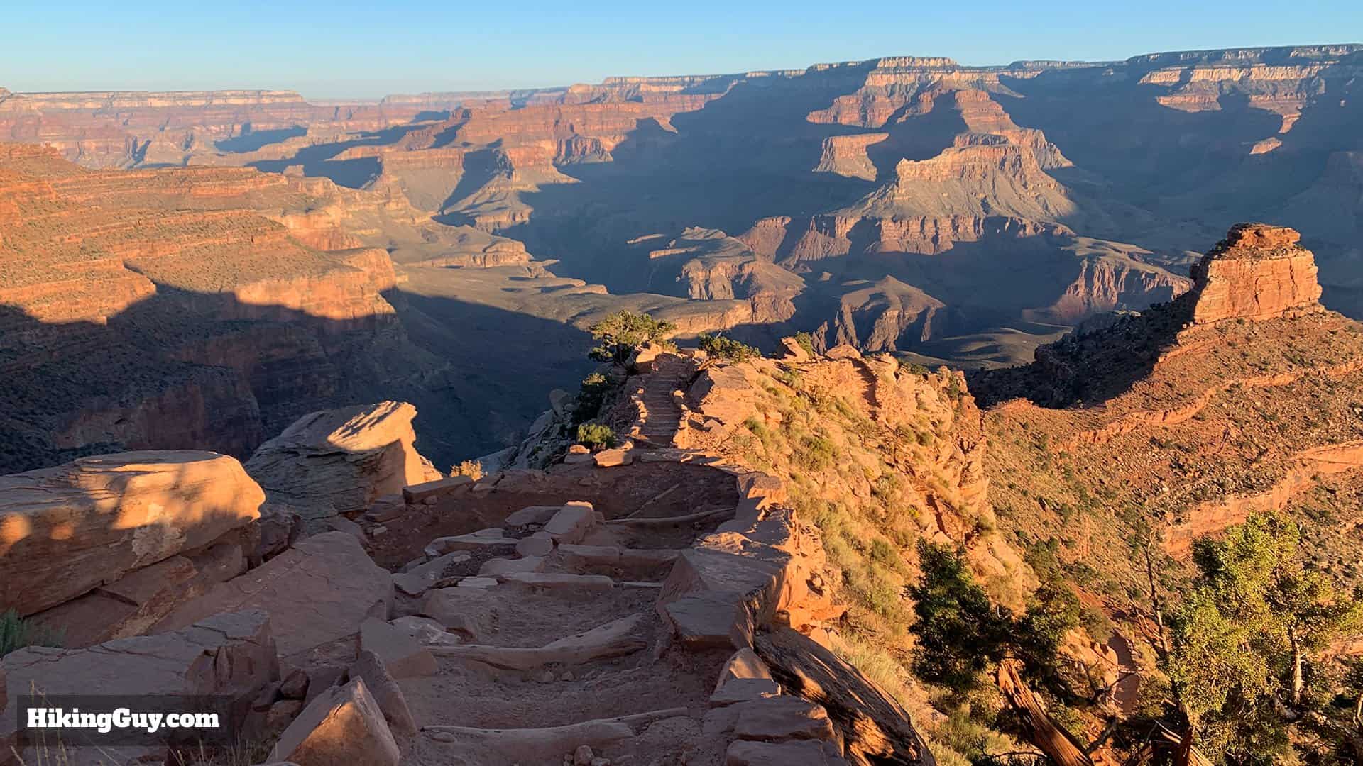
The South Kaibab Trail is a must‑do Grand Canyon hike with big views from start to finish. Follow the ridge to iconic spots like Ooh Aah Point, Cedar Ridge, and Skeleton Point, each offering a different perspective of the canyon. The NPS recommends Skeleton Point as the farthest turnaround for most day hikers, and there’s no water anywhere on the trail, so start early and come prepared. In this guide, I’ll show you exactly how to hike each section the easy way.
South Kaibab Trail Options
- You can choose how far you want to hike down the South Kaibab Trail. Simply turn around and hike back up from the destination that you're hiking to.
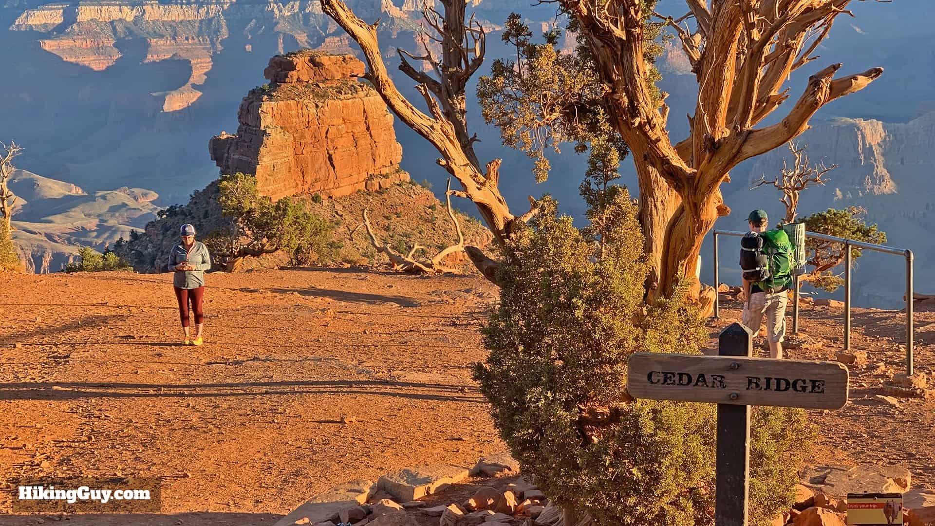
- Cedar Ridge is the farthest the National Park Service recommends going on a summer day hike.
- Similarly, they also don't recommend continuing past Skeleton Point as a day hike outside of summer without consulting with a park ranger.
| Destination | Total Distance | Total Climbing | Time | Difficulty | Notes |
|---|---|---|---|---|---|
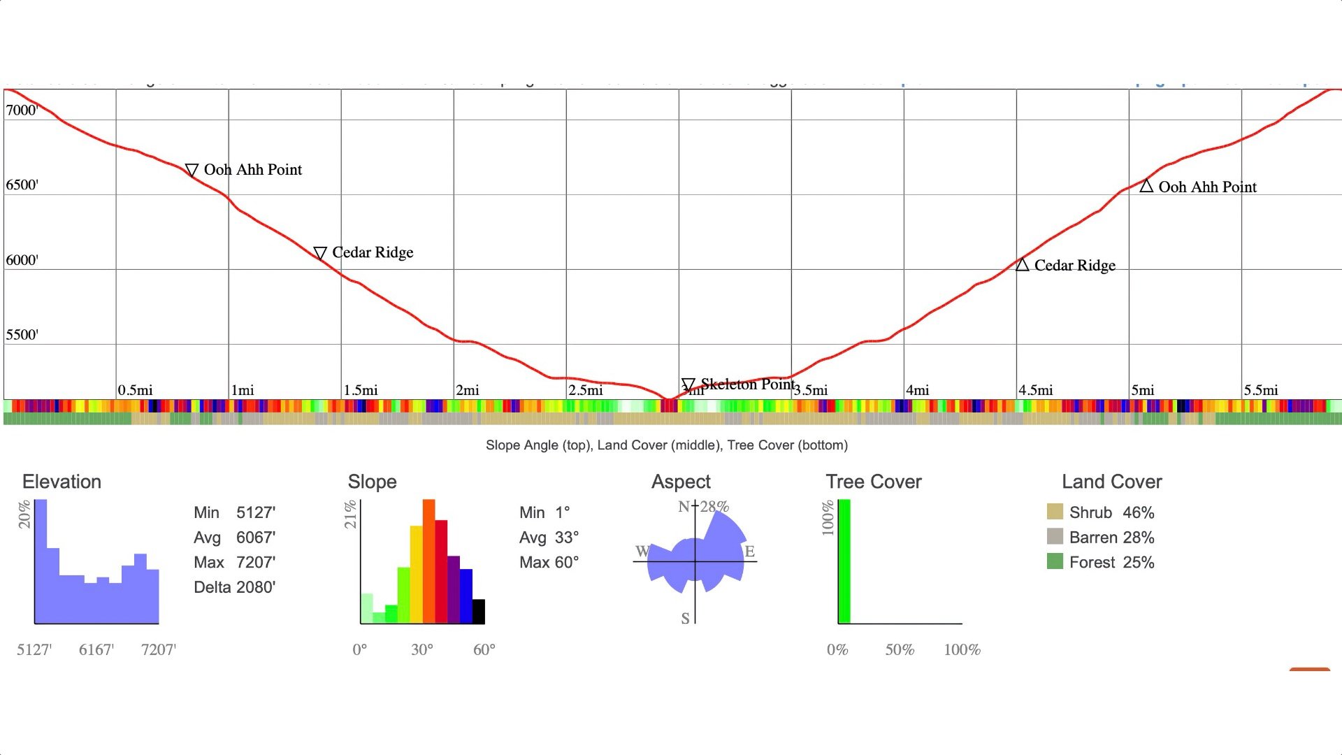
| Ooh Ahh Point | 1.8 miles | 600 | 1 hour | Moderate | Panoramic Canyon Views |
| Cedar Ridge | 3 miles | 1180 | 2-3 hours | Hard | Interior Canyon Views |
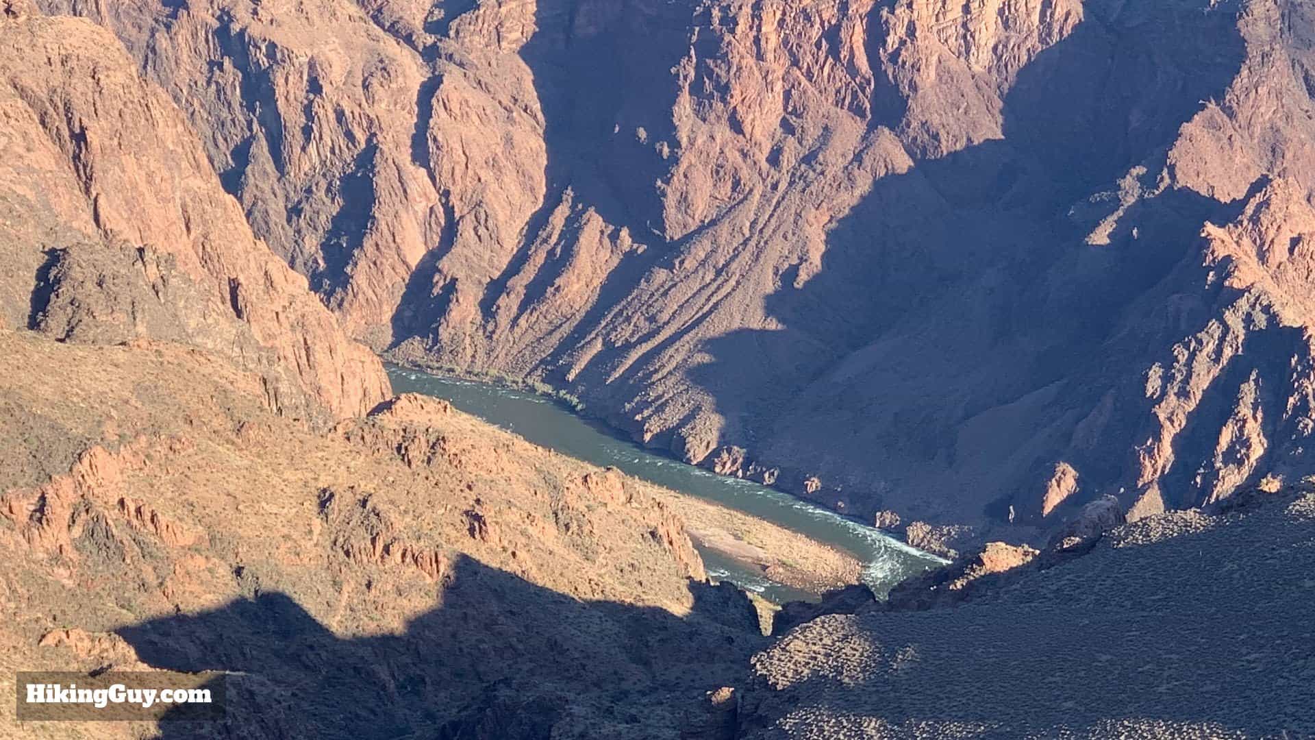
| Skeleton Point | 6 miles | 2040 | 3-4 hours | Hard | River and Canyon Views |
Kaibab is a word of Southern Paiute origin meaning "mountain lying down," aka inverted mountain.
South Kaibab Trail Difficulty
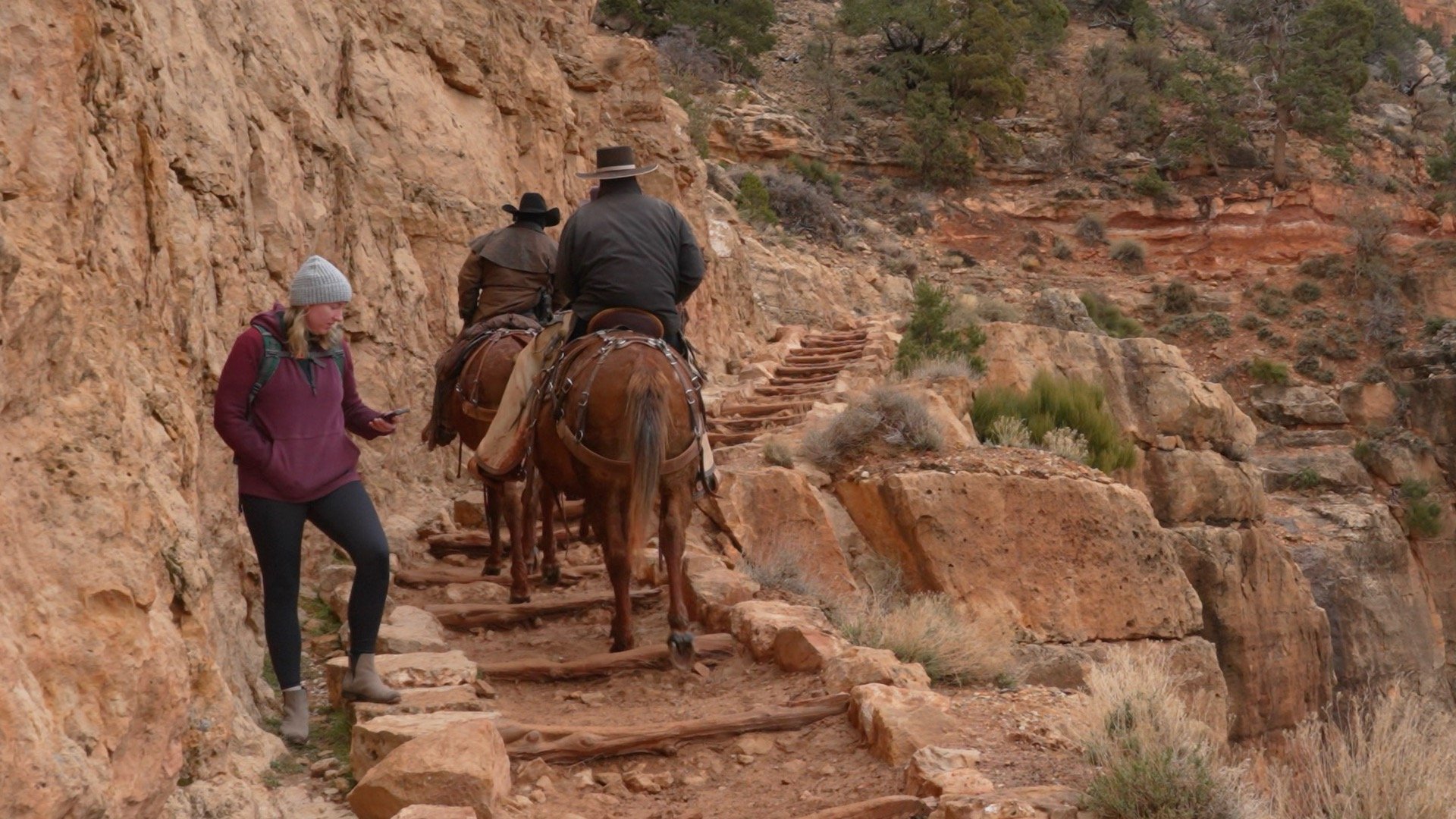
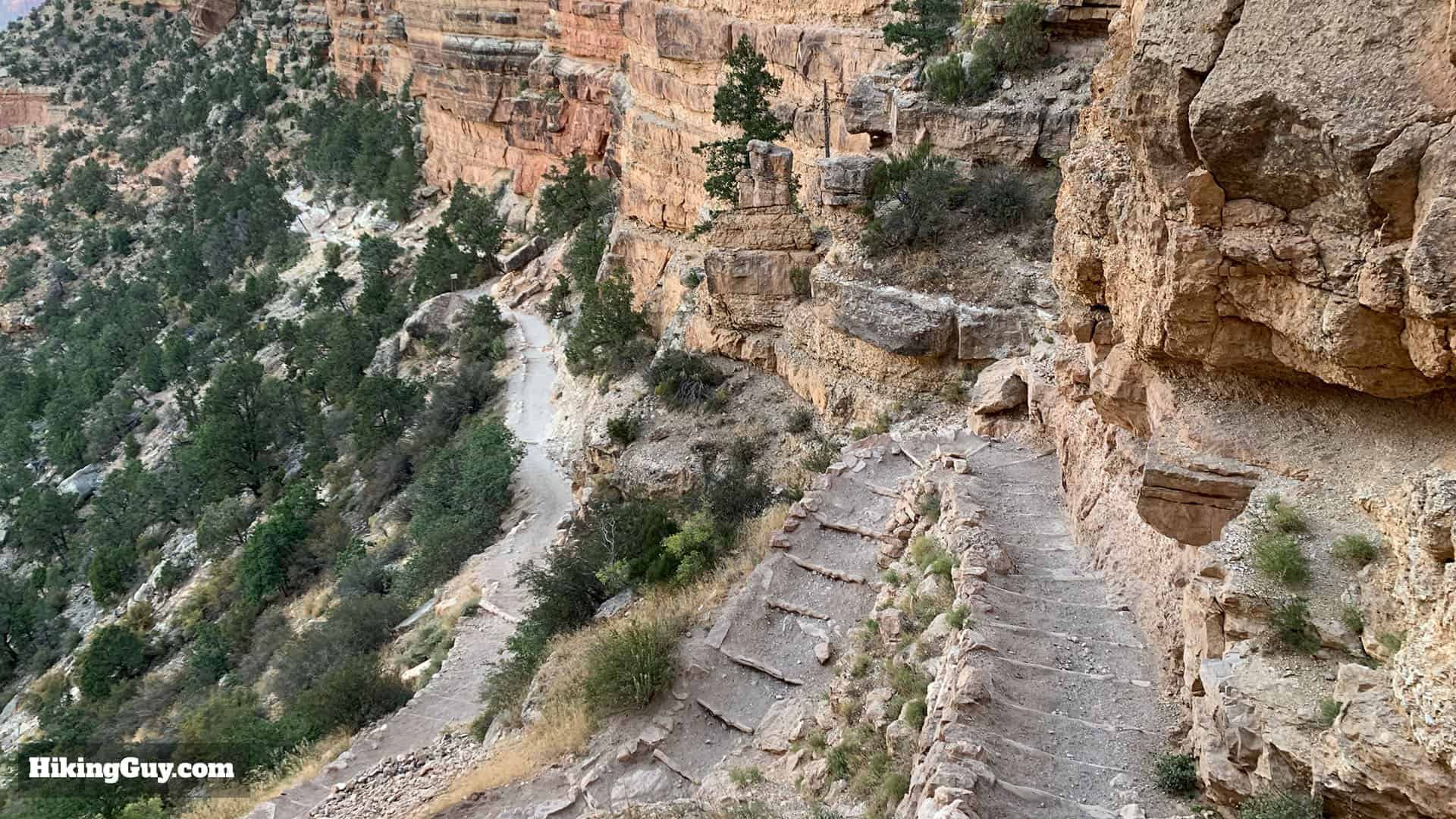
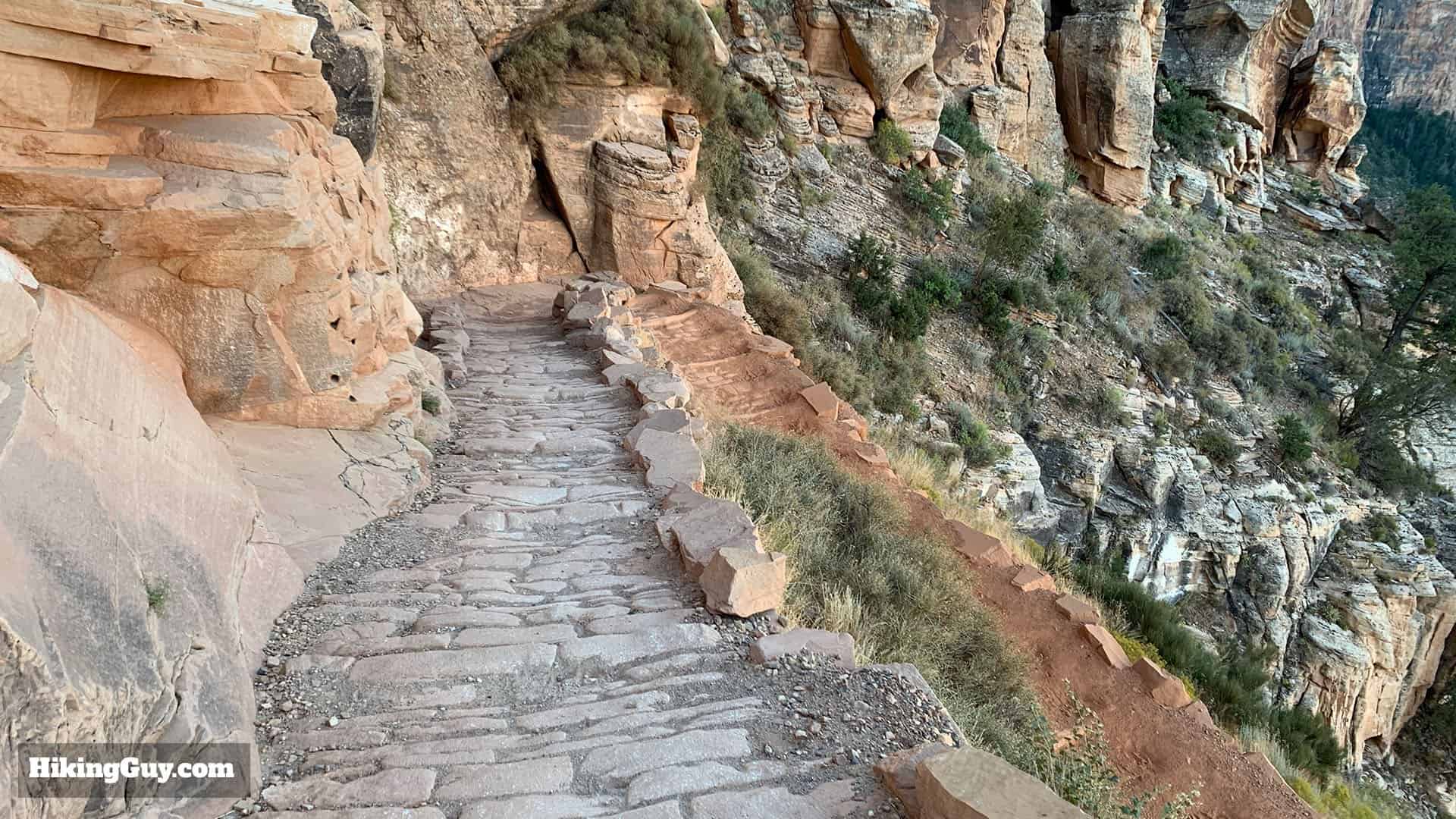
Overall the South Kaibab Trail is safe. I've seen people of all shapes, sizes, ages, and fitness levels do these hikes. The trail is well-maintained, easy to follow, consistently about 4 feet wide, and has wider sections for passing. But you still need to be mindful of a few things.
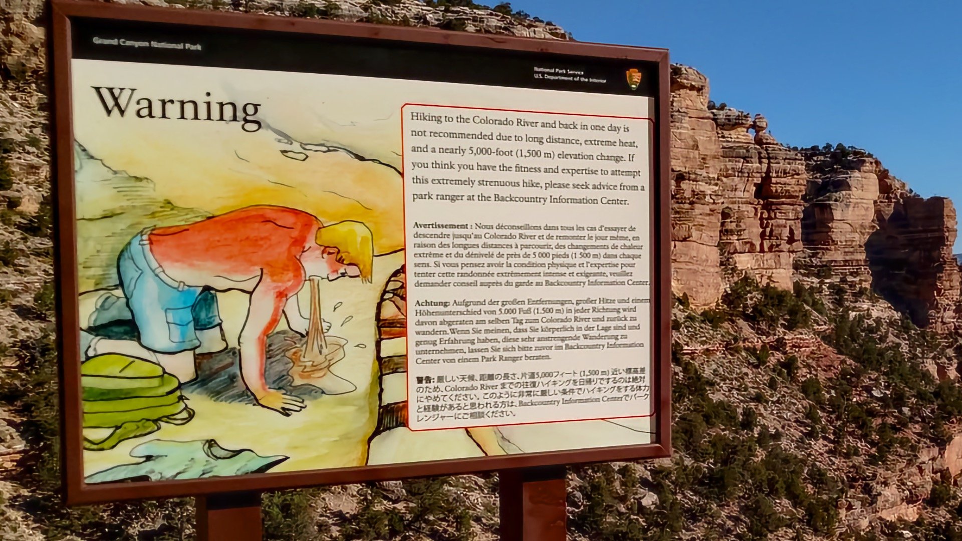
- When people get into trouble on the South Kaibab Trail, it’s usually because of the heat. The trail is totally exposed with no shade, so in hot weather it can be brutal. Even in the shade, summer temperatures often exceed 100F (38C). Check the weather and park alerts regarding the heat.
- The hike back up is much harder than going down. Many first-time Grand Canyon hikers overcommit on the easy downhill and pay for it on the climb out. A good rule of thumb: expect the hike up to take about twice as long as the hike down.
- Snow and ice can linger on the upper sections in winter, especially in the morning. Be prepared for slippery, frozen sections near the rim, so bring microspikes.
- Outside of the trailhead and Colorado River, there is no water anywhere on the South Kaibab Trail. You have to carry all the water you need, and in summer that can mean several liters per person.
- The trail is generally wide enough to hike comfortably and pass other hikers. But people have also died after getting too close to the edge (taking pictures). Be conservative.
- Mules also use the trail, so be ready to step aside in safe areas when they pass.
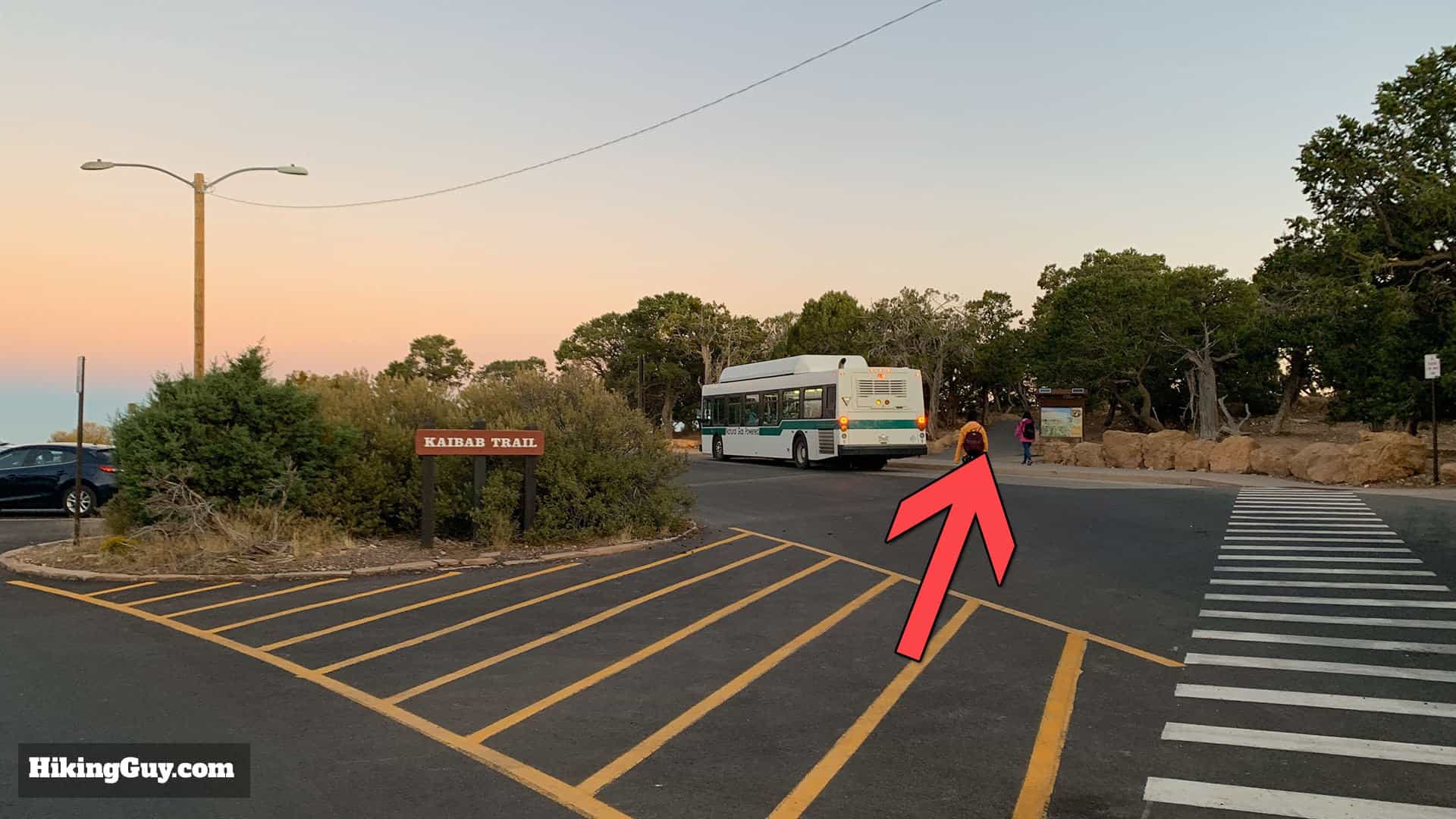
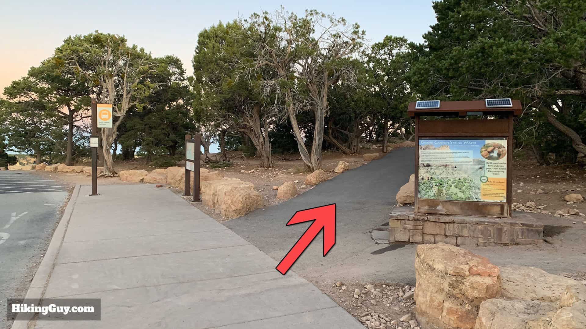
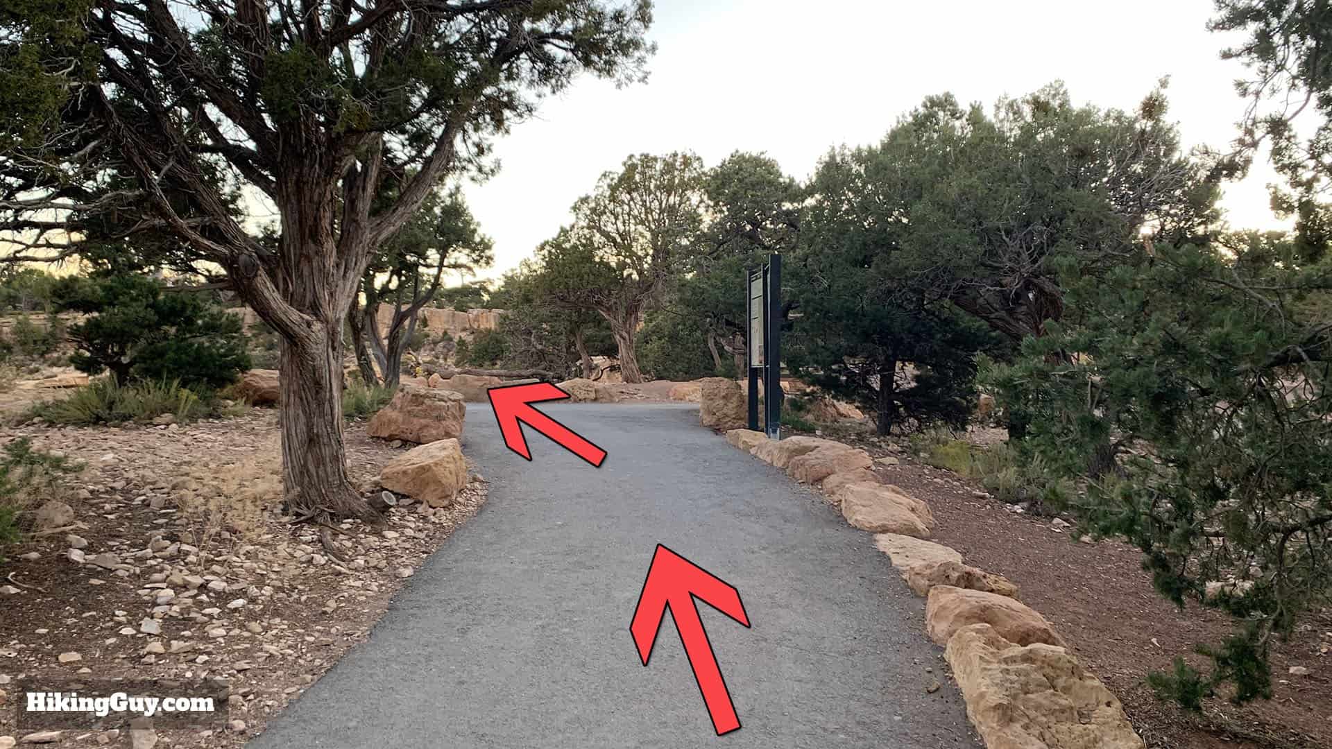
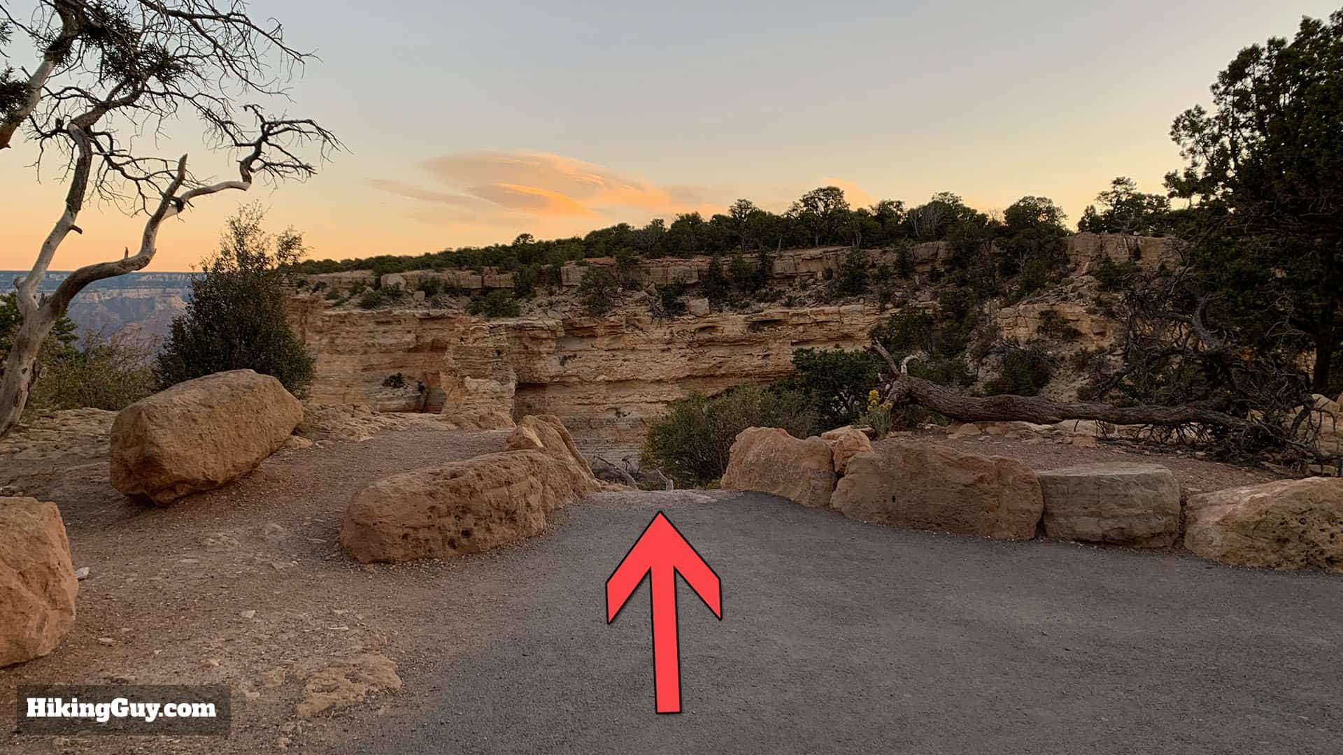
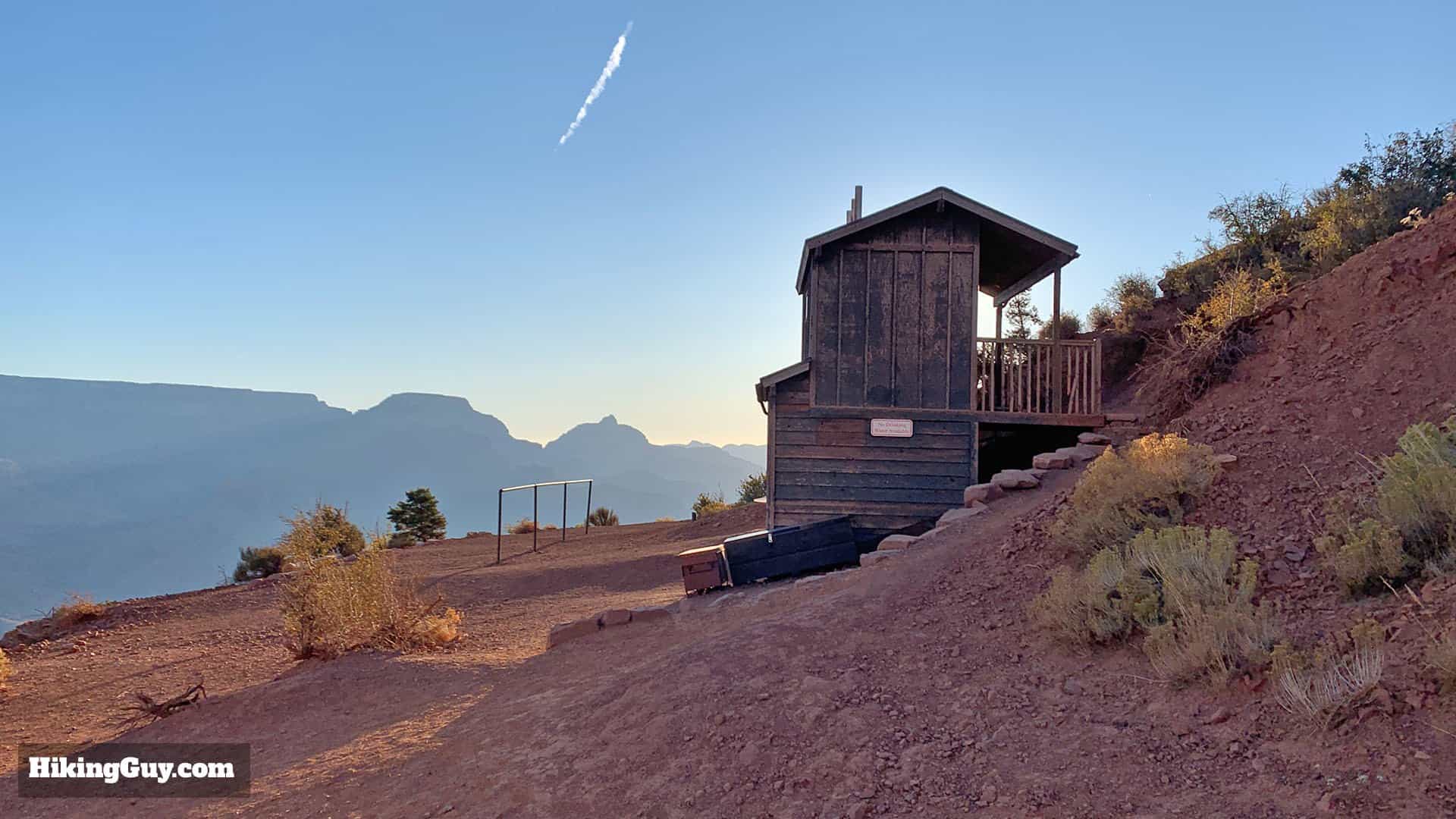
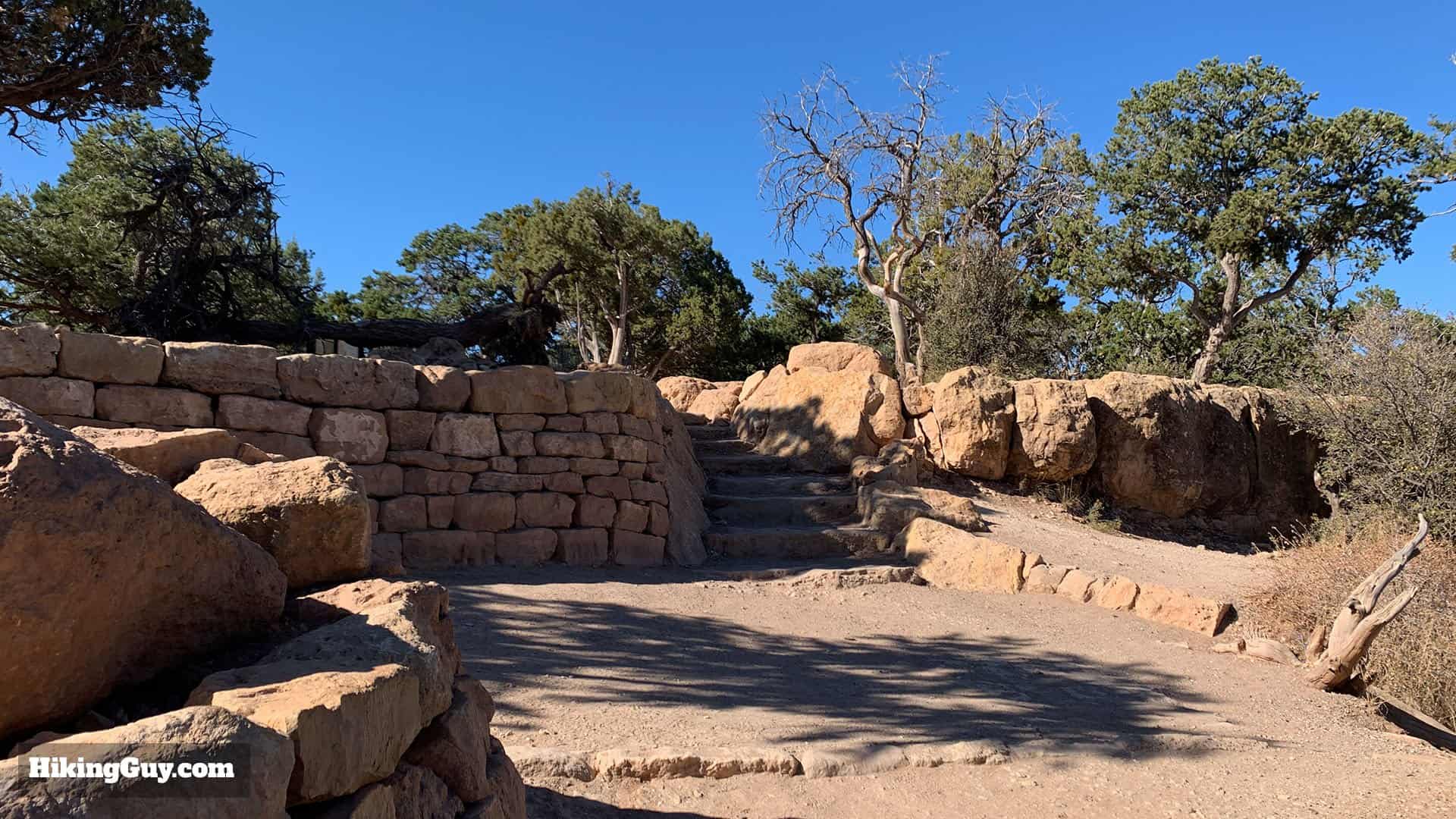
South Kaibab Trailhead
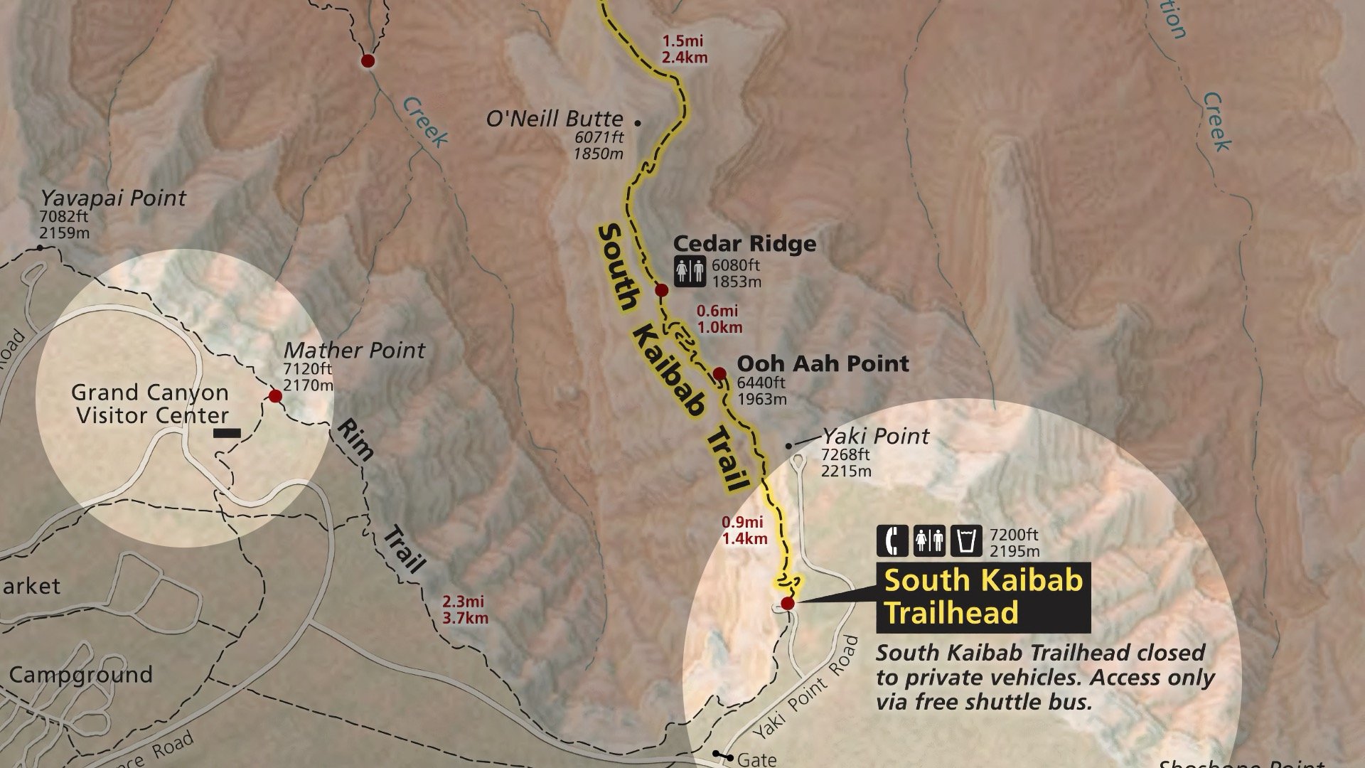
The road to the South Kaibab Trailhead (Yaki Point Road) is closed to vehicles. Here's what I would recommend.
- Take the free Orange shuttle bus from the Visitor Center. This is by far the easiest way to get back and forth to the trail. If you want to get an early start, take the Hiker's Express Shuttle, which is set up for long distance hikers but can be used by anyone. Getting an early start is a smart way to beat the crowds and see the sunrise in the canyon.
- You can also walk from the Visitor Center along the wide and easy Rim Trail. It's about 2.2 miles and takes most folks around 40-60 minutes.
- There's a very small parking lot along Desert View Drive, not intended for hikers but rather as a turn-off for drivers. From here you can walk about 0.5 miles to the Rim Trail and then to the South Kaibab trailhead.

Gear for the Hike
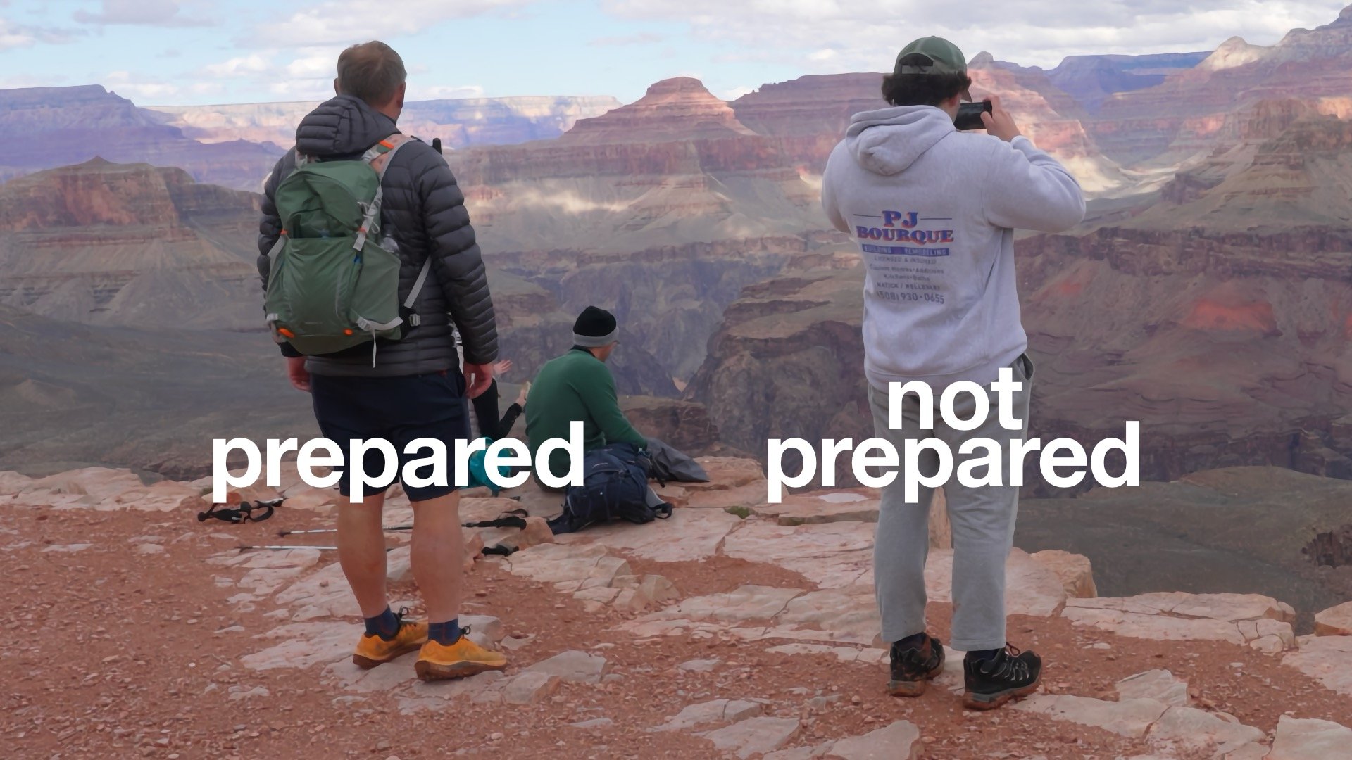
- As I mentioned earlier, you need to bring your water with you. To Ooh Ahh Point, 1L is fine. To Cedar Ridge or Skeleton Point, bring 2L or 3L when it's hot. Better to have more water than you need. Bring a backpack to carry it along with sun protection.
- The hiking community has generally moved from hiking boots to trail runners. Overall you want your feet to be comfortable, especially if you're not used to hiking this far. If you don't have trail runners, wear sneakers.
- Some hikers like trekking poles, and they can be helpful for stability, knee protection (on the downhill), and climbing on the way back out.
- Don't count on cellular service. If you need to call for help, having a satellite-enabled phone or satellite communicator can help. The trail is busy, so even if you don't have satellite communications, you're likely to see someone who might.
- It can help to have a snack and/or electrolyte drink for the way back up if you're doing one of the longer options.
Essentials I’m Using Now
- Garmin inReach Mini 2: Reliable SOS Everywhere on Earth
- Sawyer + CNOC Water Filter: Easy & Reliable Safe Water
- Nitecore NU25 Headlamp: Running late? Get home safe
- Altra Olympus 275: Favorite trail shoes right now, no blisters and very comfy.
- AllTrails Plus: Offline maps on your phone with the Plus level
- Full November 2025 Gear List →
South Kaibab Trail Maps
South Kaibab Trail Directions
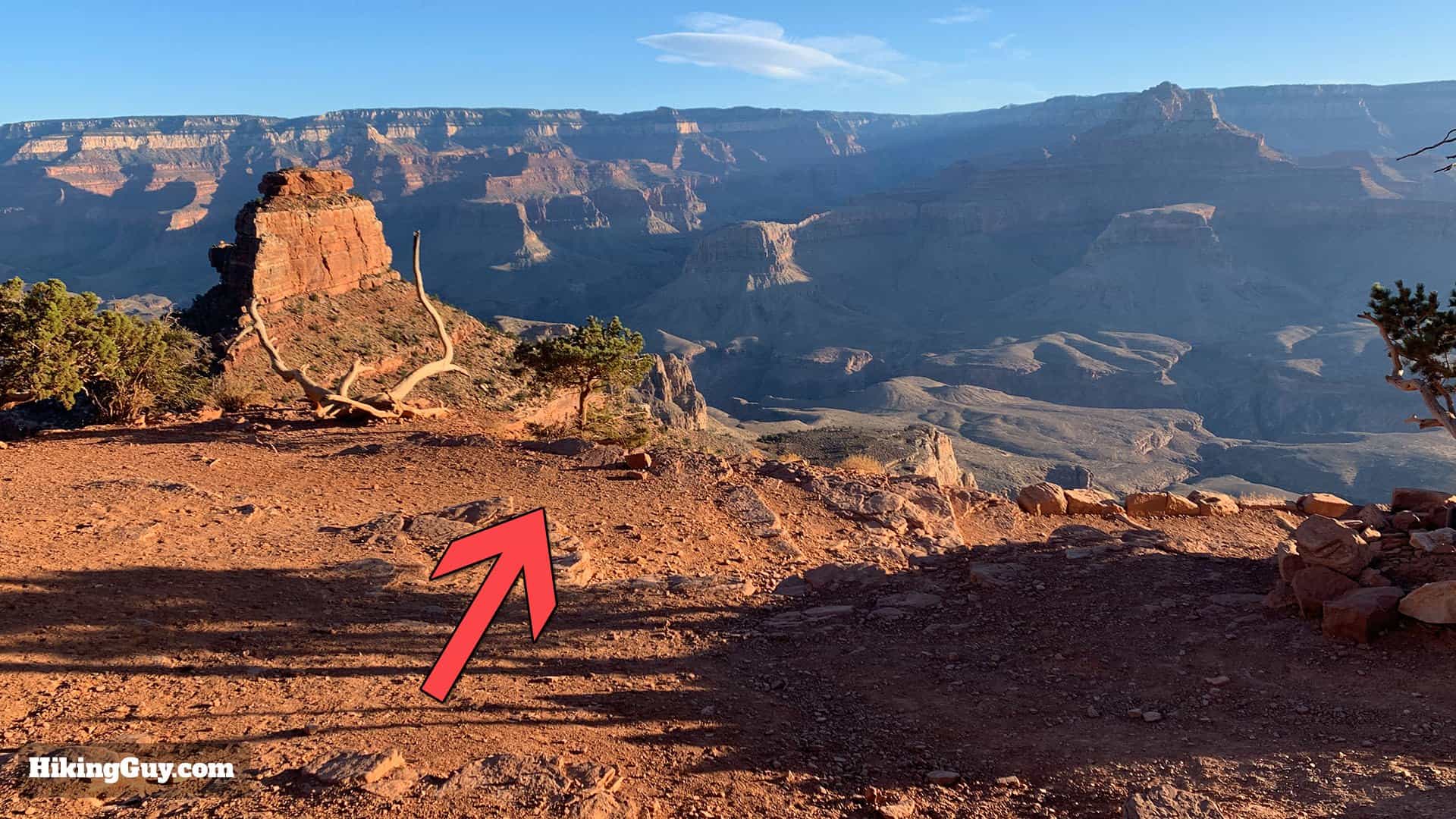
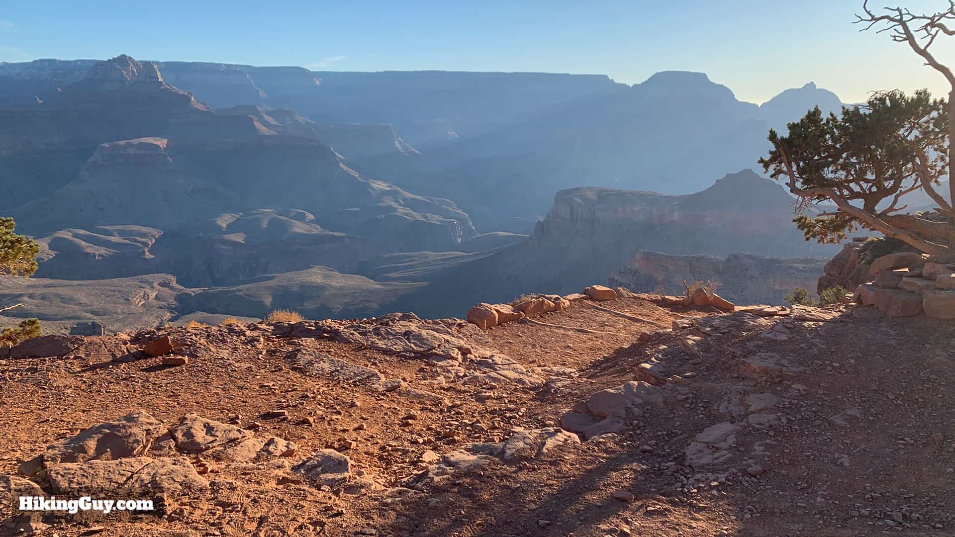
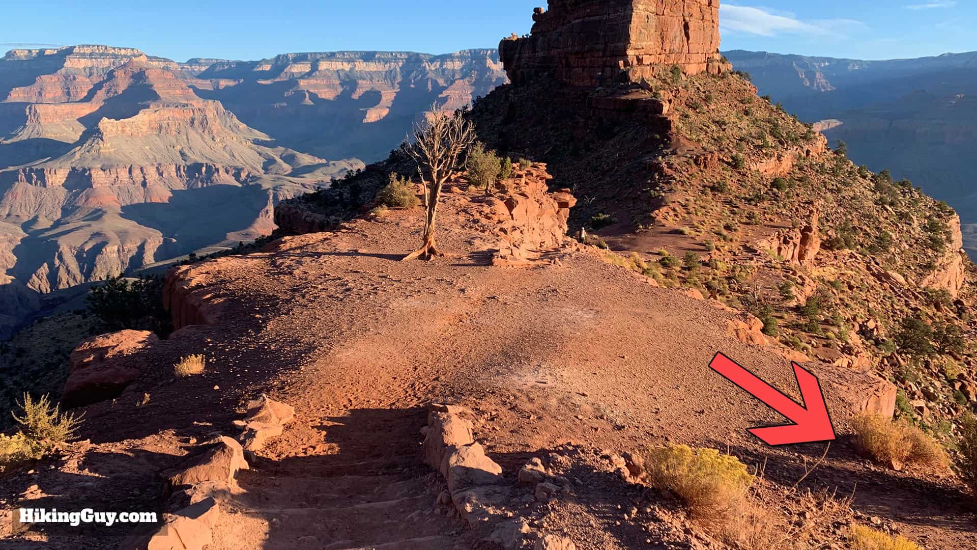
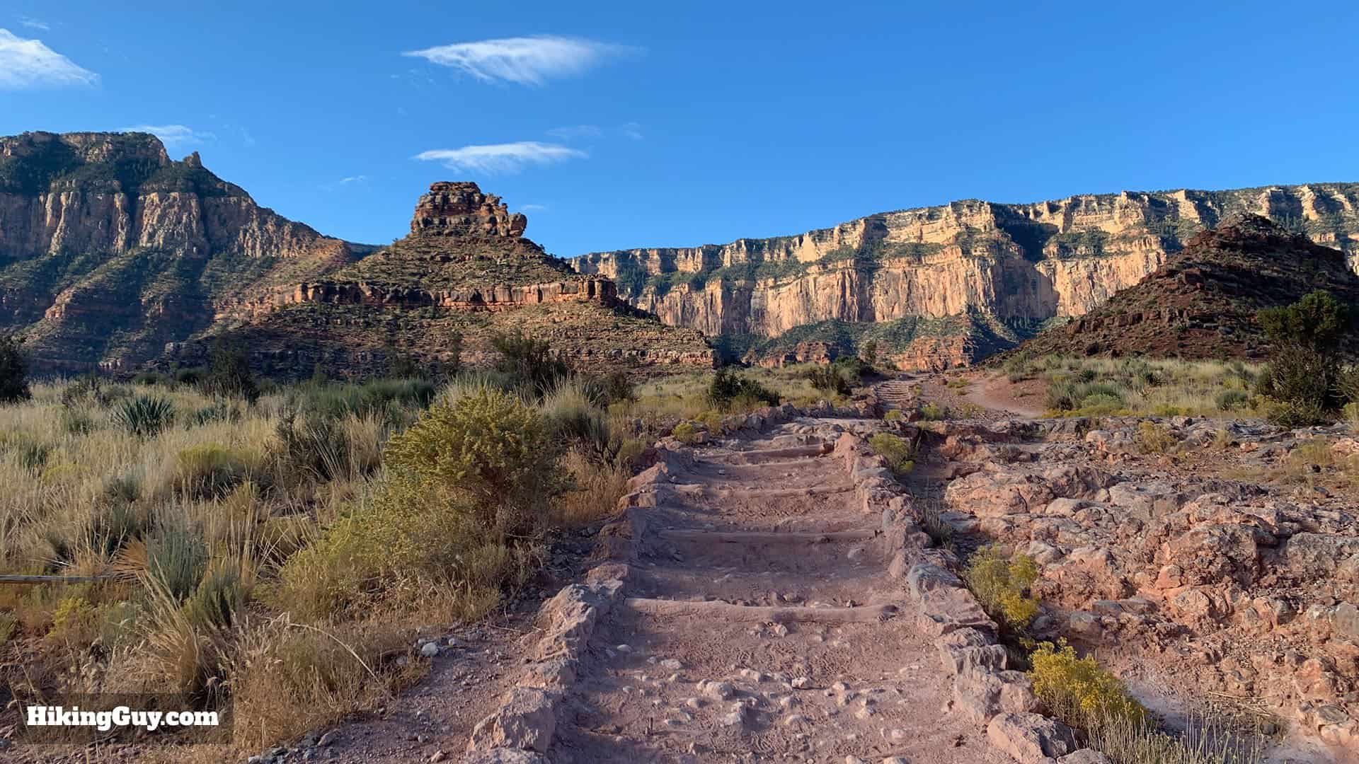
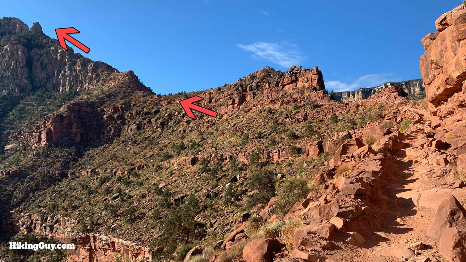
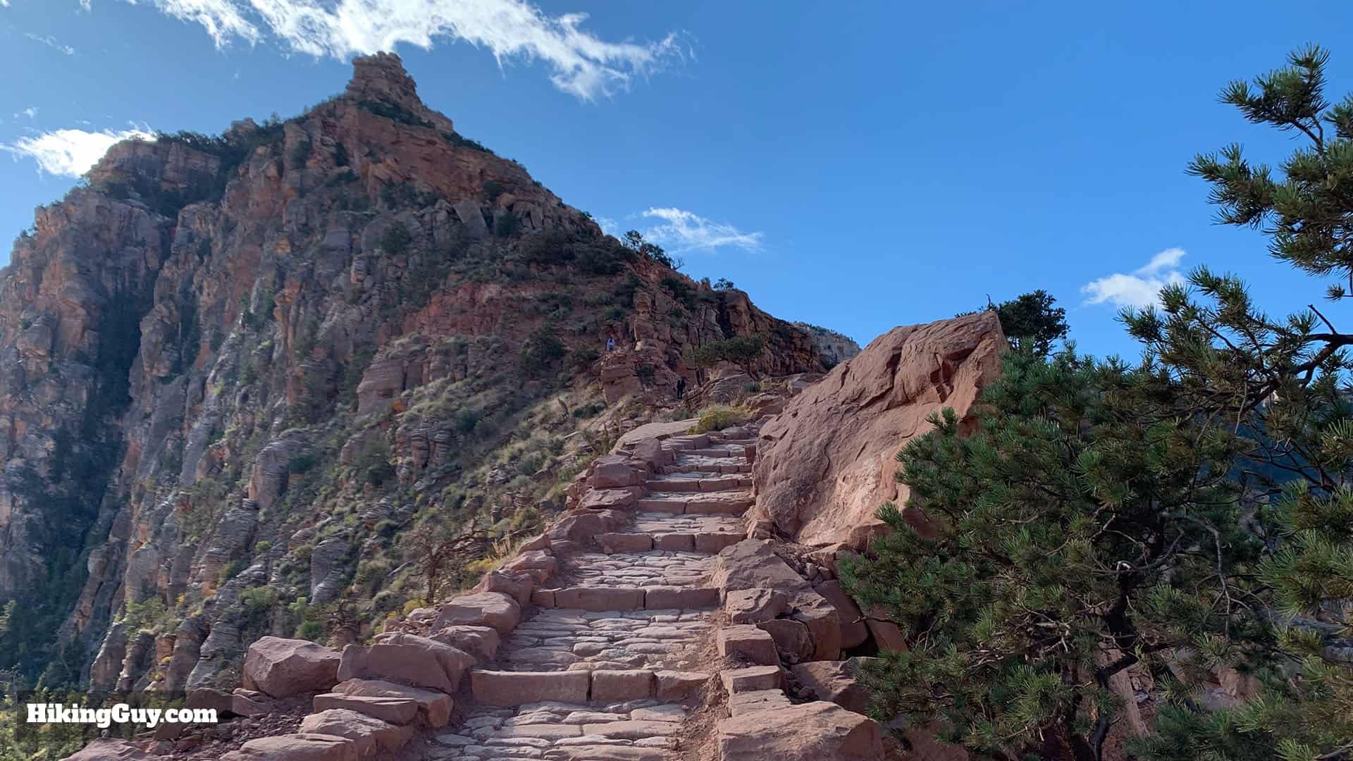
Trailhead to Ooh Ahh Point
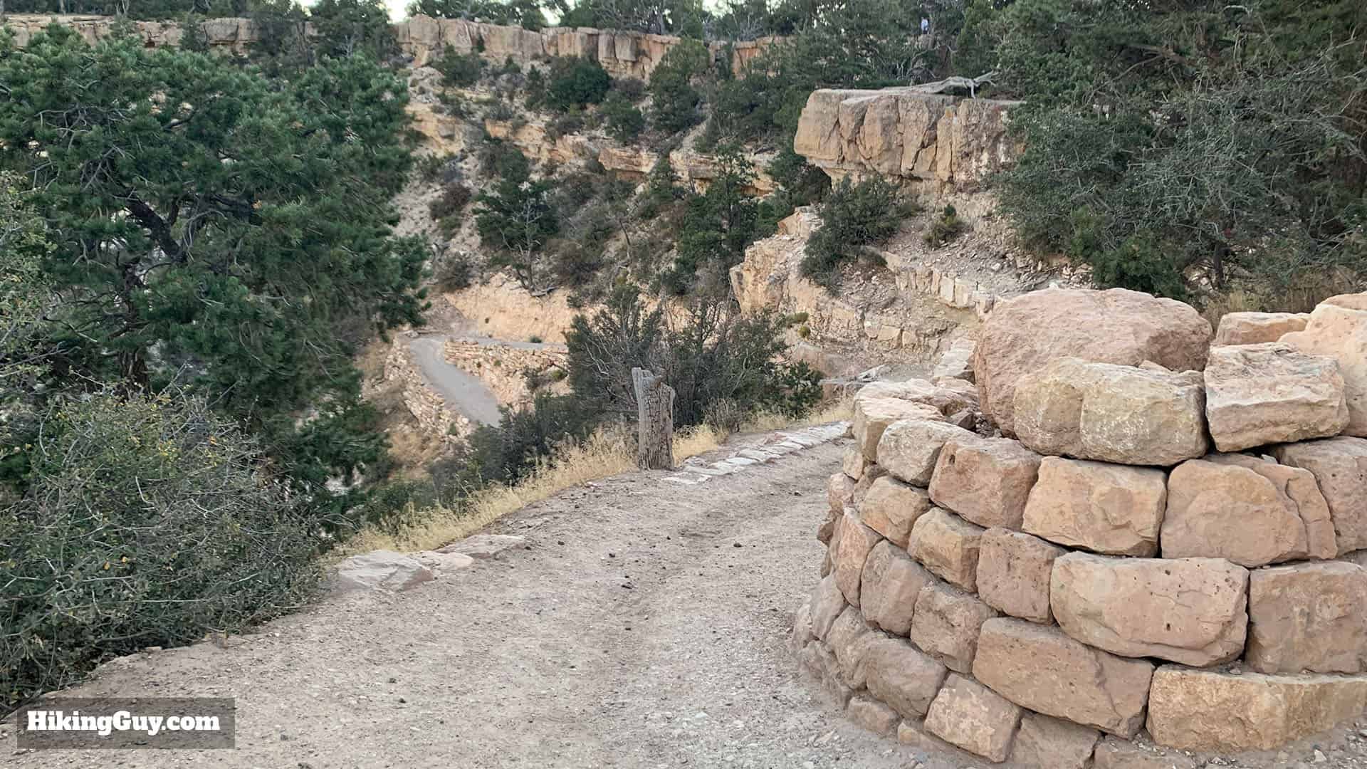
The South Kaibab Trail was built by engineers in 1924-25 to create a smooth and direct route down to the river. It has been described as "a trail in a hurry to get to the river."

At the bottom of the canyon, the layers date back 1.84 BILLION years! To put that in perspective, the Earth is 4.543 billion years old.


If this is your final destination, turn around and hike back from here.
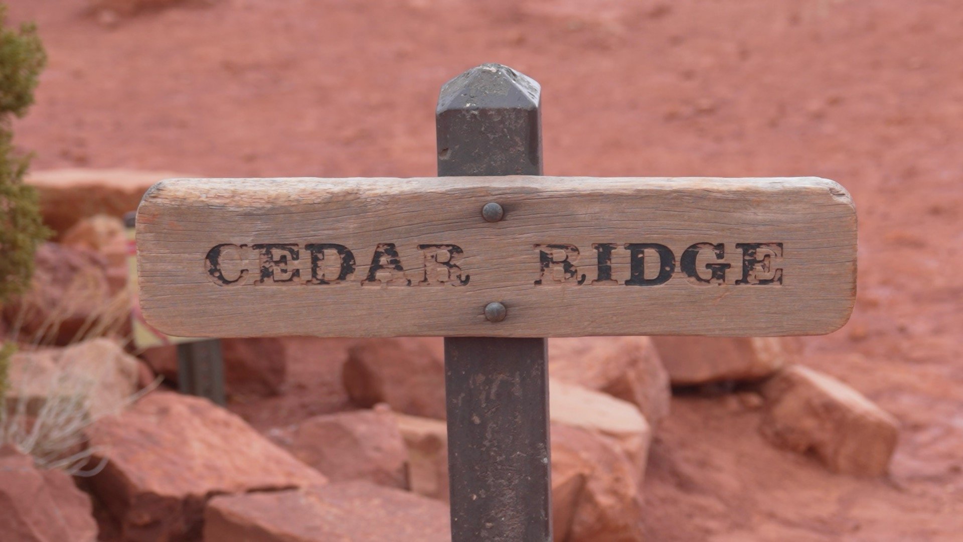
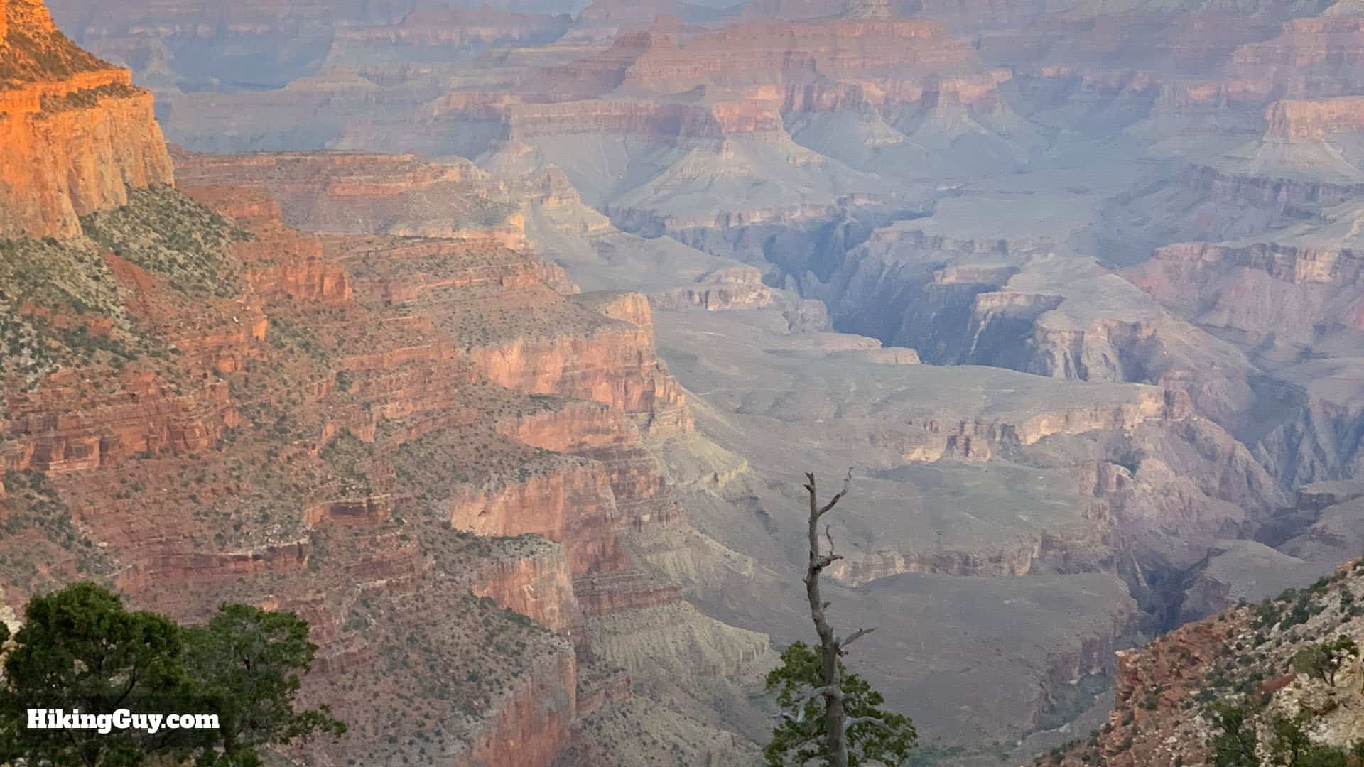
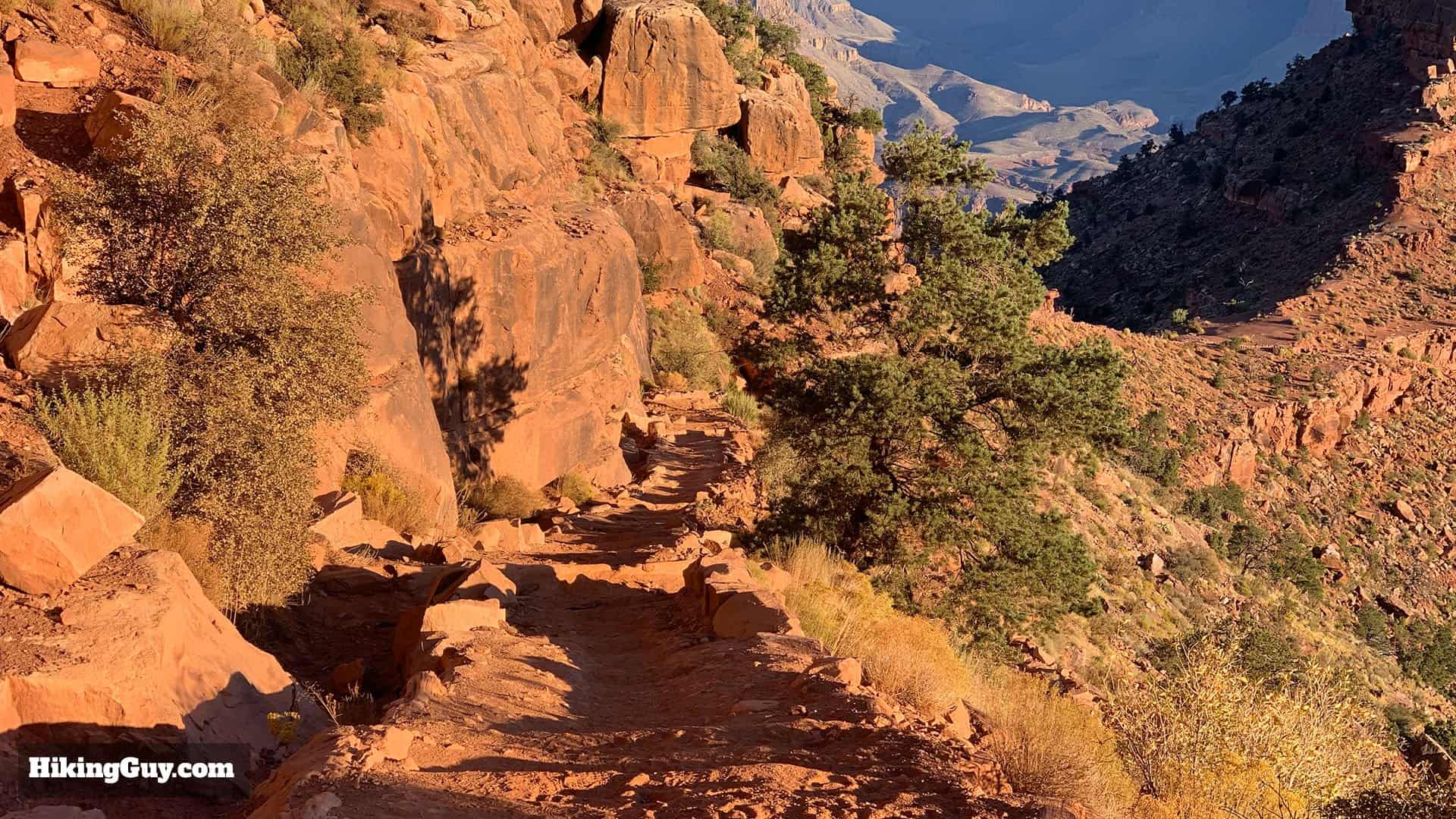
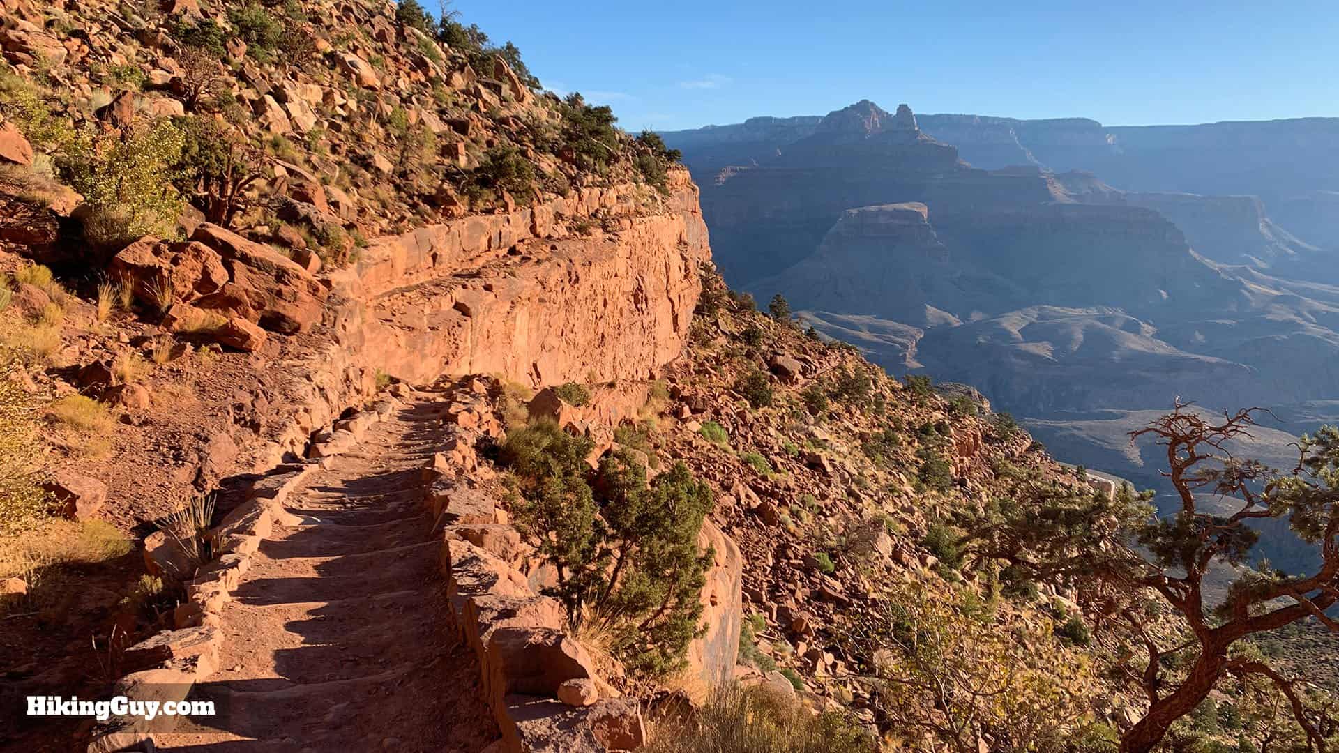
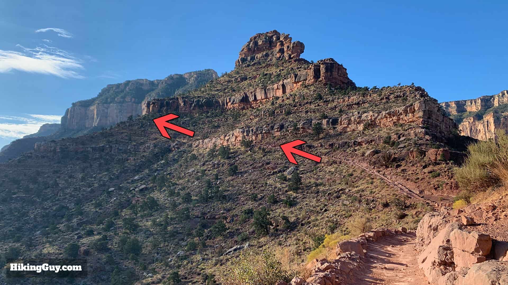
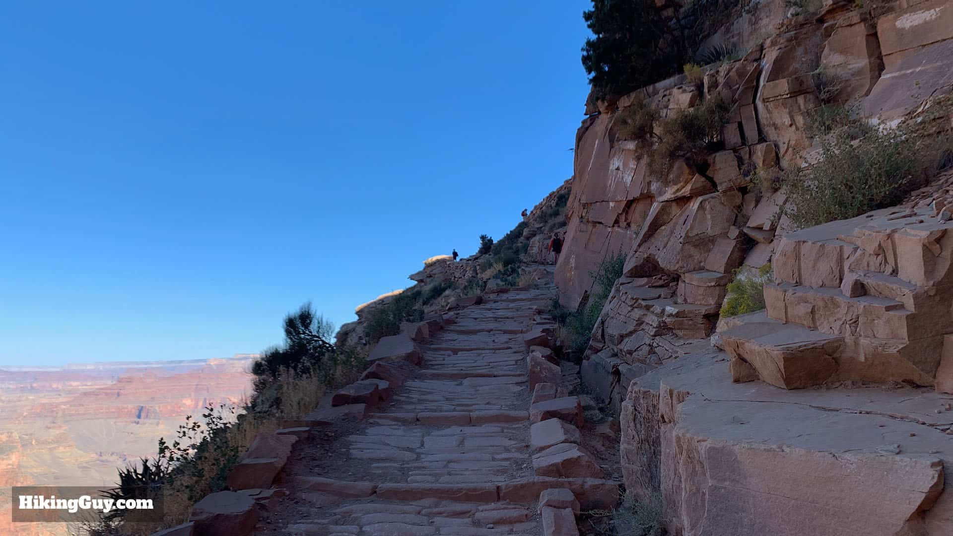
Ooh Ahh Point to Cedar Ridge
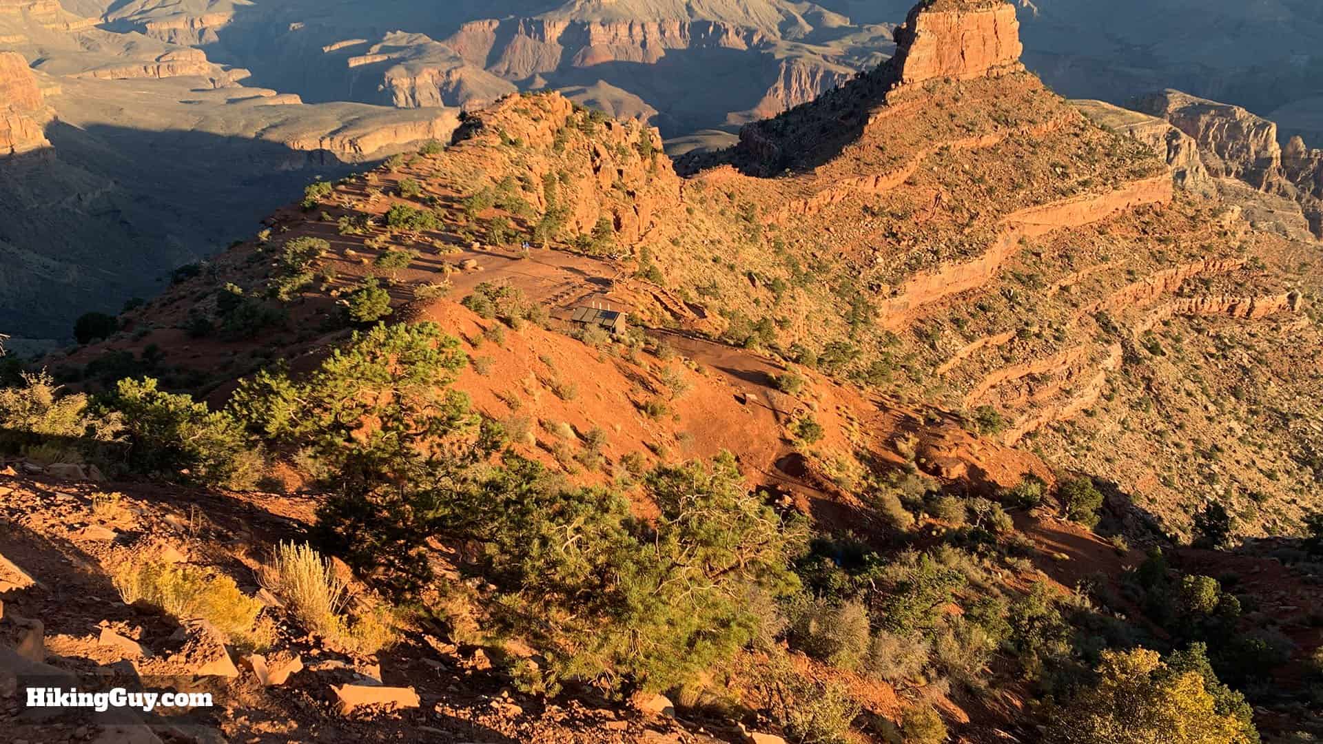
While Cedar Ridge seems open and a great place to camp, no camping is allowed along the South Kaibab Trail.
If this is your final destination, turn around and hike back from here.
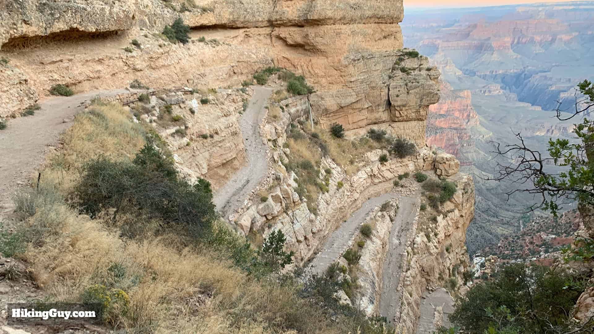
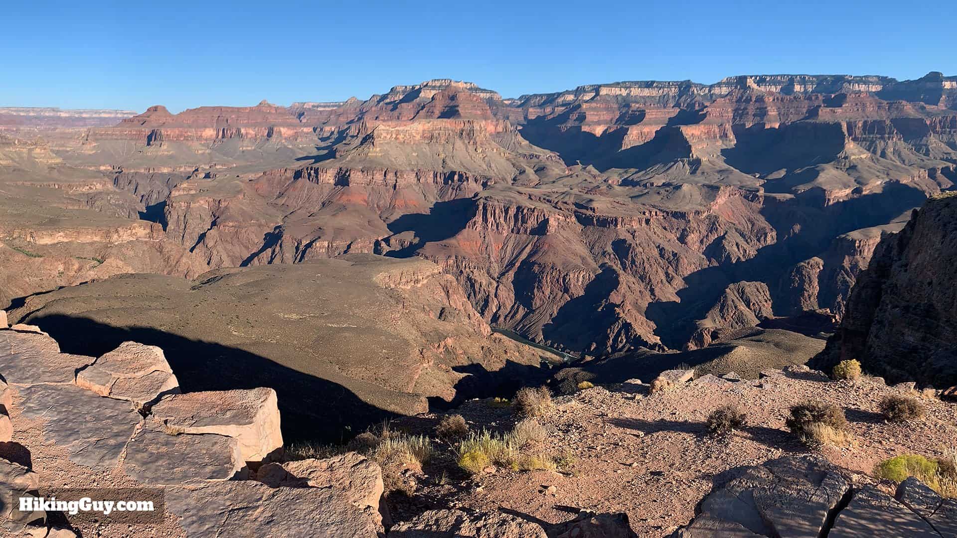
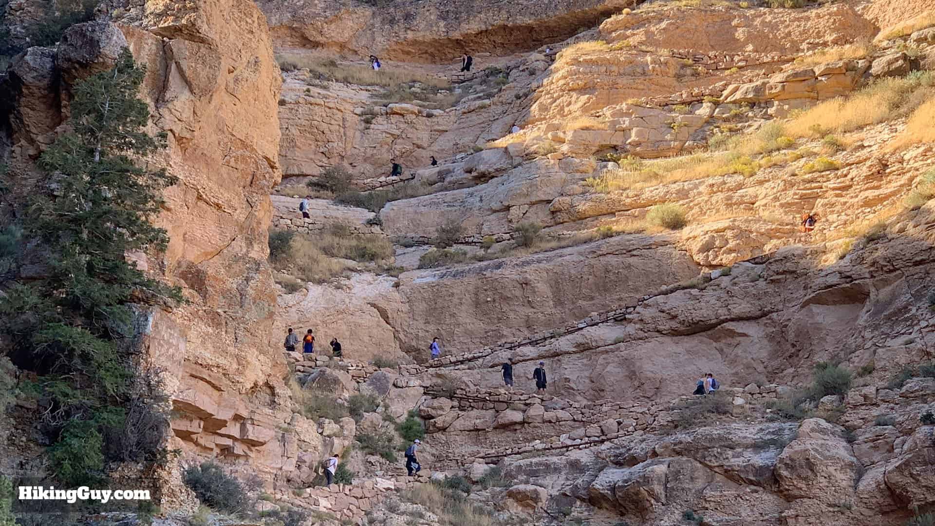
Cedar Ridge to Skeleton Point
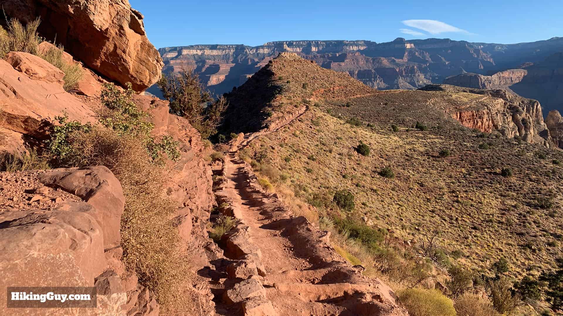
The South Kaibab Trail is part of the Arizona Trail (AZT), which stretches about 800 miles from Mexico to Utah.
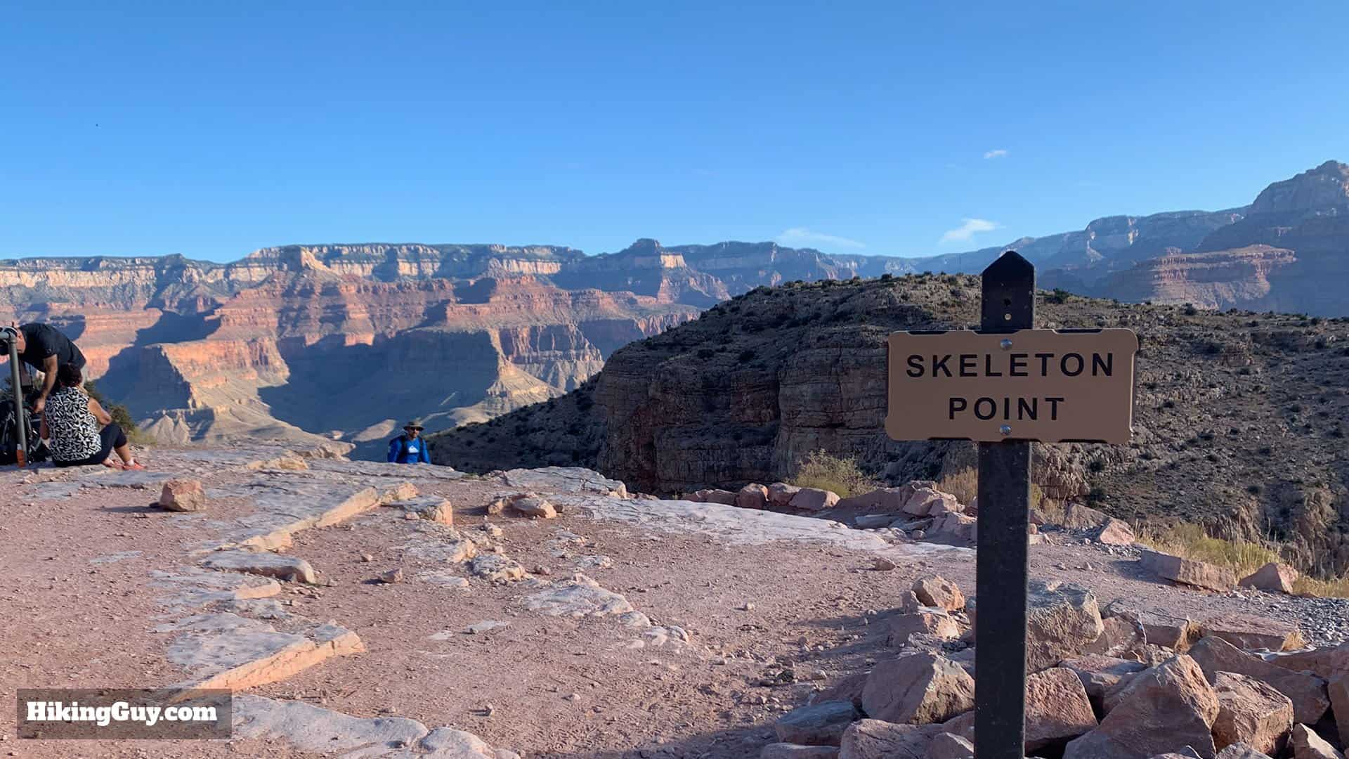
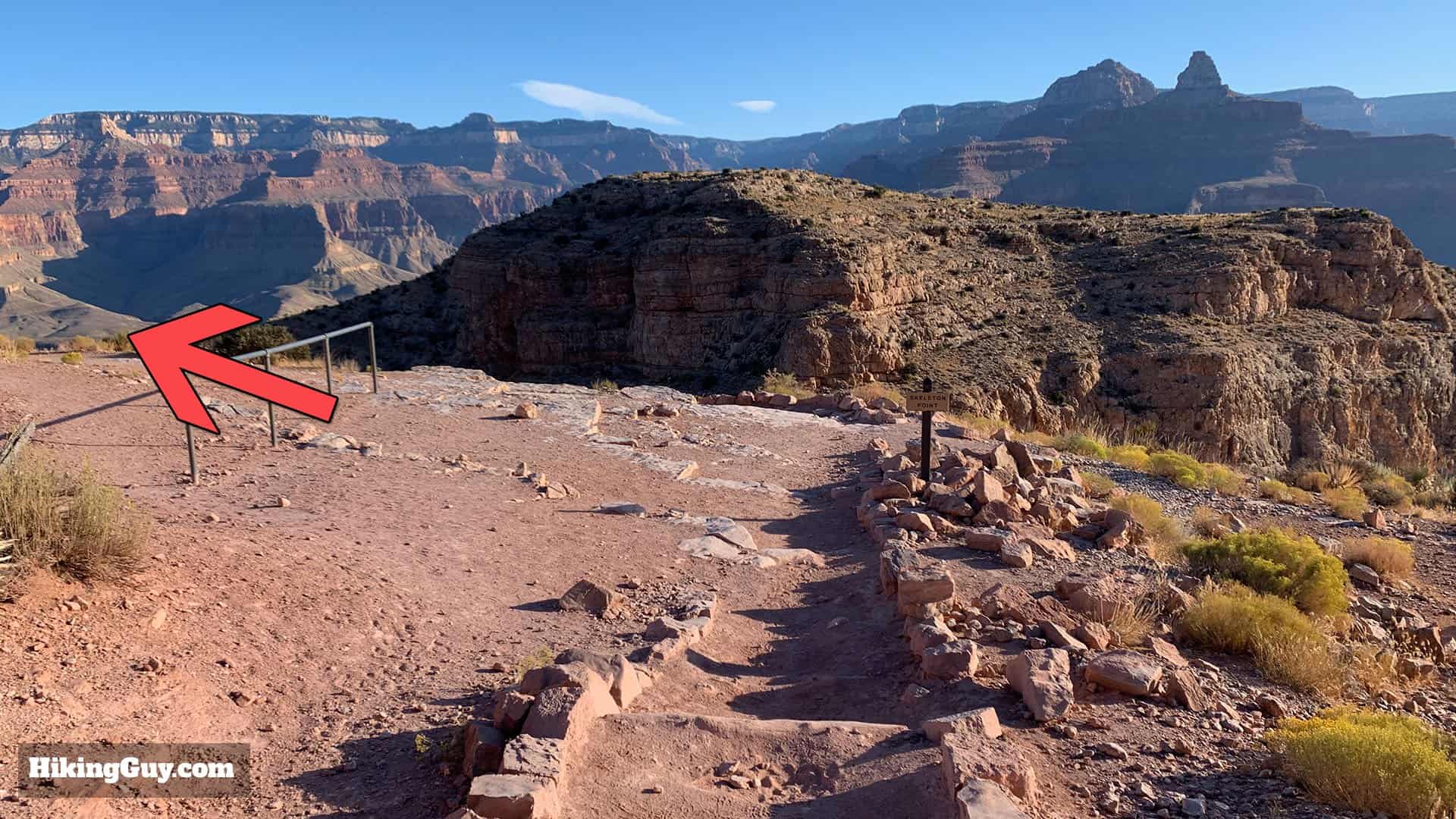
Skeleton Point Back to the Trailhead
Originally published August 11, 2025