Canopy View Trail (Muir Woods)
Hike Stats
- Total Distance
- 3 miles
- Time
- 1.5-2 Hours
- Total Climbing
- 600 feet
- Difficulty
- Moderate
- Crowds
- Moderate
- Dogs
- No Dogs
- Gear
- What I Use
- Weather
- Latest Report
This hike is for you if you want to get away from the crowds and into the Redwood canopy. We'll climb the Canopy View Trail, then make a picturesque descent on the Fern Creek Trail, maybe the prettiest in Muir Woods National Monument. It's moderately challenging with some climbing, but I've seen kids, seniors, and casual folks enjoy it.
Where is Canopy View Trail?
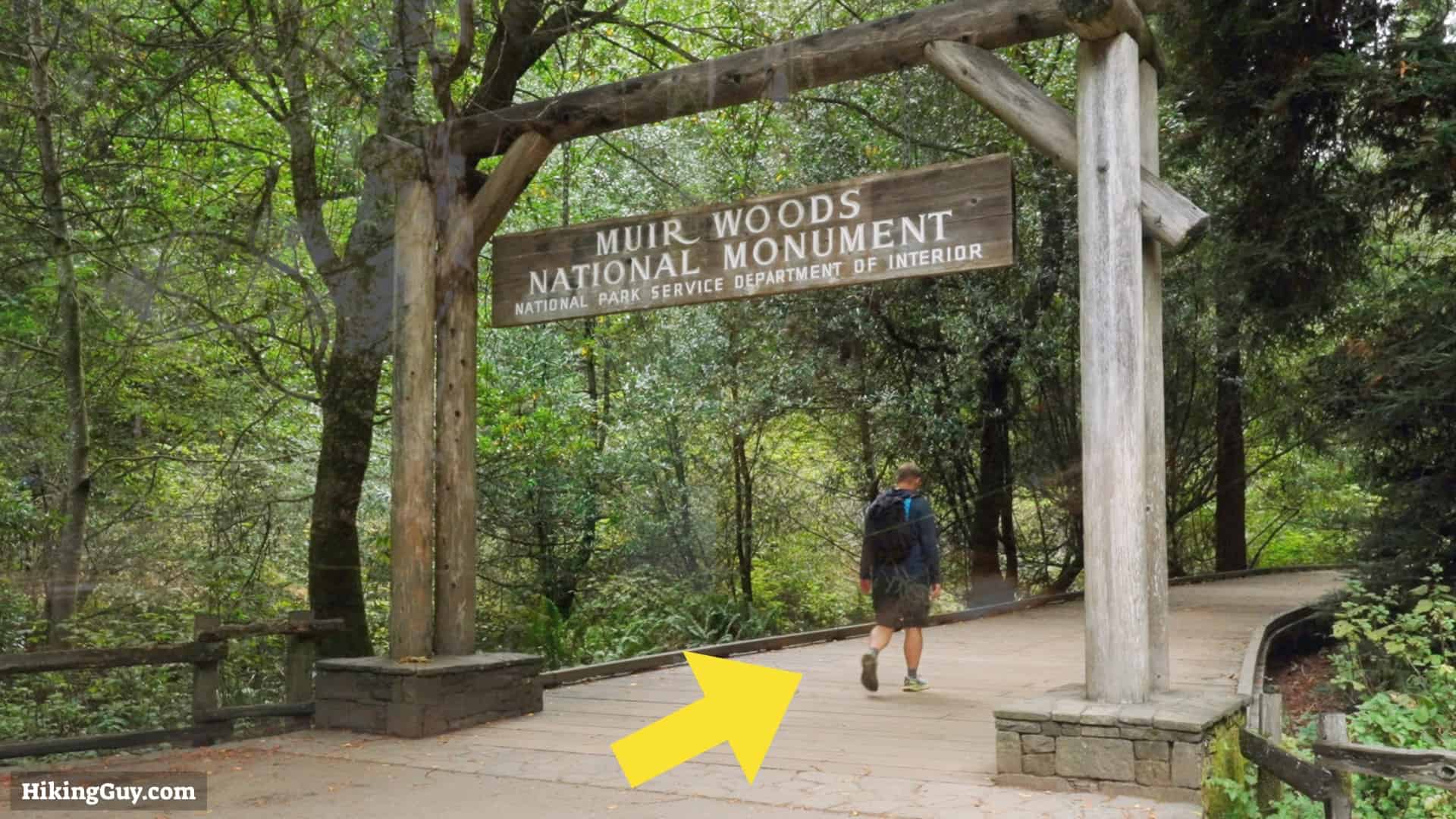
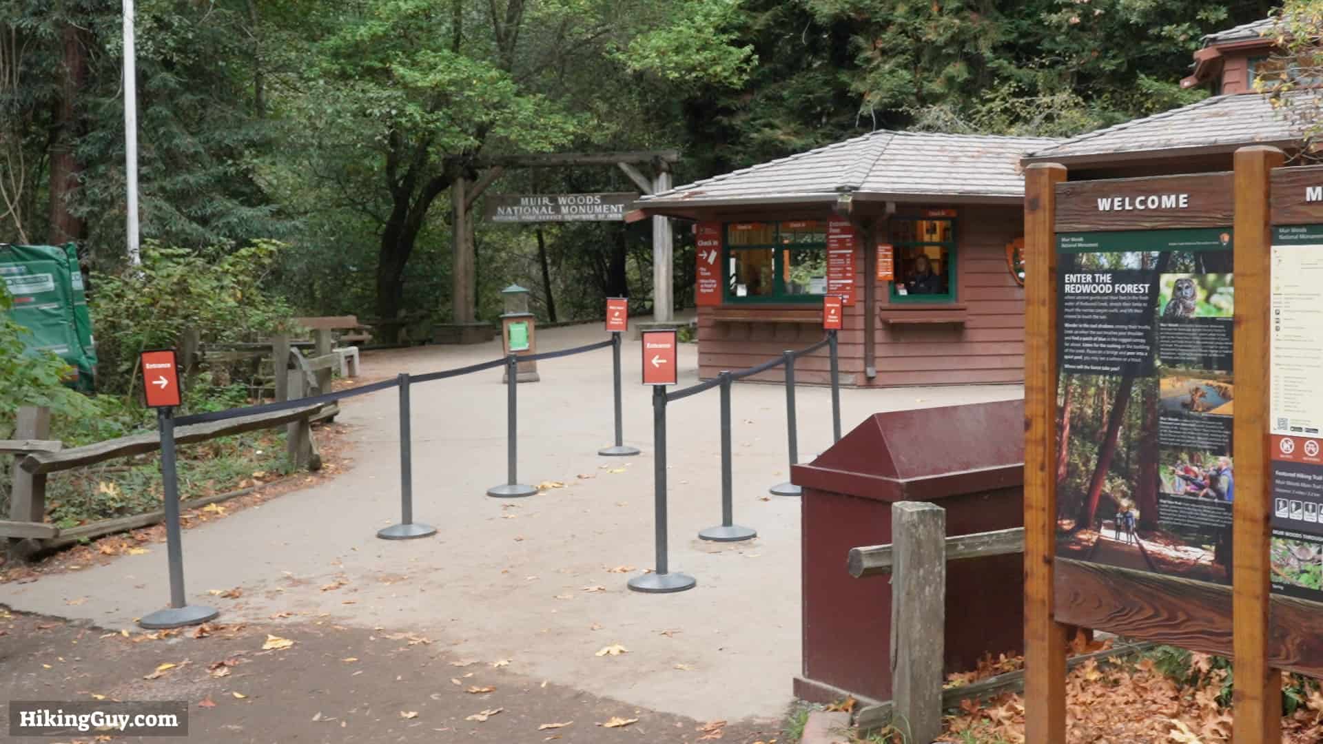
The trailhead for the Canopy View Trail is: Muir Woods Visitor Center, 1 Muir Woods Rd, Mill Valley, CA 94941
Muir Woods is not an easy place to visit.
- The roads there can be windy and narrow.
- There is limited parking, and you must get a timed parking permit to use the lots.
- Public transportation is limited.
- Private tours can be arranged, but you don't have a lot of flexibility.
If you have a car, I'd recommend first visiting the parking and public transportation website at GoMuirWoods.com. Try to get a permit as early as possible. They also have information on the shuttle that runs from the ferry terminal with a limited schedule.
Your other option is to ride-share there, and then taxi back. The problem is that there is no cellular service at the park. But you'll find a payphone at the visitor center (bring coins). I'd write down the number of a taxi company, or even try to book one before-hand.
Gear Recommendations
Fitness clothing and trail runners are your best bet. If you have trekking poles with you, they'll help on the climb and descent. I'd bring 1-2L of water. There's a spot along the way to refill. And don't forget, there's no cellular service here, so having a satellite communicator will come in handy if there's an emergency.
Essentials I’m Using Now
- Garmin inReach Mini 2: Reliable SOS Everywhere on Earth
- Sawyer + CNOC Water Filter: Easy & Reliable Safe Water
- Nitecore NU25 Headlamp: Running late? Get home safe
- Altra Olympus 275: Favorite trail shoes right now, no blisters and very comfy.
- AllTrails Plus (30% off): Offline maps on your phone with the Plus level
- Full December 2025 Gear List →
A big thank you to Overwatch x Rescue for covering the travel expenses for this trip.
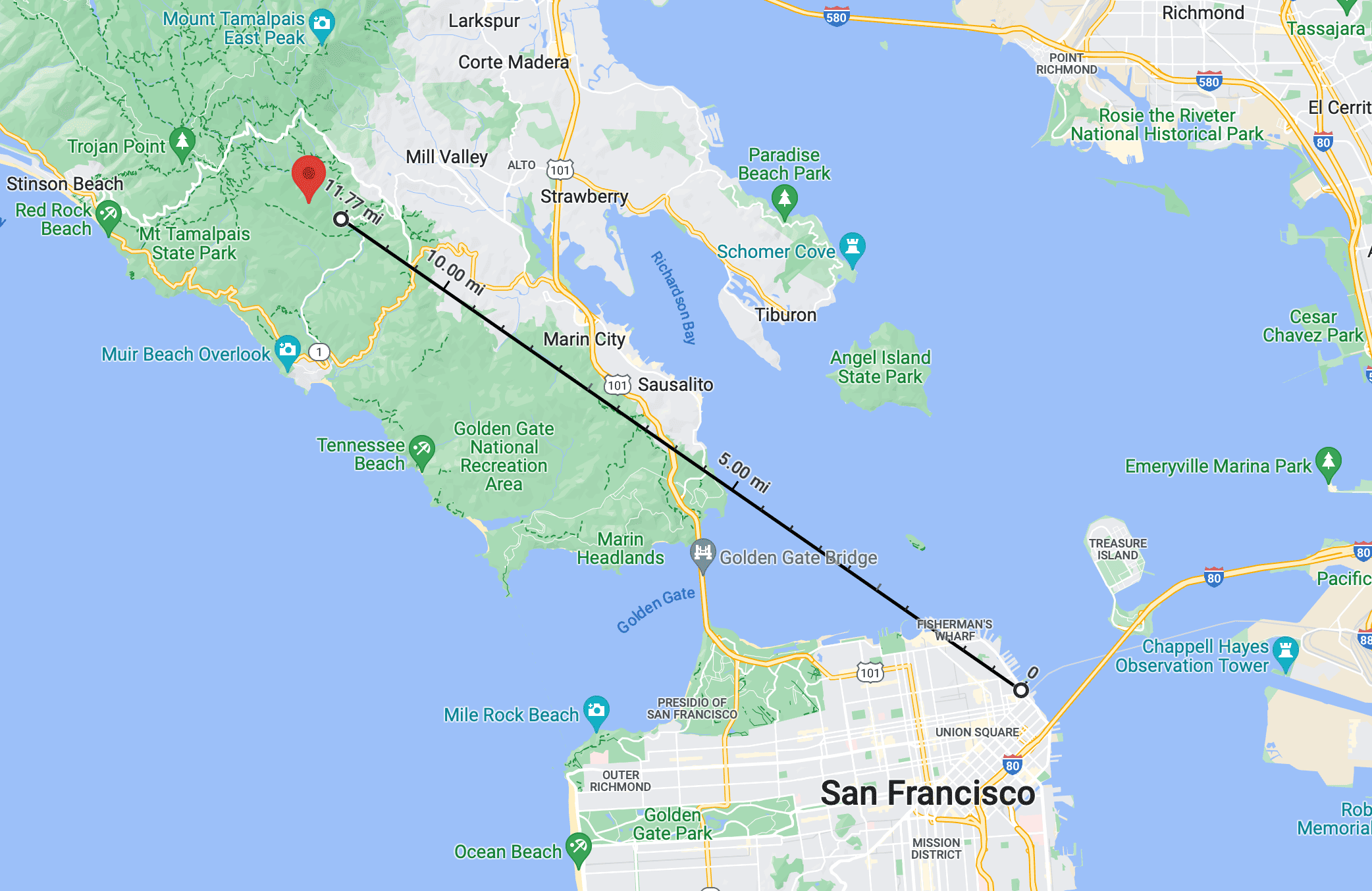
Canopy View Trail Map
There's also a map from the Parks Service you can download here.
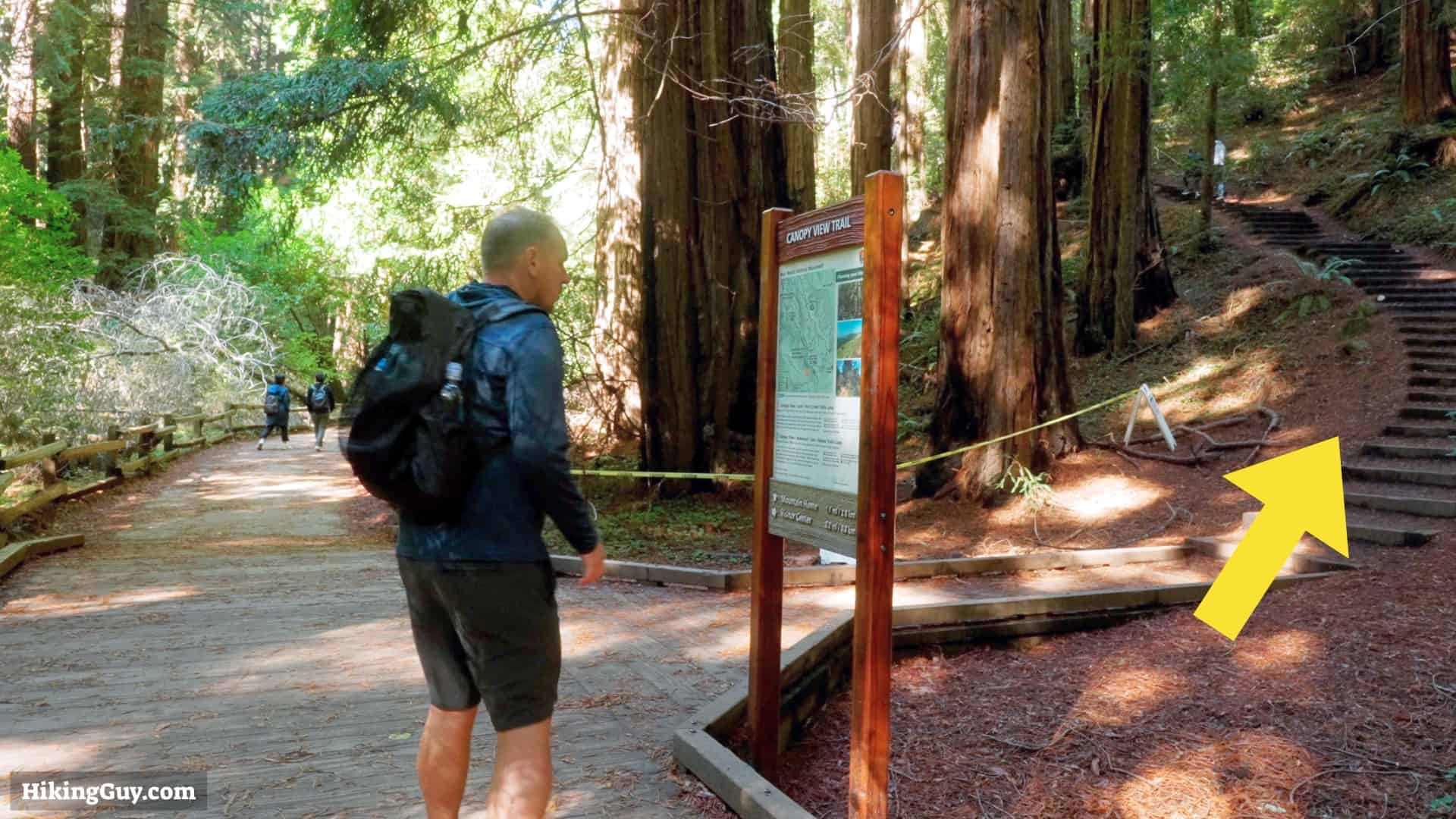
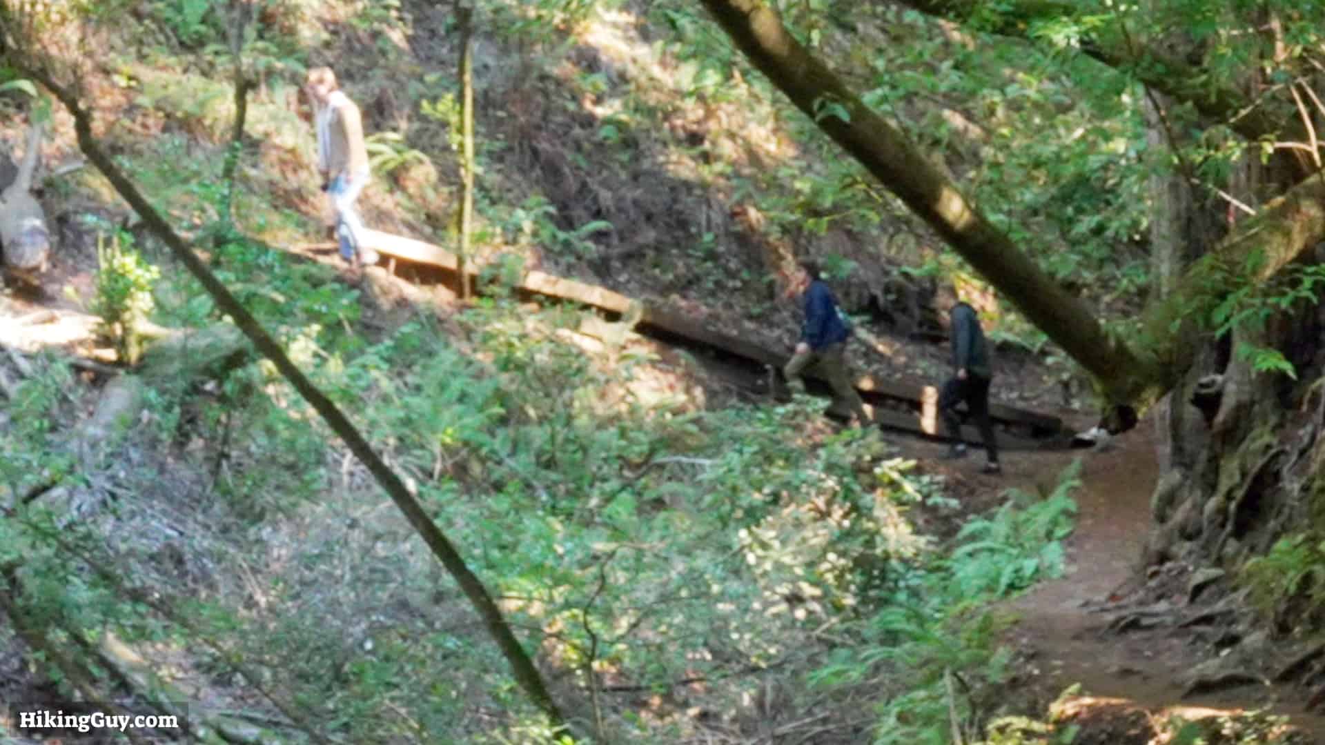
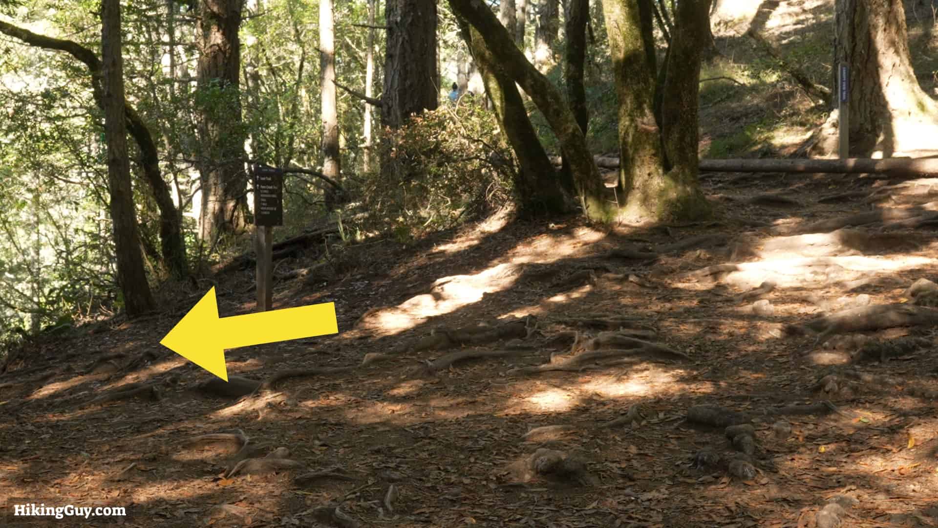
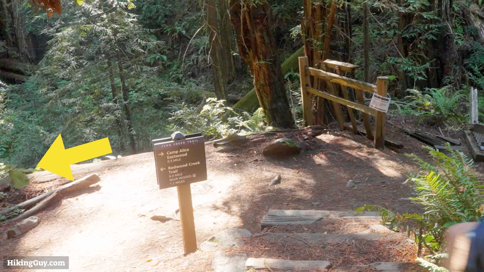
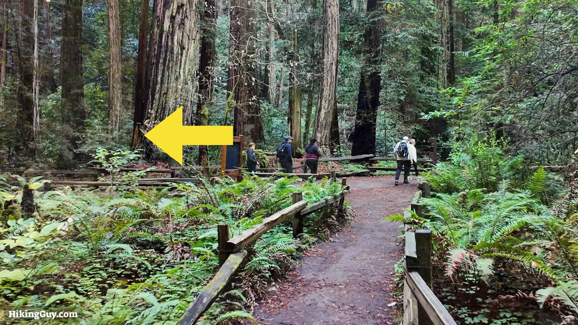
Canopy View Trail Directions