
Guadalupe Peak Hike Guide
At 8,751 feet, Guadalupe Peak is the highest point in Texas and one of the most rewarding hikes in the USA. You’ll climb over 3,000 feet on the Guadalupe Peak Trail, starting in desert scrub and finishing above the clouds on an incredible summit ridge. It’s a tough but doable hike, and in this guide I’ll show you how to hike it safely yourself.
Hike Stats
- Total Distance
- 8.4 miles
- Time
- 4-8 hours
- Total Climbing
- 3000 feet
- Difficulty
- Hard
- Crowds
- Moderate
- Dogs
- No Dogs
- Gear
- What I Use
- Weather
- Latest Report
Where is Guadalupe Peak?
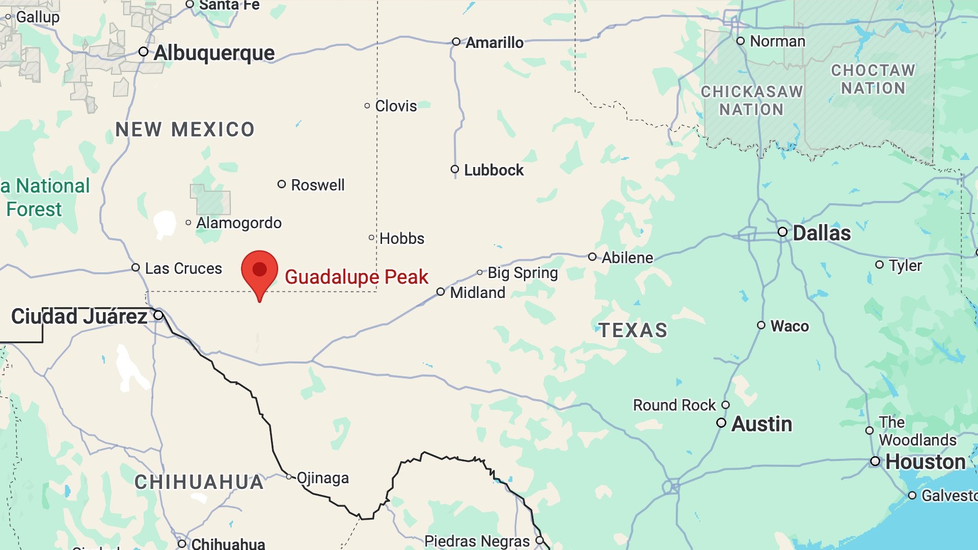
Guadalupe Peak is remote.
- There is no gas station between El Paso and the park, or Carlsbad and the park.
- Bring all the food you need with you.
- You can refill with water at the Visitor Center or at the campground by the trailhead.
- Guadalupe Mountains National Park is situated right on the edge of two time zones (Mountain and Central Standard Time), and the time on your phone could be incorrect.
- If you're wondering where to stay to visit here, there are hotels in El Paso and Carlsbad, or stay at a campground in the park bookable on Recreation.gov.
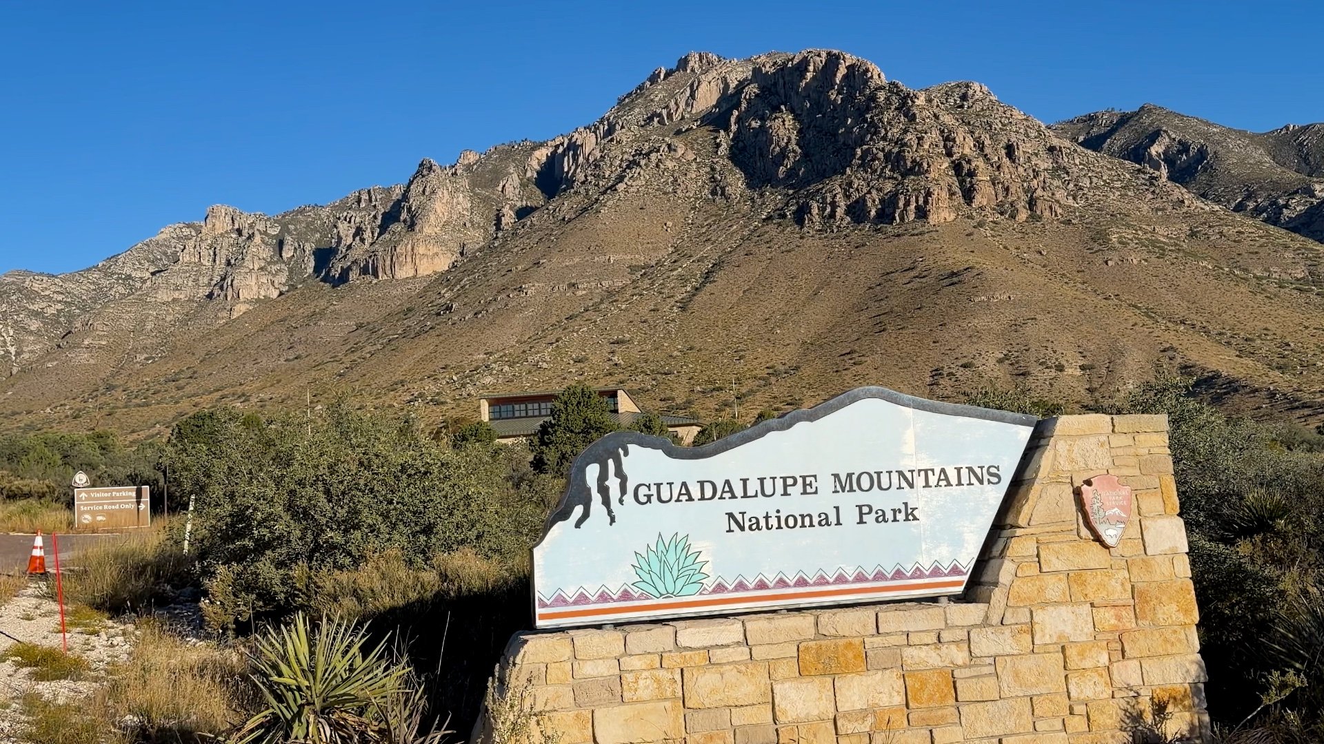

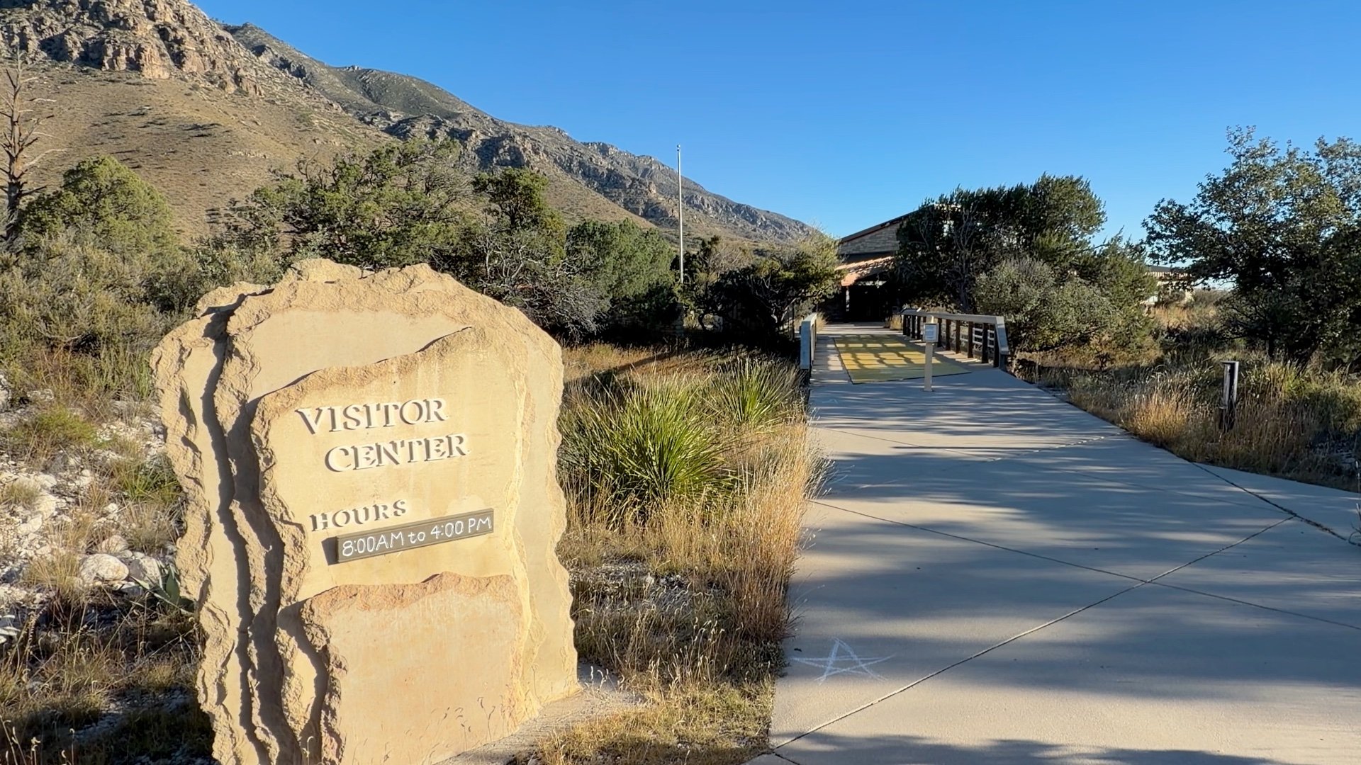
You can pay the entrance fee at the Visitor Center or with credit card machines at the trailheads.
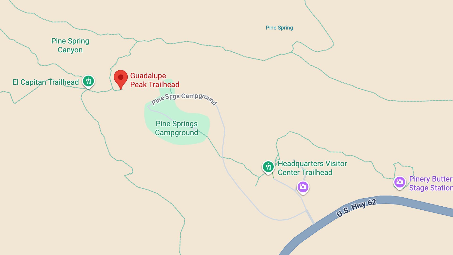
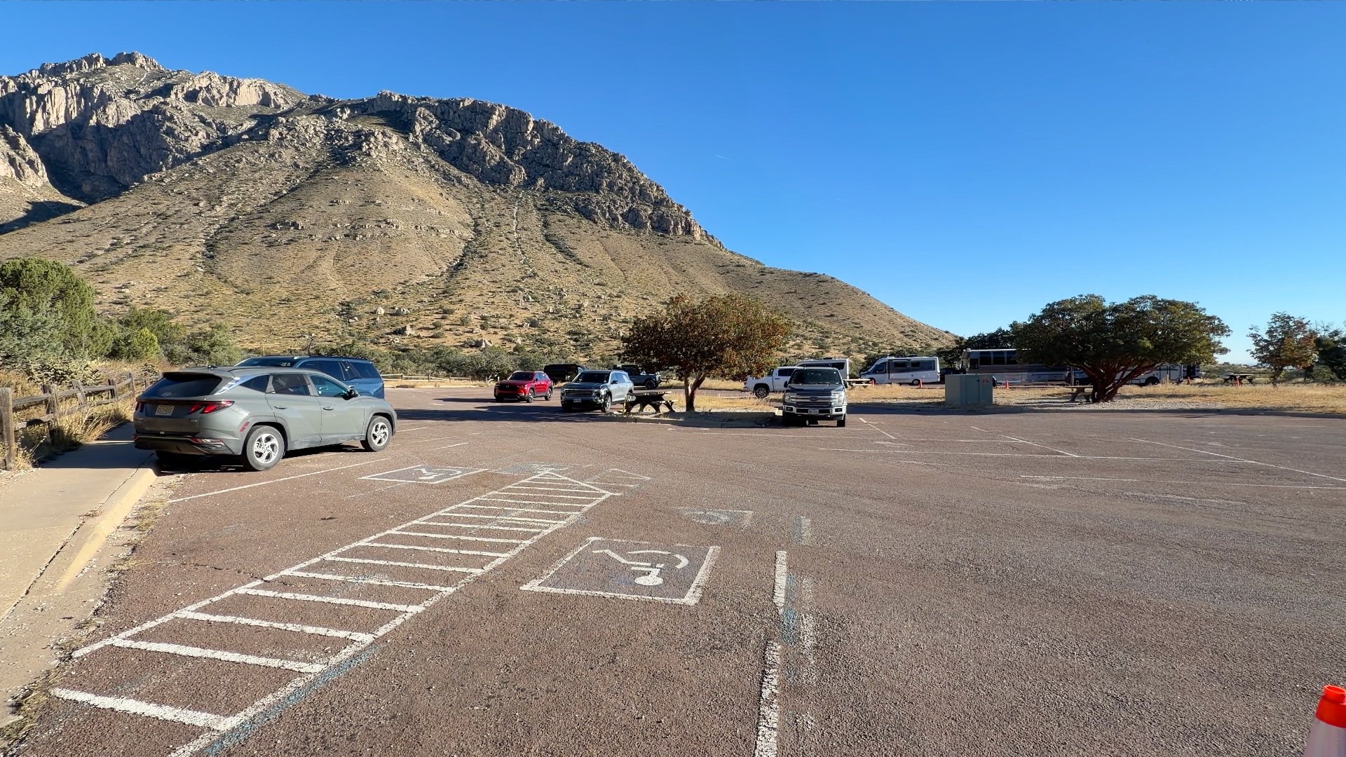
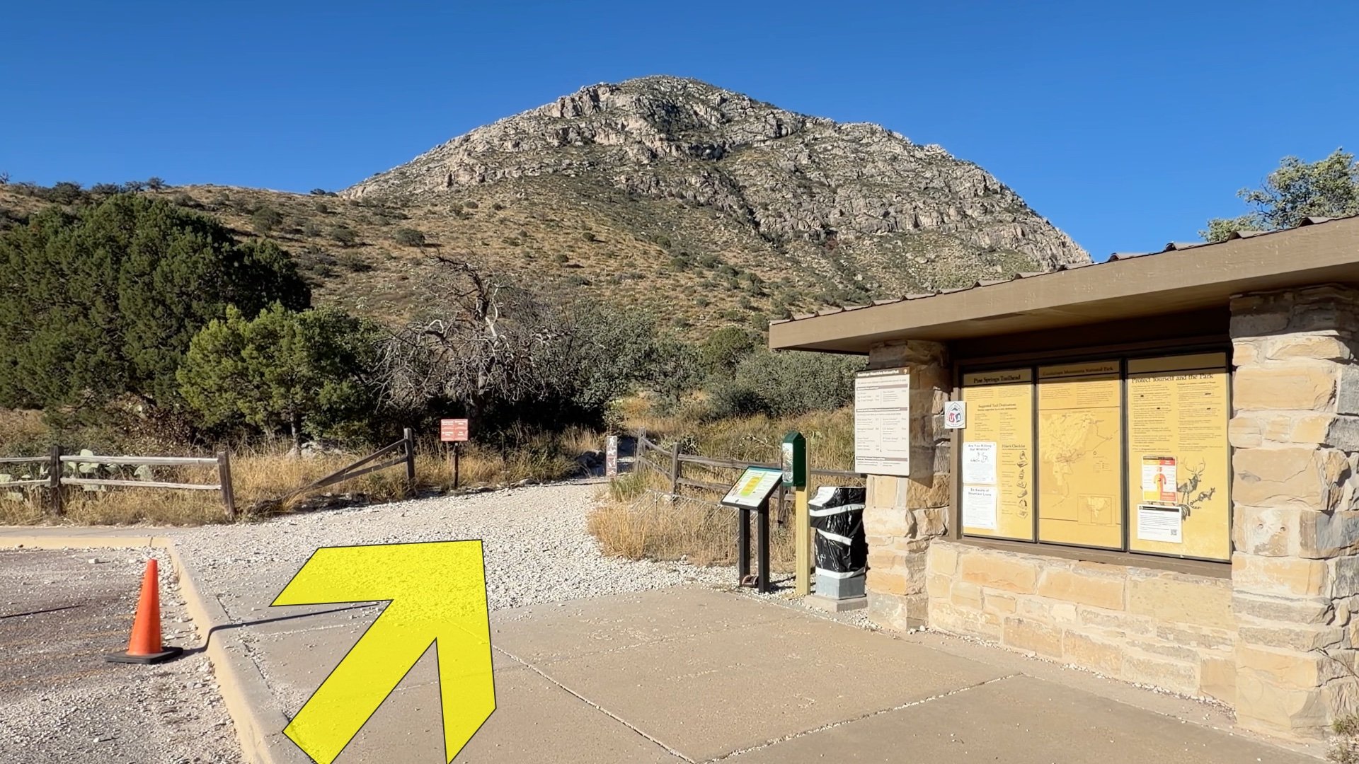
Parking can be a big challenge for this hike. The main lot has about 44 spaces, but they can fill up quickly. Your best bet is to arrive at sunrise for the hike and you're generally assured to get a spot. As the morning progresses it can get tougher and tougher, and often after 730am the parking lot can be full. If the lot is full, you'll have to park at the Visitor Center (also not a big lot) and walk up from there. I'd say if you're going to come all the way here to do the hike, get here around sunrise.

Staying Safe

- The main thing to watch out for is the weather. Conditions at 8,751 feet can be very different from those at the trailhead, so check the mountain forecast as well as the trailhead forecast before you go. I've heard that sometimes when the weather is extreme the rangers will turn hikers back before the summit. If the weather is questionable, call the Visitor Center.
- Rattlesnakes live here and are most active in warmer months. If you see one sunning on the trail, give it space and wait for it to move off. They’re not aggressive unless provoked. If you’re putting your hands on rocks, look first, snakes often shelter in crevices.
- If you have a medical condition affected by exertion or altitude, take it slow. The hike gains about 3,000 feet starting at roughly a mile above sea level, and it can be strenuous if you’re not used to big climbs.
- Afternoon thunderstorms are frequent in summer, and lightning is a serious risk on the exposed upper slopes and summit. If the weather turns bad, turn around.
- Watch your footing on the way back down. The trail is rocky and it can be easy to roll an ankle.
Gear Recommendations
- As I mentioned earlier, the summit has its own weather, so prepare by bringing an extra layer and shell. The winds can get up to 50-80 mph, so prepare accordingly.
- Trekking poles are helpful when pacing uphill and when descending.
- Trail runners work great on the Guadalupe Peak Trail.
- Bring at least 3L of water, more if it's hot out. There are no springs or water sources along the hike. You can fill up at the campground by the trailhead or at the Visitor Center. I bring my full water with me before leaving for the park just in case those water sources are not in service.
- Snacks like trail mix and protein bars are a good bet.
- Most of the trial is exposed, so bring sun protection.
- This is a proper backcountry hike, so make sure you have the essentials to stay overnight if you need to. That includes a headlamp in case you get caught out after dark on the descent.
- Most of the hike has okay cell phone coverage so you can call 911, but I bring a satellite SOS device just in case.
Essentials I’m Using Now
- Garmin inReach Mini 2: Reliable SOS Everywhere on Earth
- Sawyer + CNOC Water Filter: Easy & Reliable Safe Water
- Nitecore NU25 Headlamp: Running late? Get home safe
- Altra Olympus 275: Favorite trail shoes right now, no blisters and very comfy.
- AllTrails Plus (30% off): Offline maps on your phone with the Plus level
- Full December 2025 Gear List →
Camping on Guadalupe Peak

There’s a small backcountry campground about a mile below the summit, accessible only by hiking up the Guadalupe Peak Trail. It has a few tent pads and no water, so you’ll need to carry everything you need, including extra water for the night and descent. Camping here gives you a head start for sunrise or sunset at the summit, but be prepared for strong winds and cold temperatures, even in warmer months. Permits are required and available at the Pine Springs Visitor Center or on Recreation.gov in advance.
After the first mile or so of climbing, it enters the Guadalupe Mountains Wilderness, and from there all human waste and toilet paper must be carried out. Bring a WAG Bag in case you have to "take care of business."
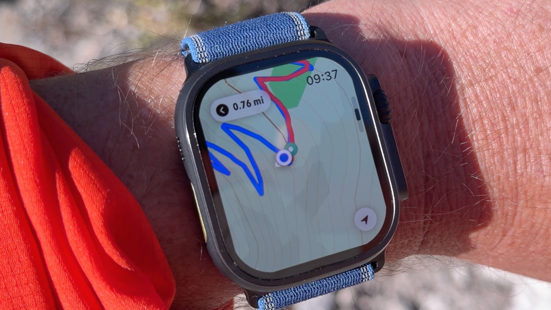
Guadalupe Peak Trail Maps
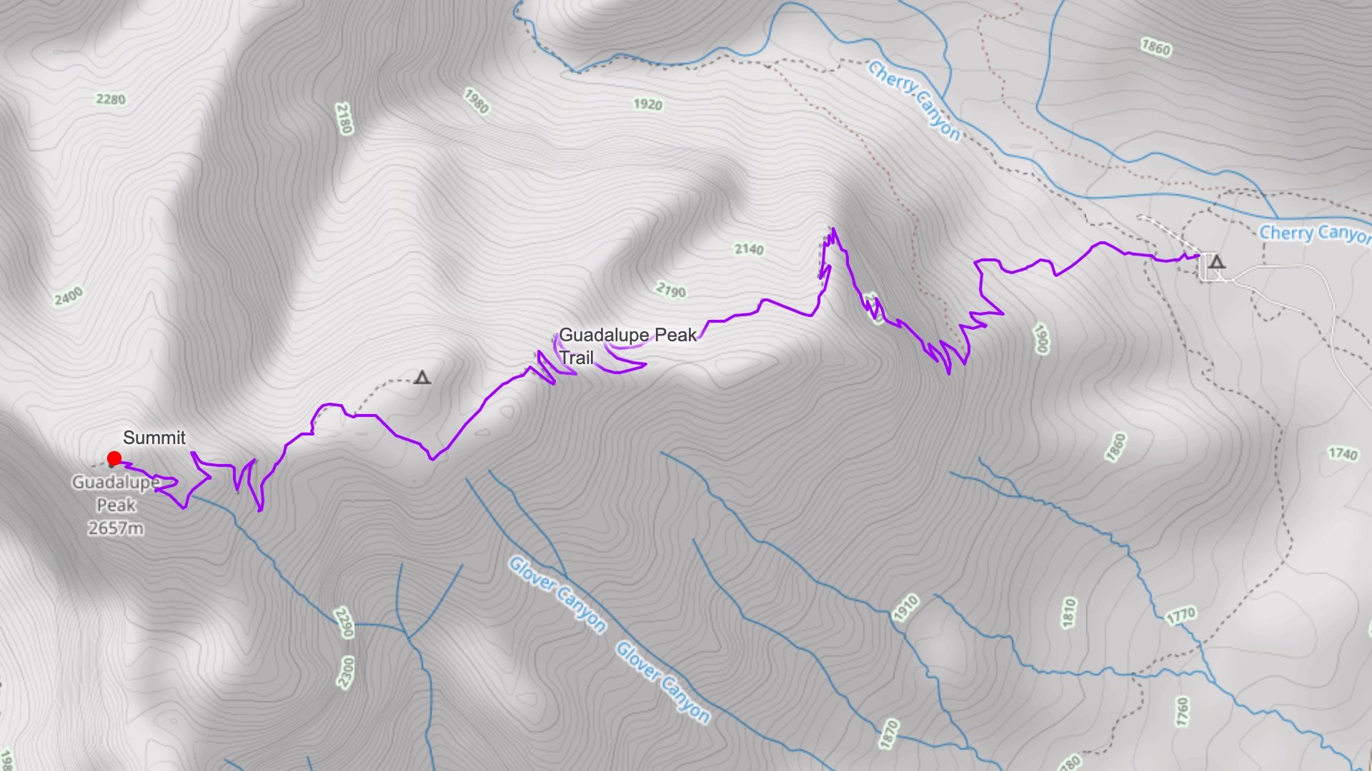 View Interactive Map
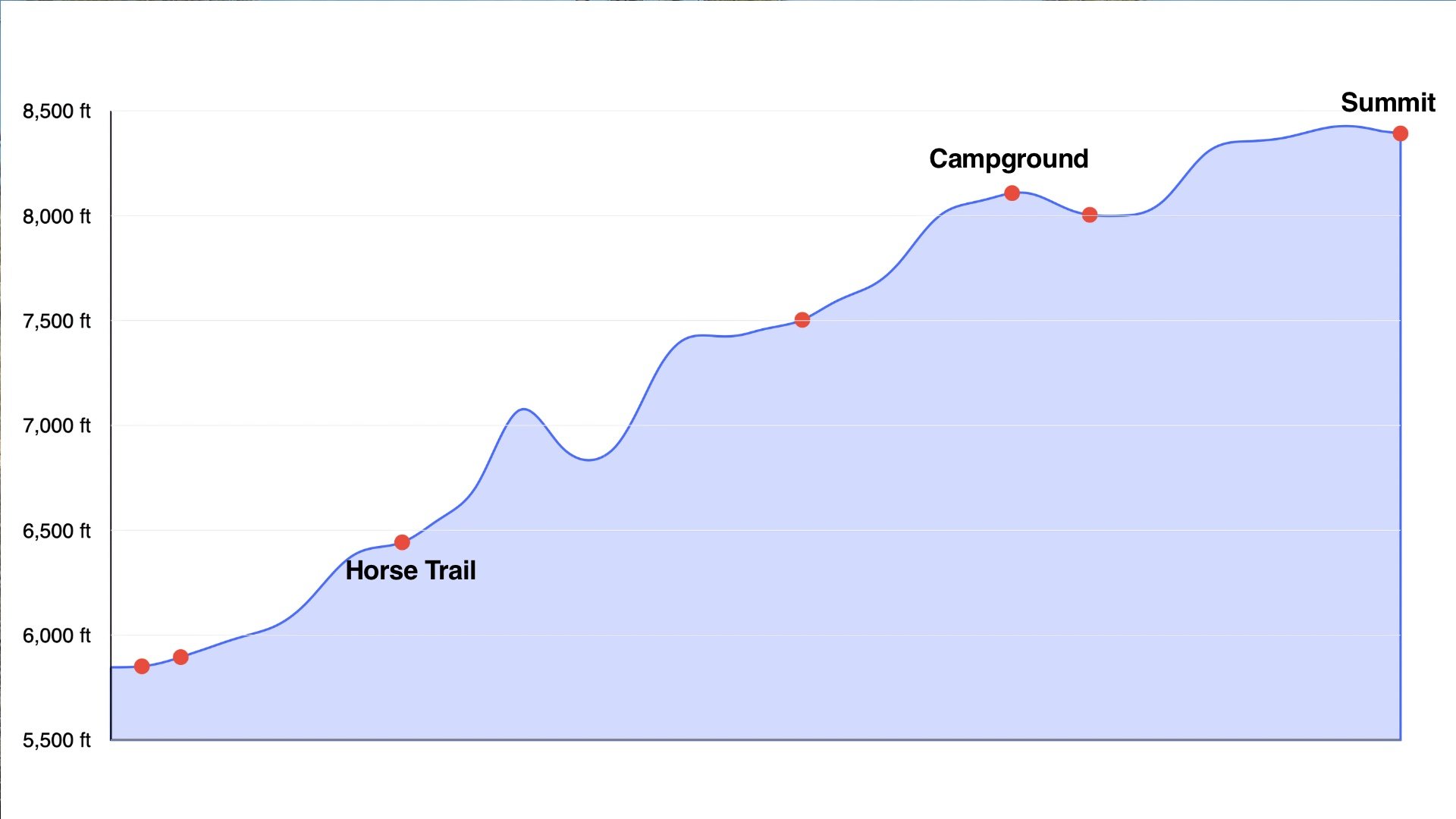
Elevation Profile
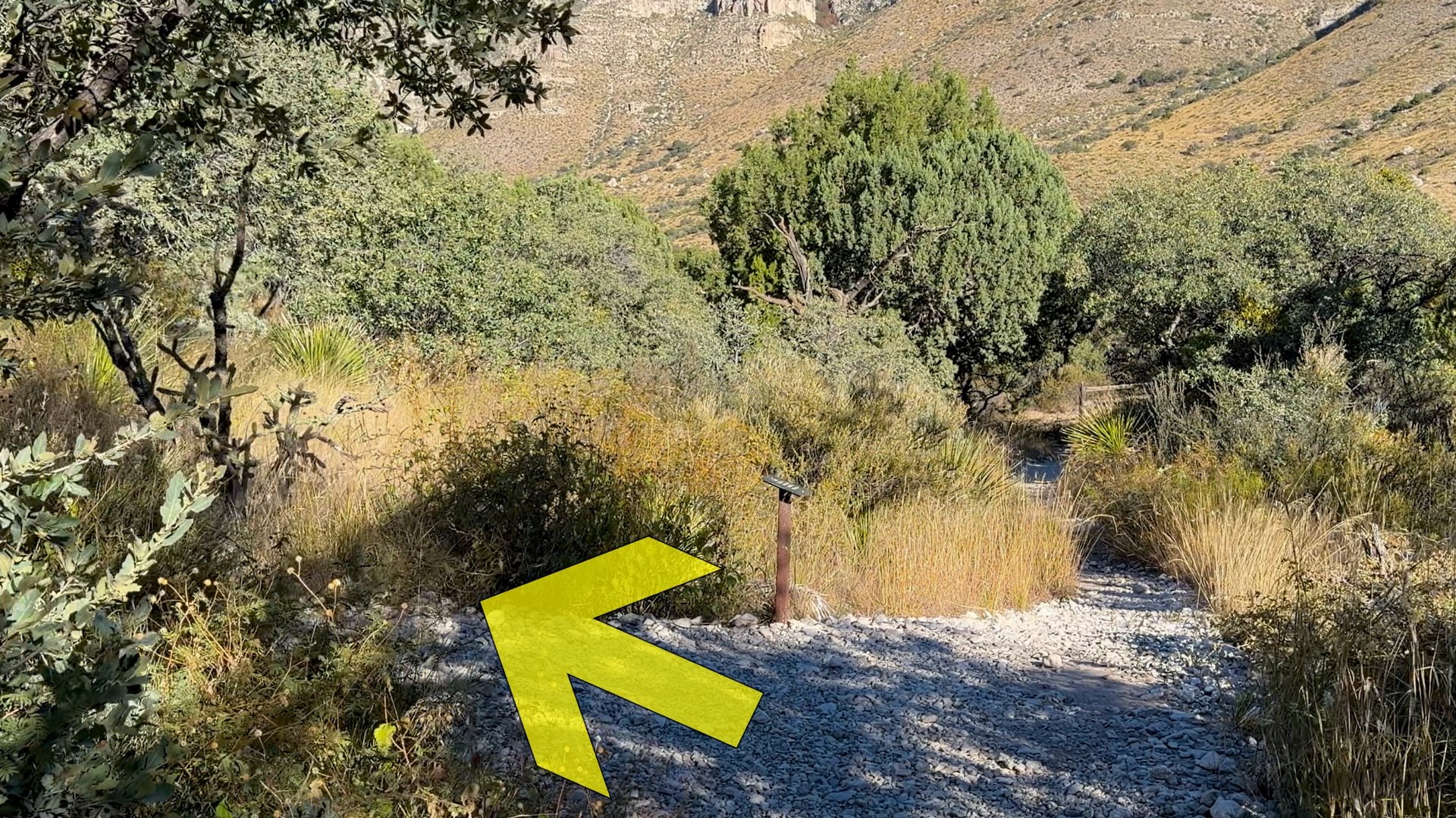
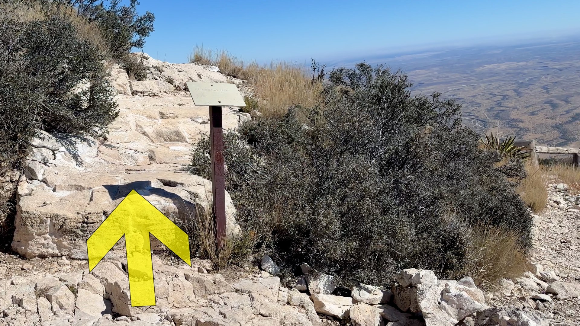
Guadalupe Peak Hike Directions
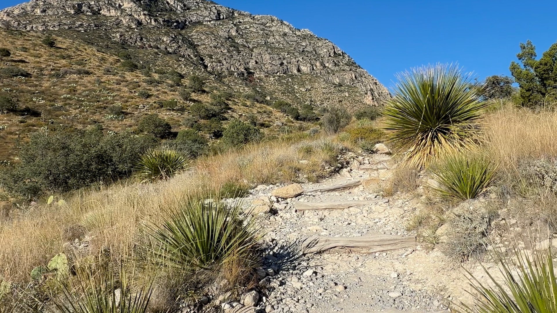
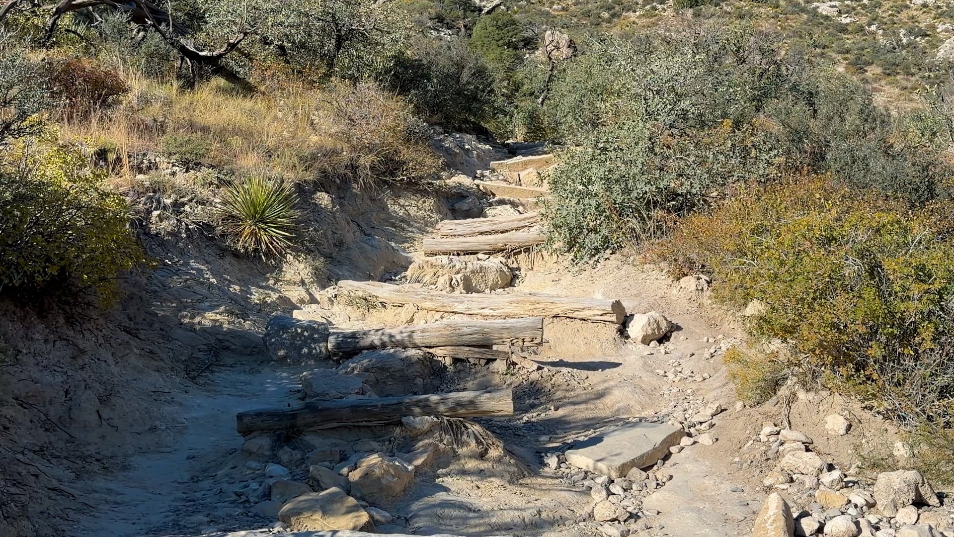
Mile 0 - 1.5: The Big Effort
The first 1.5 miles is the hardest part for many hikers. It's steep, rocky, and doesn't offer many spots to catch your breath.
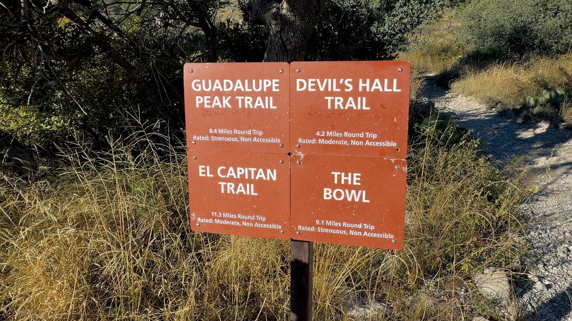

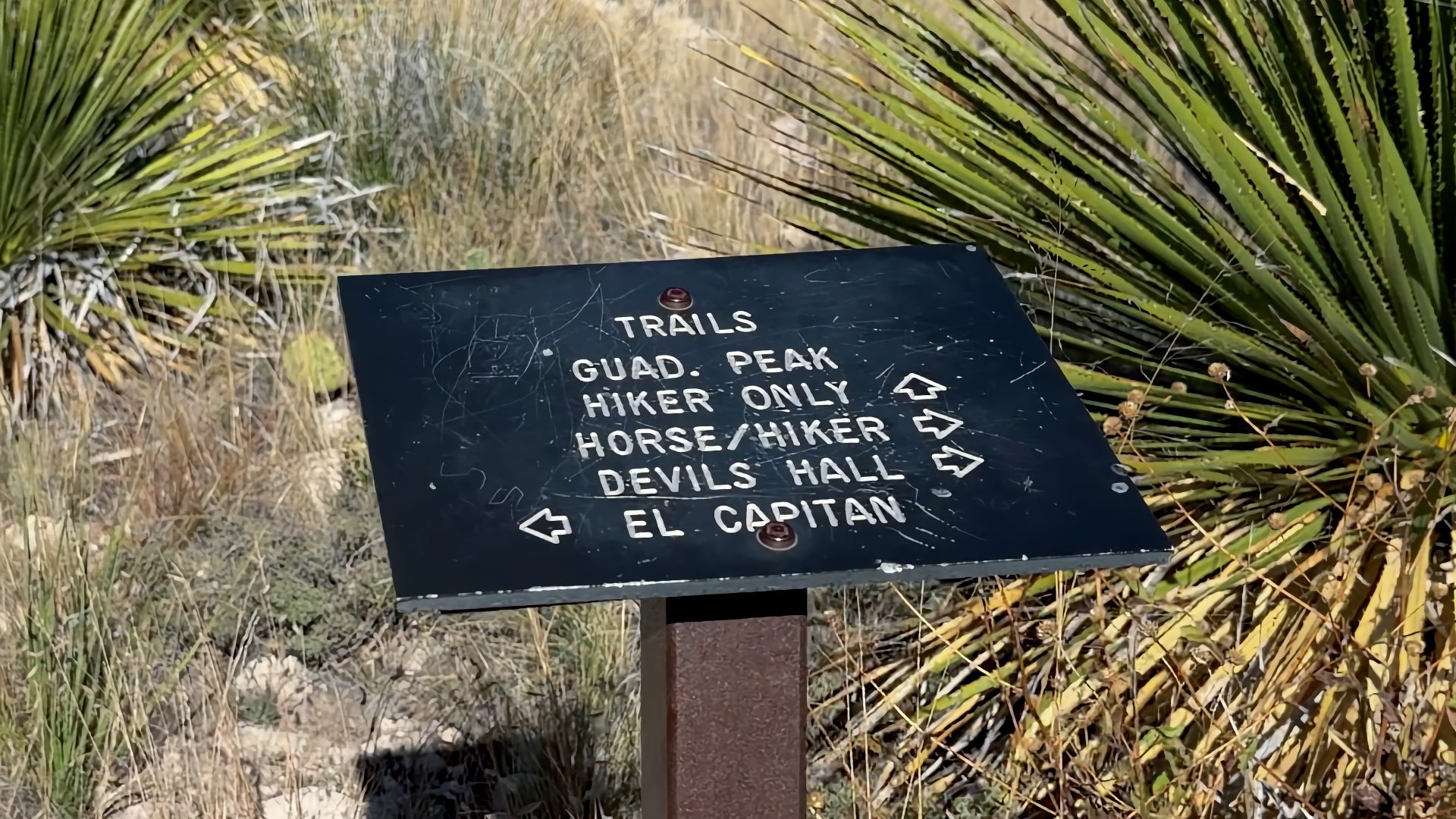
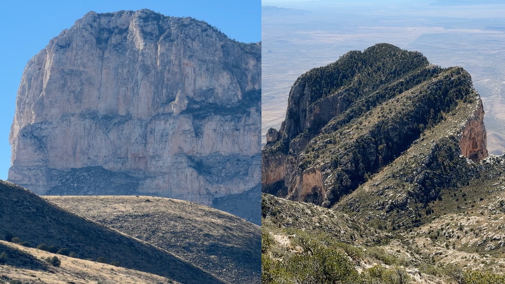
The El Capitan Trail goes to a viewpoint below it. There is no official trail to the top of El Capitan.
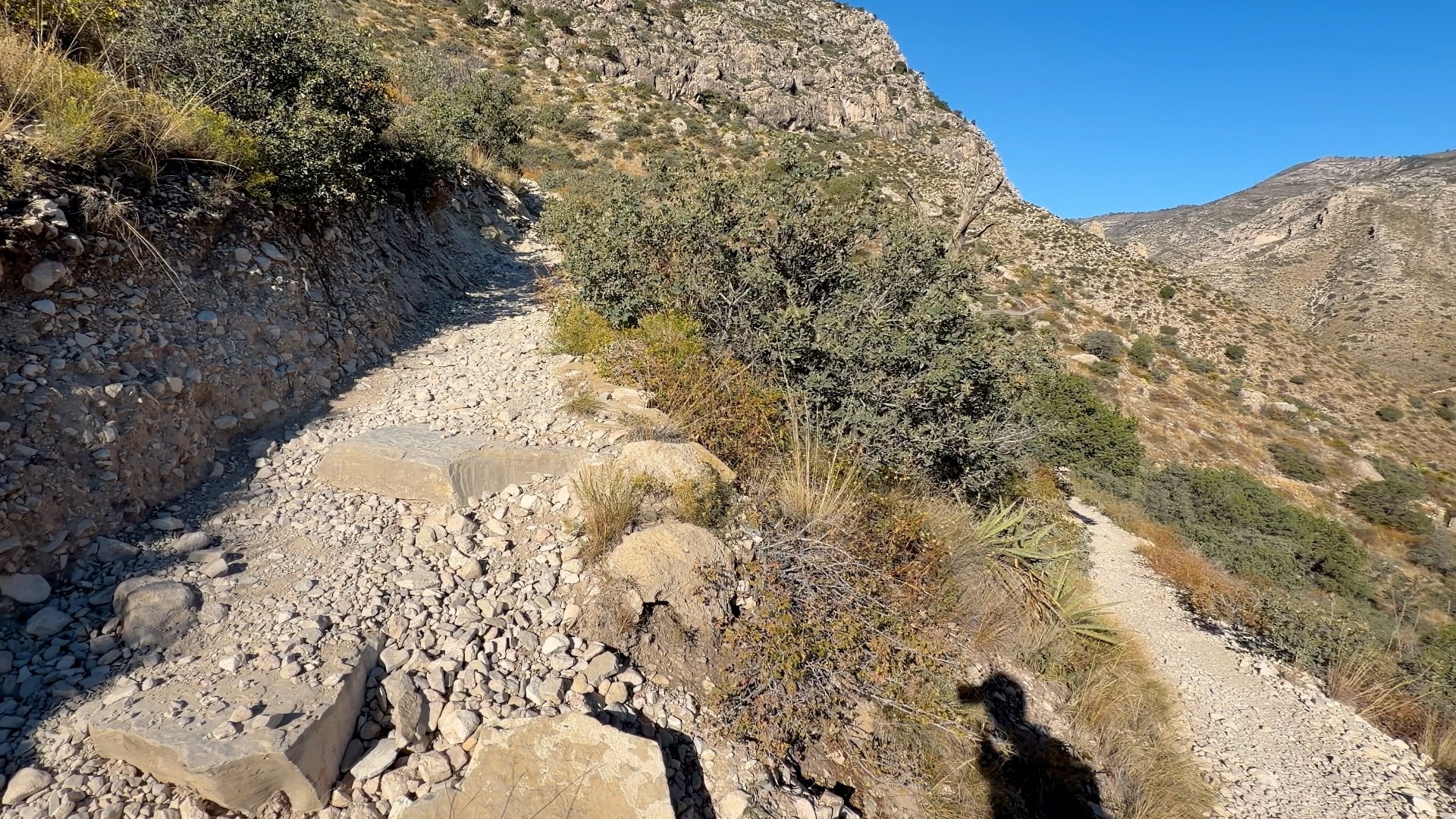


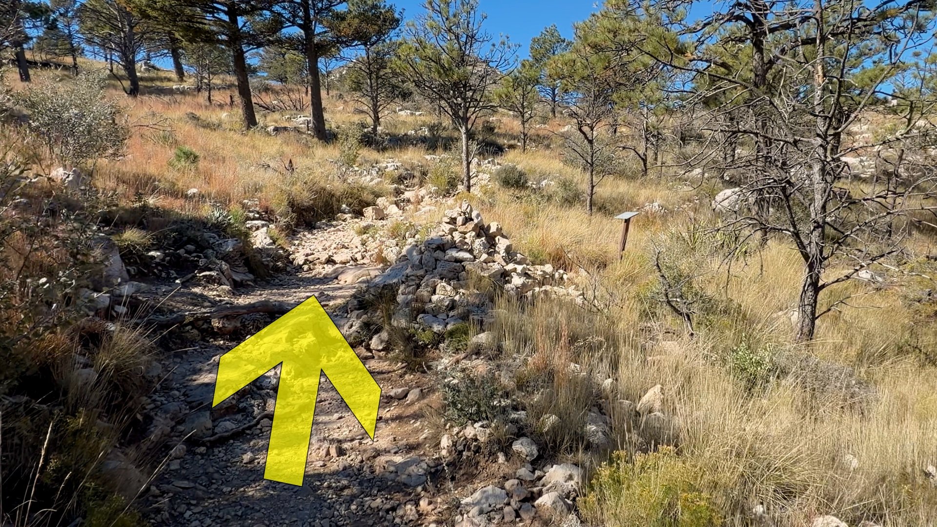
Mile 1.5-3.3: The Breather
After the initial tough climb, the grade eases and you traverse a north-facing slope where the cooler temperatures allow for evergreens like Douglas Fir and Ponderosa Pines.


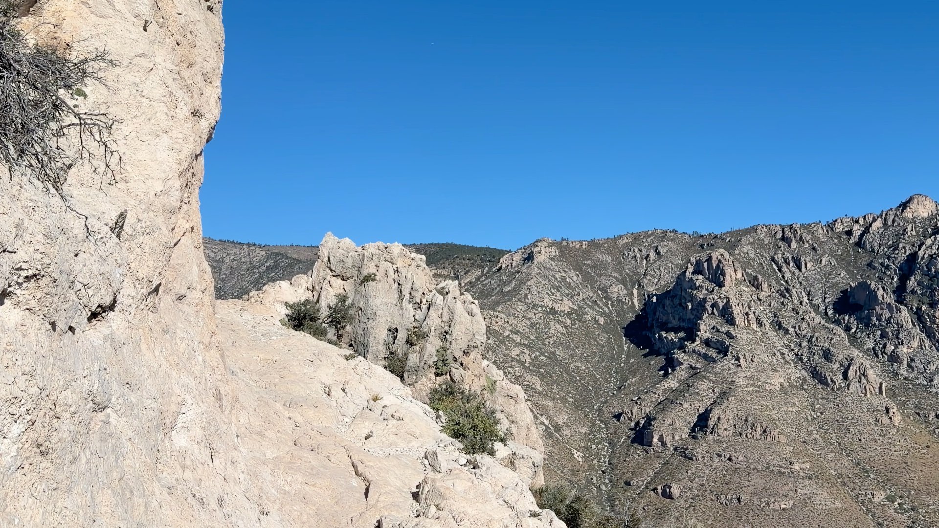
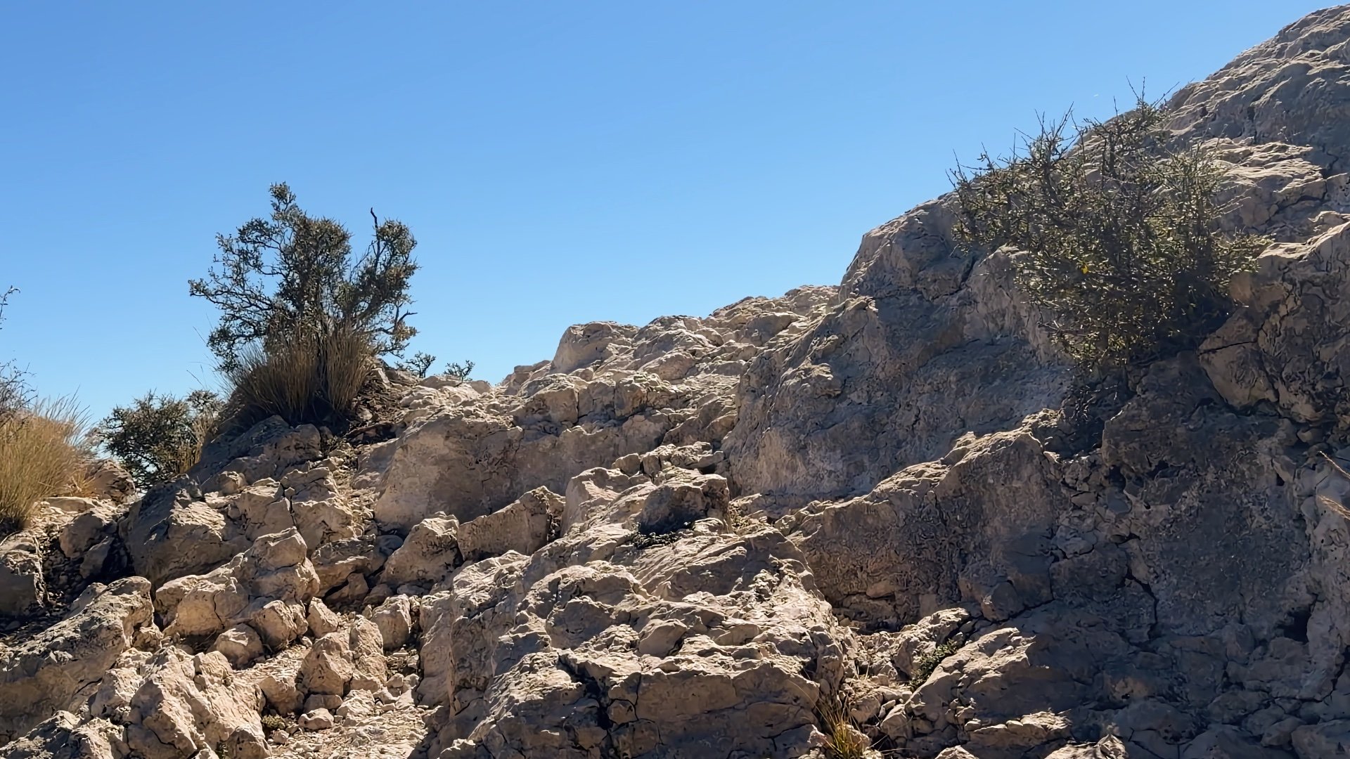
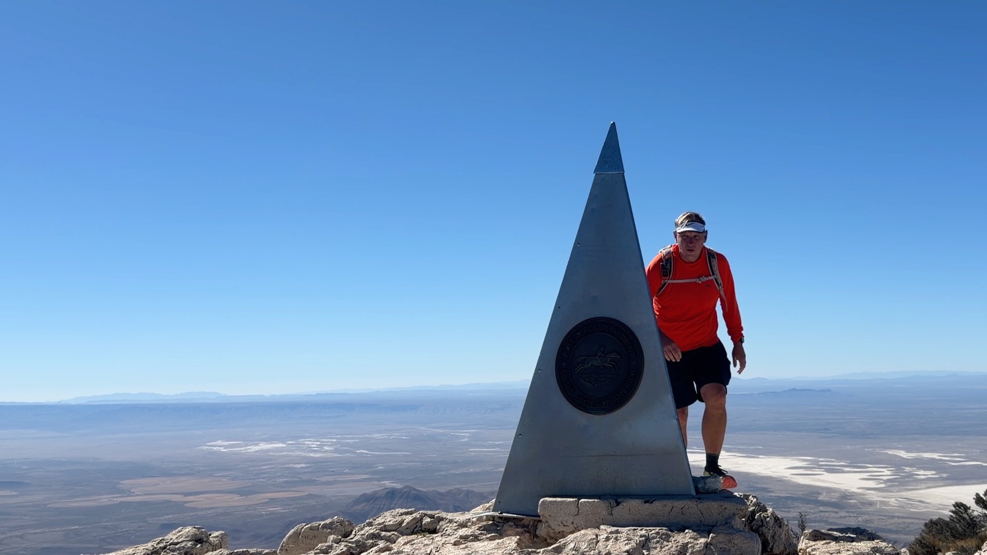
Mile 3.4-4.2: The Last Push
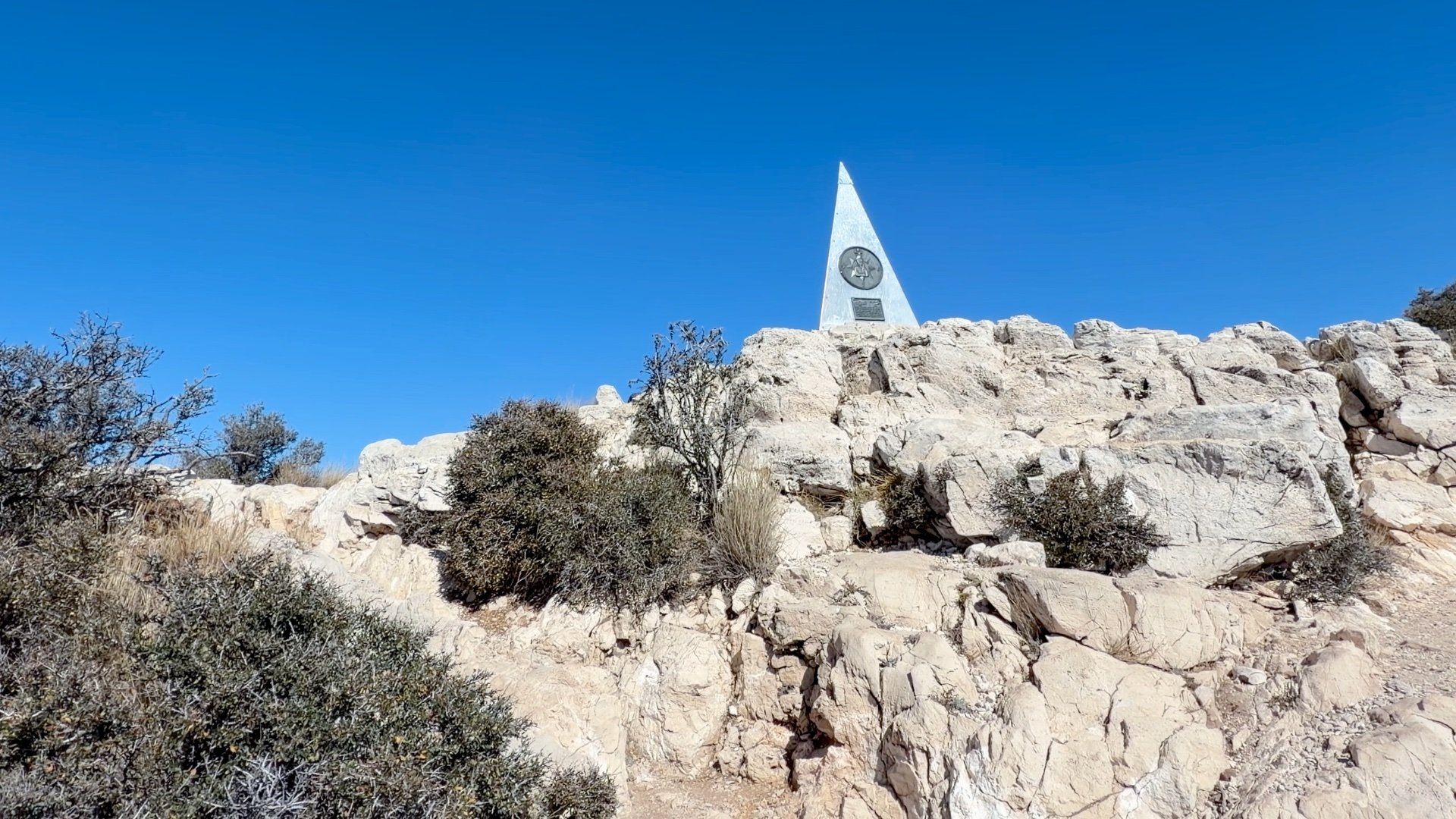
There's no getting around it, the last mile to the summit is steep and tough, especially if you're not used to the effort or altitude. Take your time, take breaks, and take it step by step.
Miles 4.2-8.4: The Descent
Don't underestimate the return journey. Many hikers find concentrating on footing during the 4.2-mile descent to be surprisingly difficult and fatiguing. The constant downhill impact on the steep, rocky terrain can be tough on the knees and leg muscles. Trekking poles really come in handy on this stretch.