
High Point NJ Hike
Hike Stats
- Total Distance
- 2.8 miles
- Time
- 1.5-2.5 Hours
- Total Climbing
- 540 feet
- Difficulty
- Easy
- Crowds
- Quiet
- Dogs
- Leashed
- Gear
- What I Use
- Weather
- Latest Report
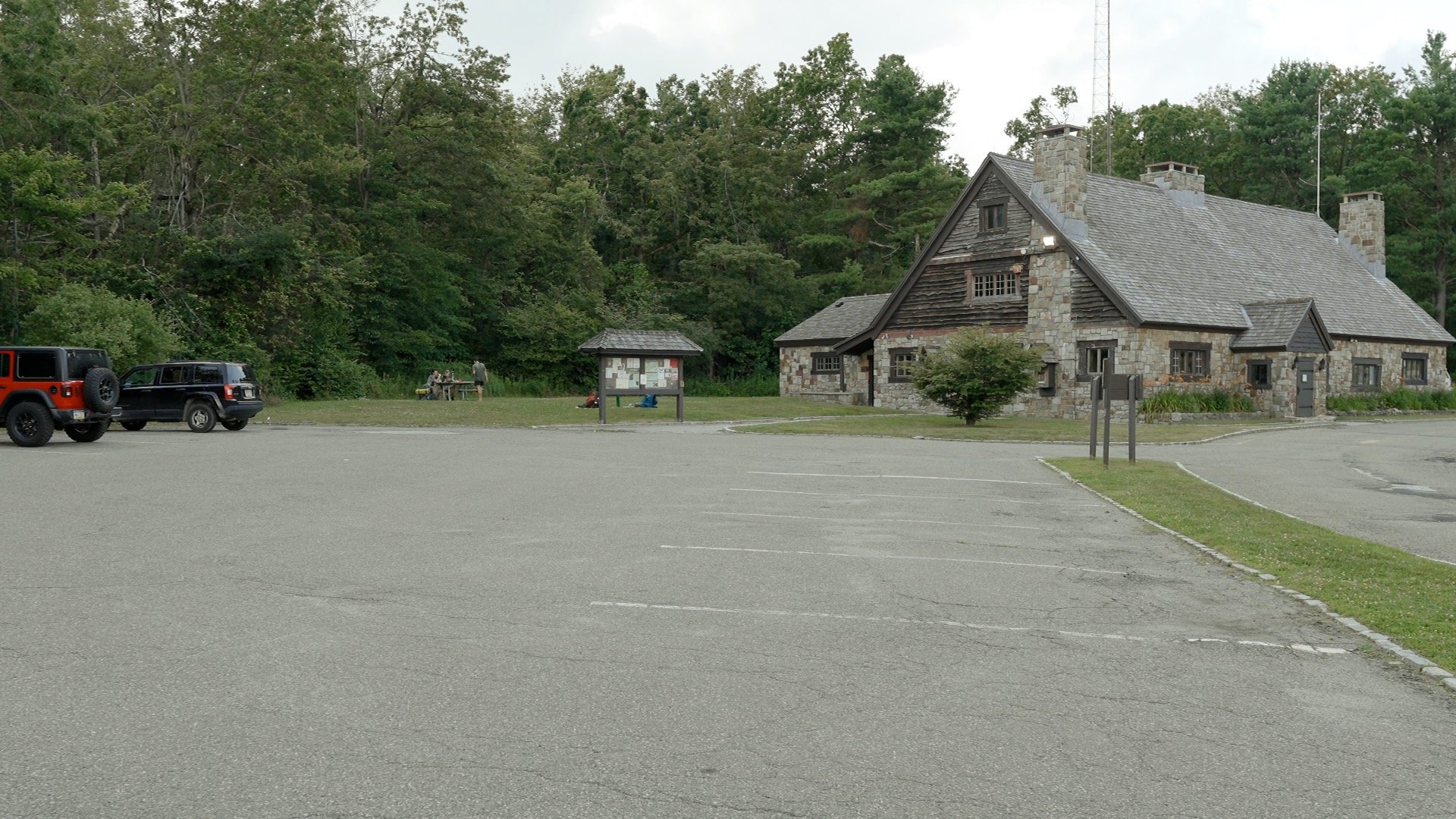
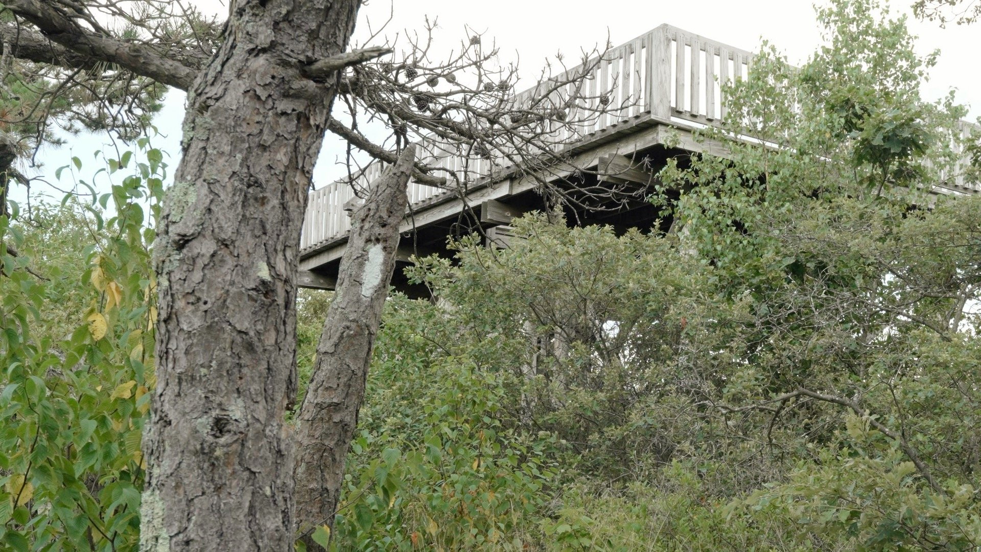
You can drive to the top of High Point, but this short hike gives you just enough effort to make it feel earned. You’ll hike a mellow stretch of the Appalachian Trail and reach a scenic overlook that most visitors don’t know about and can’t access by car. From there, it’s a short stretch of trail to the monument at New Jersey’s highest point.
Where is High Point?


Gear Recommendations
- You're best served by trail runners or sneakers with a good grip. The trail is rocky in spots, but full hiking boots are overkill. Just look at the Appalachian Trail hikers, 99% of which are in trail runners.
- Ticks and bugs are a thing here. Wear insect repellent.
- Bring at least 0.5L of water.
- If you're doing this in the winter, the rocky trail can also be icy. Bring micro-spikes and trekking poles if that's the case.
Essentials I’m Using Now
- Garmin inReach Mini 2: Reliable SOS Everywhere on Earth
- Sawyer + CNOC Water Filter: Easy & Reliable Safe Water
- Nitecore NU25 Headlamp: Running late? Get home safe
- AllTrails Plus (30% off): Good All-Around Hiking App
- Full October 2025 Gear List →
High Point NJ Trail Maps
Elevation Profile

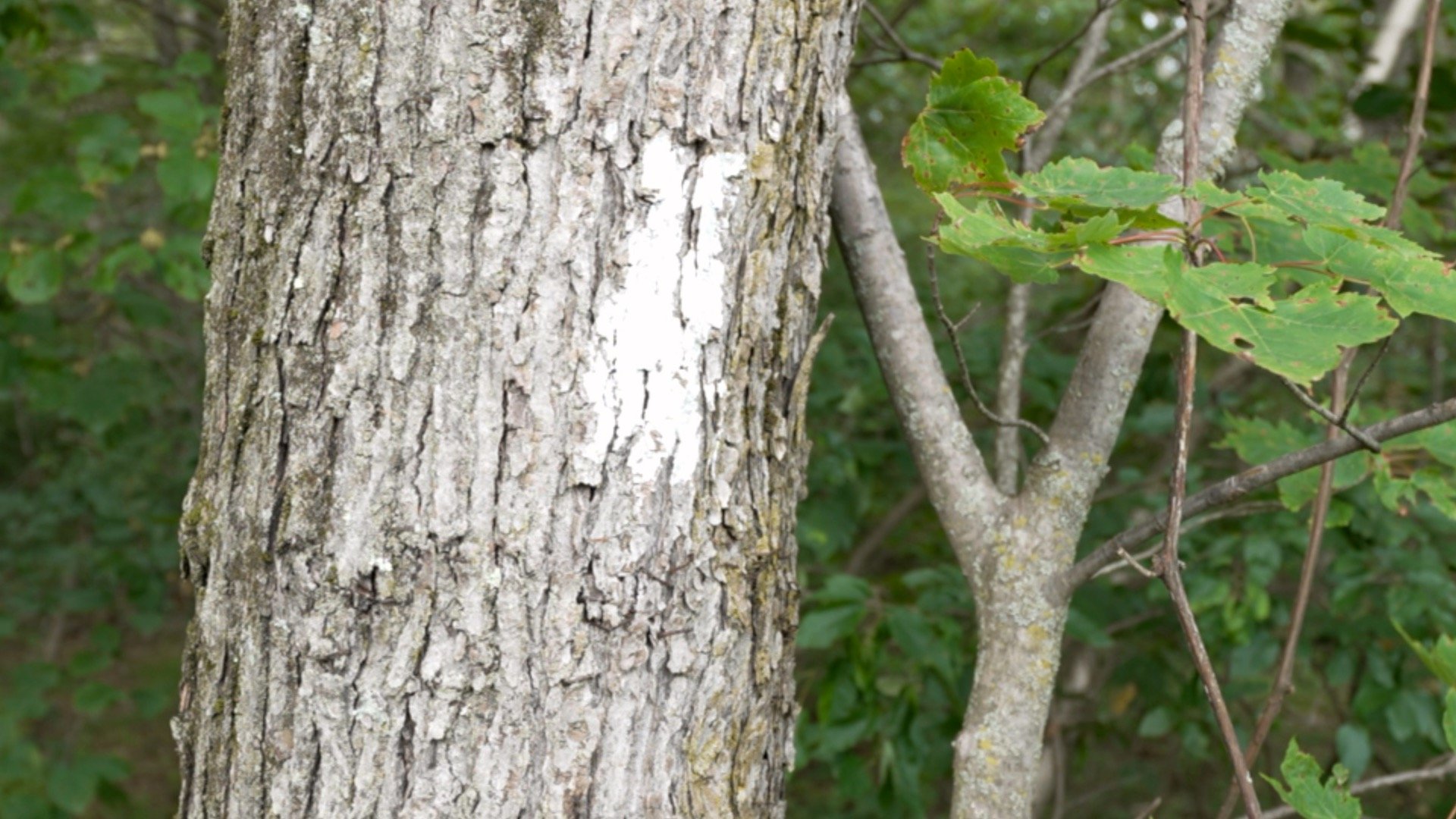
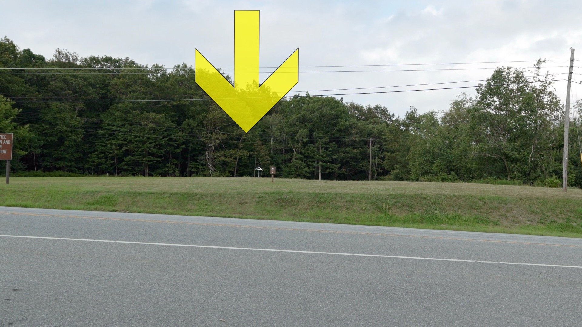
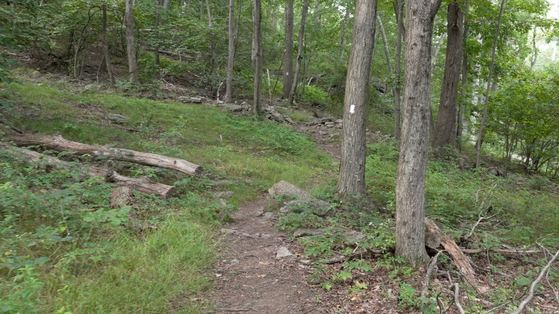
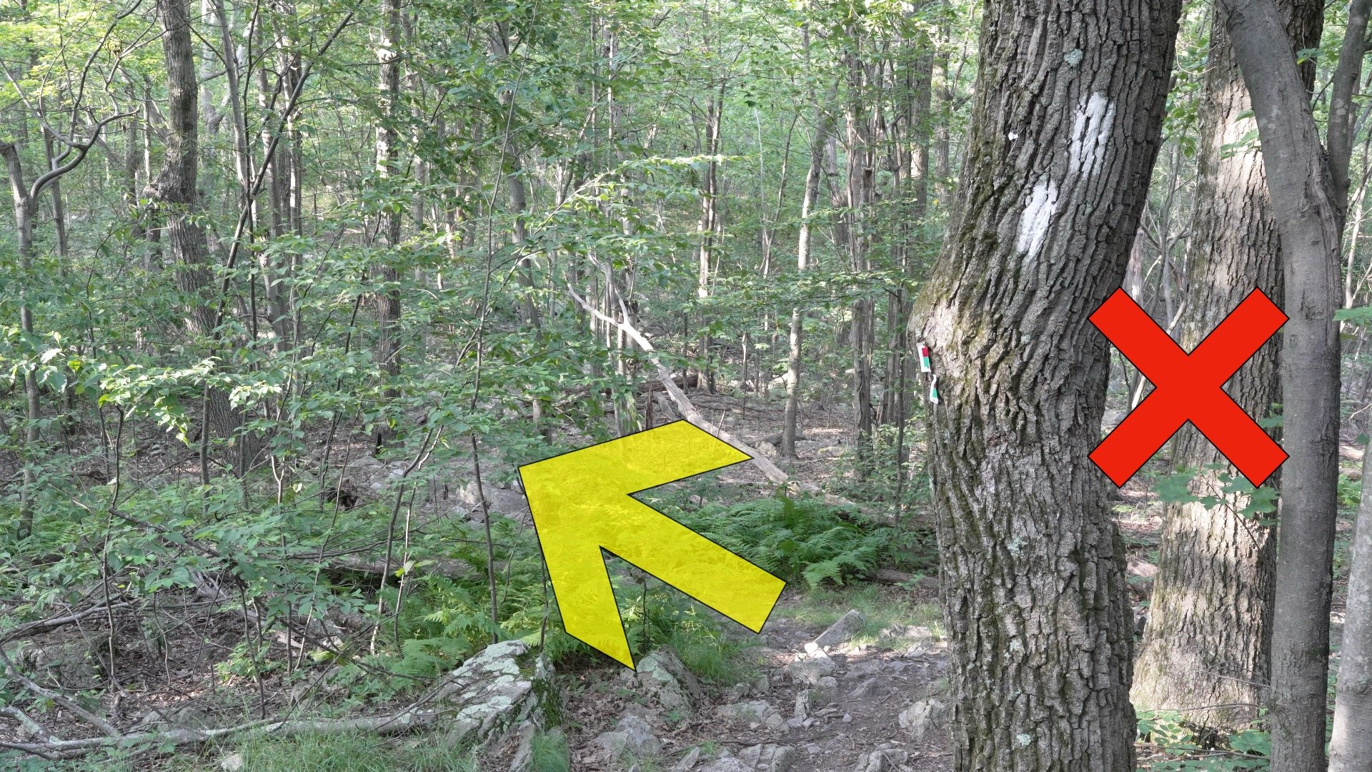
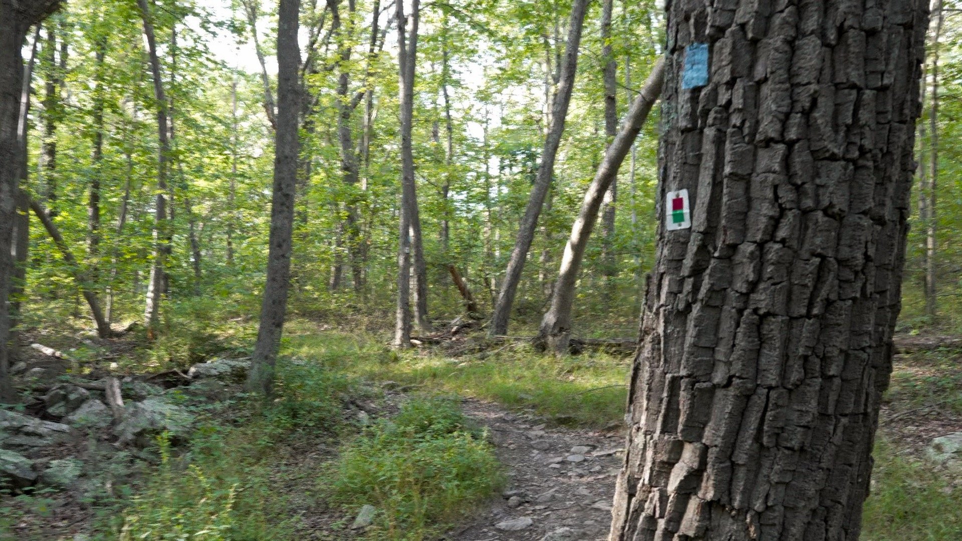
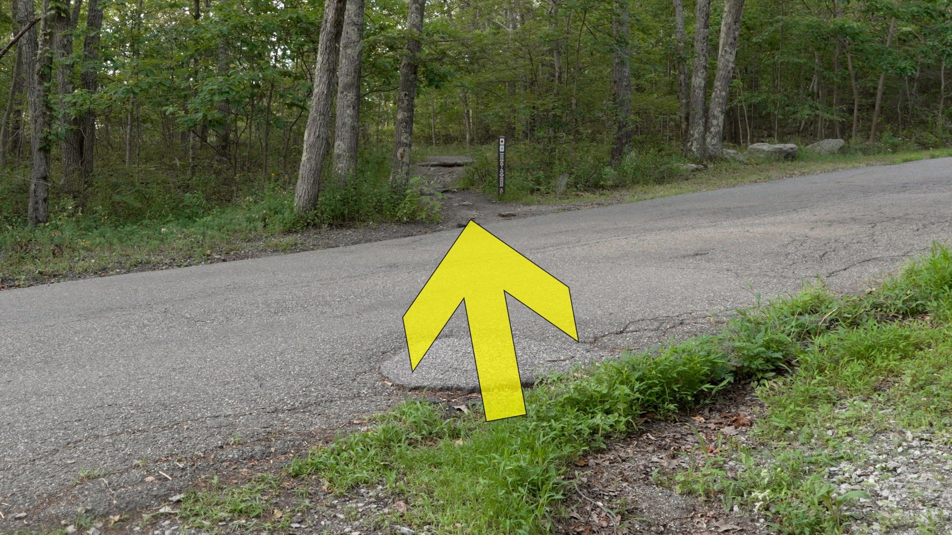
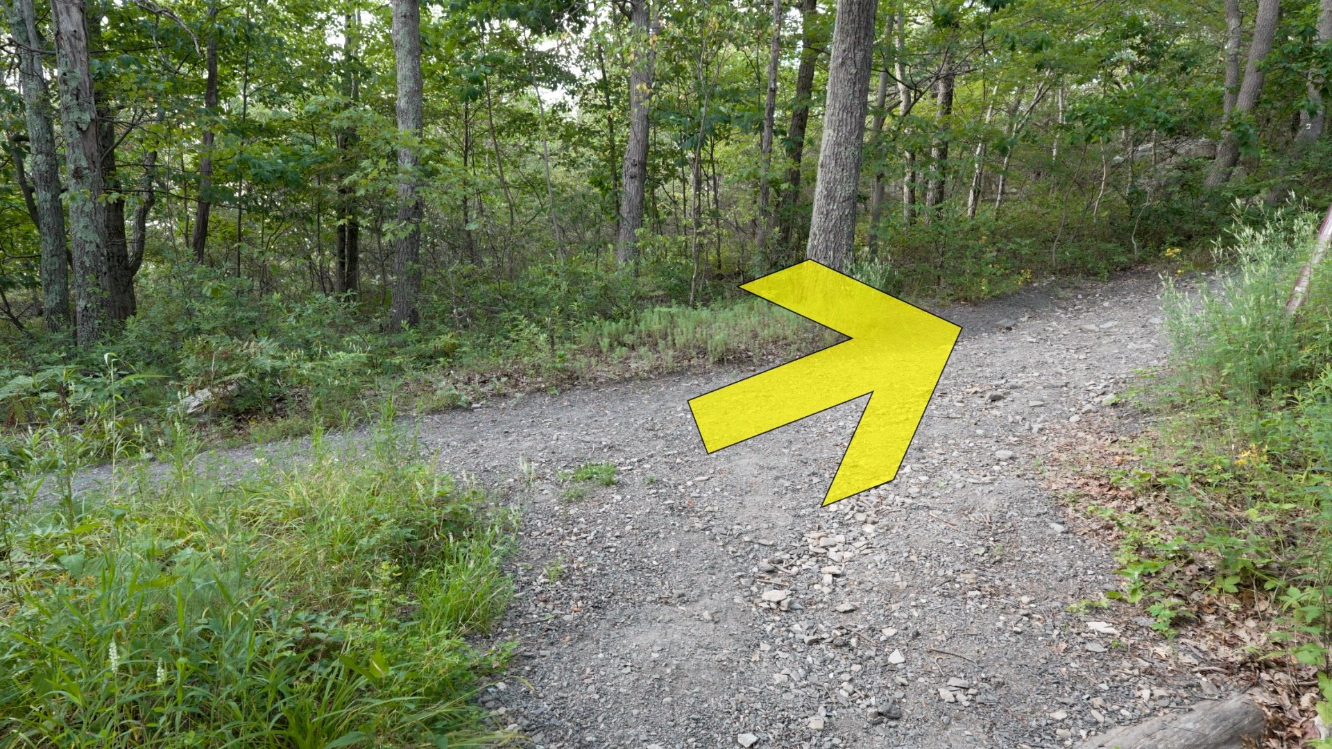
High Point NJ Hike Directions

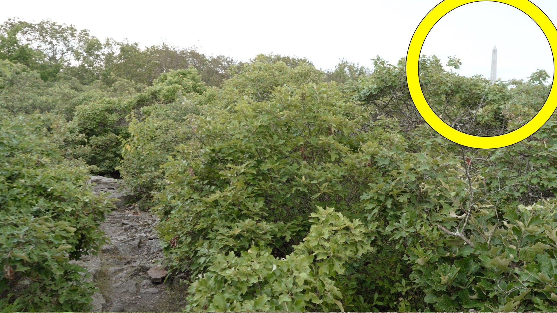
The High Point Monument is a 220-foot obelisk built in 1930 as a memorial to New Jersey’s veterans. It sits at 1,803 feet above sea level, the highest point in the state. On a clear day, you can see views into New York, New Jersey, and Pennsylvania from the base.


You can climb the 291 steps to the top when the monument is open (check the park site for info). Otherwise just enjoy the views from the base. From here just return the way you came up, and that's the hike!
Originally published July 25, 2025