
Hike Devil's Bridge Sedona
Hike Stats
- Total Distance
- 4 miles
- Time
- 2-3 Hours
- Total Climbing
- 550 feet
- Difficulty
- Easy
- Crowds
- Crowded
- Dogs
- Leashed
- Gear
- What I Use
- Weather
- Latest Report
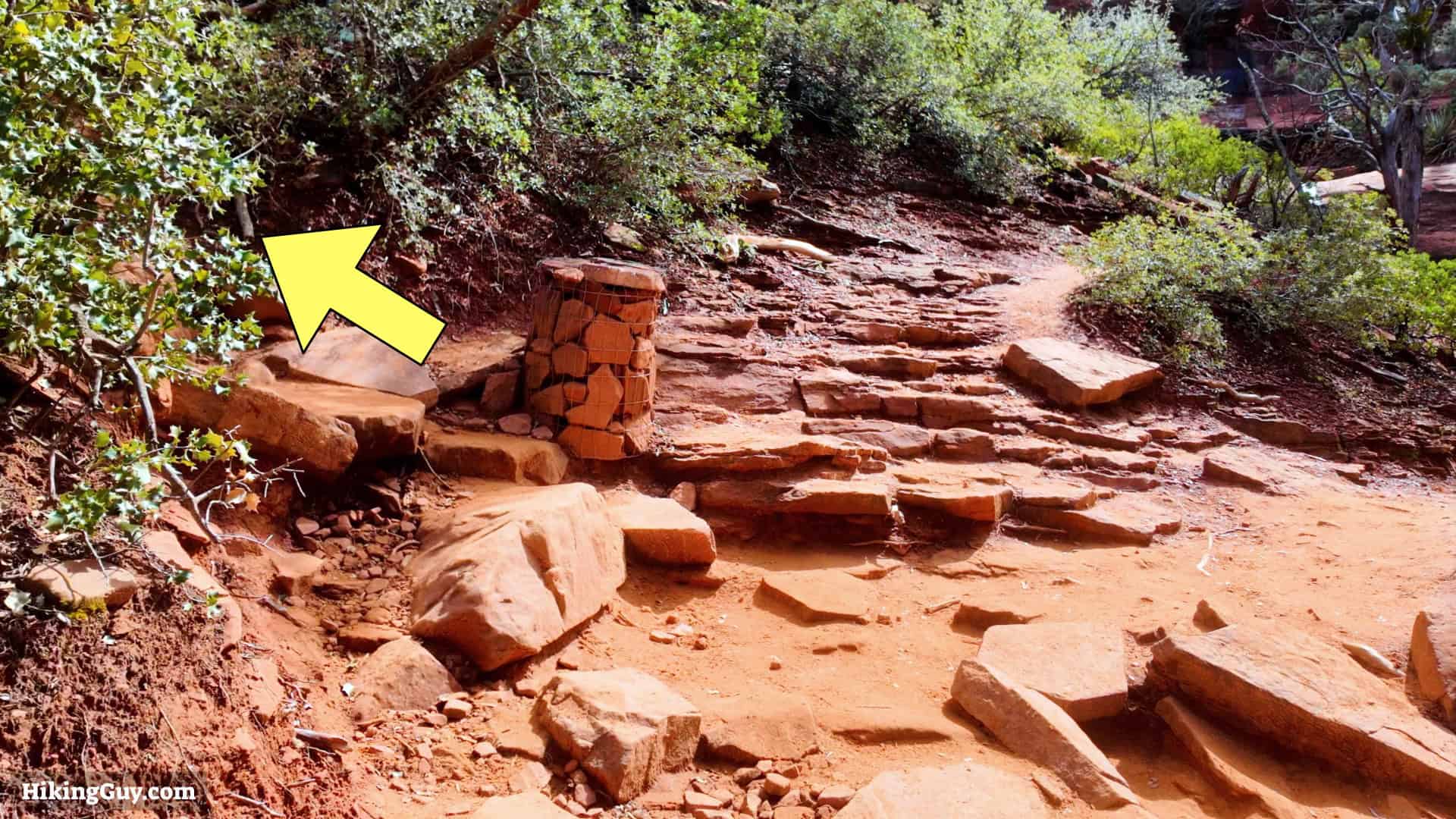
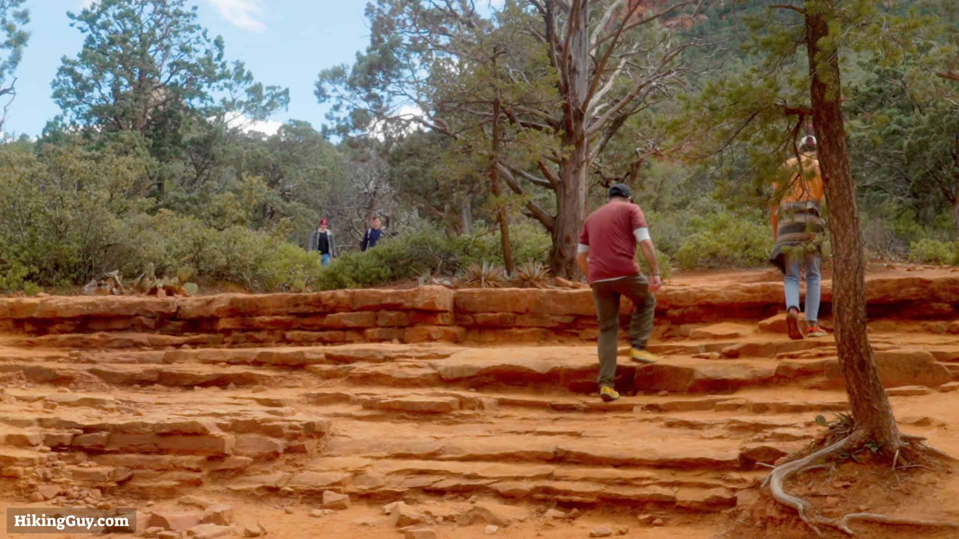
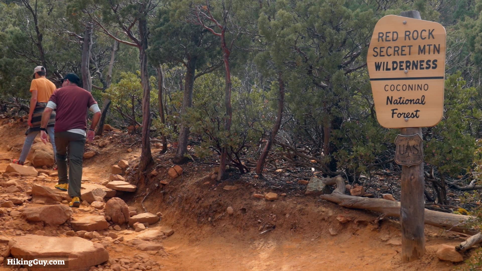
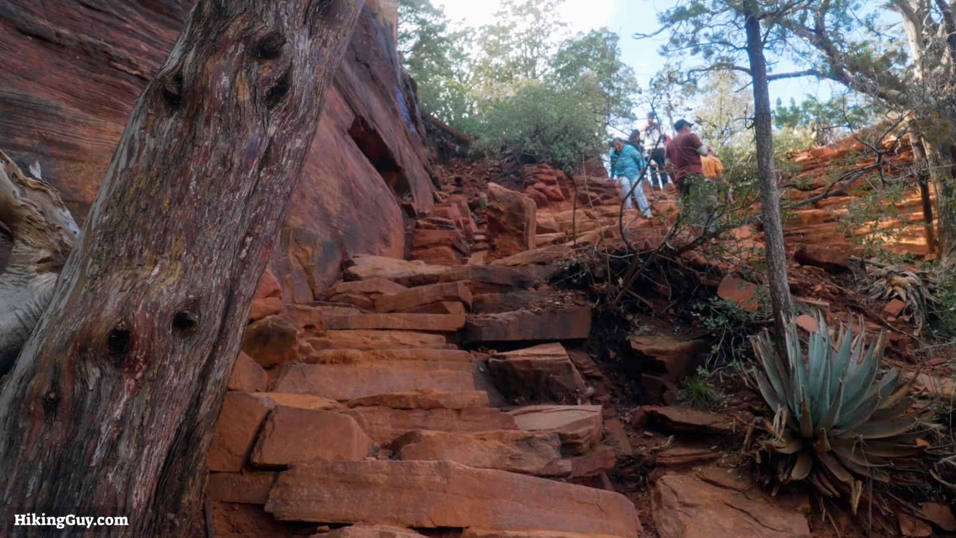
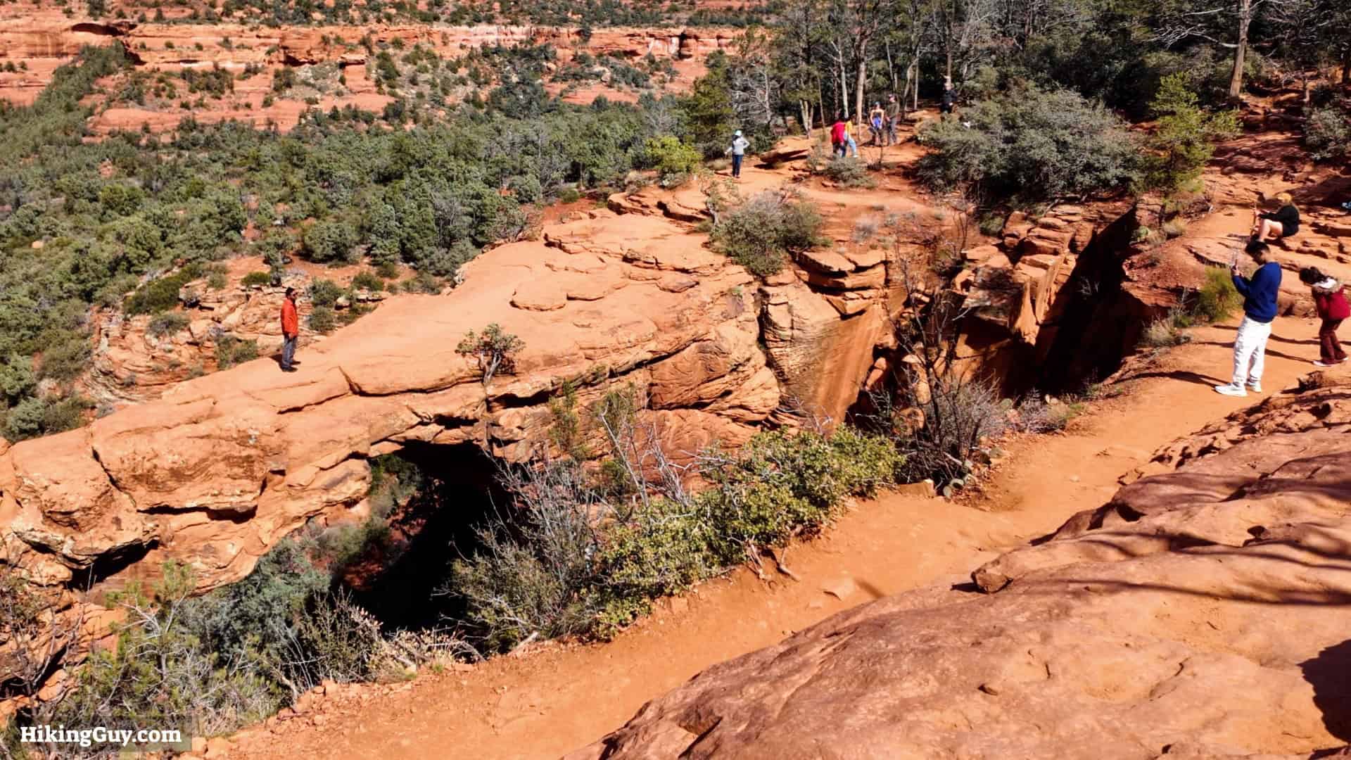
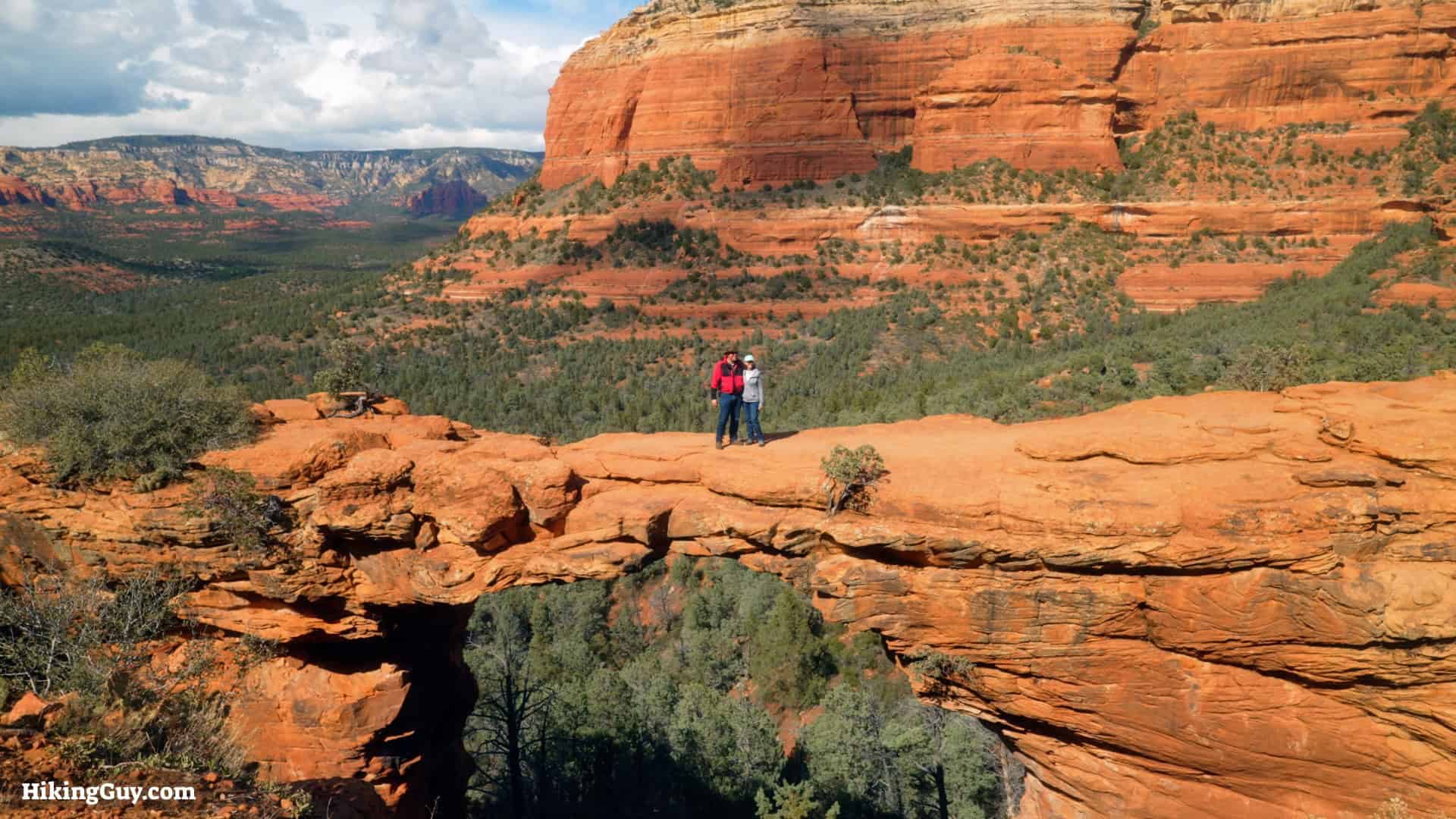
Ranked as one of the best hikes in the USA, Devil's Bridge in Sedona is a must-do. The trail can be crowded, but I'll also show you a more pleasant route that's easier to park at. Devil's Bridge, the largest natural sandstone arch in the Sedona area, is doable by most folks, with only some steep stairs at the end. Here's how to do it.
Where is Devil's Bridge?
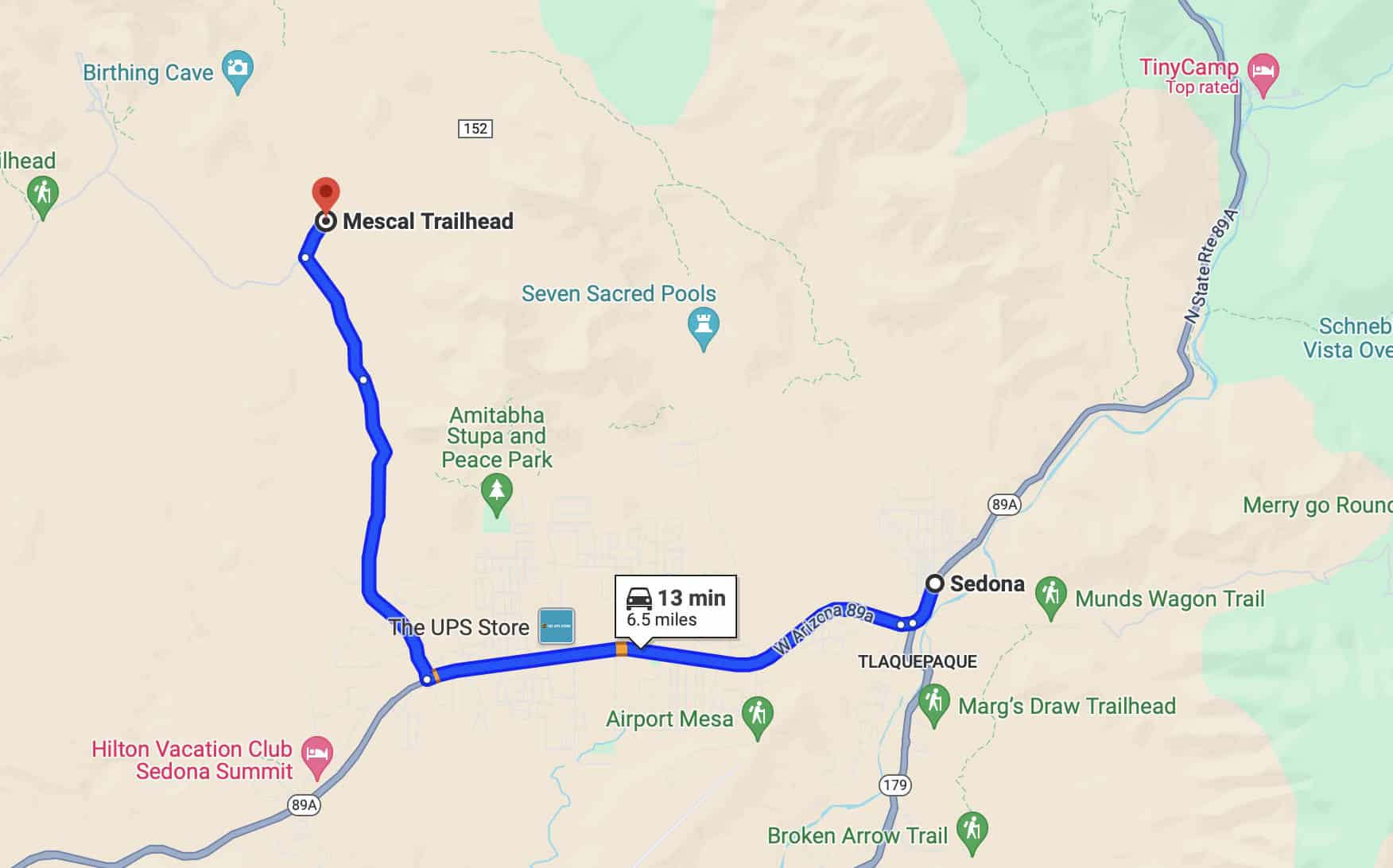
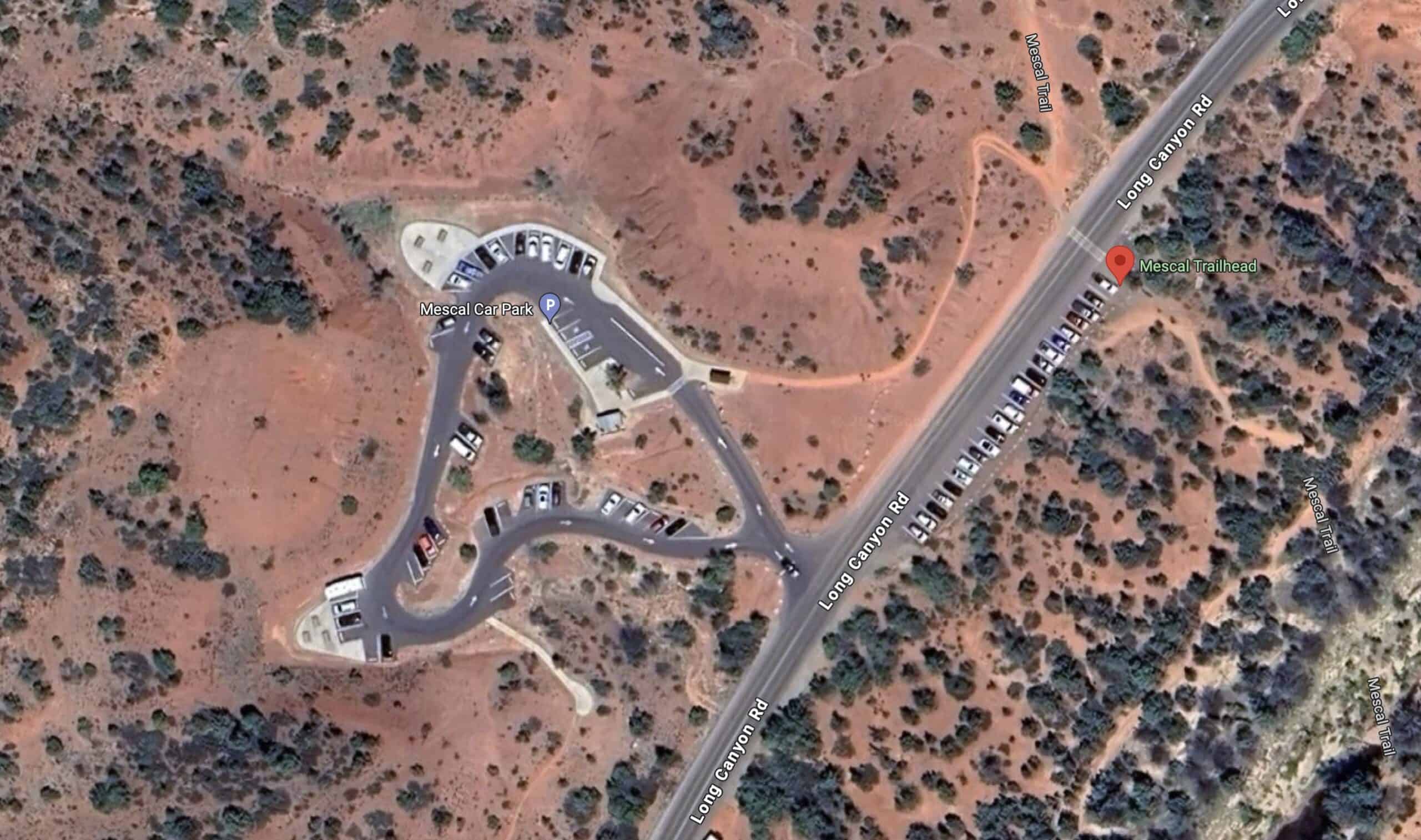
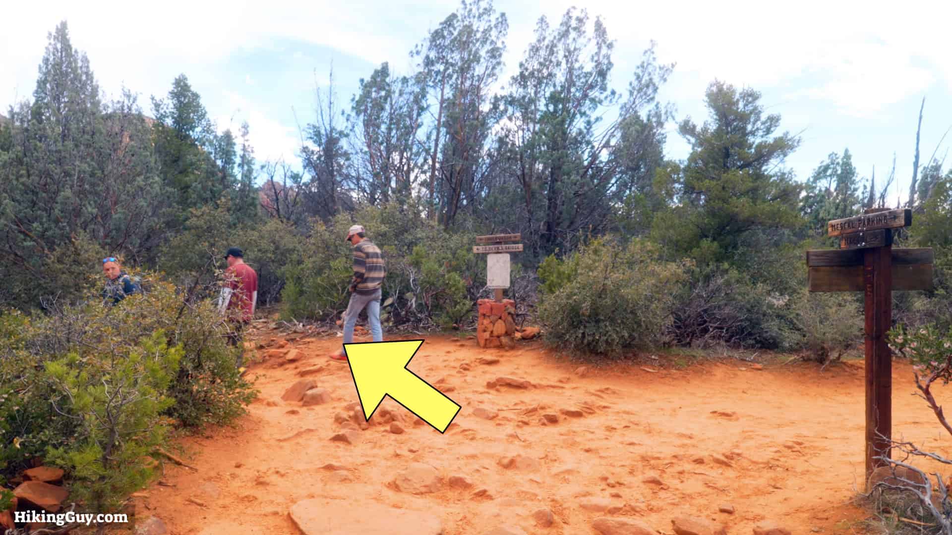
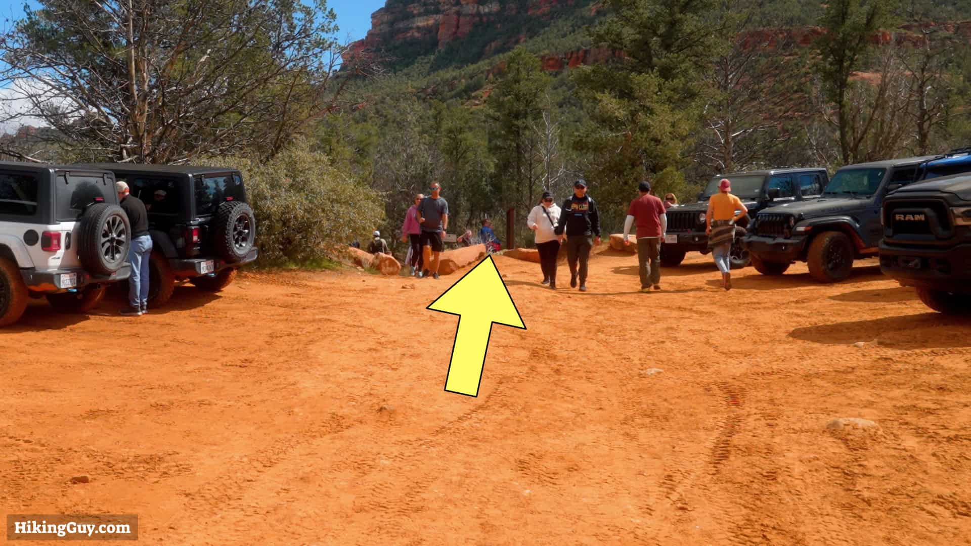
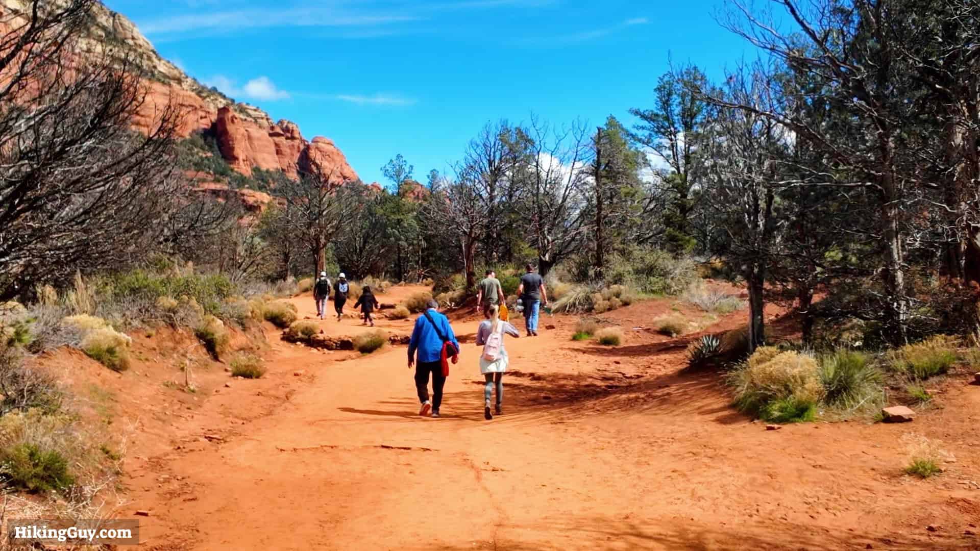
There are two main trailheads for Devil's Bridge: Dry Creek and Mescal. The hikes are about the same distance, but Mescal has advantages over Dry Creek. The Mescal Trailhead parking lot has about double the spaces of Dry Creek. Perhaps more importantly, for a pleasant hike, Dry Creek follows a dirt road halfway to Devil's Bridge, open to vehicles. On the other hand, the first half of the Mescal route is on a regular trail with no vehicles and offers some incredible views along the way.
Use this trailhead address:
Mescal Trailhead Car Park, Long Canyon Rd., Sedona, AZ 86336
Gear Recommendations
- While many hikers complete this trail in regular street clothes, I strongly recommend wearing fitness attire or light hiking gear for optimal comfort and safety.
- The most crucial item is a pair of comfortable shoes, such as trail runners, essential for happy feet.
- The high desert of Sedona has extreme temperatures. It can be over 100F in the summer, and in the winter, it can be below freezing. Bring at least 0.5L of water with you and sun protection.
Essentials I’m Using Now
- Garmin inReach Mini 2: Reliable SOS Everywhere on Earth
- Sawyer + CNOC Water Filter: Easy & Reliable Safe Water
- Nitecore NU25 Headlamp: Running late? Get home safe
- Altra Olympus 275: Favorite trail shoes right now, no blisters and very comfy.
- AllTrails Plus (30% off): Offline maps on your phone with the Plus level
- Full November 2025 Gear List →
Devil's Bridge Trail Maps


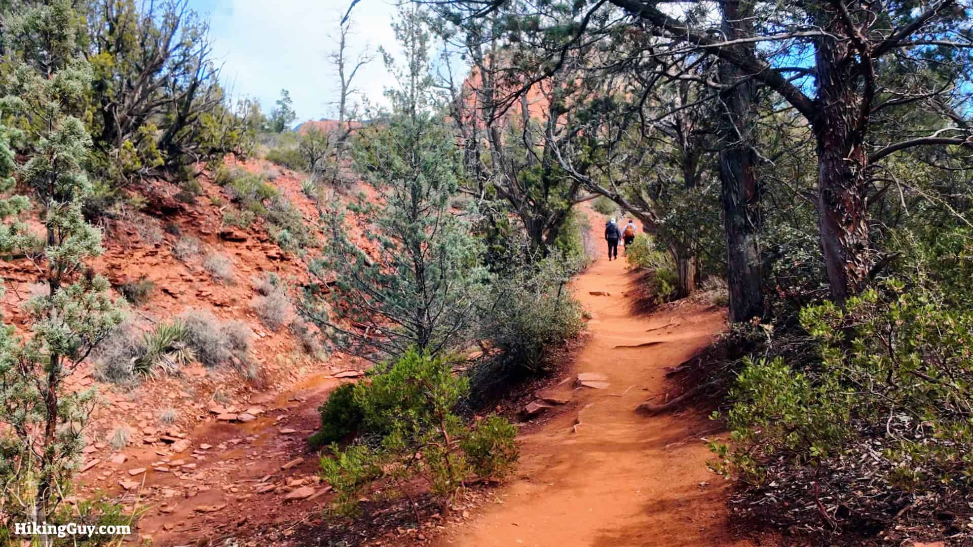
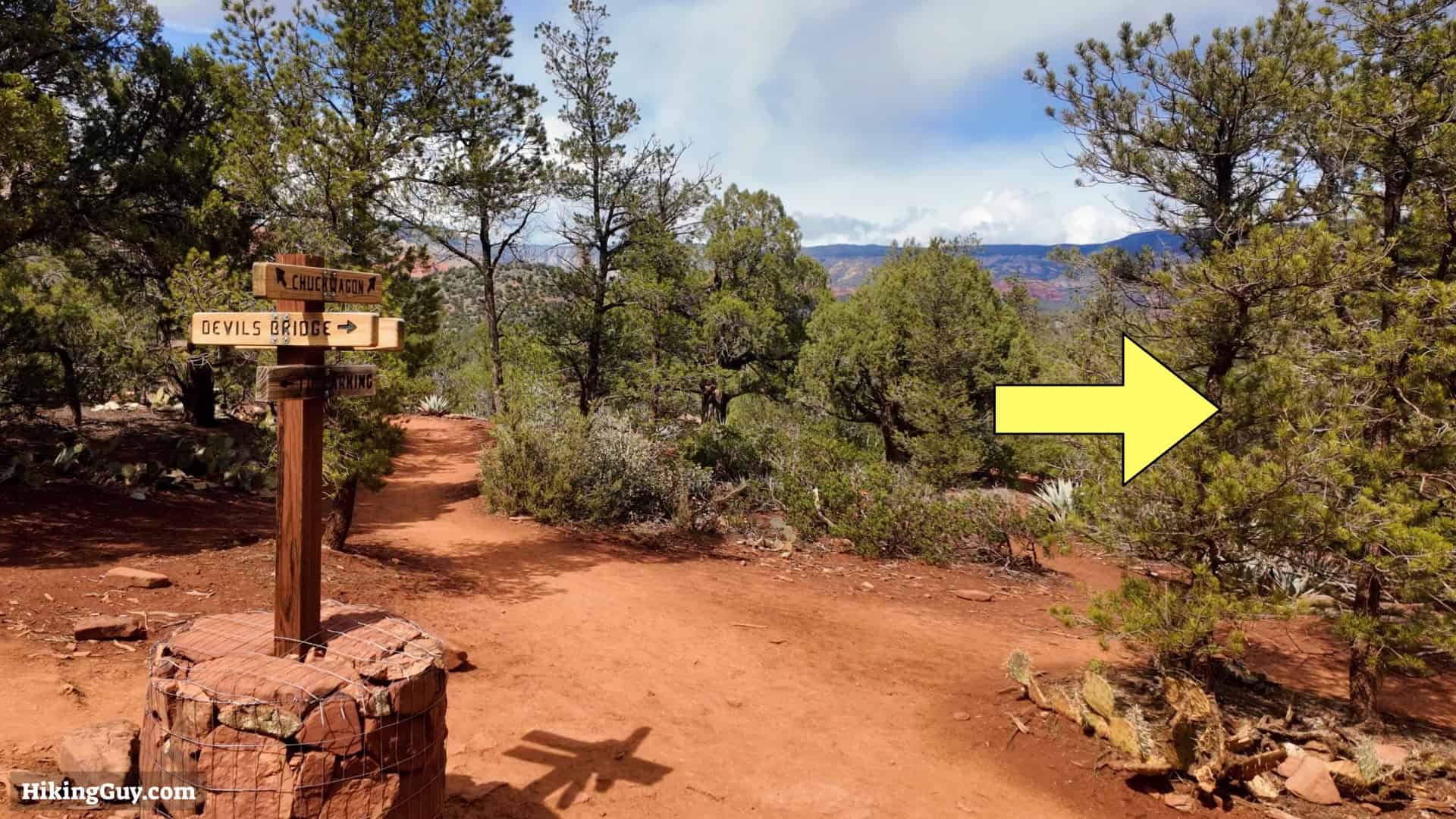
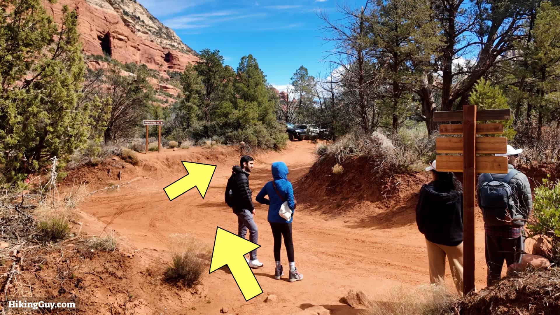
Devil's Bridge Hike Directions


Originally published May 4, 2024