Hike Mount LeConte via Alum Cave
Hike Stats
- Total Distance
- 12 miles
- Time
- 6-8 Hours
- Total Climbing
- 3100 feet
- Difficulty
- Hard
- Crowds
- Crowded
- Dogs
- No Dogs
- Gear
- What I Use
- Weather
- Latest Report
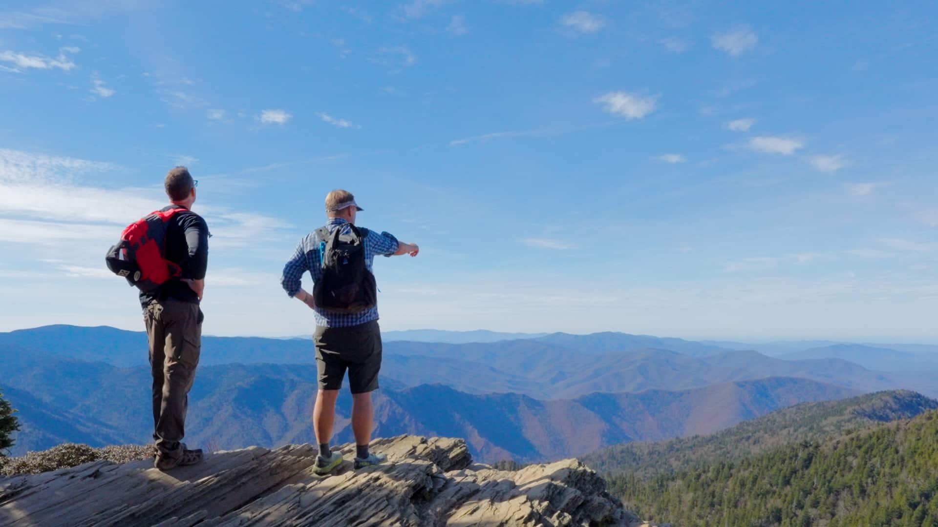
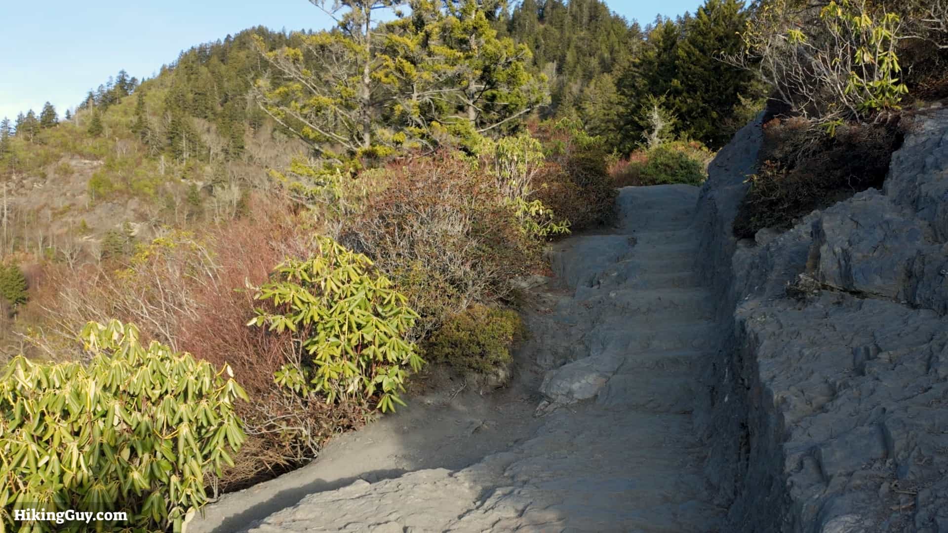
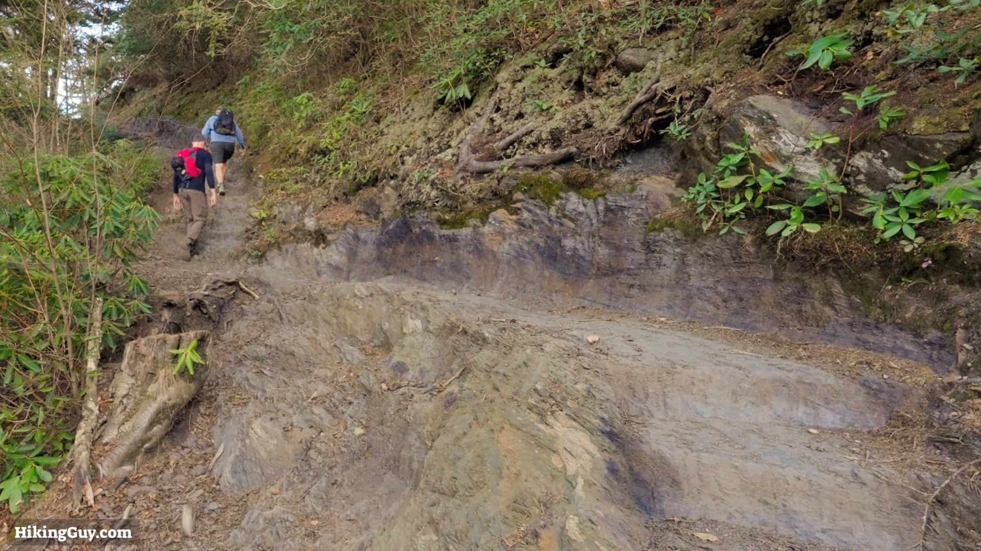
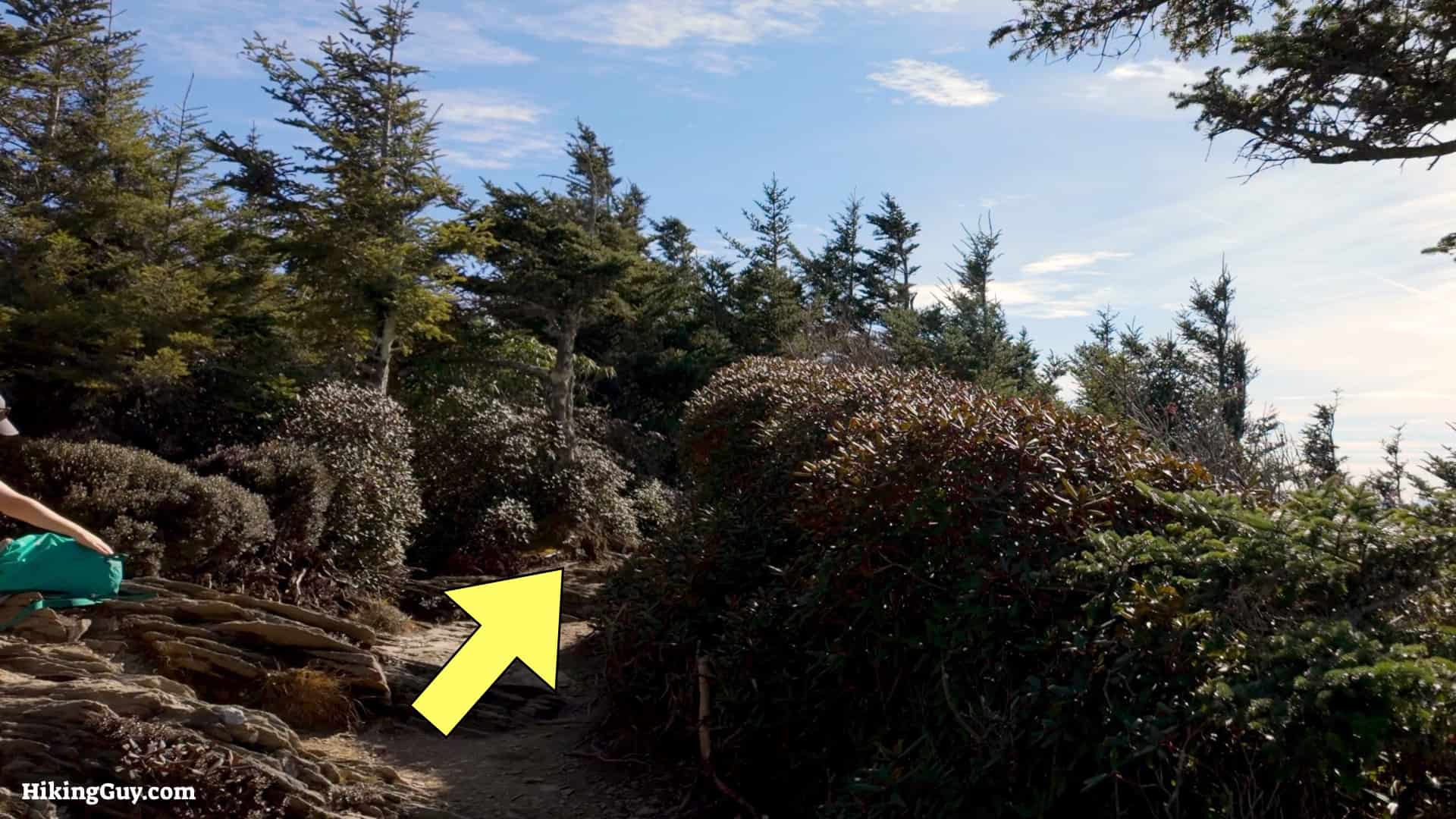
The hike to Mount LeConte from the Alum Cave Trail is considered the marquis trail in Great Smoky Mountains National Park. It's a challenging hike but very doable by most folks. The trail is beautiful, easy to follow, and offers lots to see along the way.
Where is the Alum Cave Trail?
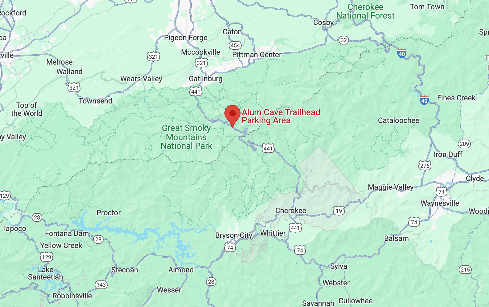
Use this trailhead address:
Alum Cave Trailhead Parking Area, 3639 Newfound Gap Rd, Gatlinburg, TN 37738
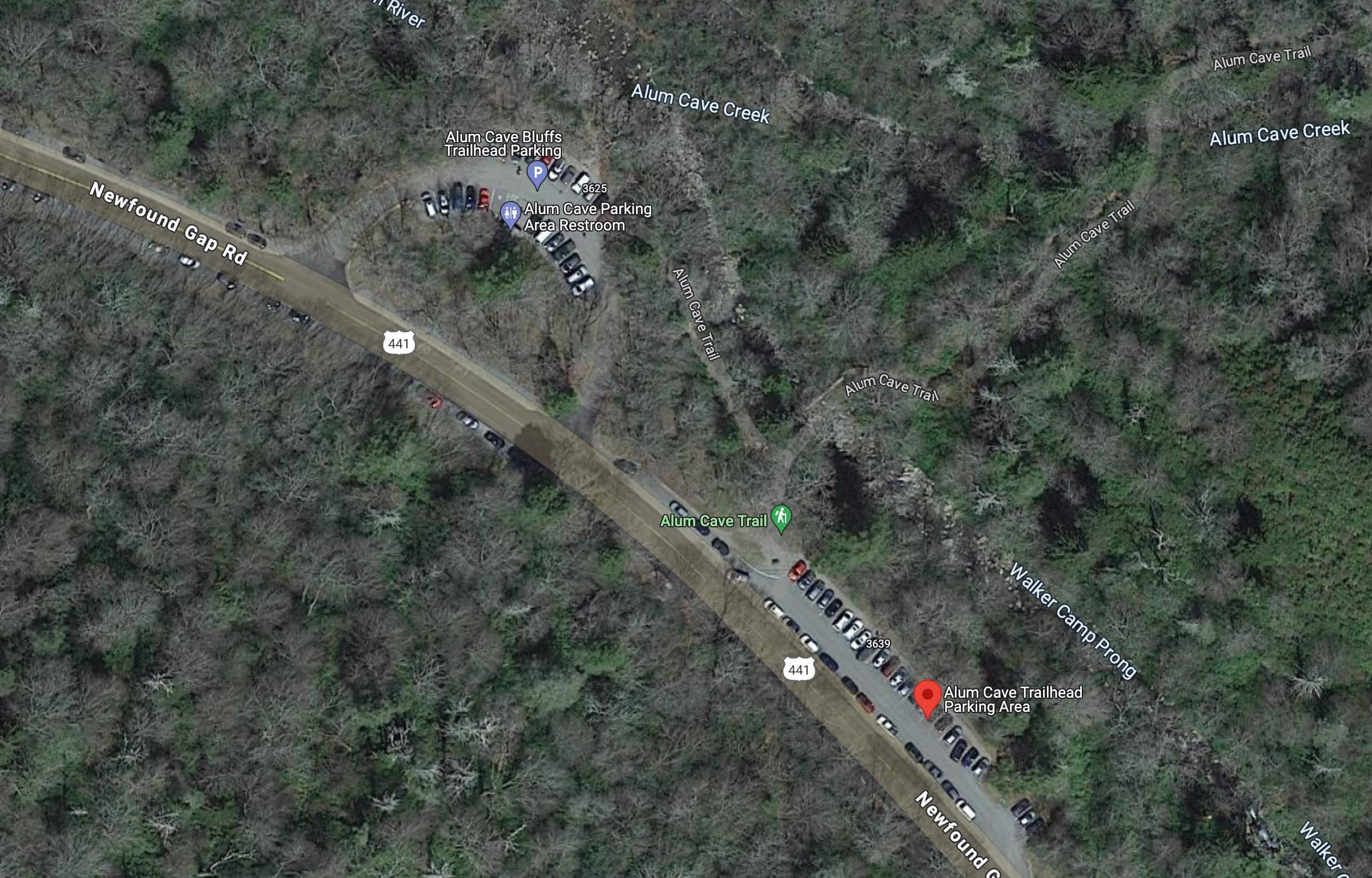
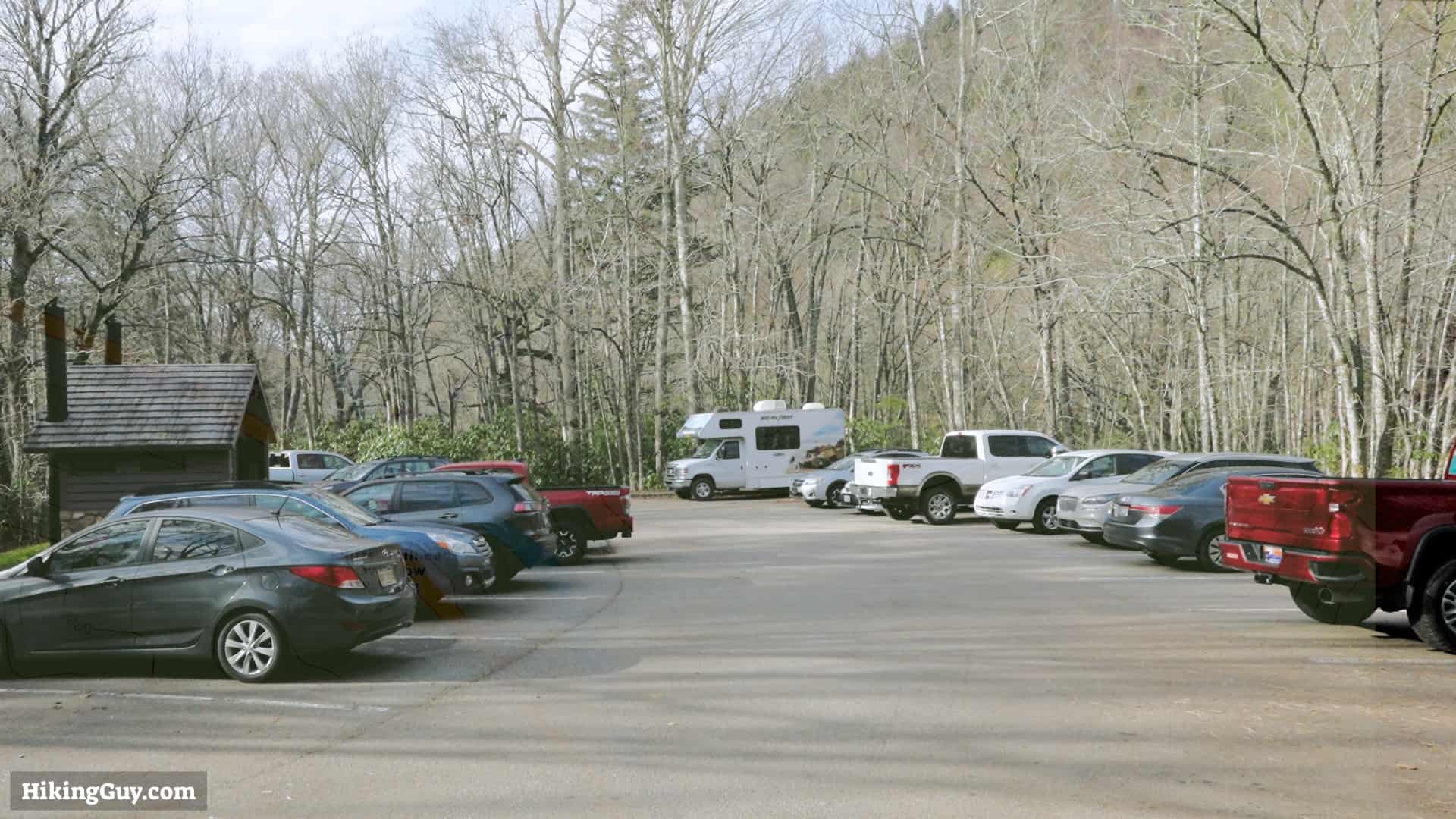
This is the most popular hike in the park. Get here at sunrise for your best chances at getting a parking spot.

Gear Recommendations
This is a true backcountry hike, and you should prepare accordingly.
- Bring at least 1.5 liters of water. You can refill at Lactone Lodge at the top.
- Trail runners work best on the dirt trail, which can get wet and muddy.
- Bring a snack to fuel up; this is a long hike.
- Be prepared for changing conditions with some layers and a rainshell.
- There's no phone coverage, so having a satellite communicator is a smart bet.
- In the winter, it can be snowy and icy. Check the mountain weather link at the top of this page for the conditions, which will usually differ from those at the start of the hike or in Gatlinburg.
Essentials I’m Using Now
- Garmin inReach Mini 2: Reliable SOS Everywhere on Earth
- Sawyer + CNOC Water Filter: Easy & Reliable Safe Water
- Nitecore NU25 Headlamp: Running late? Get home safe
- Altra Olympus 275: Favorite trail shoes right now, no blisters and very comfy.
- AllTrails Plus (30% off): Offline maps on your phone with the Plus level
- Full December 2025 Gear List →
Worth Noting

- According to the USGS, Mt LeConte is named after Joseph Le Conte (1823-1901), a geologist and early conservationist. Le Conte was a co-founder of the Sierra Club with John Muir in 1892. He was such a popular guy that after he died in 1901, he became the namesake for Le Conte Glacier, Le Conte Canyon, Le Conte Divide, Le Conte Falls, Le Conte Mountain, and Le Conte Lodge.
- But some people say it's named after Joseph's older brother, John, who helped measure the mountain's elevation.
- These mountains are some of the oldest in the world. The Smokies date back 200-300 million years.
Mount LeConte Trail Maps

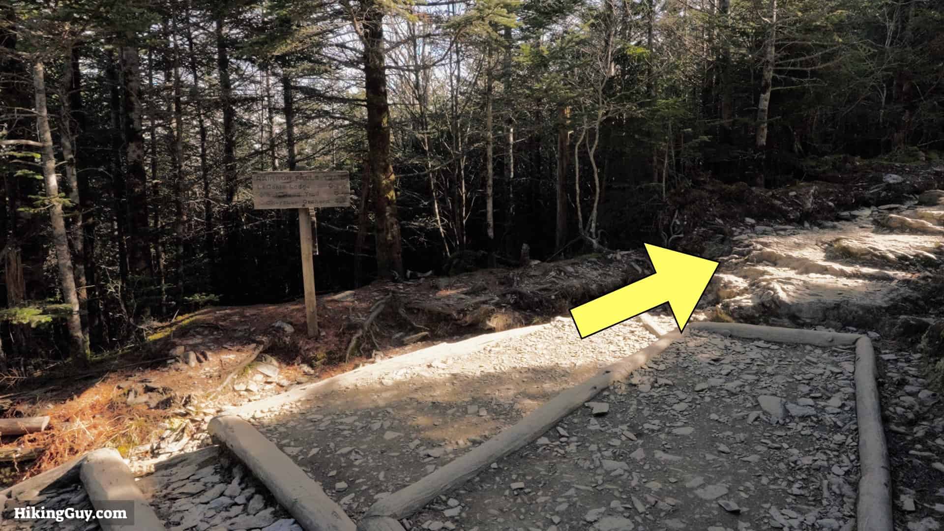
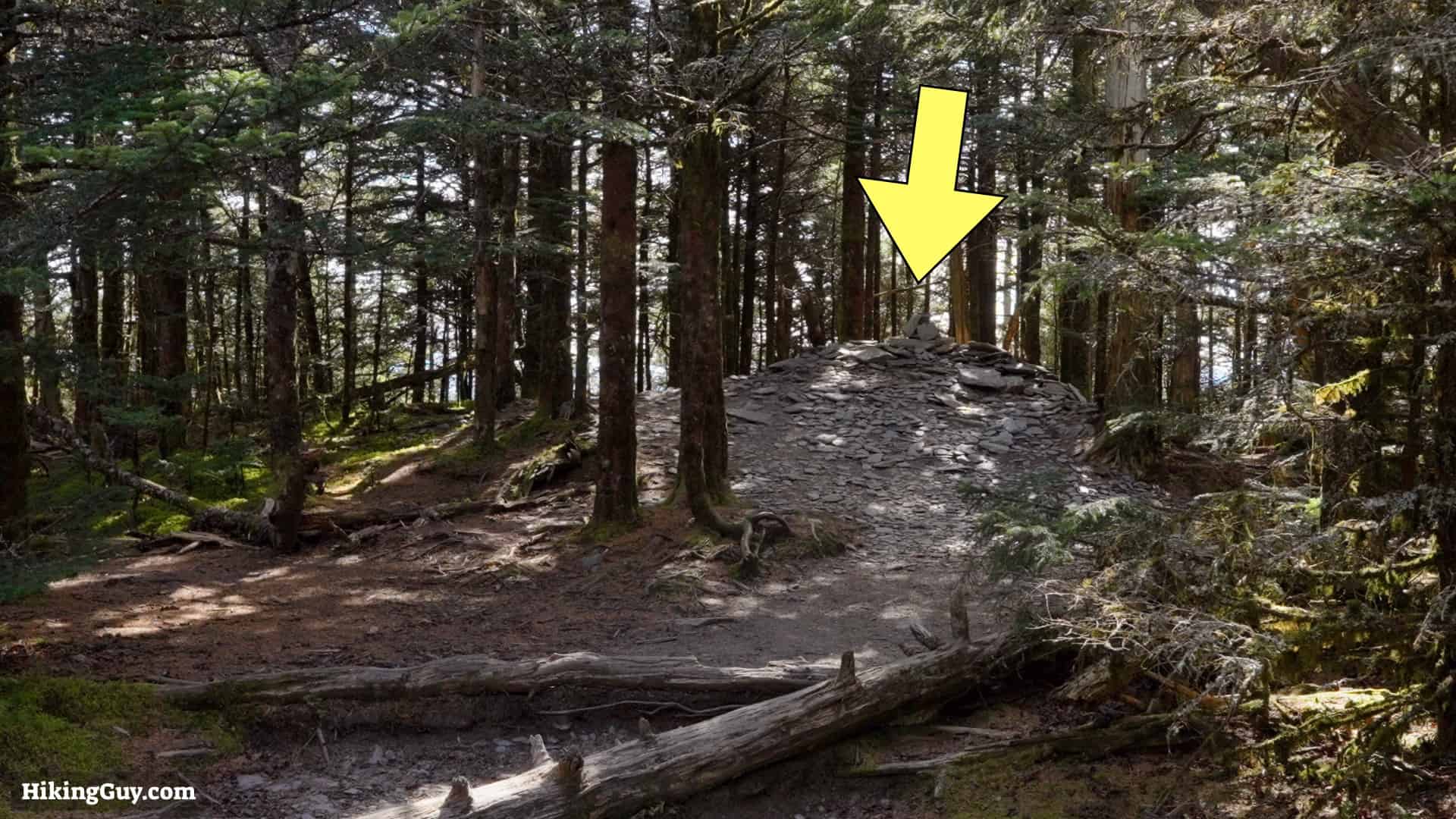
Mount LeConte Hike Directions


The arch came into being as the softer rock underneath the harder rock was worn away by the cycle of freezing and thawing.
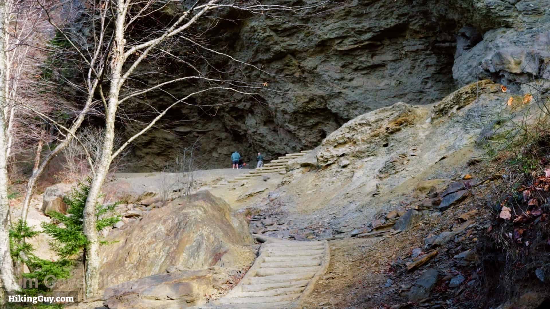
Alum Cave Bluffs, named for the alum deposits found here in the 1800s, are a prominent geological formation characterized by a vast, overhanging cliff about 80 feet high and 500 feet wide.


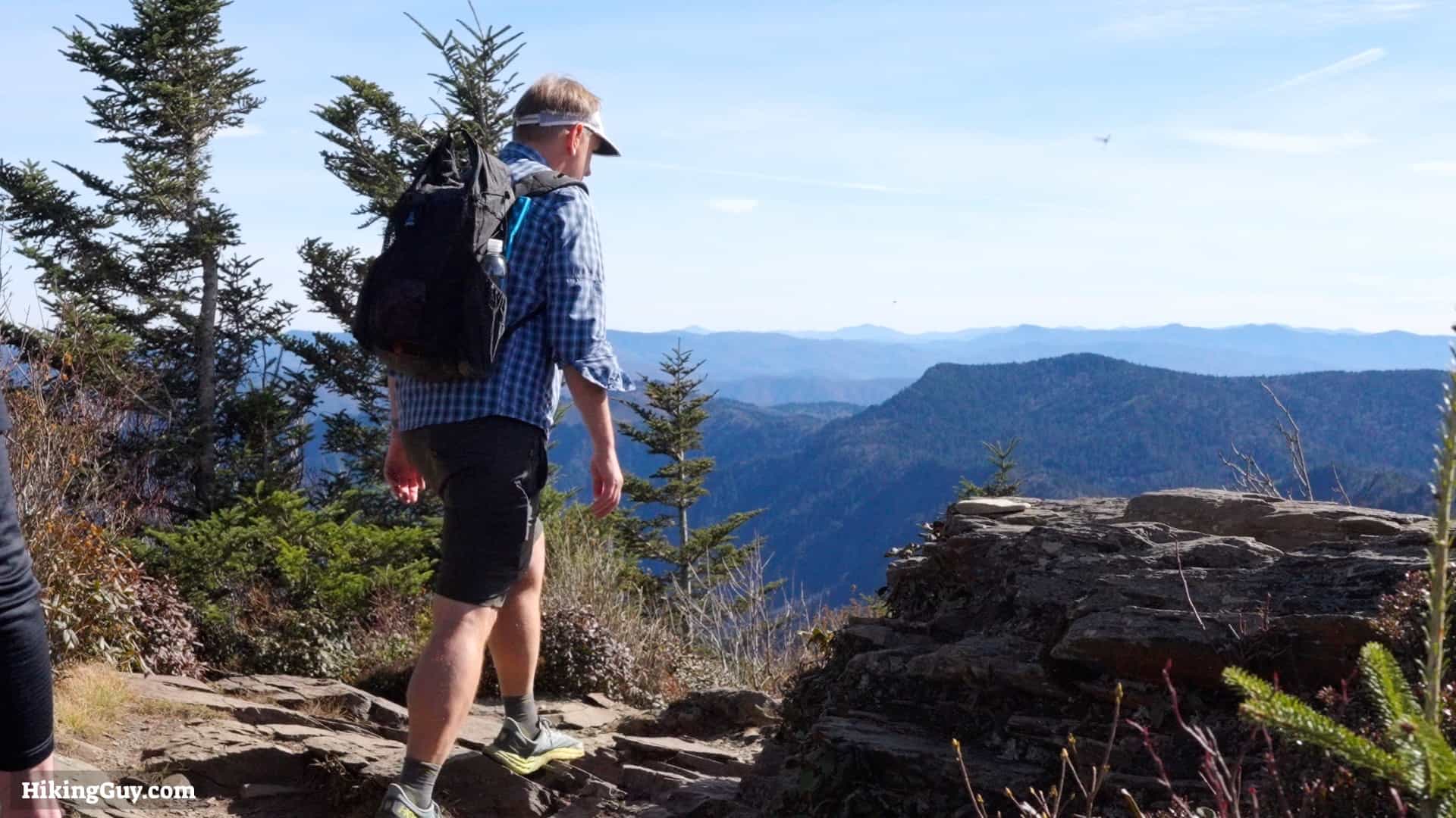
For a better viewpoint, continue straight past the summit on the short downhill.

You can avoid the spur to Cliff Top and just go straight down.
