Hike Mount Perry from Dante's Ridge
Hike Stats
- Total Distance
- 9 miles
- Time
- 4-5 Hours
- Total Climbing
- 2100 feet
- Difficulty
- Moderate
- Crowds
- Quiet
- Dogs
- No Dogs
- Gear
- What I Use
- Weather
- Latest Report
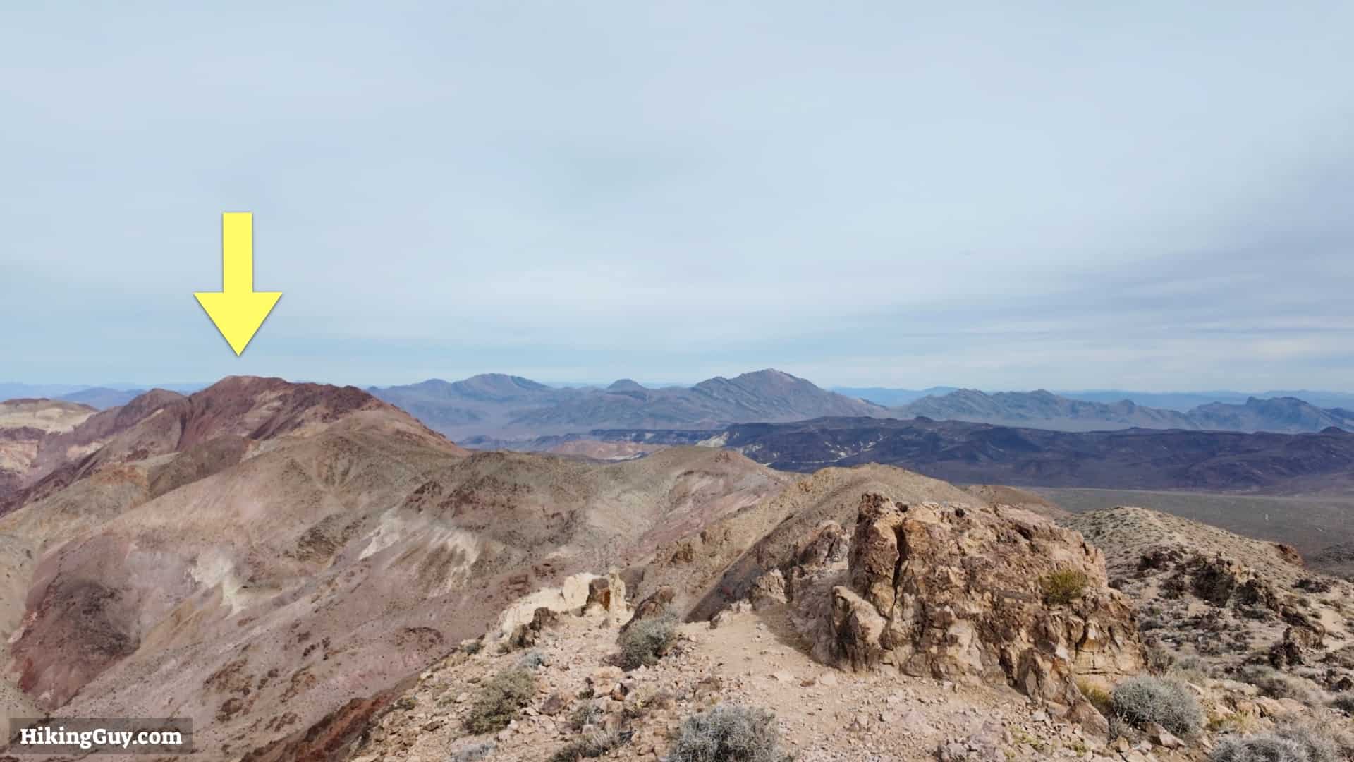
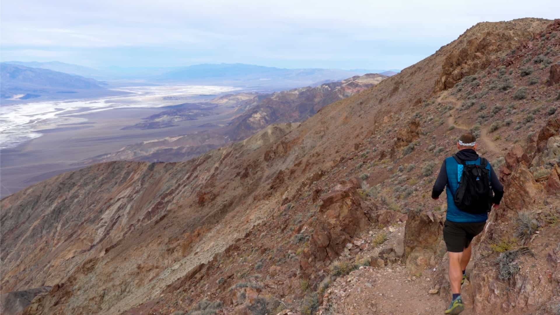
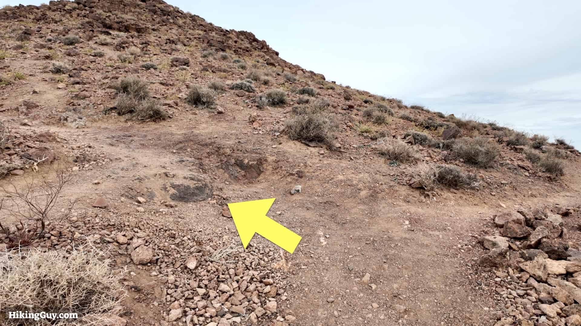
The hike to Mount Perry along Dante's Ridge is easily the most underrated in Death Valley National Park. The easy-to-follow trail follows a ridge along the Black Mountains, offering jaw-dropping views into Badwater Basin and as far as Mt Whitney and the Sierras.
Where is Dante's Ridge?
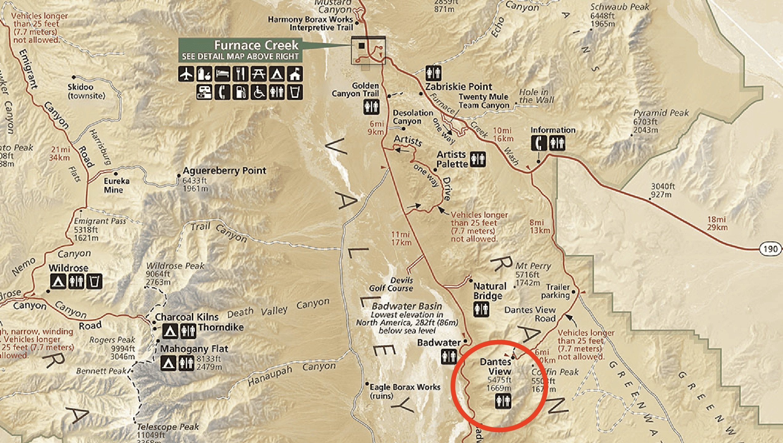
To get to the start of hike, drive to Dante's View, which is an incredible viewpoint on its own. Use this trailhead address:
Dante's View, Death Valley National Park, Dantes View Rd, California 92328
Gear Recommendations

This is a rugged and fairly remote hike. Don't expect to see others and prepare for the conditions, which are often windy and exposed.
- Even though it's cooler at this altitude than lower in Badwater Basin, it can still get extremely hot here. In the winter it can be freezing but don't expect snow. In the summer, temperatures can be deadly. Checking the weather and conditions before you do this hike is critical.
- Bring at least 3L of water when it's warm out.
- The trail is rocky and overall in good condition. Trail runners are a good choice for footwear.
- There is intermittent cellular service along the route but nothing dependable. If you have a satellite messenger, I'd bring it.
Essentials I’m Using Now
- Garmin inReach Mini 2: Reliable SOS Everywhere on Earth
- Sawyer + CNOC Water Filter: Easy & Reliable Safe Water
- Nitecore NU25 Headlamp: Running late? Get home safe
- Altra Olympus 275: Favorite trail shoes right now, no blisters and very comfy.
- AllTrails Plus (30% off): Offline maps on your phone with the Plus level
- Full December 2025 Gear List →
Mount Perry Trail Maps

Elevation Profile

3D Map

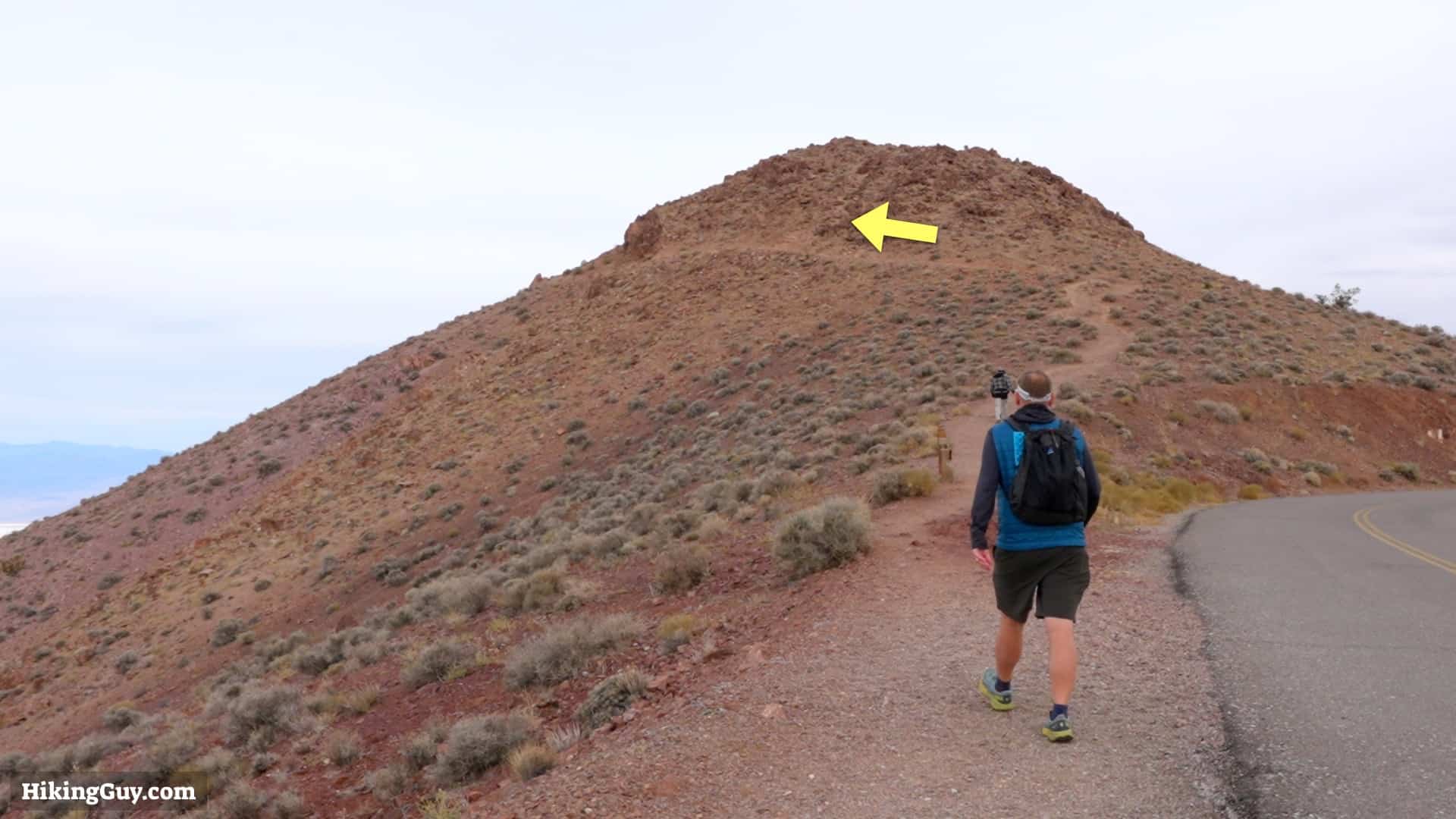
Mount Perry Hike Directions

Badwater Basin is the lowest point in North America at -282 feet. During the last Ice Age there was a massive lake there called Lake Manly. The water dried up about 10,000 years ago but occasionally heavy rains will create mini-lakes in the basin.