Hike Weir Canyon Trail
Hike Stats
- Total Distance
- 3 miles
- Time
- 2 Hours
- Total Climbing
- 500 feet
- Difficulty
- Easy
- Crowds
- Crowded
- Dogs
- Leashed
- Gear
- What I Use
- Weather
- Latest Report
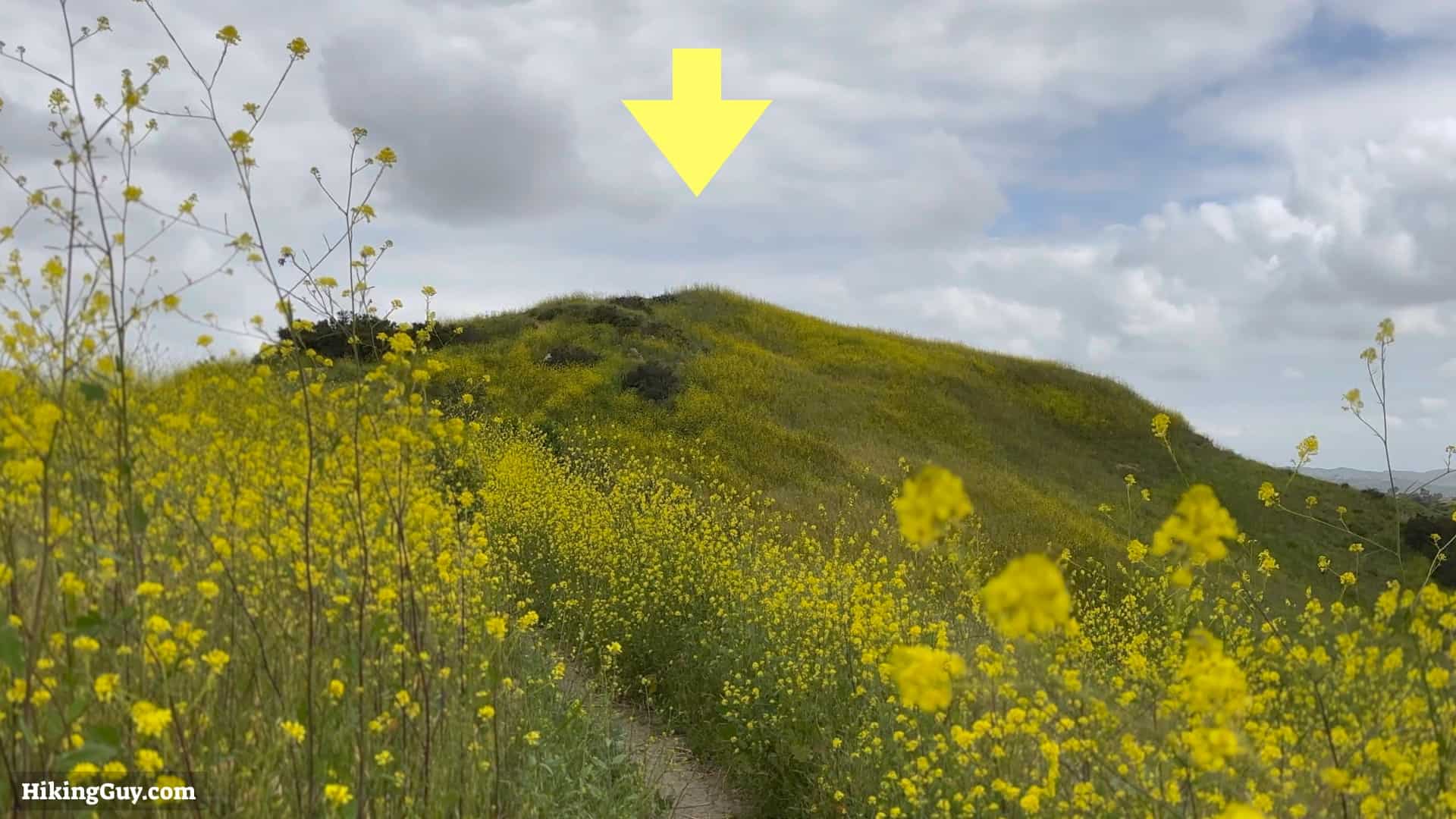
The Weir Canyon Trail hike is tucked into Orange County suburbia, but once you step onto the trail, you will feel like you are miles away. The best time to visit is when it's cooler in the spring; it becomes one of the best places to see wildflowers, including the California poppy. It's an excellent hike for beginners and those who want a quick escape.
Where is Weir Canyon Trail?

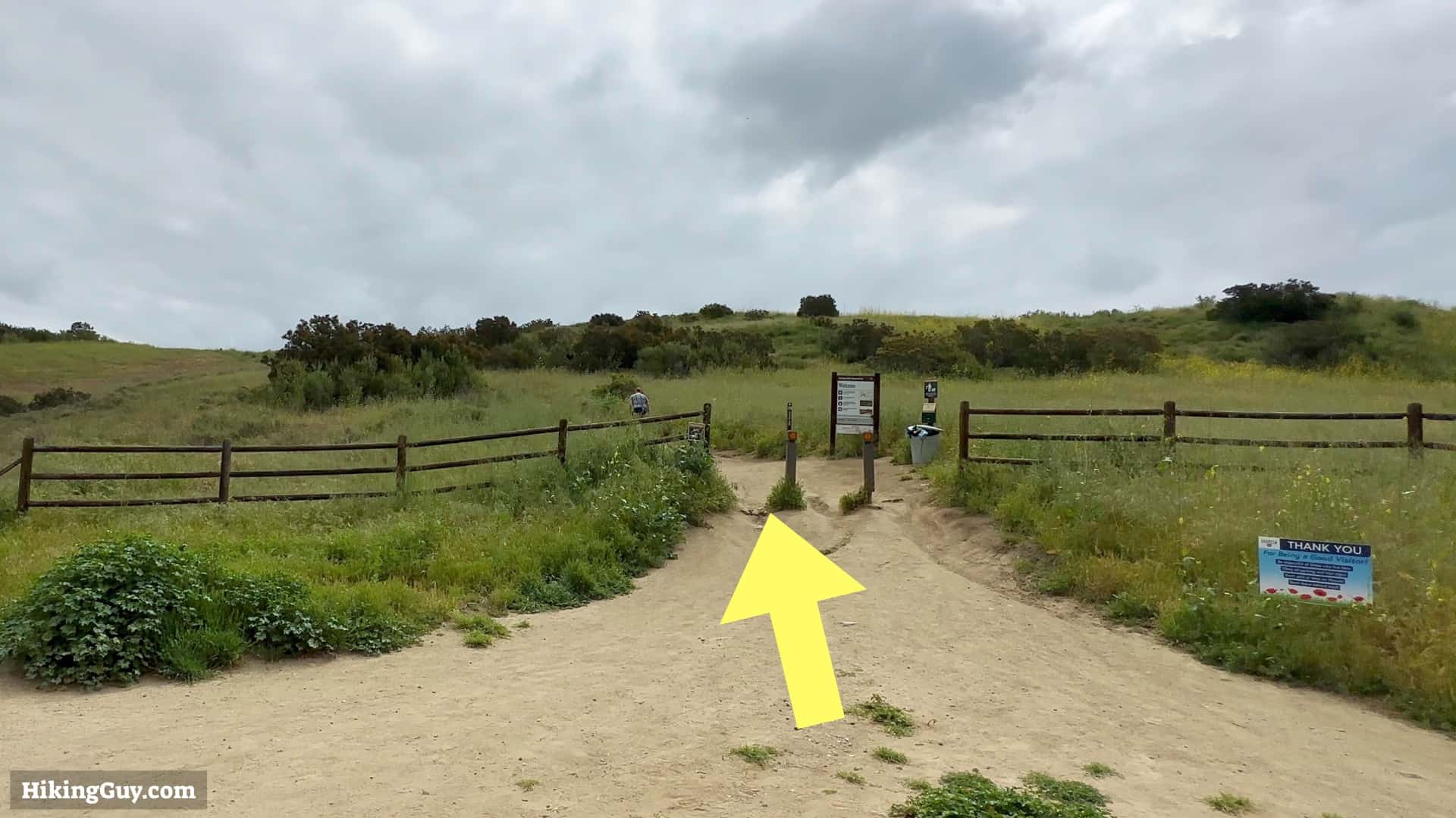
Don't just search for the Weir Canyon Trail on your maps app because there are multiple trailheads. We will start from a specific trailhead of the Santiago Oaks Regional Park. Use this trailhead address:
6984 E Overlook Terrace, Anaheim, CA 92807

There are no bathrooms or water at the trailhead or on the hike.
Gear Recommendations
This is a straightforward hike on wide trails, but there are some ups and downs. If you have hiking shoes or boots, they will help, as will trekking poles. But plenty of people do the hike in fitness gear and you can too. In the summer it gets really hot here, and there is no tree cover. Bring at least 1L of water.
Essentials I’m Using Now
- Garmin inReach Mini 2: Reliable SOS Everywhere on Earth
- Sawyer + CNOC Water Filter: Easy & Reliable Safe Water
- Nitecore NU25 Headlamp: Running late? Get home safe
- Altra Olympus 275: Favorite trail shoes right now, no blisters and very comfy.
- AllTrails Plus (30% off): Offline maps on your phone with the Plus level
- Full December 2025 Gear List →
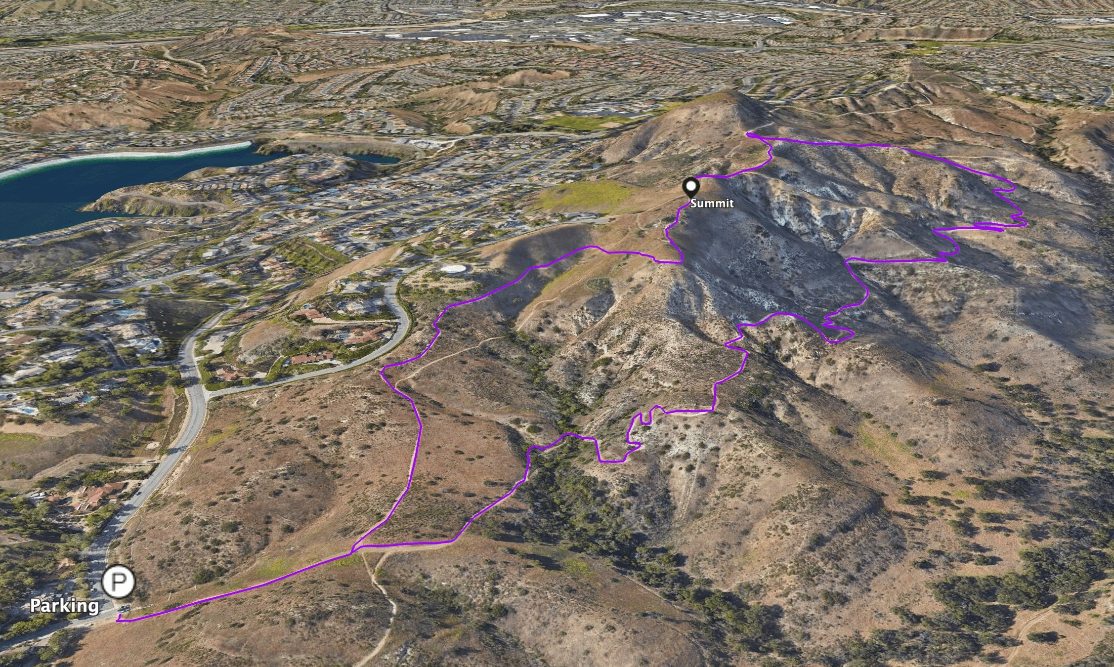
Weir Canyon Trail Maps

Elevation Profile

3D Map
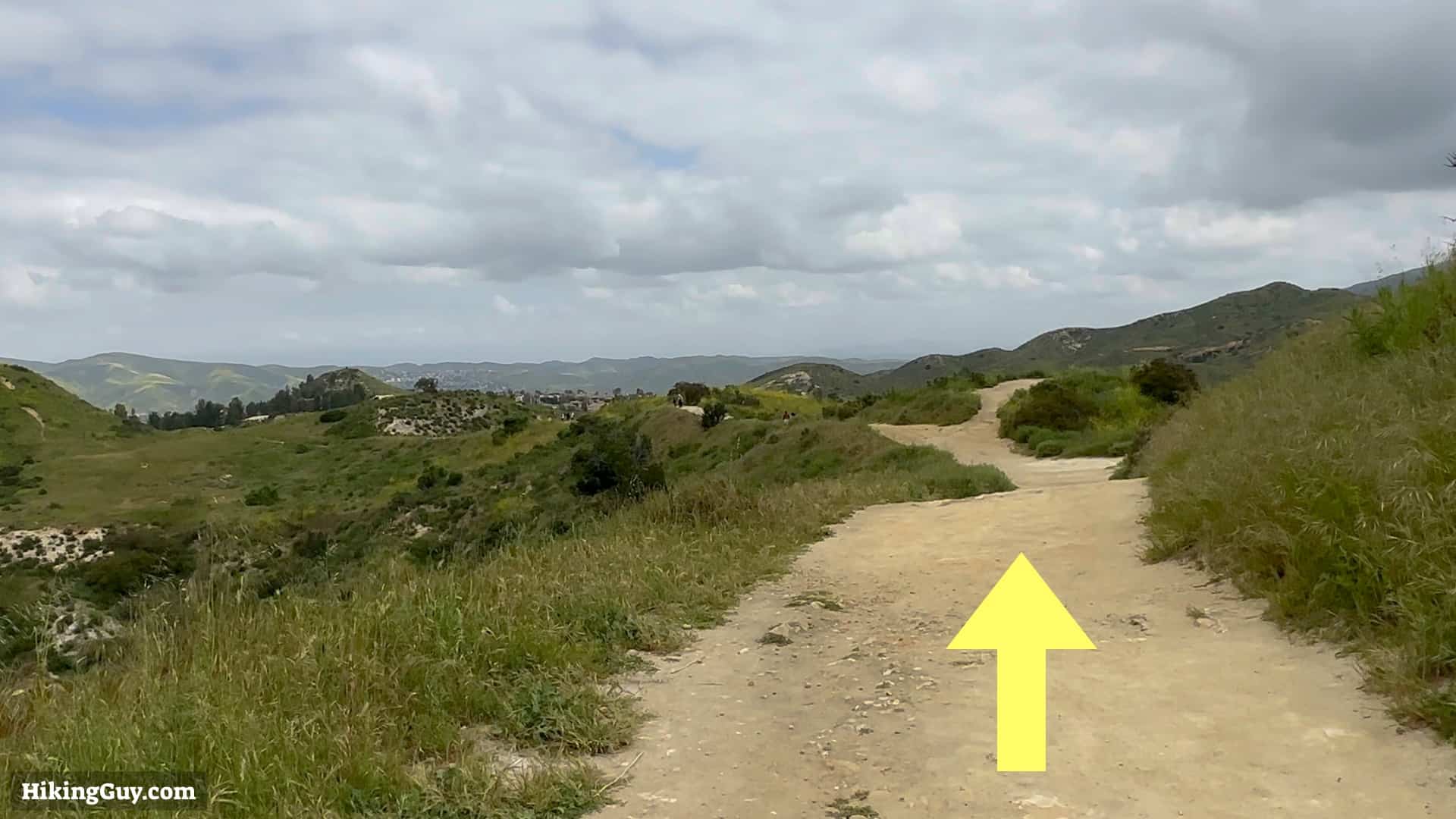
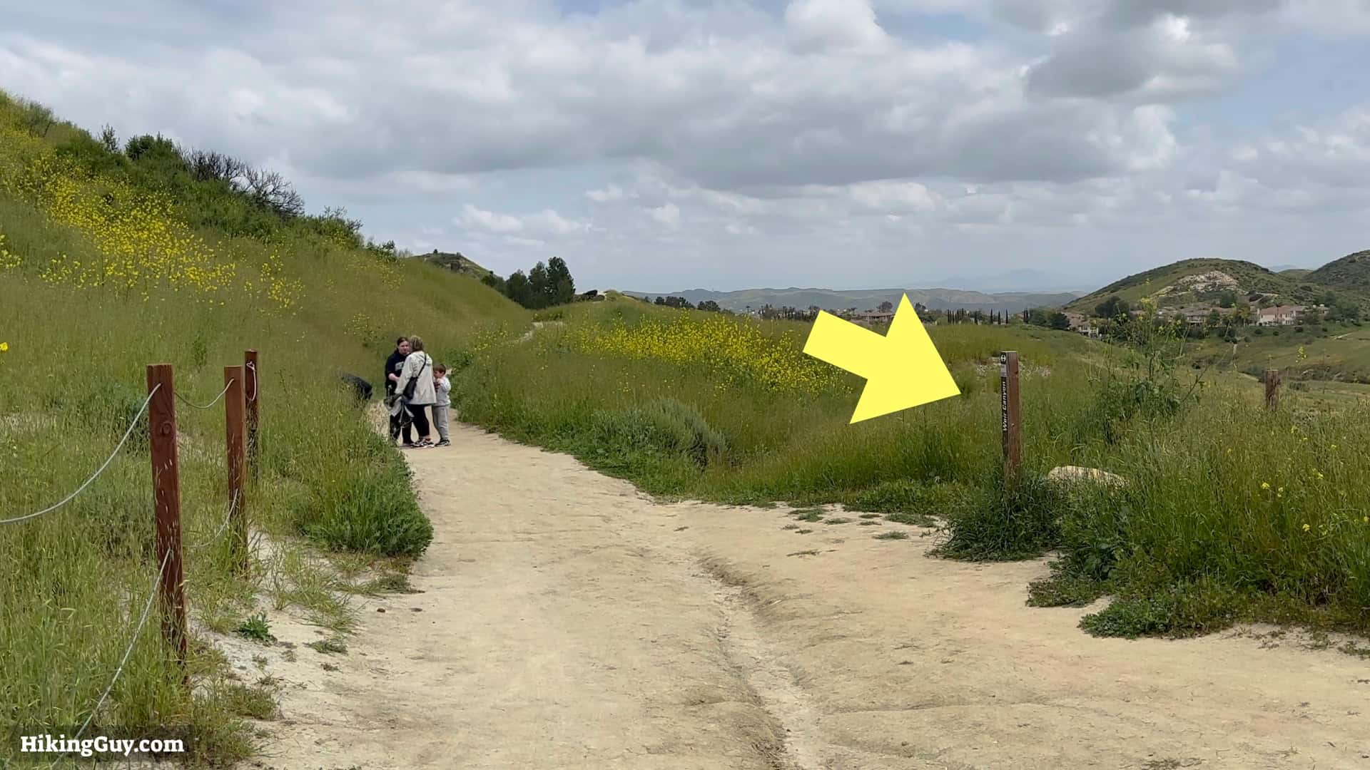
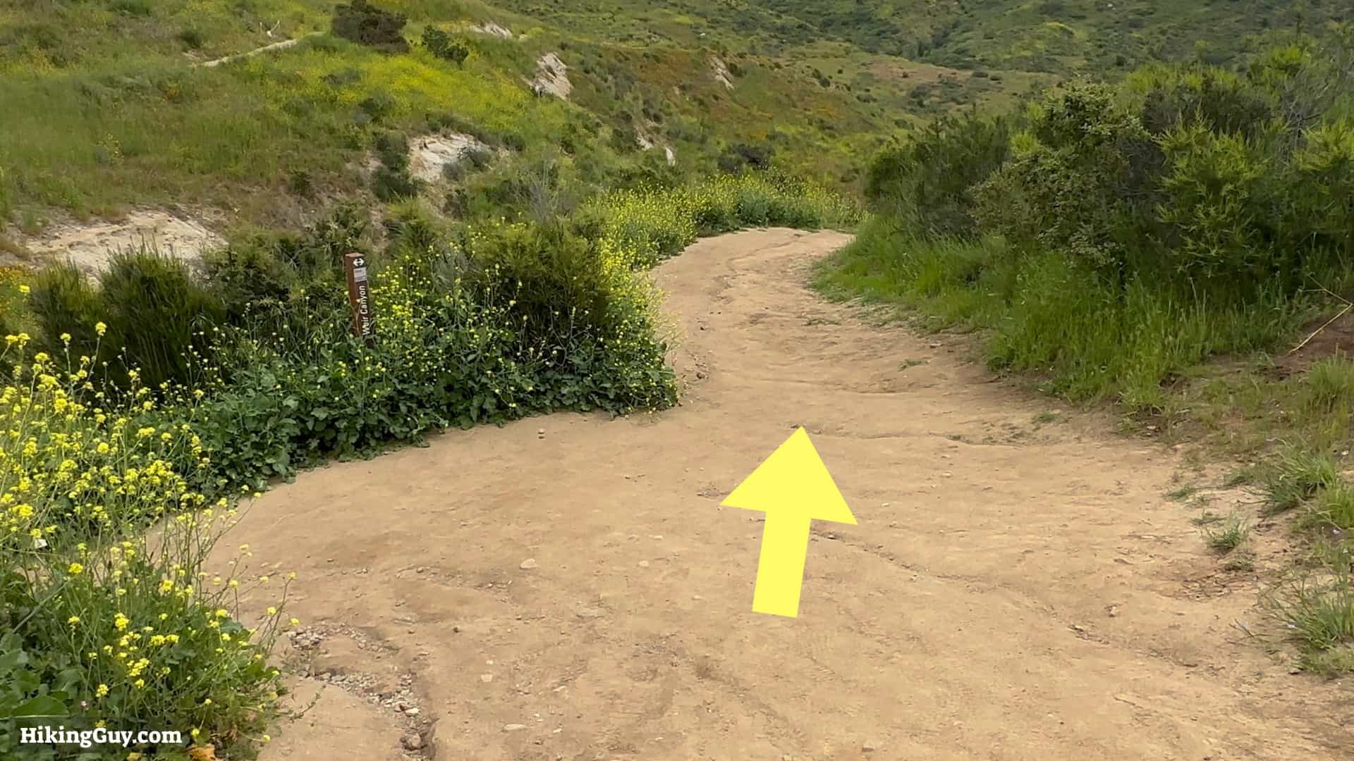
Weir Canyon Hike Directions


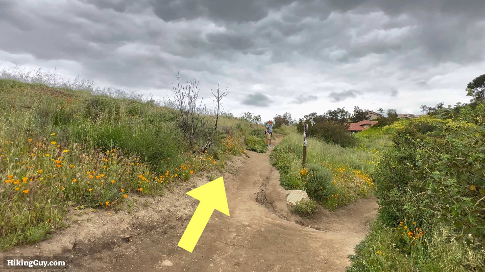

If you want a shorter, 1.5 mile hike, you can turn around and go back the way you came from here. Otherwise, continue.