Humphreys Peak Hike
Hike Stats
- Total Distance
- 9.6 miles
- Time
- 5-8 Hours
- Total Climbing
- 3360 feet
- Difficulty
- Hard
- Crowds
- Moderate
- Dogs
- No Dogs
- Gear
- What I Use
- Weather
- Latest Report
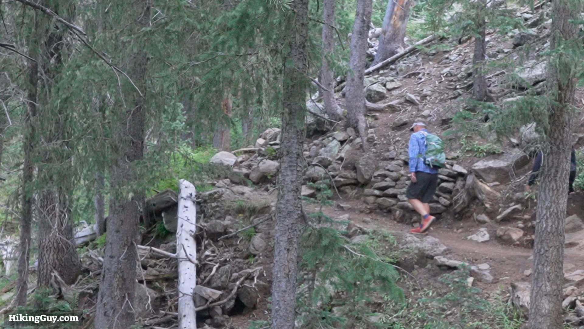
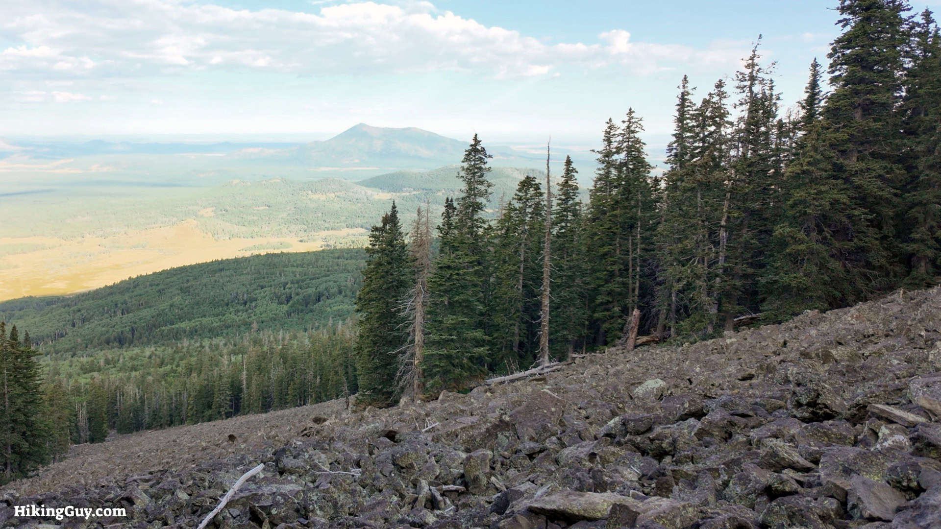
Humphreys Peak, the highest point in Arizona, is a classic hike. From the summit, you can see all the way to the Grand Canyon. The trail takes you through pine forests and above the treeline, providing a truly unique Arizona experience. In this guide I'll make the hike easy.
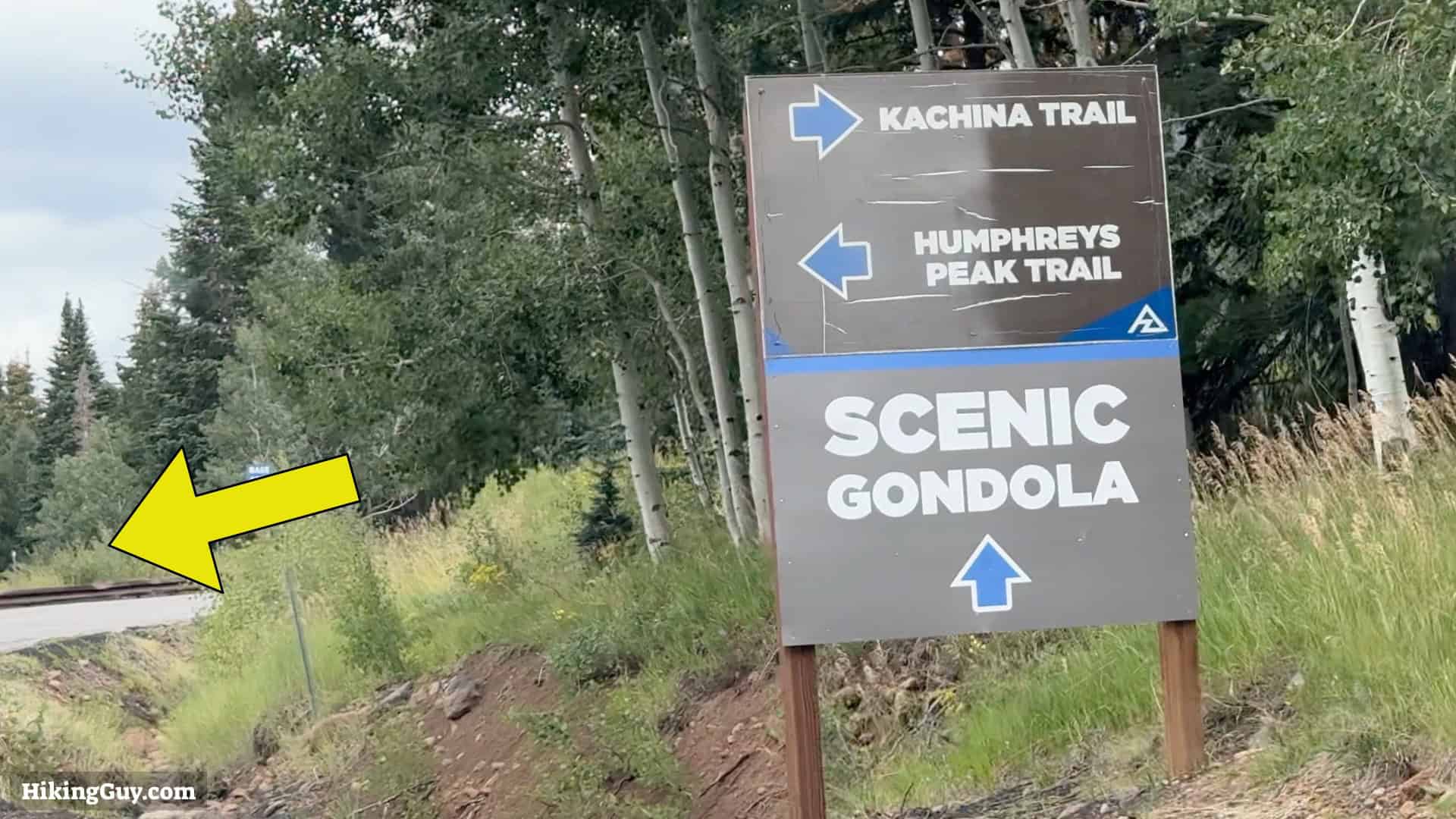
Where is Humphreys Peak Hike?
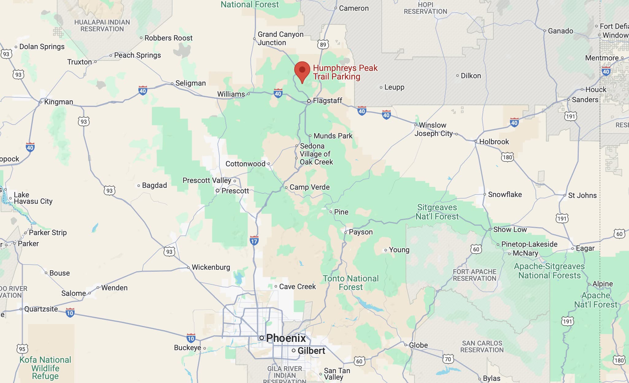
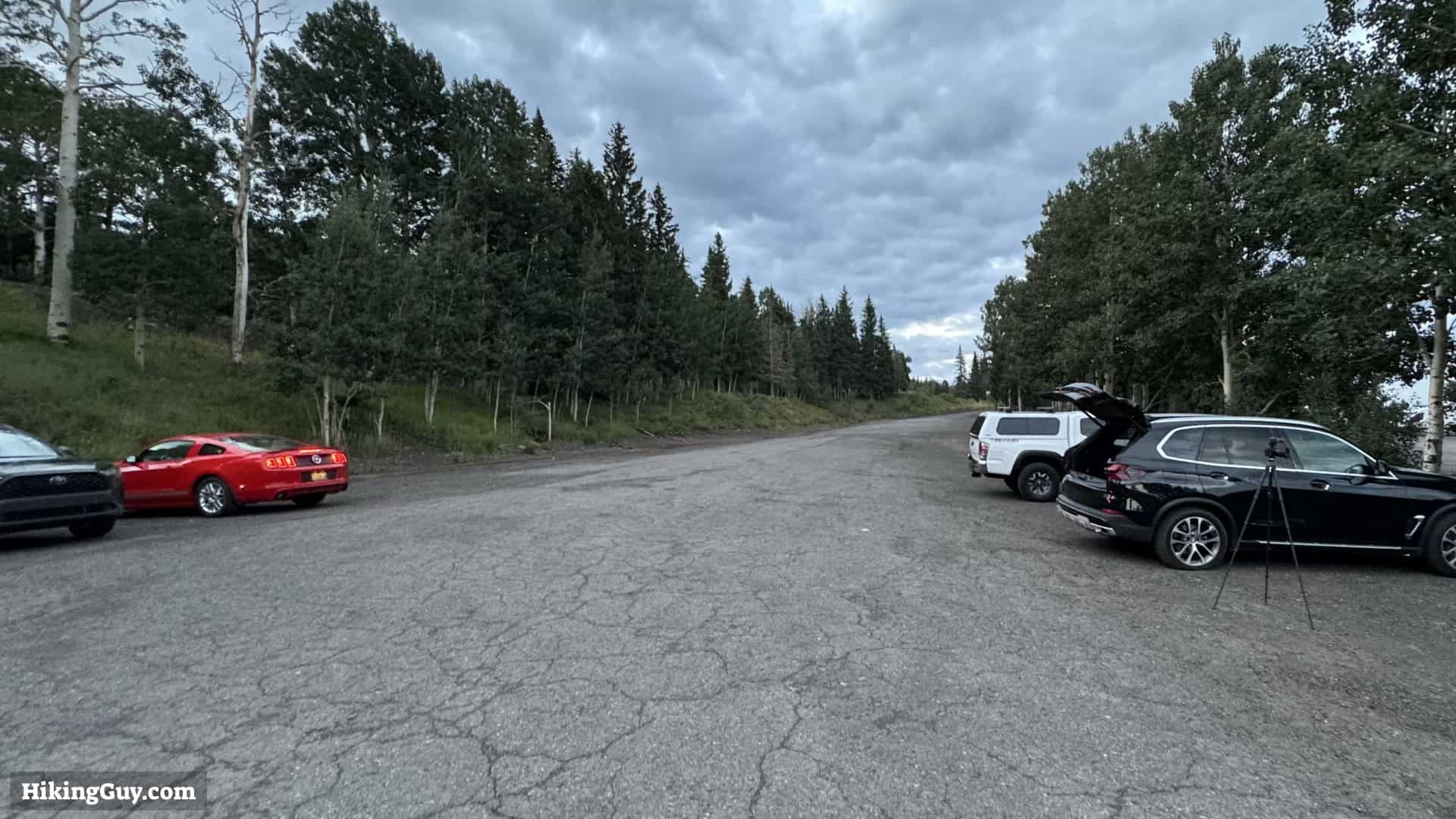
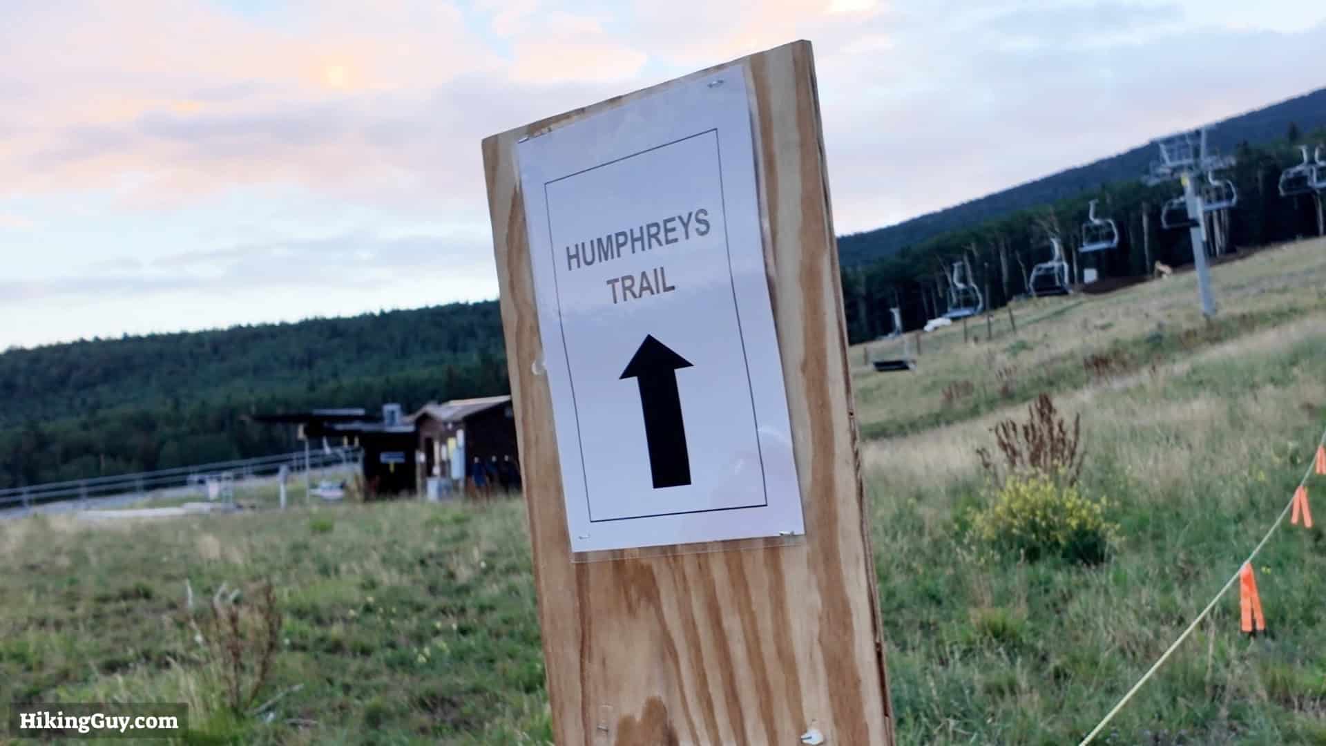
The hike starts at the Arizona Snowbowl Ski Area. The ski area leases the area from Coconino National Forest. Use this trailhead address:
9300 N Snow Bowl Rd, Flagstaff, AZ 86001
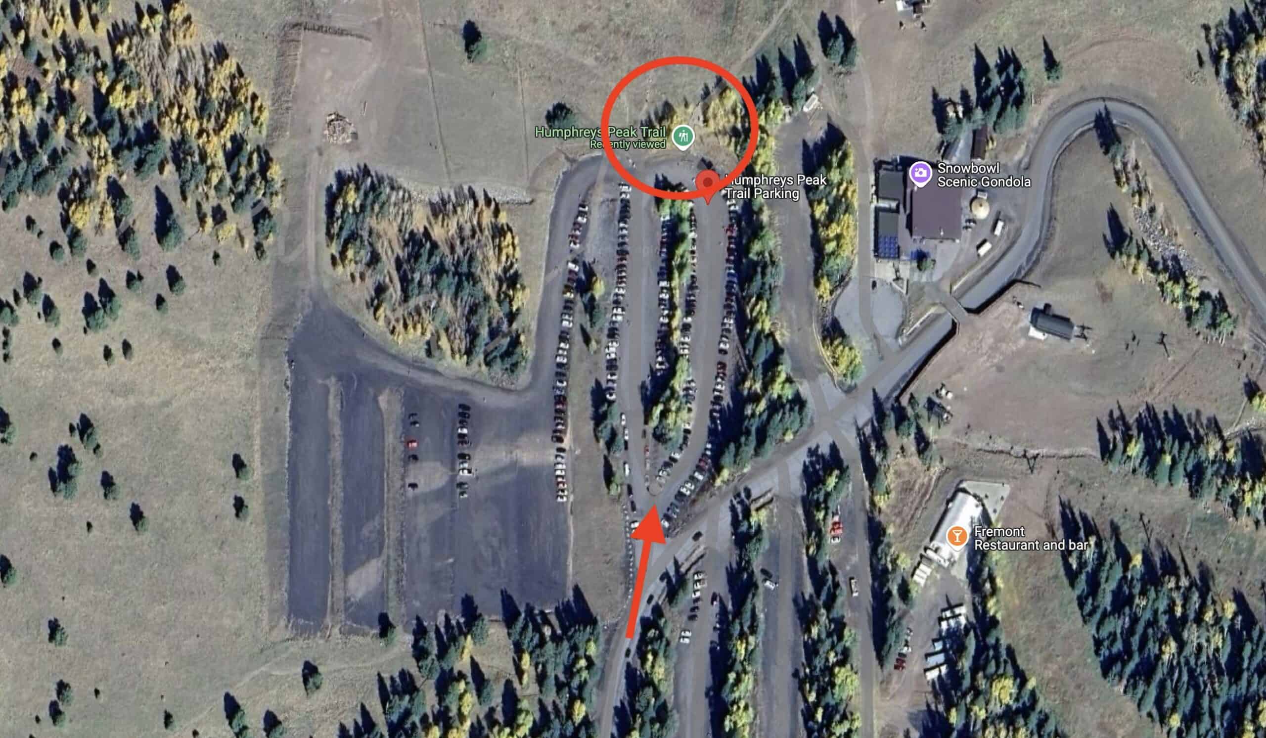
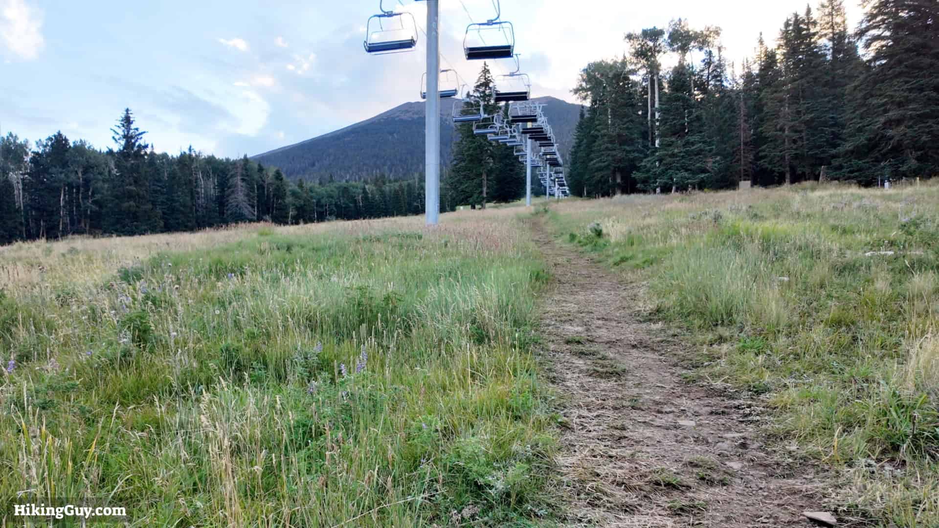
The hike starts at over 9200 feet. Expect the air to be thin. This area is known as "Arizona's little Colorado."
Gear Recommendations
- This is a high-altitude hike in the mountains and you need to prepare accordingly. Bring the 10 essentials and prepare for the worst.
- The weather in the mountains is changeable. At the very least prepare for cooler and windier conditions above the tree-line.
- Most people have cell phone reception for the whole hike, but I choose to bring a satellite communicator as well.
- 1-2 liters of water do the job most of the time unless it's very hot. There are no water sources along the hike.
- Trekking poles can be helpful on the steep slopes.
- If you're hiking in the early season, you may need micro-spikes for snowy sections.
Essentials I’m Using Now
- Garmin inReach Mini 2: Reliable SOS Everywhere on Earth
- Sawyer + CNOC Water Filter: Easy & Reliable Safe Water
- Nitecore NU25 Headlamp: Running late? Get home safe
- Altra Olympus 275: Favorite trail shoes right now, no blisters and very comfy.
- AllTrails Plus (30% off): Offline maps on your phone with the Plus level
- Full December 2025 Gear List →
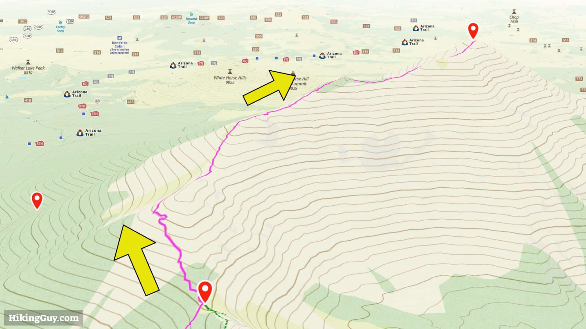
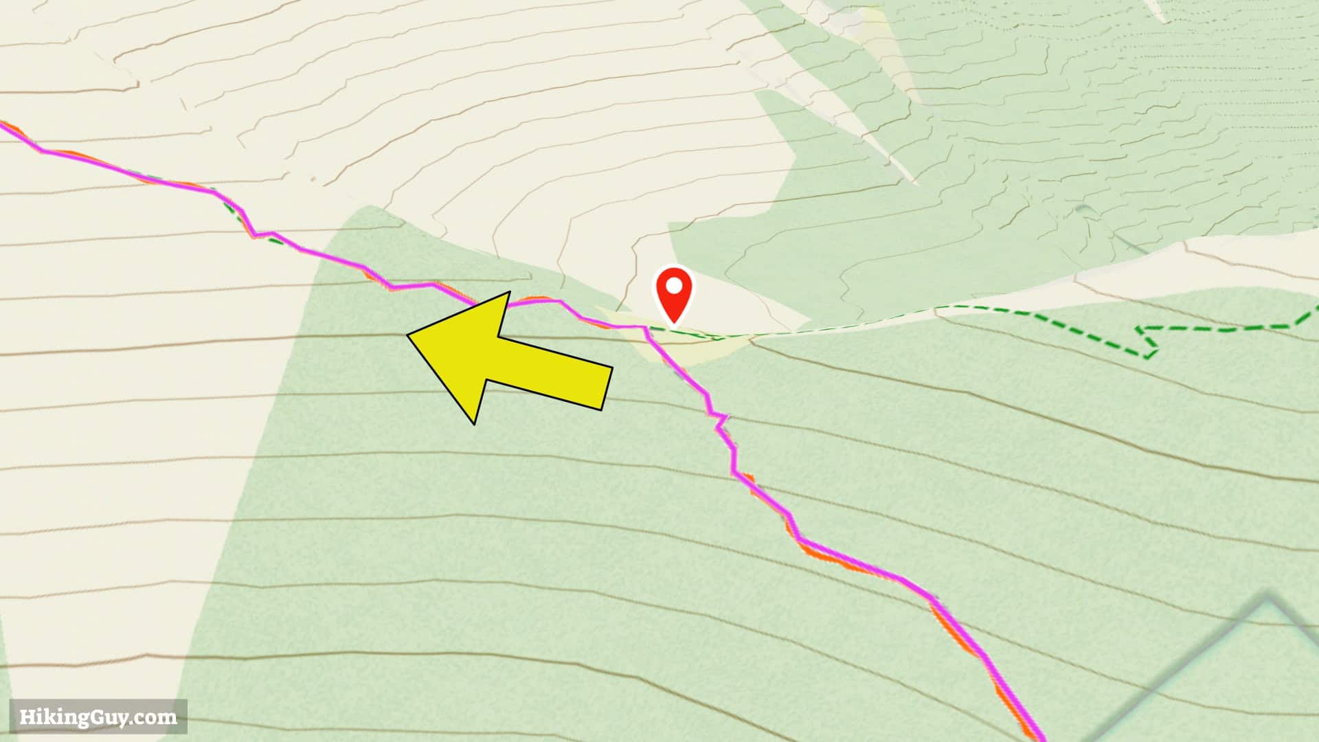
Humphreys Peak Trail Maps
Elevation Profile

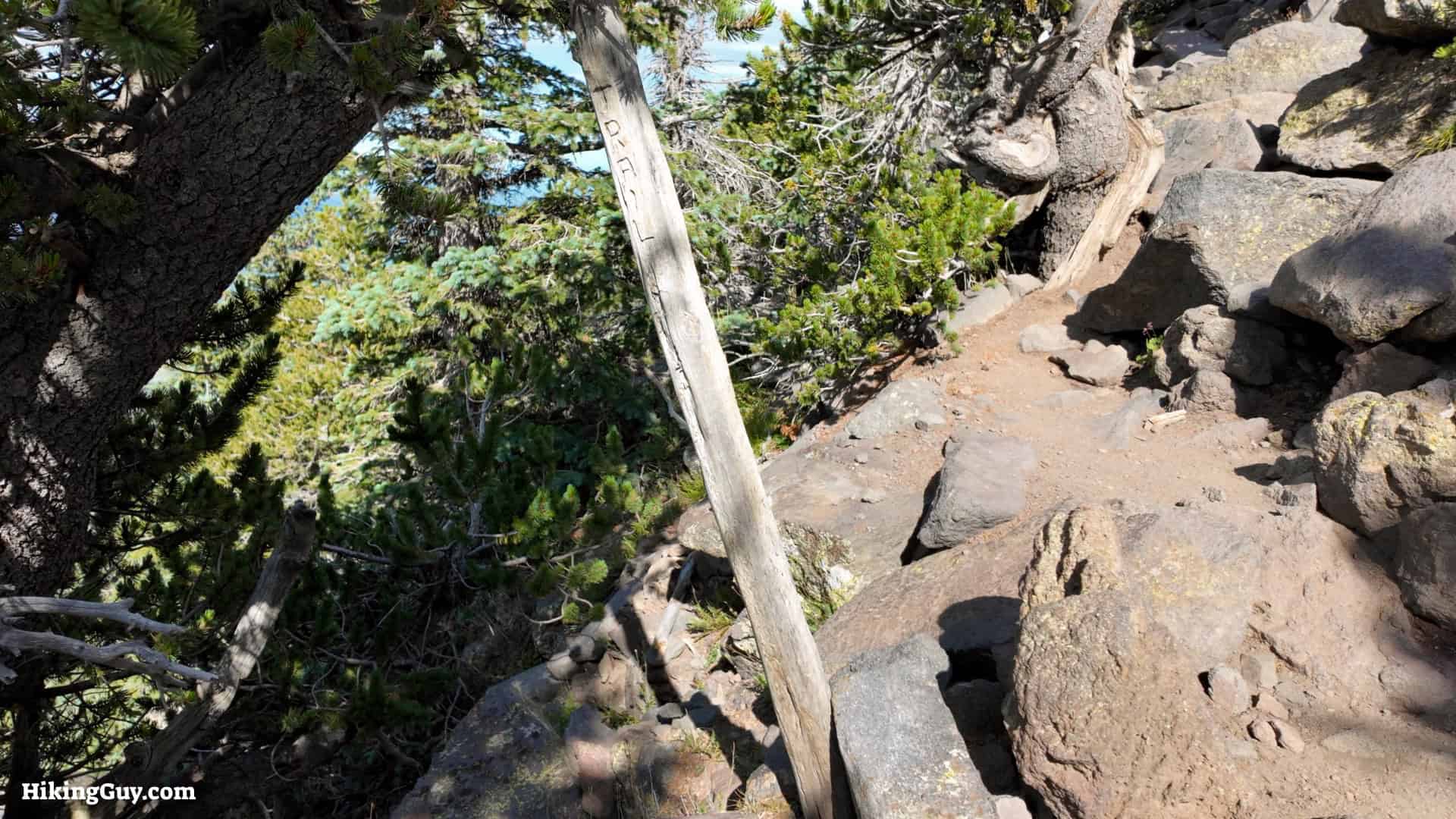
Humphreys Peak Hike Tips
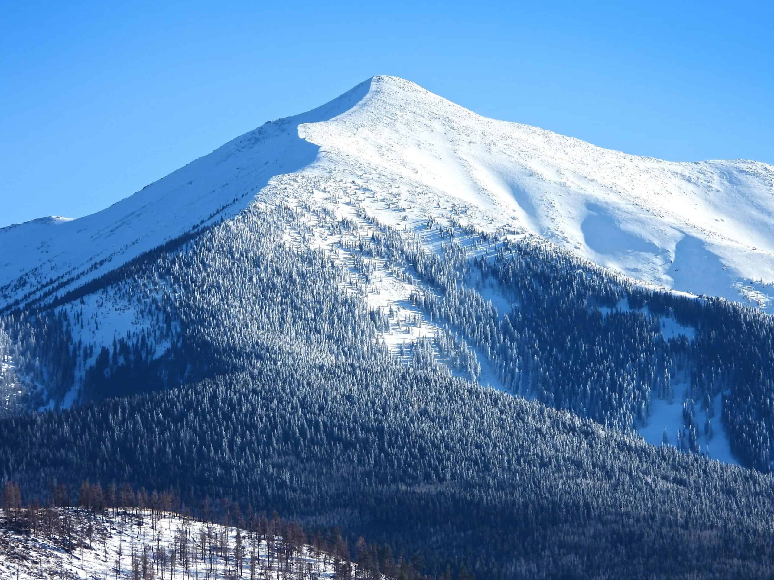
- The peak is over 12000 feet, and you can feel the effects of altitude sickness. Staying in Flagstaff or at altitude beforehand can help you acclimatize. If you get a severe headache, get disoriented, or nauseous, you are suffering from the effects of altitude. Stop and rest until the symptoms subside. If they get worse, descend until you feel better.
- The trail is generally snow-free from June to October.
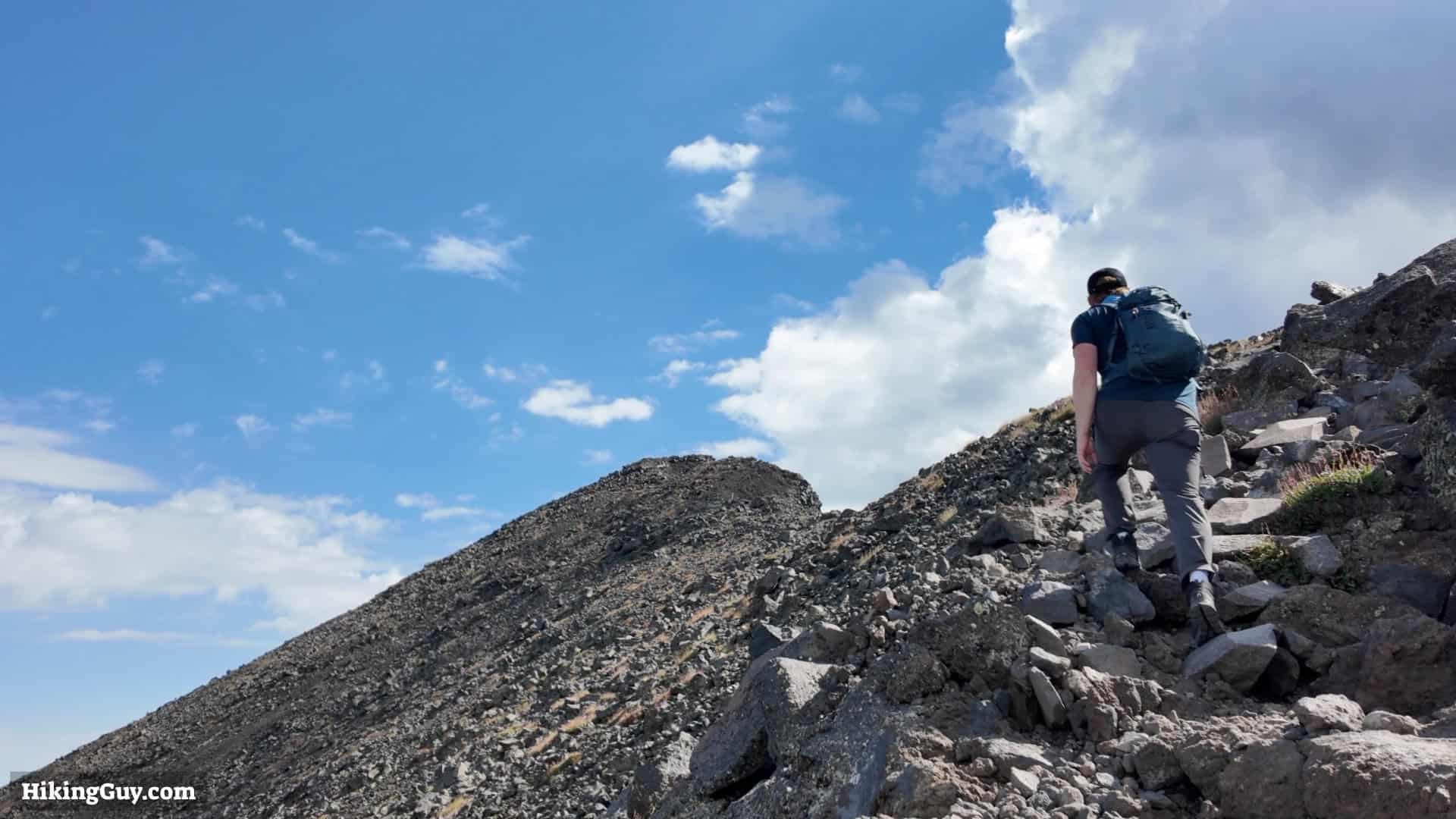
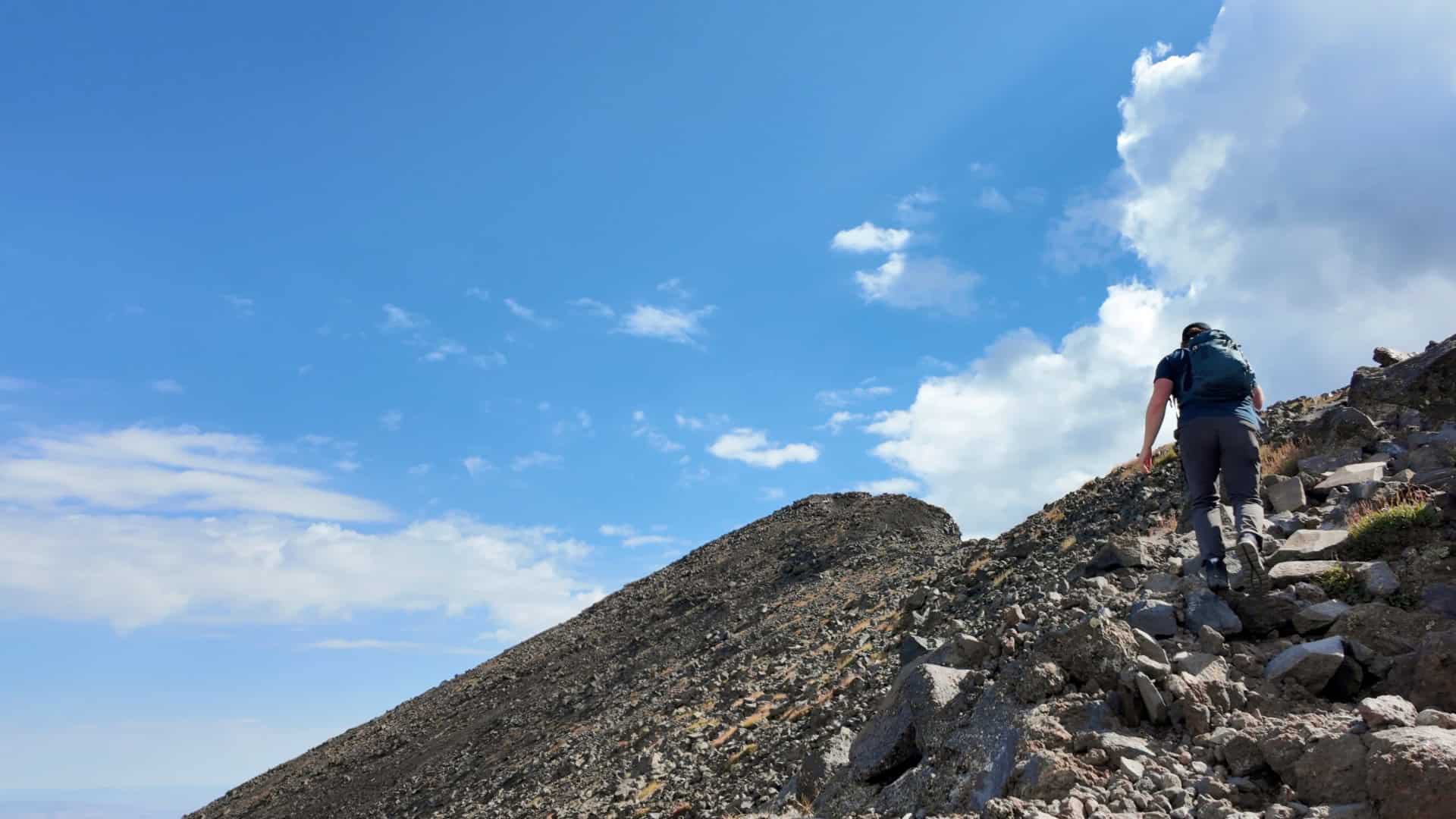
- During hiking season the area above the tree-line is completely exposed and at risk from thunderstorms. If you hear thunder, be prepared to turn around and boogie back down. Start at sunrise to maximize your chance of avoiding afternoon storms. The area above the tree-line can be very windy as well.
- There are no official campsites along the hike, but dispersed camping is allowed below 11,400 feet and away from the ski area.
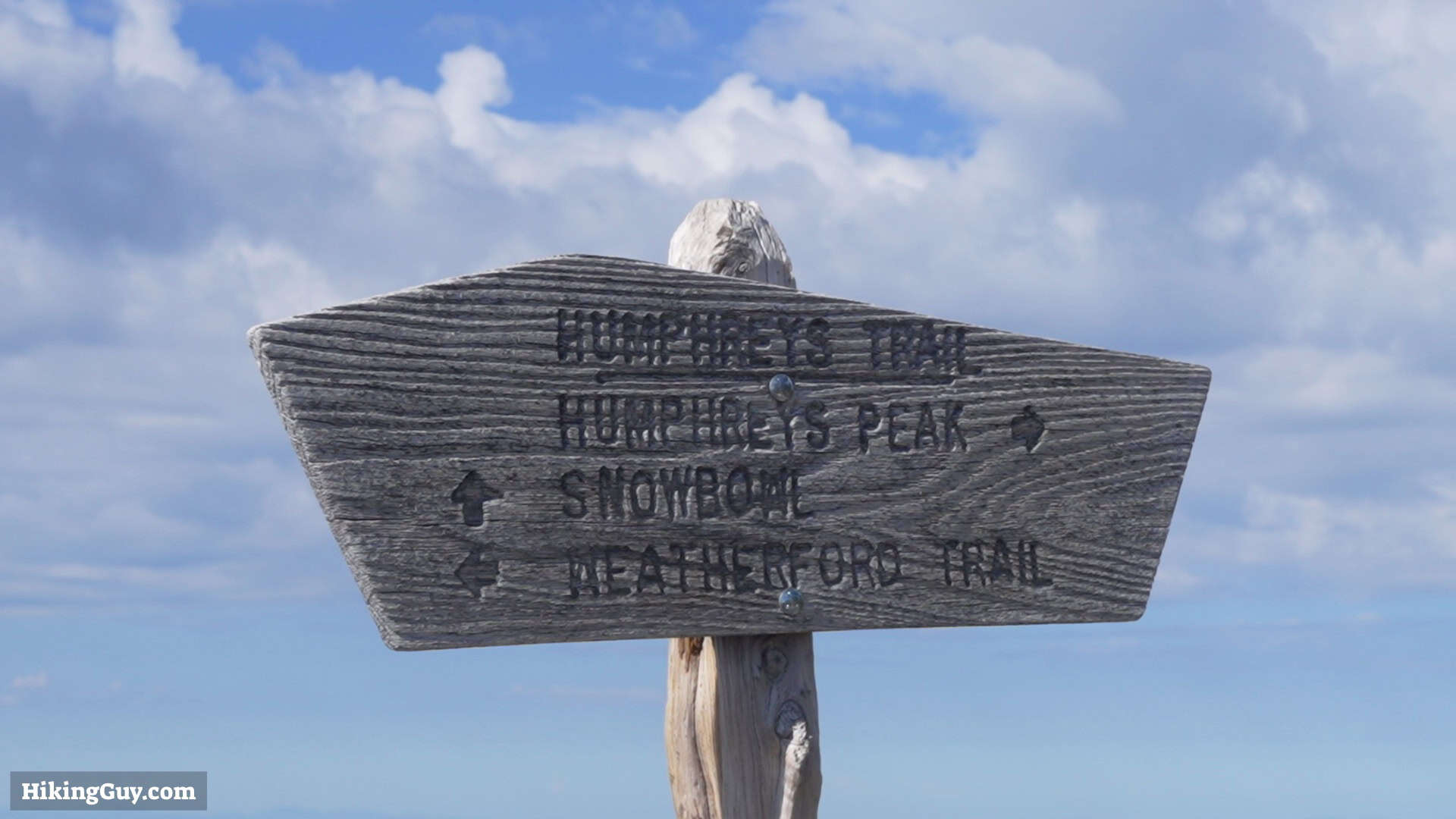
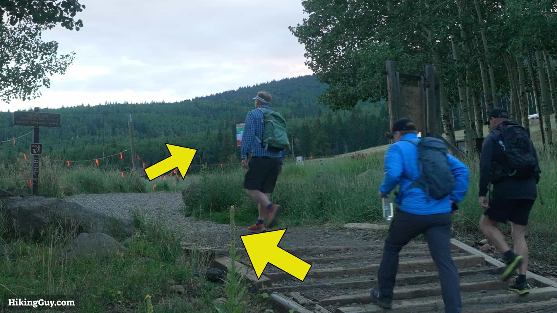
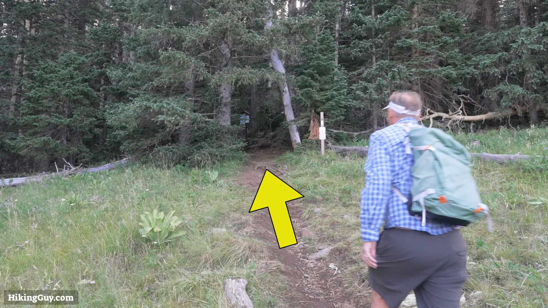
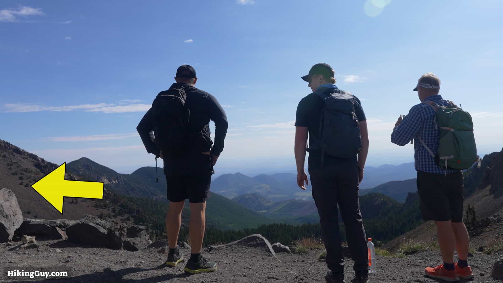
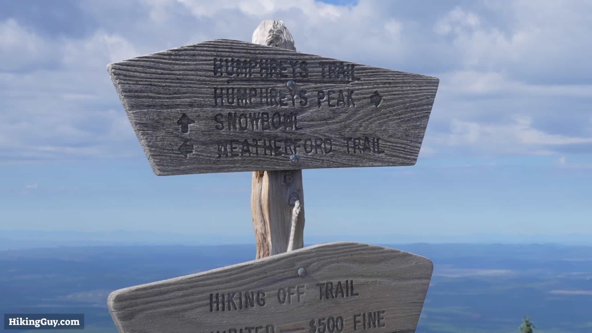
Humphreys Peak Hike Directions
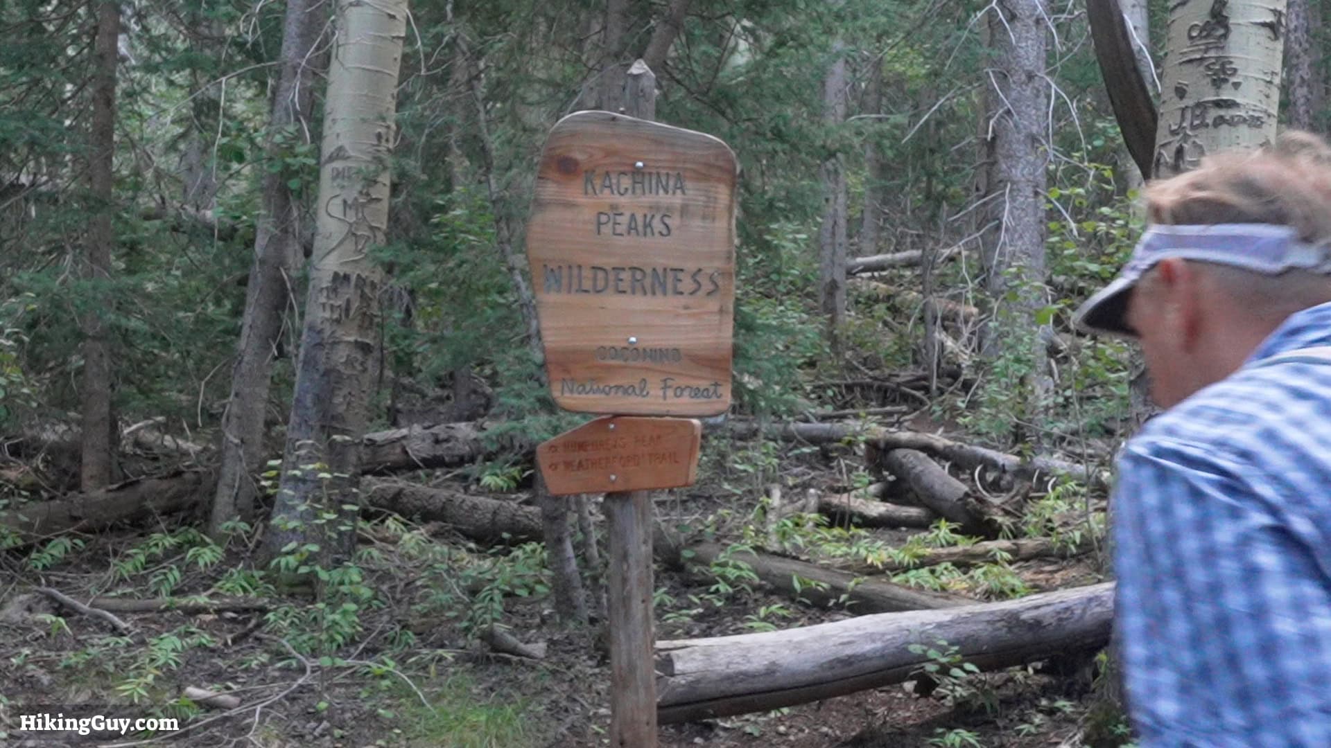
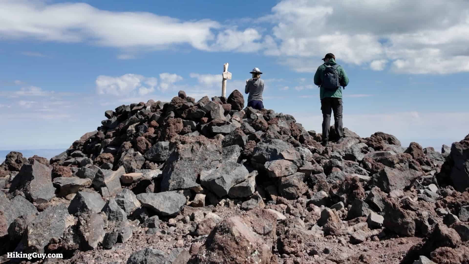
The area is named for the Hopi spirit beings, or Kachinas, some of whom according to Hopi mythology live here from July to December. Humphreys Peak is considered sacred by many Native Peoples including the Hopi, Navajo, and Apache.
If you look up from the scree field, you may see some shiny objects in the distance—pieces of wreckage from a B-24 bomber that crashed here in 1944. After the crash, many visitors, not knowing it had been there for a while, kept reporting a new plane crash on the mountain, so the Forest Service blew up the wreckage in 1950. Some pieces still remain.
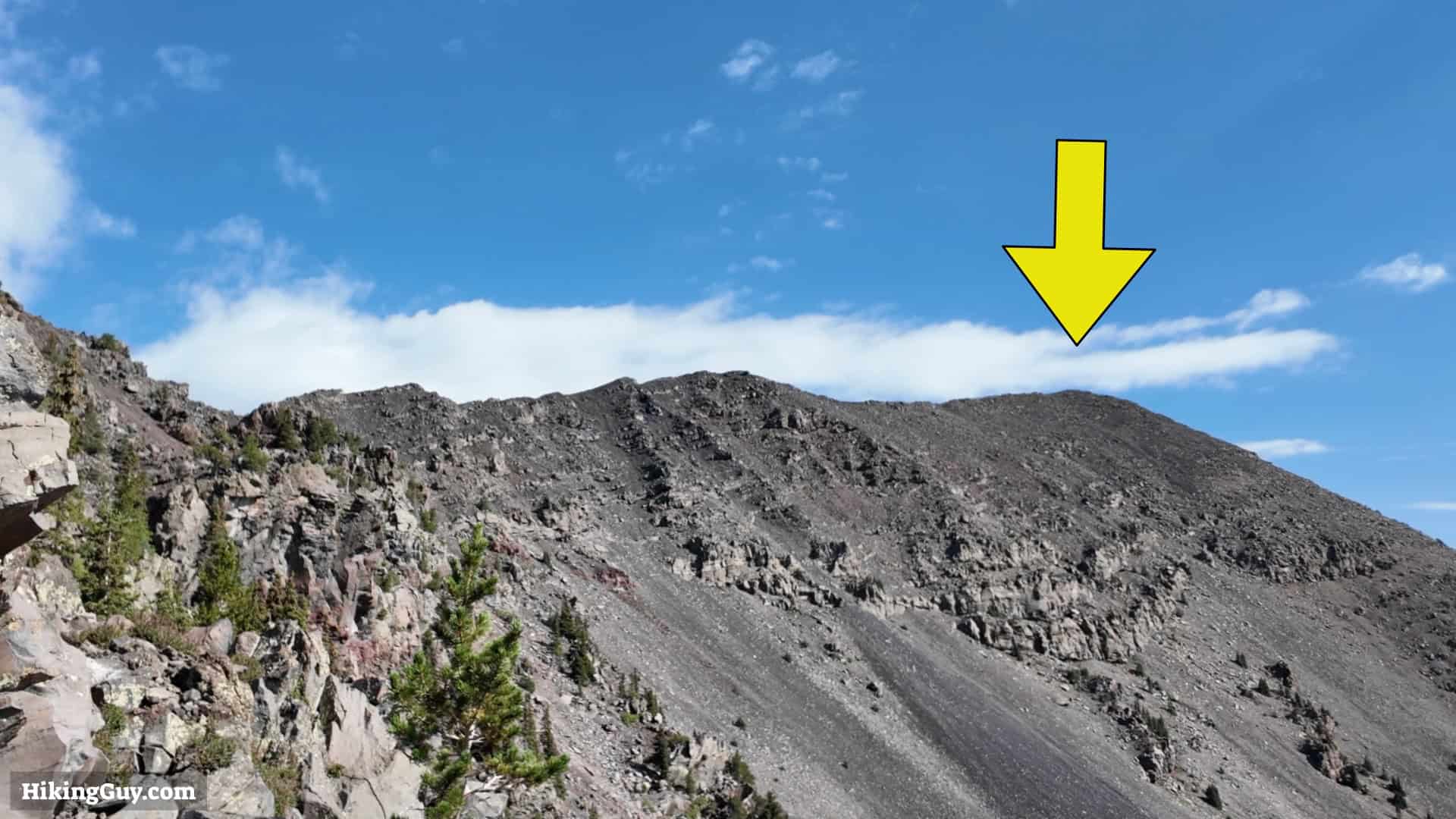
From here to the summit, it's exposed. If you see bad weather coming in, it makes sense to turn around and head back.