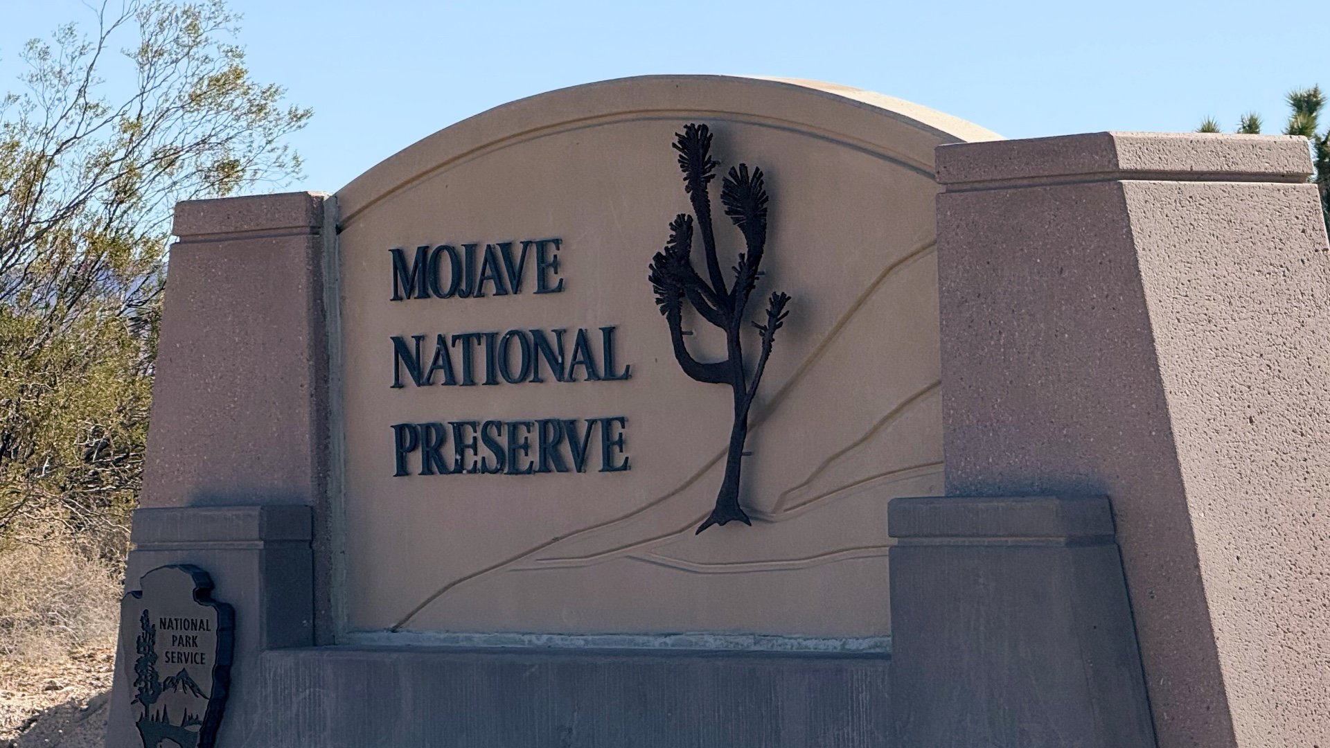
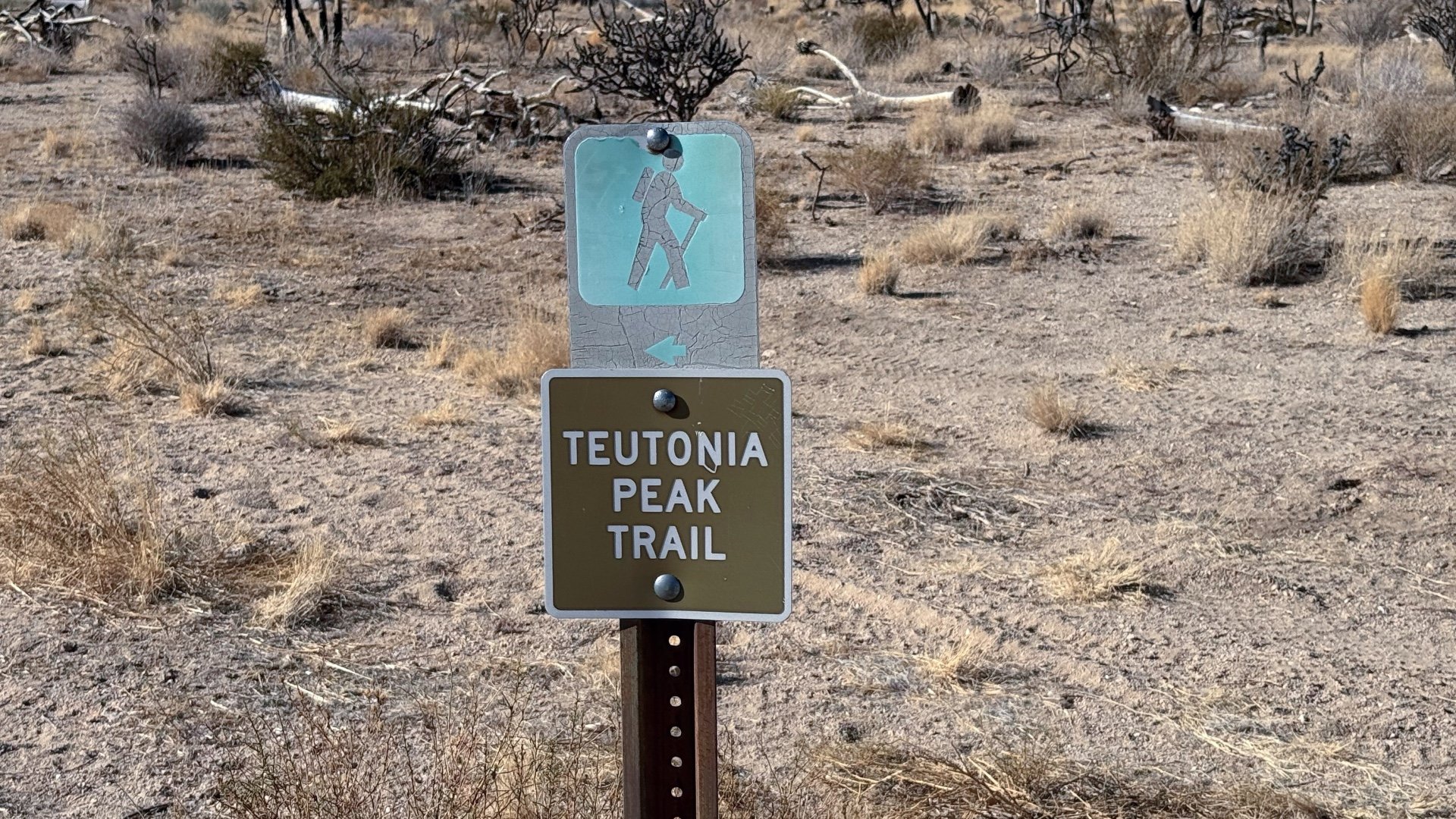
Hike Teutonia Peak Trail
Hike Stats
- Total Distance
- 3.3 miles
- Time
- 1-2 hours
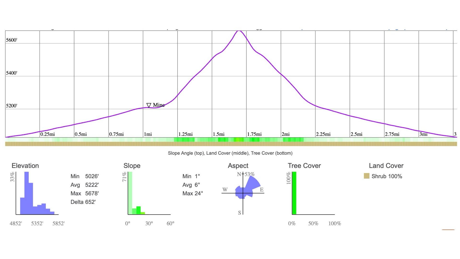
- Total Climbing
- 650 feet
- Difficulty
- Moderate
- Crowds
- Quiet
- Dogs
- Leashed
- Gear
- What I Use
- Weather
- Latest Report
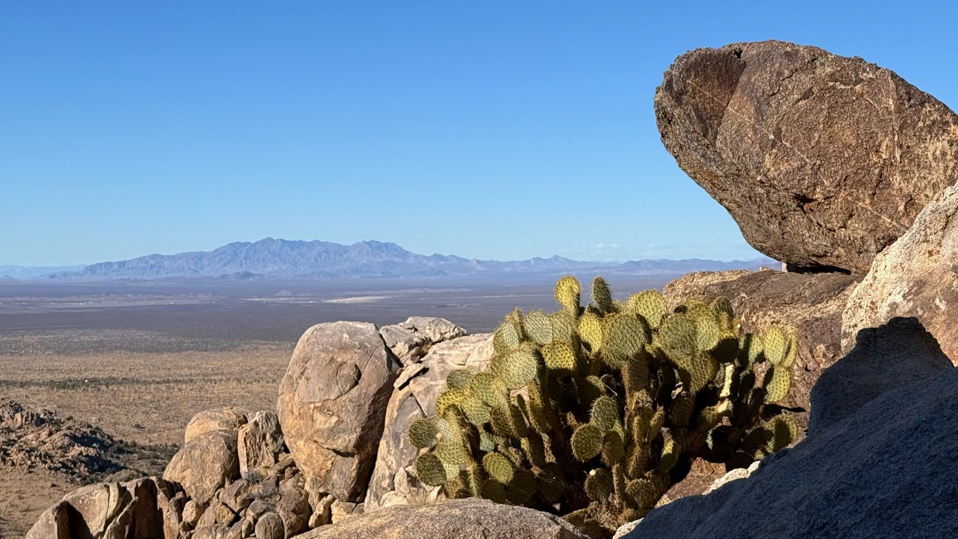
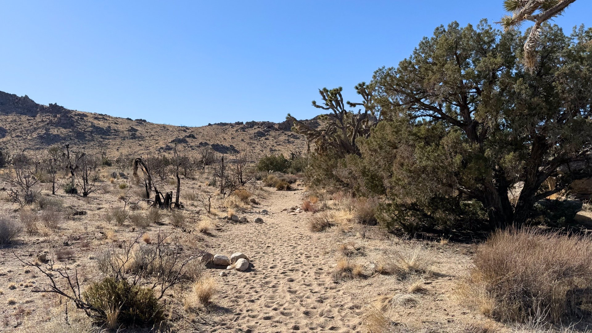
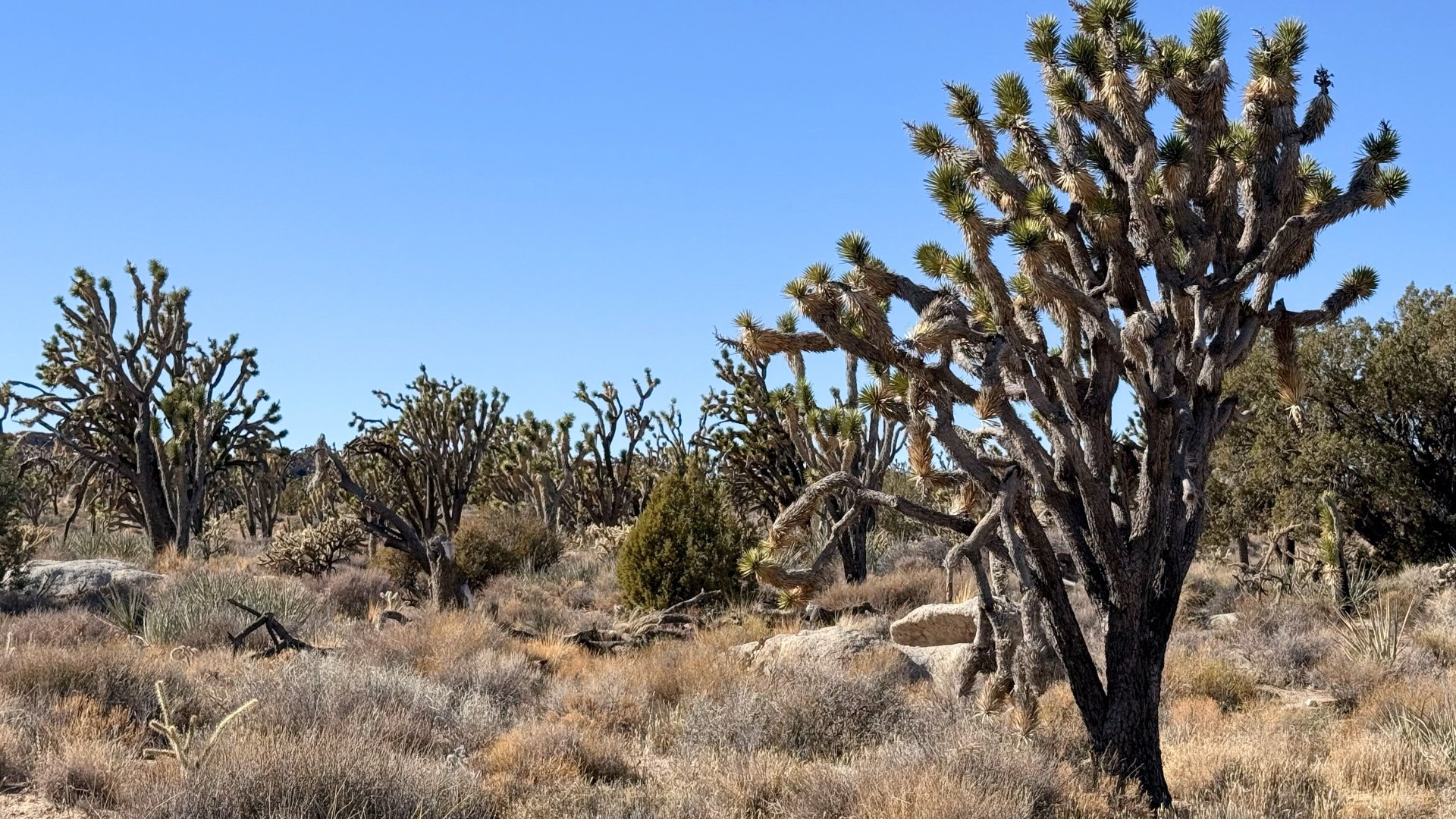
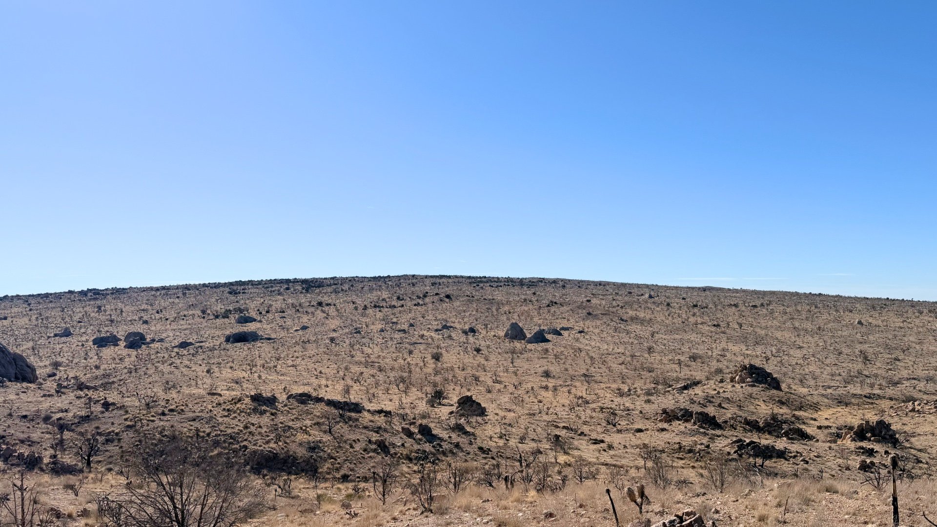
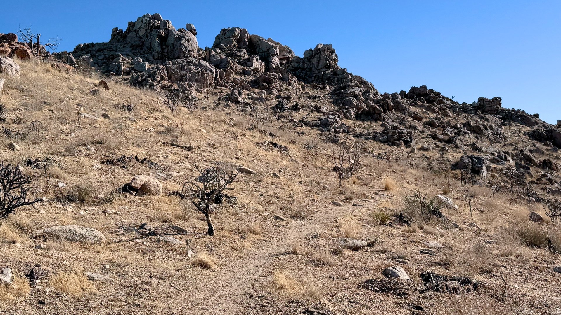
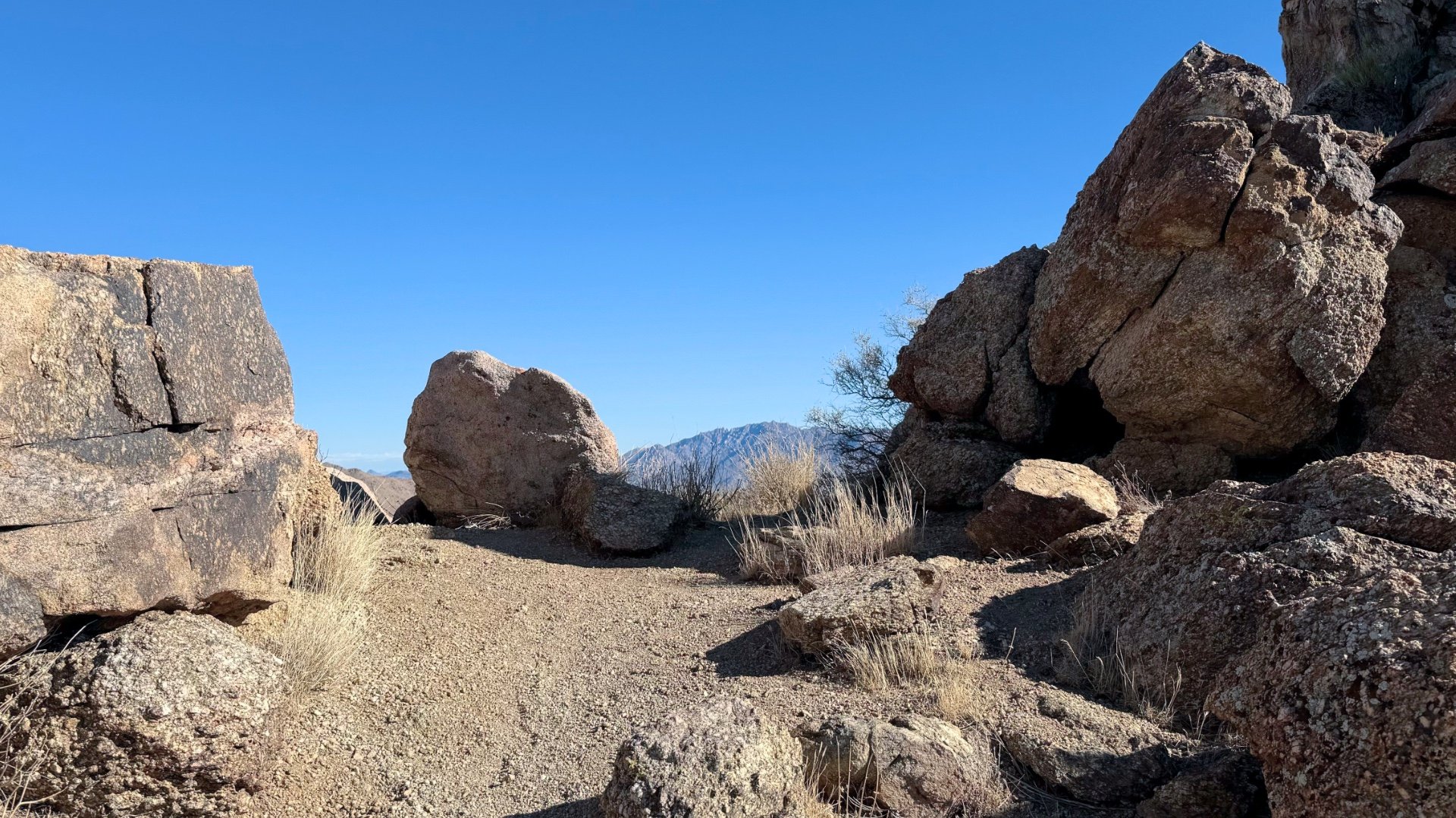
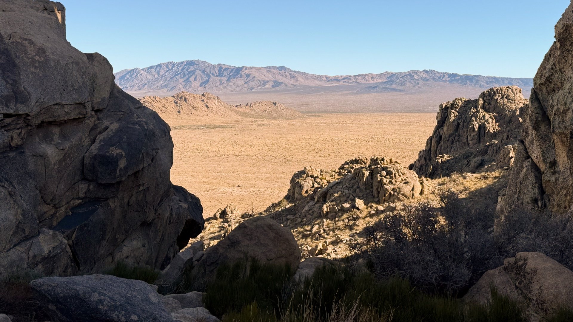
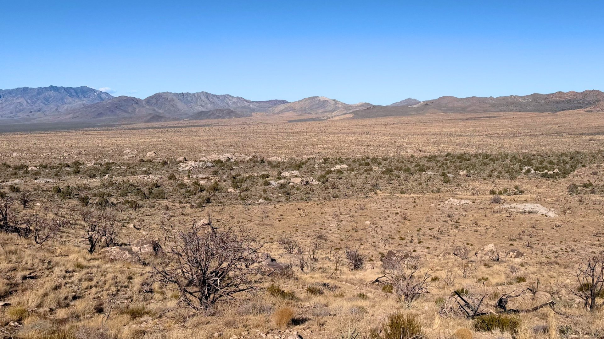
Teutonia Peak, at 5,755 feet, offers a rewarding short hike within Mojave National Preserve, conveniently accessible from Interstate 15, south of Las Vegas. The trail leads through a Joshua Tree forest, which was among the densest in the world before the 2020 Dome Fire. Hikers can witness the contrasting landscapes of charred Joshua trees and areas of regrowth. Along the way, you'll encounter remnants of abandoned mines, and upon reaching the summit, you're rewarded with expansive views of Cima Dome—a massive, nearly symmetrical geological formation rising 1,500 feet above the surrounding desert.
I've also included a quick guide to visiting the nearby Mojave Memorial Cross, an unassuming monument that became the center of a church-versus-state battle at the U.S. Supreme Court.
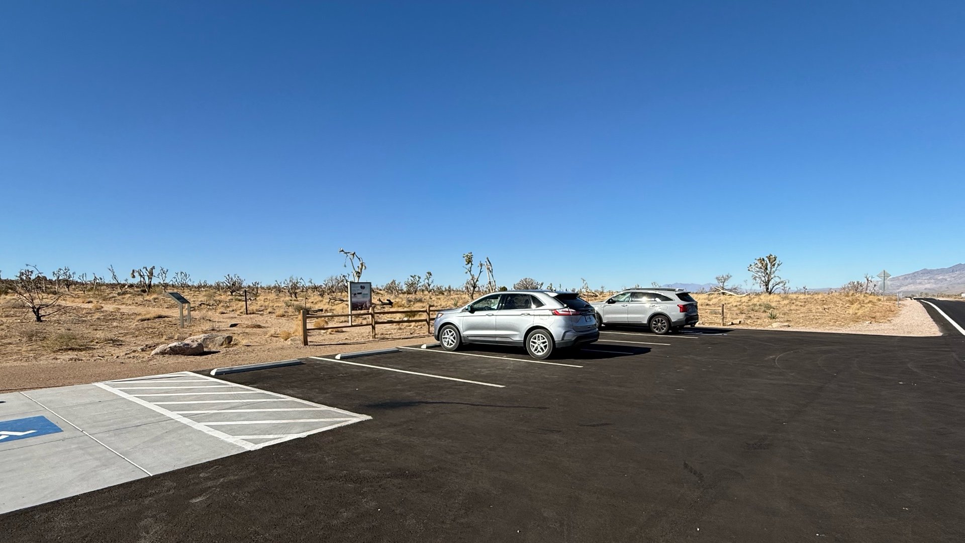
Where is the Teutonia Peak Trail?
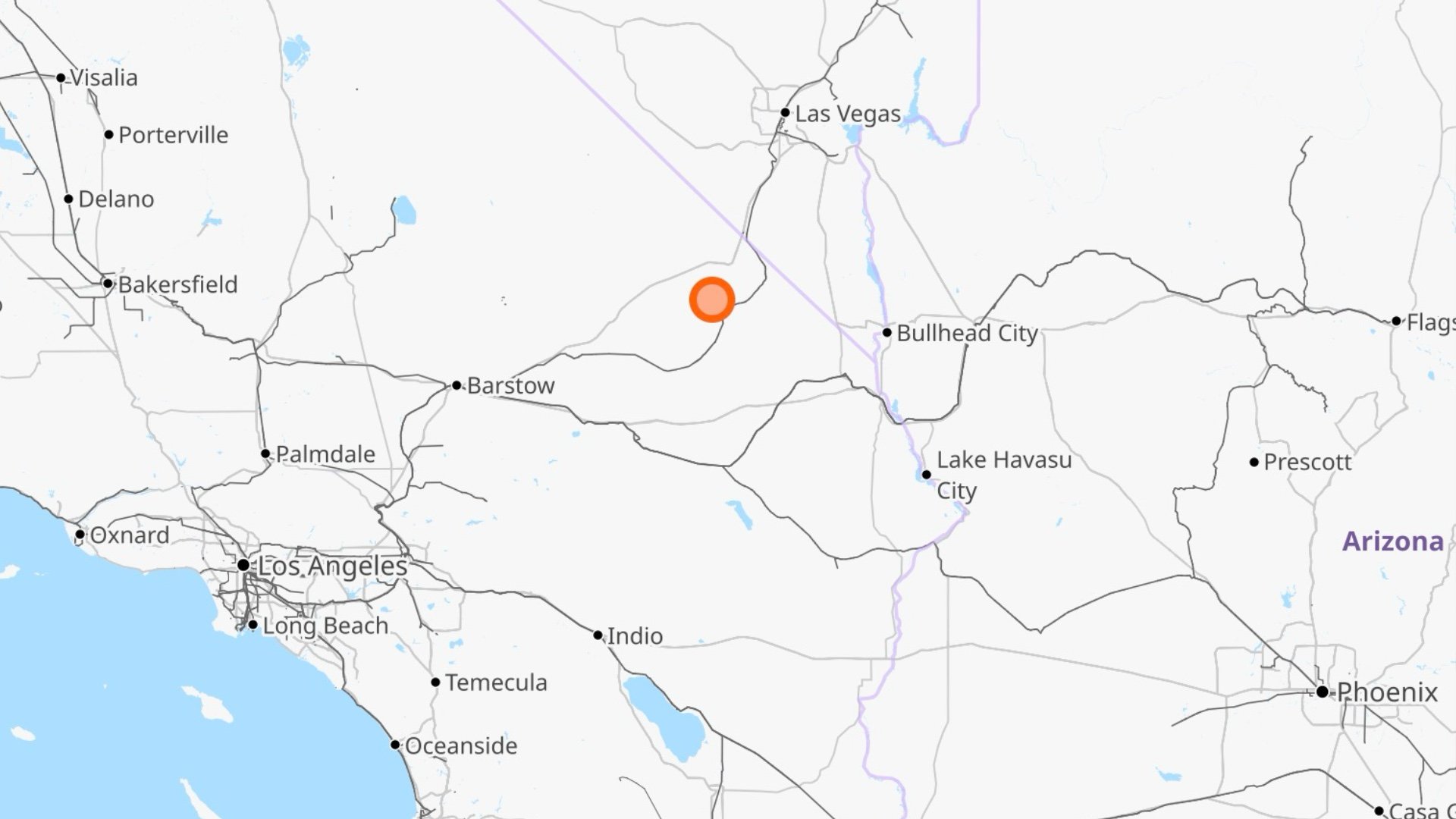
Here's the trailhead address:
Teutonia Peak Trail, Cima Rd, Nipton, CA 92364
Gear Recommendations
The Mojave Desert is a place of extremes. As I write this guide in March, it's snowing there. In the summer, temperatures can soar above 100°F, making even short hikes like this potentially life-threatening. It's crucial to check the weather, bring plenty of water, and protect yourself against the sun.
Essentials I’m Using Now
- Garmin inReach Mini 2: Reliable SOS Everywhere on Earth
- Sawyer + CNOC Water Filter: Easy & Reliable Safe Water
- Nitecore NU25 Headlamp: Running late? Get home safe
- Altra Olympus 275: Favorite trail shoes right now, no blisters and very comfy.
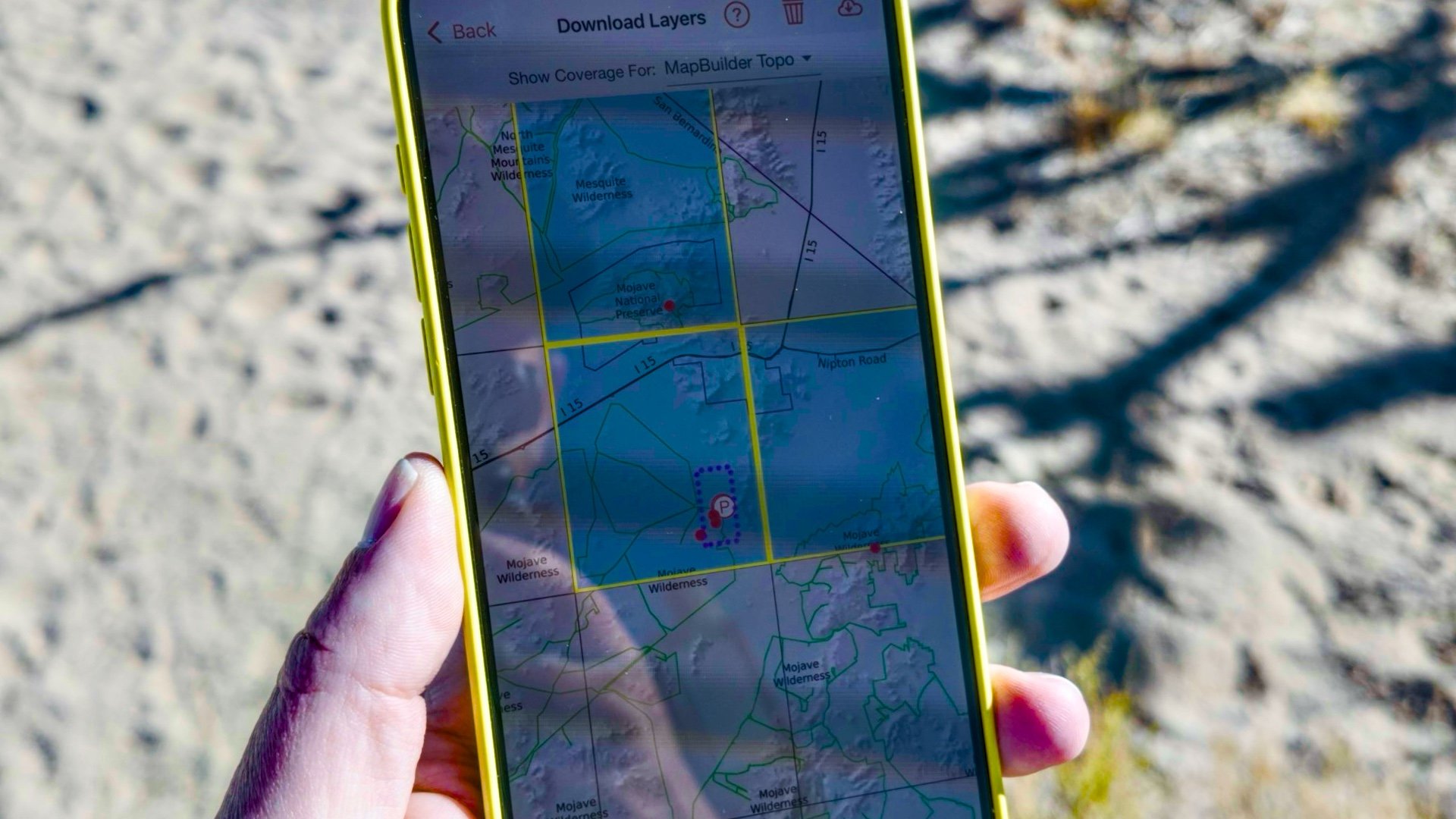
- AllTrails Plus (30% off): Offline maps on your phone with the Plus level
- Full December 2025 Gear List →
Teutonia Peak Trail Maps
Elevation Profile
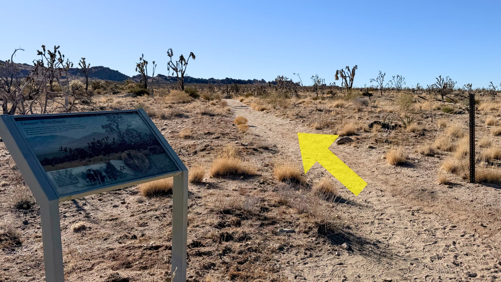
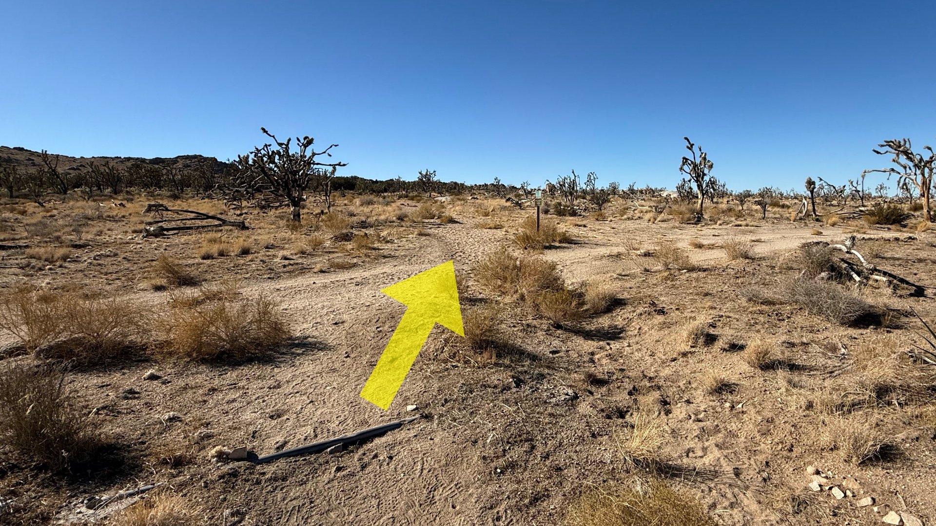
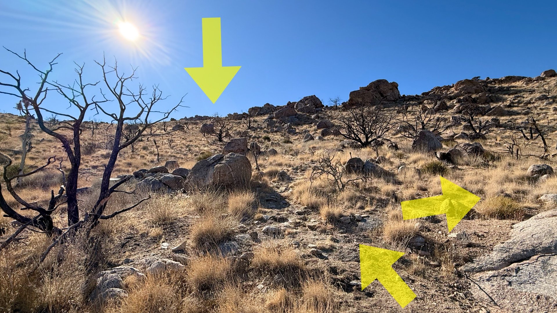
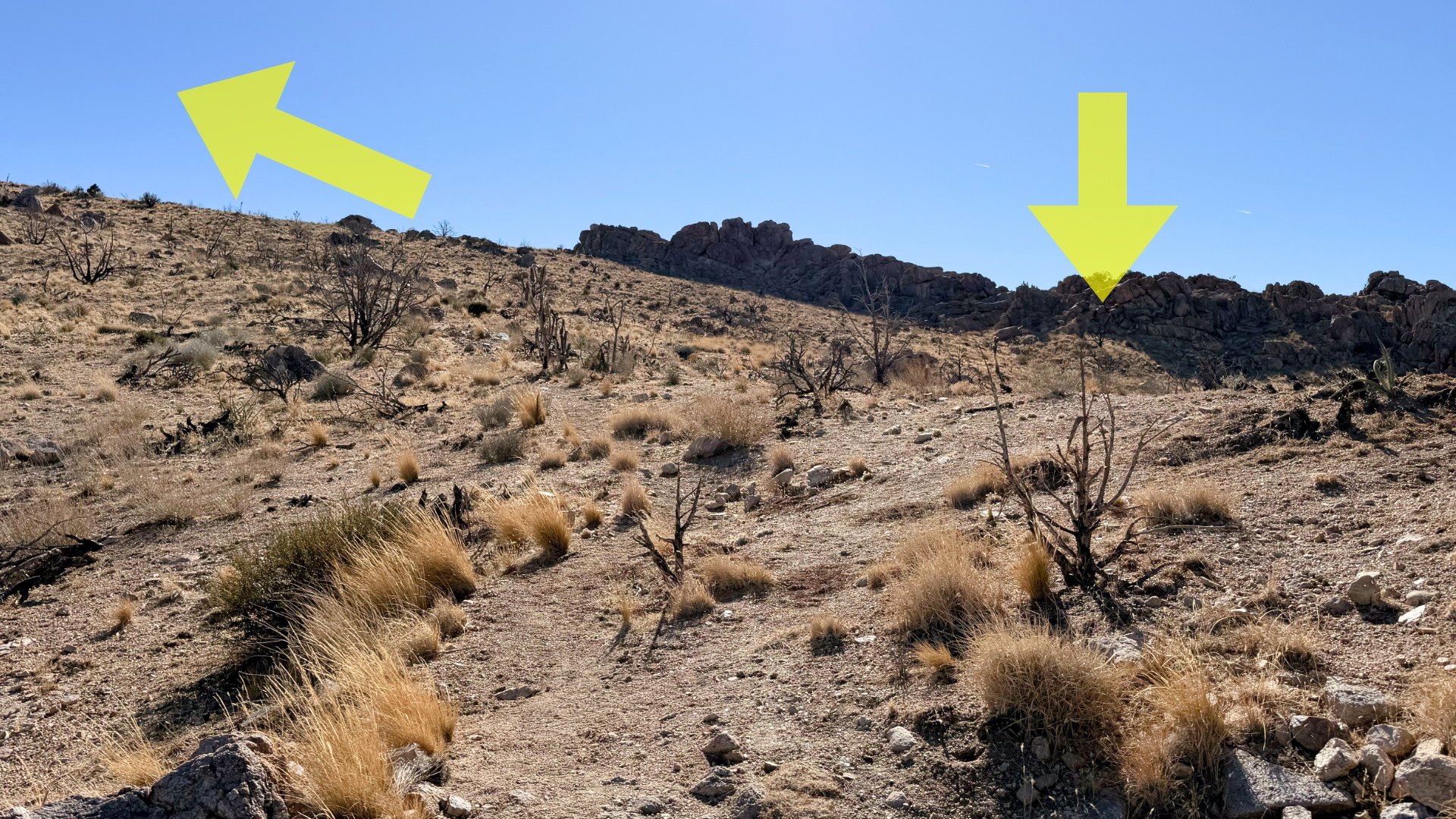
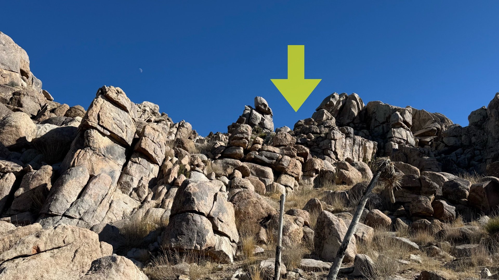
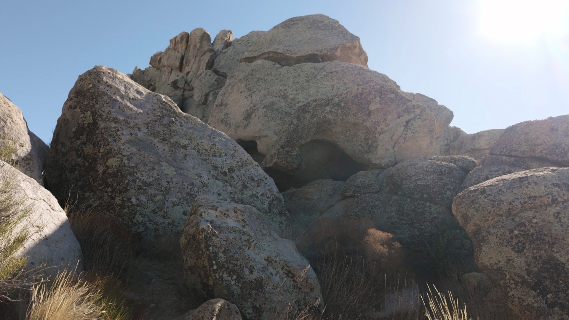
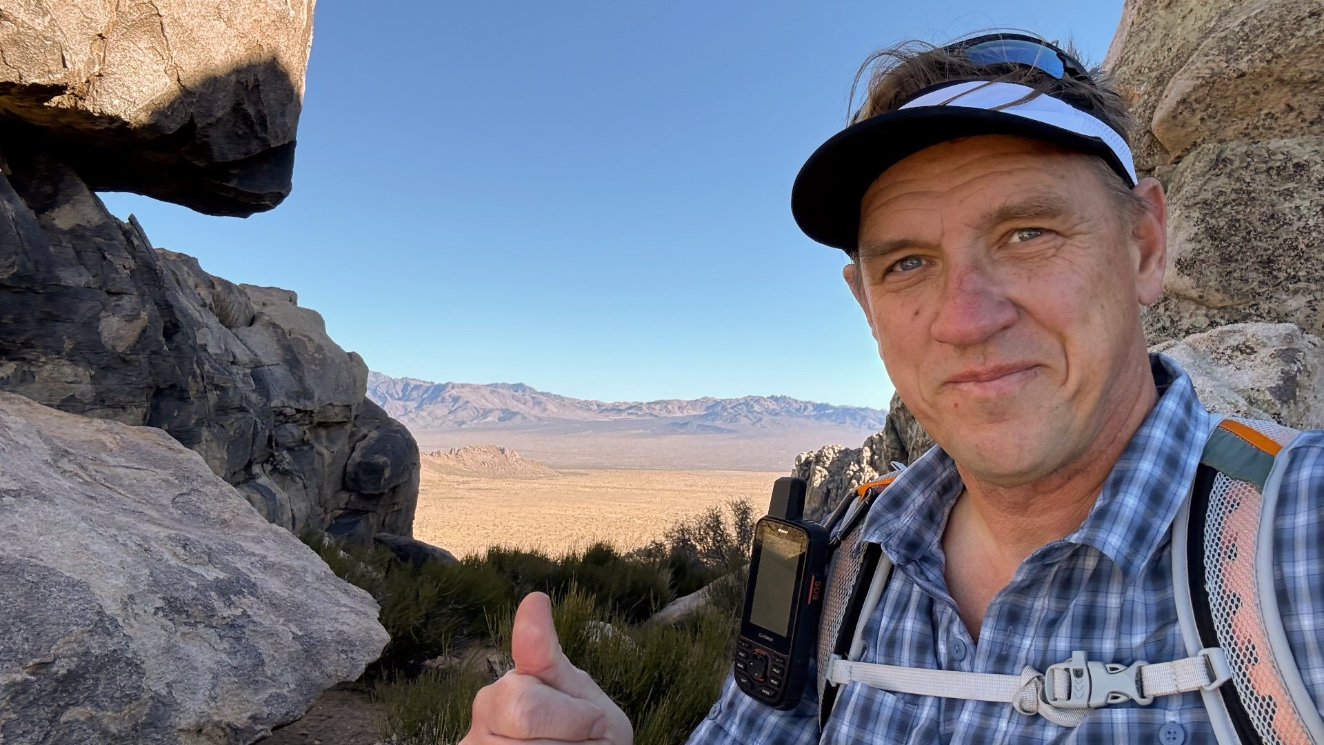
Teutonia Peak Hike Directions
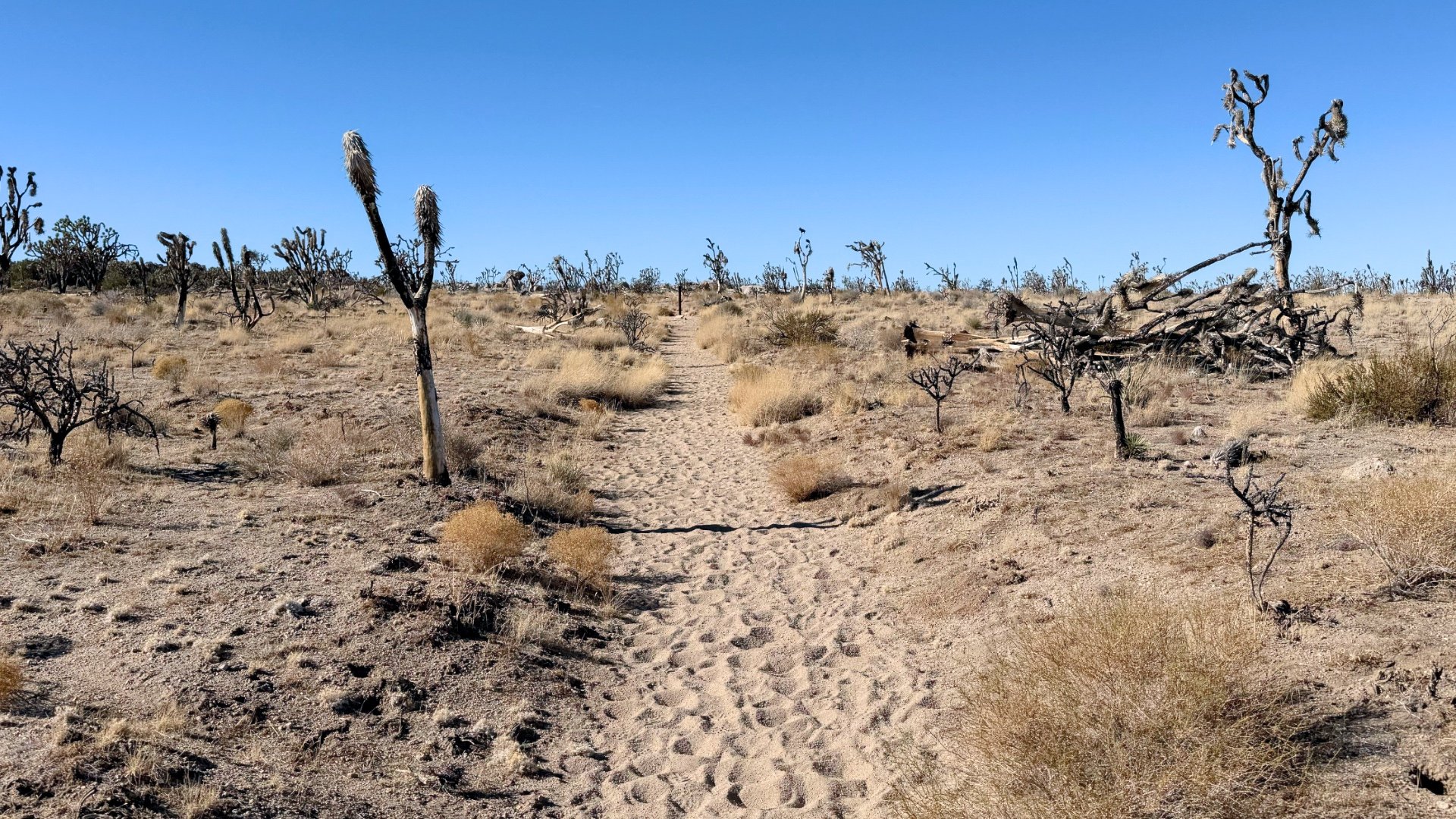
The Dome Fire, ignited by lightning on August 15, 2020, burned over 43,000 acres here, killing approximately 1.3 million Joshua Trees. The fire's intensity led to the formation of its own weather phenomena, including fire whirls ("firenadoes.") Before the fire, this area was considered the densest Joshua Tree forest in the world. As you progress up the trail, you'll encounter areas that offer glimpses of the forest's former appearance. Here's what it looked like during the fire.
The road you just crossed leads to the old Valley View Ranch. In the 1890s some cattle ranches here had over 10,000 head of cattle. While the big ranches are now gone, there are still some smaller ranches operating in Mojave National Preserve.
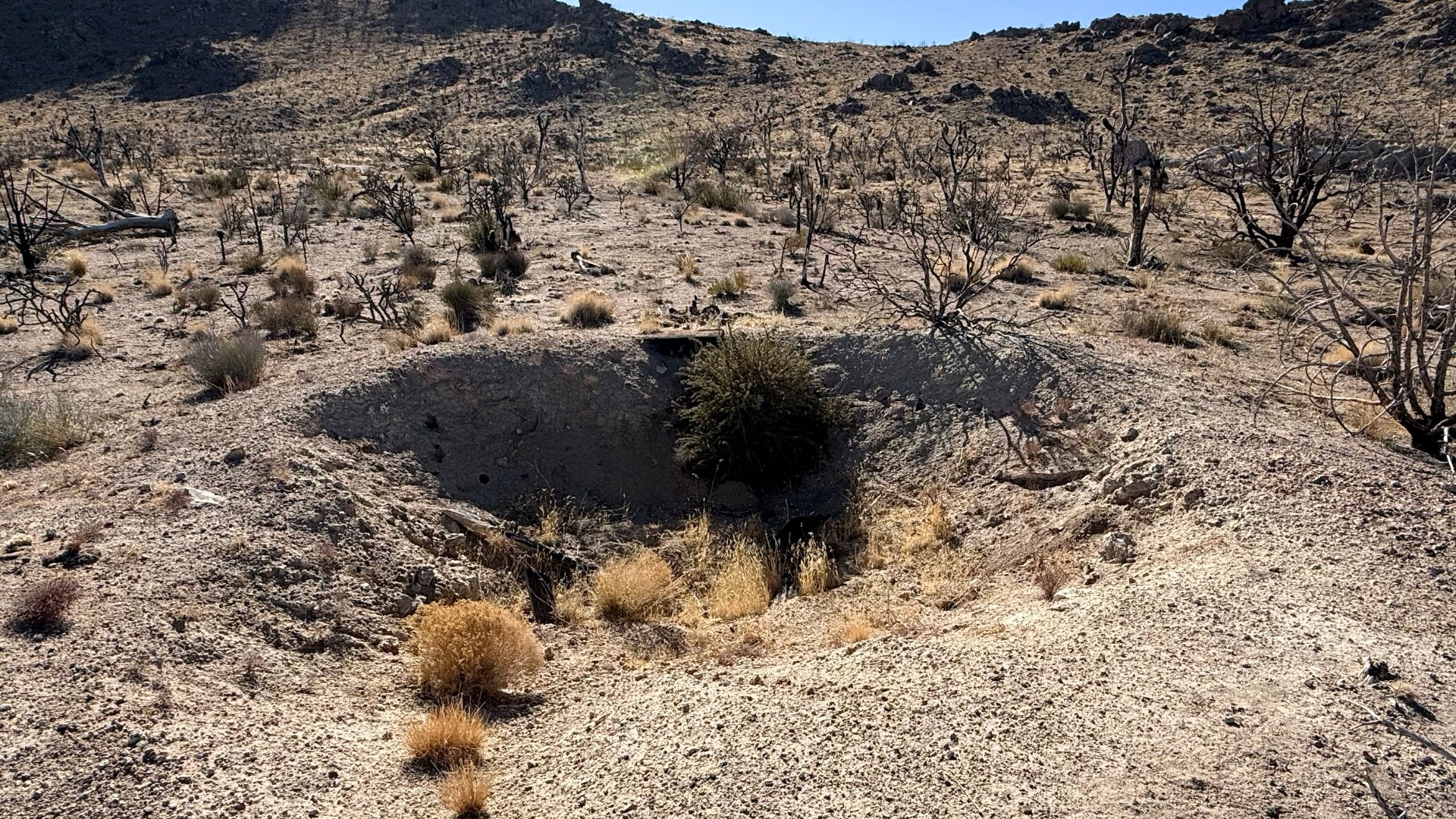
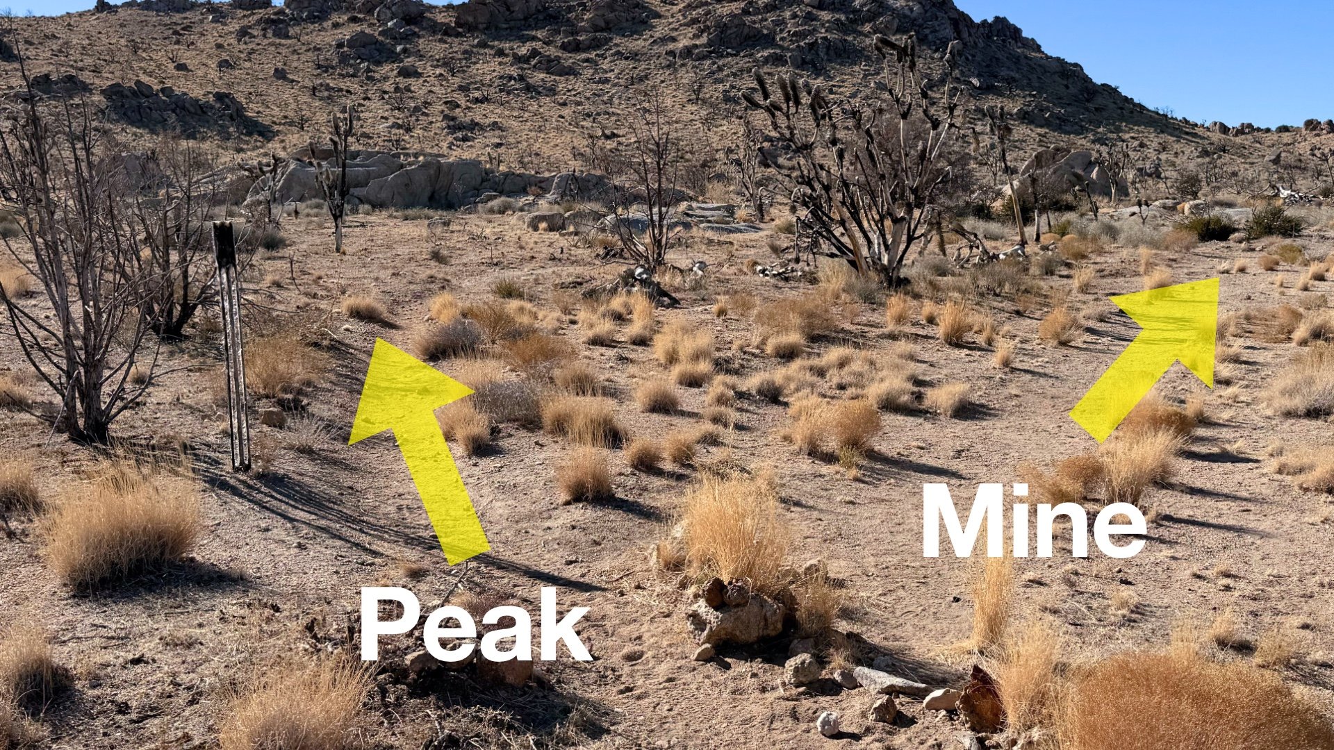
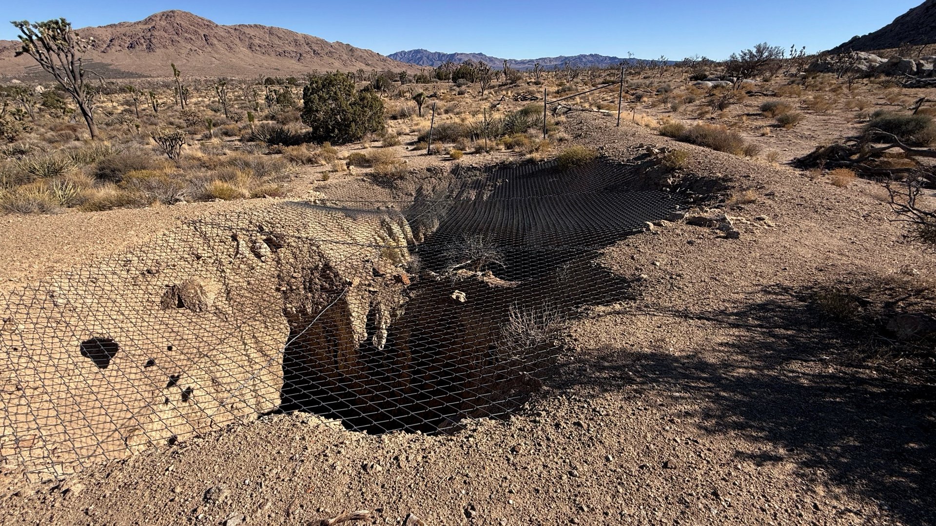
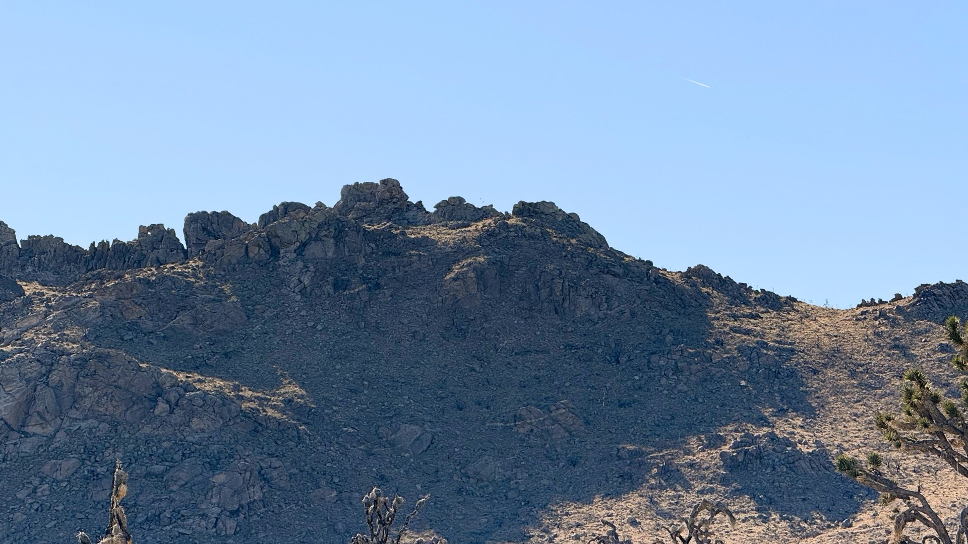
From 1906 to 1909 a small city had sprung up around the mine, complete with houses, a general store, and a blacksmith. By 1920 it was all over and the mine was covered and filled with water.
The Cima Dome was once a huge, craggy volcanic dome. Over the years the desert winds have worn it down to this smooth and symmetrical dome, covering about 70 square miles. Today it sits on the north edge of the Cinder Cones National Natural Landmark.
Ivanpah is a Native American word meaning "clear water." "Pah" translates to "water" in Paiute and related languages. This linguistic clue can help decode place names in the region; for example, "Pahrump" and "Tonopah" both contain "pah," indicating the presence of water sources.
Teutonia Peak was named after the Teutonia Mine that we visited earlier. "Teuton" is a broad term referring to Germans; the mine was started by Charles Togel, a native of Germany.
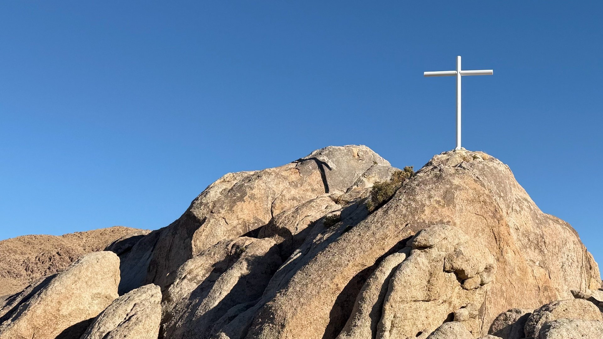
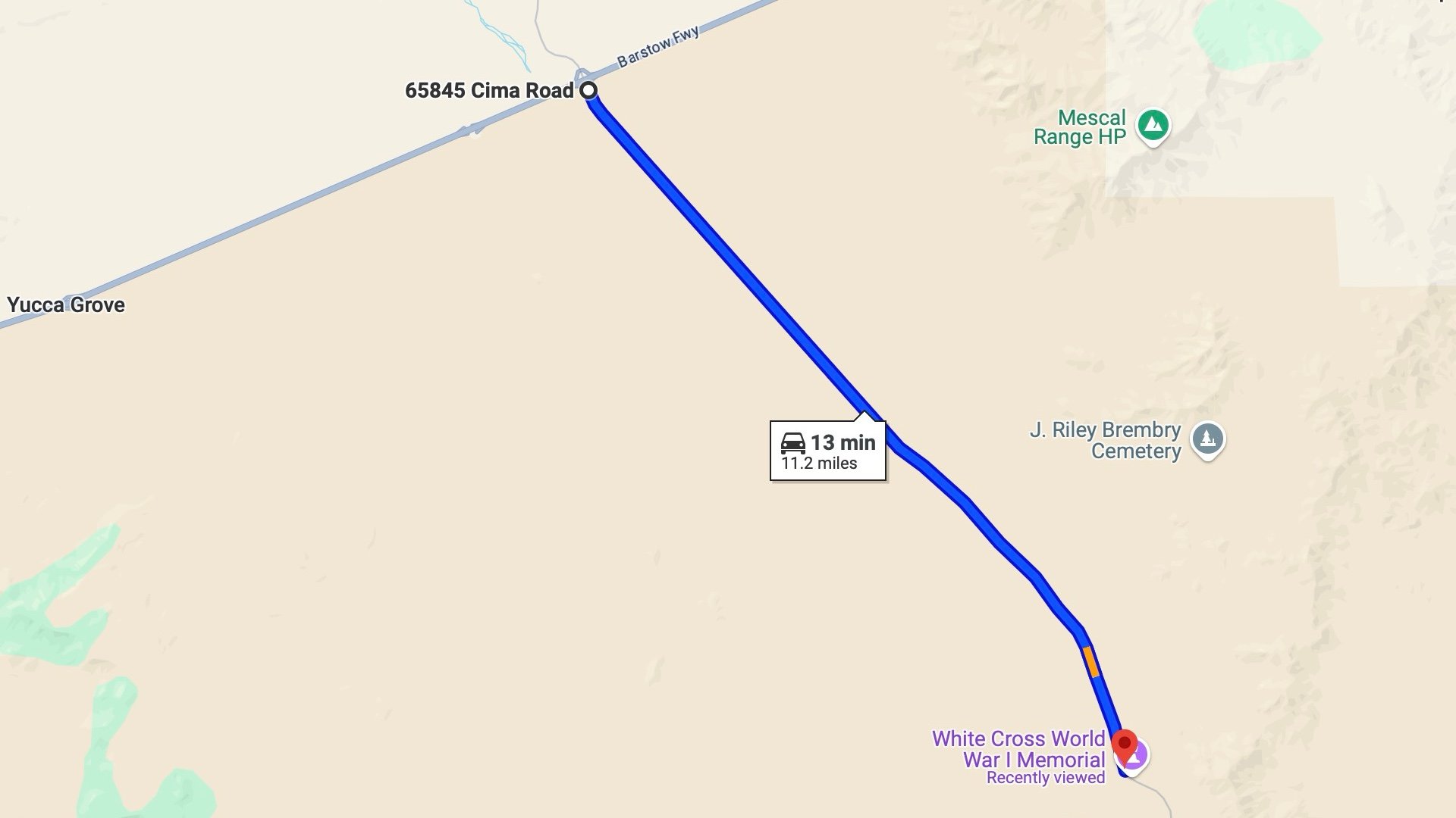
Mojave Memorial Cross Side Trip
Having come this far, I recommend carving out another 15–30 minutes for a side trip to the Mojave Memorial Cross, which was at the center of a church-versus-state battle in the U.S.
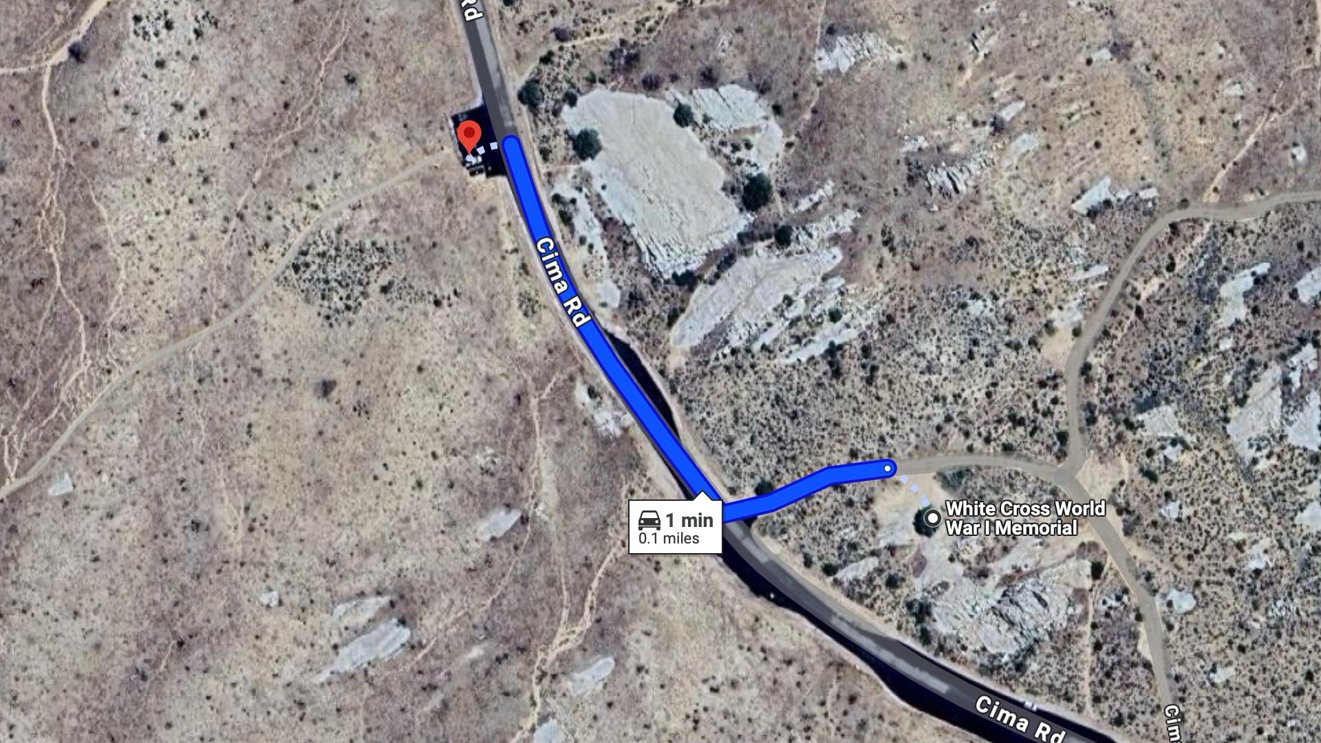
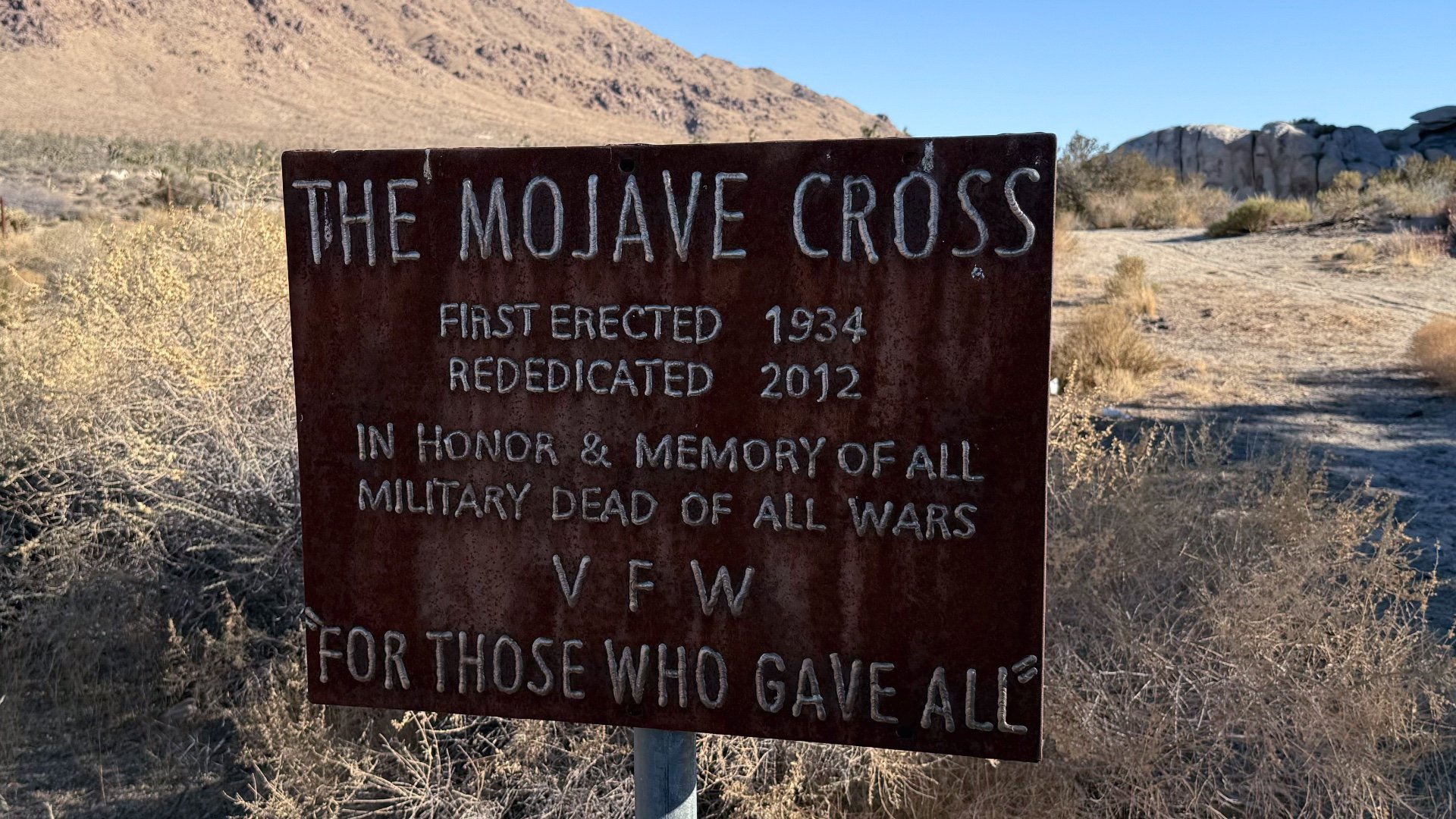
Before this became Mojave National Preserve, a Veterans of Foreign Wars foundation decided this would be a peaceful place to heal and reflect, and the first memorial cross was erected in 1934. In 1999, after the Preserve was established, the NPS received a request for another religion's memorial nearby, which it turned down. Seeing this could be a can of worms, the NPS decided it didn’t want the hassle and opted to remove the cross to try and end the discussion.
But it backfired. A lawsuit to save the cross ensued, along with laws to protect it and a series of court cases, including one at the U.S. Supreme Court. Ultimately, the land ownership was transferred to a veterans' group, making it private and therefore allowed.
Then it gets more interesting. Shortly after the ruling, someone cut the cross down and stole it. A $25,000 reward was offered to help find it. The stolen cross was found a few years later, 500 miles away, in Half Moon Bay. The cross you see today is simply one of the replacements but up over the years.