Mount Minsi Trail Guide
Hike Stats
- Total Distance
- 4.8 miles
- Time
- 2-3 Hours
- Total Climbing
- 1080 feet
- Difficulty
- Moderate
- Crowds
- Crowded
- Dogs
- Leashed
- Gear
- What I Use
- Weather
- Latest Report
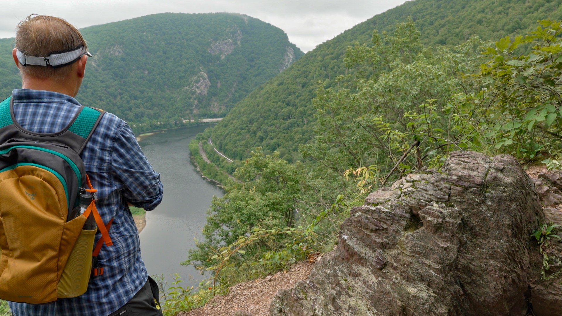
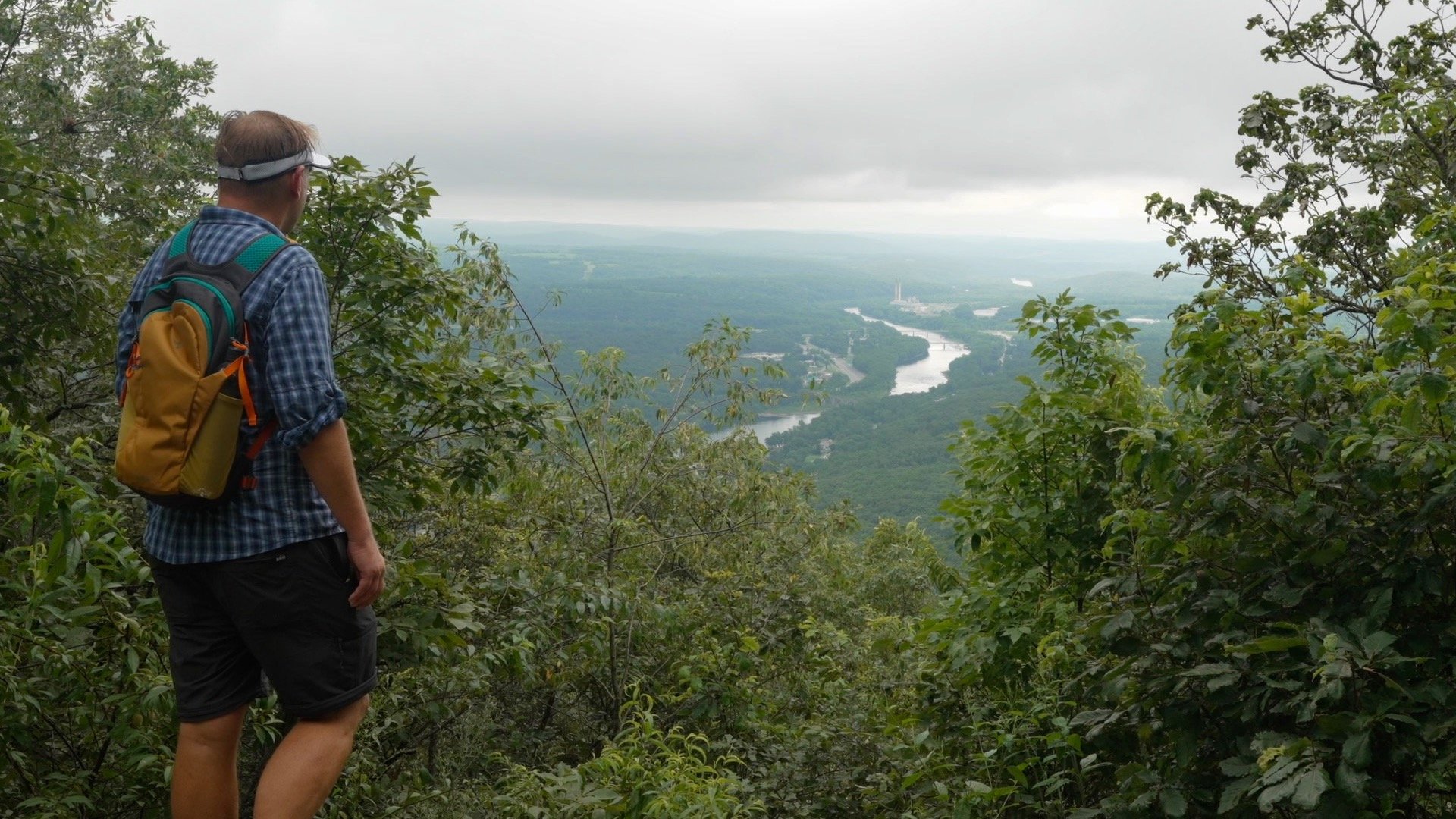
The Mount Minsi Trail is a classic Delaware Water Gap hike with multiple jaw-dropping views of the river, a stretch on the iconic Appalachian Trail, and even the remains of an old fire tower. In this guide, I’ll show you how to hike Mount Minsi the easy way; you just bring the leg power.
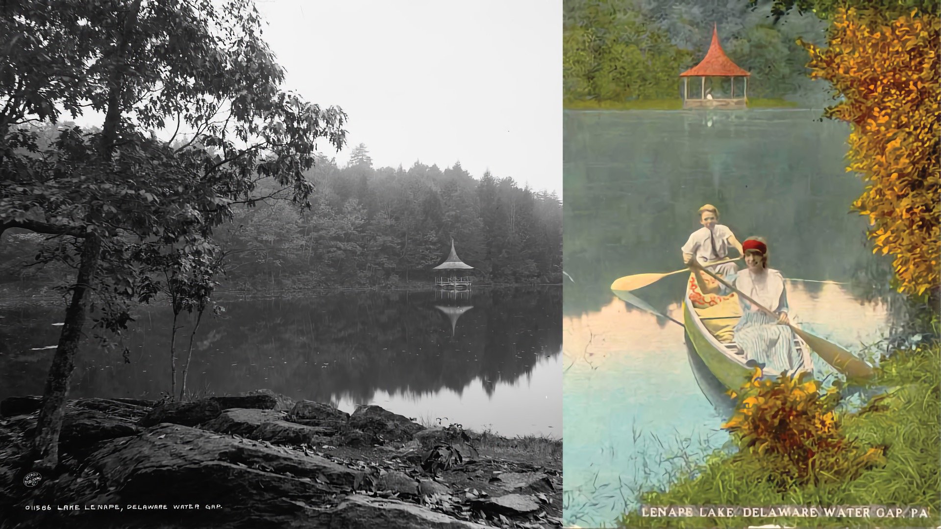
Why is it called “Minsi”? The name comes from an alternate spelling of “Munsee,” one of the bands of the Lenni Lenape people who originally lived in this region.
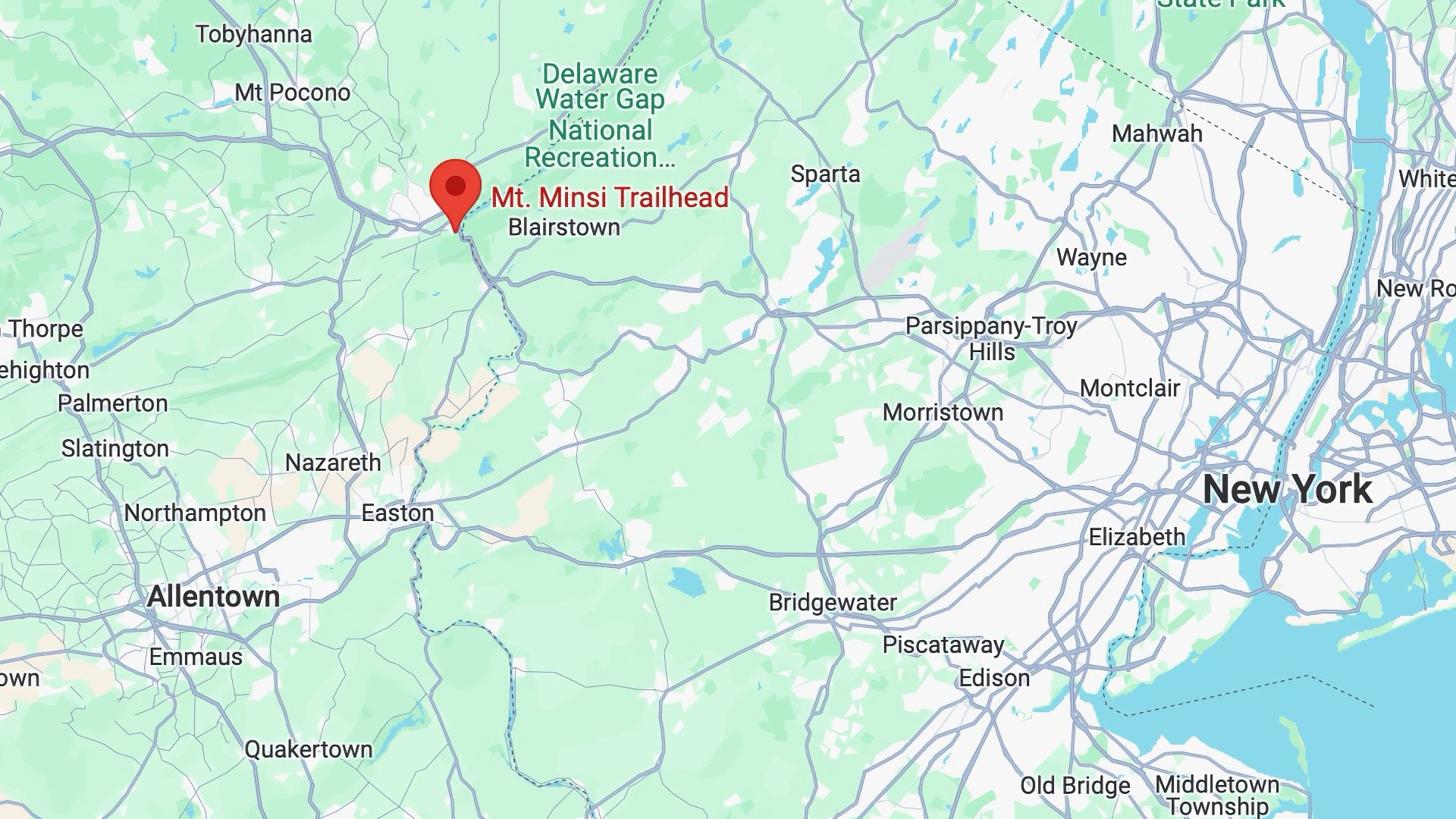
Where is Mount Minsi?

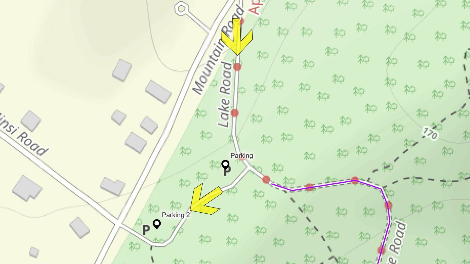
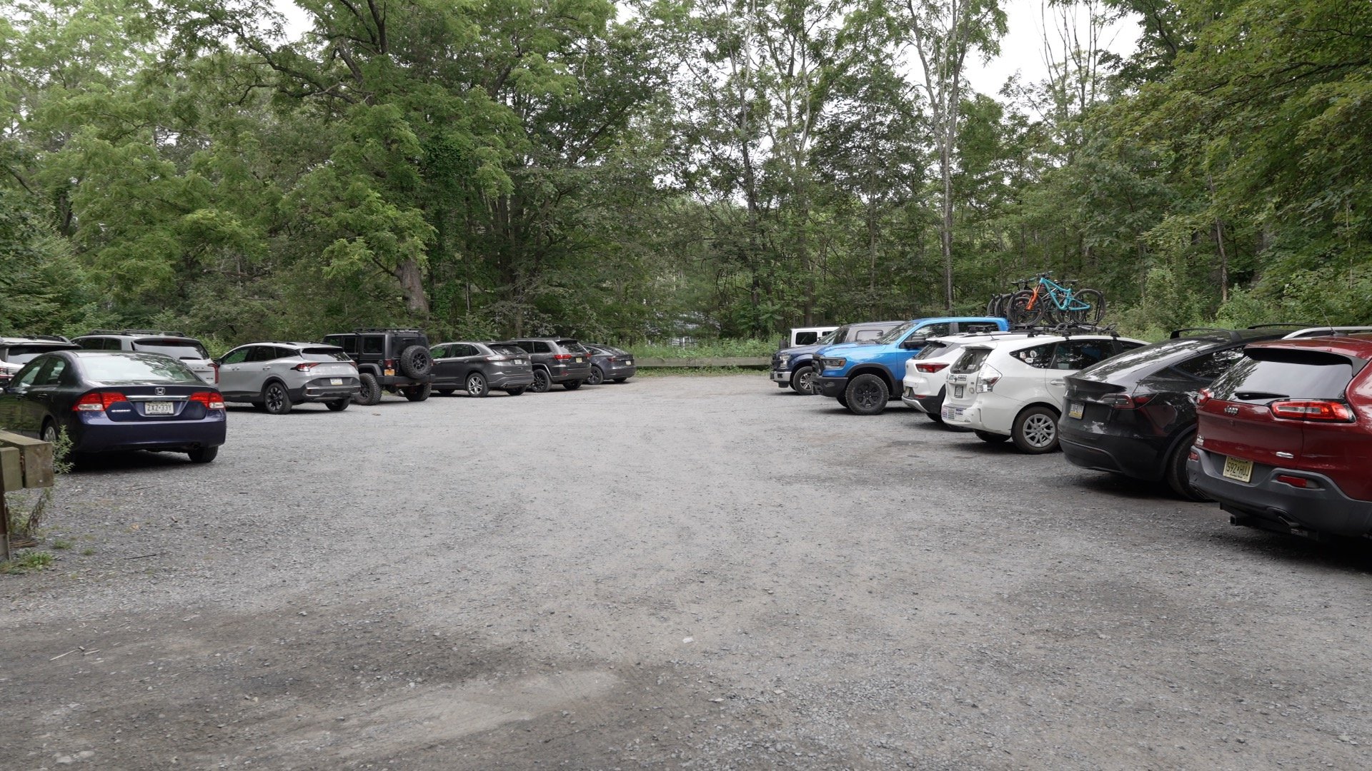
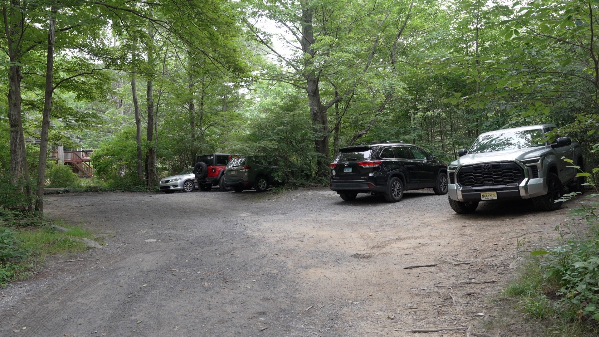
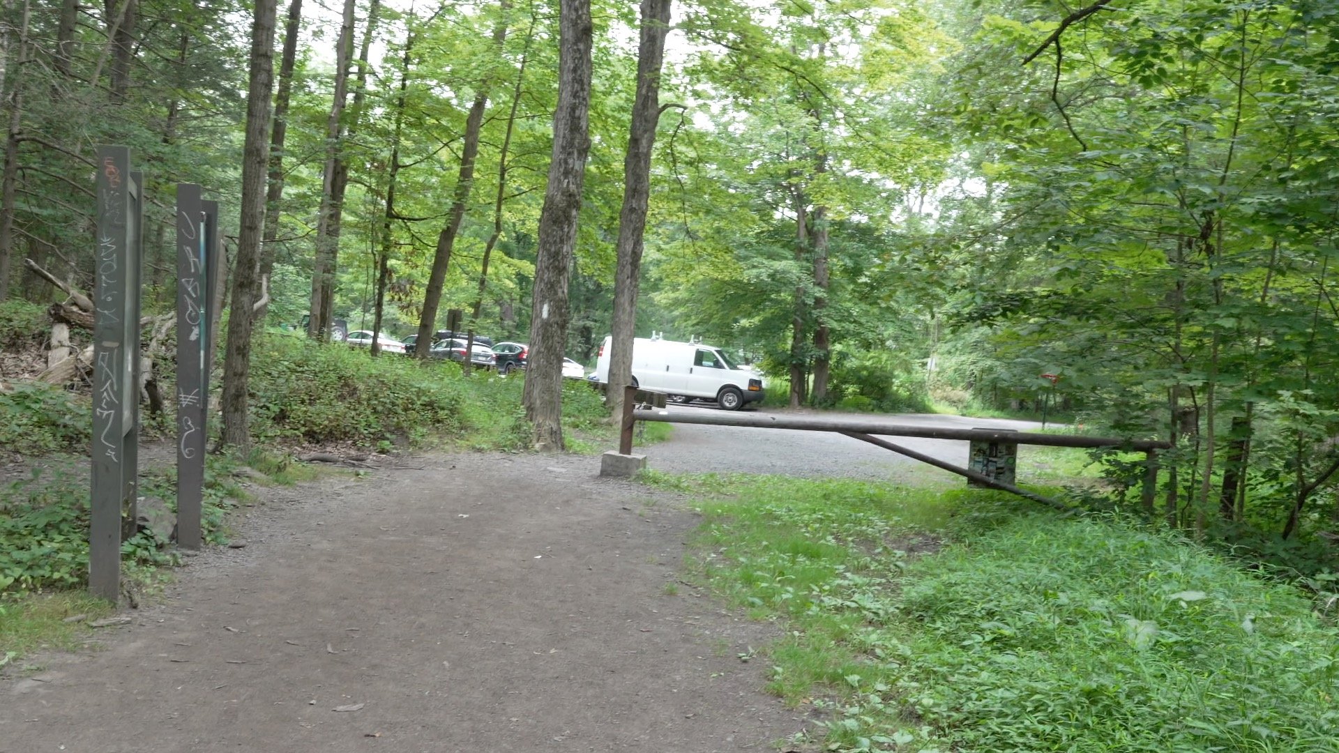
There are no bathrooms at the trailhead. Go before you get here.

Best Time to Do the Hike
Generally, you can hike Mount Minsi year-round, with the most popular times being summer and fall when the leaves change color. In winter, this normally straightforward hike can become much more challenging. If you don’t have winter hiking experience, it’s better to save this one for when you do. In good winter conditions, a few inches of snow can actually fill in the gaps between the rocks and make the hike easier. But when that snow melts into ice and slush, it can turn into a slow, frustrating slog that requires constant attention.
Gear Recommendations
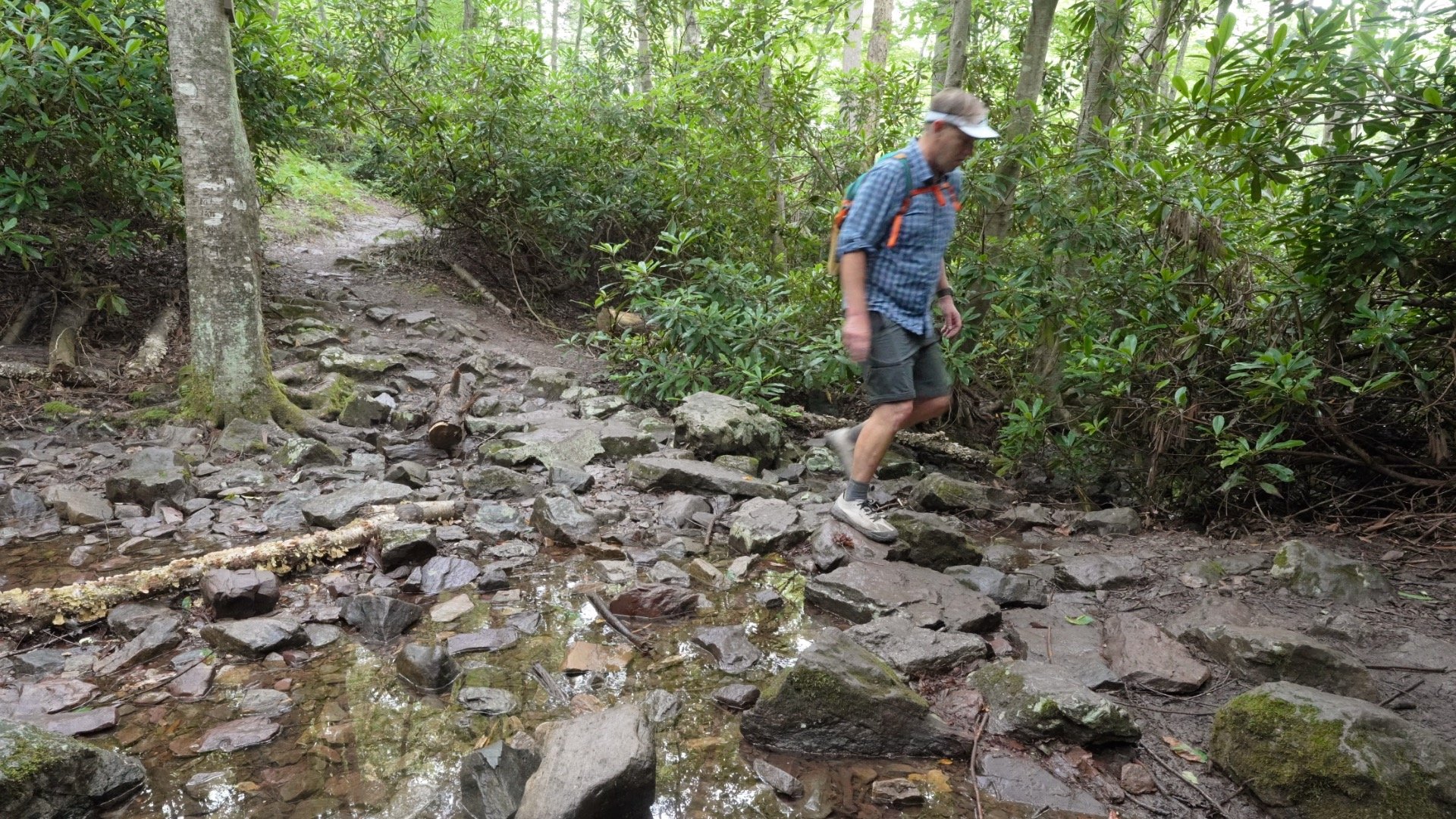
- You're best served by trail runners or sneakers with a good grip. The trail is rocky in spots but full hiking boots are overkill. Just look at the Appalachian Trail hikers, 99% of which are in trail runners.
- Ticks and bugs are a thing here. Wear insect repellent.
- Bring at least 1L of water. If you want to drink or refill from Eureka Creek or other water sources, the water needs to be filtered.
- Some people have an easier time hiking up the steep slopes with trekking poles, but they're not mandatory.
- If you're doing this in the winter, the rocky trail can also be icy. Bring micro-spikes and trekking poles if that's the case.
Essentials I’m Using Now
- Garmin inReach Mini 2: Reliable SOS Everywhere on Earth
- Sawyer + CNOC Water Filter: Easy & Reliable Safe Water
- Nitecore NU25 Headlamp: Running late? Get home safe
- Altra Olympus 275: Favorite trail shoes right now, no blisters and very comfy.
- AllTrails Plus (30% off): Offline maps on your phone with the Plus level
- Full November 2025 Gear List →
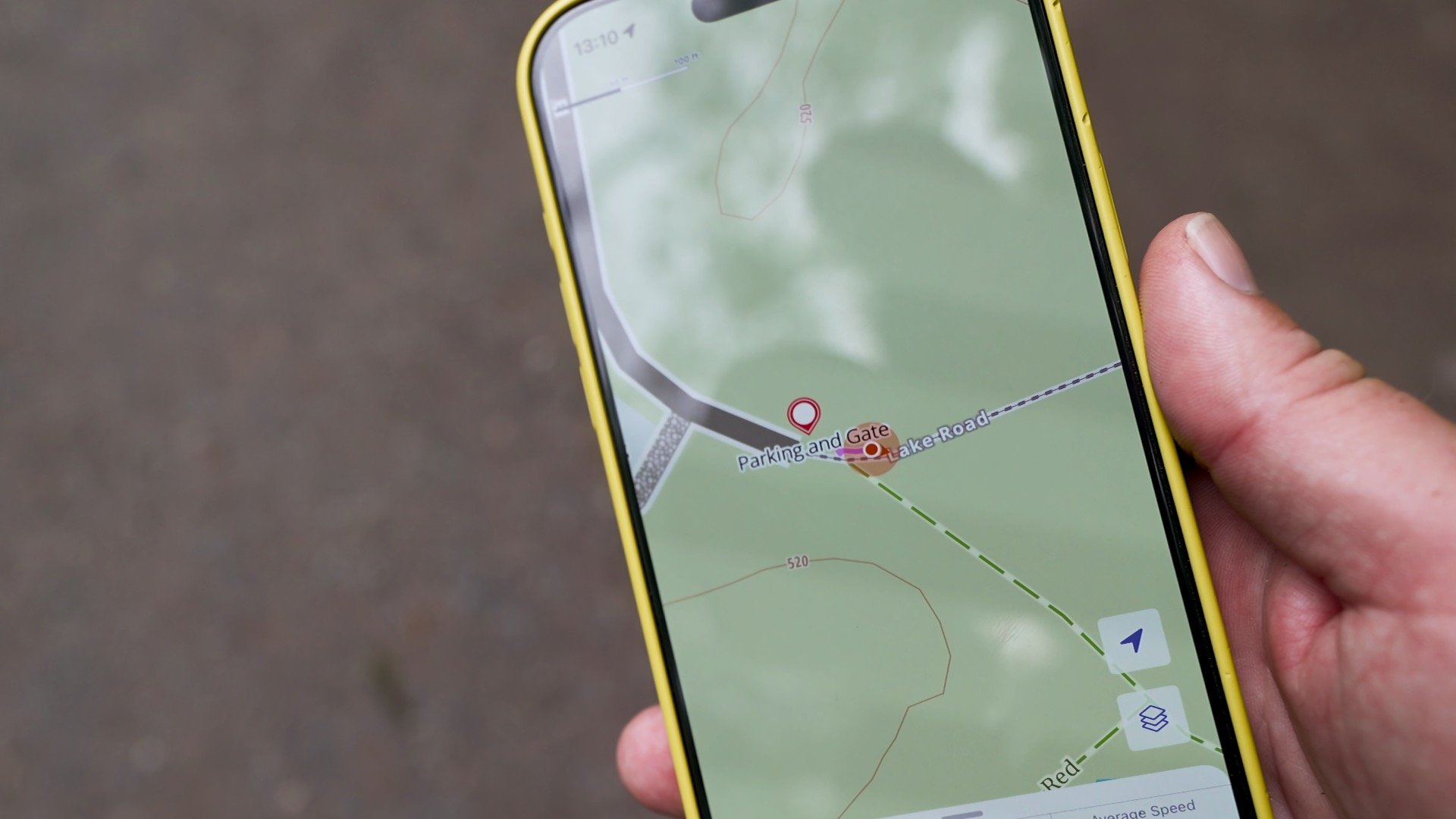
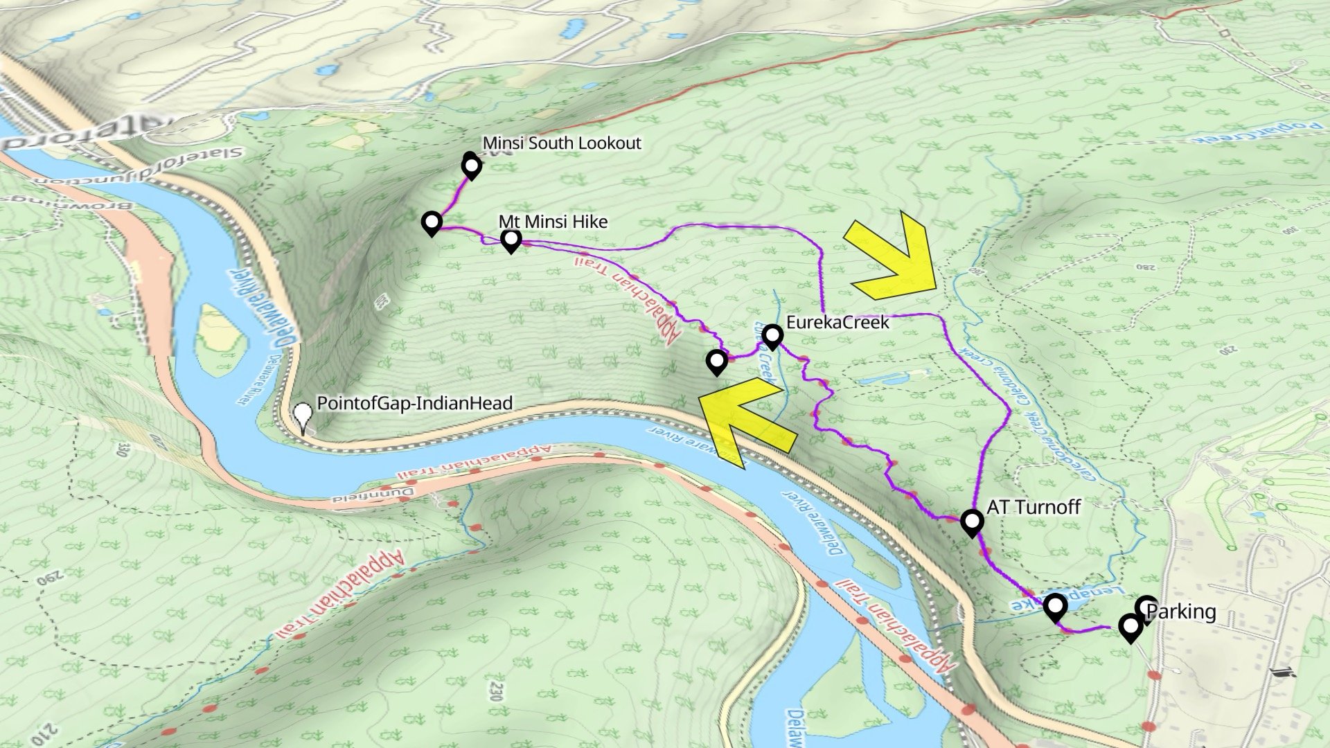
Mount Minsi Trail Maps

If you search trail guides you'll see a few different ways to hike Minsi. I recommend the route described in this guide.
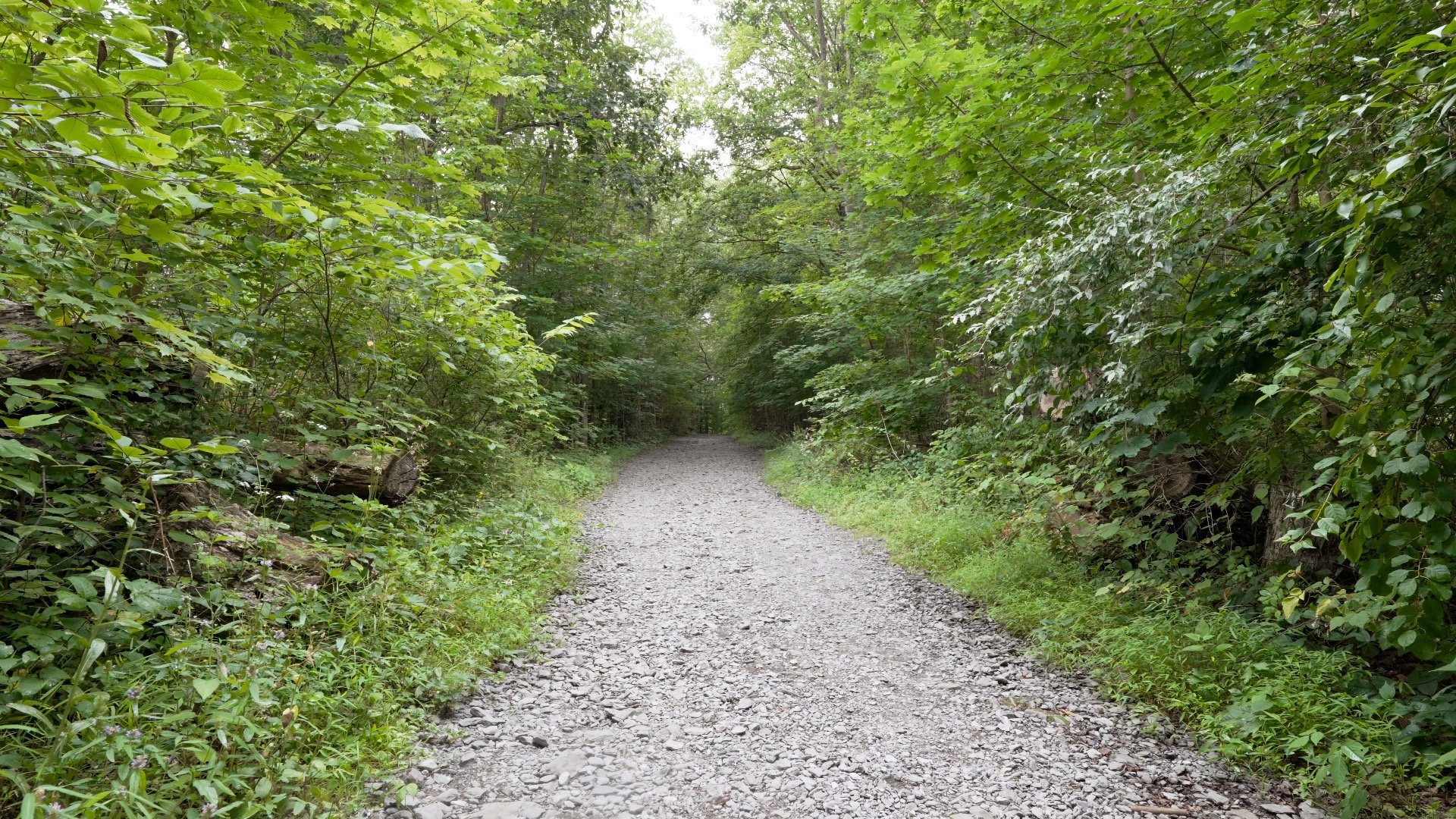
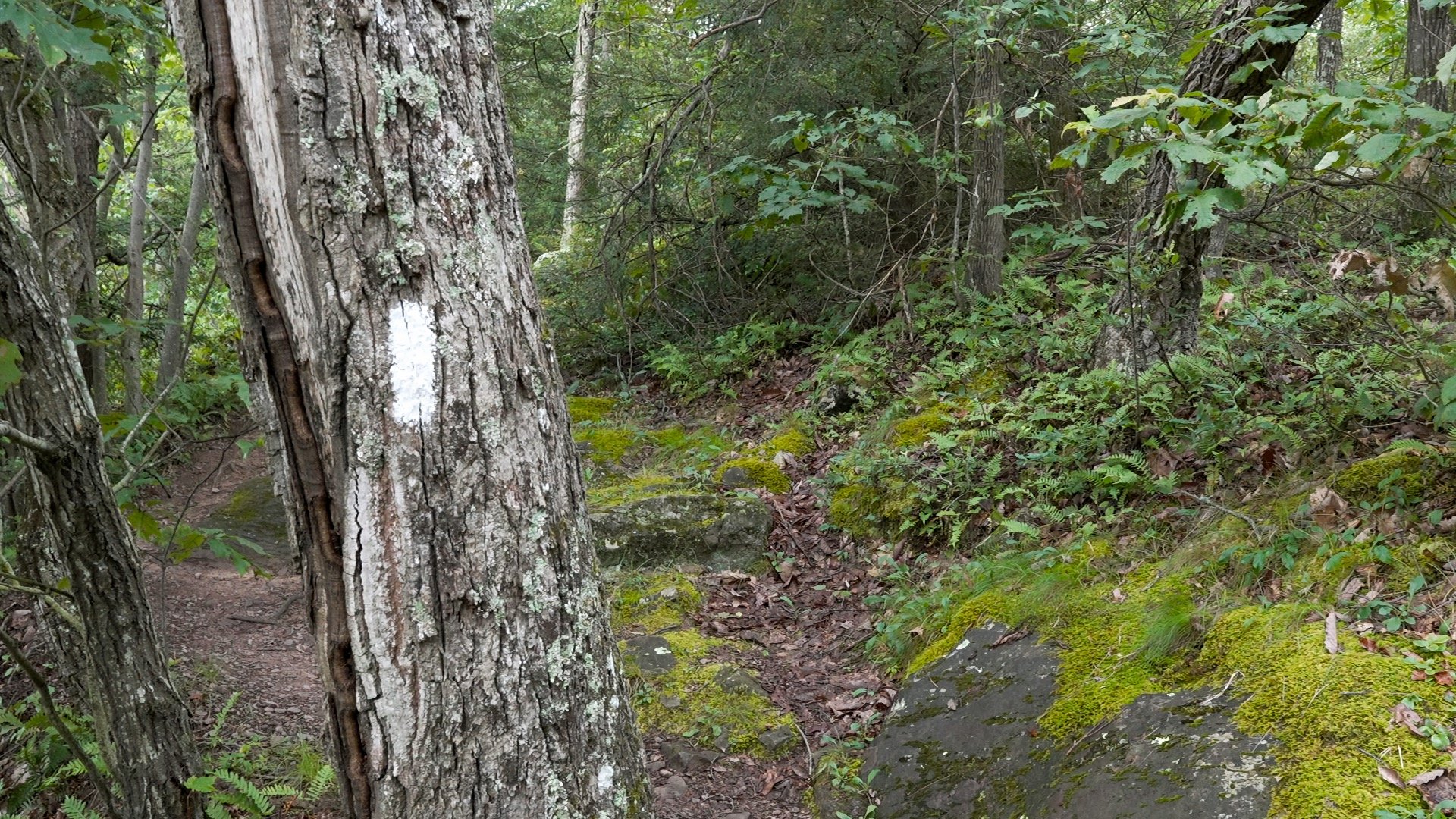
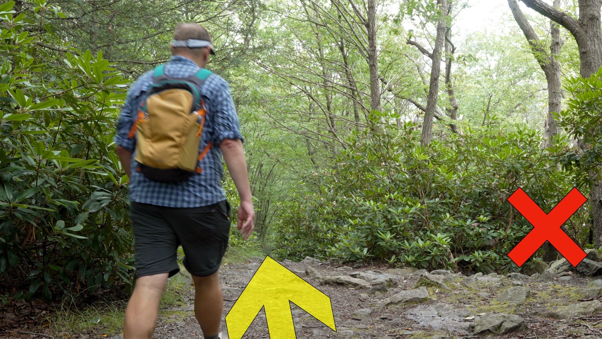
- We'll go up on the iconic Appalachian Trail. The trail is beautiful and there are viewpoints on the way up.
- We'll come back down on the Mt Minsi fire road. The descent is a bit longer but is gradual, easier on the knees, and peaceful.
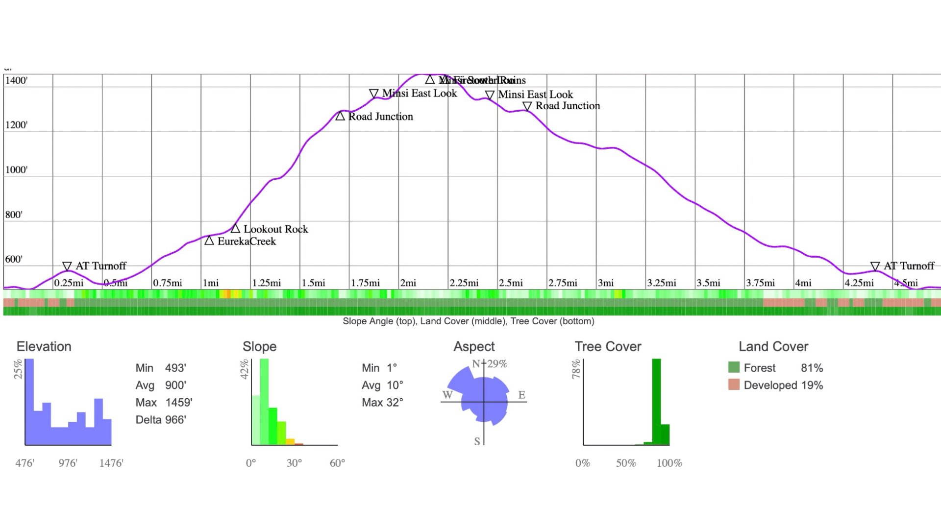
Elevation Profile
Mount Minsi Hike Directions

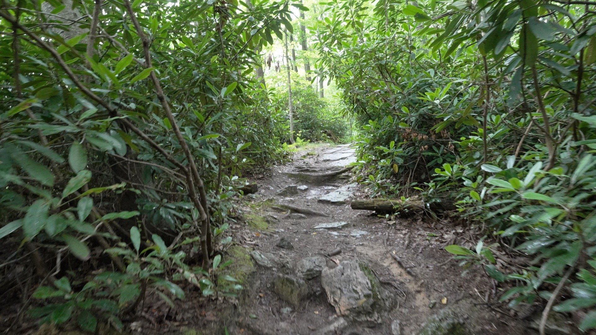
Did you know that rhododendrons are toxic? In humans eating them will get you anything from mild gas to severe nervous system issues.
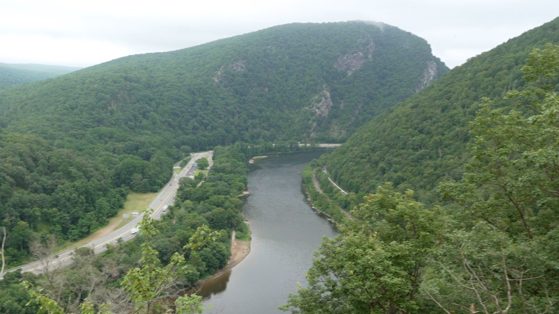
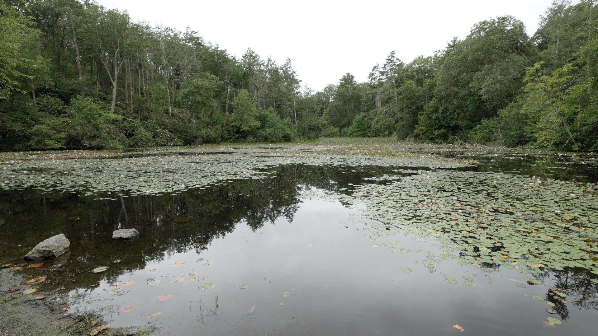
In the 1960s the plan was to dam the Delaware River just north of here.The Tocks Island Dam would have flooded the river valley, creating a lake 140 feet deep in places that would help control an overflowing river and provide water to New York and Philadelphia. The project was met with protest and eventually scrapped. The land acquired by the federal government became the Delaware Water Gap National Recreation Area.
28 out of the 2174 miles of the Appalachian Trail go through the Delaware Water Gap National Recreation Area. If you see backpackers going through, they might be on their journey between Georgia and Maine.
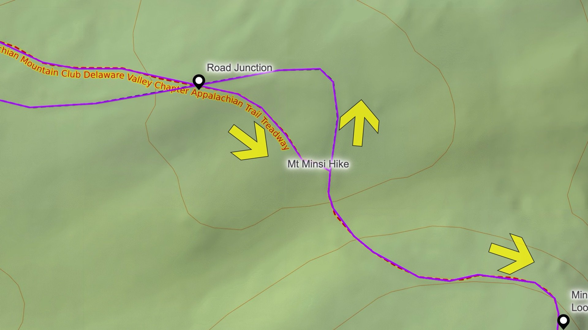

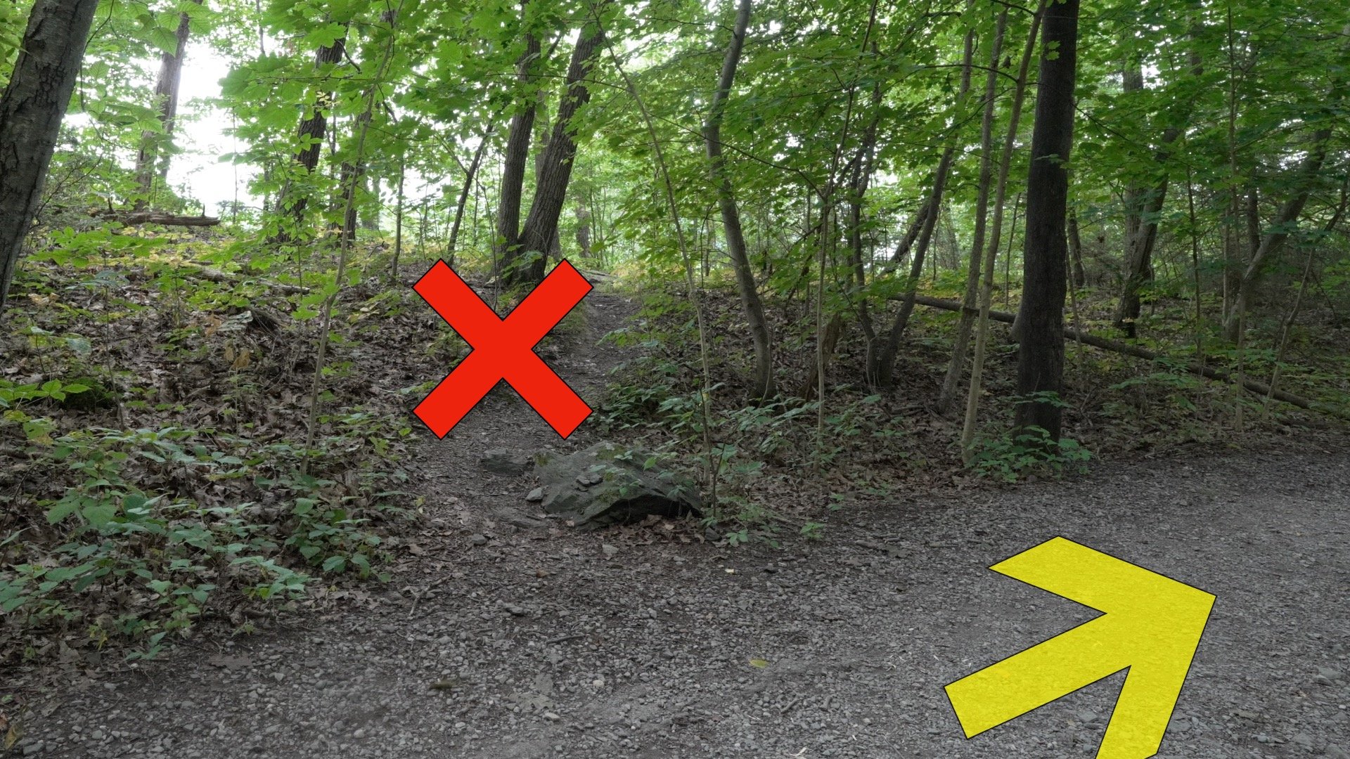
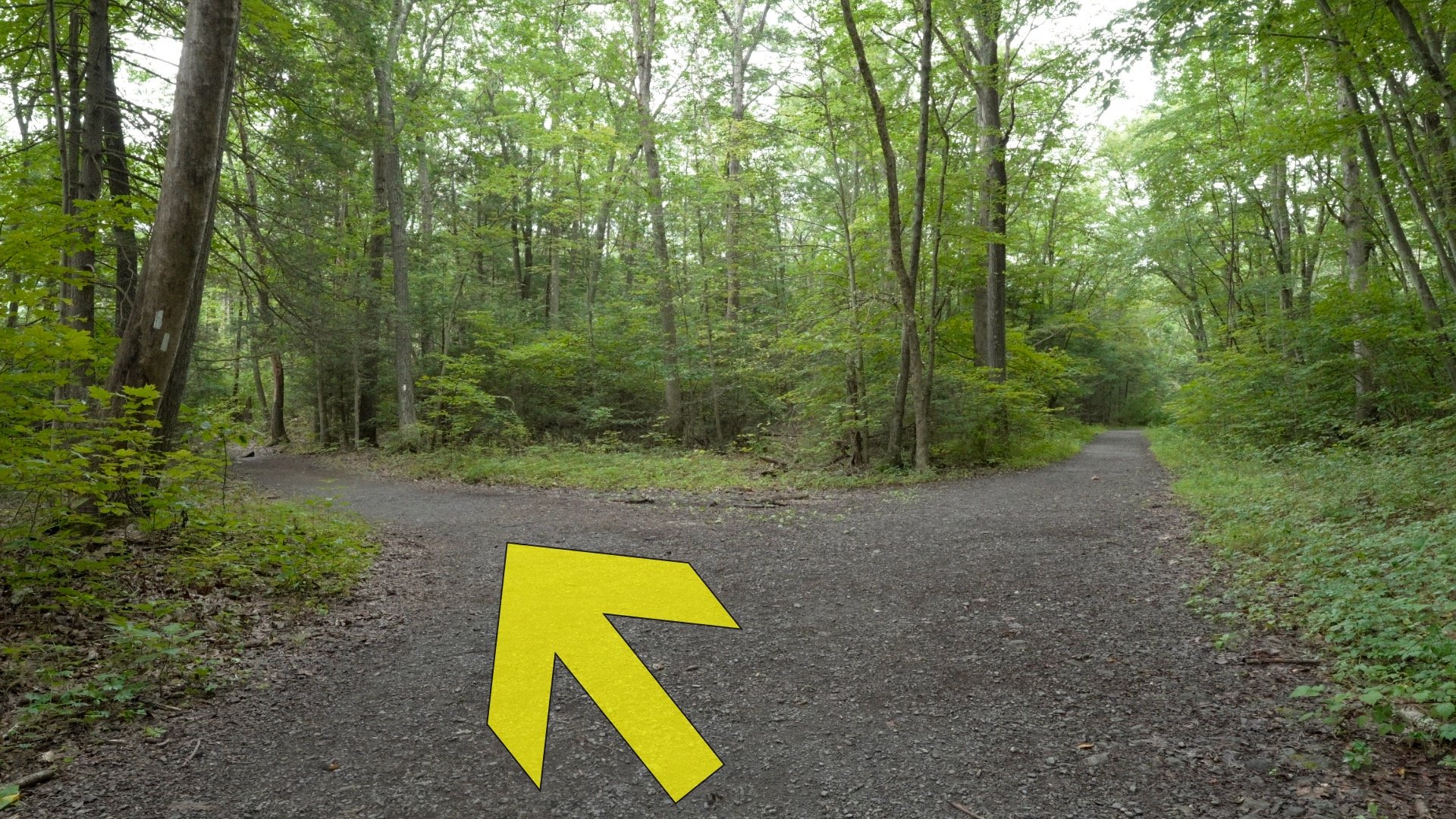
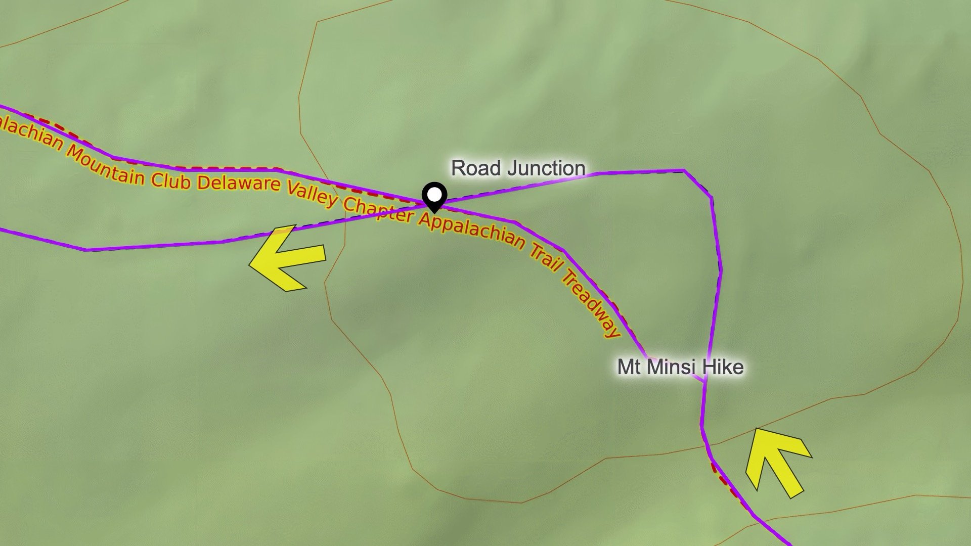
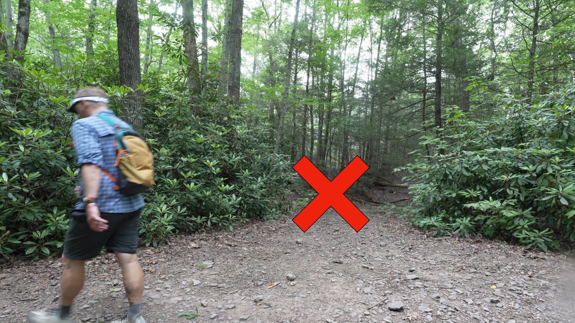
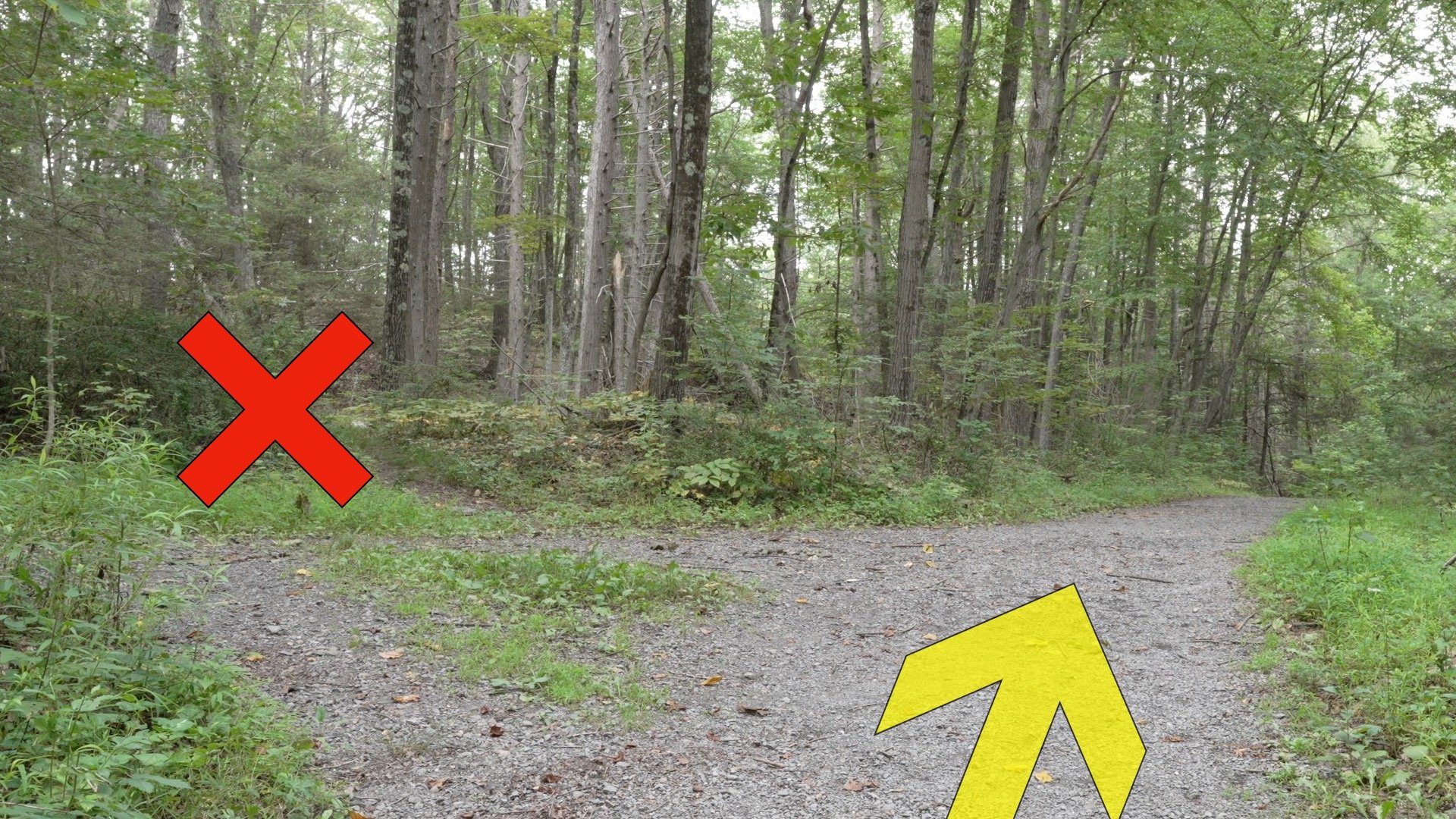
This section is a little tricky, but both routes will get you in the right place.

Around 100 years ago they built a steel tower here. It was used as a fire watch tower, radio tower, and airway beacon (a primitive series of lighted beacons used by airplanes before radar and radio). Today this is all that's left.

Originally published July 23, 2025