
Mt Mitchell Hike
Hike Stats
- Total Distance
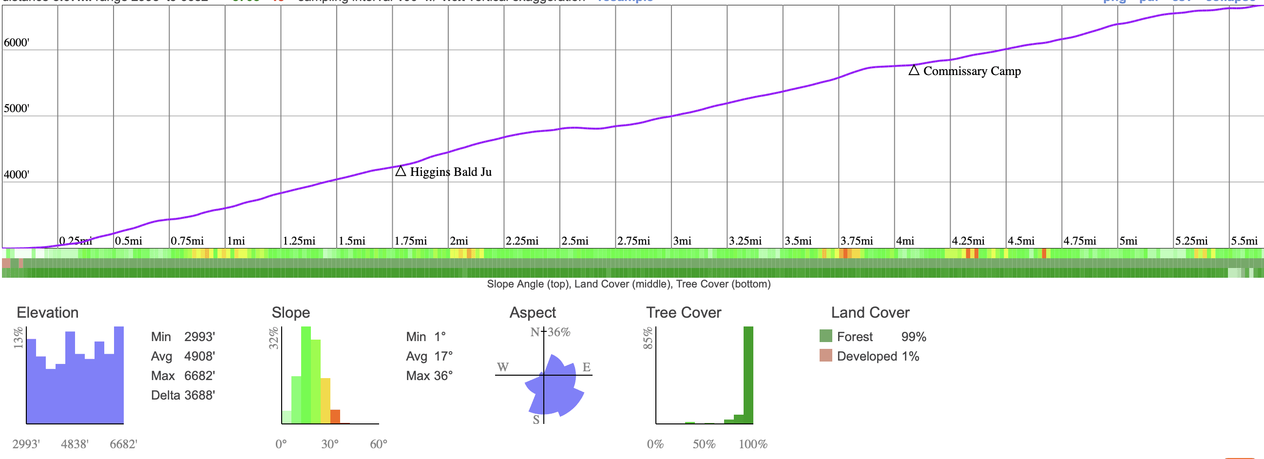
- 12 miles
- Time
- 5-7 Hours
- Total Climbing
- 3700 feet
- Difficulty
- Hard
- Crowds
- Moderate
- Dogs
- Leashed
- Gear
- What I Use
- Weather
- Latest Report
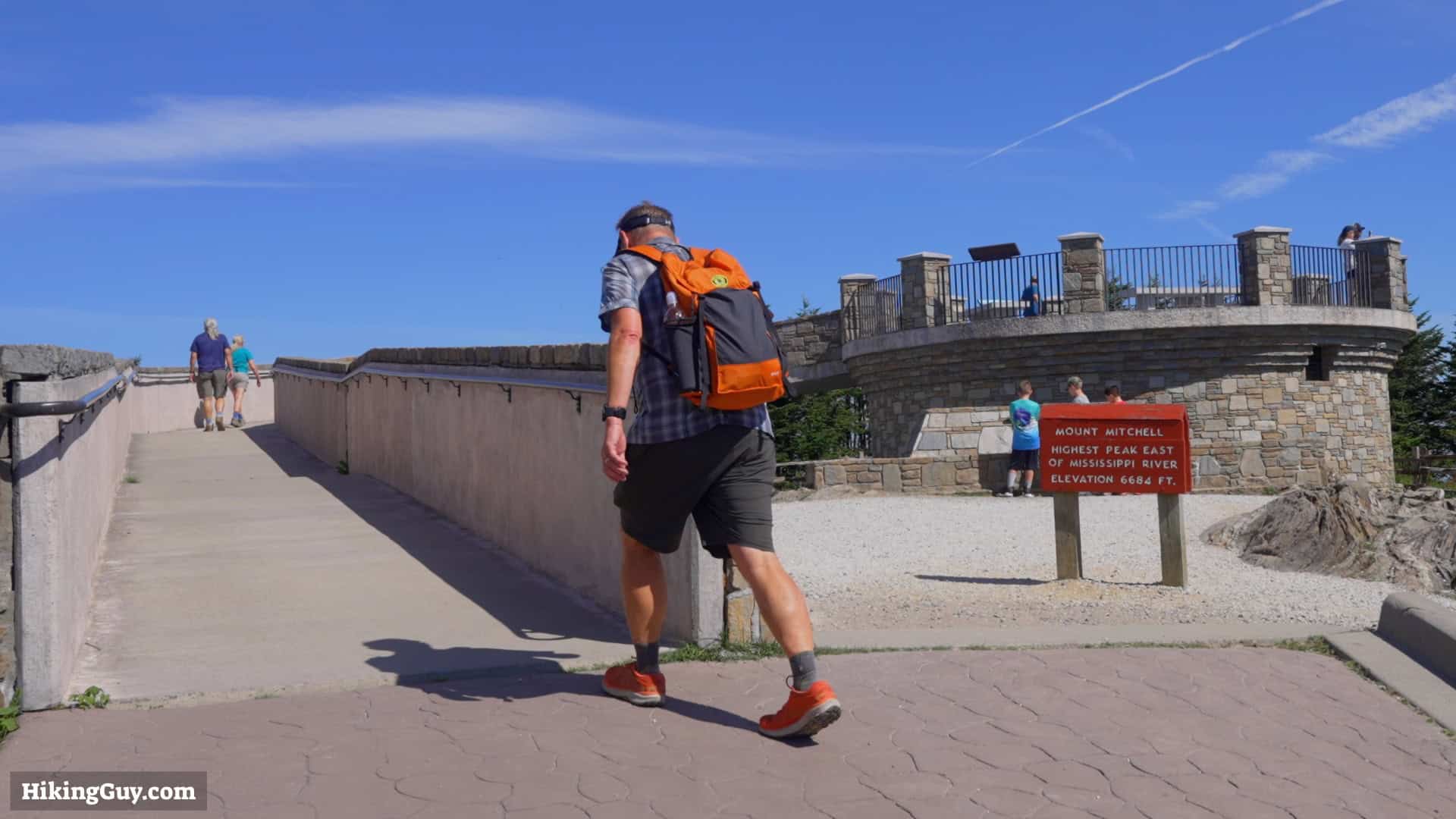
While you can drive to the highest peak east of the Mississippi, the Mt. Mitchell hike, with about 3,700 feet of climbing, is much more of an accomplishment. In this guide, I'll show you everything you need to know to conquer Mt. Mitchell on the trail.
Where is the Mt Mitchell Trail?
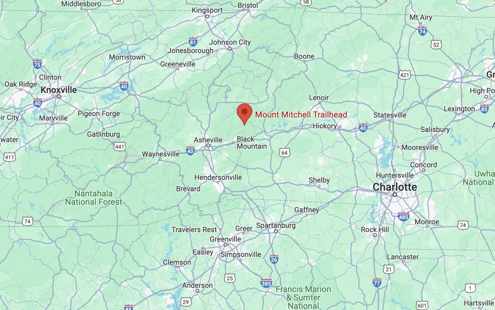
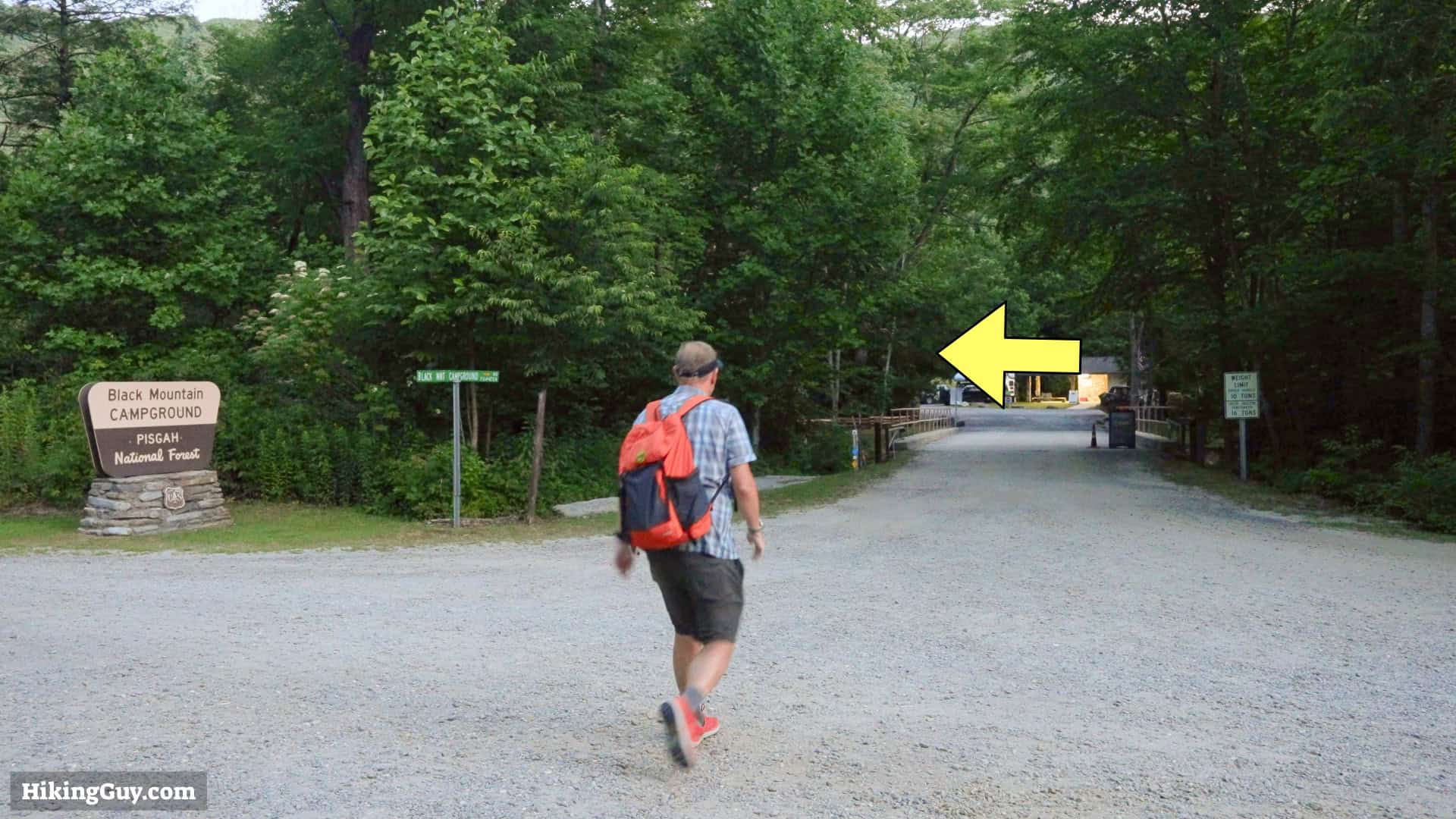
Use this trailhead address:
Black Mountain Campground, S Toe River Rd, Burnsville, NC 28714
- Parking is free.
- There is no water or bathroom in the parking lot.
- You need to cross the road and start the hike in the campground. The campground has water and bathrooms.


Gear Recommendations
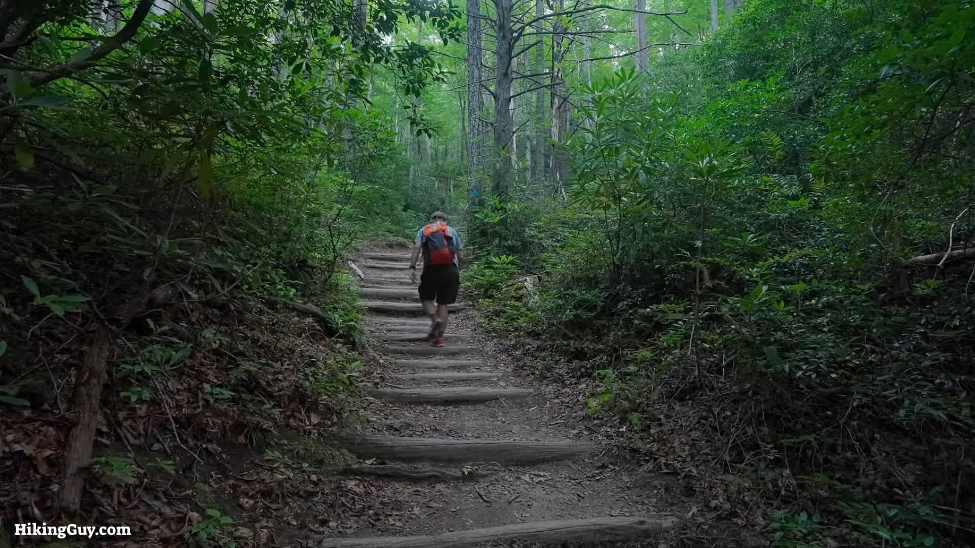
The Mt Mitchell Trail is a place of extremes. In the summer, it can be over 100F and humid, in the winter, there can be snow. It's important to check the mountain weather; the trail is often cooler and different than nearby Asheville.
- The trail has lots of rocks and roots. I find trail runners are best on this trail.
- If you like using trekking poles, bring them along, but they're not mandatory to tackle the hike.
- There's little to no cellular coverage. A satellite communicator is a good way to call for help if needed.
- When it's hot out, bring 1-2 liters of water for the climb. You can refill your bottle at the top by the snack bar. No filter needed for that water, but if you refill from a stream long the hike, you need to filter it.
Essentials I’m Using Now
- Garmin inReach Mini 2: Reliable SOS Everywhere on Earth
- Sawyer + CNOC Water Filter: Easy & Reliable Safe Water
- Nitecore NU25 Headlamp: Running late? Get home safe
- Altra Olympus 275: Favorite trail shoes right now, no blisters and very comfy.
- AllTrails Plus (30% off): Offline maps on your phone with the Plus level
- Full November 2025 Gear List →
Mt Mitchell Trail Maps
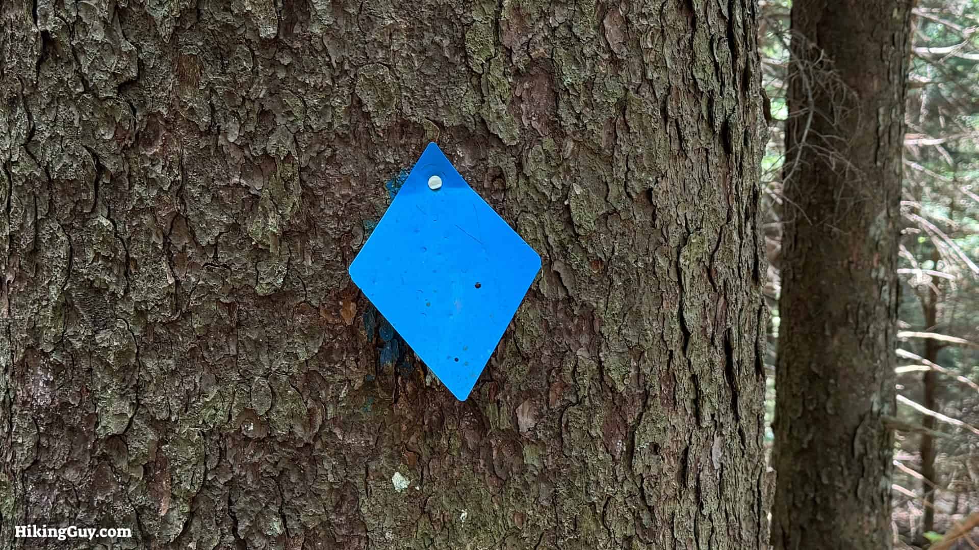
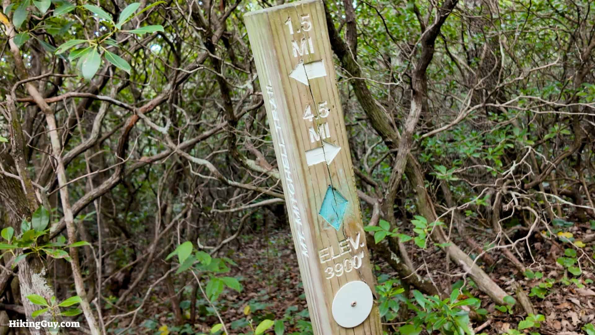
Click to activate map
Print Map, Work With It Yourself
Bring the Guide to Any GPS
Elevation Profile
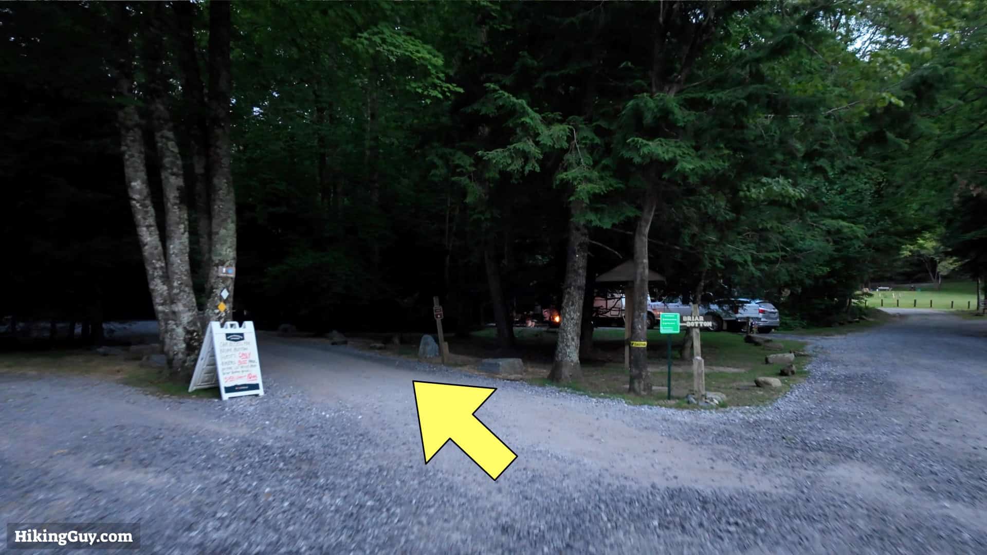
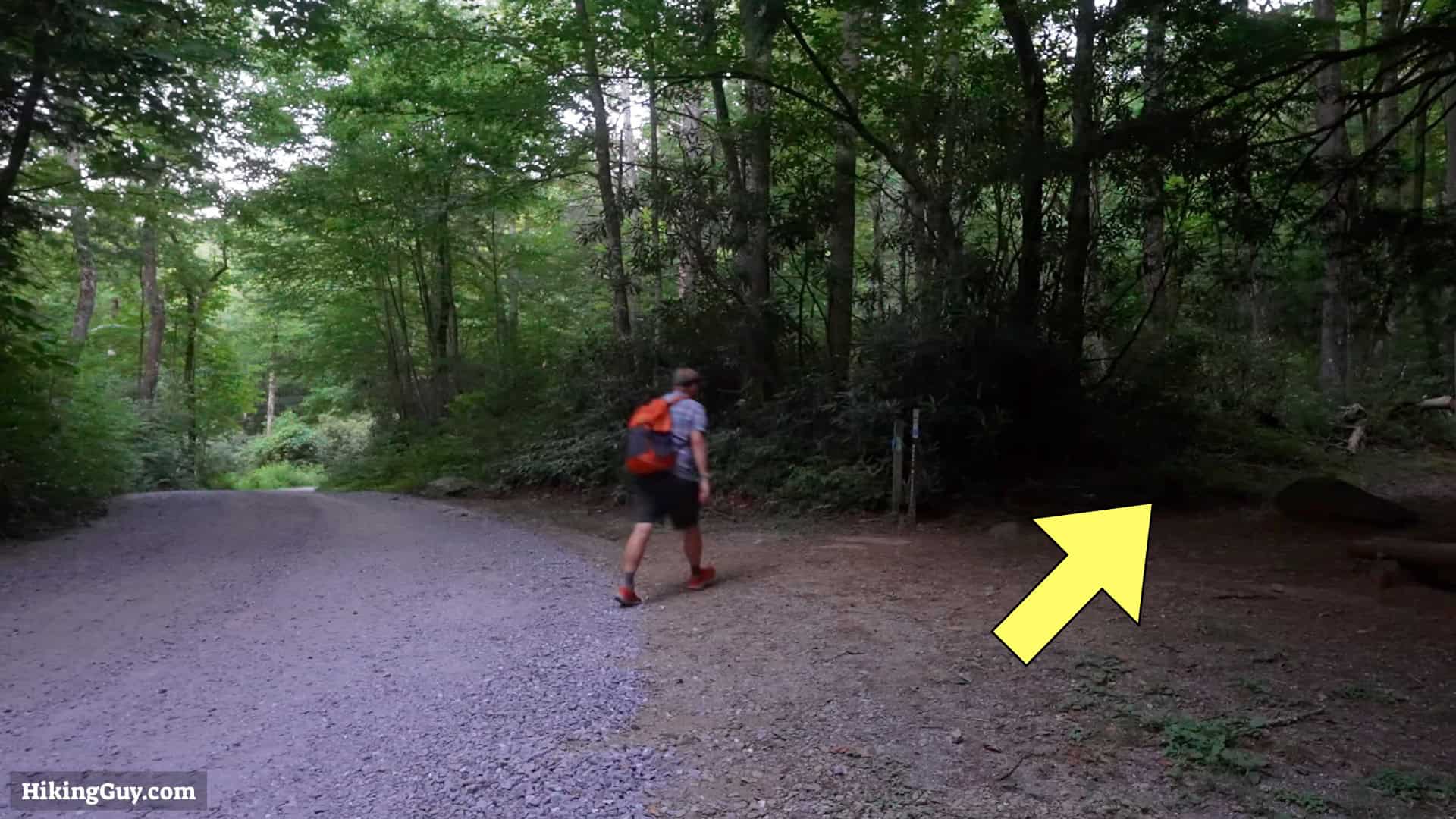
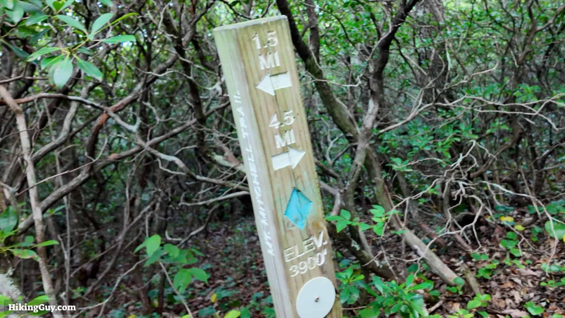
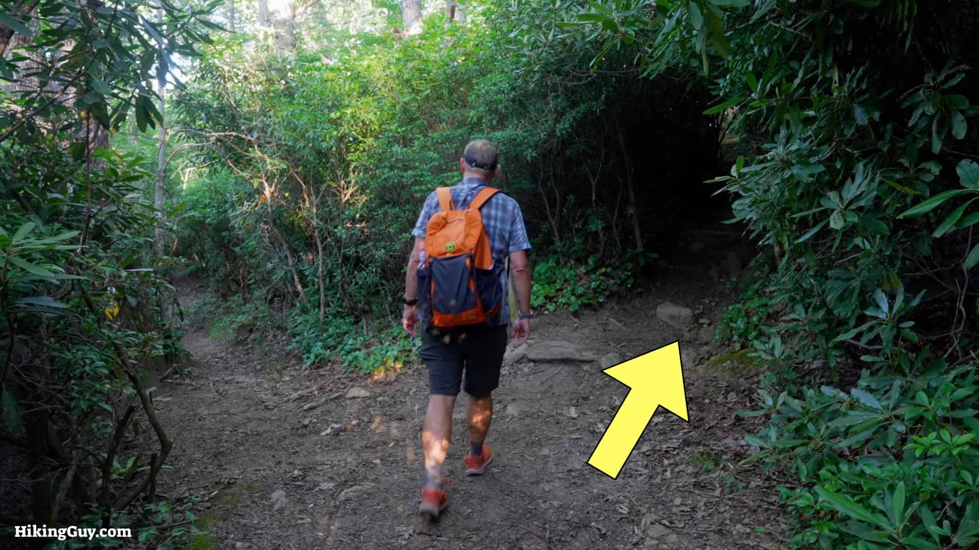
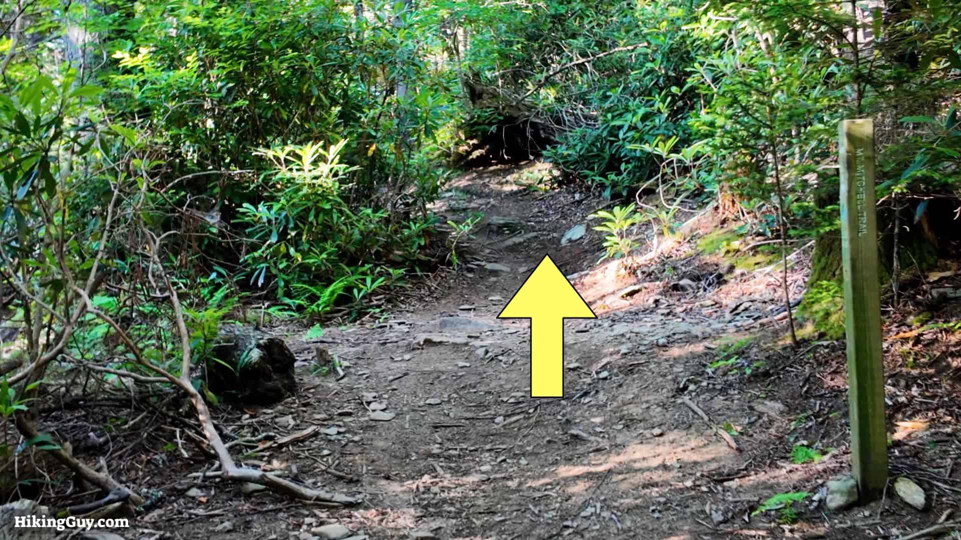
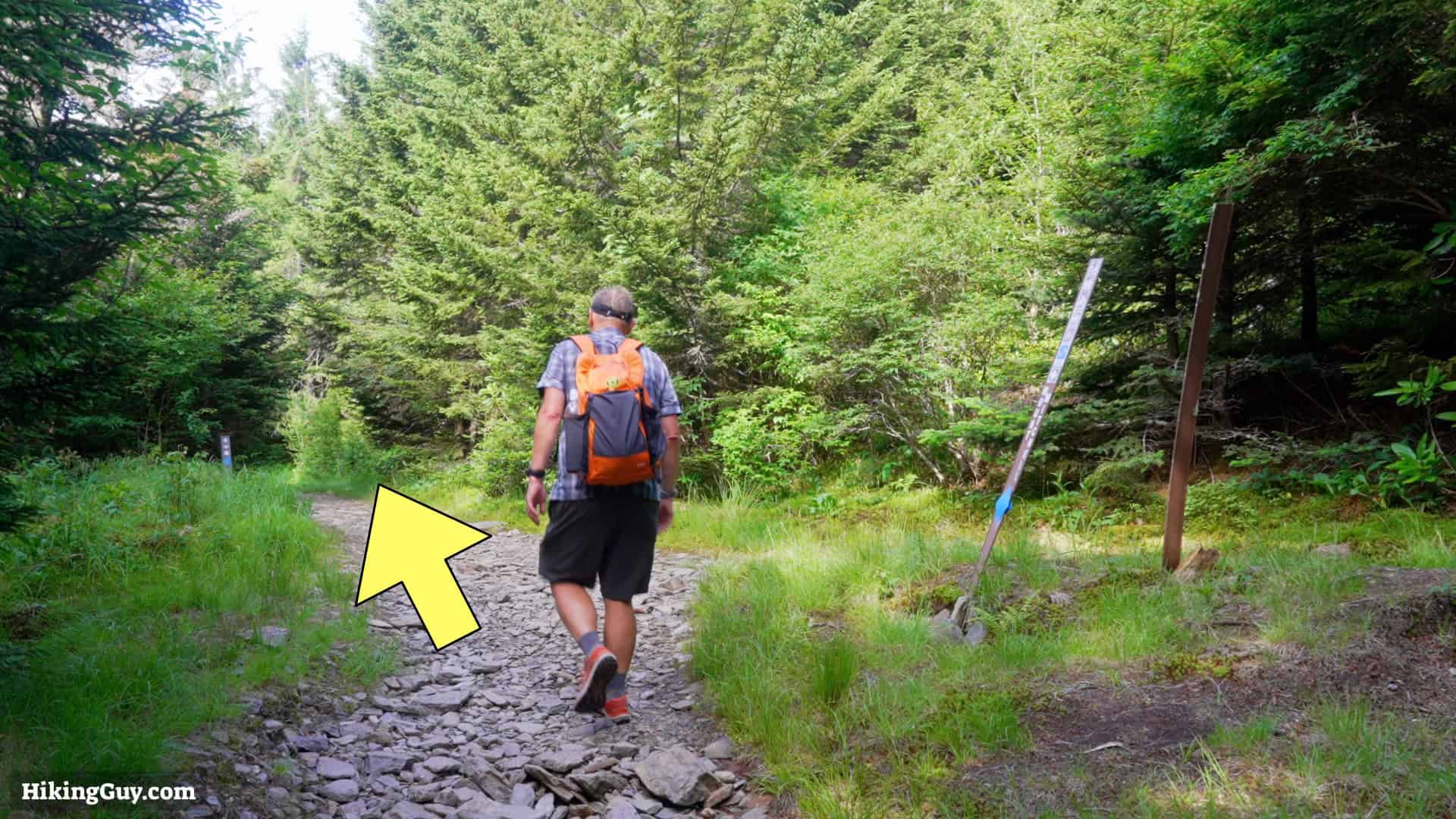
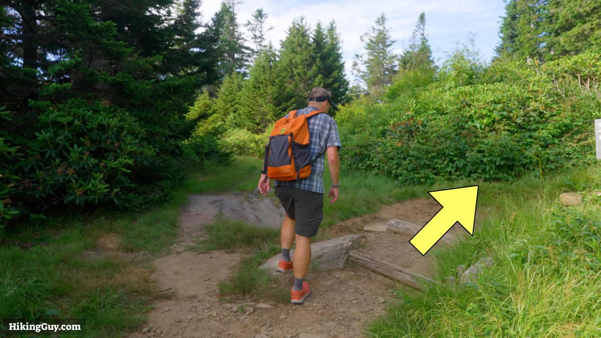
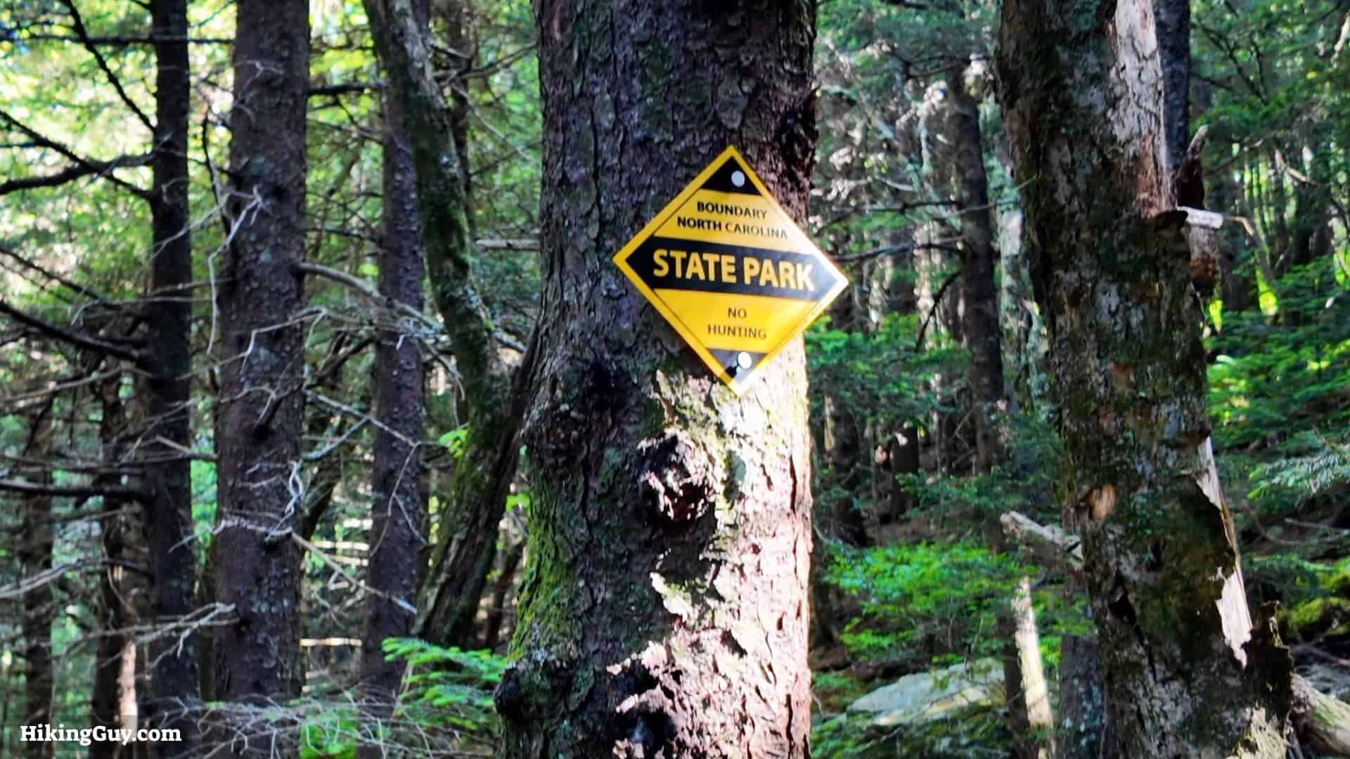
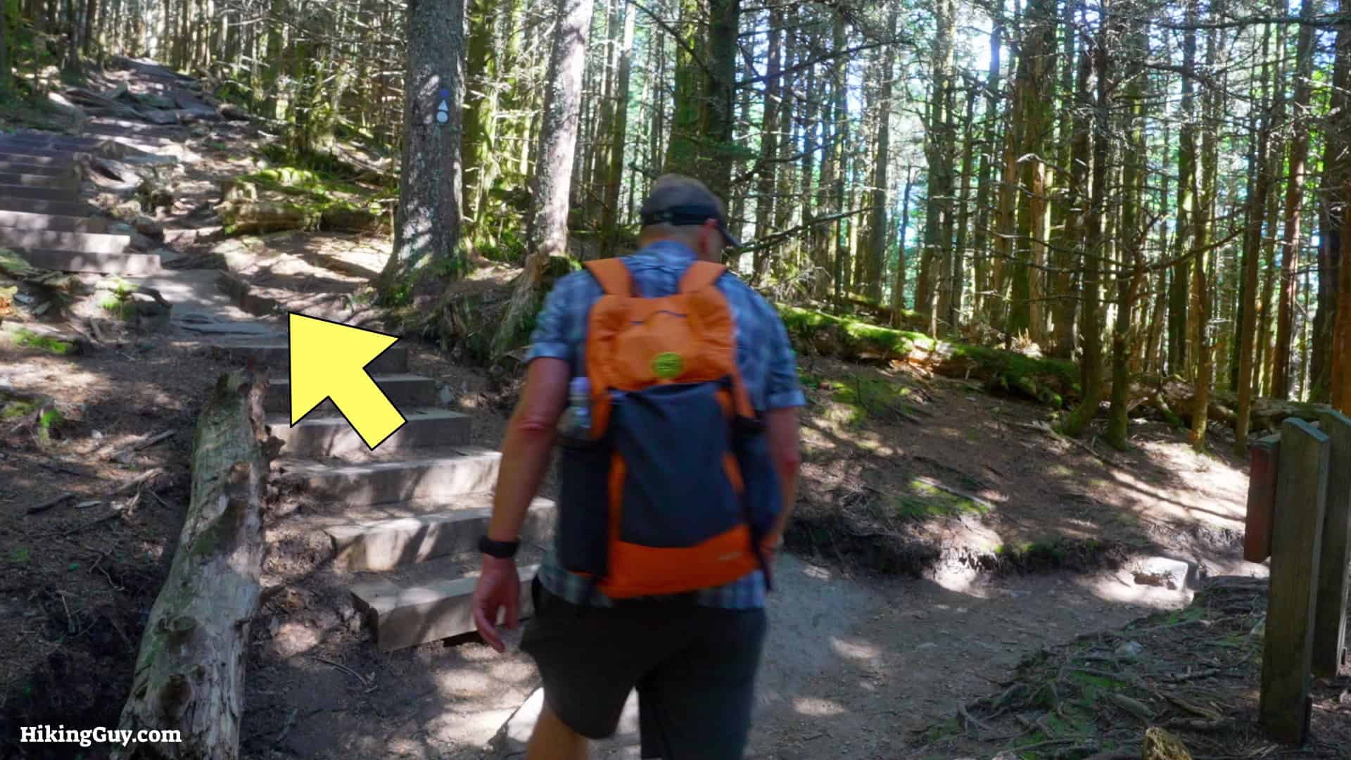
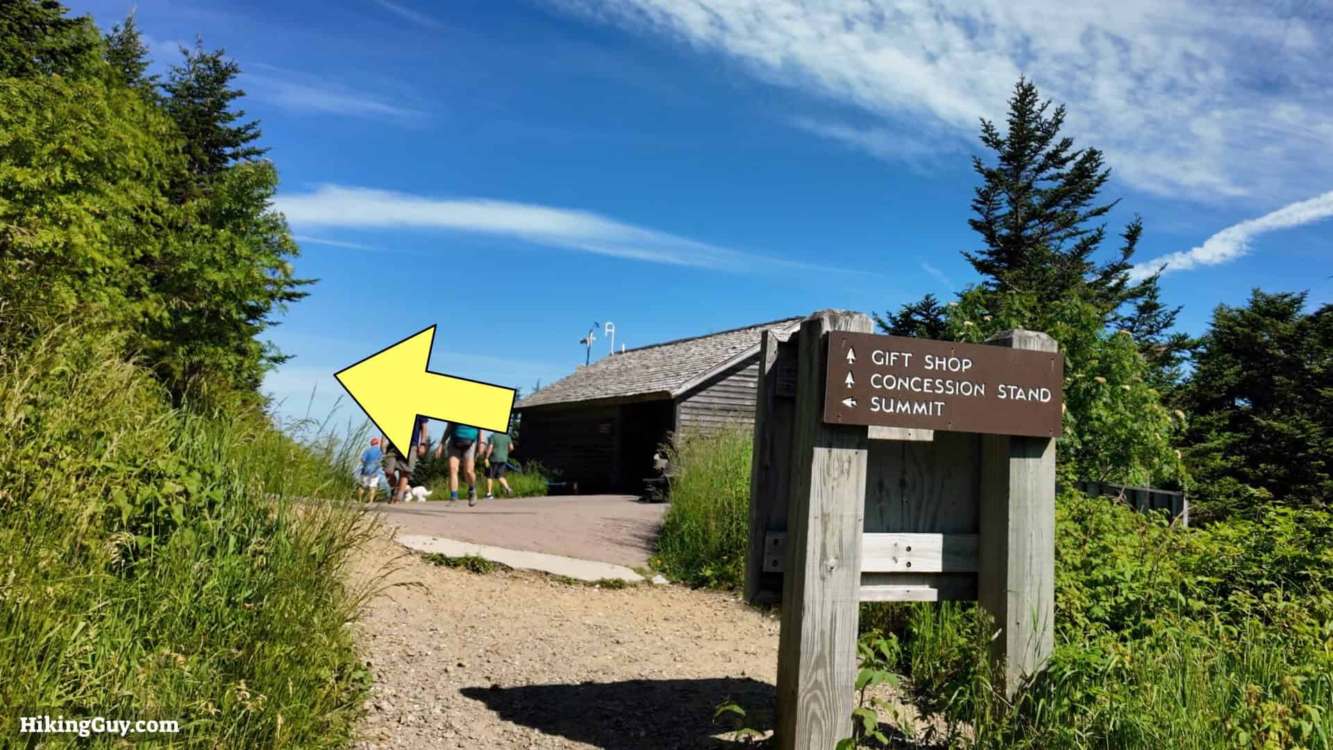
Mt Mitchell Hike Directions

Mt Mitchell Trip Vlog
Originally published July 4, 2024