How to Find Public and Park Land Boundaries for Free
Quick Links
GaiaGPS - OpenStreetMap - Overpass-Turbo - CalTopo - GaiaGPS Discount - Ask Me a Question
GaiaGPS - OpenStreetMap - Overpass-Turbo - CalTopo - GaiaGPS Discount - Ask Me a Question
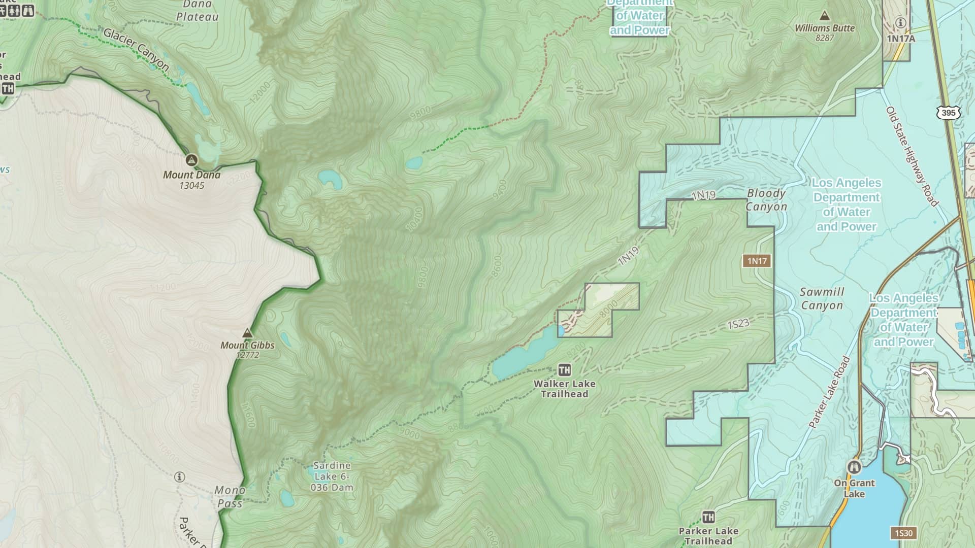
There are a lot of data sources for public land and park boundaries, but not many easy ways to access and work with them. In this guide, I'll show you two ways to see land boundaries for free and import them into your mapping software.
Code to use in Overpass-Turbo( Change 6140735 to whatever ID you get on OpenStreetMap )
[out:json][timeout:25];
relation(6140735);
out geom;