
Hike Wheeler Peak NV
Hike Stats
- Total Distance
- 8.8 miles
- Time
- 5-8 hours
- Total Climbing
- 2920 feet
- Difficulty
- Hard
- Crowds
- Moderate
- Dogs
- No Dogs
- Gear
- What I Use
- Weather
- Latest Report
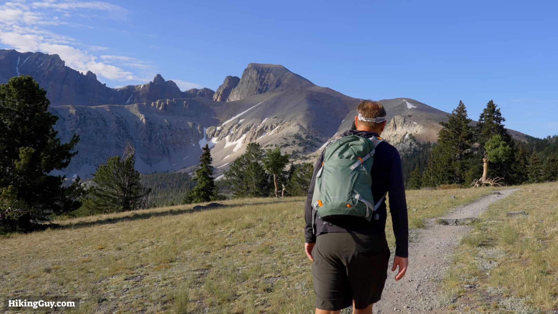
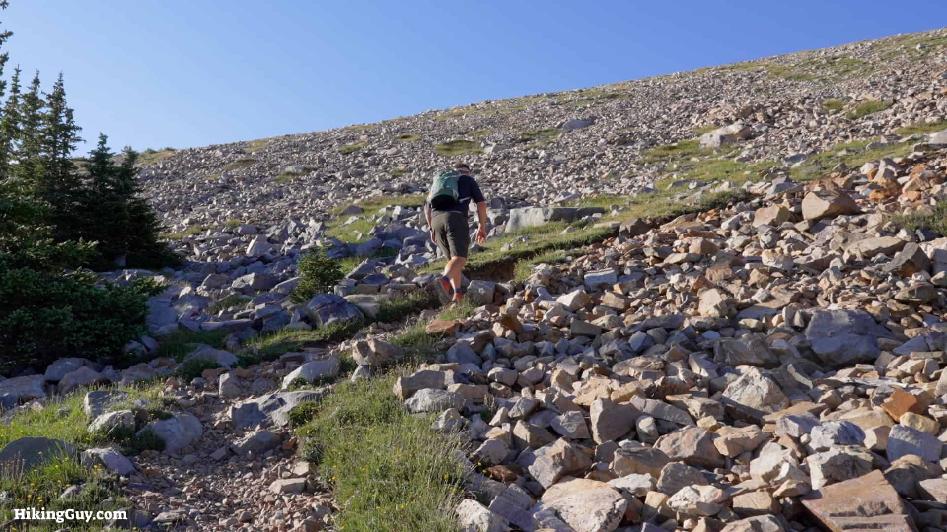
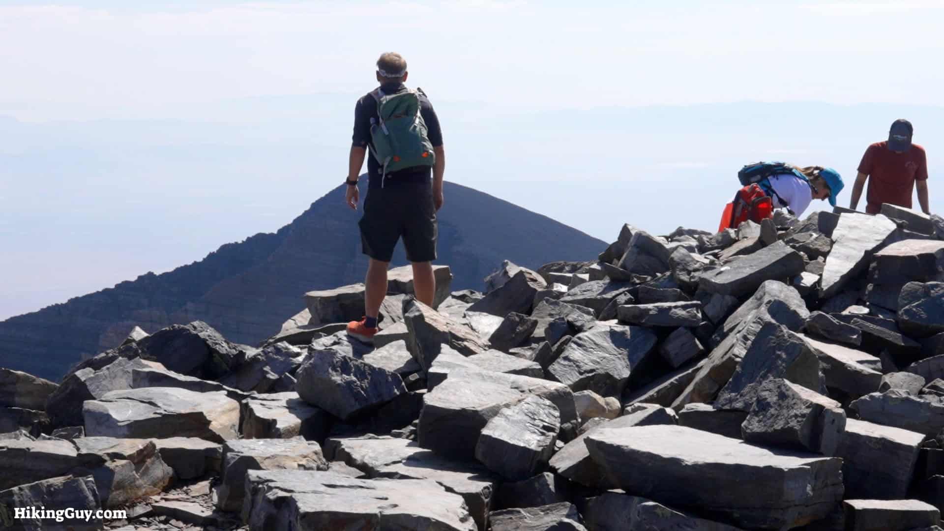
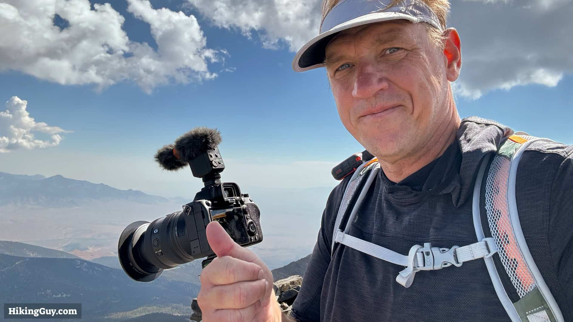
The hike to Wheeler Peak (NV) is tough, but it has its payoffs. On a clear day, you can see for 100 miles, and the scenery on the way to the summit is simply incredible. In this guide, I'll show you how to hike to Nevada's highest official hiking trail.
Where is Wheeler Peak?
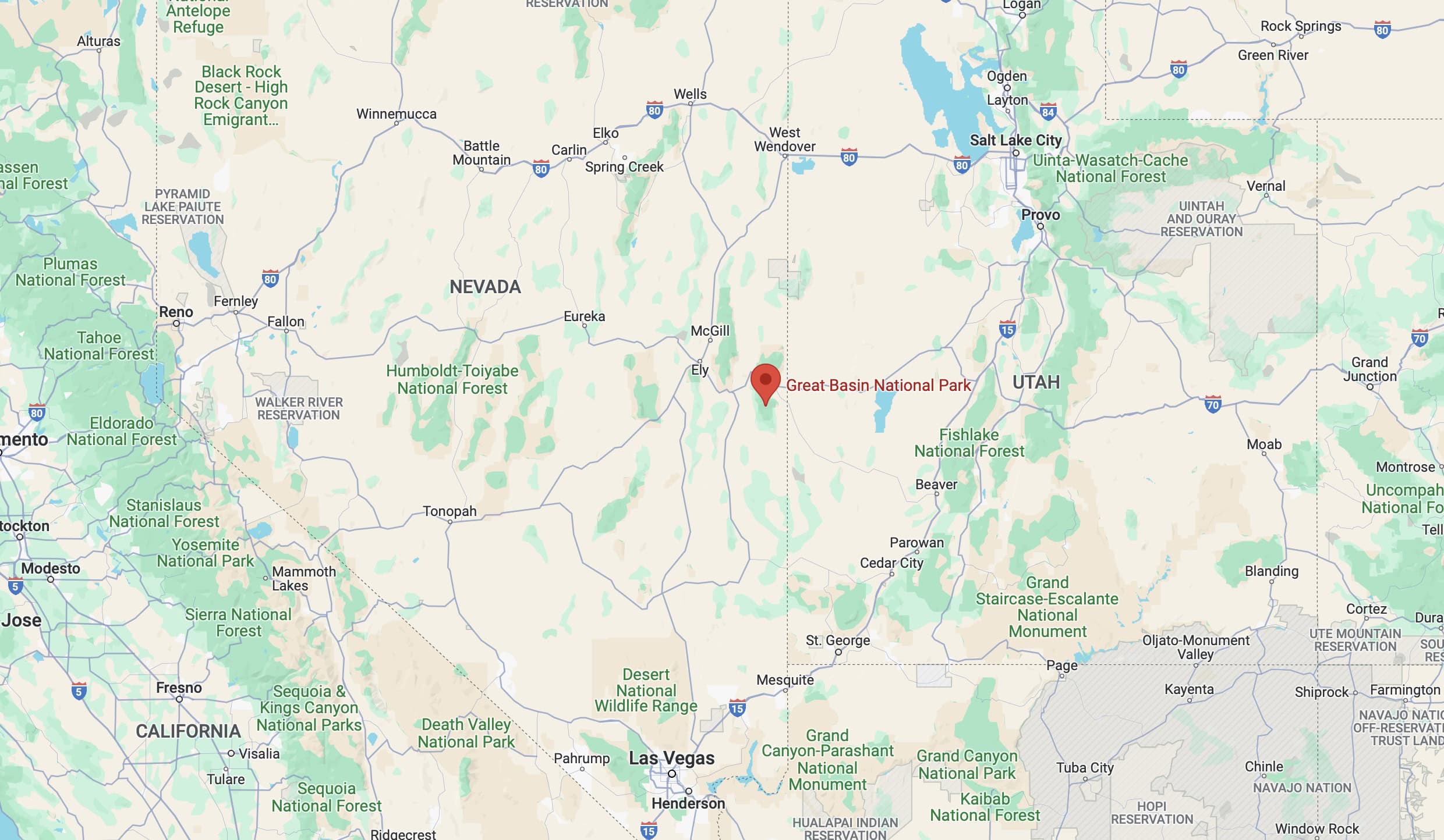
There is also a Wheeler Peak in New Mexico. Set your car GPS carefully or you might end up a few hundred miles away.
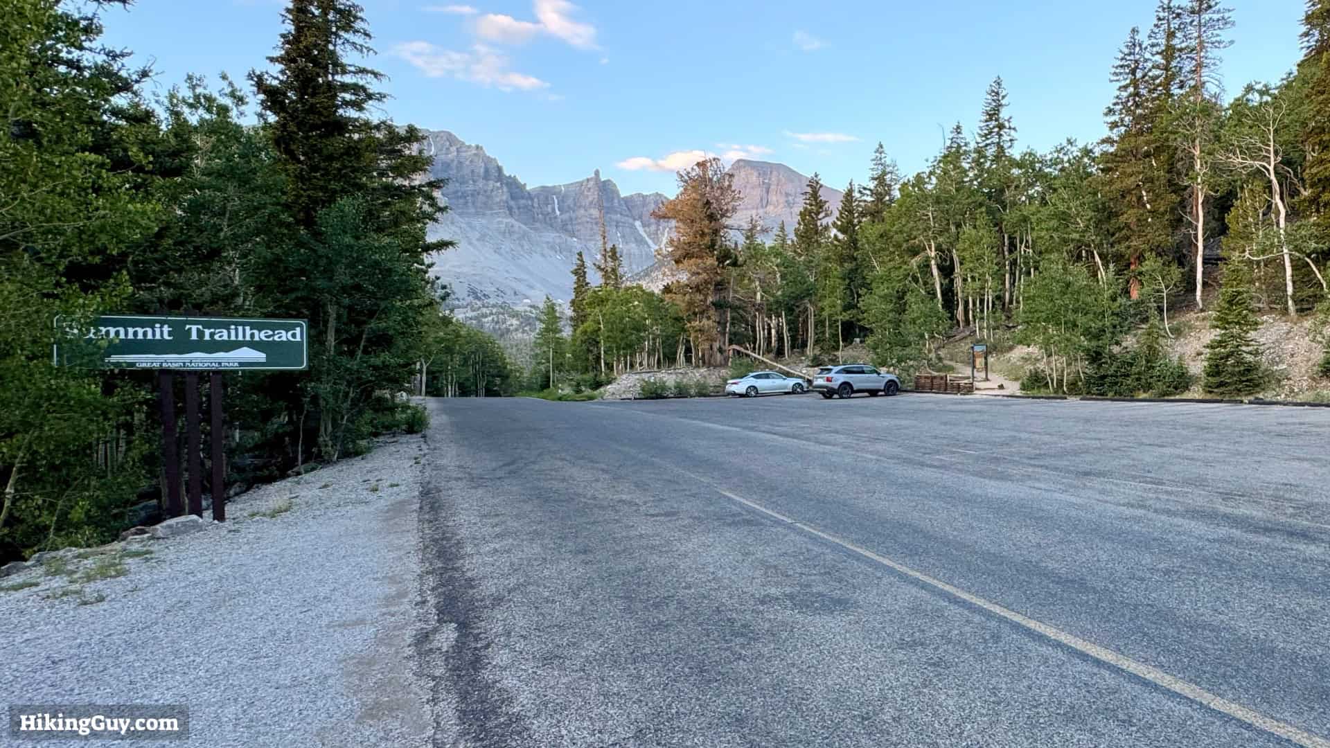
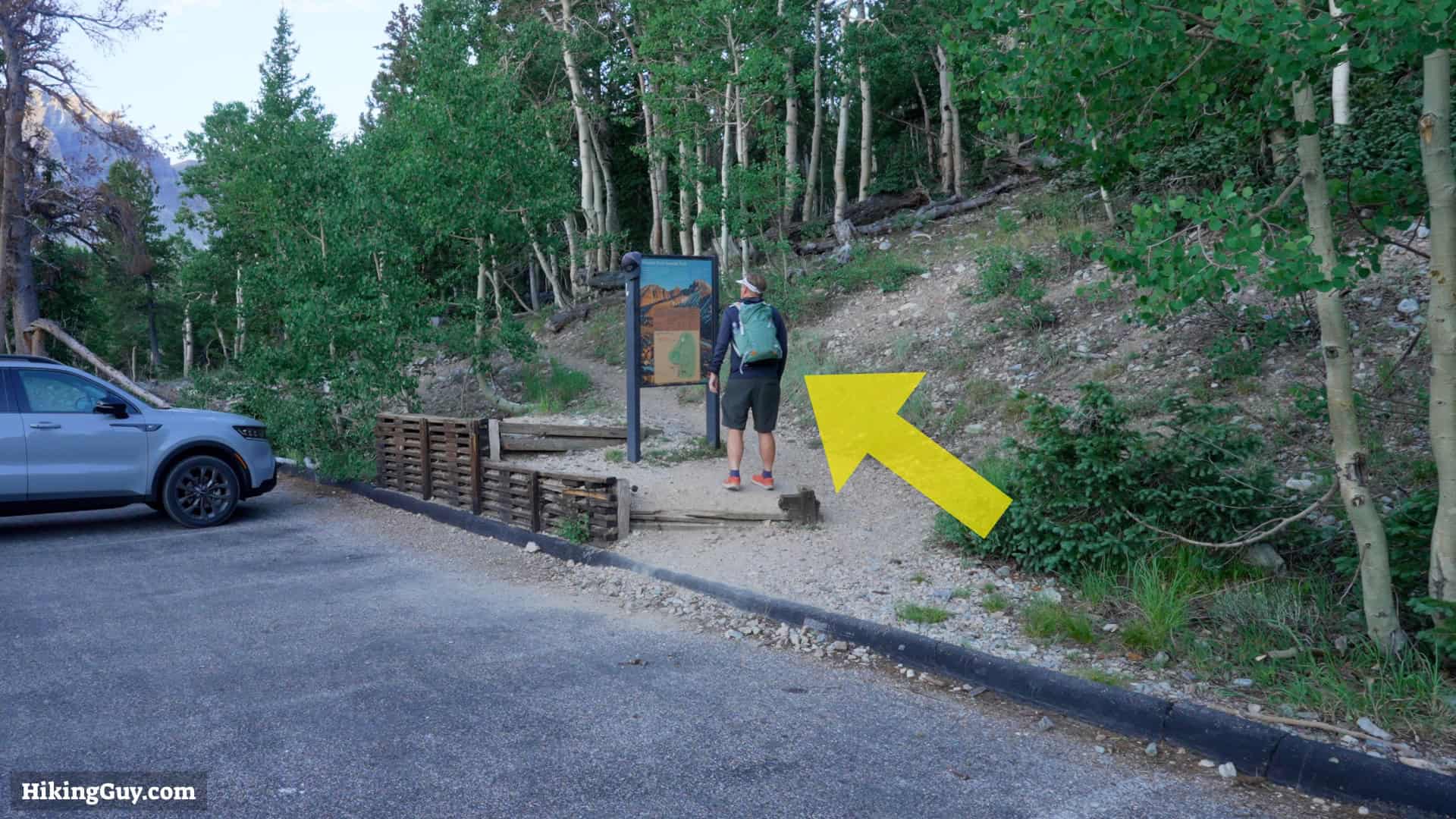
Use this trailhead address:
Summit Trailhead, Wheeler Peak Scenic Drive, Baker, NV 89311
Some notes if you're visiting:
- There is no entry fee for Great Basin National Park.
- Get water and use the bathroom at the visitor center. The trailhead has no facilities.
- If the parking is full, you can park down the road by the Wheeler Peak Campground.
- The Wheeler Peak Scenic Drive is closed in the winter up to this destination. Check the park website to see if it's open when you visit.
- The park has no hotels or lodges, it's camping only. Check the park website for more information.
Gear Recommendations

- Bring the 10 essentials.
- A good portion of this hike is exposed and above the tree line. Bring extra layers and rain gear. The weather can change quickly in the high mountains.
- I'd bring 2-3 liters of water and snacks.
- Don't expect cell phone reception. A satellite communicator is your best bet in case you get into trouble.
- The hike goes to over 13000 feet, so you might get altitude sickness. Some people have luck with ibuprofen to treat the symptoms. Others use the prescription Diamox. If you feel dizzy, nauseous, or have a headache, stop and acclimatize. If you feel really bad, descend immediately.
- If you do this hike early in the season, there can still be snow. Bring micro-spikes and trekking poles.
- Trekking poles are helpful in all conditions.
Essentials I’m Using Now
- Garmin inReach Mini 2: Reliable SOS Everywhere on Earth
- Sawyer + CNOC Water Filter: Easy & Reliable Safe Water
- Nitecore NU25 Headlamp: Running late? Get home safe
- Altra Olympus 275: Favorite trail shoes right now, no blisters and very comfy.
- AllTrails Plus (30% off): Offline maps on your phone with the Plus level
- Full November 2025 Gear List →
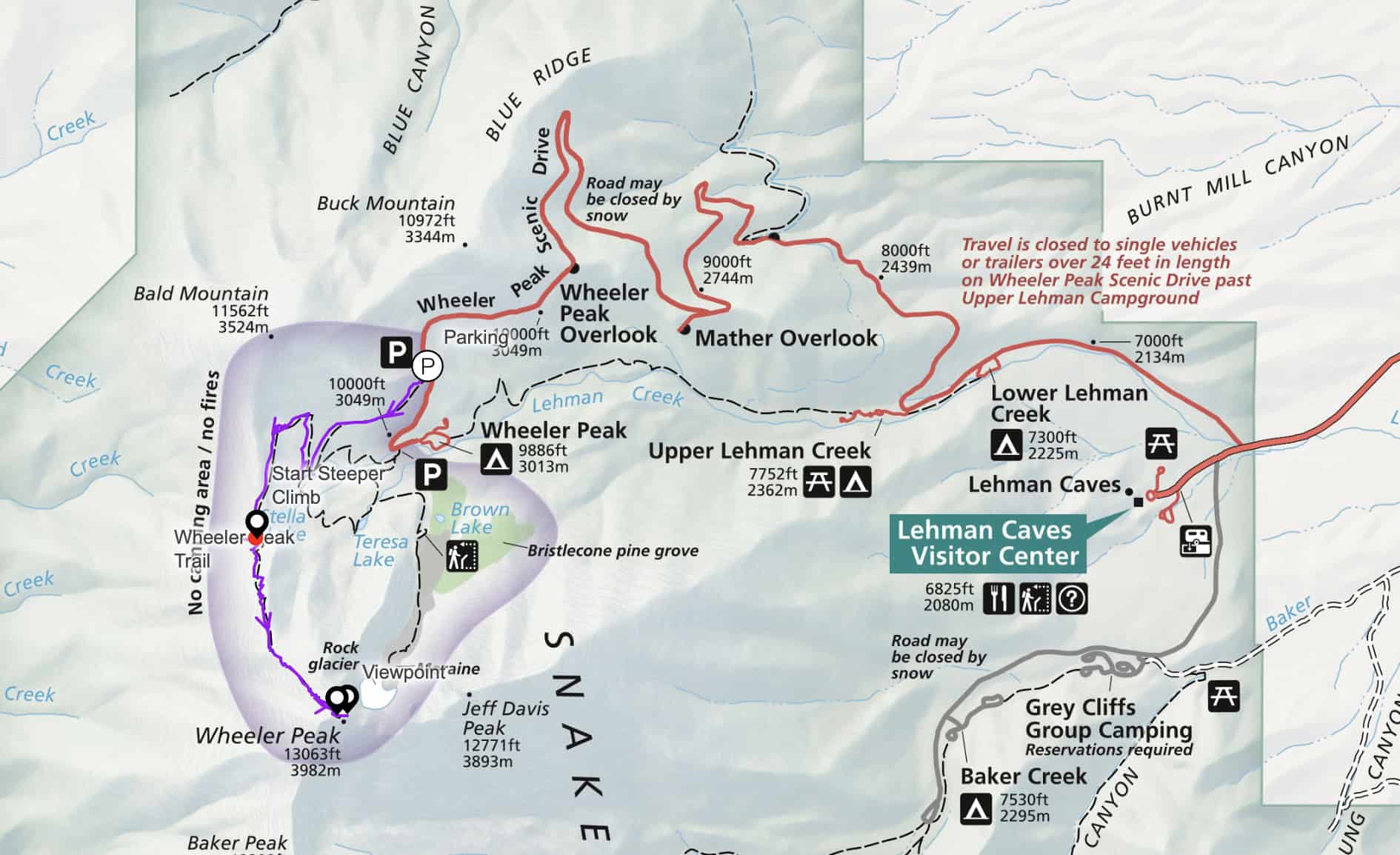
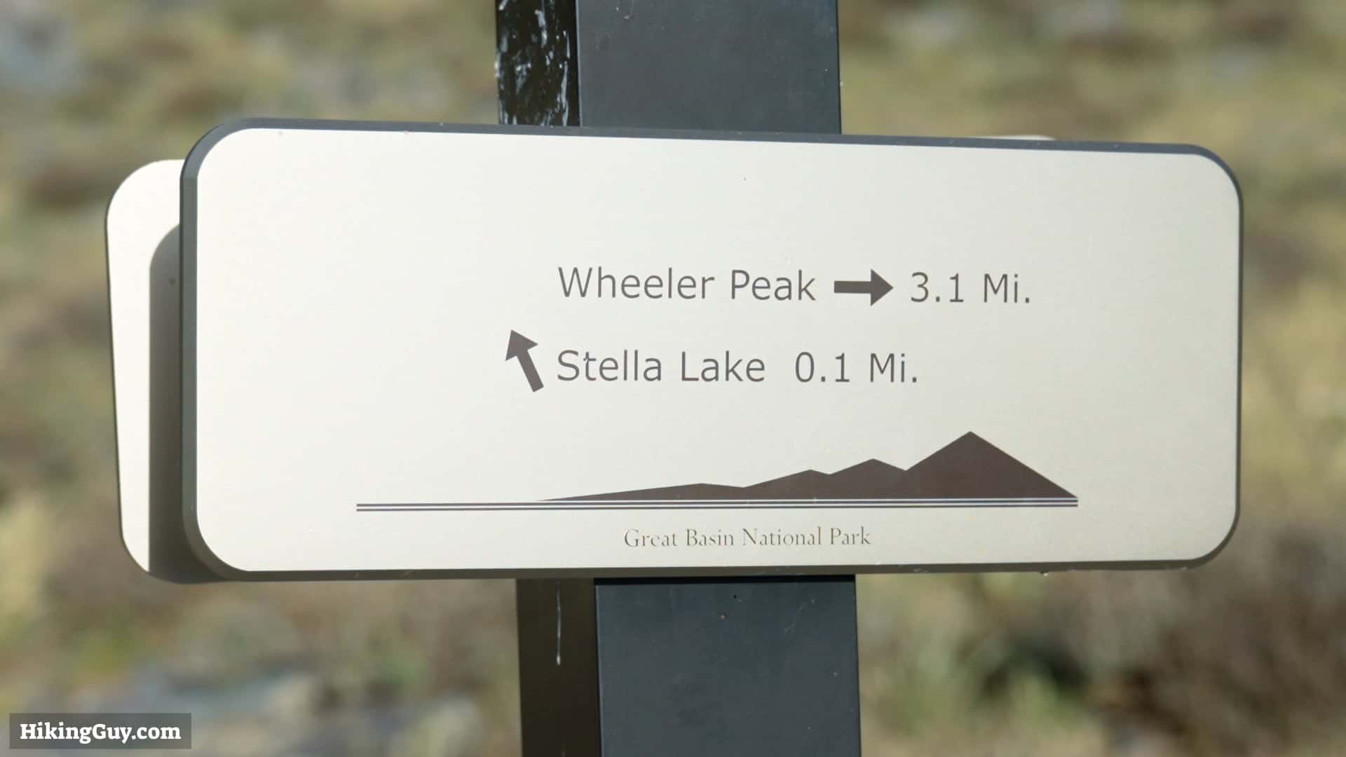
Wheeler Peak Trail Maps
Elevation Profile

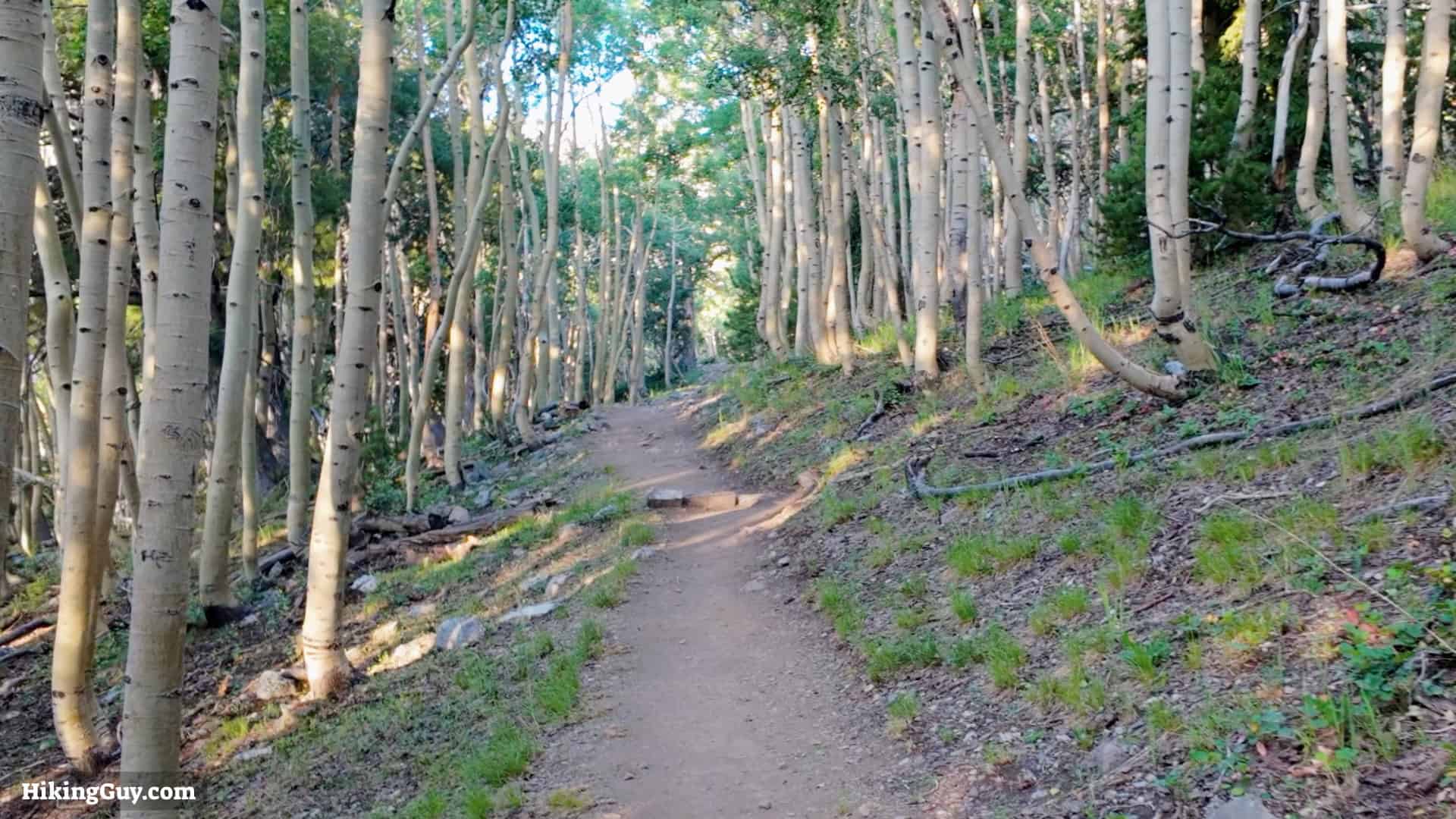
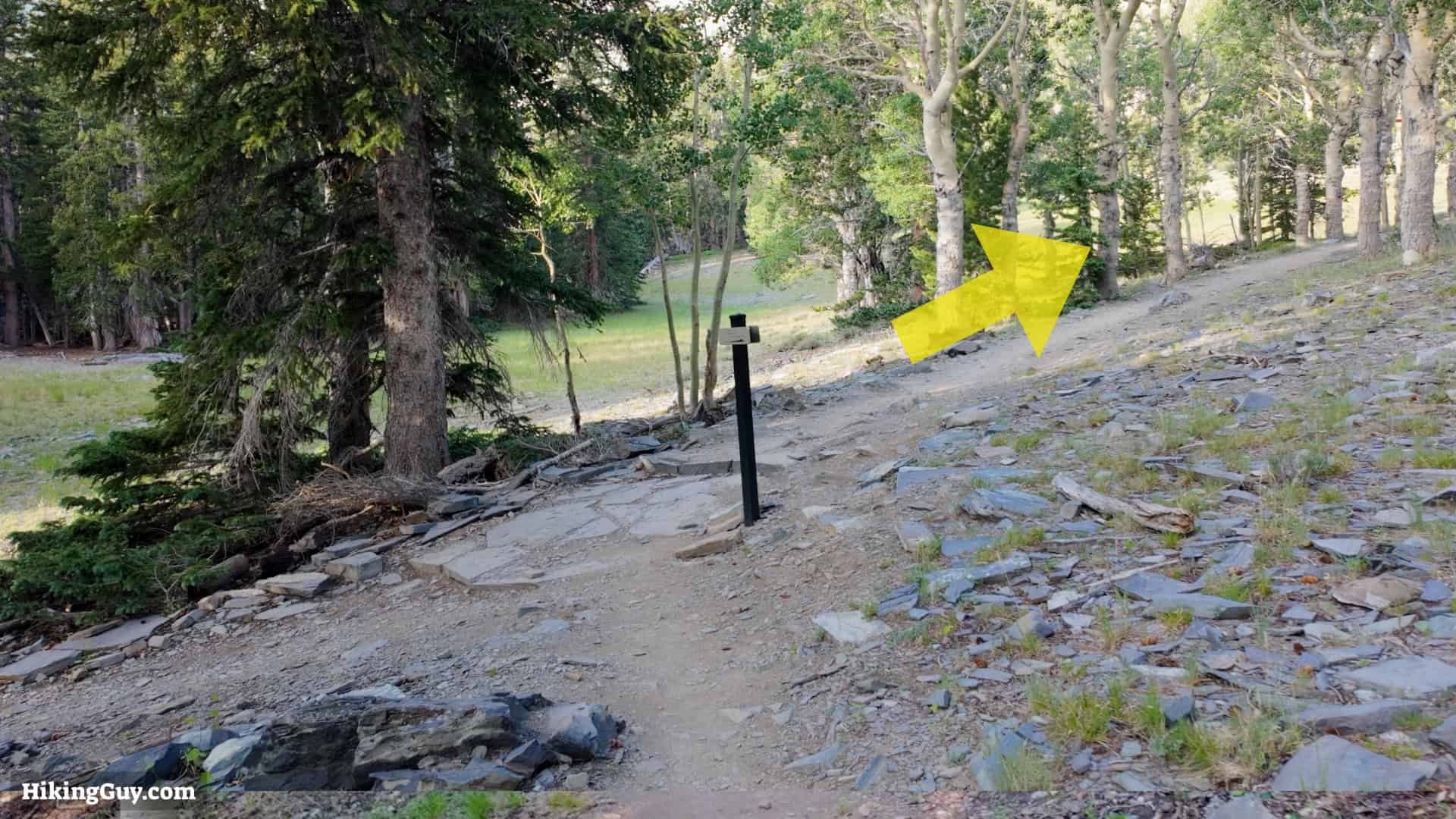
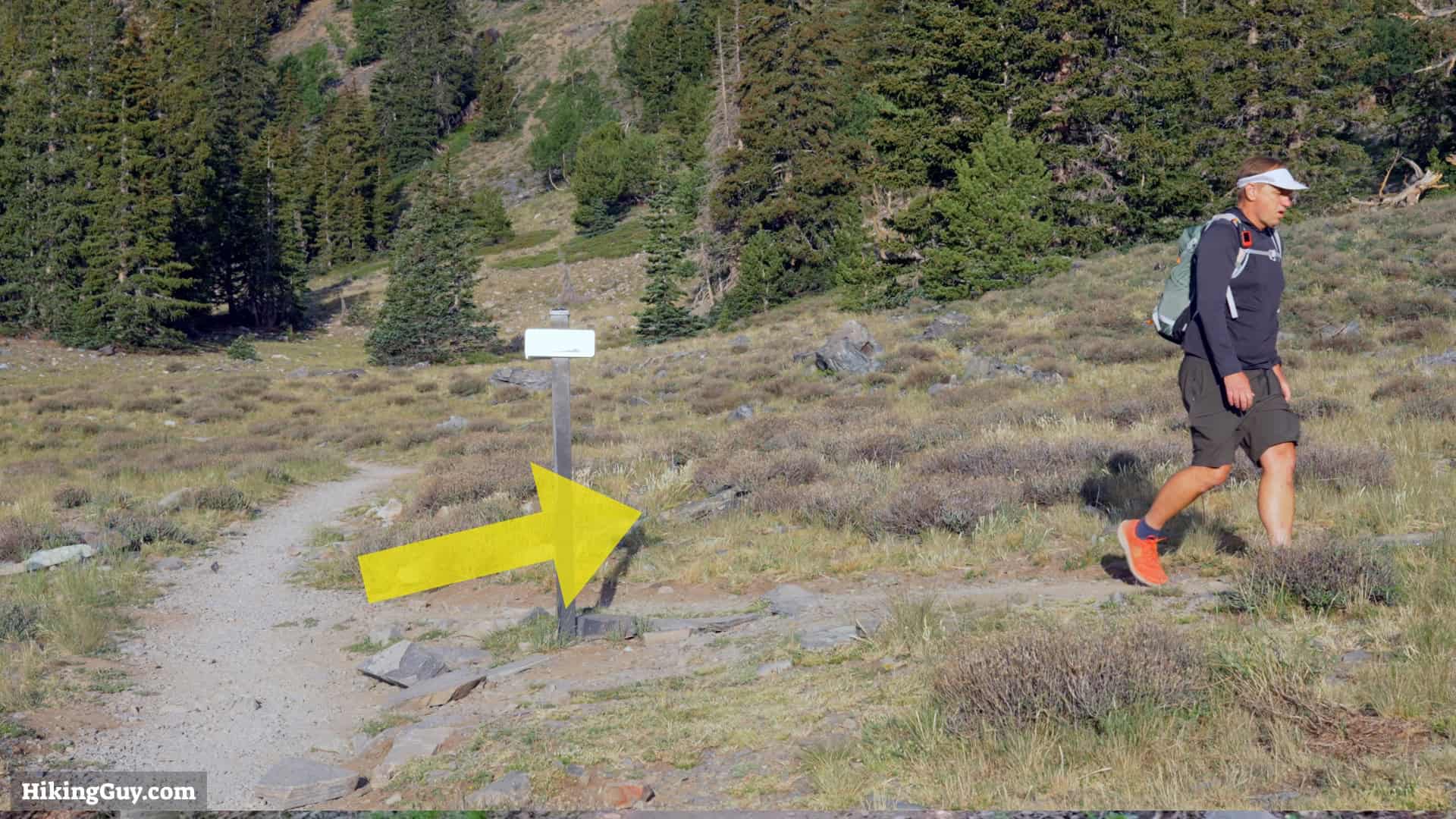
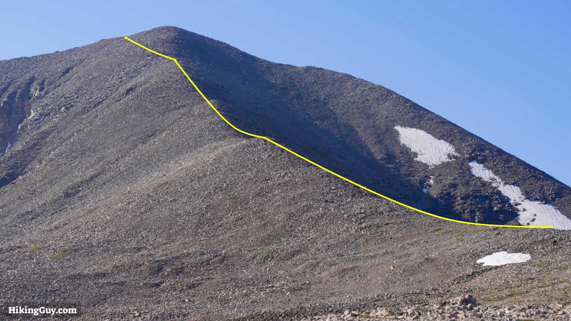
Wheeler Peak NV Hike Directions

My 50 Hike Challenge
Not all the states have high points that you can safely hike to on an established trail. Nevada is a great example. Boundary Peak is the high point, but according to the official Forest Service website, there's not an established trail. So instead, Wheeler Peak is the second highest point and has an established trail.
Follow Along On My Trip
Originally published July 29, 2024