
Lone Pine Lake Hike
Hike Stats
- Total Distance
- 5.6 miles
- Time
- 3-4 Hours
- Total Climbing
- 1900 feet
- Difficulty
- Moderate
- Crowds
- Moderate
- Dogs
- Leashed
- Gear
- What I Use
- Weather
- Latest Report
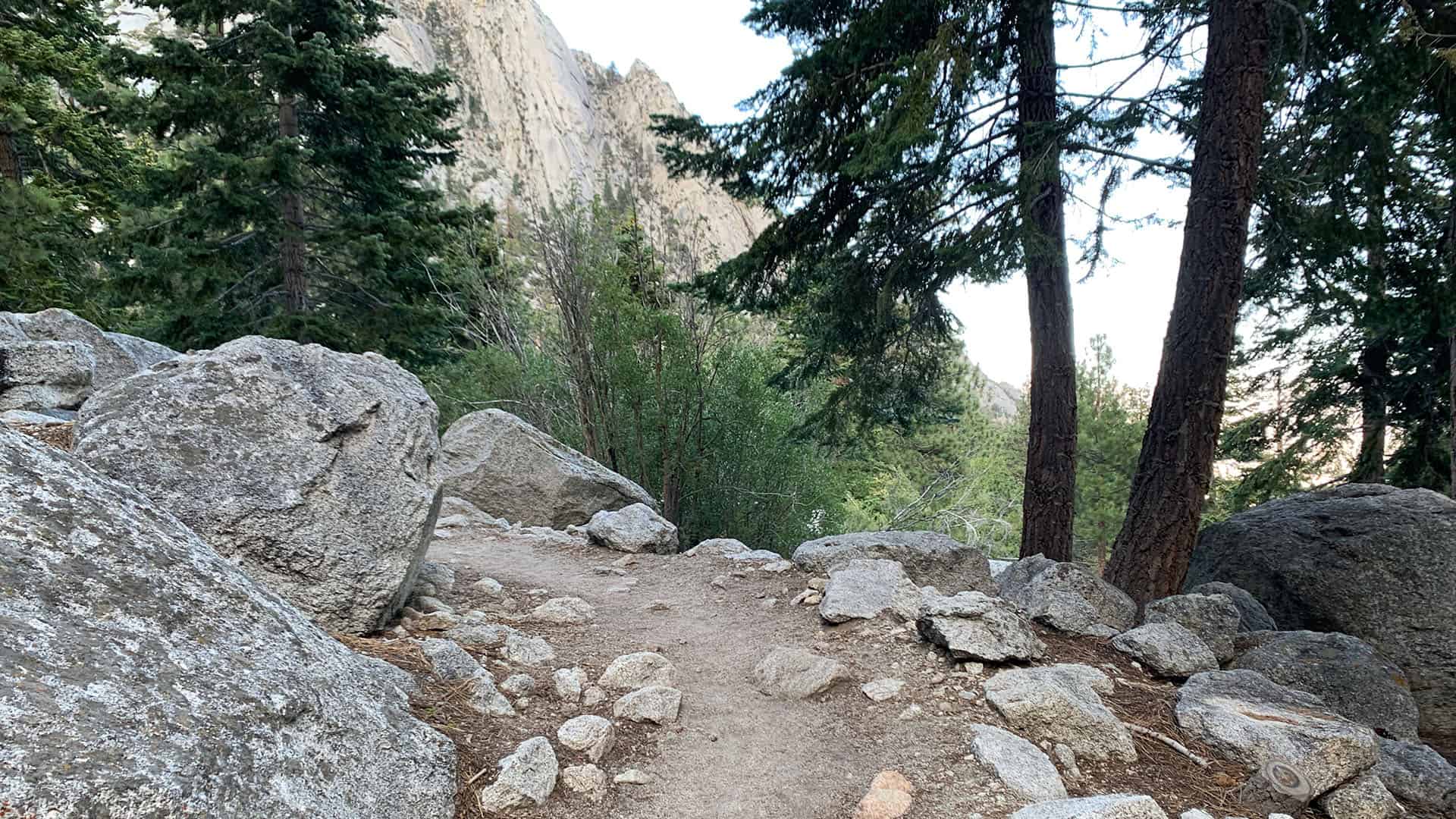
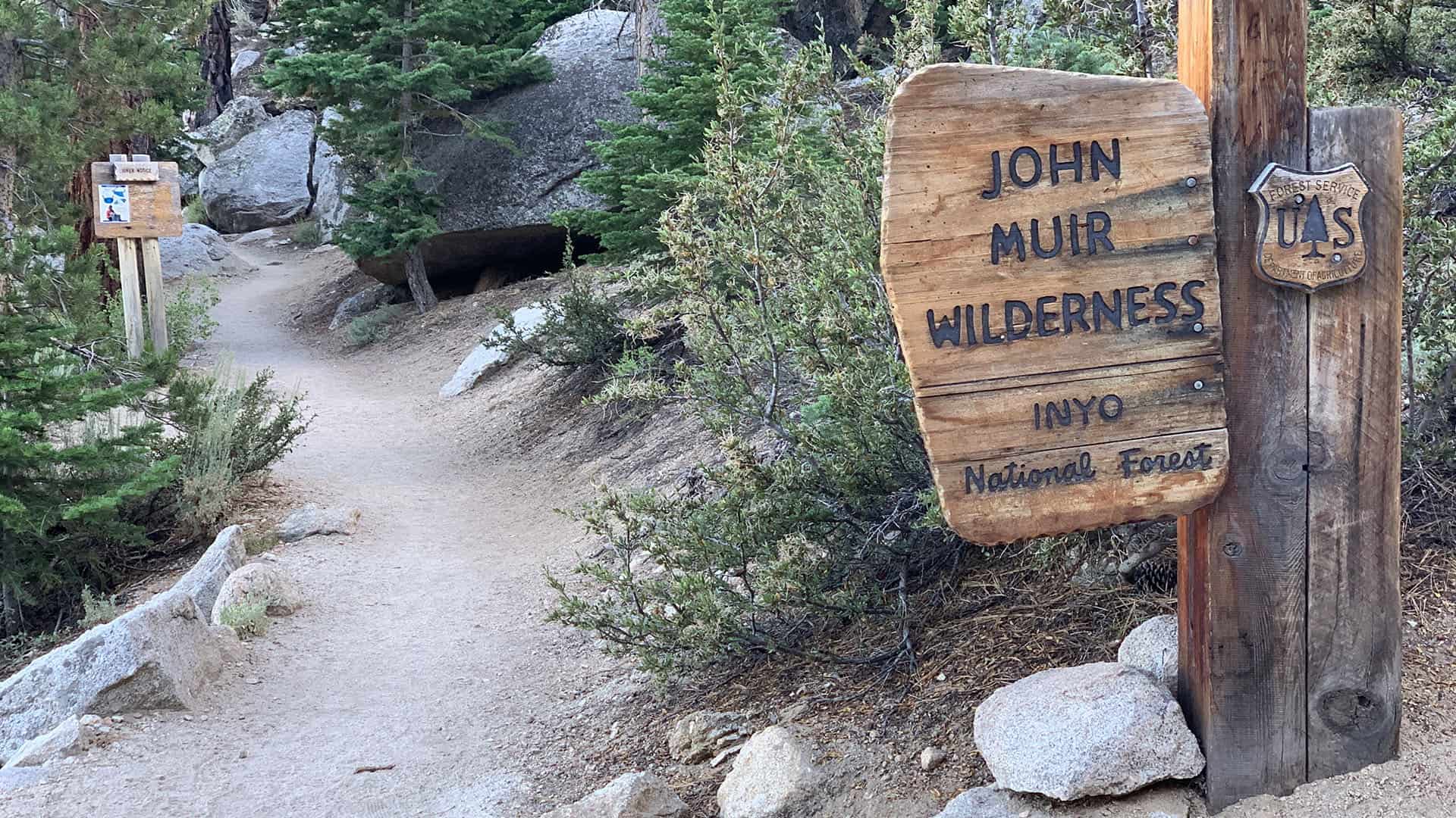
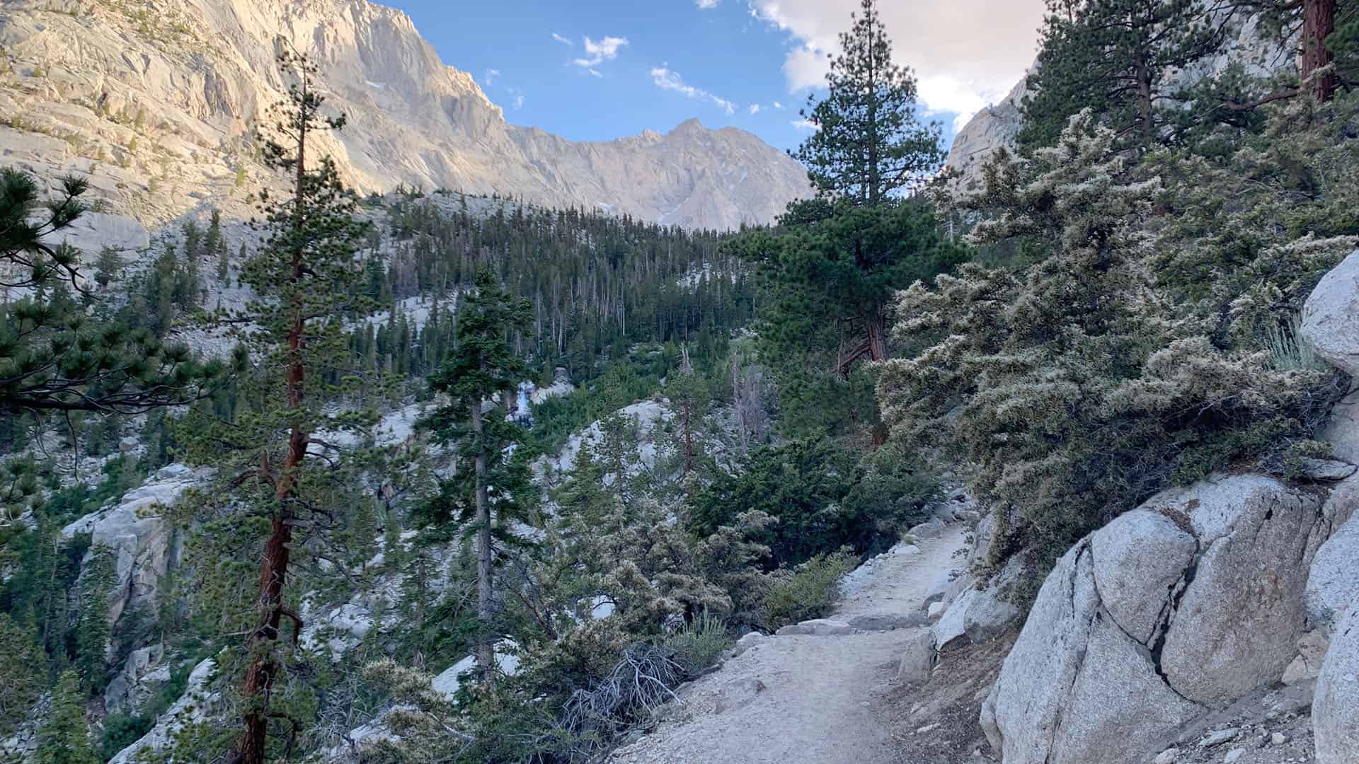
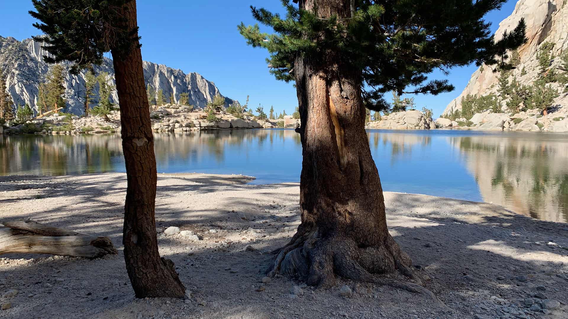
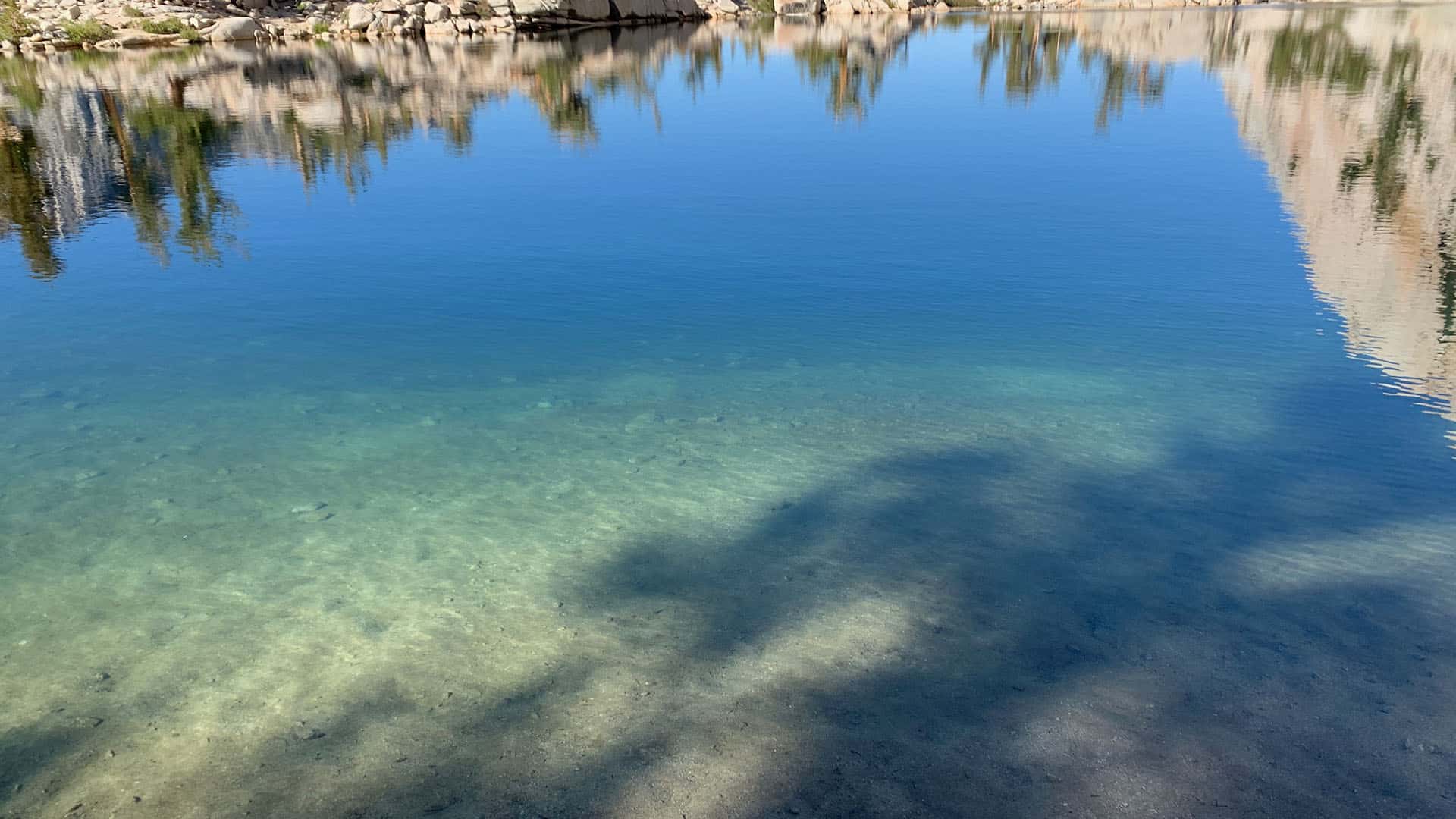
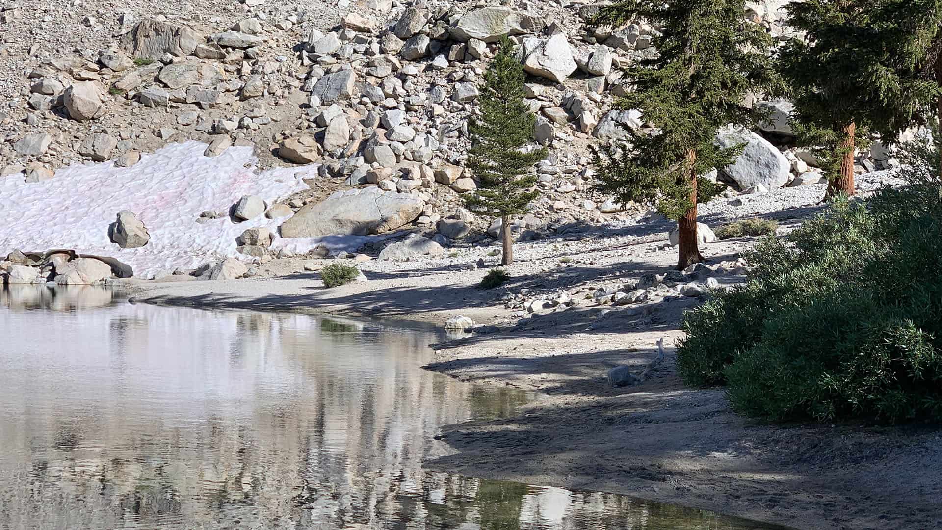
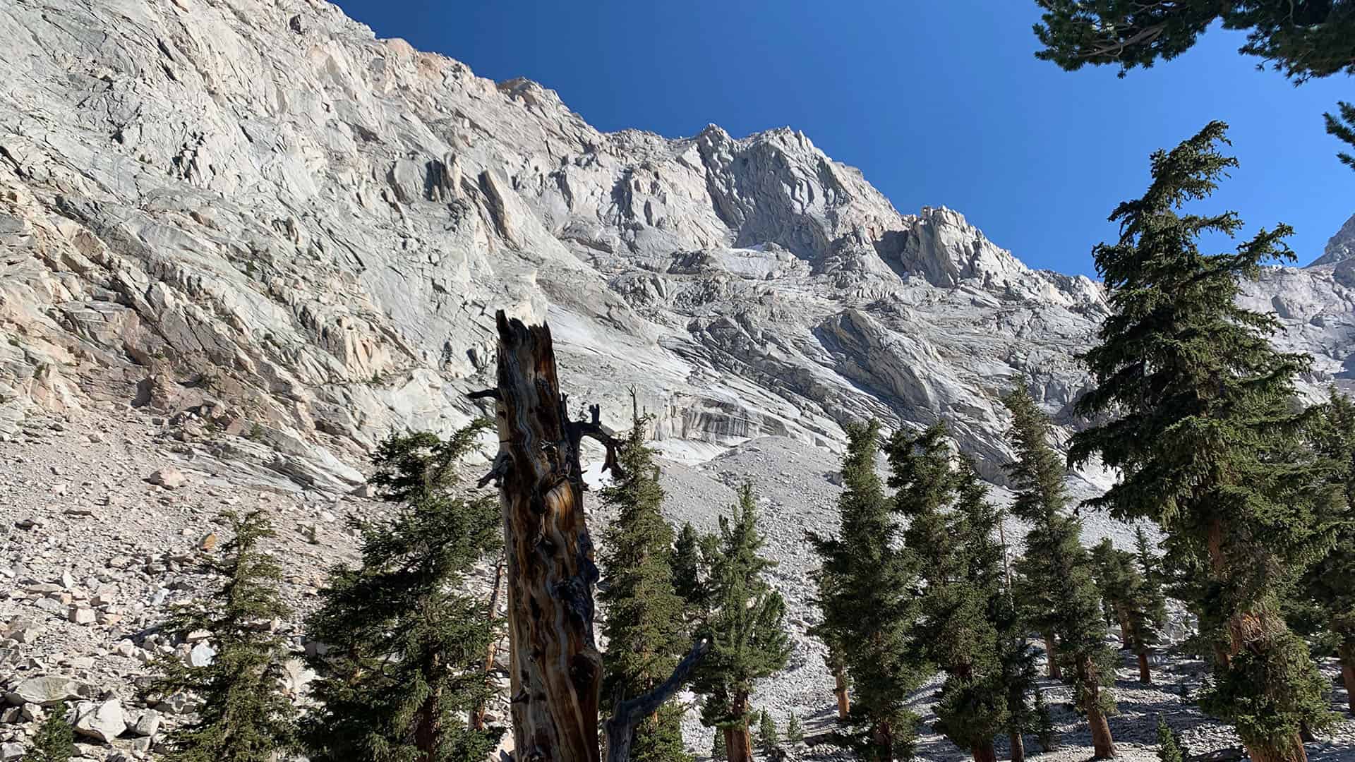
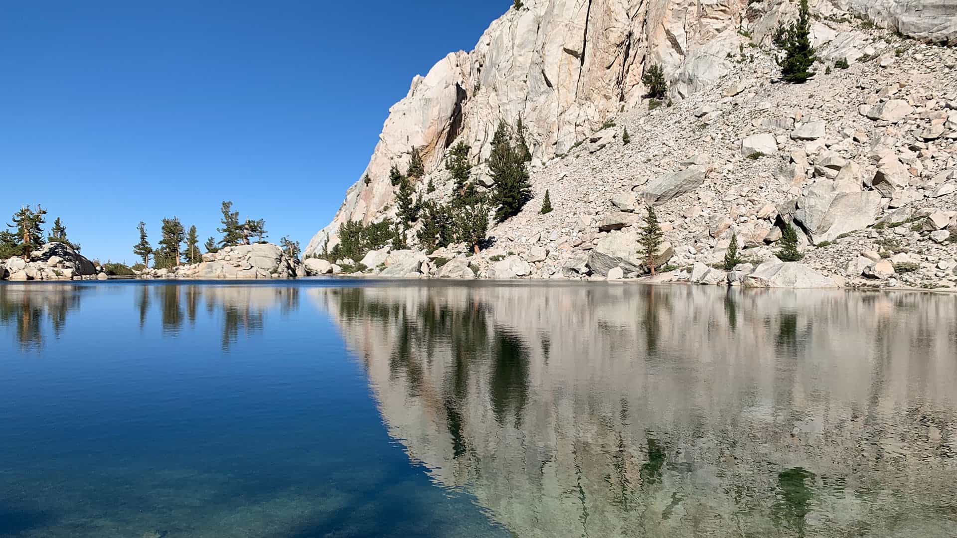
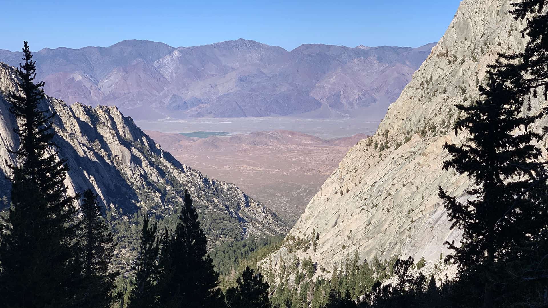
For a taste of the big mountains around Mt Whitney without the massive effort or hard-to-get permit, try the very doable Lone Pine Lake hike which follows the Mt Whitney Trail. It's a moderate effort but very doable by most people as a half-day adventure. When you finish the climb to Lone Pine Lake, you're rewarded with a pristine mountain lake, a scenic picnic area, and a backdrop of the high peaks in the Eastern Sierra.
Where Is Lone Pine Lake?
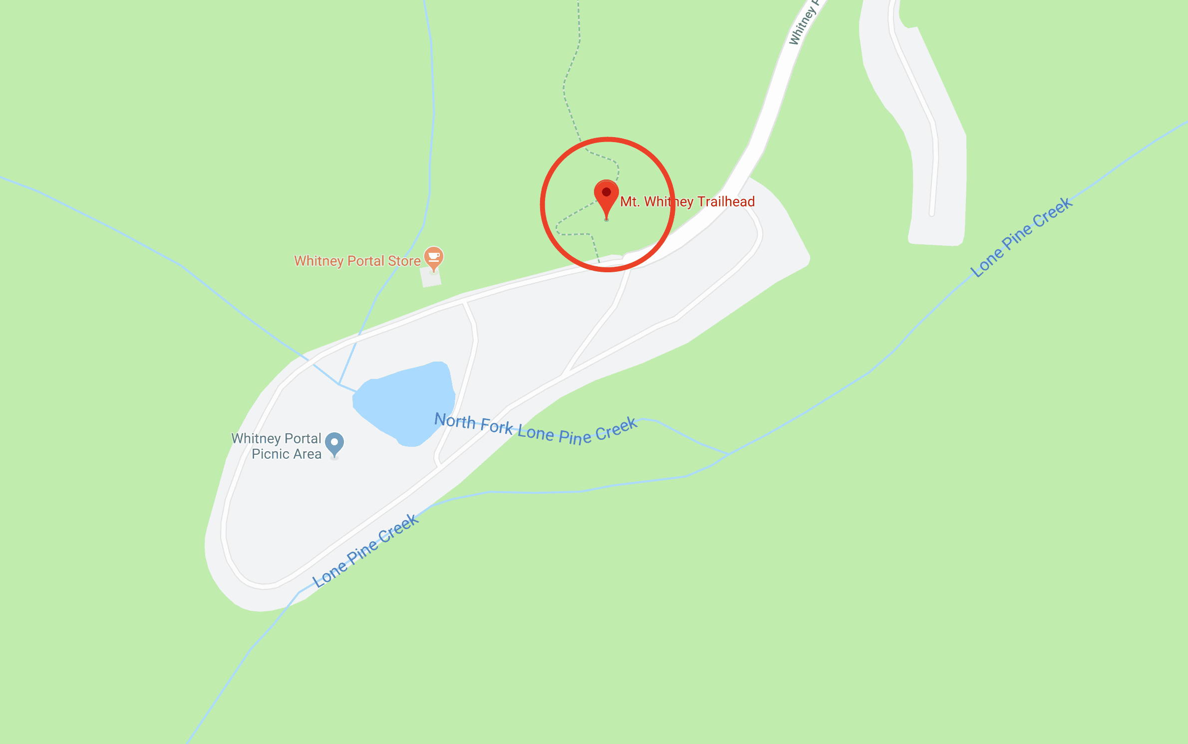
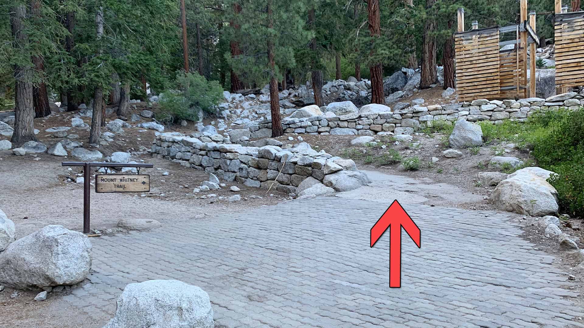
Lone Pine Lake sits about 2.8 miles above Whitney Portal, CA, where the trailhead is. From Lone Pine, CA you drive up Whitney Portal Road for about 11.5 miles until you reach the dead-end at Whitney Portal. The trail to Lone Pine Lake uses the same trailhead as the Mt Whitney Trail.
Use this trailhead address:
Mt. Whitney Trailhead, Whitney Portal Rd, Lone Pine, CA 93545
You don't need a parking permit as long as you only park between 6am and 8pm. Otherwise you'll need a National Parks Pass.
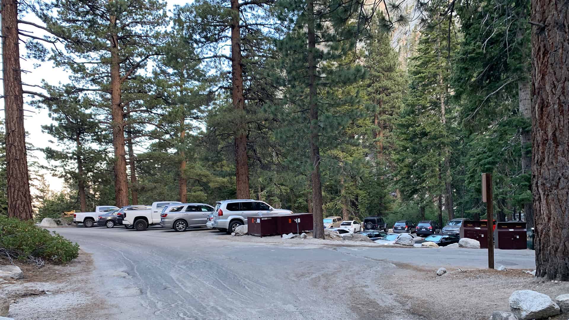
As you drive into Whitney Portal there are a few parking areas. As long as you don't park in front of a no-parking sign or in one of the store spots, you'll be fine. Ideally you'll find a spot in the day-use parking area, but if not, you can park in the hiker parking too.
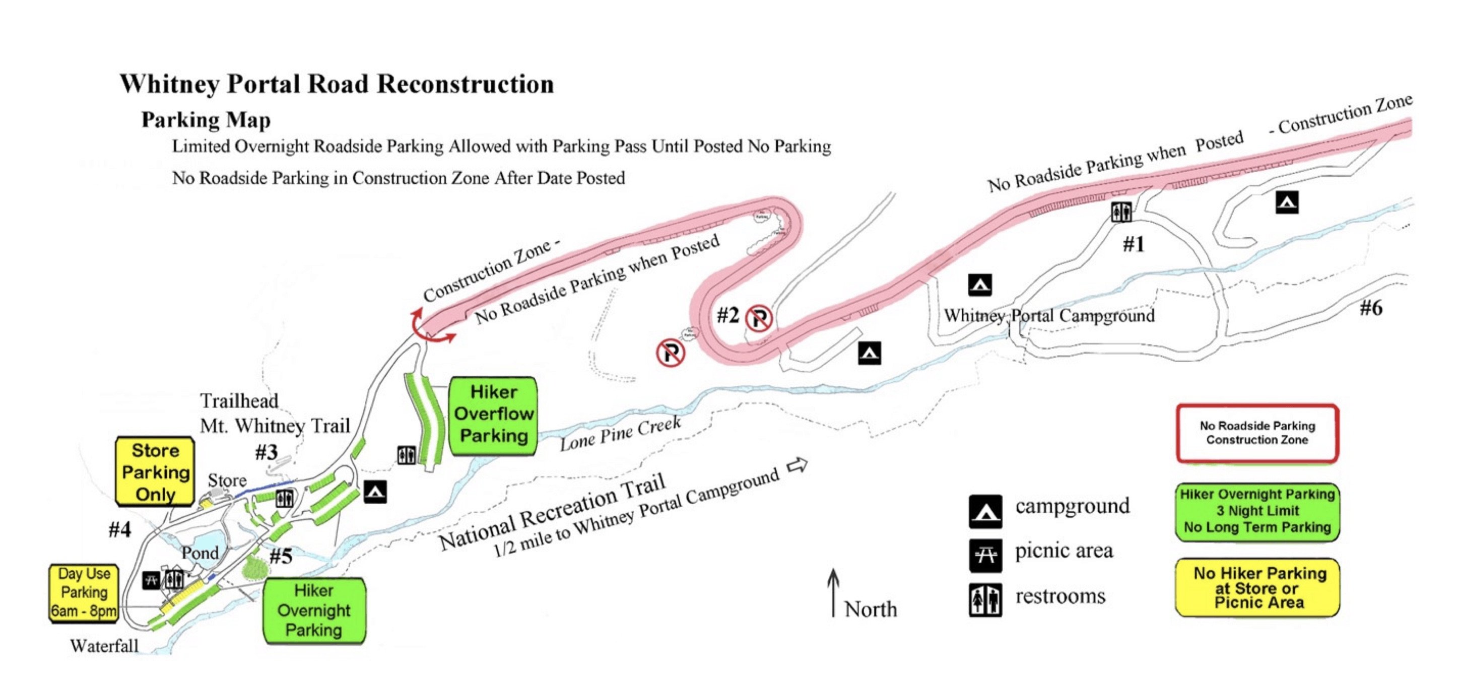
The actual trailhead is just before the Whitney Portal Store on the loop at the end of Whitney Portal Road.
If you want to grab a snack or souvenir, I highly recommend the Whitney Portal Store (open May-October weather permitting). And if you haven't visited the Eastern Sierra Visitor's Center in Lone Pine on your way in, that's worth a stop as well.
The Whitney Portal Road is generally closed in the winter. Call the ranger's office for confirmation. And in the spring there can be snow on the trail. The hike is best done in summer.
Bears at Whitney Portal
When you park, make sure that you don't leave any food or scented items in your car, even if in a cooler. Bears know that visitors often have food and lurk around for the right moment to snatch it. I've seen cars torn apart by bears, I've been woken up at the campground by bears, and I've seen a bear snatch a backpack while a hiker was in the bathroom. They're not interested in eating you, but they will take your Clif Bars, soda cups, or McDonald's wrappers on your floor. Again, it's not a safety issue for you, generally bears will run away, but don't leave any food in your car. Use the bear boxes around the parking areas to store any food.
Gear for the Hike
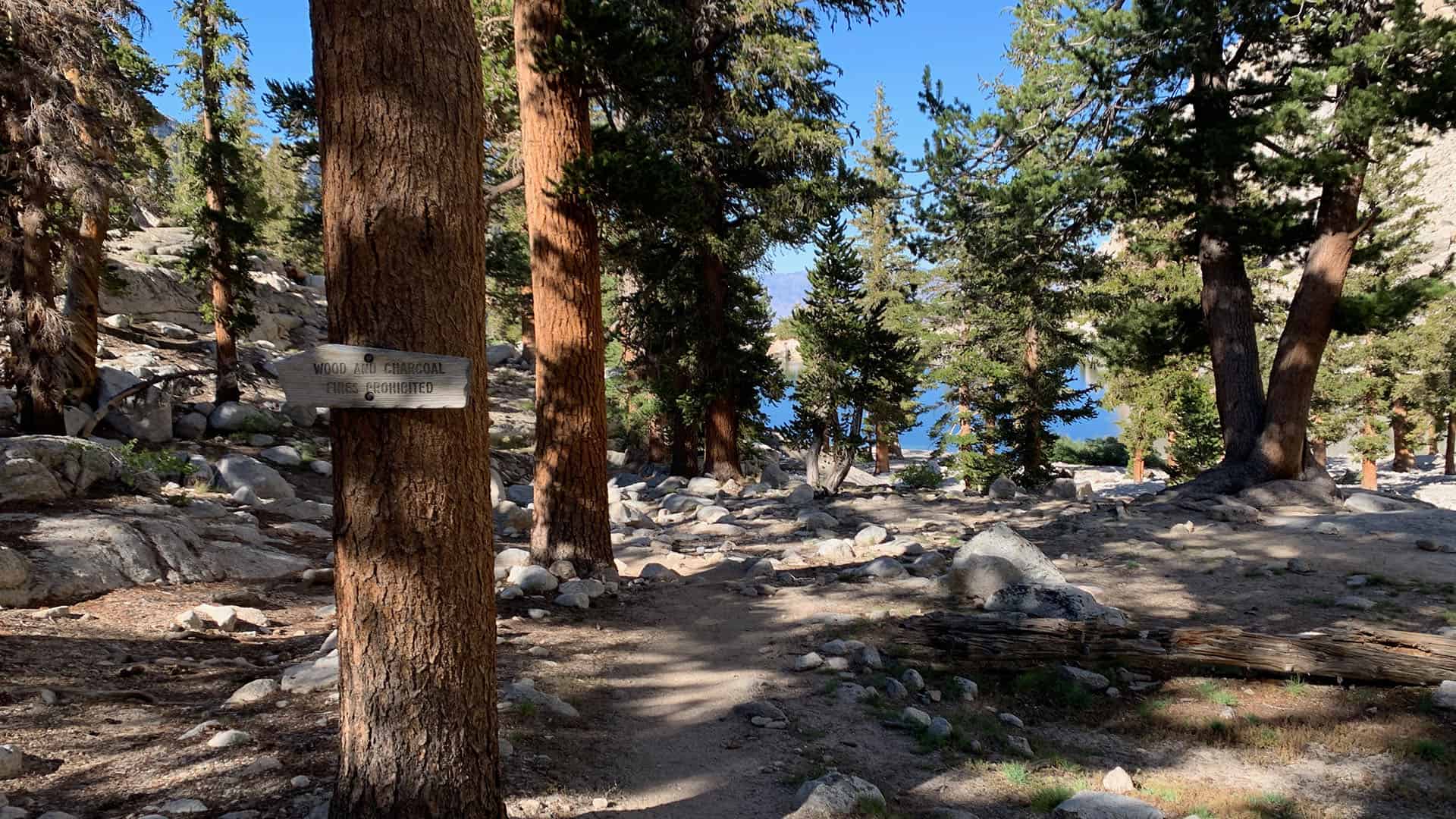
As long as you don't hike past Lone Pine Lake or stay overnight, you do not need any permit to do this hike.
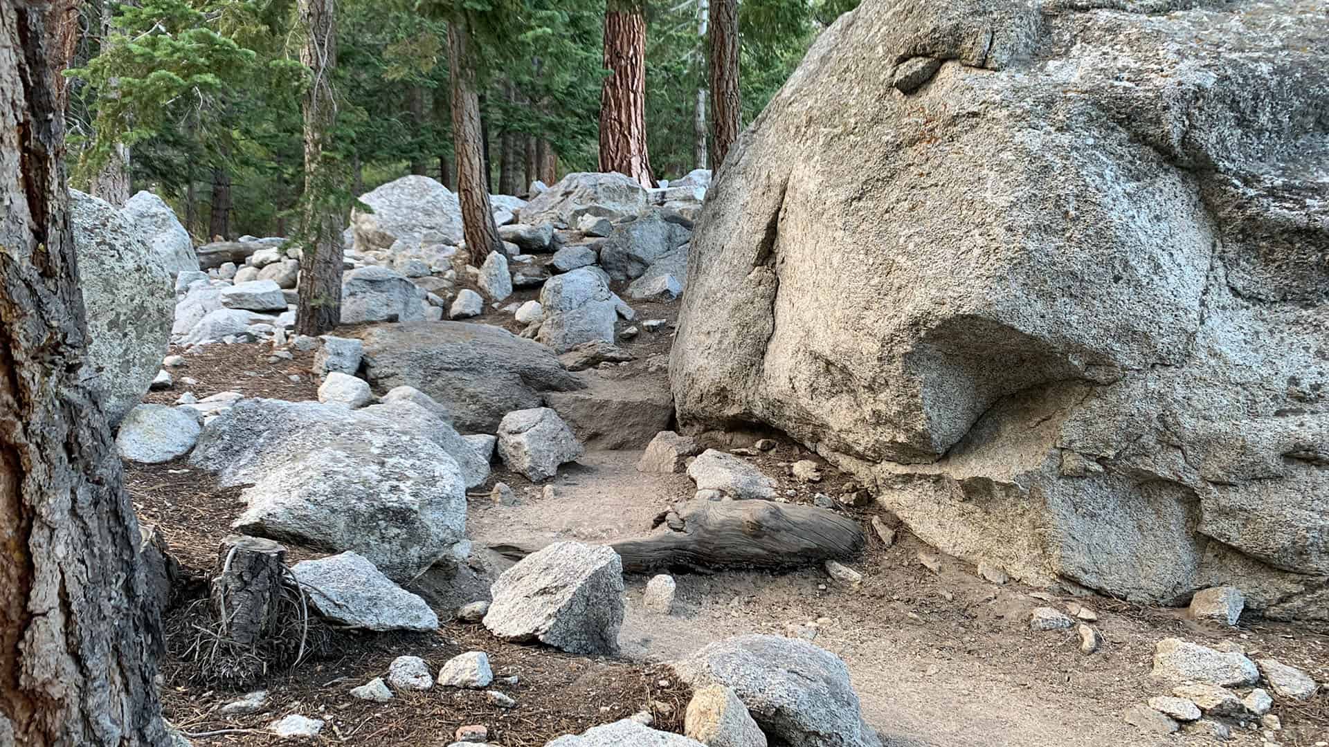
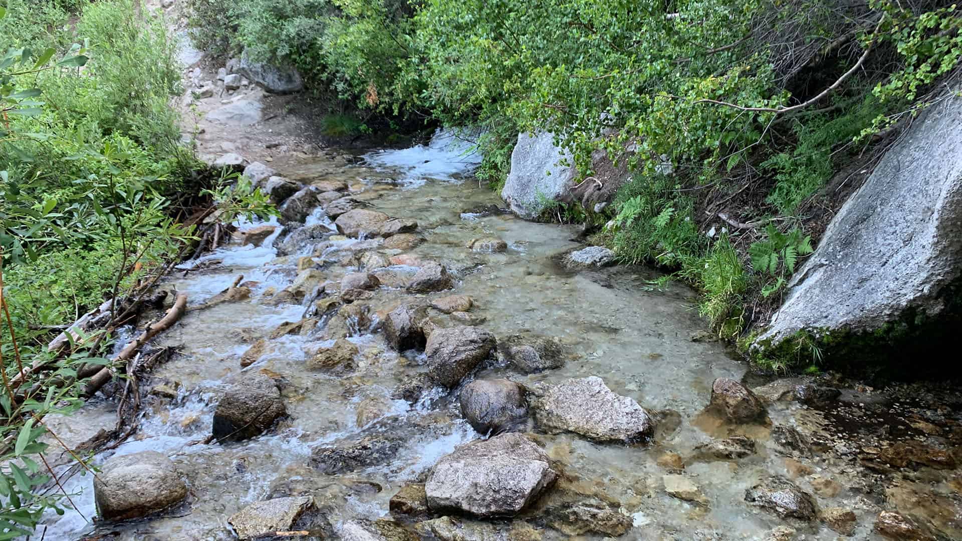
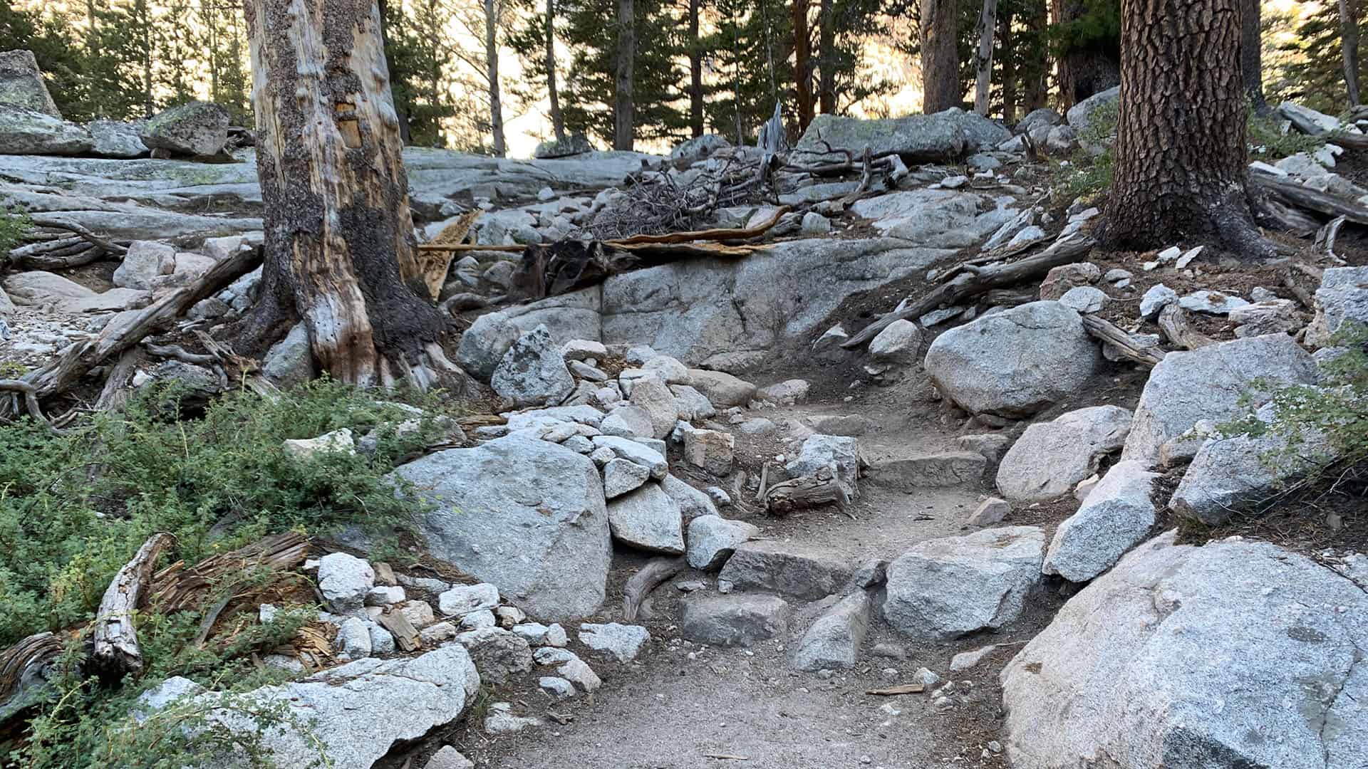
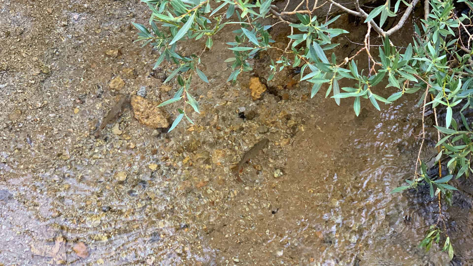
Although this isn't a long hike, I do recommend hiking gear if you have it, and fitness gear if you don't. You are in the mountains and conditions can change quickly, so bring a layer or two and rain shell. You can get away with 1L of water, and if you decide to drink from the streams or lakes, you should treat the water with a good filter. There are a few stream crossings. If you have trekking poles they will help you keep balanced as you cross the rocks.
Essentials I’m Using Now
- Garmin inReach Mini 2: Reliable SOS Everywhere on Earth
- Sawyer + CNOC Water Filter: Easy & Reliable Safe Water
- Nitecore NU25 Headlamp: Running late? Get home safe
- Altra Olympus 275: Favorite trail shoes right now, no blisters and very comfy.
- AllTrails Plus: Offline maps on your phone with the Plus level
- Full November 2025 Gear List →
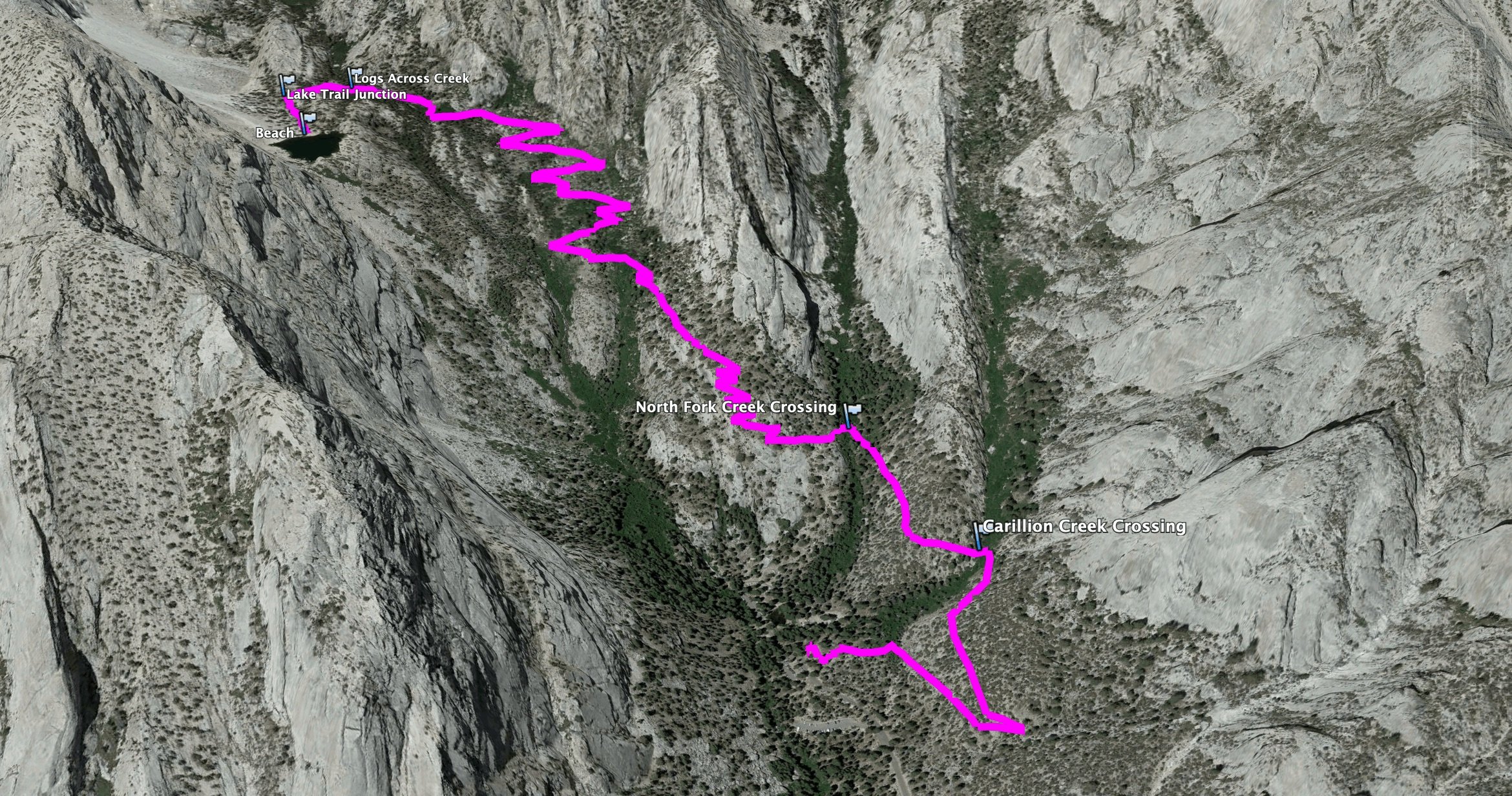
Lone Pine Lake Hike Trail Maps
Hike Landmarks
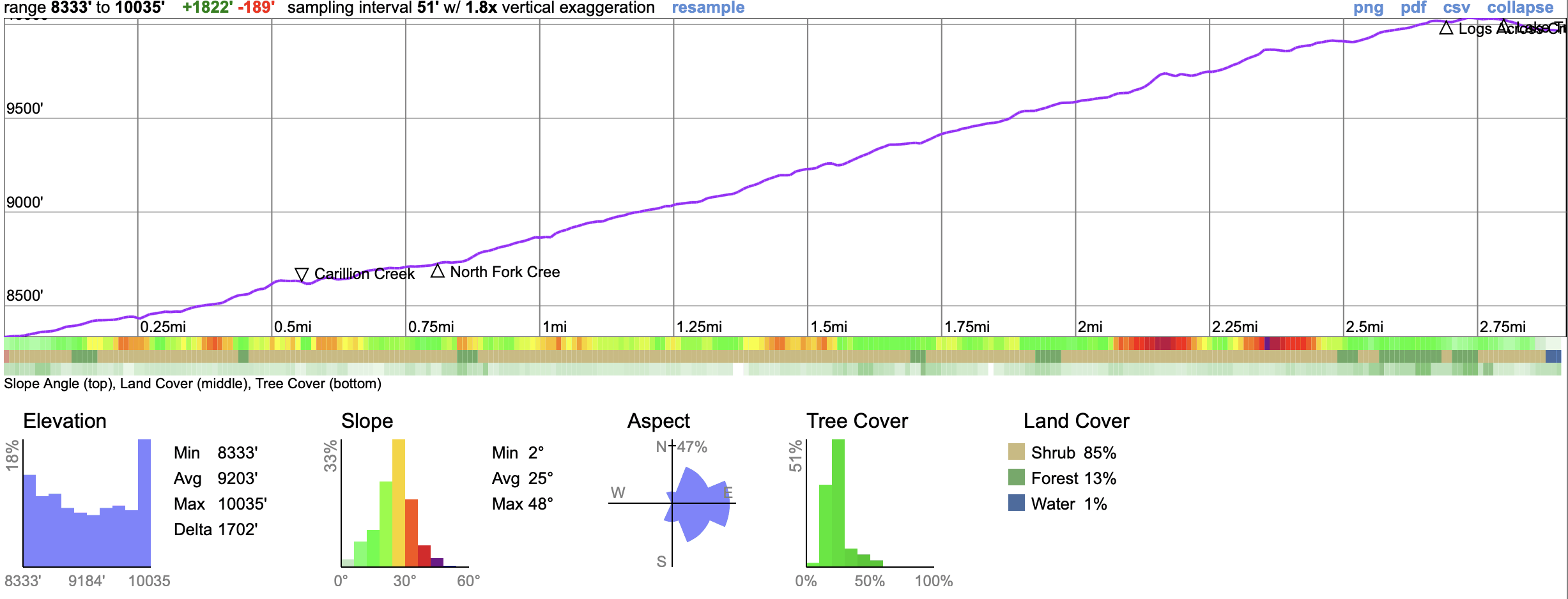
| Landmark | Distance | Elevation |
|---|---|---|
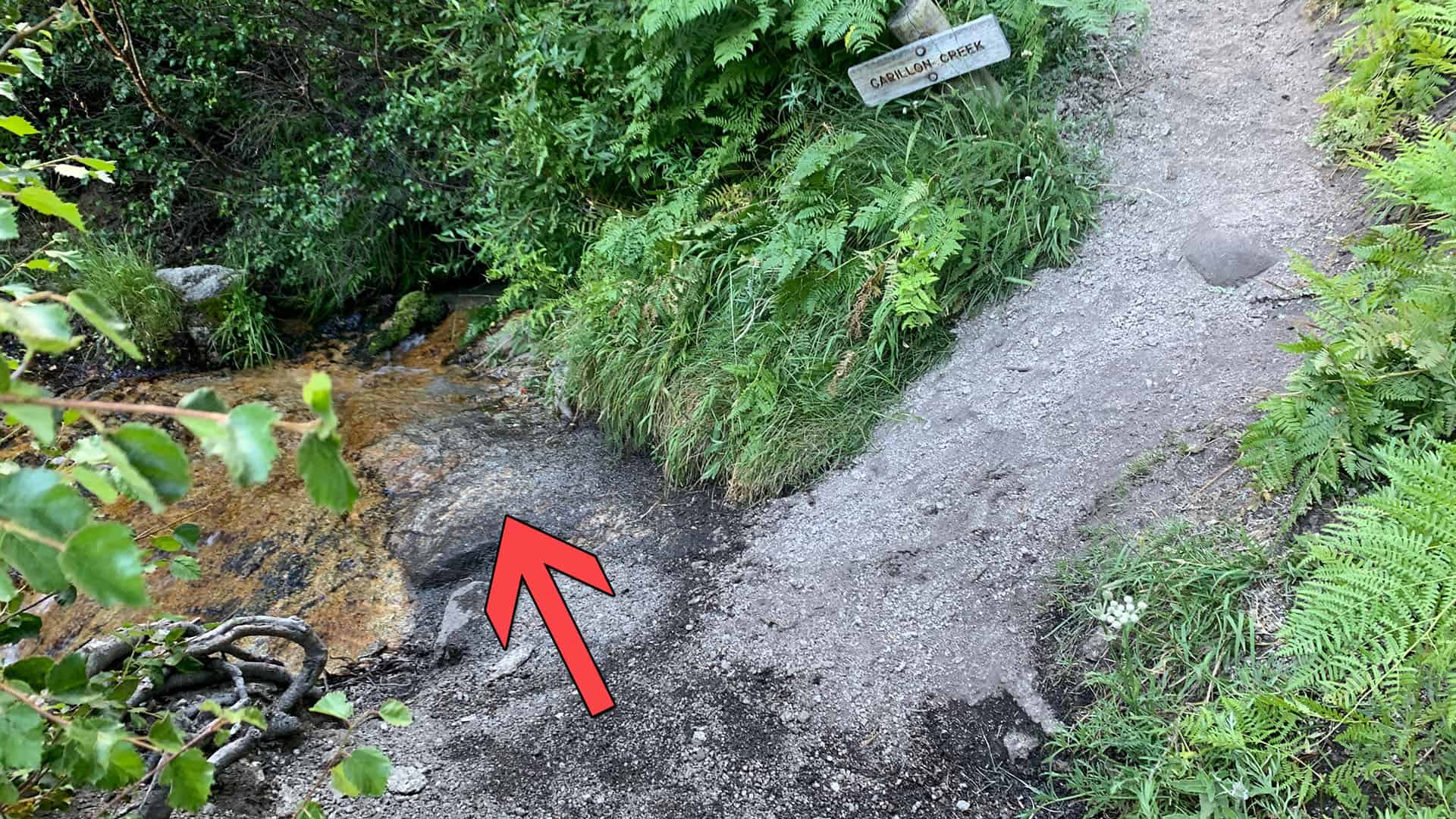
| Carillon Creek | 0.6 | 8620ft |
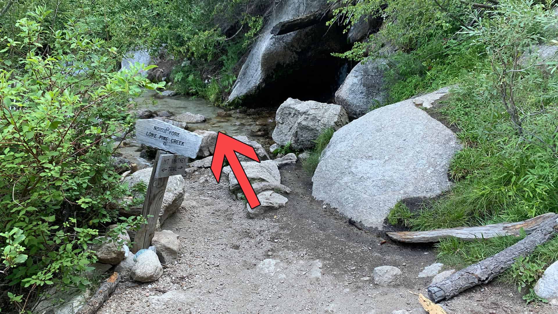
| North Fork Lone Pine Creek | 0.9 | 8730ft |
| Log Crossing | 2.6 | 10020ft |
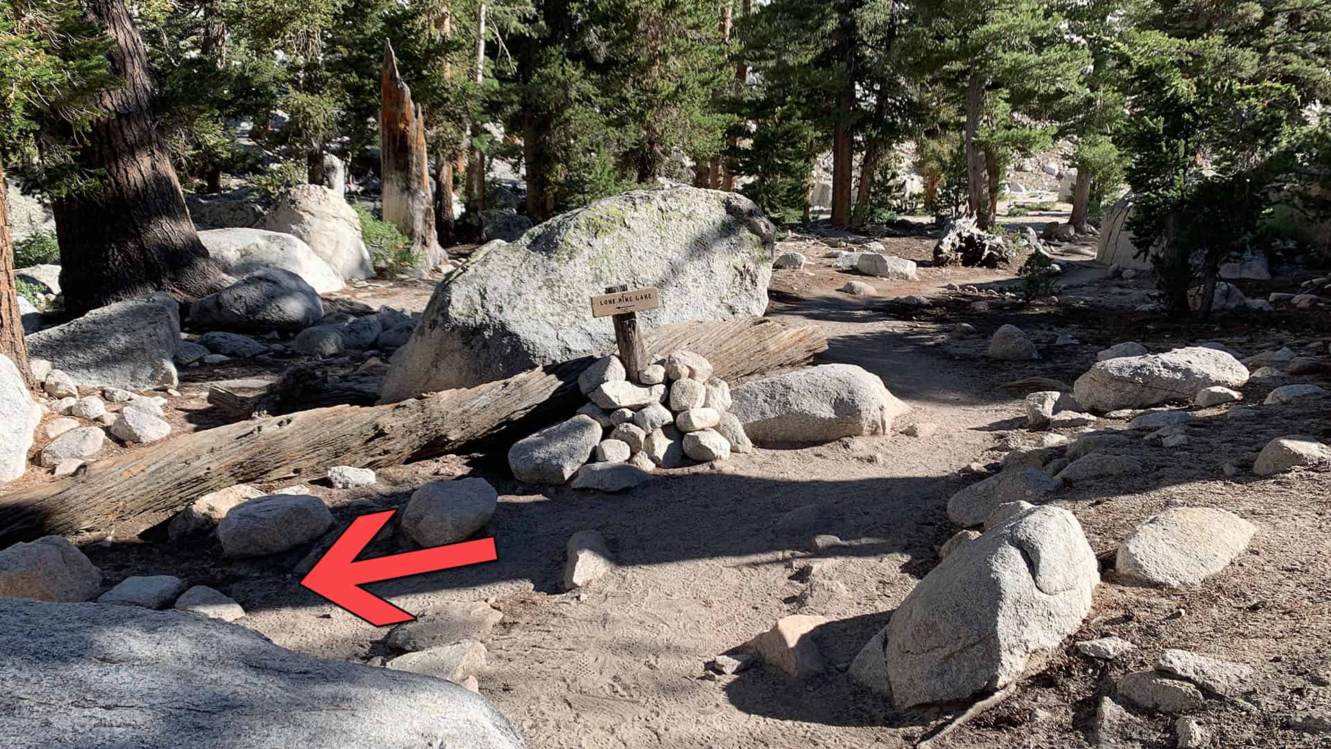
| Junction To Lake Trail | 2.8 | 10100ft |
| Lake | 2.9 | 10050ft |
Elevation Profile
Lone Pine Like Hike Directions

Originally published October 3, 2019