Limestone Canyon Regional Park - The Sinks
Hike Stats
- Total Distance
- 9 miles
- Time
- 3-4 Hours
- Total Climbing
- 850 feet
- Difficulty
- Moderate
- Crowds
- Quiet
- Dogs
- No Dogs
- Gear
- What I Use
- Weather
- Latest Report
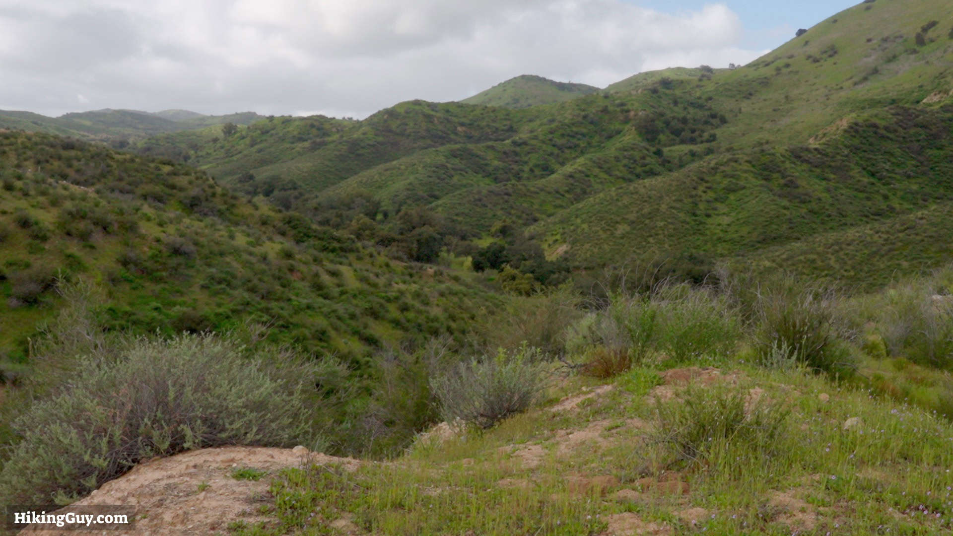
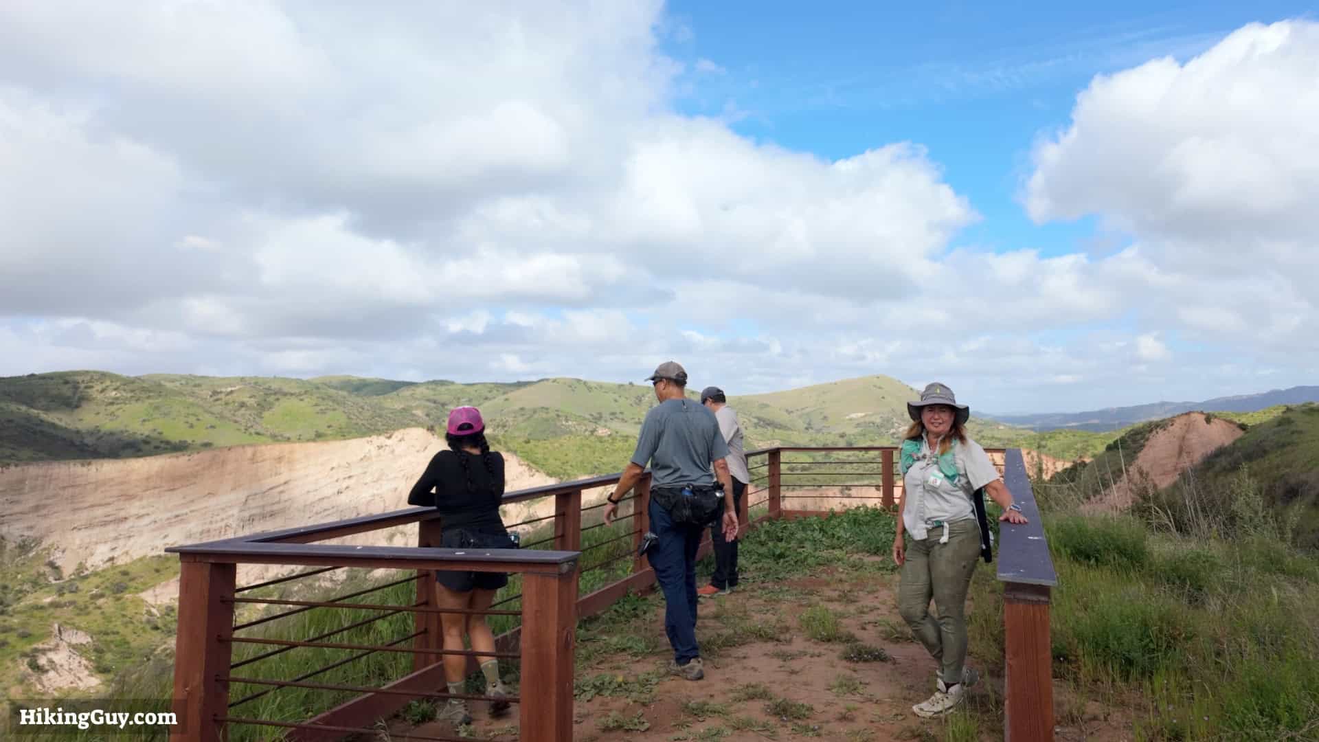
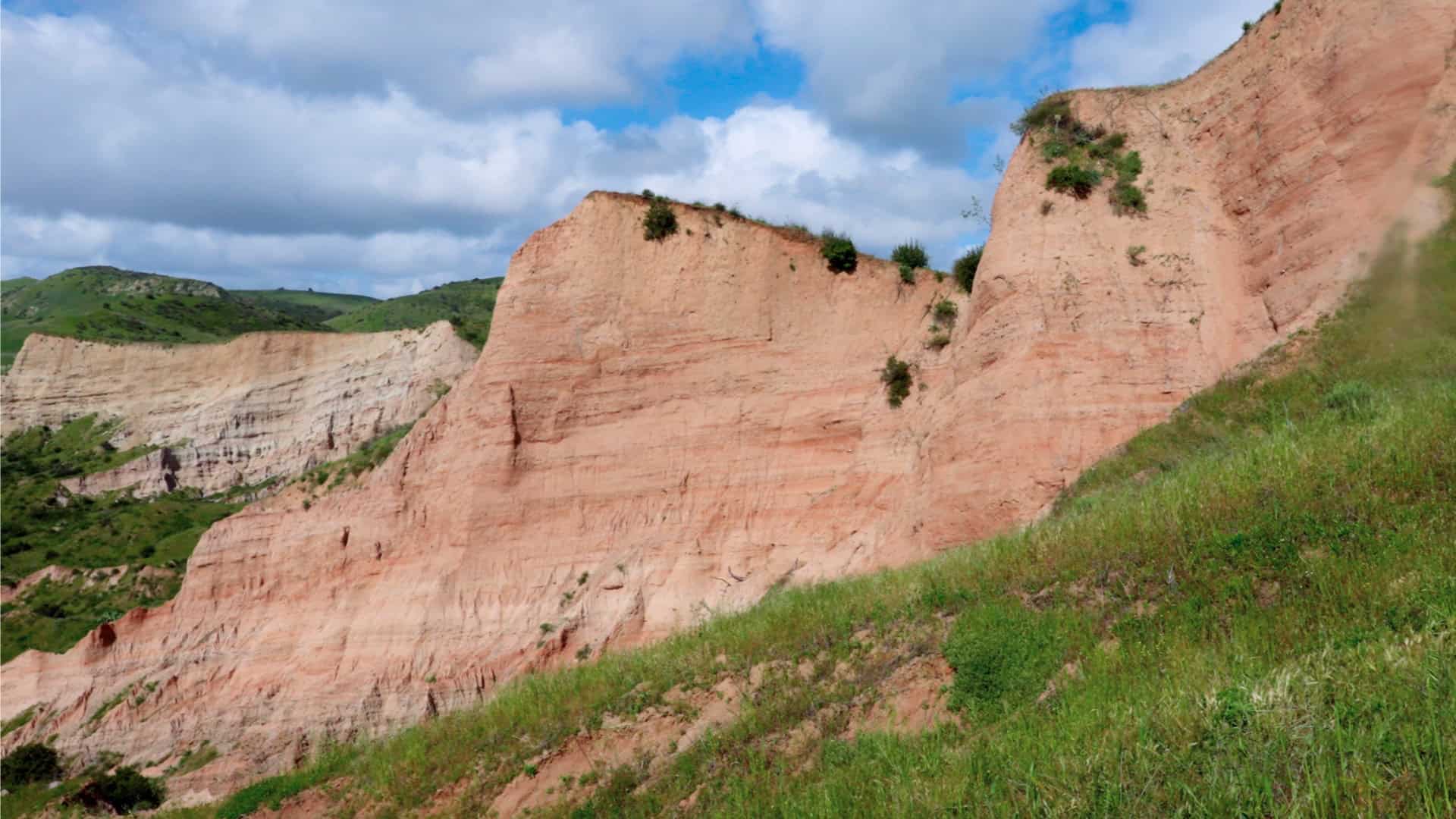
Limestone Canyon Regional Park is an incredibly beautiful area to hike, but it's also home to a famous area called 'The Sinks,' also known as 'the little Grand Canyon of Orange County.' Limestone Canyon is not always open to the public, but this easy trail guide will show you how to visit and see The Sinks for yourself.
Where is Limestone Canyon Regional Park?

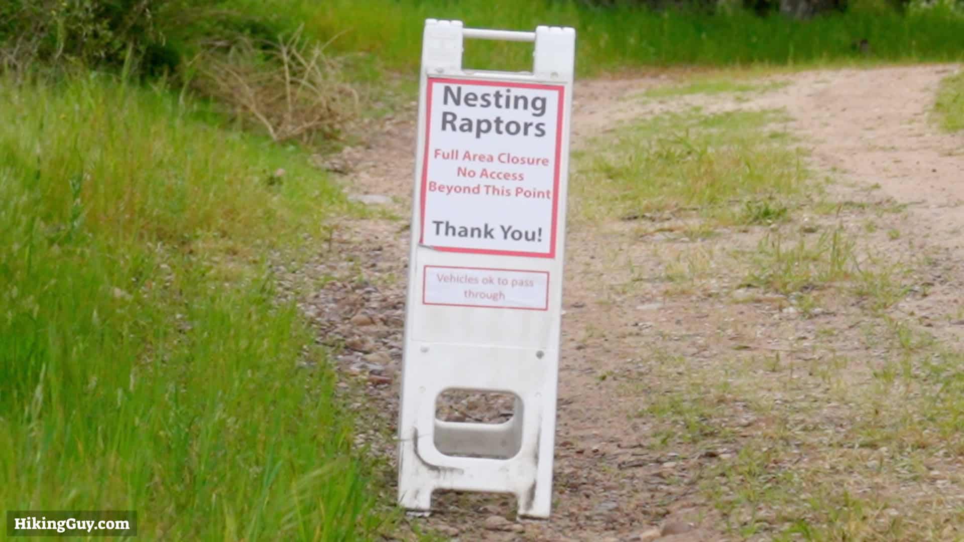
Before visiting Limestone Canyon Regional Park, you must register for an open event.
- Visit LetsGoOutside.org
- Go to "Activities" and filter by "Limestone Canyon Nature Preserve"
- Find a match for the day that you want to visit. There are two types of hikes.
- Open hikes allow you to pick any open trails you'd like and hike freely.
- Docent-led hikes are traditional group hikes led by an expert. These hikes are great because you'll usually get a guided tour along the way.
- Note that the hikes have difficulty ratings; you should find one that matches your level.
- Hikes can have different starting areas as well. The website has a downloadable map of the current trails and starting areas.
Gear Recommendations
When you pick your activity from the website, it will list how much water to bring, what type of shoes to wear, etc. You'll generally want hiking gear or fitness clothing and plenty of water. Summers and falls can be hot, while winter and spring can be lush and cool.
Essentials I’m Using Now
- Garmin inReach Mini 2: Reliable SOS Everywhere on Earth
- Sawyer + CNOC Water Filter: Easy & Reliable Safe Water
- Nitecore NU25 Headlamp: Running late? Get home safe
- Altra Olympus 275: Favorite trail shoes right now, no blisters and very comfy.
- AllTrails Plus (30% off): Offline maps on your phone with the Plus level
- Full December 2025 Gear List →
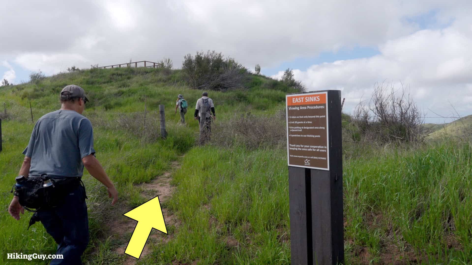
The Sinks Trail Map

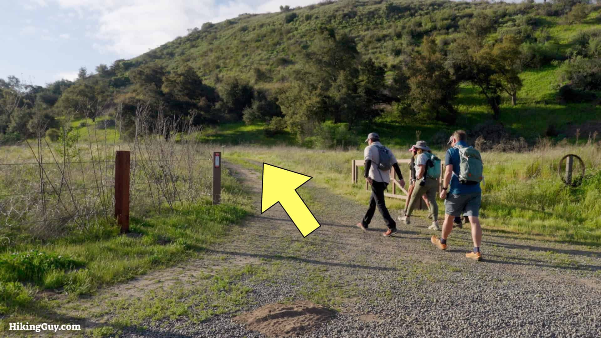
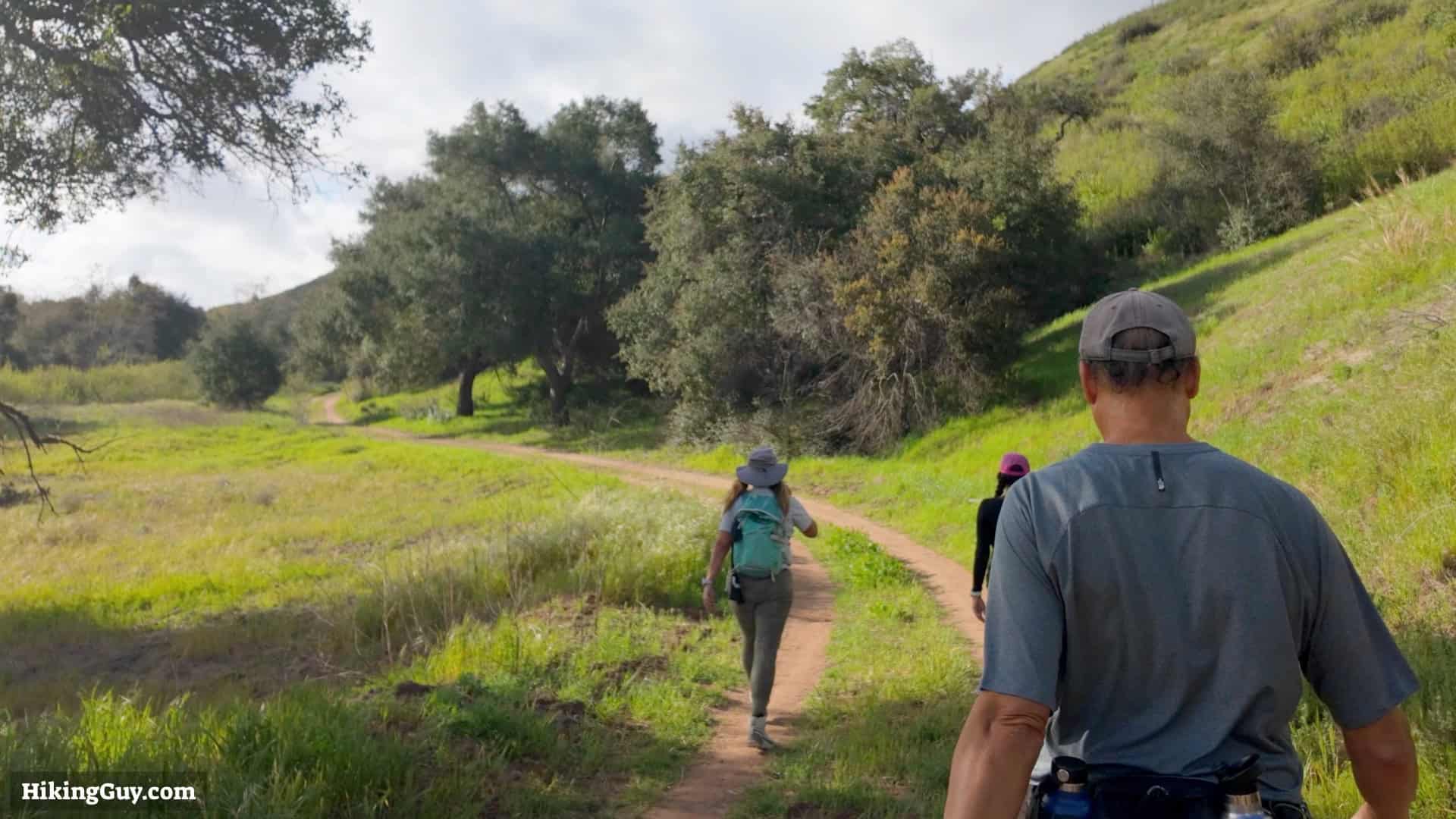
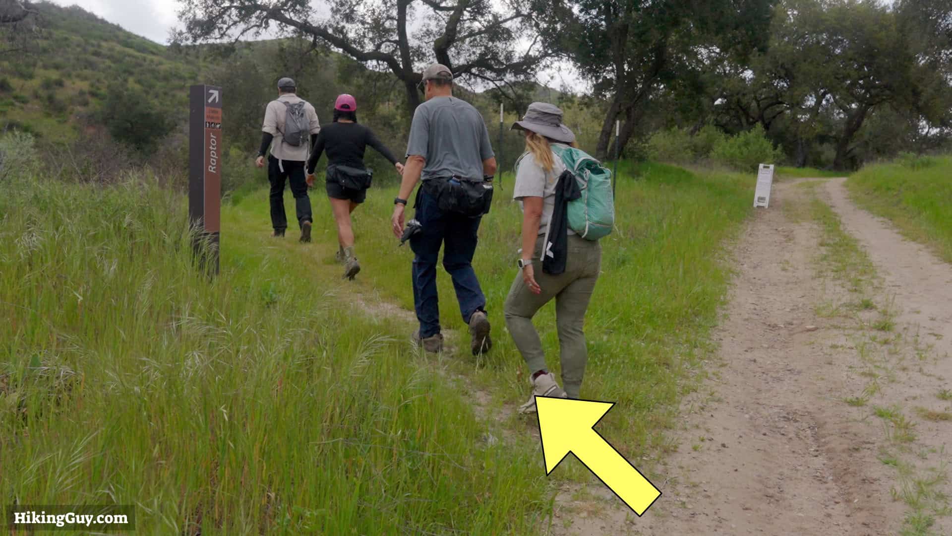
If you go on a general open day, I recommend hiking to The Sinks, aka the Mini-Grand Canyon, the main attraction. This guide has directions for that hike. There are many more trails and you could include others to choose your own adventure as well.
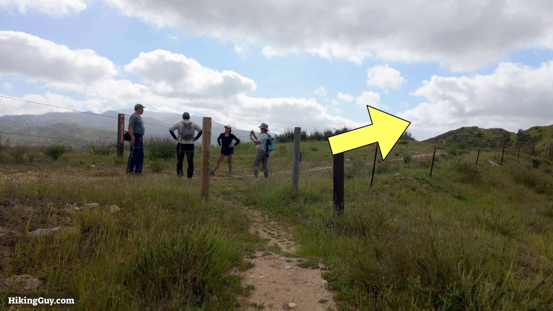
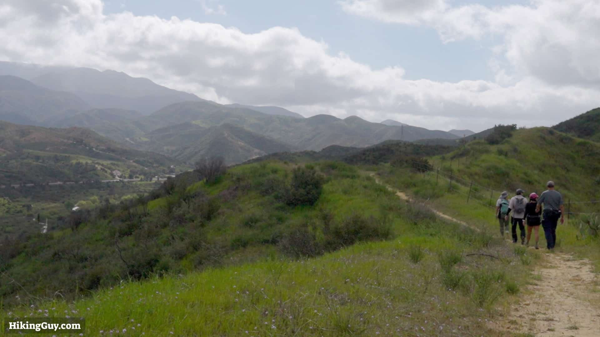
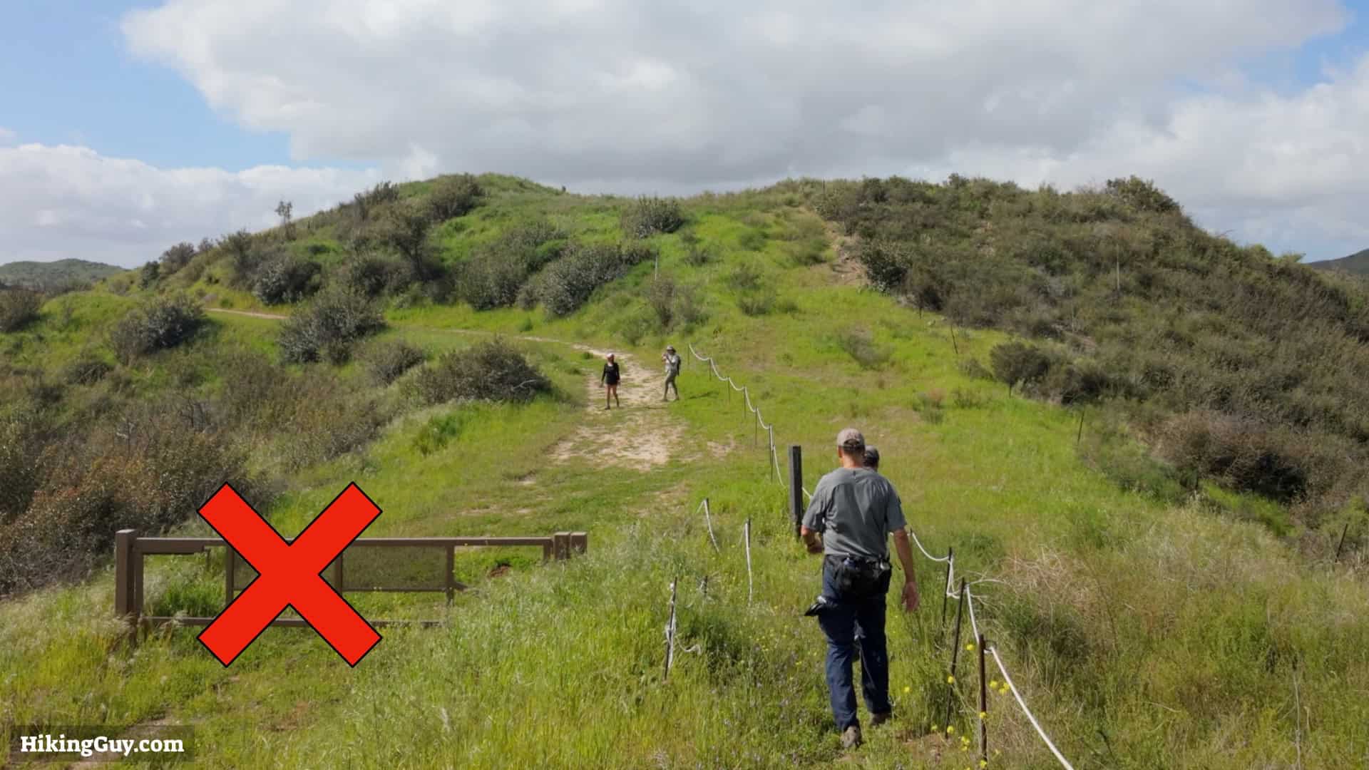
The Sinks Hike Directions