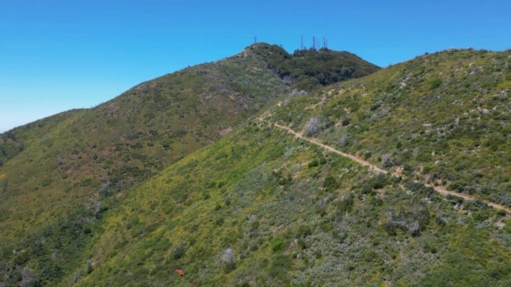

Hiking Saddleback Mountain takes you to the highest point in Orange County, Santiago Peak. It's also the highest point in the Santa Ana mountains at 5,689 feet. This hike takes the scenic Holy Jim Trail, the shortest route to the summit. Still, this is a long and challenging hike. Don't try this hike without a good level of fitness.
- Turn by Turn Hike Directions & Video
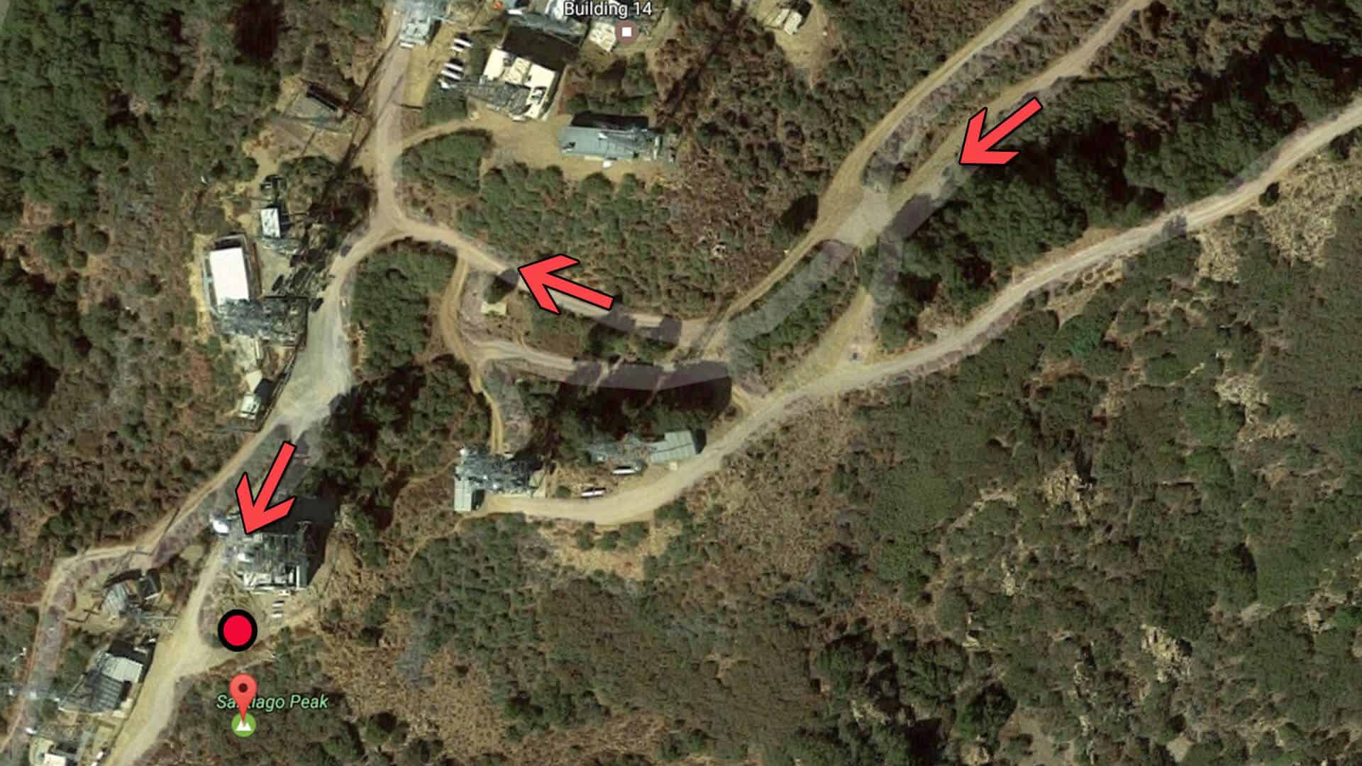
- Saddleback Mountain Trail Maps
- How to Get to the Saddleback Mountain Hike
How to Get to the Saddleback Mountain Hike
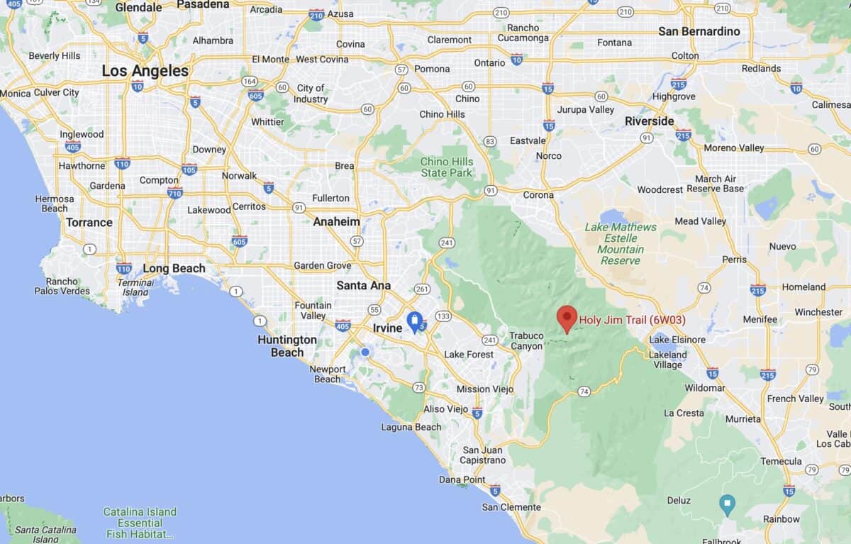
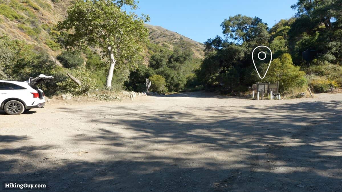
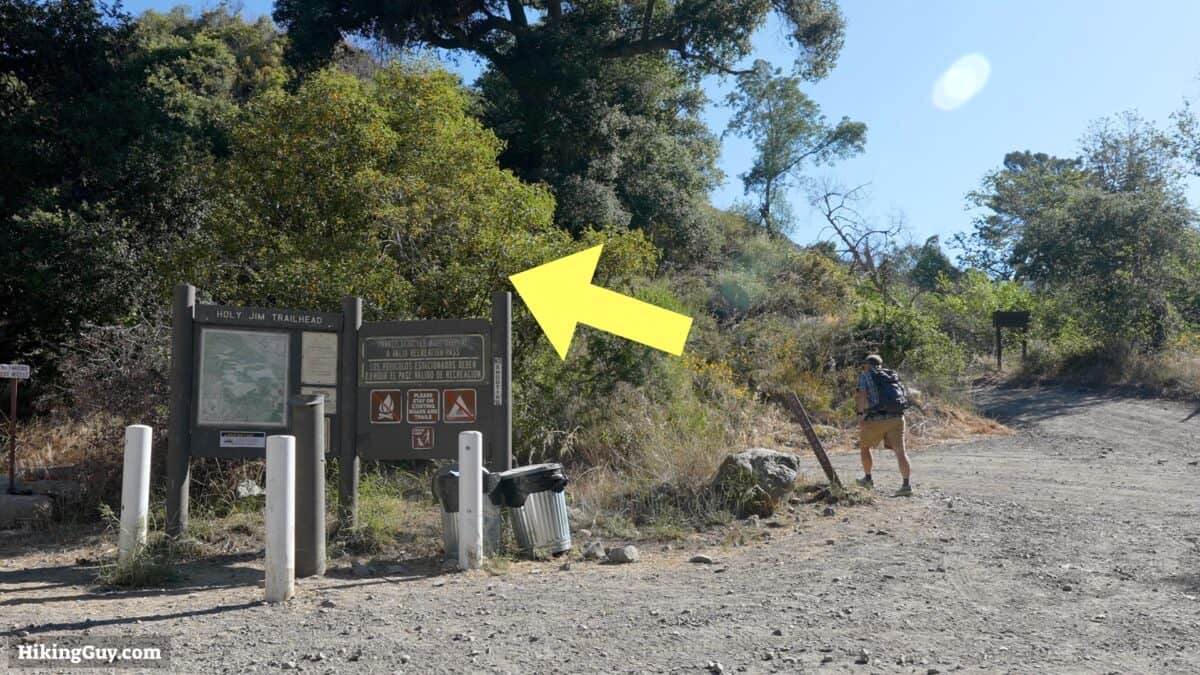
Use this address to get to the trailhead: Holy Jim Trailhead, Holy Jim Canyon Rd, Corona, CA 92883

You need a parking pass for the Cleveland National Forest. I use the affordable National Parks Pass, which gets me in every national park, national monument, and national forest. You can also use an (Southern California only) Adventure Pass, or buy a $5 day permit from the ranger's office.
Gear for the Hike
Santiago Peak is a proper backcountry hike, and you should be prepared with emergency gear and, ideally, a satellite SOS device. Trekking poles are helpful on the slopes. When it's warmer out, the temperatures can soar here in Cleveland National Forest, so ideally, pick a time in the winter to do the hike. I find 3L of water is enough, but when it's hot out, you'll want to cache more on the way up. Insect repellant helps keep the bugs away. There is usually a decent amount here when it's warmer out. The upper parts of the hike rarely get snow, but it can happen.
There is an unreliable water source at the end of the Lower Holy Jim Trail at Bear Springs. Expect some water in the spring and early summer, but otherwise, it's usually dry.
Gear That I Love Right Now
Nothing is sponsored or promoted, just the actual gear that I use.


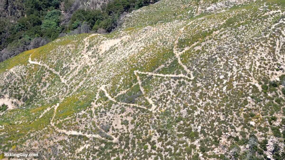
Saddleback Mountain Trail Maps
There are mountain bikers on all these trails, so keep your eye out and give them the right of way, especially on the narrow sections of the Holy Jim Trail.
How Will You Navigate?
 Using the Apple Watch for Hiking
 Garmin Fenix 7 & Epix Review For Hikers
 How To Read a Topographic Map
 Garmin GPSMAP 67i Review
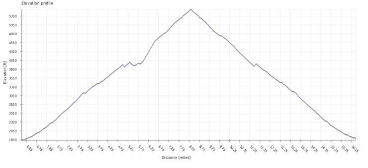
Saddleback Mountain is actually two peaks, Santiago Peak and the lower Modjeska Peak. Saddleback Mountain can be seen from most of Orange County and dominates the skyline. It's called Saddleback Mountain because the two peaks look like a saddle from most of Orange County. This hike goes to the higher Santiago Peak, but you can also hike to the lower Modjeska Peak.
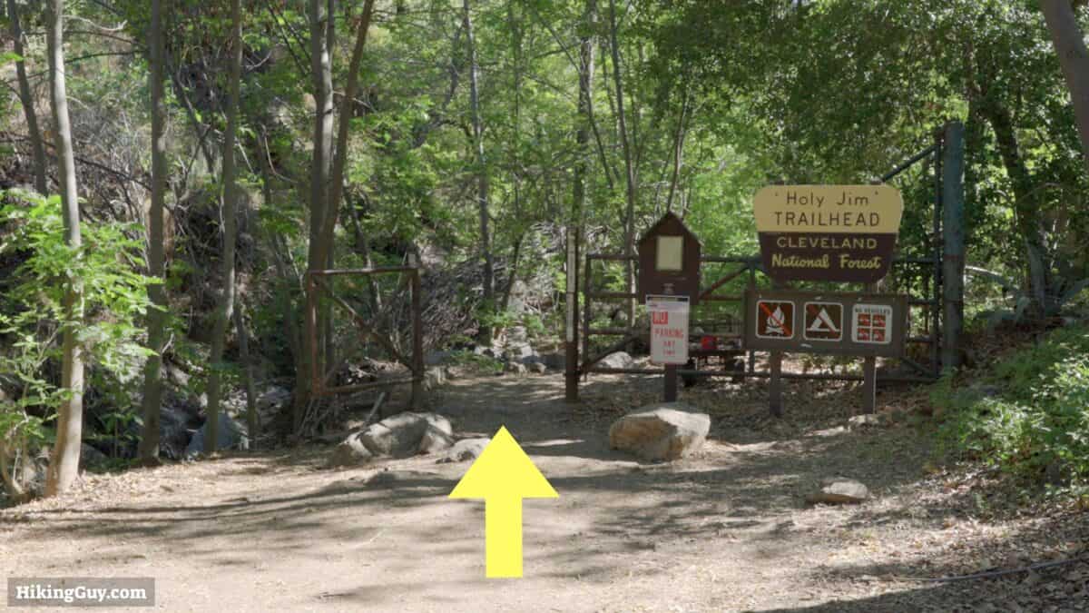
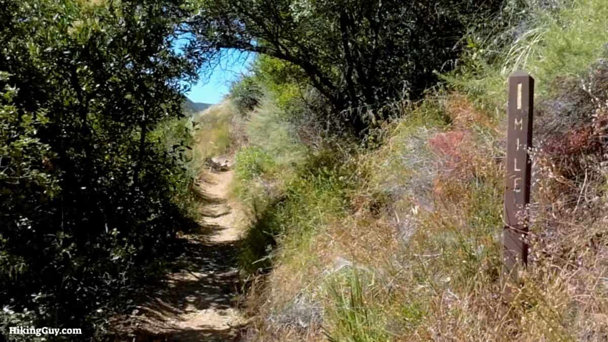
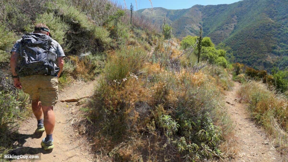
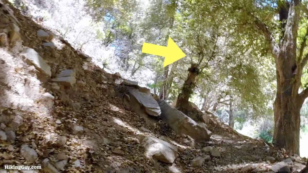
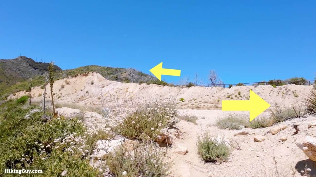
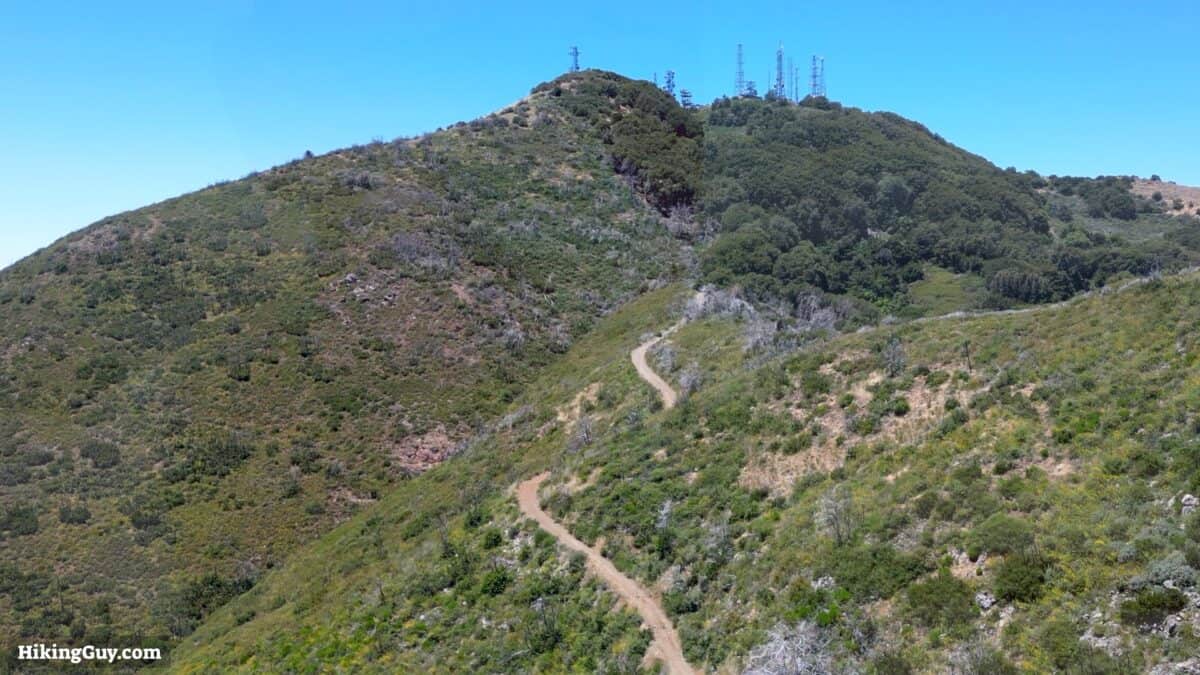
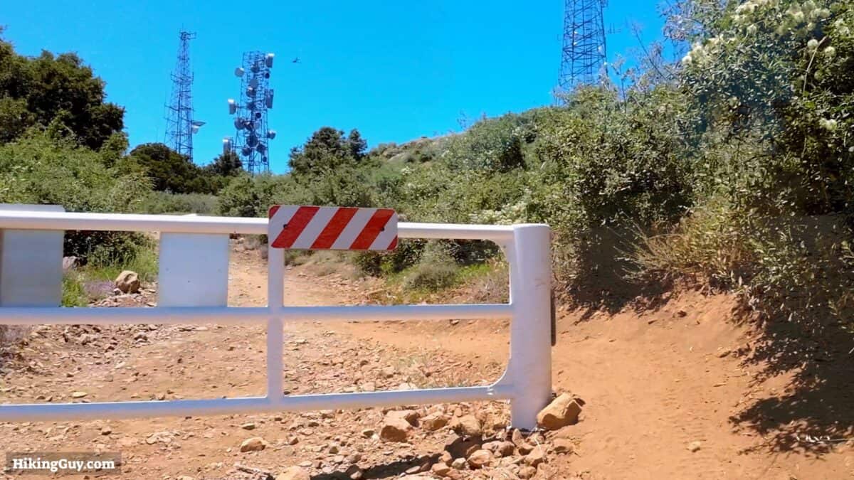
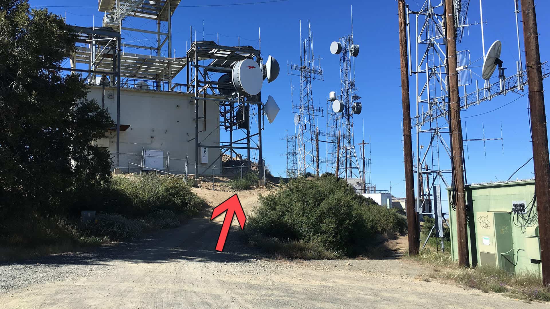
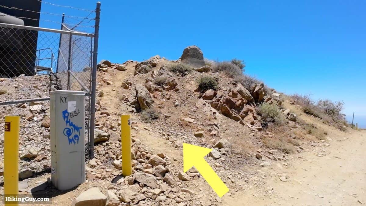
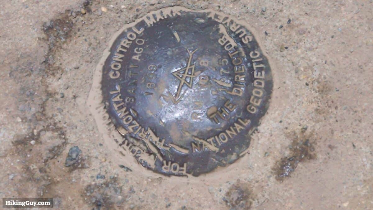
Saddleback Mountain Hike Directions

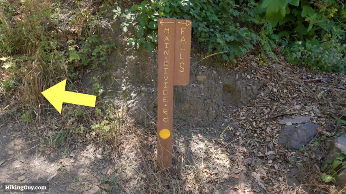
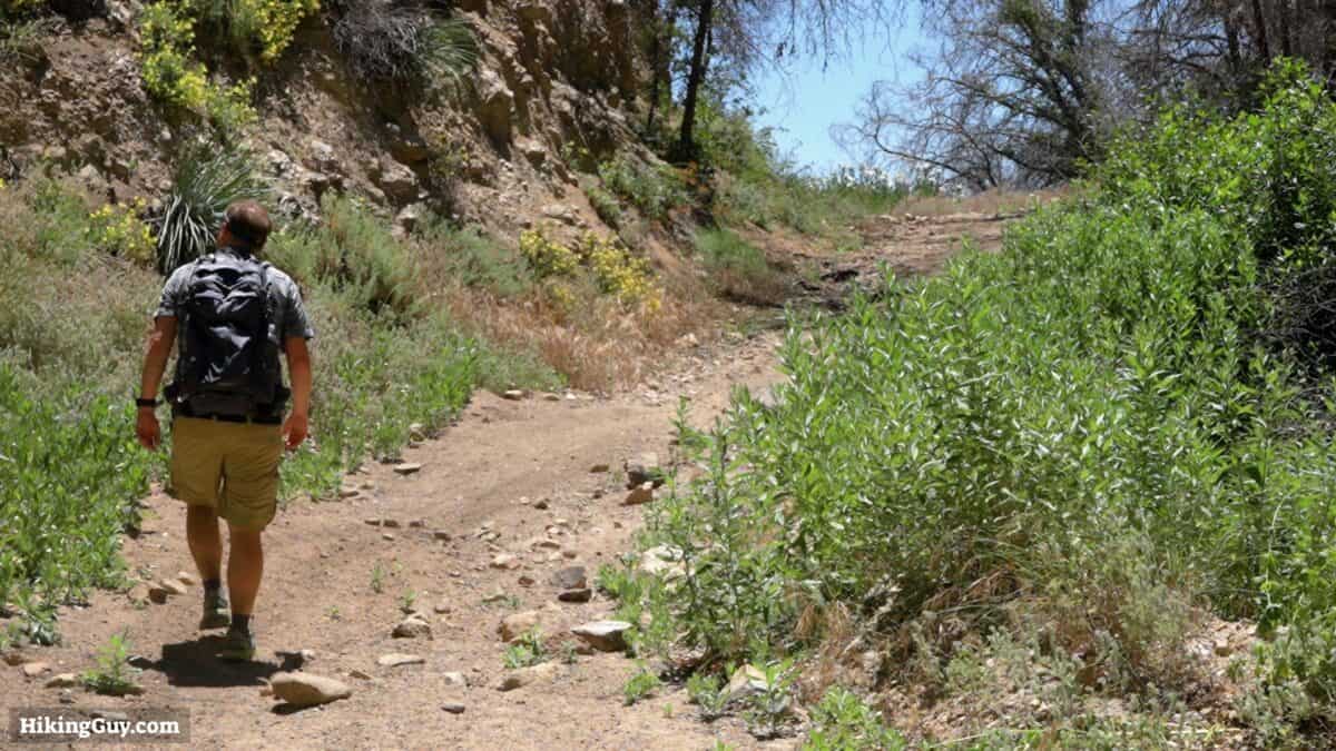

For an easier descent, skip the Upper Holy Jim Trail and just continue down Main Divide Road until you reach the intersection of Lower Holy Jim Trail.
Need More Info?
- Have a question about the guide or want to see what other people are saying/asking? View the Youtube comments for this video. Leave a comment and I will do my best to respond.
- When planning, always check the park website and social media to make sure the trails are open. Similarly, check the weather and road conditions.
Related Guides
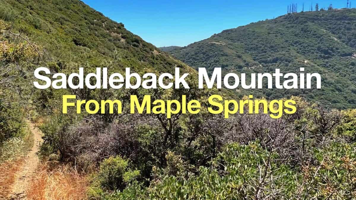 Hike Santiago Peak & Modjeska Peak From Maple Springs
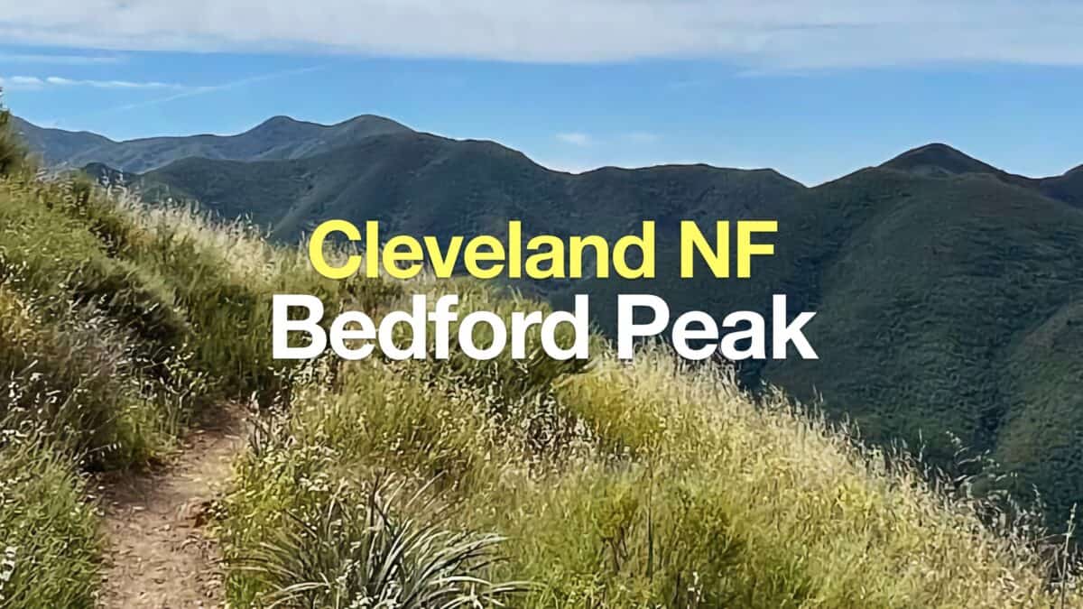 Hike the Bedford Peak Trail (Orange County)
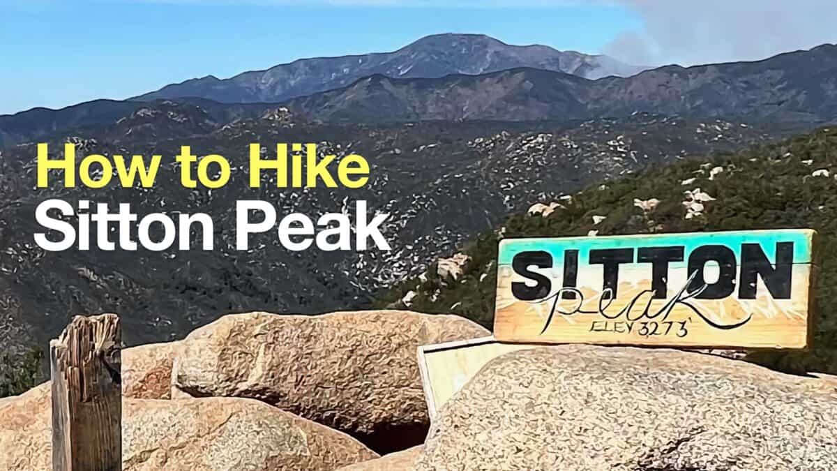 Sitton Peak Hike
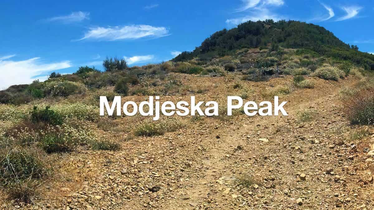 Modjeska Peak Hike
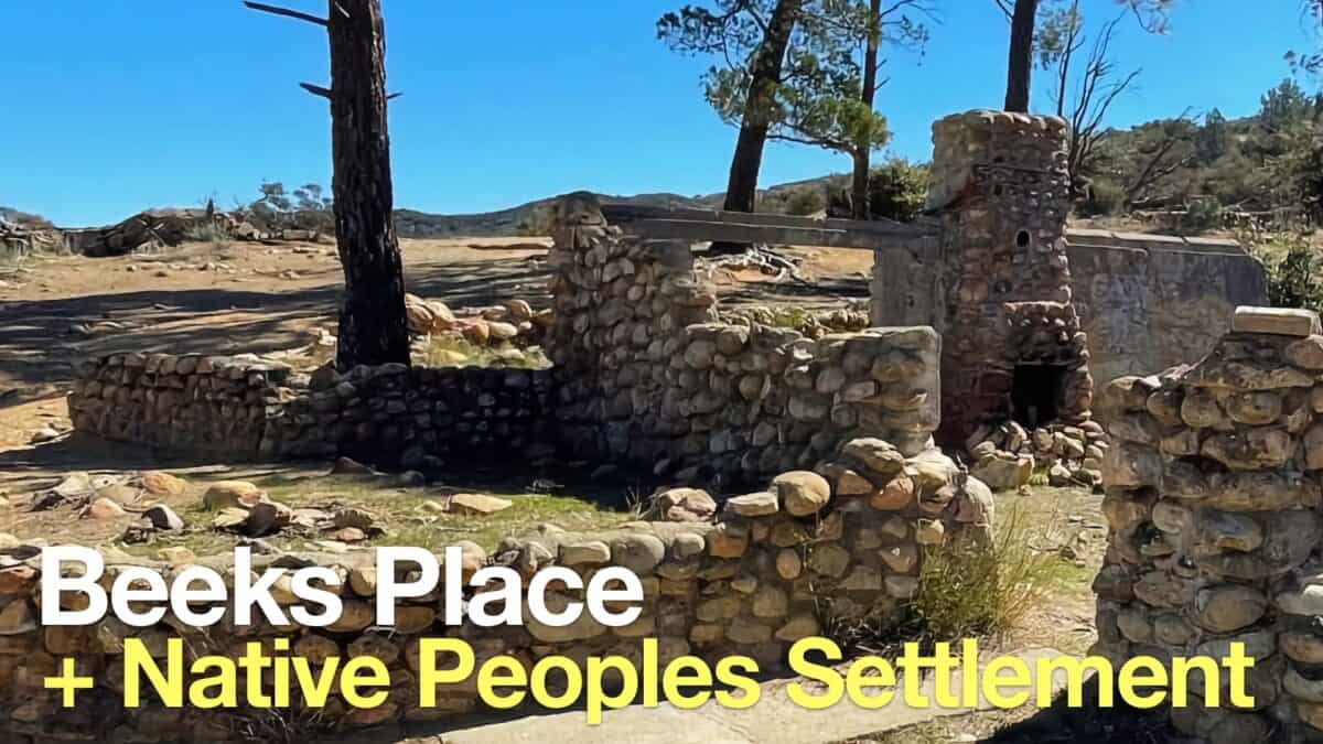 Beeks Place Hike From Black Star Canyon
 Hikes In and Around Orange County
 Cleveland National Forest Hiking
 Sierra Club 100 Peaks
Popular Guides
 Best Hiking Gear 2024
 Hiking Boots or Shoes: Do I Really Need Hiking Boots?
 When to Hit SOS on inReach
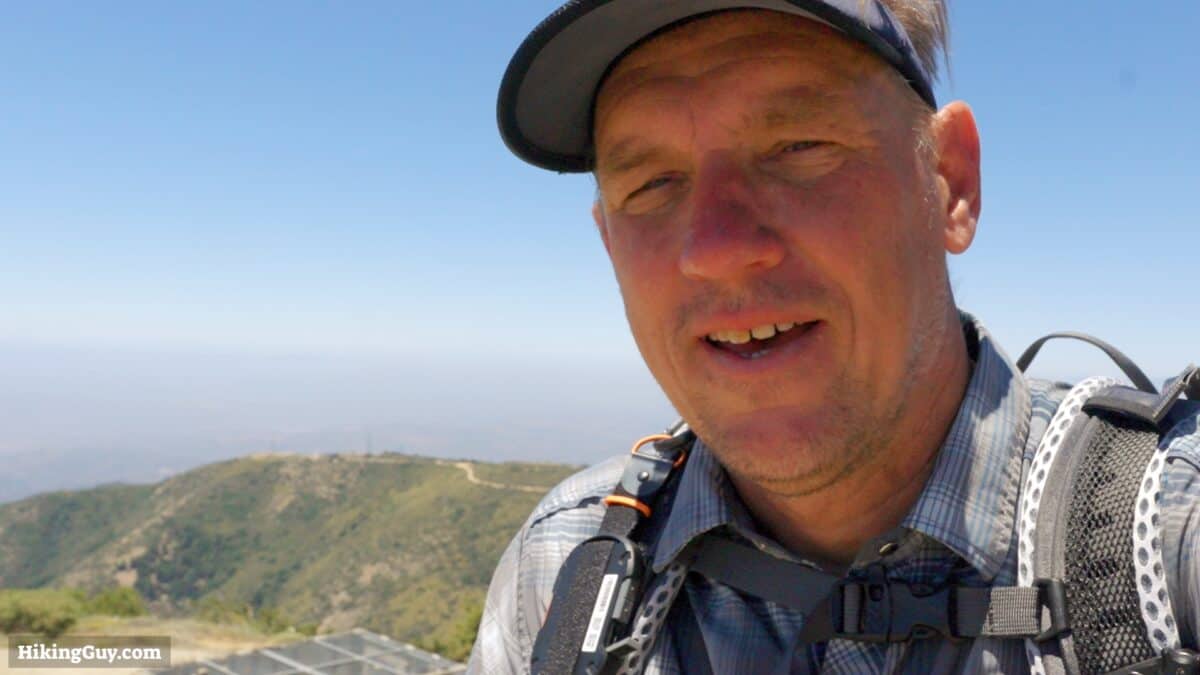
This Guide Was Written by Cris Hazzard

Hi, I'm Cris Hazzard, aka Hiking Guy, a professional outdoors guide, hiking expert, and author based in Southern California. I created this website to share all the great hikes I do with everyone else out there. This site is different because it gives detailed directions that even the beginning hiker can follow. I also share what hiking gear works and doesn't so you don't waste money. I don't do sponsored or promoted content; I share only the gear recommendations, hikes, and tips that I would with my family and friends. If you like the website and YouTube channel, please support these free guides (I couldn't do it without folks like you!). You can stay up to date with my new guides by following me on YouTube, Instagram, or by subscribing to my monthly newsletter.