
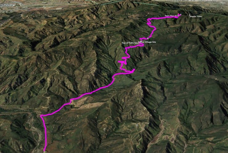
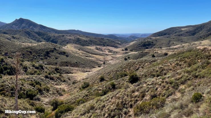
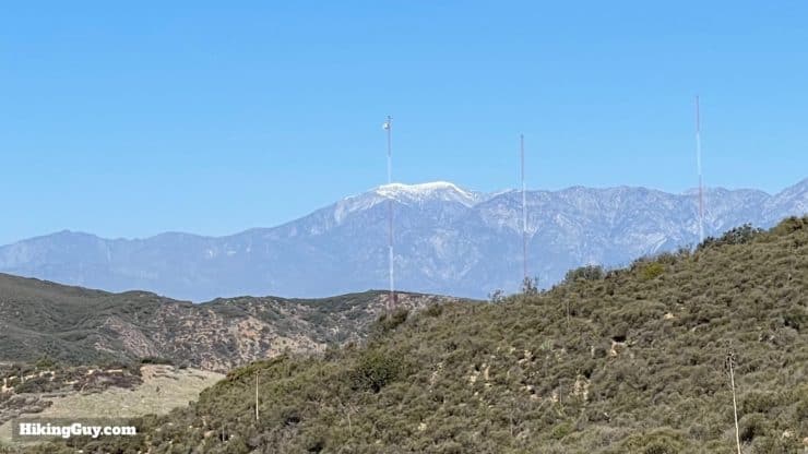
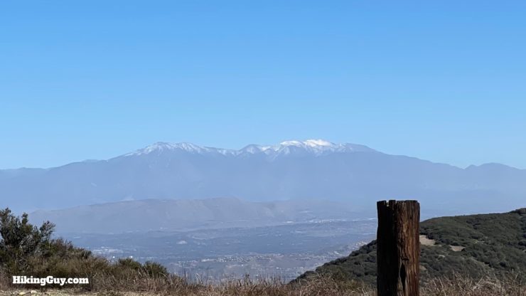
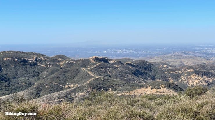
The Beeks Place hike takes you to the ruins of an old cabin compound built at a scenic spot high in the Santa Ana Mountains. From Beeks Place, you can see from San Gorgonio to Mt Baldy to Catalina. The hike is challenging, taking you 2000 feet up fire roads through the mountains, and along the way, you get epic views, hidden pastures, and even a Native American settlement. While Beeks Place might not be a big-name peak bagging experience, it is a nice long mountain hike that you can do all year.
- Video and Turn-by-Turn Directions to Beeks Place
- How to Get to the Beeks Place Hike Trailhead
- Maps, Recommendations, and Tips for the Hike
Where is the Beeks Place Hike?
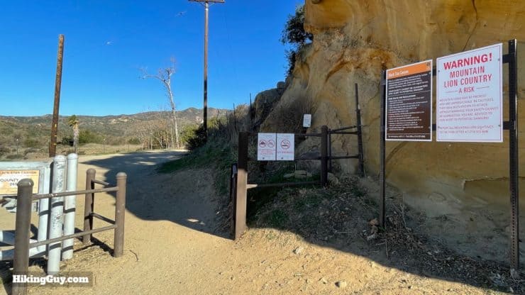
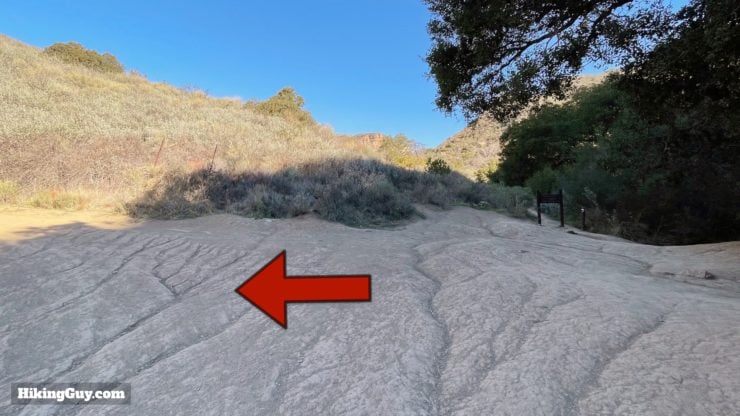
Beeks Place is just off Main Divide Road, the rugged dirt road that traverses the Santa Ana Mountains, and you can actually drive up there in a 4x4. But what fun would that be? We'll hike to it instead. The most popular hiking route to Beeks Place is up Black Star Canyon Road, and that's the route covered in this guide.
Use this trailhead address:
13333 Black Star Canyon Rd, Silverado, CA 92676
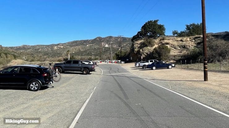
There are no bathrooms or water fills at the trailhead.
Gear for the Hike
This is a long hike in the mountains, so prepare accordingly. I don't recommend doing this hike when it's hot out. There's almost no shade once you leave the canyon, and the temperatures can be brutal in Cleveland NF. Either way, bring 3L of water, snacks, and sun protection.
Gear That I Love Right Now
Nothing is sponsored or promoted, just the actual gear that I use.


Check out the complete list here. ( Updated July 2024)
Beeks Place Hike Trail Maps
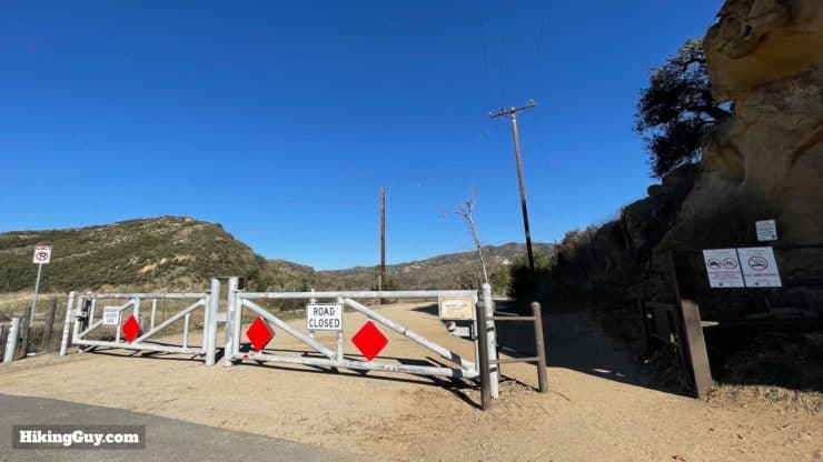
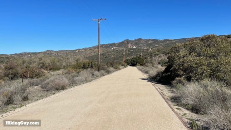
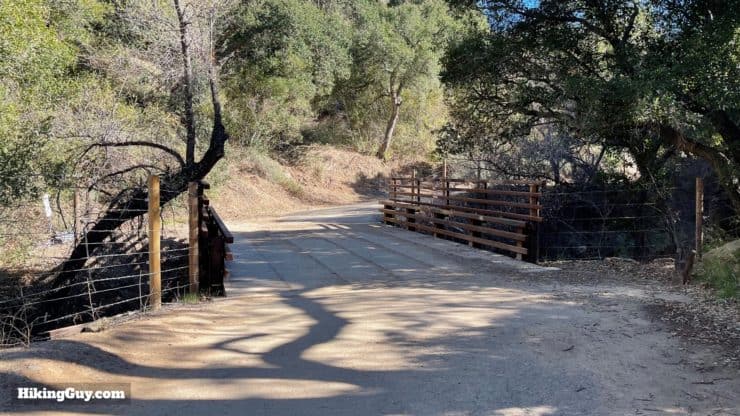
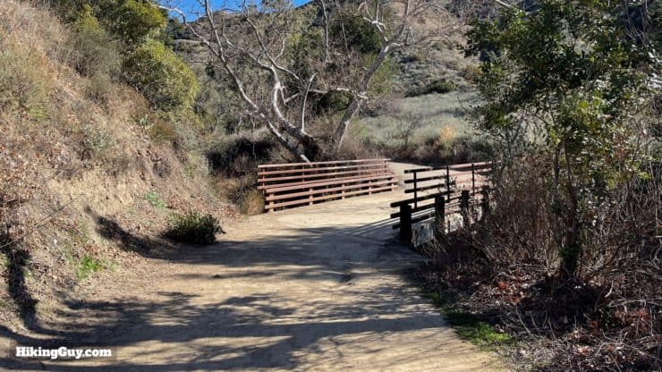
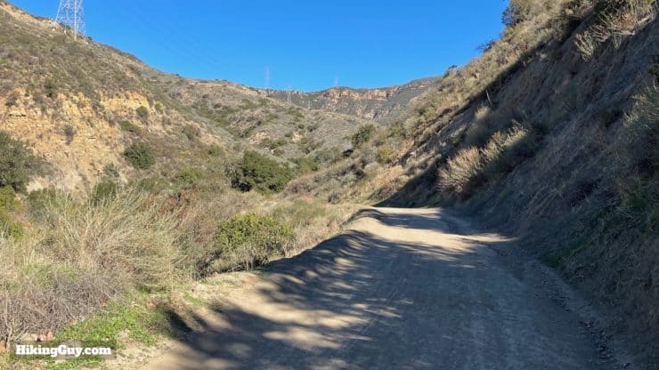
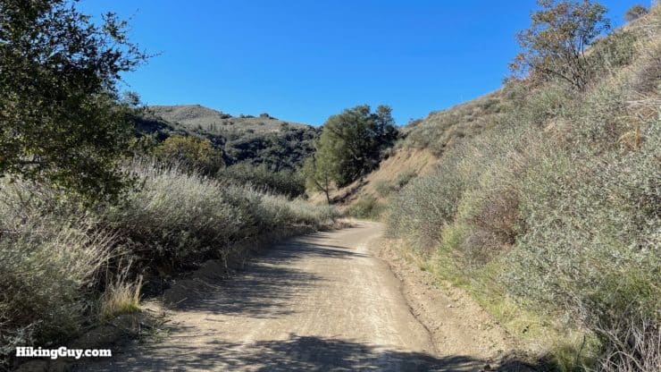
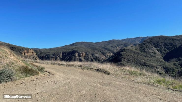
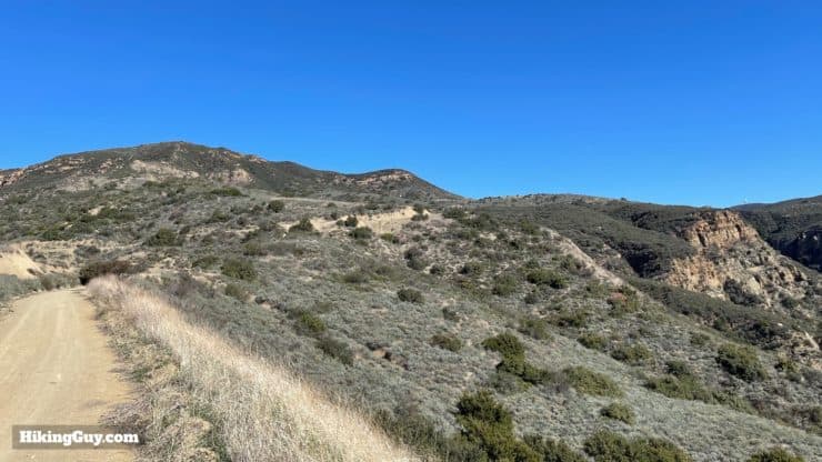
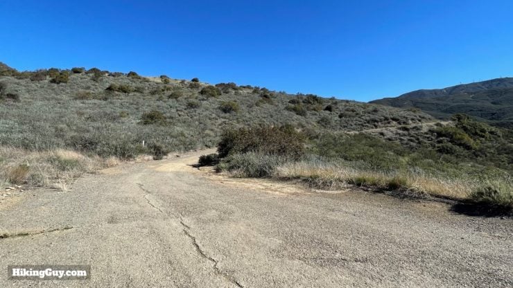
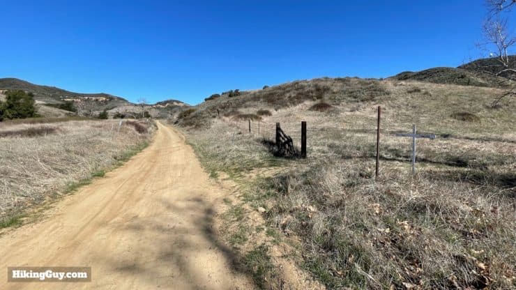
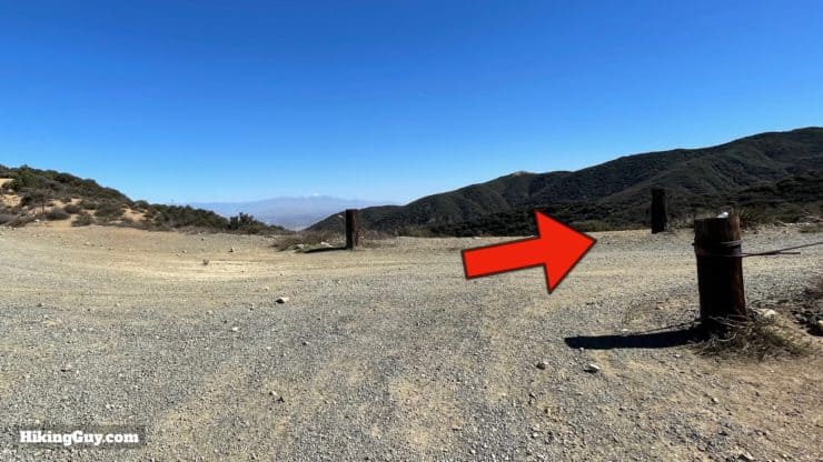
This hike follows fire roads up to Beeks Place. In general they are wide, graded gradually, and easy to follow. Despite the fact that the hike is on fire roads and not single-track, it's still scenic and fun. Just watch out for mountain bikers who often fly downhill here; there's a local challenge to ride to Beeks Place and back in an hour or less.
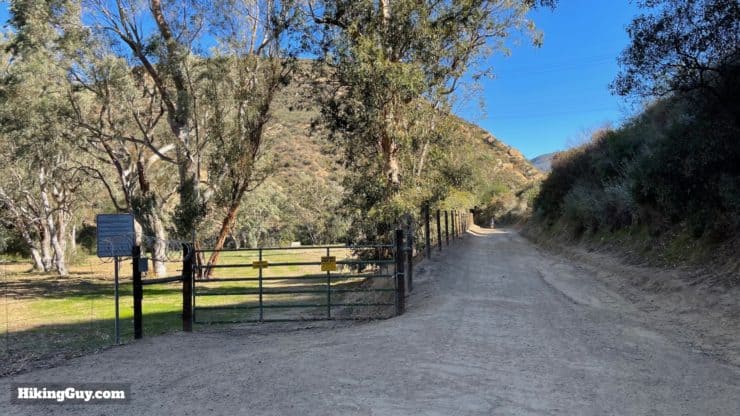
There are a number of private land parcels along the hike, especially on the beginning stretch. They are well-marked, fenced off, and often have multiple warning signs. Just stay on the main Black Star Canyon Road and you'll be fine.
How Will You Navigate?
 Using the Apple Watch for Hiking
 Garmin Fenix 7 & Epix Review For Hikers
 How To Read a Topographic Map
 Garmin GPSMAP 67i Review
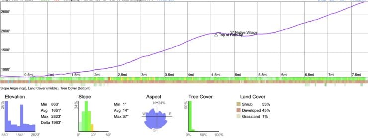
Elevation Profile
3D Map
Hike Brief
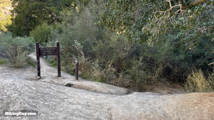
- There are lots of fun haunted Black Star Canyon stories, and you can dive deeper on them in my hike guide to the falls.
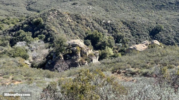
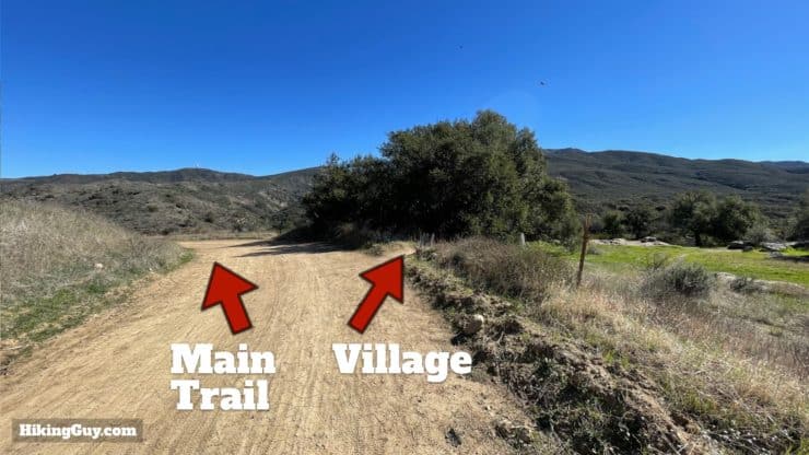
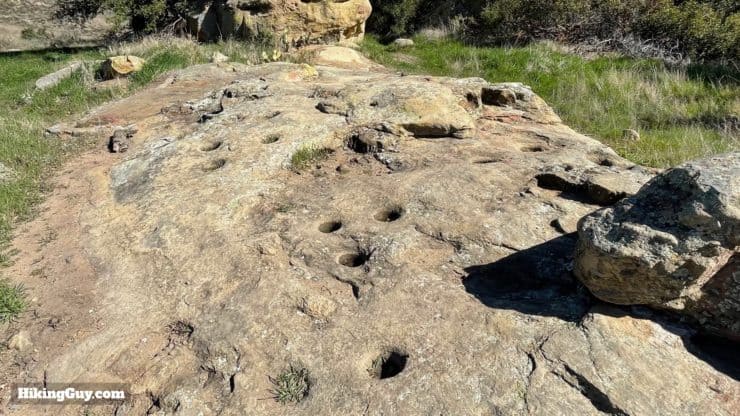
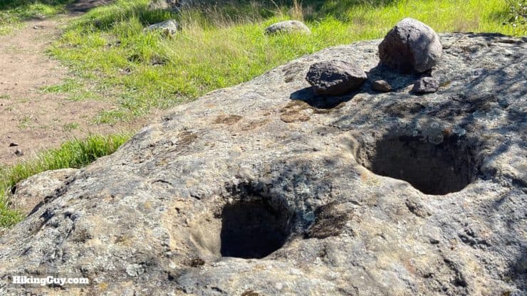
- In the middle of the hike you can visit a Native American settlement where the Tongva people would grind acorns and hunt the wildlife that came to drink in the creek. The settlement was allegedly the site of a massacre when local whites accused the people living there of stealing horses.
- A few minutes past the settlement is Hidden Ranch, which is where in 1899 the owners got into a dispute about money owed (about $550 in today's dollars) and ended up killing someone. The trial was a big deal and the ranch owners ended up getting out free. If you want to dive deeper, see if your library has Shadows of Old Saddleback, which has a good history of the area.
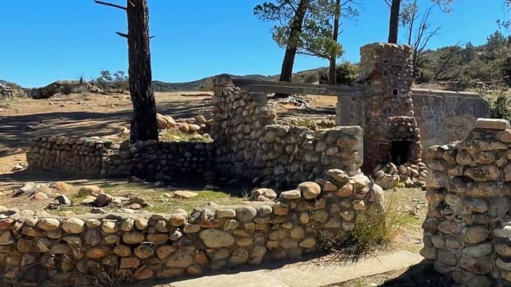
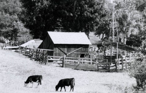
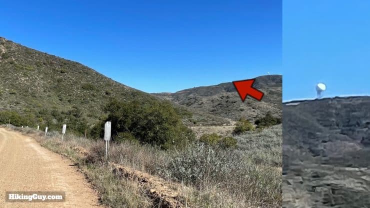
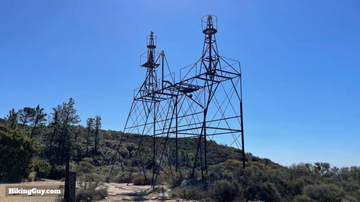
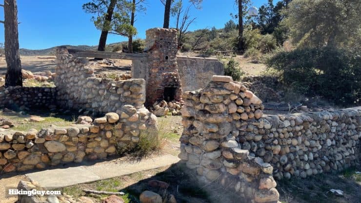
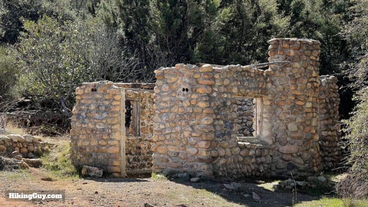
- And then there's Beeks Place. The first cabins were built in 1929 by Joe Beek, the the longest-serving Secretary of the Senate in California history (1919–68), and the guy who was attributed with developing the Balboa Peninsula in Newport Beach as a tourist attraction. The cabins once had a pool and wind-powered electricity. In the 1970s Main Divide road opened automobile access to Beeks Cabin, and vandals would come and steal, shoot, and destroy the cabins. Eventually they were abandoned. And today, according to this brochure, you actually buy it. It's a bit of a fixer-upper.
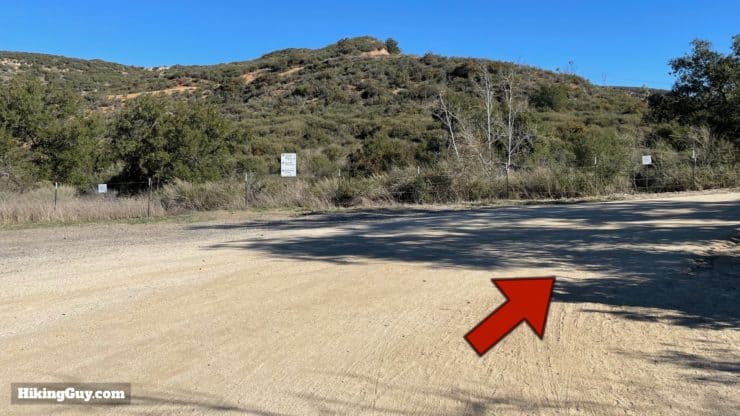
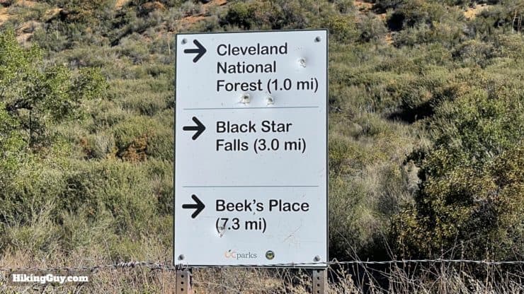
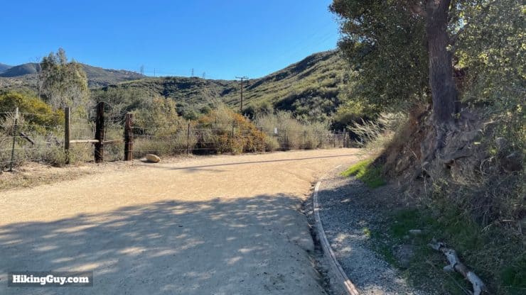
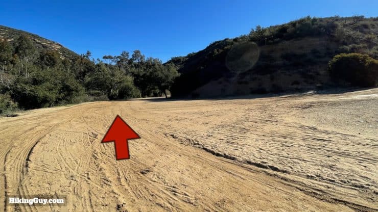
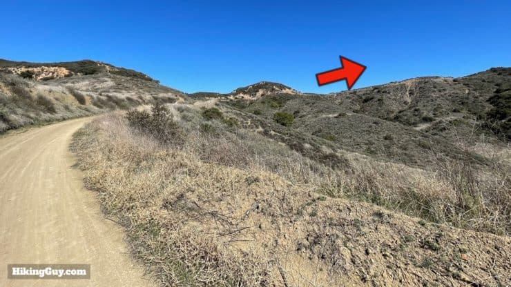
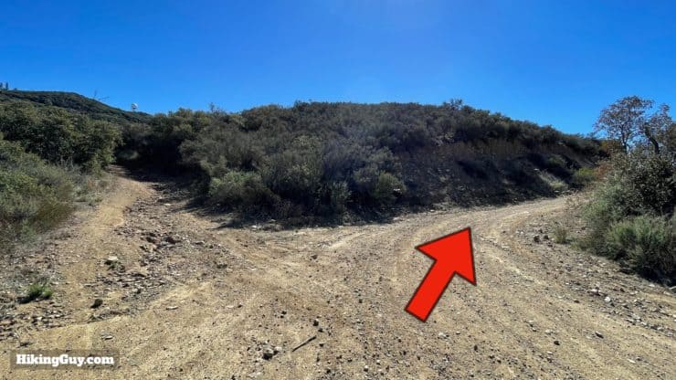
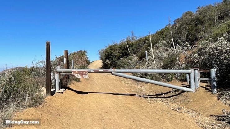
Beeks Place Hike Directions
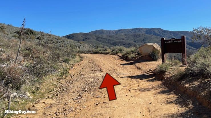
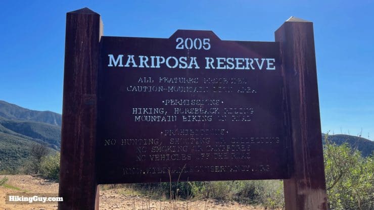
The Mariposa Reserve is owned by the Wildlands Conservancy, a great non-profit organization that protects natural spaces. Wildlands also hosts great hikes like the Santa Margarita River Trail, Whitewater Preserve, and Mission Creek Preserve.
Need More Info?
- Have a question about the guide? Join my Patreon and ask me a question.
- When planning, always check the park website and social media to make sure the trails are open. Similarly, check the weather and road conditions.
- Do you have an update to this guide? View the Youtube comments for this video. Leave a comment and I will do my best to update the guide.
Related Guides
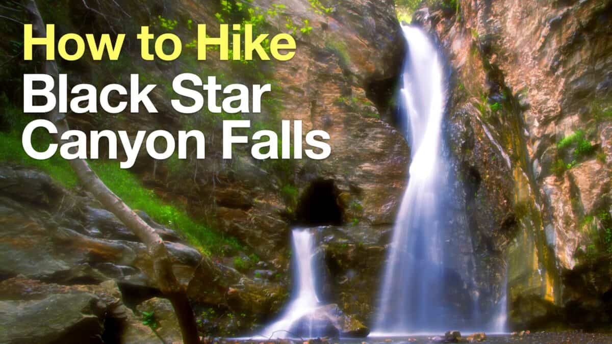 How to Hike Black Star Canyon Falls
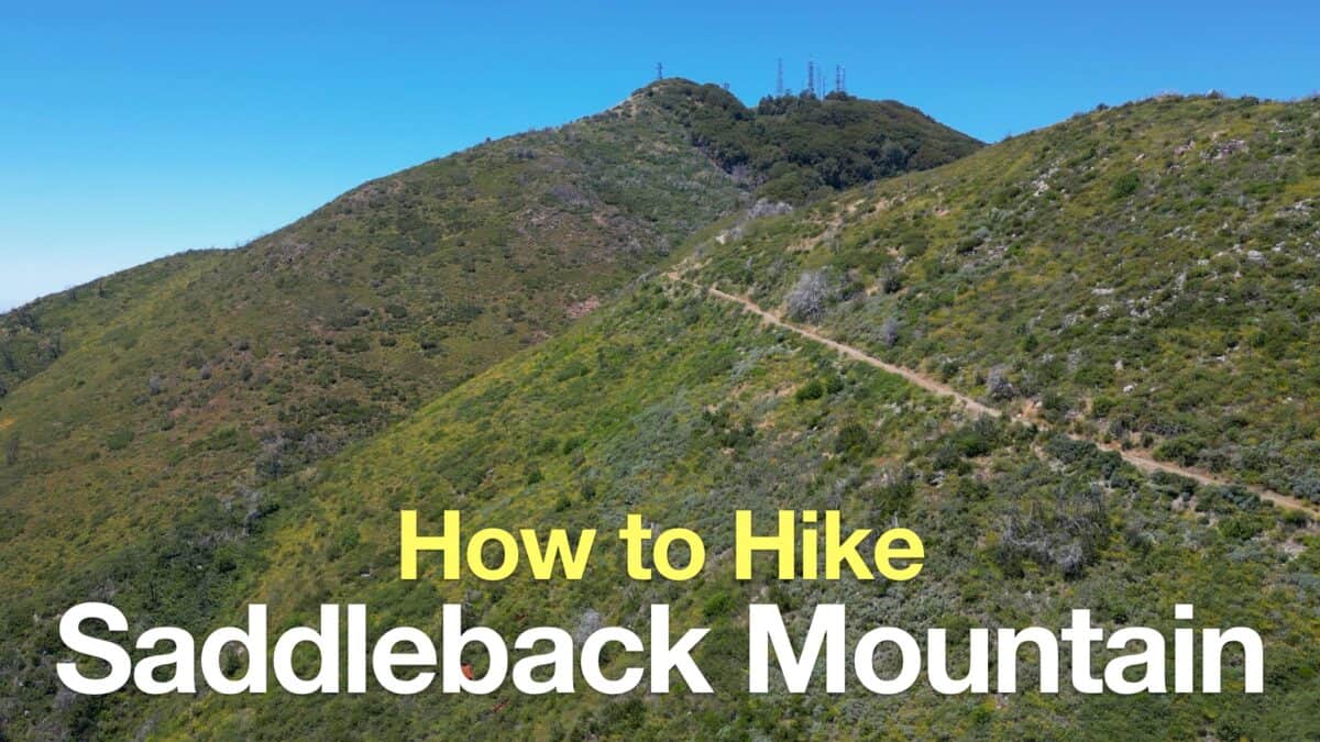 Saddleback Mountain Hike (Santiago Peak)
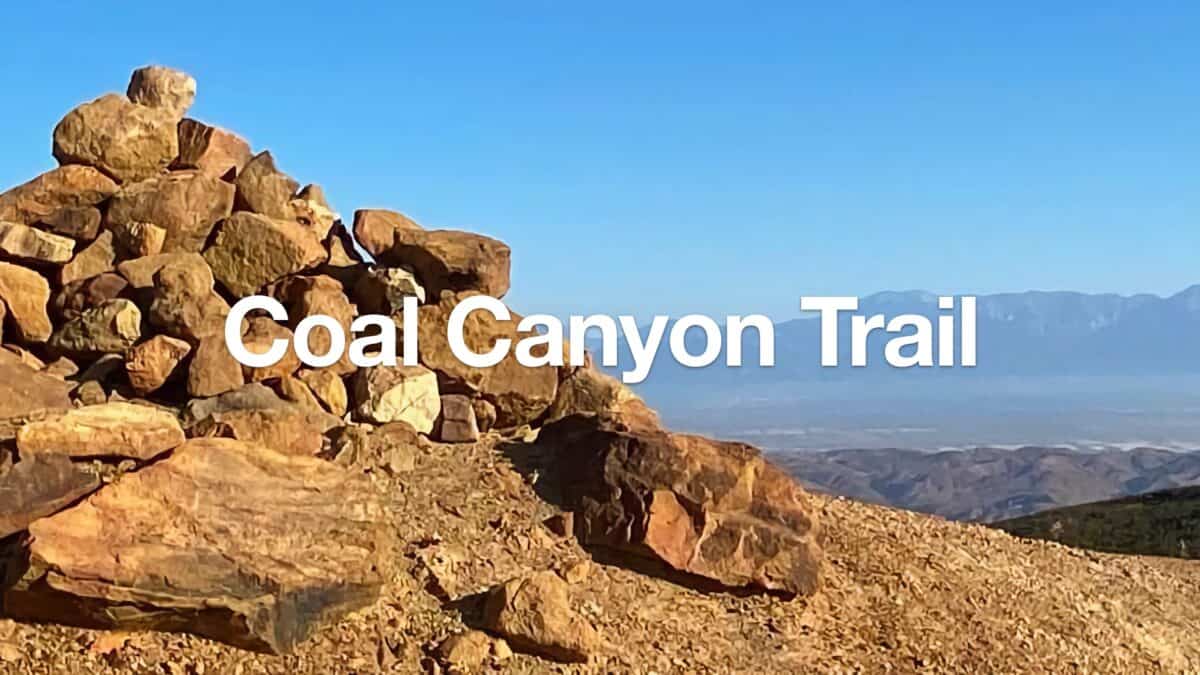 Hike Coal Canyon Trail
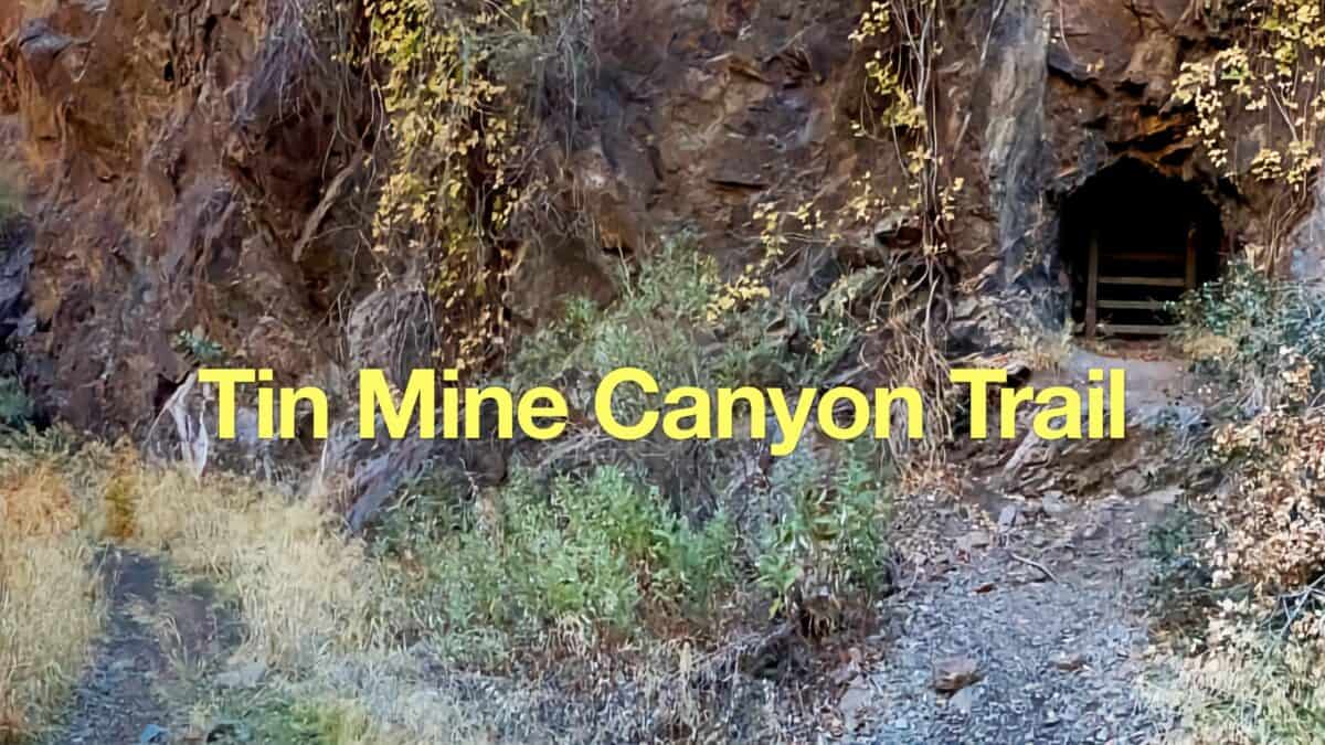 Tin Mine Canyon Trail Guide
 Hikes In and Around Orange County
 Cleveland National Forest Hiking
 Wildlands Conservancy Trails
Popular Guides
 Best Hiking Gear 2024
 Hiking Boots or Shoes: Do I Really Need Hiking Boots?
 When to Hit SOS on inReach
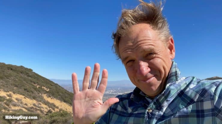
This Guide Was Written by Cris Hazzard

Hi, I'm Cris Hazzard, aka Hiking Guy, a professional outdoors guide, hiking expert, and author based in Southern California. I created this website to share all the great hikes I do with everyone else out there. This site is different because it gives detailed directions that even the beginning hiker can follow. I also share what hiking gear works and doesn't so you don't waste money. I don't do sponsored or promoted content; I share only the gear recommendations, hikes, and tips that I would with my family and friends. If you like the website and YouTube channel, please support these free guides (I couldn't do it without folks like you!). You can stay up to date with my new guides by following me on YouTube, Instagram, or by subscribing to my monthly newsletter.