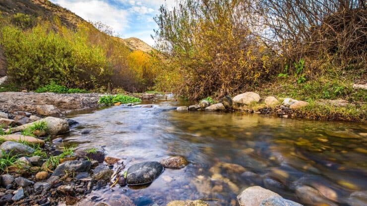

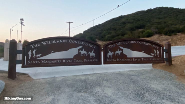
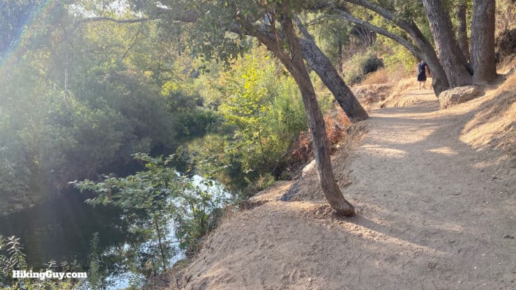
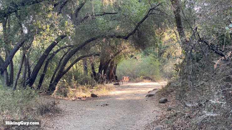
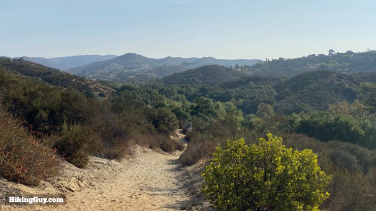
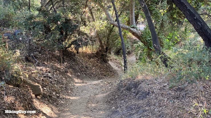
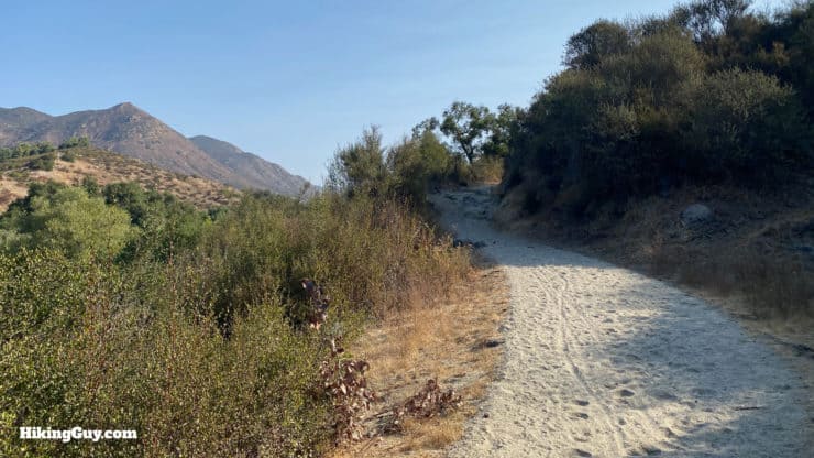
The Santa Margarita River Trail hike is a true gem. The hike follows the shady shores of the Santa Margarita River, Southern California's last undiverted, free-flowing river, home to over a hundred species of animals. The peaceful river banks also hold glimpses into the area's past, including Native American artifacts and relics of a railroad that once connected San Diego to the outside world. Today the Santa Margarita River Trail is protected and well-marked thanks to the non-profit Wildlands Conservancy. It's a beautiful trail that's easy, with a flat 3 mile option or a longer 5.7 hike to a hidden beach.
- Santa Margarita River Trail Video and Turn by Turn Directions
- Getting to the Hike & Tips
- Why the Santa Margarita River Trail Is So Special
These trails were voted #1 out of San Diego County's top 50 trails by San Diego Magazine.
Where is the Santa Margarita River Trail?
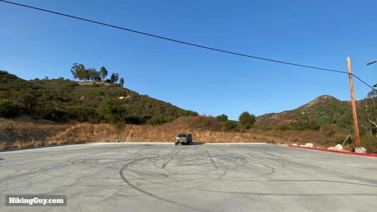
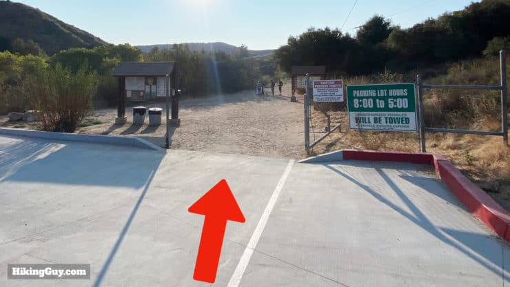
The start of the Santa Margarita River Trail is located in the northern part of San Diego County at:
4251 River Edge Rd, Fallbrook, CA 92028
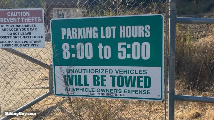
The Santa Margarita River Trail Preserve is open from 8am-5pm every day. Outside of those hours the gates are closed and you cannot park on the street and walk in early. This lets the wildlife have the space they need when they are most active.
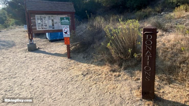
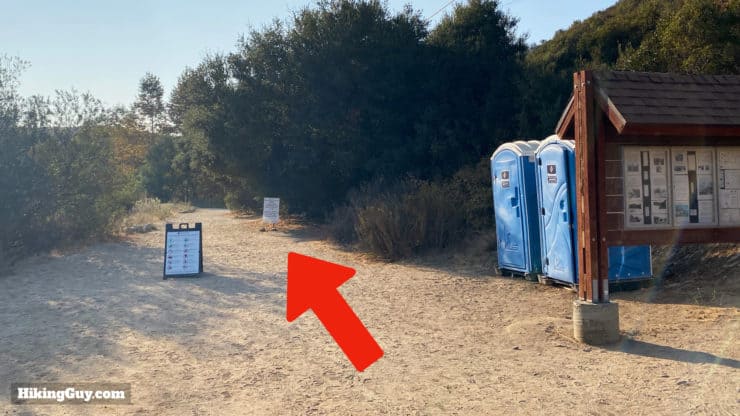
There are porta-potties at the trailhead.
Gear for the Hike
This is a pretty easy and mellow hike. Make sure you bring enough water (1-2L); it can still be hot with the shade. Bugs can be a problem and insect repellant is helpful. Light hiking gear or fitness-wear work well here.
Gear That I Love Right Now
Nothing is sponsored or promoted, just the actual gear that I use.


Check out the complete list here. ( Updated July 2024)
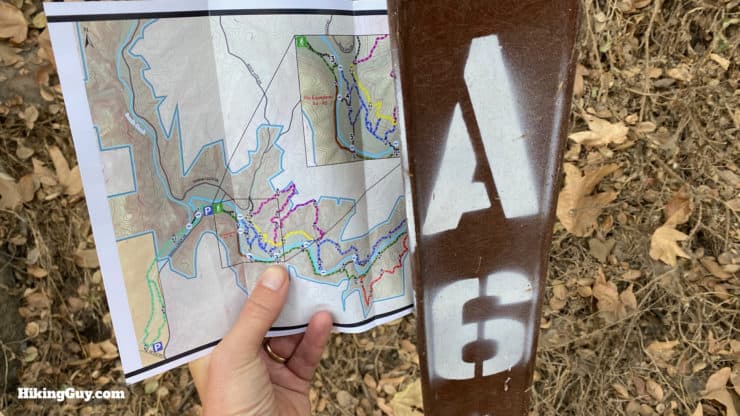
Santa Margarita River Trail Maps
The trail and preserve is run by the Wildlands Conservancy, the largest nonprofit nature preserve system in California. While there are some twists and turns, the trails are well-marked and easy to follow.
How Will You Navigate?
 Using the Apple Watch for Hiking
 Garmin Fenix 7 & Epix Review For Hikers
 How To Read a Topographic Map
 Garmin GPSMAP 67i Review
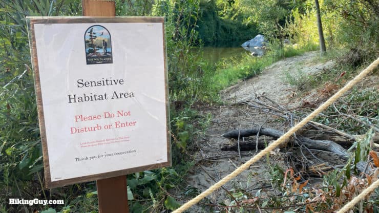
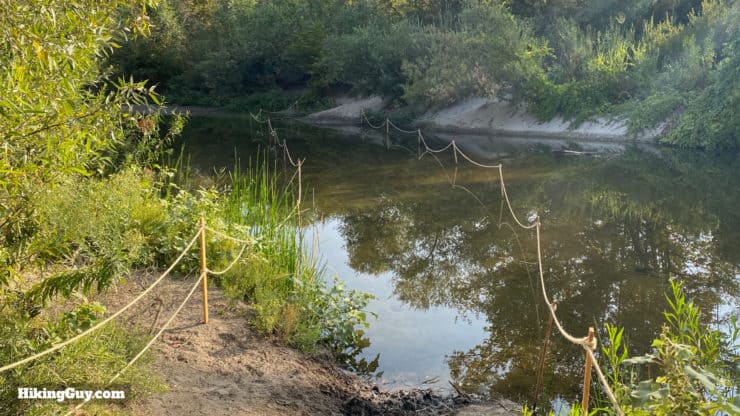
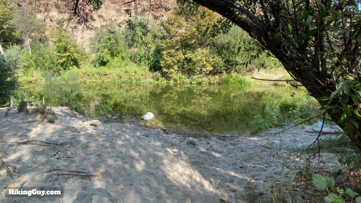
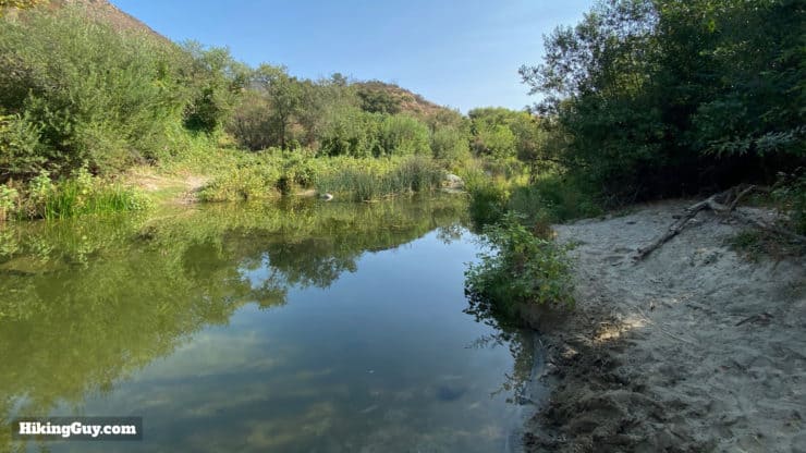
There's no swimming in the river; give the wildlife its space and stay on the trail.
Hike Brief
- The Santa Margarita River is one of the only (or maybe the only) river in Southern California that remains un-diverted, un-channeled, and un-dammed. The Preserve forms a vital habitat link between the Santa Ana Mountains and inland San Diego County.
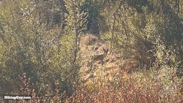
- The protected status of the land has made it a haven for wildlife. Keep your eyes open for hawks, mule deer, or some of the other 100+ animals that call the area home.
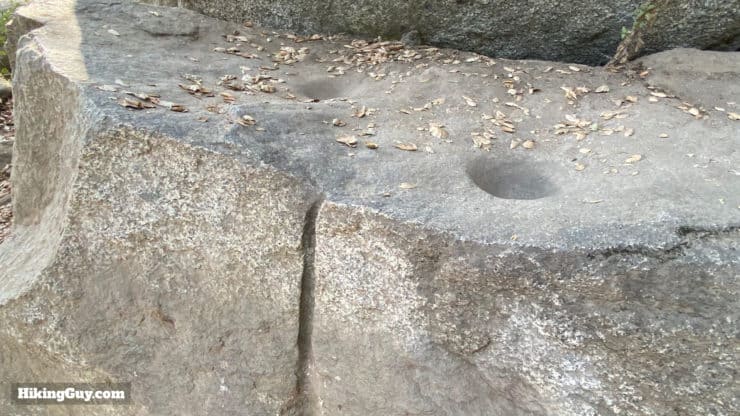
- This fertile area was originally home to the native Luiseño peoples, and you can still see some stone mortars where they ground acorns into flour.
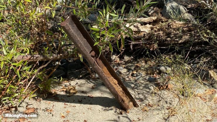
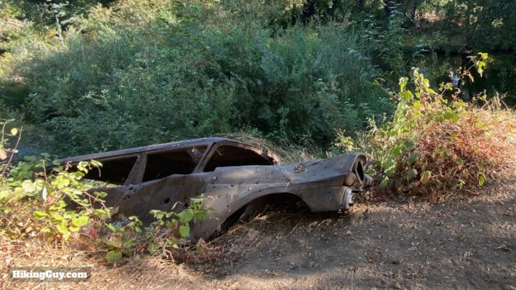
- In 1882 the California Southern Railroad ran through here, connecting San Diego with Temecula, Barstow and the transcontinental railway. Floods destroyed the line and it was abandoned in favor of the coastal route that is used today by Amtrak.
- For 80 years the local power company tried to dam the river for a hydroelectric project. They abandoned the effort and the non-profit Wildlands Conservancy purchased the land in 2018.
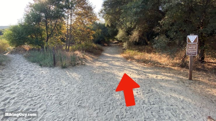
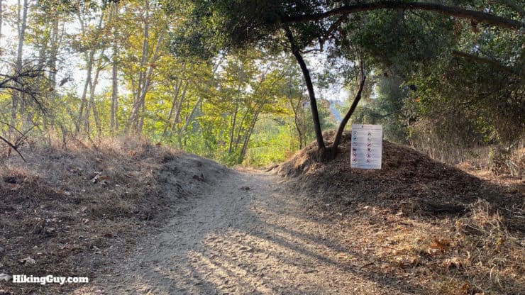
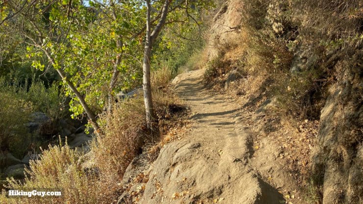
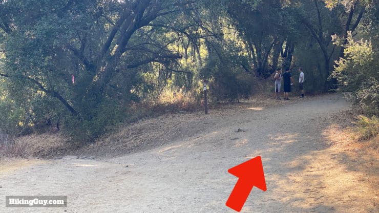
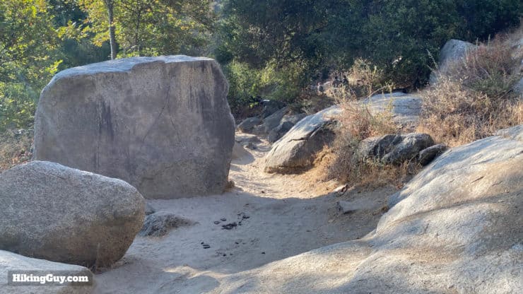
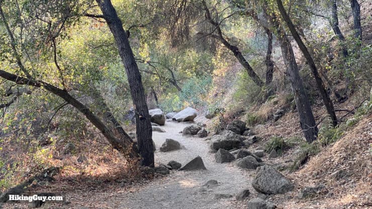
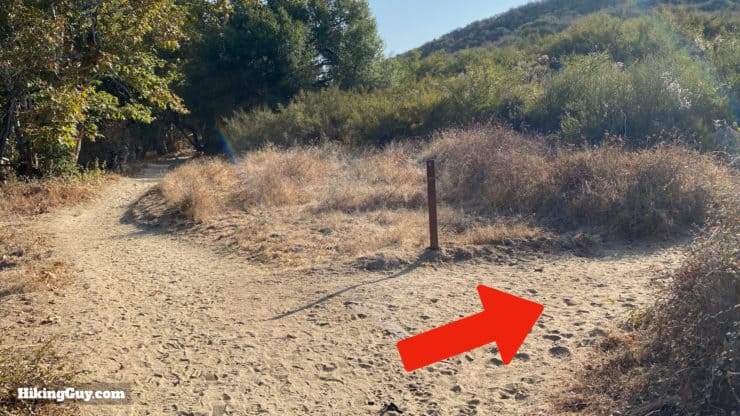
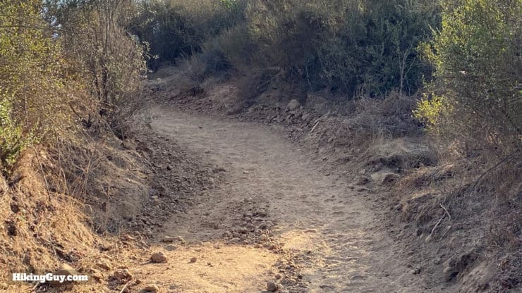
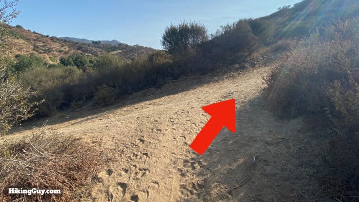
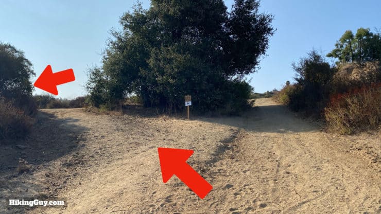
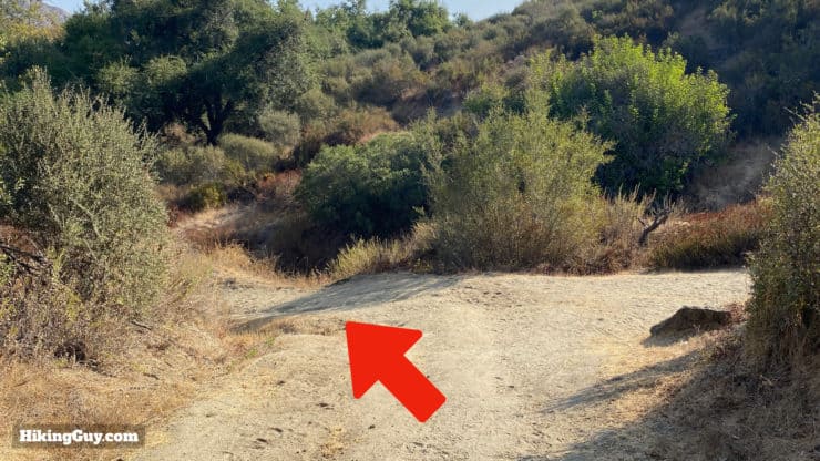
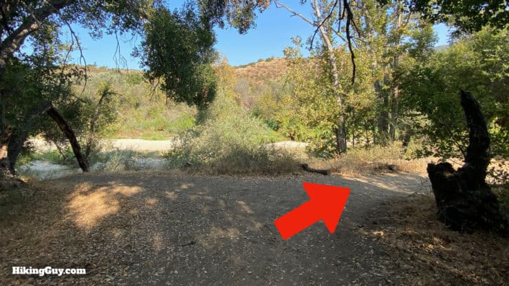
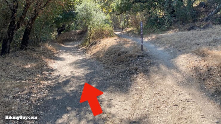
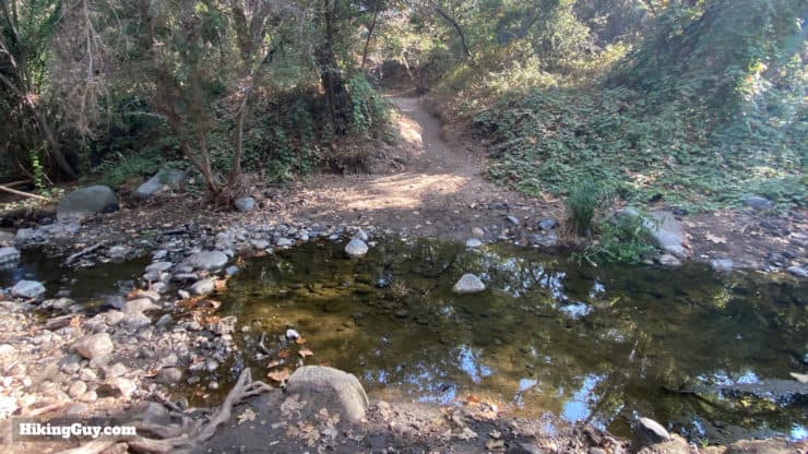
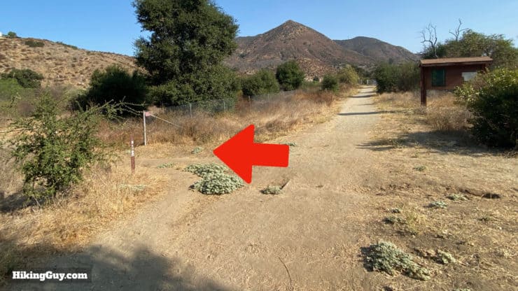
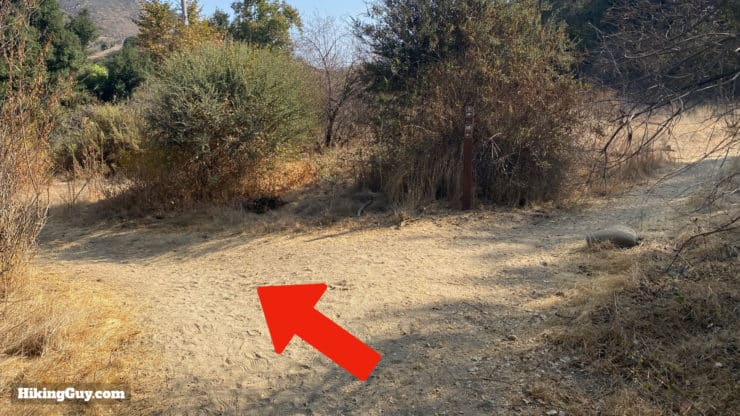
Santa Margarita River Hike Directions
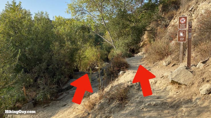

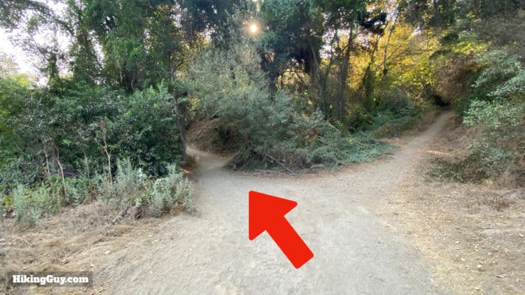
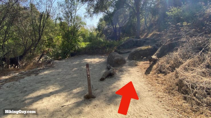
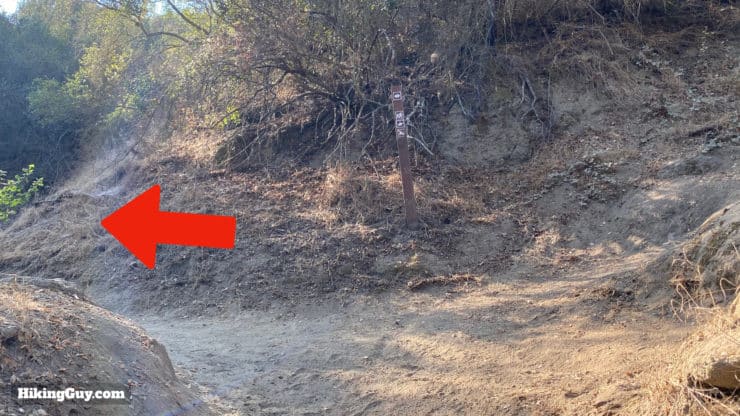
If you want to do the shorter 3 mile flat hike, just go left at the last junction, down to the water, enjoy, and then turn around and hike back the way you came.
Need More Info?
- Have a question about the guide? Join my Patreon and ask me a question.
- When planning, always check the park website and social media to make sure the trails are open. Similarly, check the weather and road conditions.
- Do you have an update to this guide? View the Youtube comments for this video. Leave a comment and I will do my best to update the guide.
Related Guides
 How to Hike Black Star Canyon Falls
 Cowles Mountain Hike
 Torrey Pines Hike Guide
 Hike Batiquitos Lagoon Trail
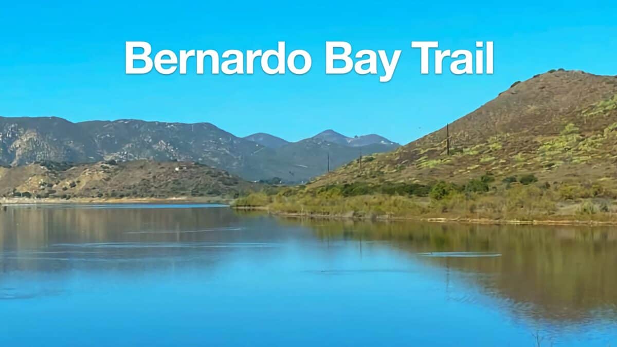 Bernardo Bay Trail - San Dieguito River Park
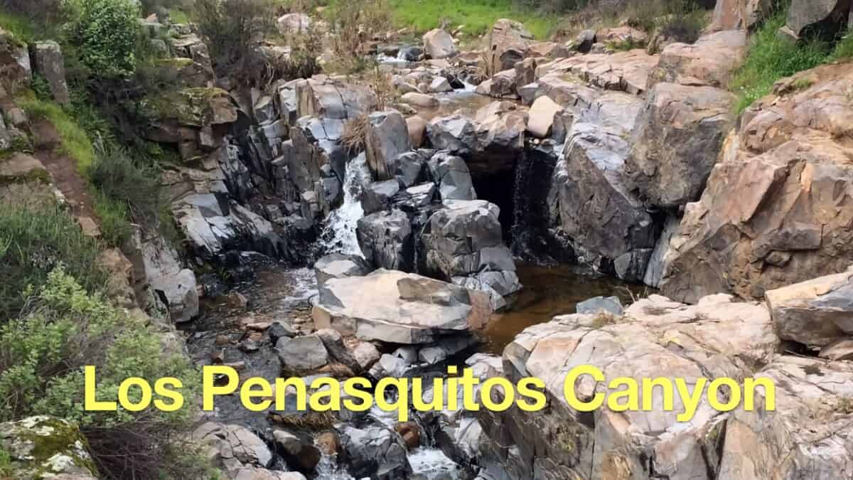 Los Penasquitos Canyon Trail Guide
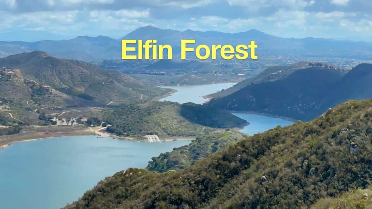 Elfin Forest Hike to Lake Hodges Overlook
 Hikes In and Around Orange County
 Hiking San Diego
 Hikes In and Around Riverside County
 Wildlands Conservancy Trails
Popular Guides
 Best Hiking Gear 2024
 Hiking Boots or Shoes: Do I Really Need Hiking Boots?
 When to Hit SOS on inReach
This Guide Was Written by Cris Hazzard

Hi, I'm Cris Hazzard, aka Hiking Guy, a professional outdoors guide, hiking expert, and author based in Southern California. I created this website to share all the great hikes I do with everyone else out there. This site is different because it gives detailed directions that even the beginning hiker can follow. I also share what hiking gear works and doesn't so you don't waste money. I don't do sponsored or promoted content; I share only the gear recommendations, hikes, and tips that I would with my family and friends. If you like the website and YouTube channel, please support these free guides (I couldn't do it without folks like you!). You can stay up to date with my new guides by following me on YouTube, Instagram, or by subscribing to my monthly newsletter.