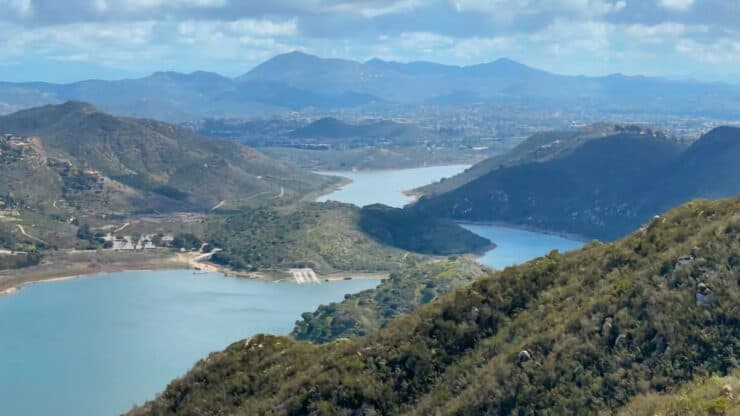

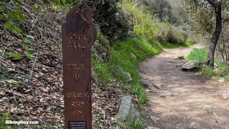
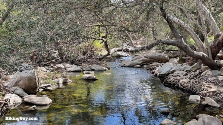
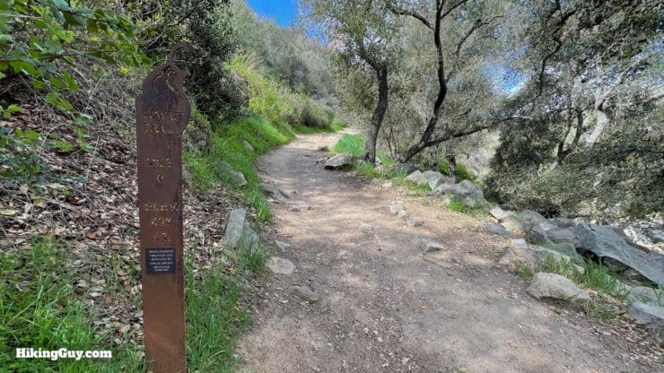
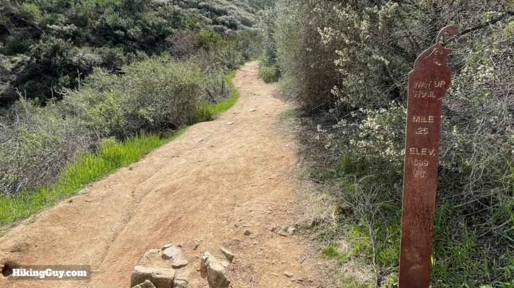
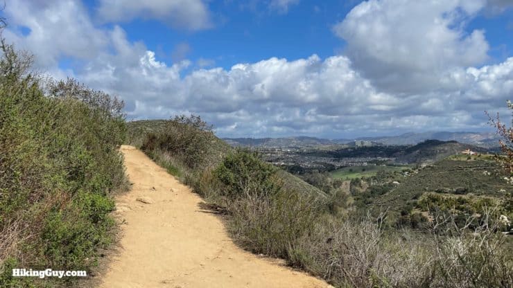
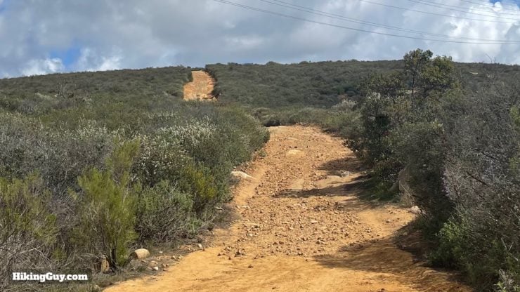
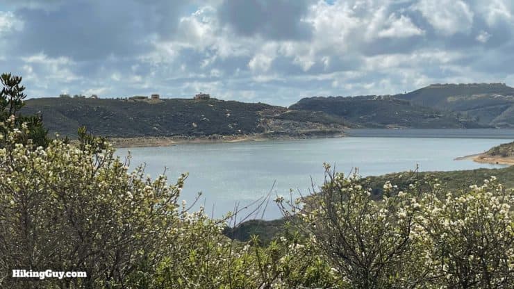
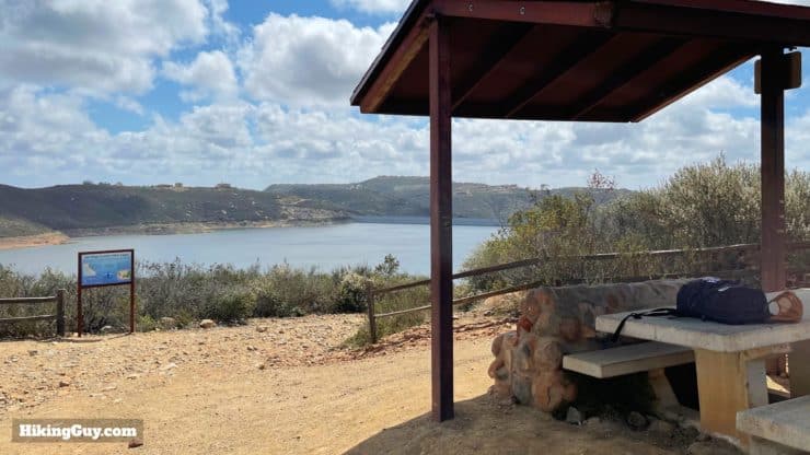
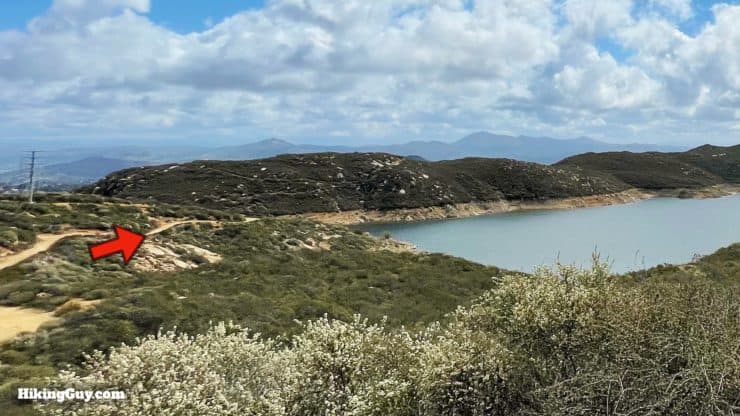
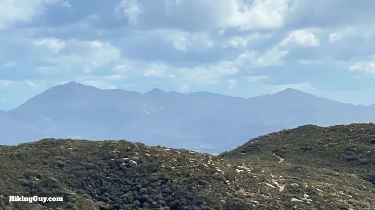
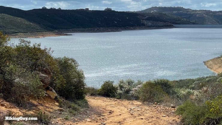
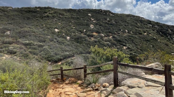
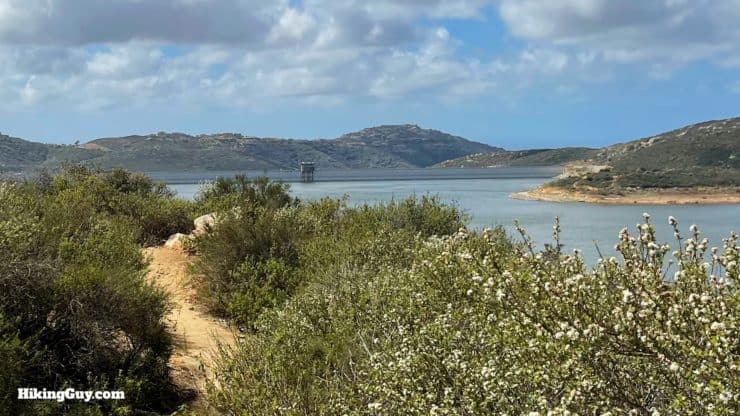
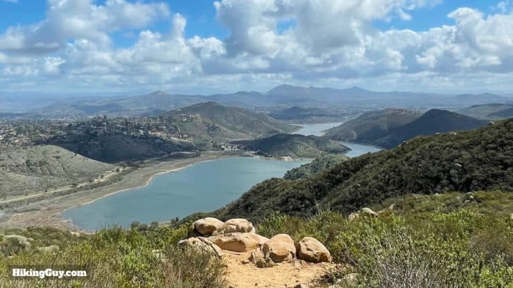
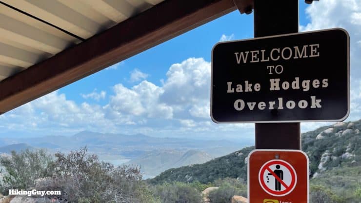
A favorite of San Diego hikers, this hike in the Eflin Forest to Lake Hodges Overlook offers a lot. Starting in a quaint valley along Escondido Creek, believed to have been a meeting point for neighboring native tribes, you'll ascend the picturesque Way Up Trail until you reach the shores of Olivenhain Reservoir. After circling the reservoir, you'll arrive at Lake Hodges Overlook, where panoramic views of the lake and mountain peaks are a feast for your eyes.
- Video and Turn-by-Turn Directions to Lake Hodges Overlook
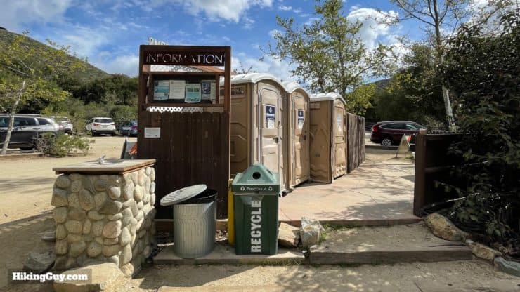
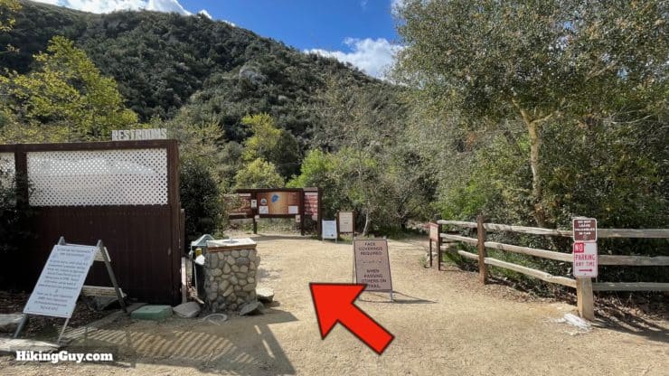
- How to Get to the Elfin Forest Recreational Reserve
- Insider Hike Tips and Recommendations
Elfin sounds like something from Lord of the Rings, but it's not like exotic. Elfin Forest is a synonym for Dwarf Forest, the name for the heavy cover of coastal scrub found here.
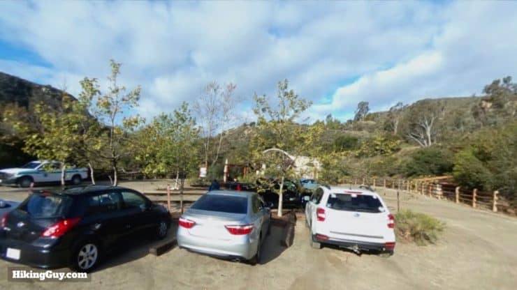
Where is the Elfin Forest Hike?
The hike starts in the Elfin Forest Recreational Reserve, just outside of Escondido, CA. Use this trailhead address:
8833 Harmony Grove Rd, Escondido, CA 92029
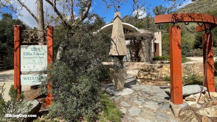
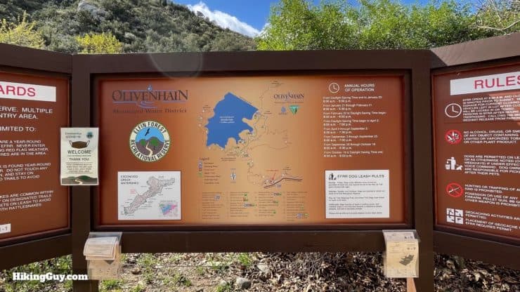
Who Runs the Elfin Forest Recreational Reserve?
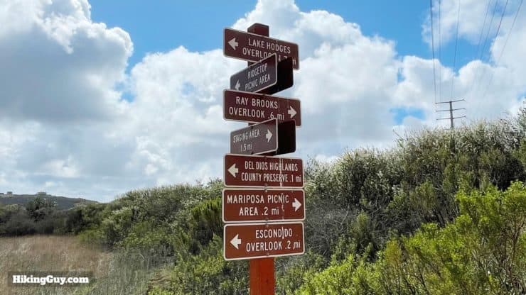
Why the water company, of course! The Olivenhain Municipal Water District, which built the reservoir and dam that we'll see on the hike, runs and maintains the trails. They do an excellent job. There are lots of trail signs and the trails are in great condition.
There are 11 miles of trails over 734 acres in the Reserve. This hike takes you on what is probably the most popular route to Lake Hodges Overlook, but there are other trails as well. The Reserve website has a trail map if you want to explore more of the area.
Gear For the Hike
- While you can get away with fitness clothing, I'd recommend hiking gear if you have it.
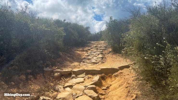
- Good hiking shoes or trail runners will help on the slopes.
- In the summer it can be brutally hot here.
- Bring 1-2L of water depending on the conditions.
- Trekking poles help on the climbs and descents.
Gear That I Love Right Now
Nothing is sponsored or promoted, just the actual gear that I use.


Check out the complete list here. ( Updated October 2024)
Elfin Forest Trail Maps
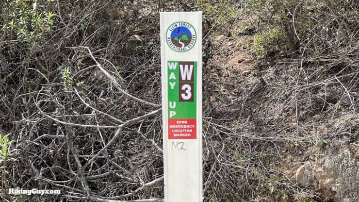
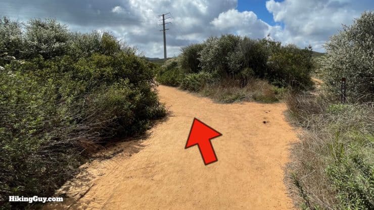
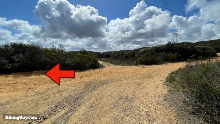
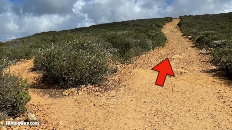
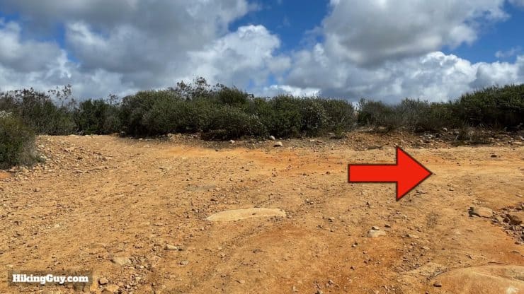
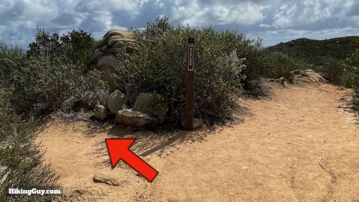
Overall the trails are well-marked and easy to follow, you shouldn't have a hard time navigating this hike as long as you read this guide.
How Will You Navigate?
 Using the Apple Watch for Hiking
 Garmin Fenix 7 & Epix Review For Hikers
 How To Read a Topographic Map
 Garmin GPSMAP 67i Review
Elevation Profile
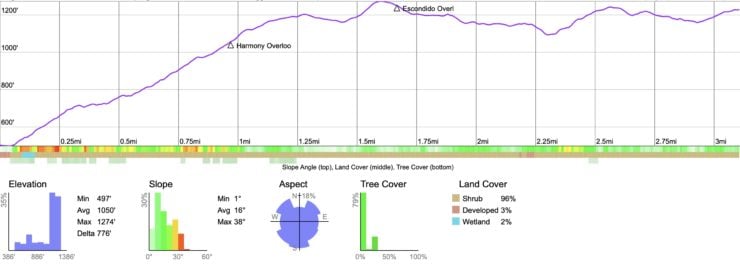
Landmarks on the Hike
| Landmark | Distance | Elevation |
|---|---|---|
| Trailhead | 0.0 | 500 |
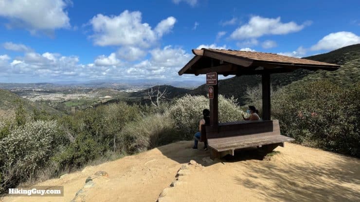
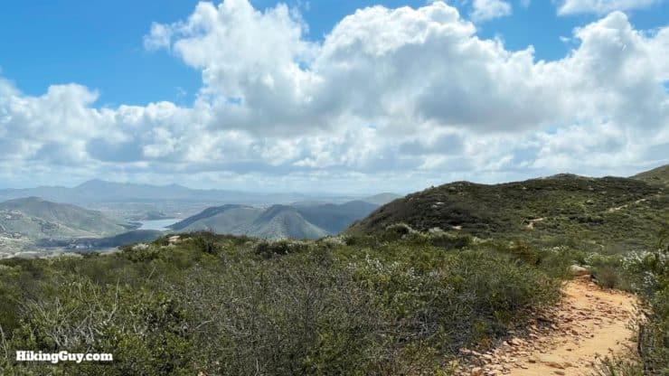
| Harmony Overlook | 1.0 | 1000 |
| Escondido Overlook | 1.75 | 1250 |
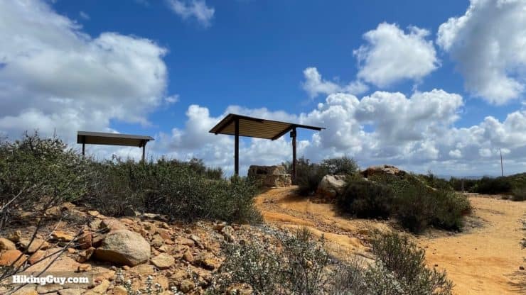
| Lake Hodges Overlook | 3.4 | 1230 |
3D Map
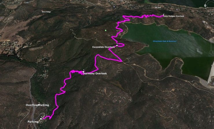
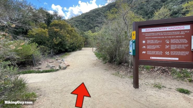
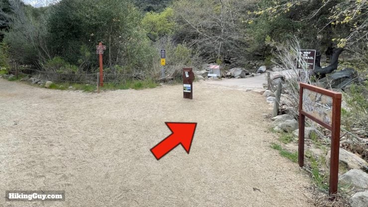
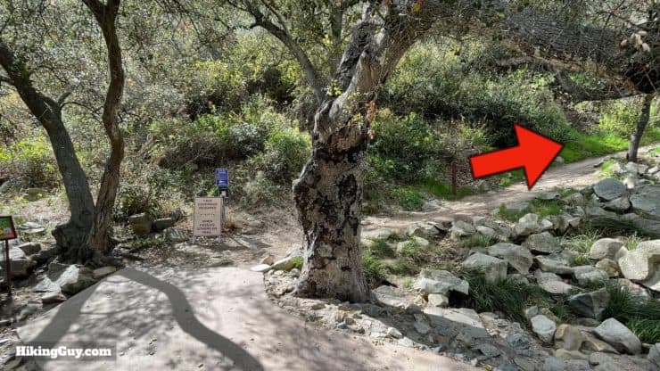
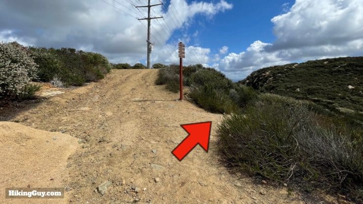
Elfin Forest Hike Directions

If you want to walk the shores of Lake Hodges, check out the Bernardo Bay Trail. There's lots of great birding along the lake.
Need More Info?
- Have a question about the guide? Join my Patreon and ask me a question.
- When planning, always check the park website and social media to make sure the trails are open. Similarly, check the weather and road conditions.
- Do you have an update to this guide? View the Youtube comments for this video. Leave a comment and I will do my best to update the guide.
Related Guides
 Potato Chip Rock Hike (San Diego)
 Santa Margarita River Trail
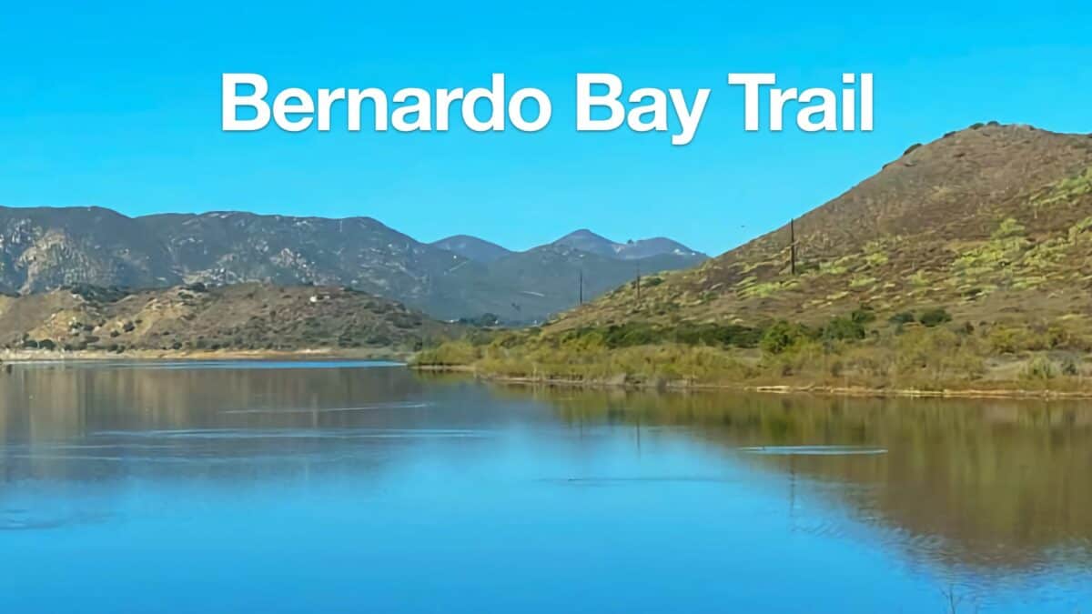 Bernardo Bay Trail - San Dieguito River Park
 Hiking San Diego
Popular Guides
 Best Hiking Gear 2024
 Hiking Boots or Shoes: Do I Really Need Hiking Boots?
 When to Hit SOS on inReach
This Guide Was Written by Cris Hazzard

Hi, I'm Cris Hazzard, aka Hiking Guy, a professional outdoors guide, hiking expert, and author based in Southern California. I created this website to share all the great hikes I do with everyone else out there. This site is different because it gives detailed directions that even the beginning hiker can follow. I also share what hiking gear works and doesn't so you don't waste money. I don't do sponsored or promoted content; I share only the gear recommendations, hikes, and tips that I would with my family and friends. If you like the website and YouTube channel, please support these free guides (I couldn't do it without folks like you!). You can stay up to date with my new guides by following me on YouTube, Instagram, or by subscribing to my monthly newsletter.