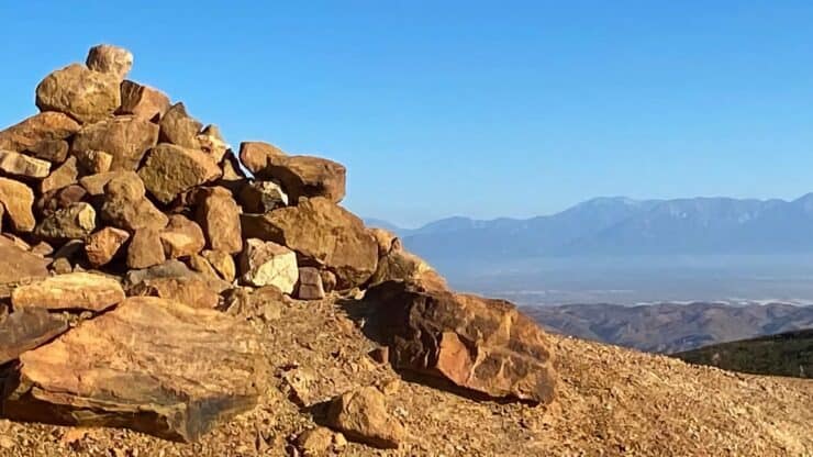

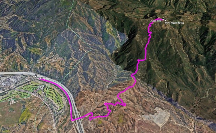
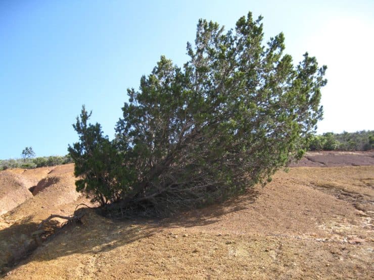
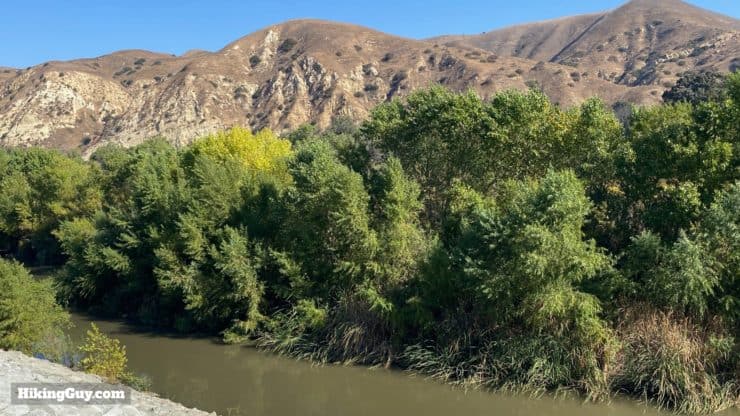
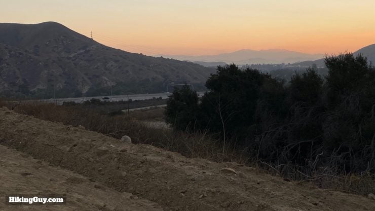
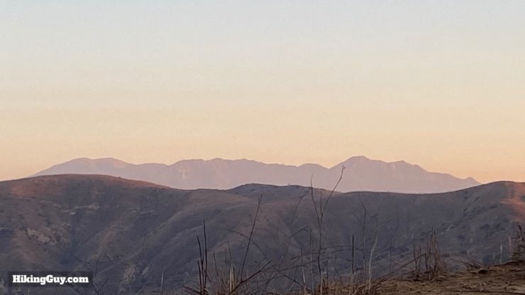
Don't let the start of the Coal Canyon Trail, which is next to the 91 freeway, fool you. After a short stretch next to the freeway on the Santa Ana River Trail, you'll hop into a wildlife corridor and up into the northwest Santa Ana Mountains. Along the way, you'll have views of Angeles National Forest, San Gorgonio, and at the top, Orange Counties' "Mini-Moab." It's a bit of an under-hiked gem, so get out and enjoy it.
- Video and Turn by Turn Directions
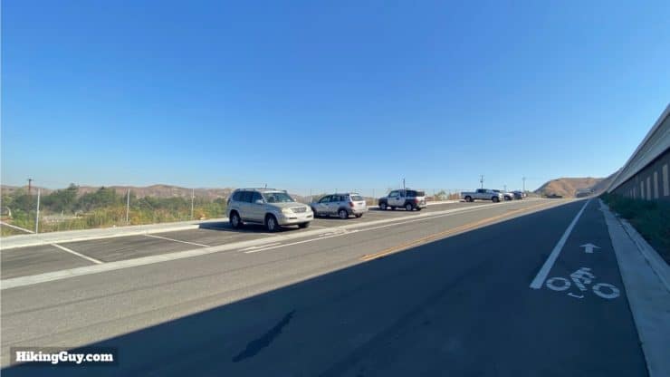
- Parking For the Coal Canyon Trail
- What to Expect on the Hike
Where is the Coal Canyon Trail?
There is a large and free parking lot at the Santa Ana River Trail. The trail and parking area is mainly used by bikers, and can fill up early. I've shown up at dawn and the parking lot has been empty though. Use this trailhead address:
4995 Green River Rd #4915, Corona, CA 92880
There are no bathrooms or water fills at the trailhead, but gas stations and fast-food restaurants just up the road.
Gear for the Hike
This is a 10 mile hike so I recommend wearing proper hiking gear. The trail is entirely exposed; bring sun protection (or do it at dawn or in the winter). There's no water, bring 2L for the trip.
Gear That I Love Right Now
Nothing is sponsored or promoted, just the actual gear that I use.


Check out the complete list here. ( Updated July 2024)
Coal Canyon Trail Maps
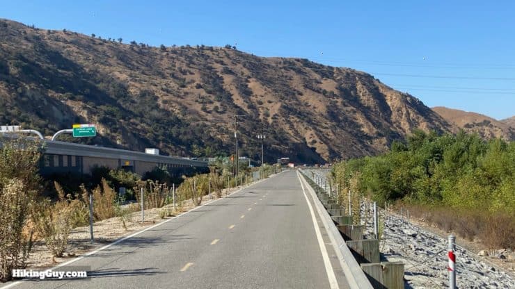
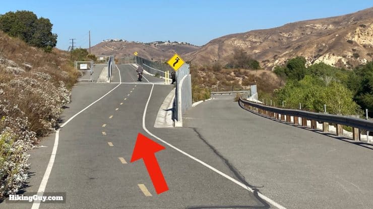
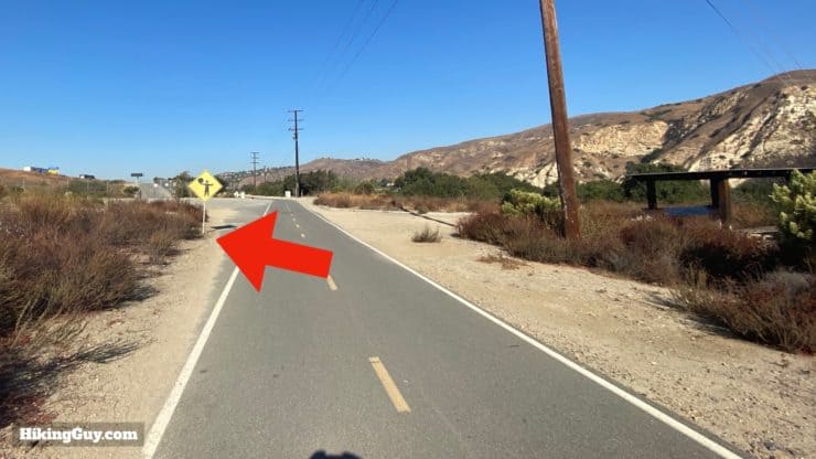
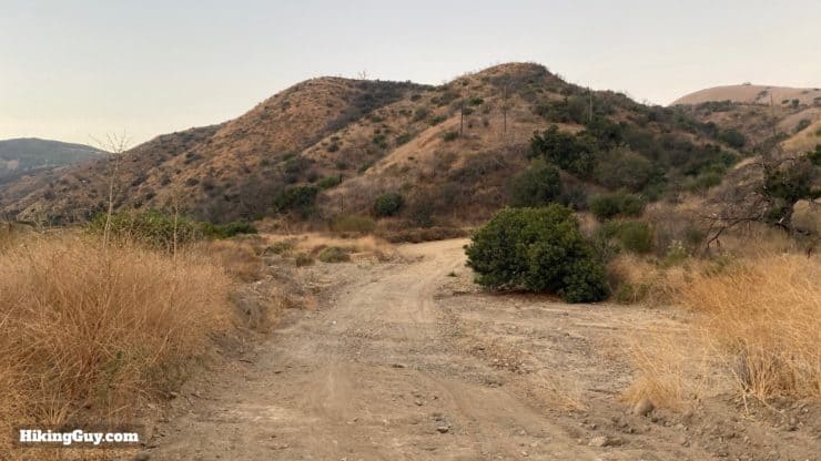
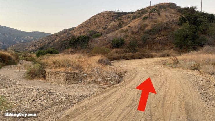
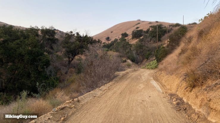
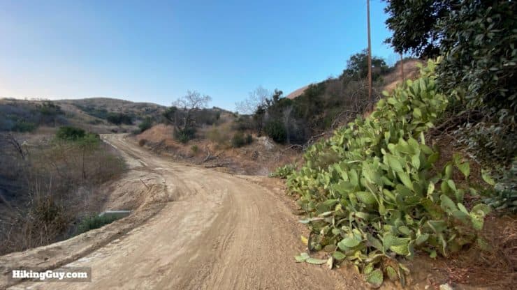
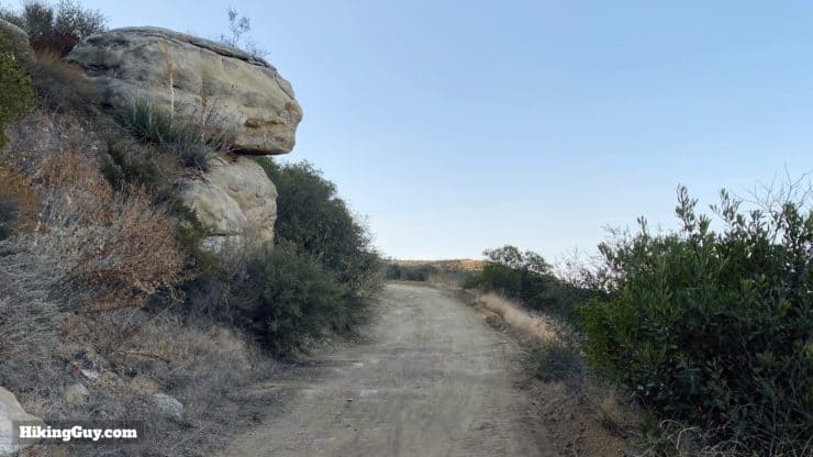
Just a note on the trails. While beautiful, they're not pristine single-track through a forest. You'll have a short stretch in the beginning on a paved bike trail, and then take a sandy fire road to the top. Don't let that deter you, the hike is great.
How Will You Navigate?
 Using the Apple Watch for Hiking
 Garmin Fenix 7 & Epix Review For Hikers
 How To Read a Topographic Map
 Garmin GPSMAP 67i Review
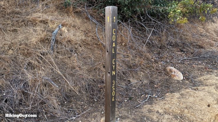
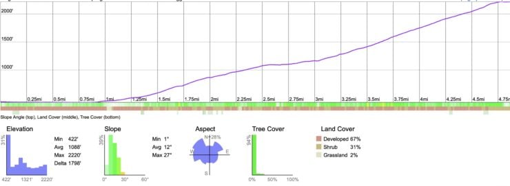
Elevation Profile
3D Map
Hike Brief
- The Coal Canyon area first gained notoriety in the 1880s when oil was discovered here. The oil fizzled out and then there were some small mines which you can still see marked on topographic maps. Then the land just sat there, but the oil company ownership meant that development never happened.
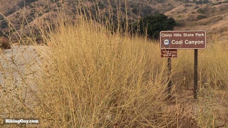
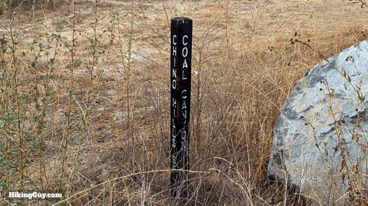
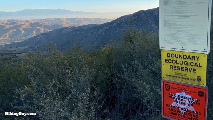
- From the 1980s to the 2000s the land became parkland and protected under strong bi-partisan support (remember those days?). Today the Coal Canyon Trail starts in Chino Hills State Park (no parking pass needed) and then heads into Coal Canyon Ecological Reserve.
- Some of this hike burned in the 2017 Canyon 2 fire, and a large portion of it was destroyed in the 2002 Green Fire.
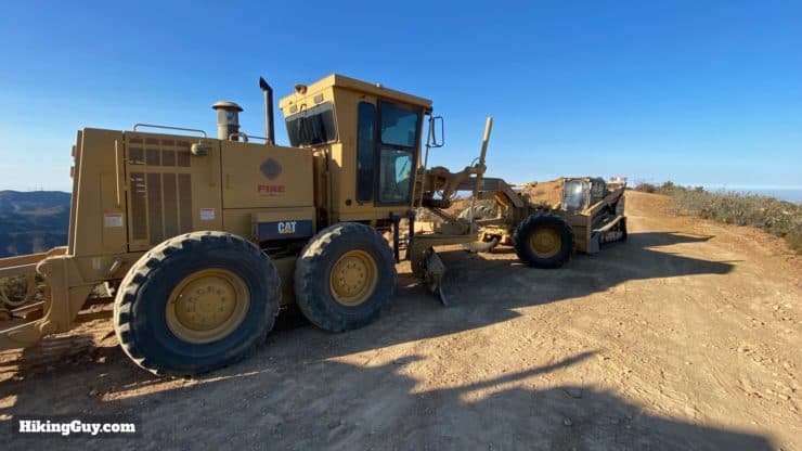
Fire department trucks pre-positioned along the hike in case of a fire. - I never see many (if any) hikers on this trail, but there are mountain bikers. Even then, it's not busy, but make sure you keep your eyes open for them as you hike.
- The area is a haven for wildlife. Expect to see raptors and maybe a rabbit or two. I've spotted bobcats, mule deer, and snakes here over the years. The wide sand trails are great places to spot tracks.
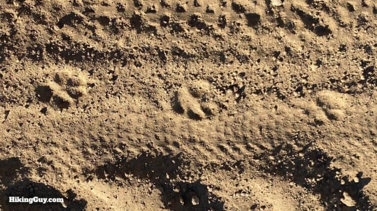
Here's a bobcat track that I found on the day I created this guide.
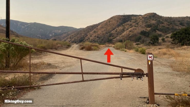
Coal Canyon Trail Hike Directions
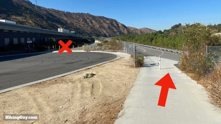
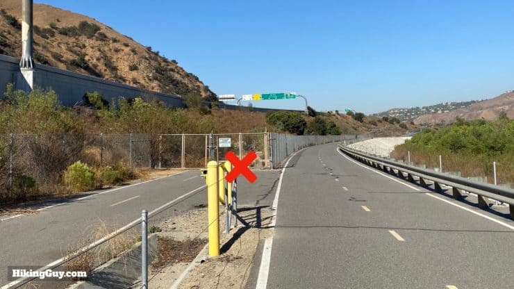
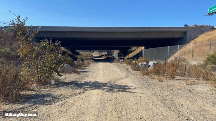
This may look like just a creepy freeway underpass, but it actually has some significance. This was originally the Coal Canyon exit on the 91. In the 1990s a study showed that the 91 was blocking wildlife access from the Santa Ana Mountains to the foothills in the north. Animals were being killed trying to cross the freeway. So the California Department of Parks and Recreation bought Coal Canyon and the underpass to create a wildlife corridor between the two areas. It was the first time in California history that parkland was purchased for its connectivity value, and the first time that Caltrans decommissioned a freeway underpass for wildlife.
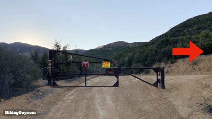
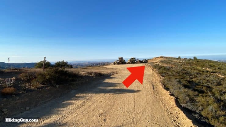
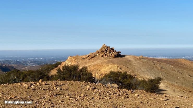
If you see "Area Closed" signs, they are referring to the side trails away from the rock pile. You ARE allowed to hike to the rock pile. The signs are place in front of it to discourage exploring. Thanks to reader Carmelita for the update!
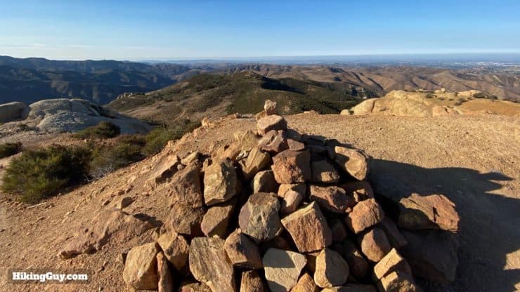
Soak in the panoramic views and just head back the way you came to finish the hike. If you decide to climb down and explore the mini-Moab rocks, please be careful. The rocks are fragile and crumble very easily.
Need More Info?
- Have a question about the guide? Join my Patreon and ask me a question.
- When planning, always check the park website and social media to make sure the trails are open. Similarly, check the weather and road conditions.
- Do you have an update to this guide? View the Youtube comments for this video. Leave a comment and I will do my best to update the guide.
Related Guides
 Hike the Bedford Peak Trail (Orange County)
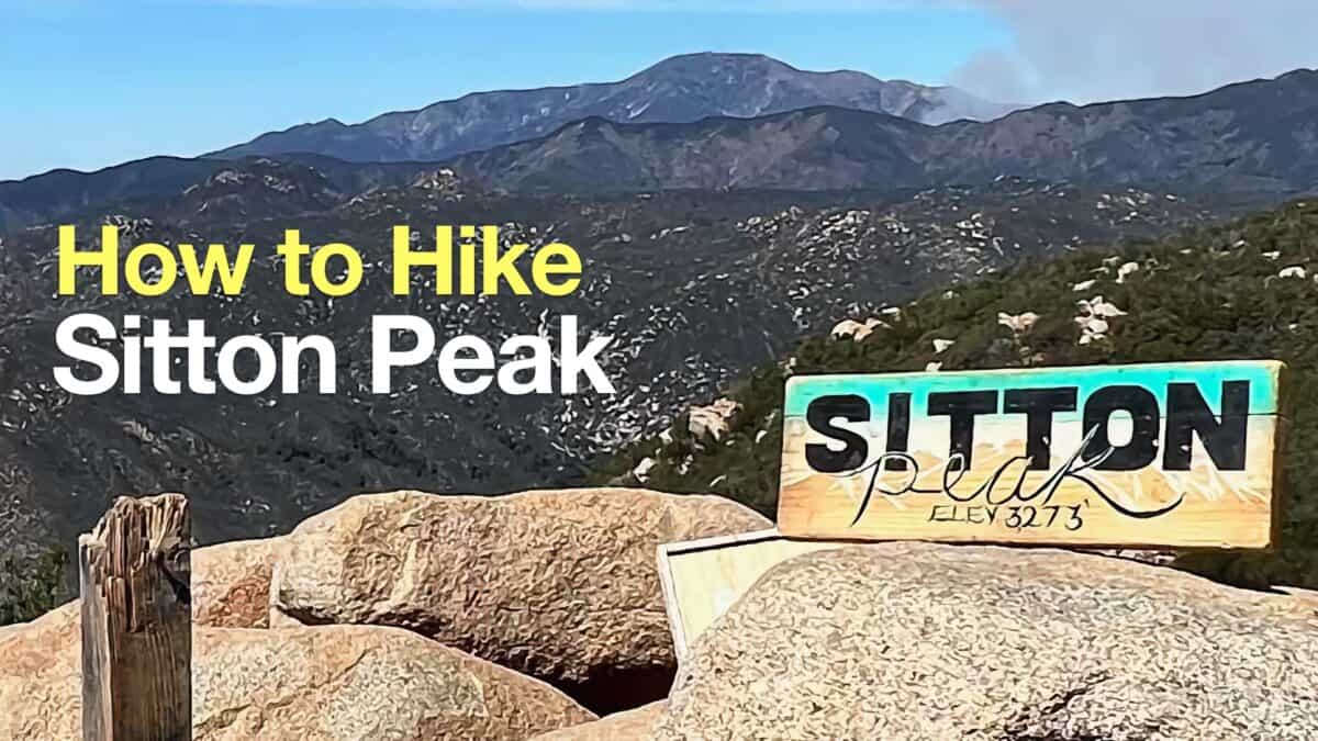 Sitton Peak Hike
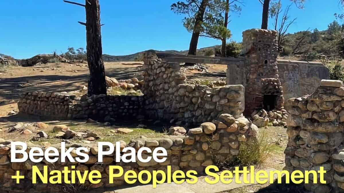 Beeks Place Hike From Black Star Canyon
 Hikes In and Around Orange County
 Cleveland National Forest Hiking
 Hikes In and Around Riverside County
Popular Guides
 Best Hiking Gear 2024
 Hiking Boots or Shoes: Do I Really Need Hiking Boots?
 When to Hit SOS on inReach
This Guide Was Written by Cris Hazzard

Hi, I'm Cris Hazzard, aka Hiking Guy, a professional outdoors guide, hiking expert, and author based in Southern California. I created this website to share all the great hikes I do with everyone else out there. This site is different because it gives detailed directions that even the beginning hiker can follow. I also share what hiking gear works and doesn't so you don't waste money. I don't do sponsored or promoted content; I share only the gear recommendations, hikes, and tips that I would with my family and friends. If you like the website and YouTube channel, please support these free guides (I couldn't do it without folks like you!). You can stay up to date with my new guides by following me on YouTube, Instagram, or by subscribing to my monthly newsletter.