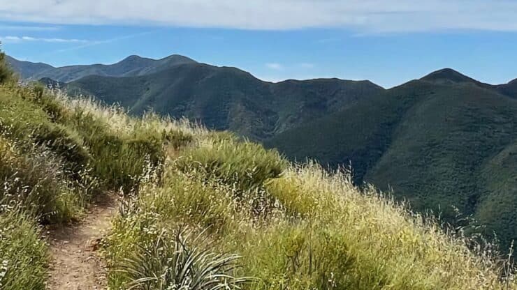

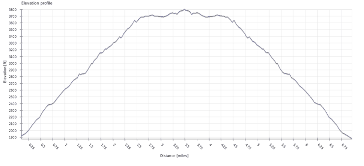
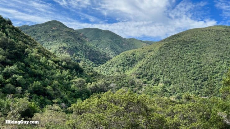
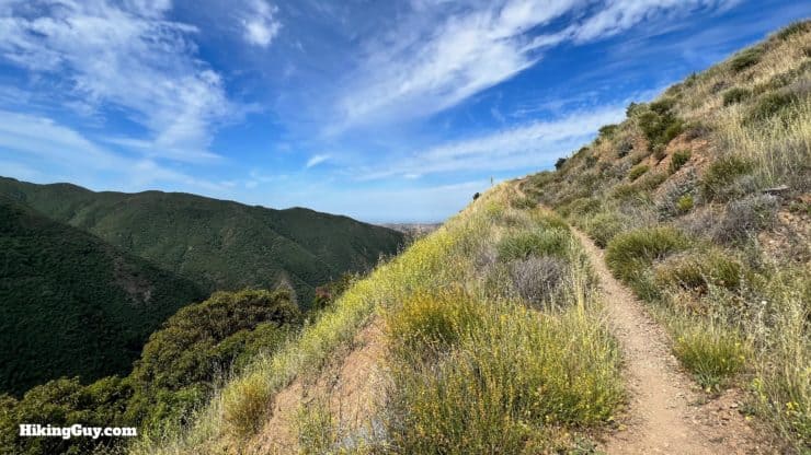
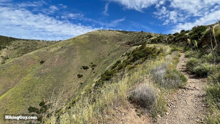
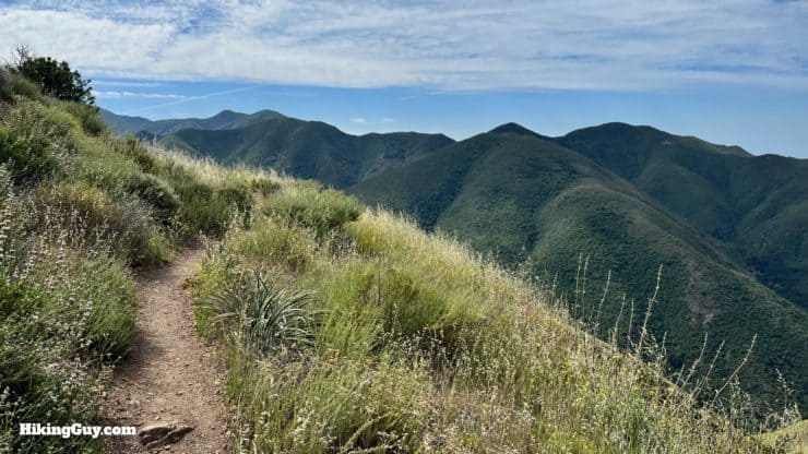
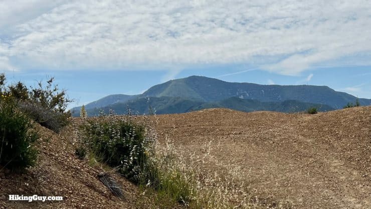
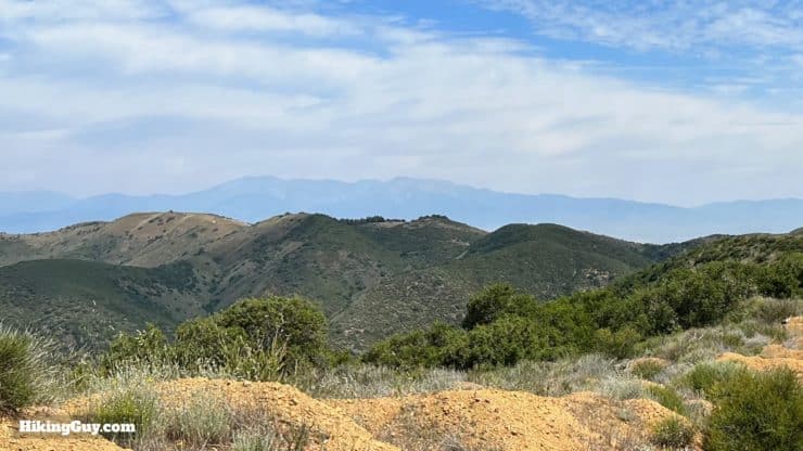
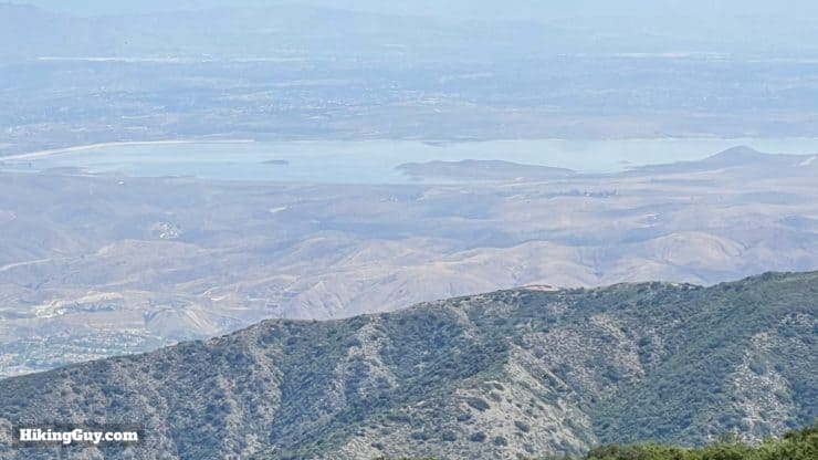
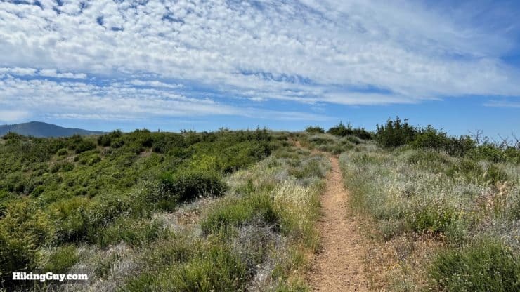
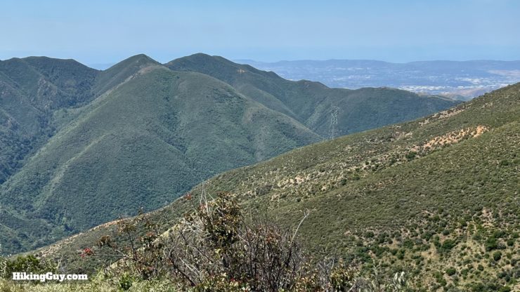
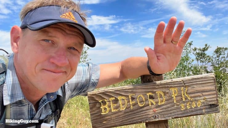
If you're looking for a hidden gem, the Bedford Peak Trail is for you. You'll get an excellent workout climbing about 2000 feet in 3 miles, and at the top, you have gorgeous views of the Santa Anas, Angeles National Forest, Catalina, and on a clear day, the higher peaks of SoCal. Overall it's an underrated gem.
- Video & Turn-by-Turn Directions for Bedford Peak
- Parking for the Bedford Peak Trail
- Insider Tips & Recommendations for the Hike
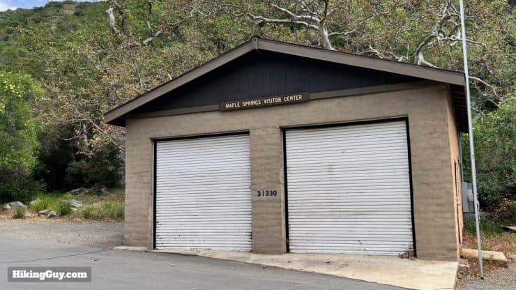
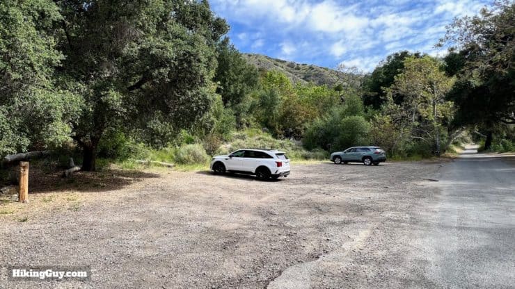
Parking for the Bedford Peak Trail
You'll want to use the (often closed) Maple Springs Visitor Center as your car's GPS destination. Use this address for the trailhead: 31330 Silverado Canyon Rd, Silverado, CA, 92676, USA.
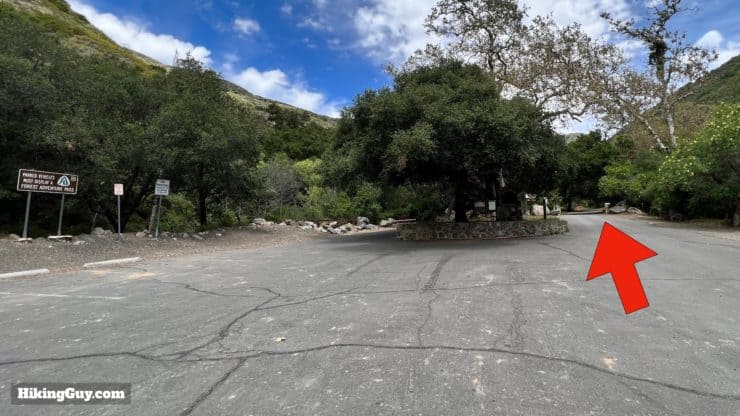
If the gate into Silverado Canyon is closed, park here at the paved lot and walk up.
Gear For the Hike
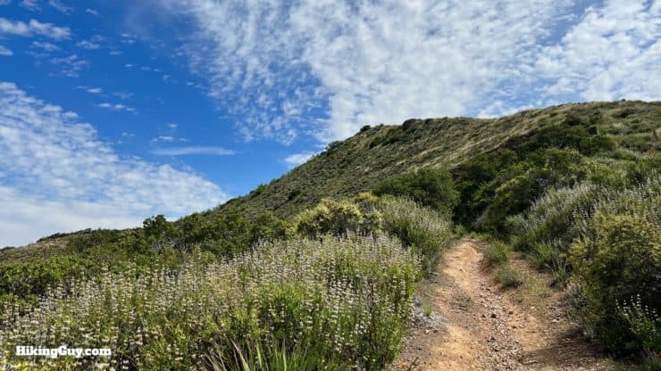
There's no shade on the trail to Bedford Peak, so bring plenty of water and sunscreen. If you like to climb with trekking poles, they can be helpful. The summit can get breezy, so extra layers will feel nice if you do the hike when it's cool out. Otherwise, it's not a technical hike and can be done with workout gear if you like.
Gear That I Love Right Now
Nothing is sponsored or promoted, just the actual gear that I use.


Bedford Peak Hike Trail Maps
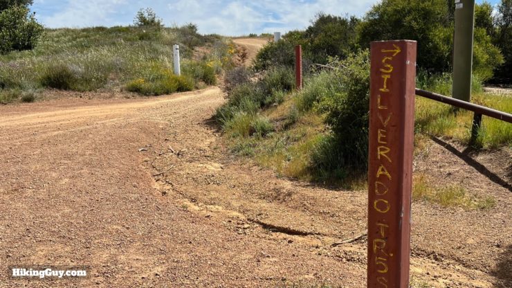
Note that the main Bedford Peak trail has two names (for the same trail). Some maps list it as the Maple Springs Trail; others list it as the Silverado Trail.
How Will You Navigate?
 Using the Apple Watch for Hiking
 Garmin Fenix 7 & Epix Review For Hikers
 How To Read a Topographic Map
 Garmin GPSMAP 67i Review
Elevation Profile
3D Map
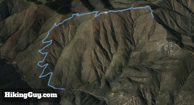
Hike Brief
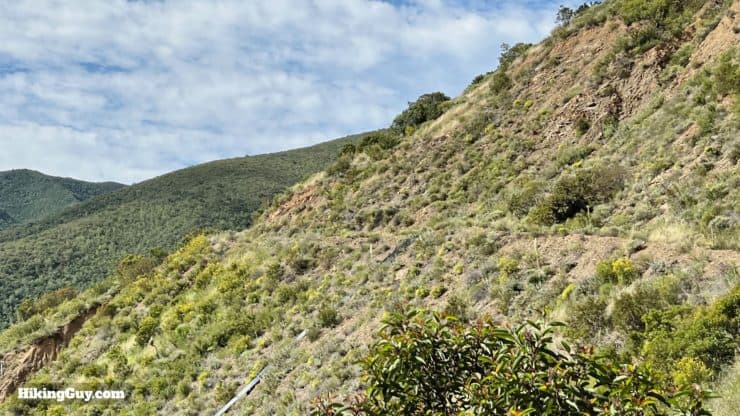
- Keep your eyes open for exposed rock layers along the trail. This area is home to the Bedford Canyon Formation. The formation is unique because it's one of the only exposed rock layers that show what settled on the seafloor here 180 million years ago. When this rock was on the seafloor, dinosaurs roamed the earth. You may be able to spot fossils of ancient clams and snails in the shale layers.
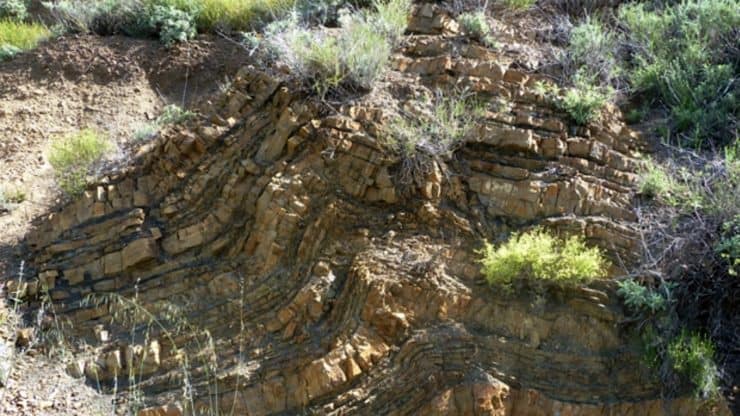
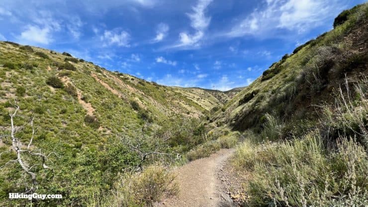
Exposed layers of the Bedford Formation along the trail. - The trail you hike up is sometimes called the Silverado Motorway, built years ago for cars to perform fire patrols, and now eroded into a singletrack trail.
- The quaint town of Silverado, where the hike starts, was a booming mining town from 1878-1881. That's why you'll see a post office and other facilities in this remote area.
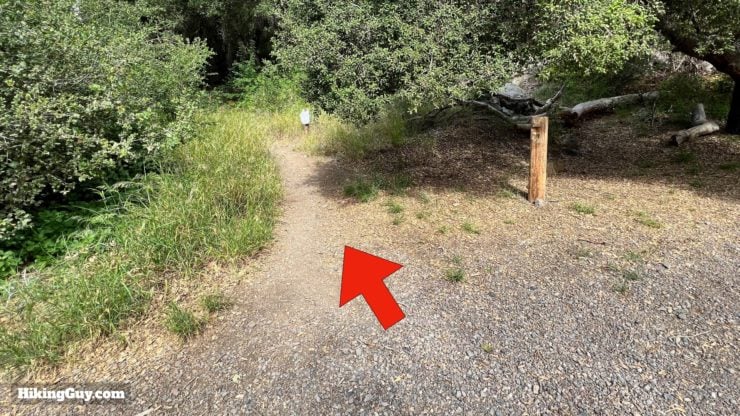
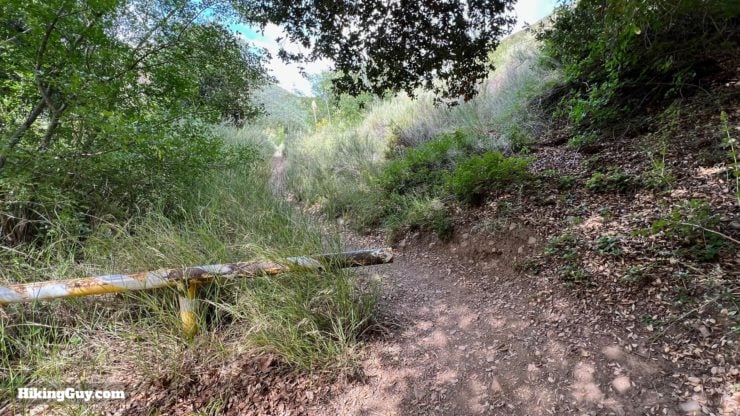
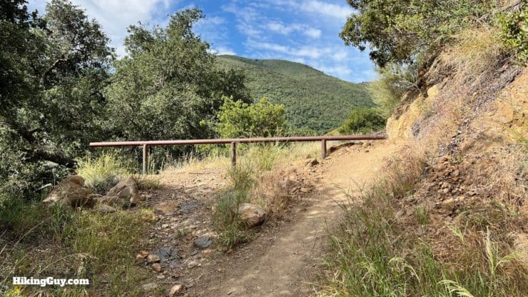
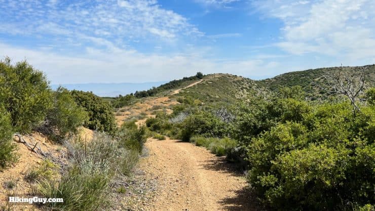
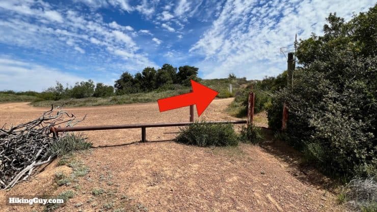
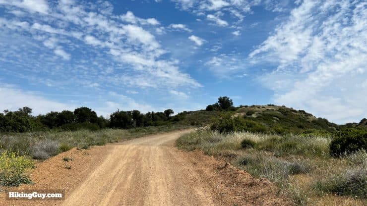
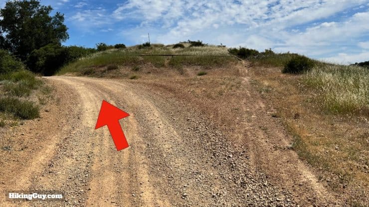
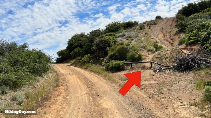
Bedford Peak Trail Directions
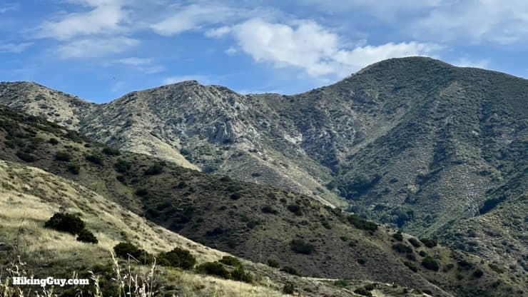

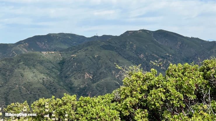
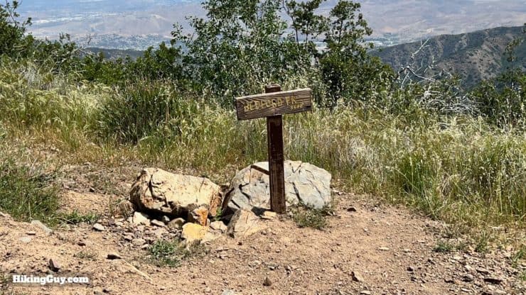
Bedford Peak marks the boundary between Riverside and Orange Counties.
Need More Info?
- Have a question about the guide or want to see what other people are saying/asking? View the Youtube comments for this video. Leave a comment and I will do my best to respond.
- When planning, always check the park website and social media to make sure the trails are open. Similarly, check the weather and road conditions.
Related Guides
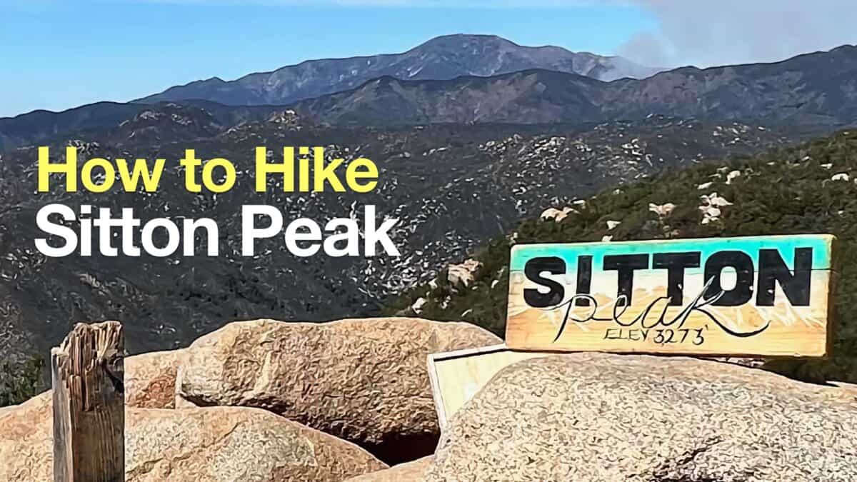 Sitton Peak Hike
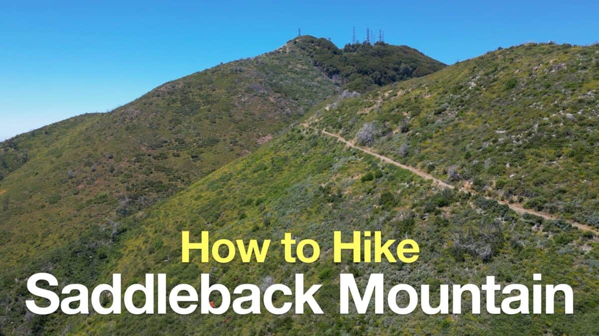 Saddleback Mountain Hike (Santiago Peak)
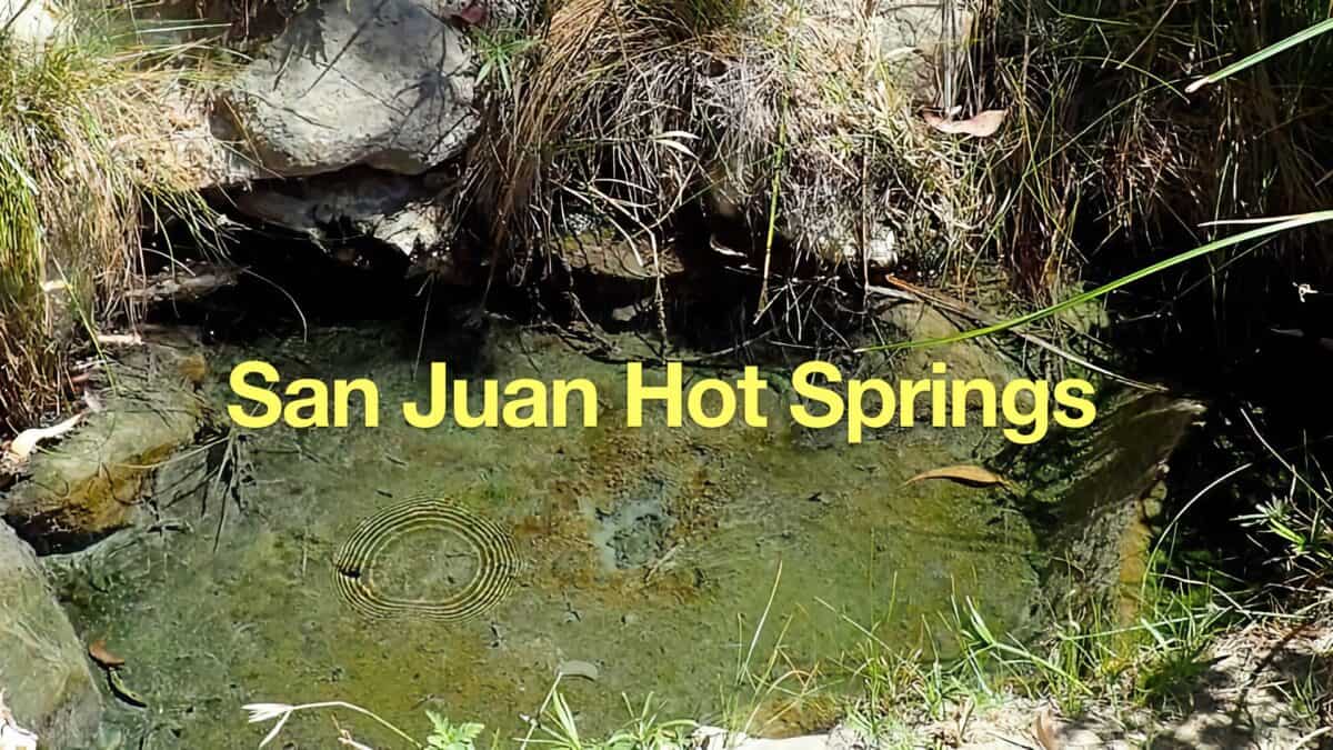 Caspers Wilderness Park - Hike San Juan Hot Springs
 Hike Coal Canyon Trail
 Hikes In and Around Orange County
 Cleveland National Forest Hiking
 Hikes In and Around Riverside County
Popular Guides
 Best Hiking Gear 2024
 Hiking Boots or Shoes: Do I Really Need Hiking Boots?
 When to Hit SOS on inReach
This Guide Was Written by Cris Hazzard

Hi, I'm Cris Hazzard, aka Hiking Guy, a professional outdoors guide, hiking expert, and author based in Southern California. I created this website to share all the great hikes I do with everyone else out there. This site is different because it gives detailed directions that even the beginning hiker can follow. I also share what hiking gear works and doesn't so you don't waste money. I don't do sponsored or promoted content; I share only the gear recommendations, hikes, and tips that I would with my family and friends. If you like the website and YouTube channel, please support these free guides (I couldn't do it without folks like you!). You can stay up to date with my new guides by following me on YouTube, Instagram, or by subscribing to my monthly newsletter.